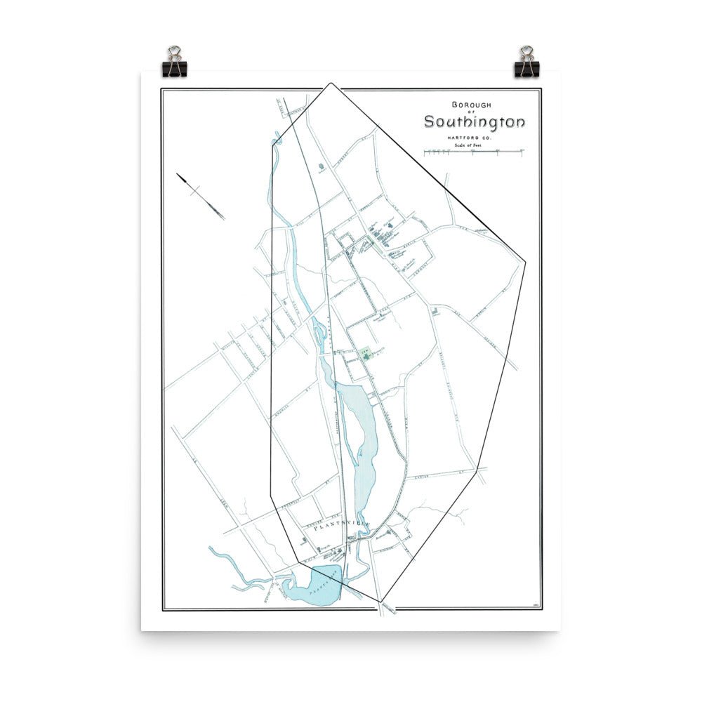
Map of Southington, Connecticut from 1893
This map of Southington, Connecticut was published in 1893 by D.H. Hurd & Co. The map was part of an atlas showcasing prominent Connecticut towns and cities using government surveys and county records.
A statement in any room, these museum quality reproductions are printed on durable, archival matte paper using a restored print of the original map.
Height: 24"
Width: 18"

Map of Southington, Connecticut from 1893
If you have any questions, you are always welcome to contact us. We'll get back to you as soon as possible, within 24 hours on weekdays.
Shipping Information
Use this text to answer questions in as much detail as possible for your customers.
Customer Support
Use this text to answer questions in as much detail as possible for your customers.
FAQ’s
Use this text to answer questions in as much detail as possible for your customers.
Contact Us
Use this text to answer questions in as much detail as possible for your customers.