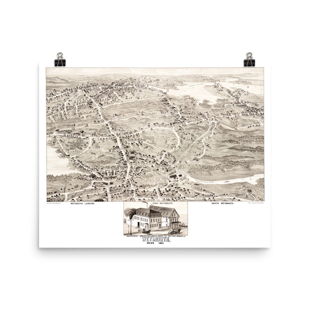
Weymouth, MA 1880
The map shows Weymouth, Mass as it looked in the 19th century including Weymouth Landing, East Weymouth, North Weymouth, South Shore Railroad, Whitman’s Pond, Weymouth Fore River, and more.
A statement in any room, these reproductions are printed on durable, archival matte paper using a restored print of the original map.
Height: 20"
Width: 16"
Weymouth, MA 1880
If you have any questions, you are always welcome to contact us. We'll get back to you as soon as possible, within 24 hours on weekdays.
Shipping Information
Use this text to answer questions in as much detail as possible for your customers.
Customer Support
Use this text to answer questions in as much detail as possible for your customers.
FAQ’s
Use this text to answer questions in as much detail as possible for your customers.
Contact Us
Use this text to answer questions in as much detail as possible for your customers.