
Vintage Map of Lake Chautauqua 1885 | Restored Historic Print
Beautifully designed. Printed on archival paper for modern walls.
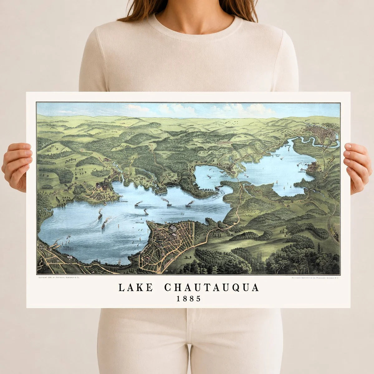
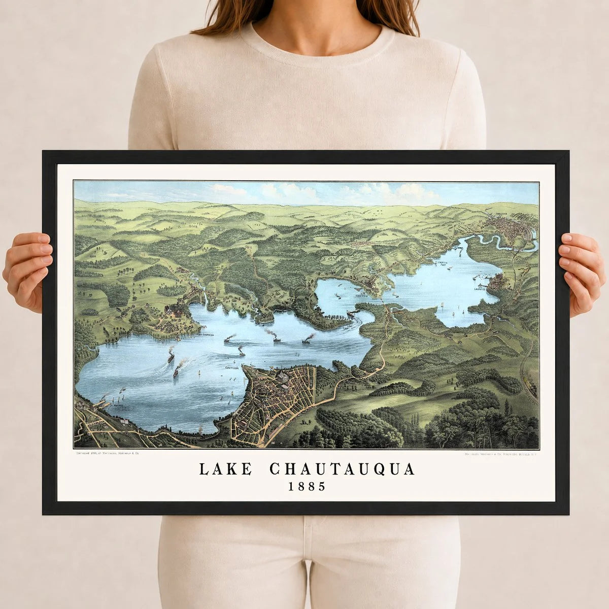
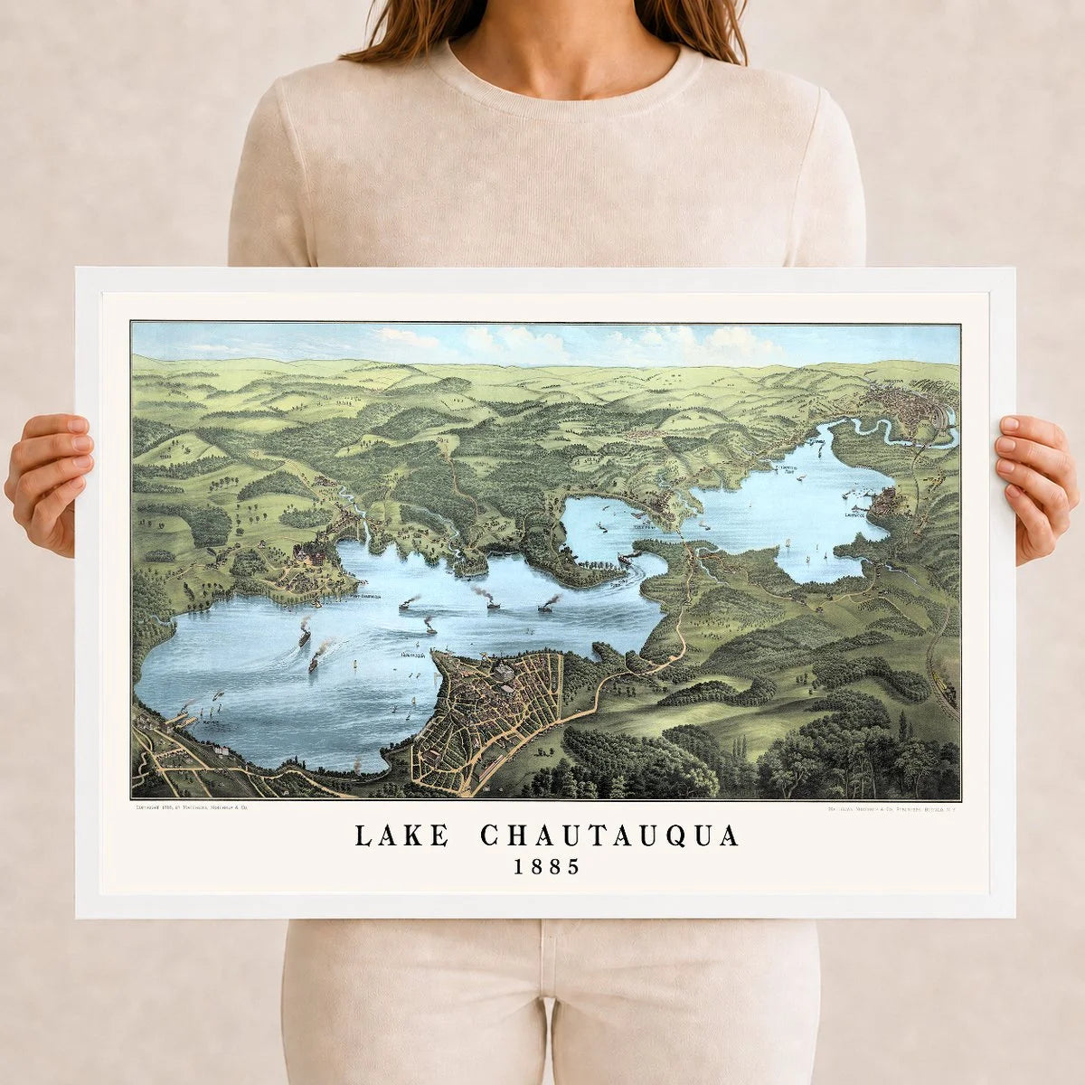
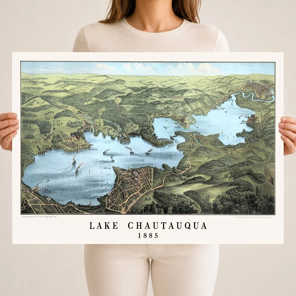
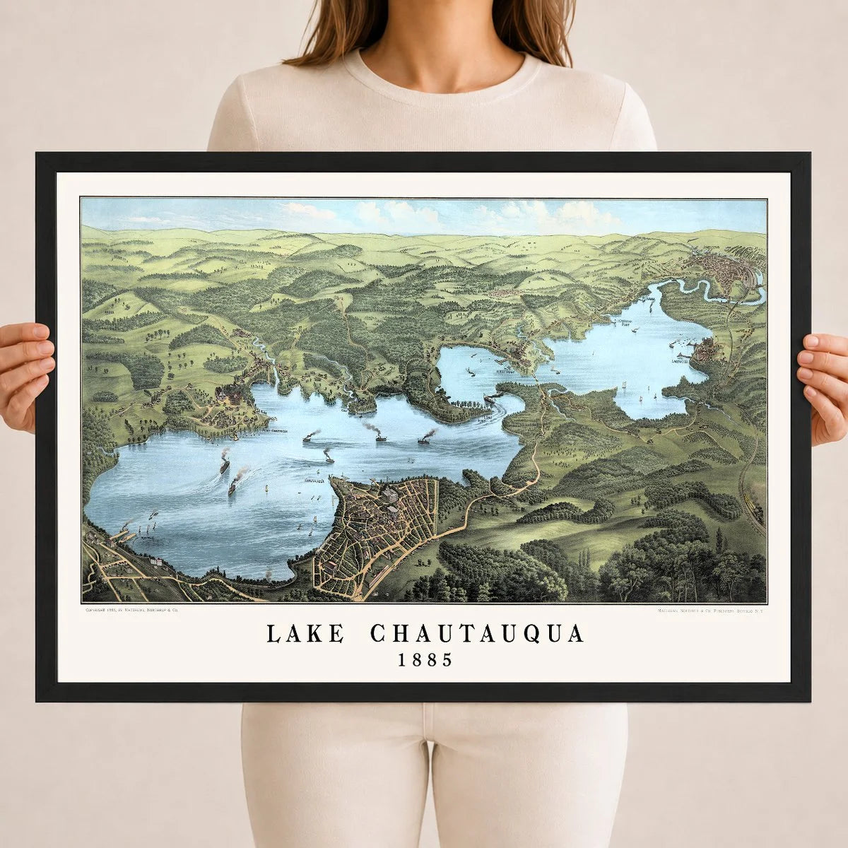
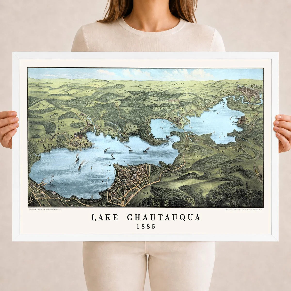
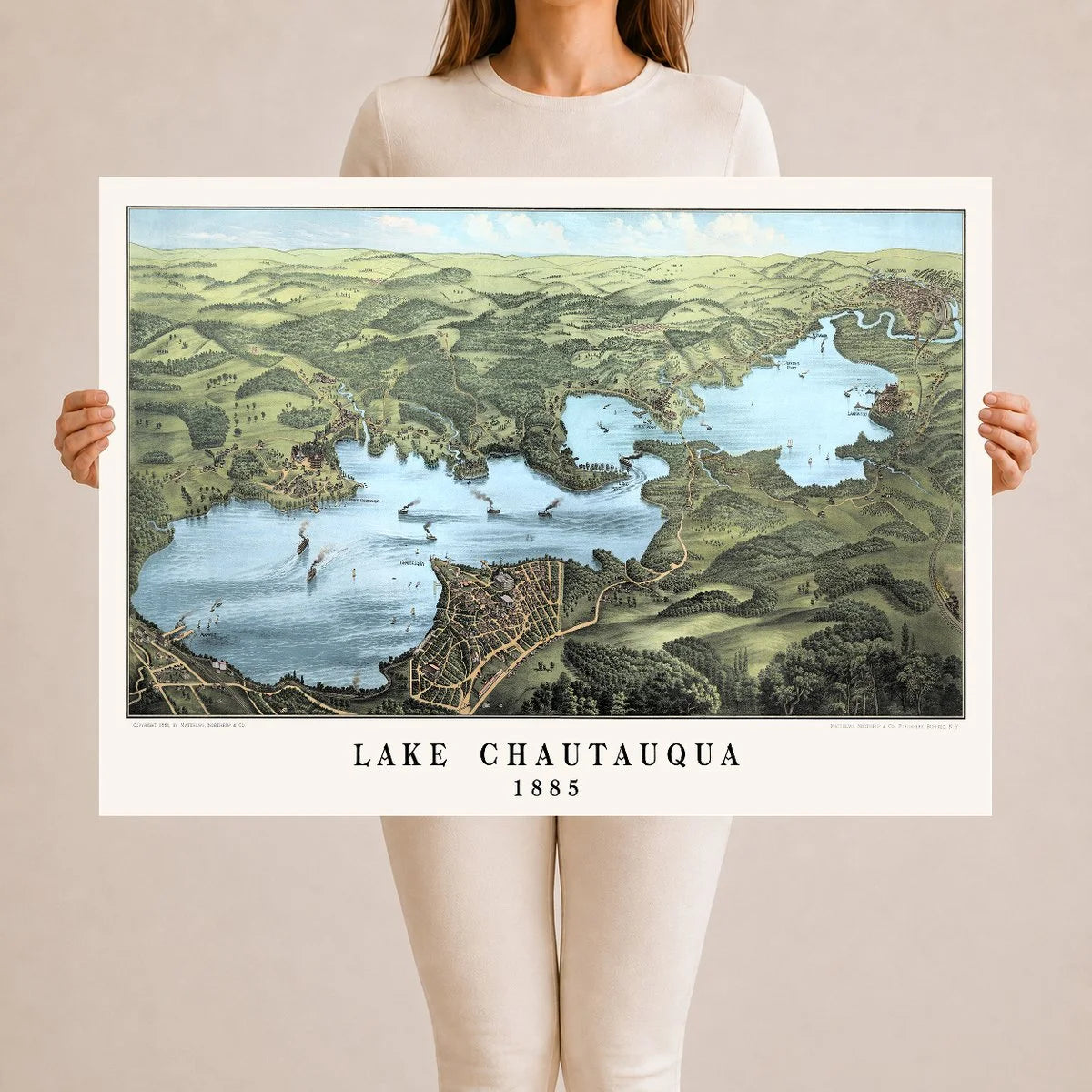
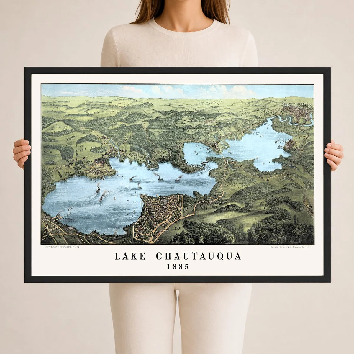
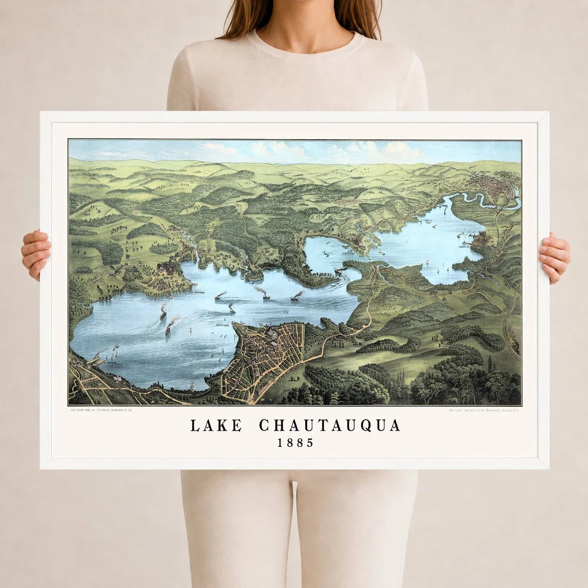
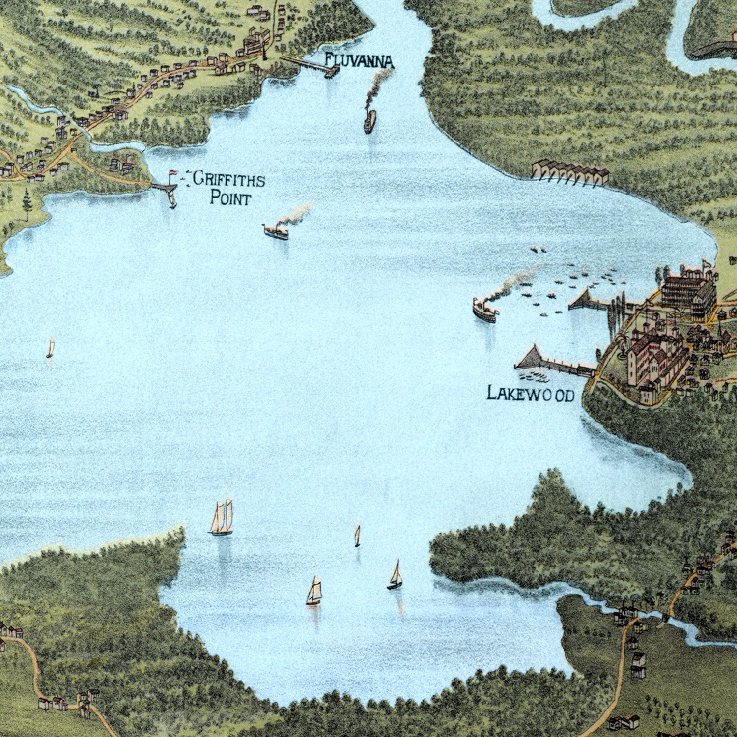
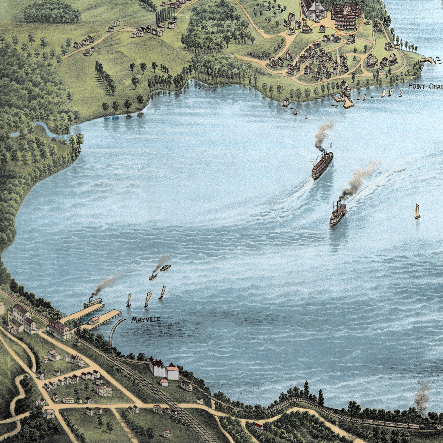
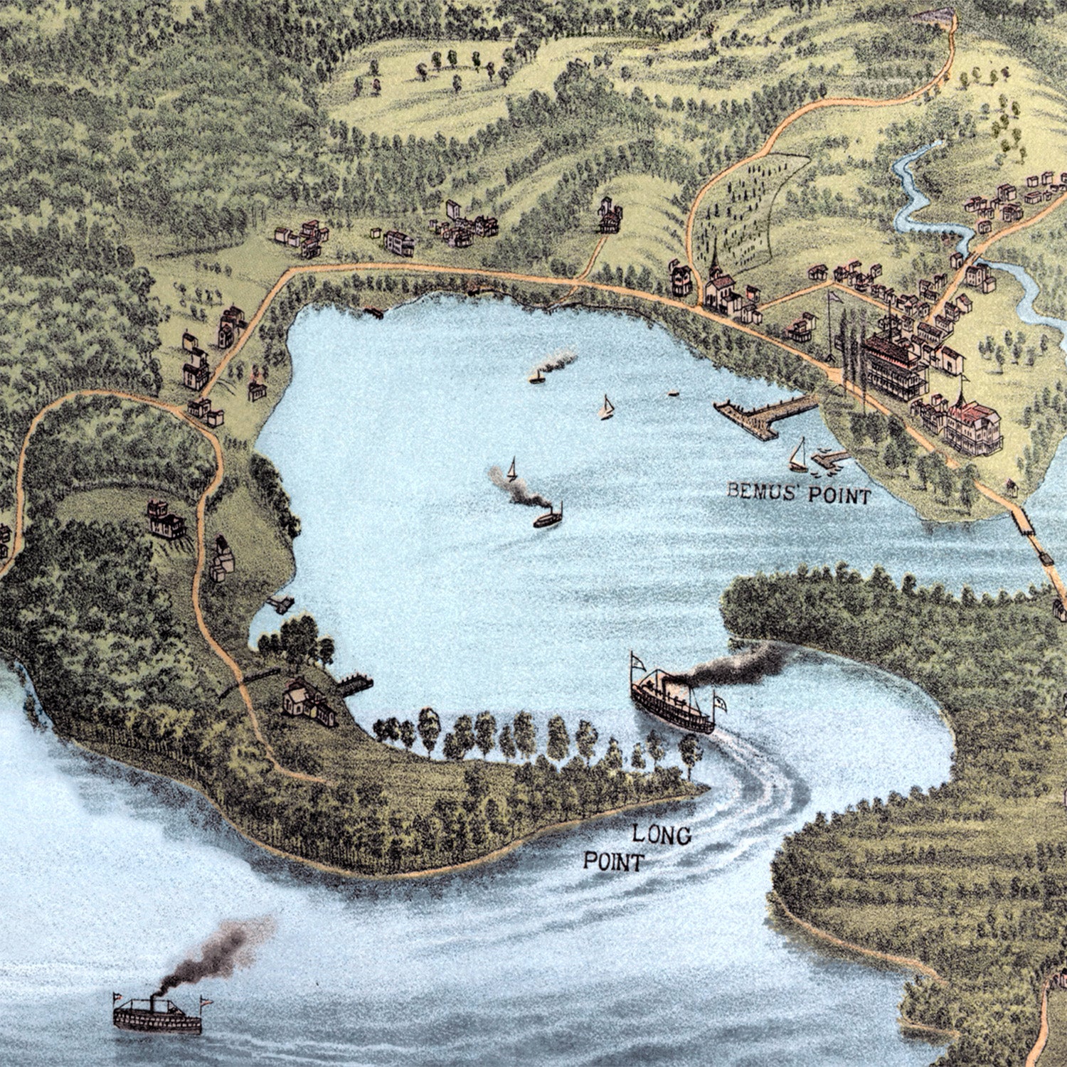
This vintage map of Lake Chautauqua, New York was created in 1885 and published by the Matthews-Northrup Company of Buffalo, New York. This restored colorized edition brings the historic Chautauqua Lake map to life while preserving the original linework, steamboats, lakefront villages, roads, railroads, wooded points, shorelines, farms, docks, summer hotels, and surrounding countryside details.
About This Historic Map
Drawn from an elevated bird's-eye perspective, this map presents Lake Chautauqua in the late 19th century, when the area was shaped by its steamboat travel, summer resorts, boating culture, lakefront communities, rail connections, hotels, docks, farms, wooded hills, and the Chautauqua Institution. The view looks across the entire lake and surrounding landscape, showing open water, winding shoreline roads, small villages, farmland, wooded points, and steamboats crossing between landings along one of western New York's most beloved summer destinations.
Notable landmarks shown on the map include Point Chautauqua, Camp Collins, Dewittville, Mayville, Long Point, Lakewood, Griffiths Point, Fluvanna, Jamestown, Bemus Point, the Western New York & Pennsylvania Railroad, the Chautauqua Institution grounds, and many of the historic roads, docks, shoreline places, wooded points, farms, villages, and lakefront communities that shaped life around Chautauqua Lake in the late 1800s.
For anyone who grew up visiting Chautauqua Lake, spent summers at a family cottage, kept a boat on the water, fished from the shore, walked the grounds at Chautauqua, or still thinks of the lake as home, this map is more than a historic view. It captures the familiar curve of the shoreline, the old village names, the open water, the hills beyond the lake, and the summer memories that have kept families returning to Chautauqua for generations.
A statement piece for any room, this reproduction is printed using KNOWOL's restored and colorized version of the 1885 Lake Chautauqua, New York map, preserving the historic character of the original while adding depth, warmth, and visual clarity. It makes a meaningful addition to a lake house, cottage, office, library, den, family room, or local history collection.
The Details
About This Print
A physical reproduction of the artwork shown. Choose the available size and format above. The product description provides the subject and edition details.
A frame is included only when the product or selected option is described as framed.
Materials & Craftsmanship
This reproduction is printed on archival paper. Framing materials for framed editions are listed in the product description. Decorative room props shown in display photographs are not included.
Shipping & Delivery
Free shipping within the United States. Every print is made to order in the USA.
Buying a gift? Add a note in your cart and we'll include it. We never put prices in the package.
Prints ship within 2 to 3 business days. Allow 7 to 10 days total from ordering for delivery. Timing may vary during holidays or periods of high order volume.
Read our shipping policy.
Returns & Quality Guarantee
Each print is made to order. Change-of-mind refunds are not available after production.
If your print arrives damaged, misprinted or incorrect, contact support@knowol.com within 30 days of receiving it. Include your order number, photos and a description of the issue.
Read our full refund and replacement policy. For questions about your order, email support@knowol.com.