Restored Maps of America’s Hometowns
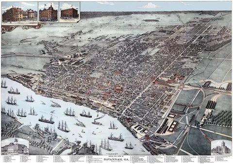
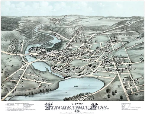
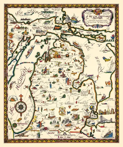
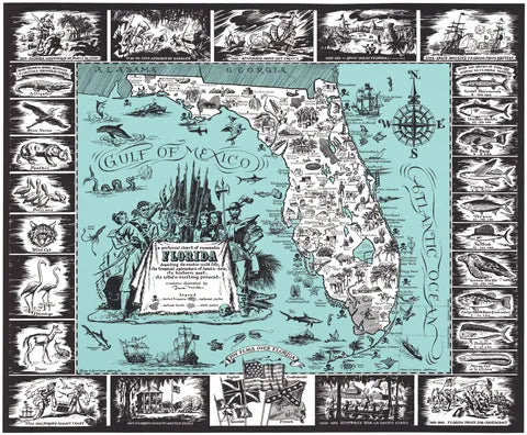
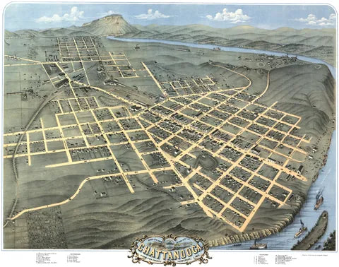
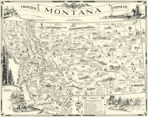
Bird’s-eye views of American towns, drawn by hand in the 1800s as if seen from a balloon, plus colorful pictorial maps of whole states. We restore each one and print it fresh on archival paper.
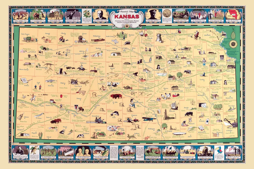
Before and After
Atlanta, Georgia in 1871, drawn by Albert Ruger. Drag across the map to compare the original print with our restoration.

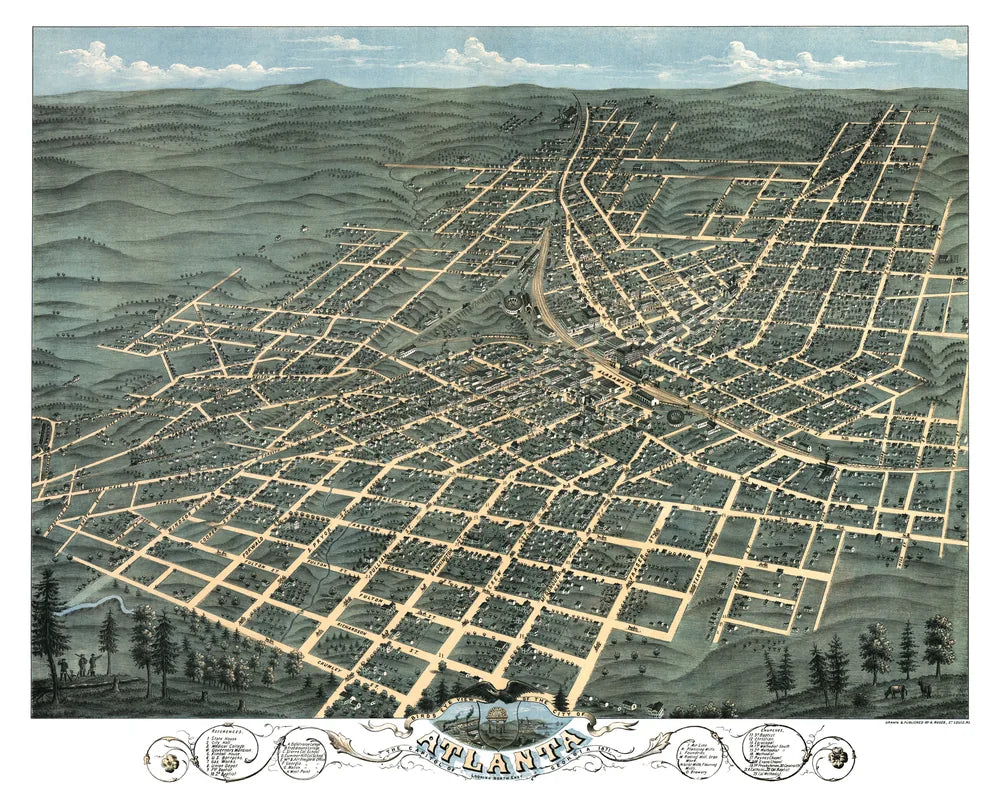
On the Walls
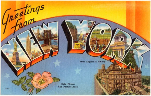
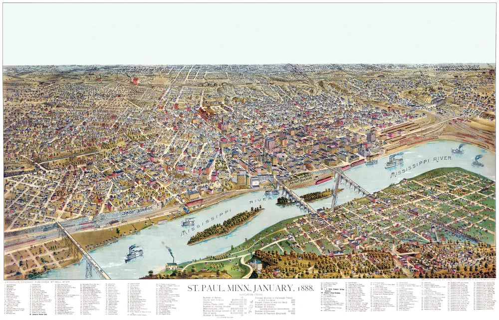
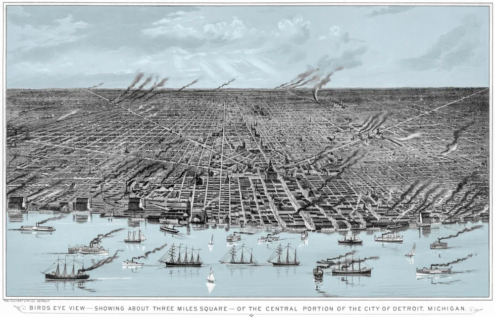
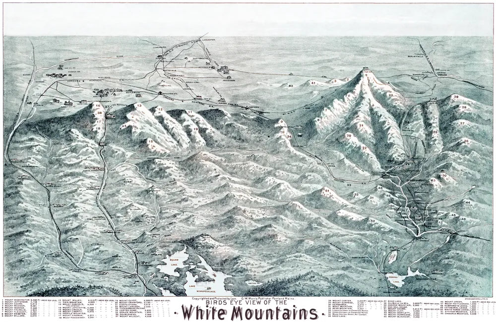
A few favorites from the collection, bird’s-eye views of towns and pictorial maps of whole states.
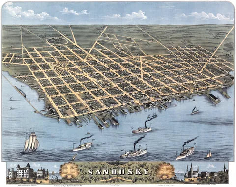
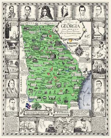

Browse by State
Pick a state to see its restored maps.
- Alabama
- Arkansas
- California
- Colorado
- Connecticut
- Delaware
- Florida
- Georgia
- Illinois
- Indiana
- Iowa
- Kansas
- Kentucky
- Maine
- Maryland
- Massachusetts
- Michigan
- Minnesota
- Missouri
- Montana
- Nebraska
- New Hampshire
- New Jersey
- New Mexico
- New York
- North Carolina
- Ohio
- Oregon
- Pennsylvania
- Rhode Island
- South Carolina
- South Dakota
- Tennessee
- Texas
- Utah
- Vermont
- Virginia
- Washington
- West Virginia
- Wisconsin
- Wyoming

Every Restored Map

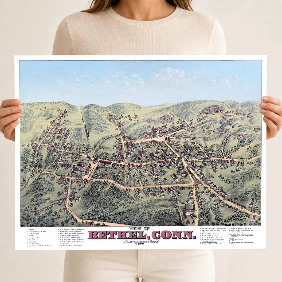


Alma, Michigan 1885 Framed Map


Appleton, WI 1874 Framed Historic Map

Asbury Park, NJ 1881 Framed Historic Map

Ashburnham, MA 1886 Framed Historic Map

Athol, MA 1887 Framed Historic Map


Bennington, VT 1887 Framed Historic Map


How a Town Was Drawn From the Sky
Long before airplanes, artists traveled from town to town and walked every street, sketching the houses, churches, mills and shops one by one. Back at the drawing table they put the whole town together as if seen from a balloon.
They sold the finished prints to the people who lived there. Most were drawn between the 1860s and the 1890s, by artists like O.H. Bailey, Albert Ruger, Lucien Burleigh and Thaddeus Fowler. We start from scans of the original prints, clean away the stains, creases and fading, and print each map fresh on archival paper.
Then and Now
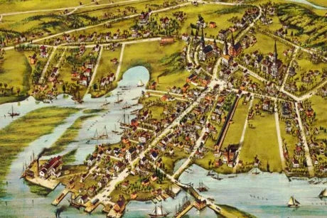
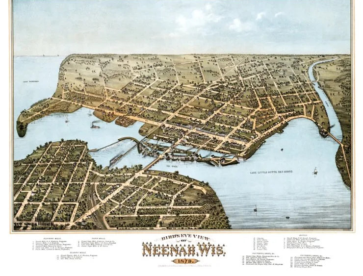
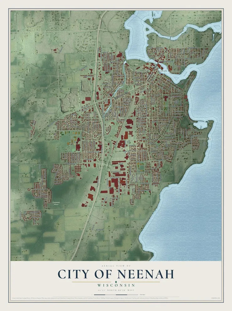
Neenah, Wisconsin in 1879, drawn as if from a balloon, and the same town on our map today.
Keep Exploring
Two more rooms at KNOWOL.