
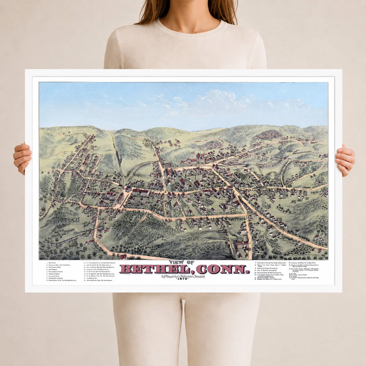
1879 Bethel Connecticut Map | Historic Bird’s-Eye View
Beautifully designed. Printed on archival paper for modern walls.
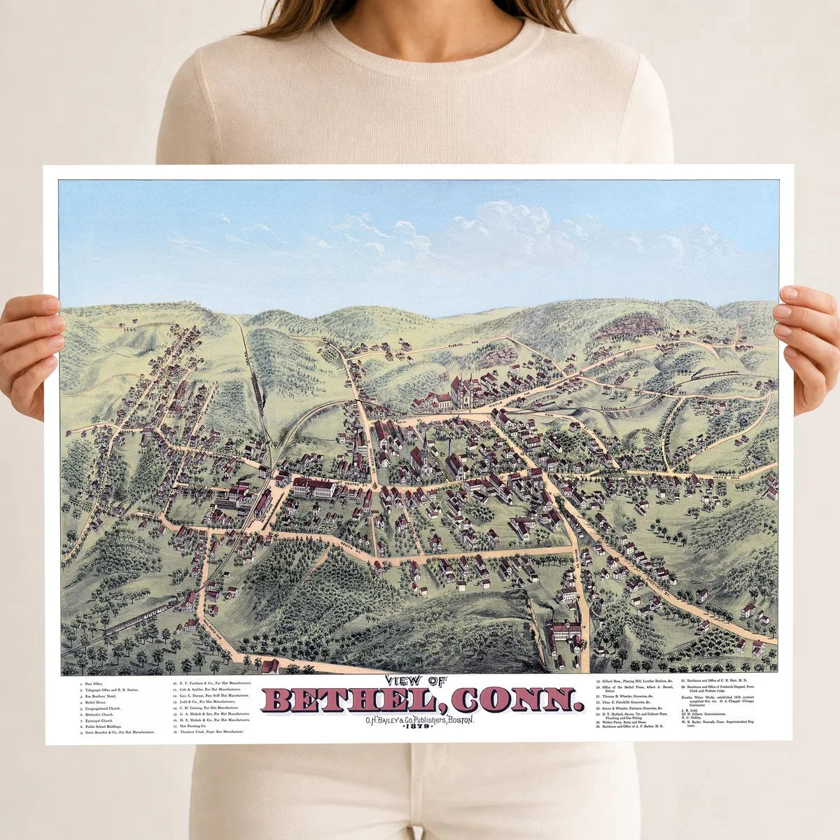
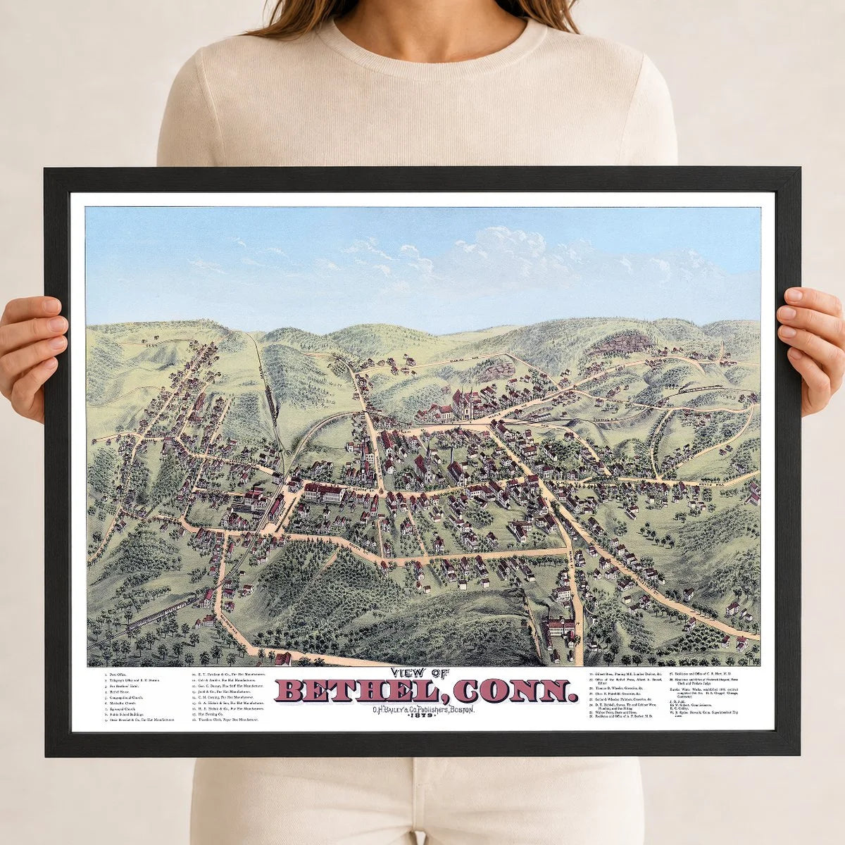
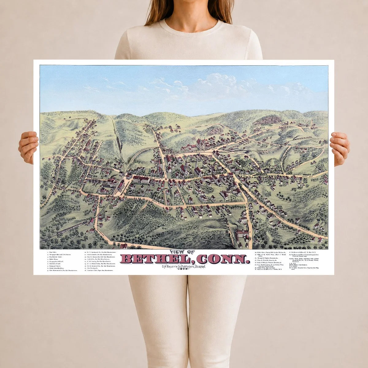
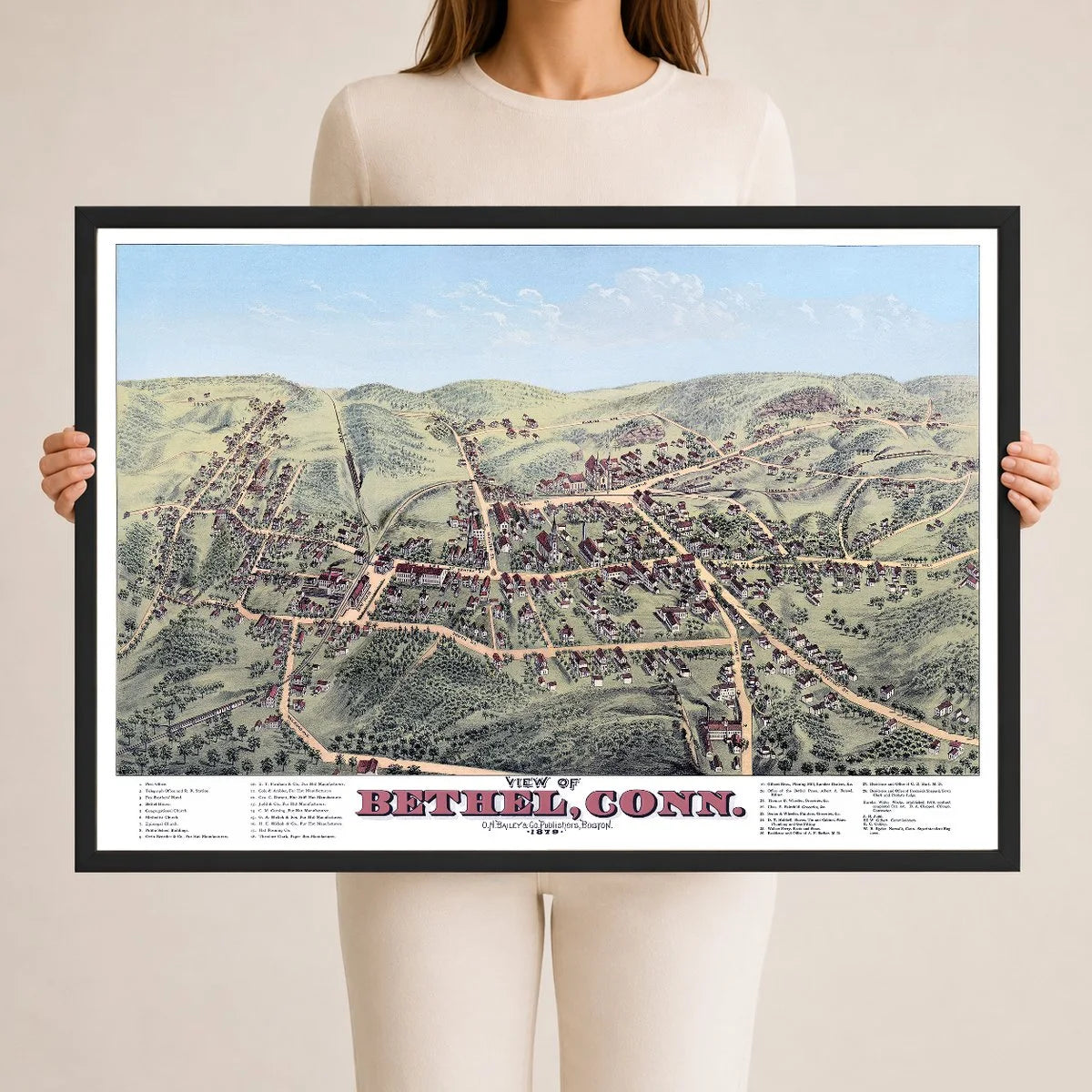
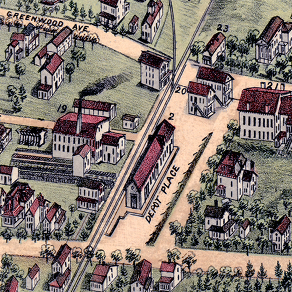
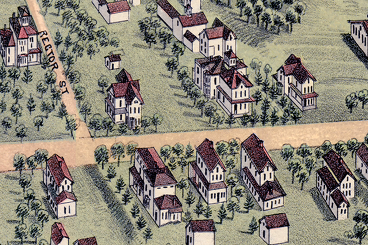
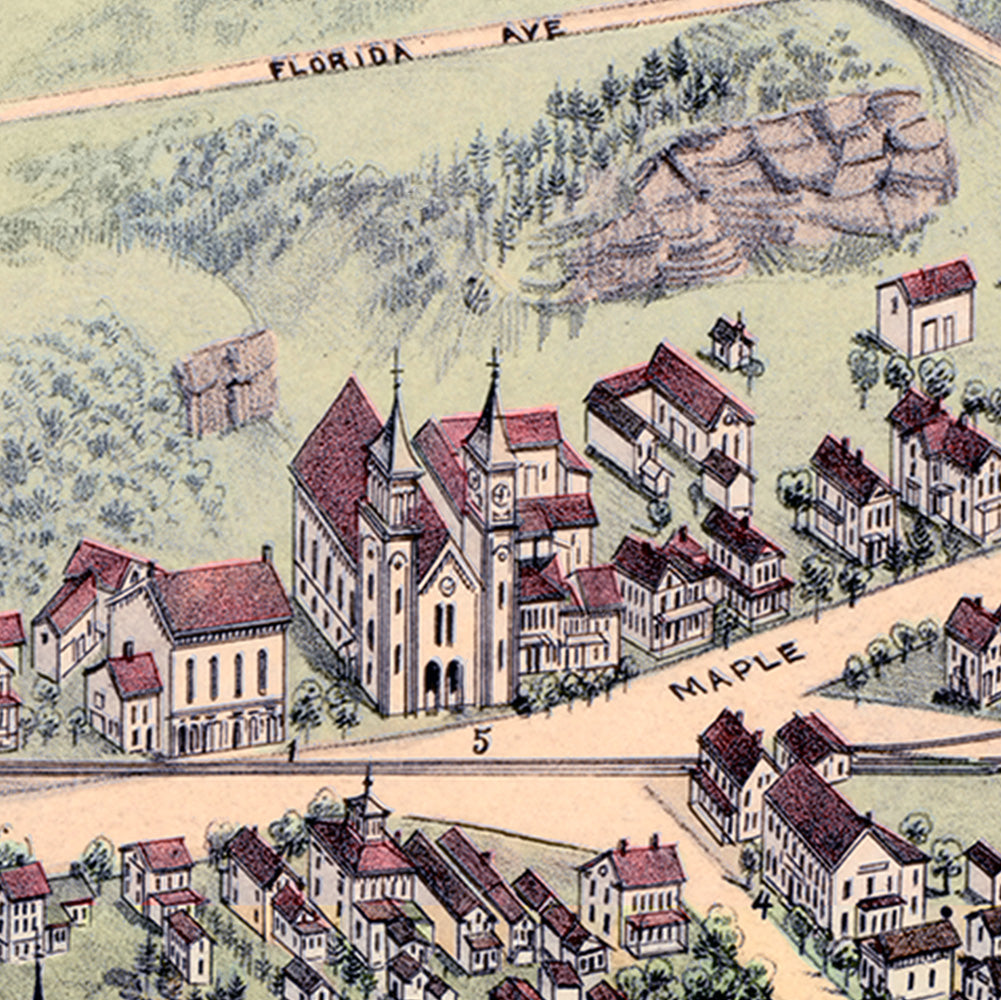
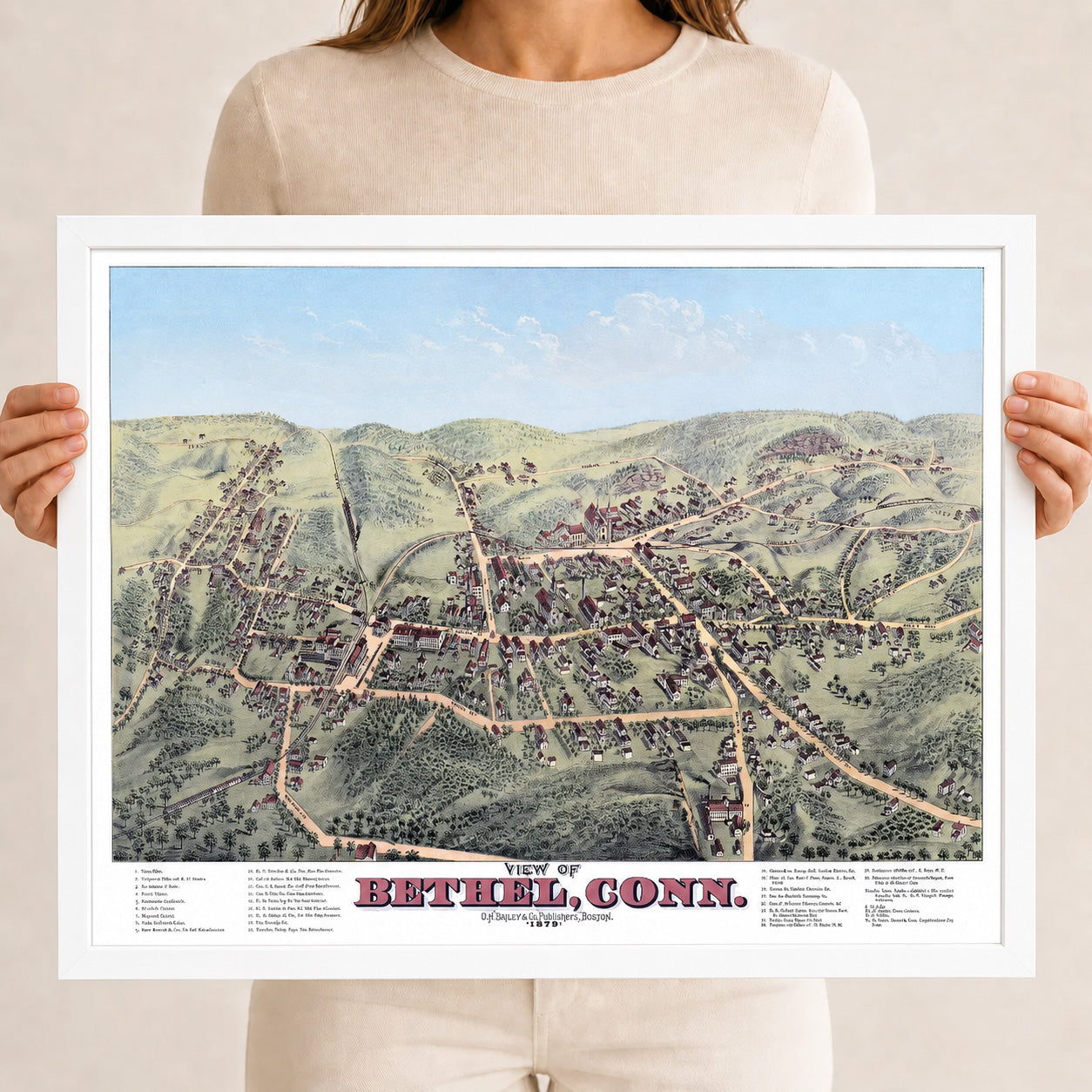
This vintage map of Bethel, Connecticut was created in 1879 by O.H. Bailey & Co., one of the most prominent bird’s-eye view map makers of the 19th century. This restored and edition brings historic Bethel to life while preserving the original linework, street names, homes, churches, railroads, hat factories, hills, roads, landmarks, and small-town details shown on the original map.
About This Historic Map
Drawn from an elevated bird’s-eye perspective, this map presents Bethel as it looked in 1879, a few decades after the town separated from Danbury and incorporated on its own in 1855. By the late 19th century, Bethel had become a thriving hat-making community, part of the greater Danbury region that produced more fur felt hats than anywhere else in America. The map’s own legend tells the story: more than half of the numbered landmarks are hat manufacturers, from Orrin Benedict & Co. and the two Hickok firms to the Hat Forming Co., reflecting an industry that employed much of the town and shaped its streets and factories.
The view looks across the hills and streets of Bethel, showing a town in the middle of its growth. Homes and residential neighborhoods spread outward from a compact commercial center of groceries, hotels, churches, and shops, all tied to the wider world by the Danbury & Norwalk Railroad and the telegraph office at its depot. The newly completed Eureka Water Works, established in 1878, marked the town’s arrival as a modern community with its own public water supply. Captured in remarkable detail are Bethel’s homes, businesses, public buildings, mills, churches, and surrounding countryside as they stood at this pivotal moment.
Notable landmarks shown on the map include the Post Office, Telegraph Office, Danbury & Norwalk Railroad Station, Fox Brothers’ Hotel, Bethel House, Public School Buildings, Orrin Benedict & Co. Fur Hat Manufacturers, E.T. Farnham & Co. Fur Hat Manufacturers, Cole & Ambler Fur Hat Manufacturers, Geo. C. Durant Fine Stiff Hat Manufacturer, Judd & Co. Fur Hat Manufacturers, G.A. Hickok & Son Fur Hat Manufacturers, H.E. Hickok & Co. Fur Hat Manufacturers, the Hat Forming Company, Theodore Clark Paper Box Manufacturer, Gilbert Brothers Planing Mill, the Bethel Press, Eureka Water Works, and more.
A statement piece for any room, this reproduction is printed using KNOWOL’s restored and colorized version of the 1879 Bethel, Connecticut map, the first restored and colorized edition of this historic map known to exist.
Restored Vintage Map of Bethel, Connecticut from 1879: see the history behind this piece in the KNOWOL library, with old photographs and the story of the town.
The Details
About This Print
A physical reproduction of the artwork shown. Choose the available size and format above. The product description provides the subject and edition details.
A frame is included only when the product or selected option is described as framed.
Materials & Craftsmanship
This reproduction is printed on archival paper. Framing materials for framed editions are listed in the product description. Decorative room props shown in display photographs are not included.
Shipping & Delivery
Free shipping within the United States.
Most prints ship within 3–5 business days. Typical delivery is 7–10 business days total from ordering. Timing may vary during holidays or periods of high order volume.
Read our shipping policy.
Returns & Quality Guarantee
Each print is made to order. Change-of-mind refunds are not available after production.
If your print arrives damaged, misprinted or incorrect, contact support@knowol.com within 30 days of receiving it. Include your order number, photos and a description of the issue.
Read our full refund and replacement policy. For questions about your order, email support@knowol.com.