
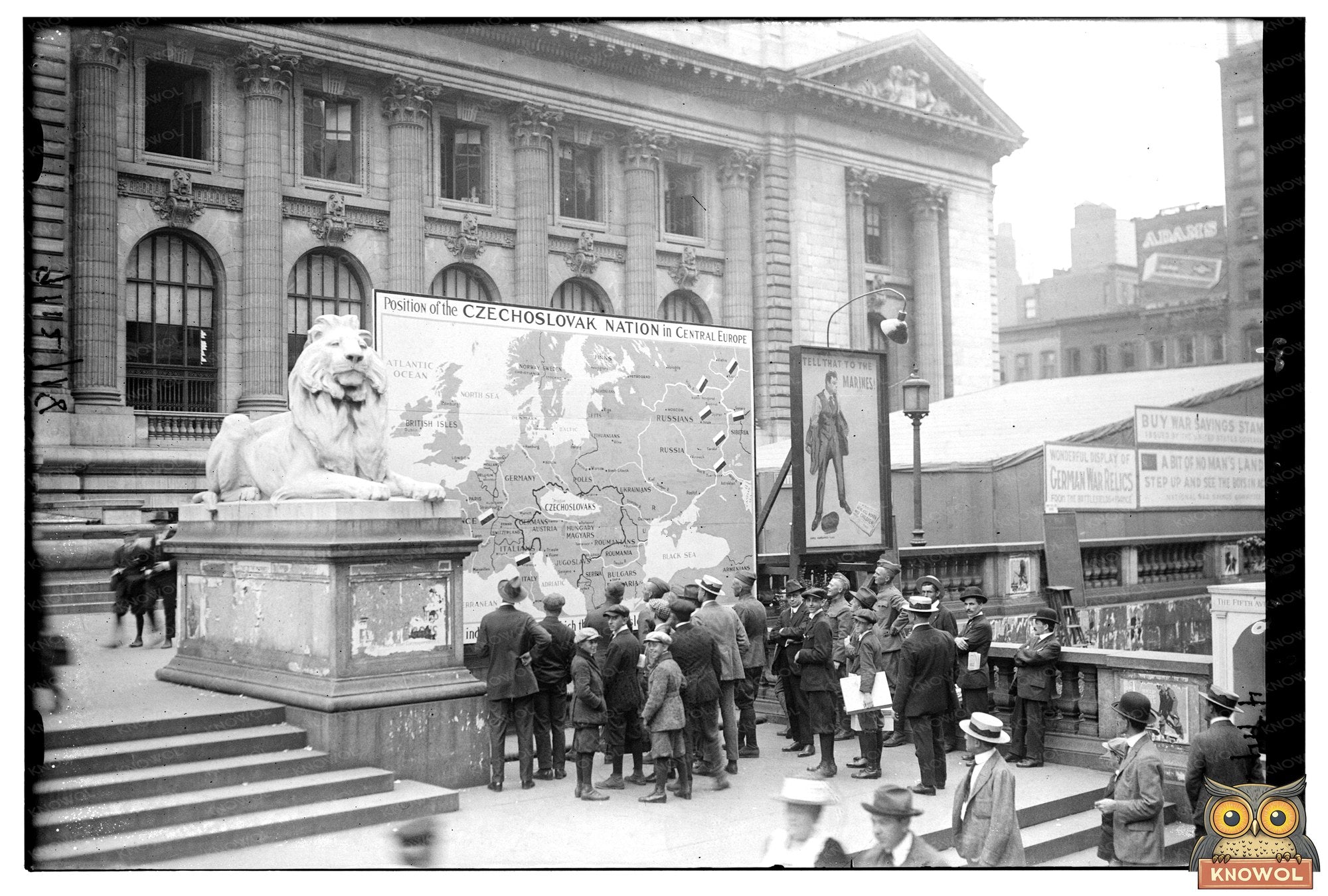


1918 Map of Czechoslovakias Central European Roots
This historical map highlights the location of Czechoslovakia in Central Europe, created on September 13, 1918. It emerged during a transformative period after World War I, as new national borders were drawn and the Austro-Hungarian Empire dissolved. The map serves as a visual representation of how geopolitical landscapes were shifting, marking the establishment of Czechoslovakia as an independent state on October 28, 1918. This was a crucial moment in history that set the stage for the nation’s complex identity, which combined Czech and Slovak populations.
The map itself captures Czechoslovakias borders and its relationship to neighboring countries, such as Germany, Austria, Hungary, and Poland. This cartographic portrayal not only reflects the boundaries but also showcases the strategic importance of the region in the post-war context. The creation of Czechoslovakia was part of a larger trend of national self-determination across Europe, where ethnic groups sought to establish their own governments and identities following centuries of imperial rule.
As we view this map today, we can better understand the historical forces that shaped modern Europe. The shifts in territory and the carving out of new nations during this era had lasting effects, influencing international relations and the boundaries we see on maps today. Understanding the importance of this map allows us to grasp the complexities of national identity and the impact of historical events on the present-day geopolitical landscape.
1918 Map of Czechoslovakias Central European Roots