
Search for another town




Free U.S. delivery 7 to 10 days after you order
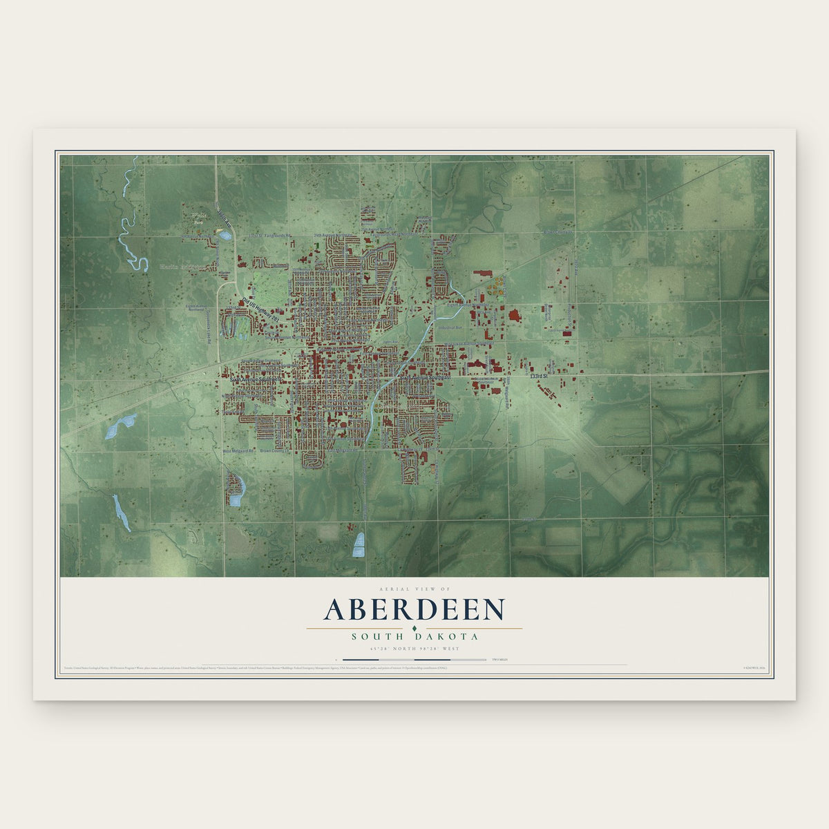
Aberdeen, South Dakota Map Art
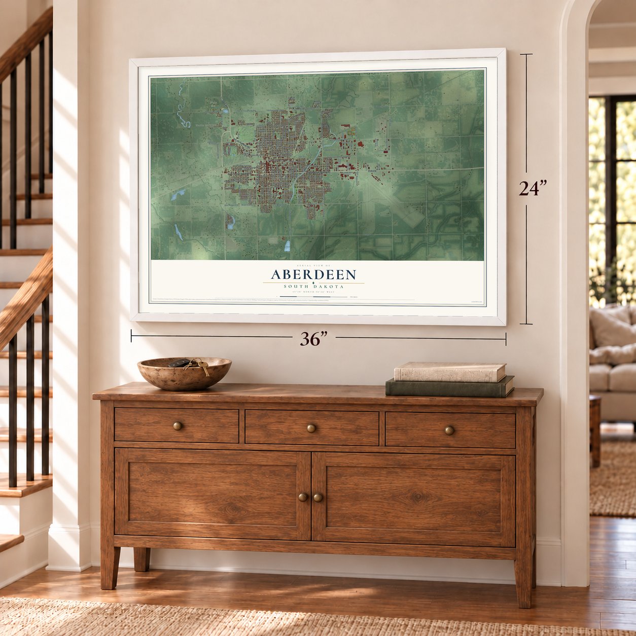
A new map of Aberdeen, South Dakota, made in 2026 and printed to order on thick archival matte paper.
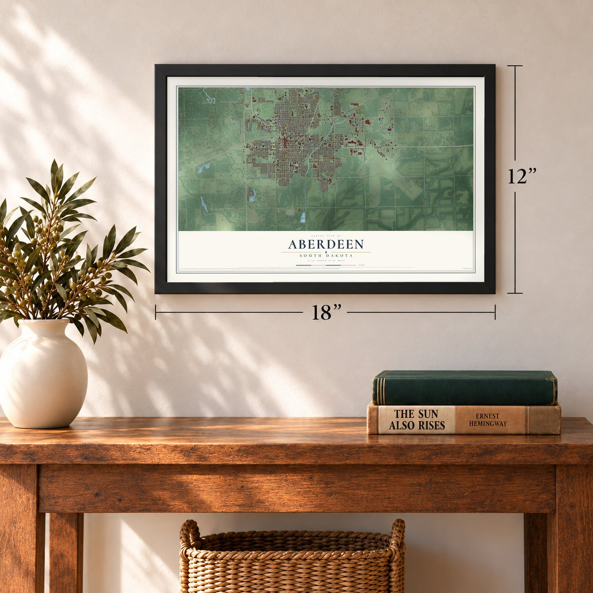
12" x 18" Archival Matte Print
A Map of Home. A Work of Art.
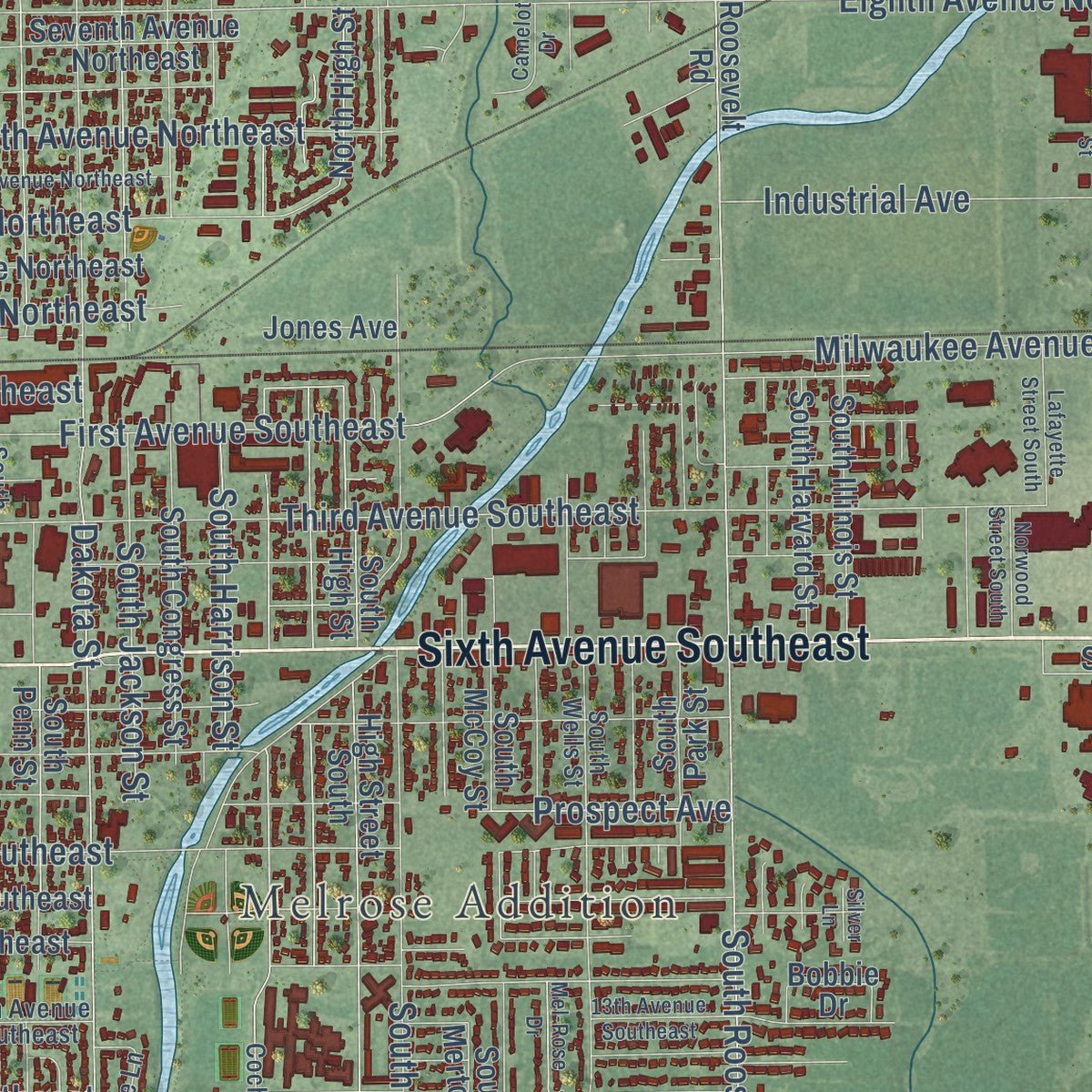
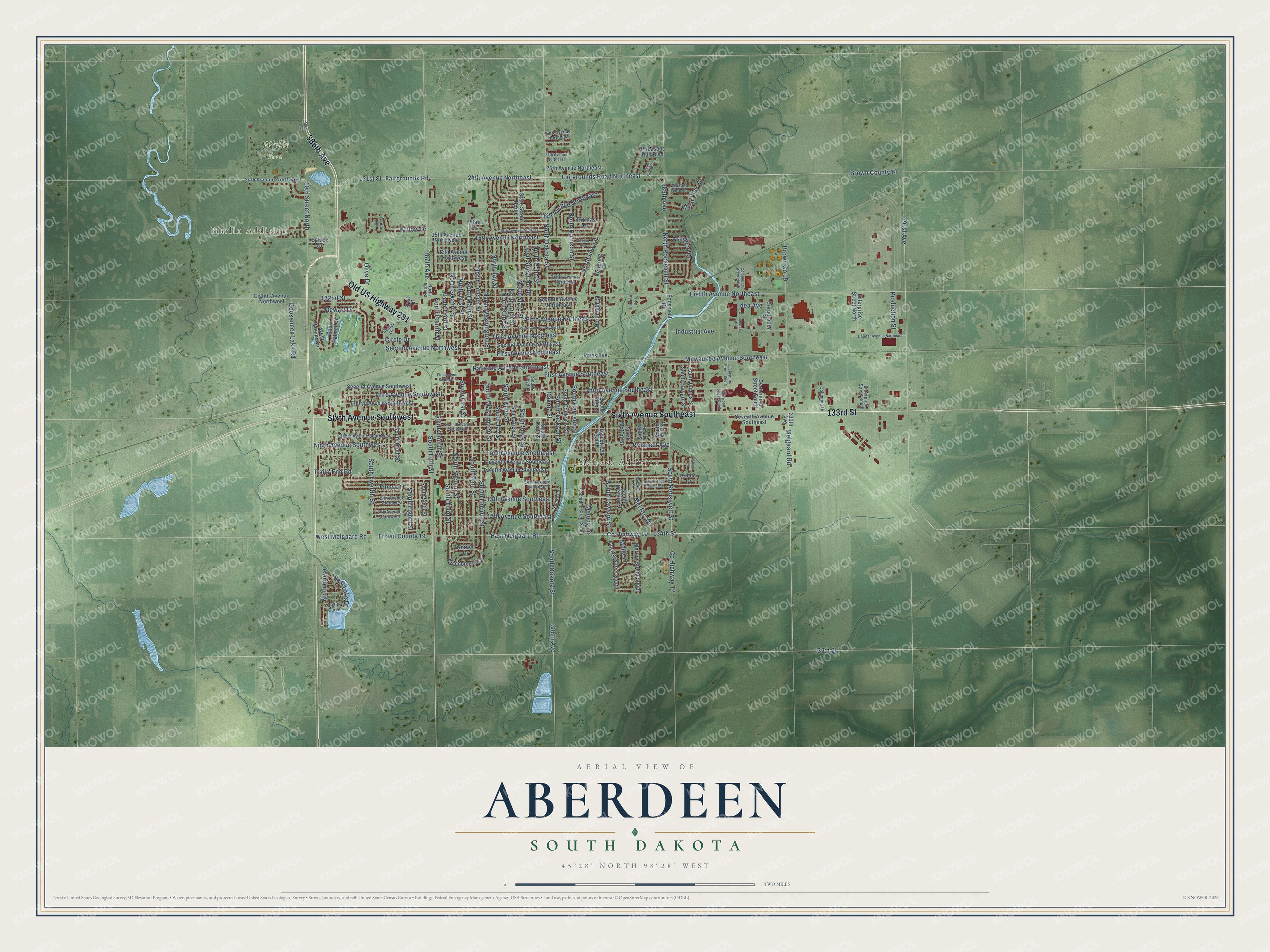
Explore Aberdeen, South Dakota from a whole new perspective. Created using aerial imagery and detailed geographic data, this map captures Aberdeen building by building, with labeled streets, familiar landmarks, and shaded topographical relief that highlights the natural contours of the landscape.
Combining modern data with the timeless character of a vintage atlas, this map is just as interesting up close as it is beautiful on the wall. Whether you grew up in Aberdeen, spent memorable years there, or call it home today, this unique map is a great way to celebrate a place that means something to you. Zoom in on the preview to look for your street, and then order a print to put your memories on the wall.
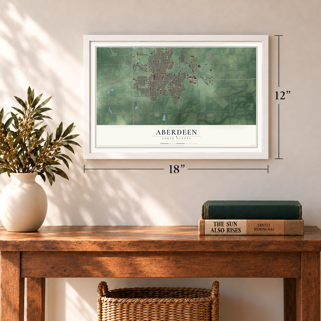
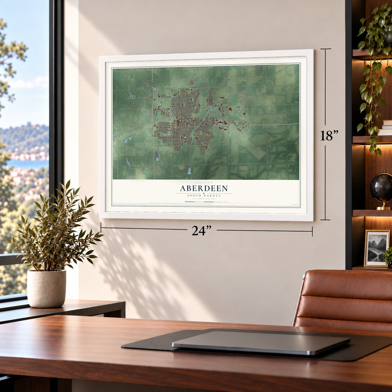
Three ways to hang it
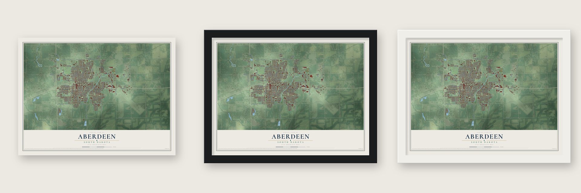
Unframed archival matte, a black wood frame or a white wood frame.
Up close
Geography Worth Displaying
This map was created using accurate cartographic data and authoritative geographic sources, including the U.S. Geological Survey and the Census Bureau. The map brings together terrain, waterways, roads, and building detail. The majority of the streets are labeled, houses are accurately depicted, and the topography is derived from government sources. Combining local data with carefully composed color and shading leads to this beautifully detailed Aberdeen artwork for your wall.
Rather than simply showing street outlines, we’ve included as many of the street names as we could reasonably fit on the map while keeping their names legible. Zoom in on the high resolution preview to see exactly what’s on the map. We truly set out to create a statement piece for anyone who loves Aberdeen. So whether it’s for you, or a gift for someone you love, we hope this map of Aberdeen brings back fond memories.
Read the story behind this map of Aberdeen, South Dakota from 2026.

About Aberdeen, South Dakota
Aberdeen is a city of 28,495 people and the county seat of Brown County, in the James River valley. Charles Prior, superintendent for the Milwaukee Road in Minneapolis, platted the townsite on January 3, 1881. His boss, Alexander Mitchell, picked the names for the railroad's towns, and he named this one for his birthplace, Aberdeen, Scotland. The town dates its founding to July 6, 1881, when the first Milwaukee train pulled in, and the Territorial Legislature granted it a city charter in March 1883.
Heavy rains brought back an old pond under Main Street and flooded every basement, so people called Aberdeen "The Town in the Frog Pond." The city's single steam pump needed days or weeks to clear the water, and it often rained again first. In 1882 the city planned a ditch, and in 1884 it dug an artesian well instead. The water underground burst out so hard that Main Street stood in up to four feet of water. Engineers then fitted the well with a gate valve, and it became Aberdeen's first working water supply.
- Hub City of the DakotasFour railroad companies built depots in Aberdeen, and seen from above, their tracks met like the spokes of a wheel at its hub. Those lines let the town grow, though only the BNSF Railway still runs through it.
- L. Frank Baum's years hereBefore he wrote The Wonderful Wizard of Oz, L. Frank Baum lived in Aberdeen with his family from 1888 to 1891. His store, Baum's Bazaar, lasted a little over a year before it failed. He then published one of the town's nine newspapers and wrote editorials for women's suffrage, which was on the ballot for the new state's constitution. He left for Chicago in 1892, and Storybook Land now has a Land of Oz.
- The first Super 8, 1974Dennis Brown and Ron Rivett started Super 8 Motels in 1972 as a referral system, and they turned it into a franchise the next year. Their first motel, with 60 rooms, opened in Aberdeen in 1974. It is still open as the Super 8 Aberdeen East.
- The Aberdeen PheasantsThe Pheasants played class C baseball from 1946 to 1971 and again from 1995 to 1997, as a farm team of the St. Louis Browns, now the Baltimore Orioles. Don Larsen, Lou Piniella and Hall of Fame pitcher Jim Palmer passed through on their way to the majors, and Cal Ripken Sr. coached the team in the 1960s.
Find your street
Names on the Aberdeen map
Every name below is printed on this map. Look for your street, your school, the park where you played, or the pond down the road.
Places and landmarks3
- Harlin Addition
- Melrose Addition
- Wylie Park
Streets and roads172
- 386th Avenue
- Sixth Avenue Southeast
- Sixth Avenue Southwest
- Old US Highway 281
- 133rd Street
- County Highway 19
- East Melgaard Road
- North Main Street
- South Main Street
- Fairgrounds Road
- South Second Street
- North Second Street
- Melgaard Road
- Fairgrounds Road Northeast
- Brown County 19
- Brown County 14
- 131st Street
- 391st Avenue
- South Fourth Street
- North Dakota Street
- 388th Avenue
- North Roosevelt Street
- 19th Street North
- Northview Lane
- Prospect Avenue
- Dakota Street
- County Highway 12
- Eighth Avenue Northeast
- South Dakota Street
- 132nd Street
Show all 172 streets
- 24th Avenue Northeast
- Third Avenue Southeast
- 389th Avenue
- South Roosevelt Street
- Tenth Avenue Southeast
- First Avenue Southeast
- 15th Avenue Northeast
- North State Street
- Milwaukee Avenue Southeast
- South Lincoln Street
- South Third Street
- South First Street
- Ninth Avenue Southwest
- West Melgaard Road
- South State Street
- 15th Avenue Southeast
- South Fifth Street
- 134th Street
- South Washington Street
- Fifth Avenue Northeast
- Third Avenue Northeast
- Third Avenue Southwest
- Railroad Avenue Southeast
- South Lawson Street
- North Penn Street
- 387th Avenue
- Industrial Avenue
- North First Street
- 17th Avenue Southeast
- Lloyd Street North
- North Lincoln Street
- North Washington Street
- South Twelfth Street
- North Jay Street
- North Kline Street
- North Third Street
- 18th Avenue Northeast
- South Eighth Street
- South Kline Street
- North Harrison Street
- First Avenue Northeast
- Second Avenue Northwest
- North Arch Street
- North Fourth Street
- South Jay Street
- 135th Street
- Stewart Drive
- South Jackson Street
- Circle Drive
- Willow Drive
- Ashwood Drive
- Water View Drive
- Mel Ros Drive
- South Harrison Street
- Ninth Curve
- Gooseneck Lake Road
- Plum Lane
- Olive Drive
- East Lake Drive
- Production Street
- Trails-End Road
- Melody Lane
- Miller Lane
- Idea Avenue
- Eisenhower Circle
- South McCoy Street
- Roosevelt Road
- Thomas Drive
- Eighth Avenue Northwest
- 24th Avenue Northwest
- State Street North
- Twelfth Avenue Southeast
- Seventh Avenue Southeast
- High Street South
- South High Street
- South Ninth Street
- Eleventh Avenue Southeast
- Seventh Avenue Northeast
- Second Avenue Southwest
- Fourth Avenue Southwest
- Second Avenue Northeast
- Pheasant Run Boulevard
- South Penn Street
- South Arch Street
- 15th Avenue Northwest
- Kettering Drive
- 390th Avenue
- East Drive
- South Congress Street
- South Park Street
- Merton Street South
- Lawson Street South
- 25th Avenue Northeast
- Centennial Street South
- South Merton Street
- North High Street
- East Palmer Circle
- South Harvard Street
- South Illinois Street
- Enterprise Street North
- West Palmer Circle
- Corporation Street
- South Sixth Street
- 13th Avenue Northwest
- Bobbie Drive
- Jones Avenue
- Gorder Drive
- Spruce Drive
- Lilac Lane
- 14th Avenue Southeast
- South Lloyd Street
- South Wells Street
- Eighth Avenue Southwest
- Cochrane Street South
- Tenth Avenue Northeast
- 15th Avenue Southwest
- 17th Avenue Southwest
- North Fifth Street
- Whisper Wind Drive
- Squire Lane
- Enterprise Street South
- 29th Avenue Northeast
- Columbia Drive
- Eighth Curve
- Center Drive
- Cedar Drive
- Seventh Avenue Southwest
- Fourth Avenue Northeast
- 13th Avenue Southeast
- Mel-Rose Drive
- 16th Avenue Northeast
- Capital Avenue Northeast
- Commerce Street
- Lafayette Street South
- First Avenue Southwest
- Commerce Street North
- Norwood Street South
- 27th Avenue Northeast
- Quail Run Boulevard
- Casper Avenue
- Camelot Drive
- Silver Lane
Names are listed as they appear on the printed map. Zoom into the product photos to find them.
The art of mapping a place
How This Map Was Made
Real places. Remarkable detail. Discover the layers that turn geographic data into a map of home.

The view from above
Aerial imagery reveals the character of the land: woodland, open fields, and the patterns of a place.

The shape of the land
Elevation data brings hills, valleys, and subtle changes in the landscape into view.

The details of home
Roads, waterways, and building footprints come together to make the map feel unmistakably local.

Geography becomes art
Considered color, shading, and typography bring the layers together in a map made for your wall.


Process illustrated with Mendon, Massachusetts. Aerial imagery: USDA NAIP. Terrain: USGS 3D Elevation Program. Map details and finished artwork: KNOWOL.
The Details
About This Print
Choose an archival matte print, or a black or white Ayous wood frame. The archival matte print is unframed.
Select your size and finish above to see the matching product image and price.
Materials & Craftsmanship
A contemporary map with the character of a classic atlas, printed on archival matte paper. Optional frames are made from Ayous wood.
Your printed map does not include the watermark shown in the full-map preview.
Shipping & Delivery
Free shipping within the United States. Every print is made to order in the USA.
Buying a gift? Add a note in your cart and we'll include it. We never put prices in the package.
Prints ship within 2 to 3 business days. Allow 7 to 10 days total from ordering for delivery. Timing may vary during holidays or periods of high order volume.
Read our shipping policy.
Returns and damaged prints
Each print is made to order. Change-of-mind refunds are not available after production.
If your print arrives damaged, misprinted or incorrect, contact support@knowol.com within 30 days of receiving it. Include your order number, photos and a description of the issue.
Read our full refund and replacement policy. For questions about your order, email support@knowol.com.
Find your town
Looking for another city?
Find a map of home in our South Dakota collection, or any town in the country.
Nearby
Maps of towns near Aberdeen
Know someone from one of these towns? Their map makes a great gift.
 Prairiewood Village
, South Dakota
From $39.99See the map
 Bath Corner
, South Dakota
From $39.99See the map
 Bath
Bath, South Dakota
From $39.99See the map
More maps nearby: Warner, Westport, Columbia, Stratford and Mina.