
Search for another town




Free U.S. delivery 7 to 10 days after you order
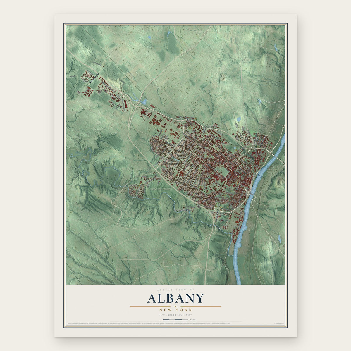
Albany, New York Map Art
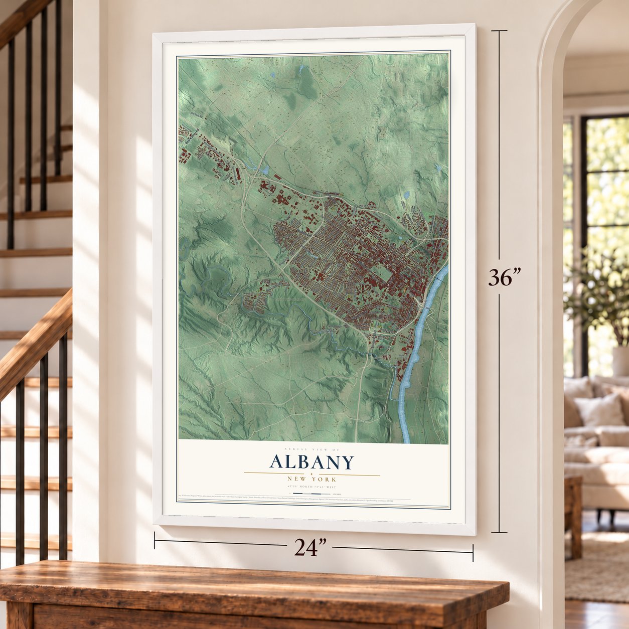
A new map of Albany, New York, made in 2026 and printed to order on thick archival matte paper.
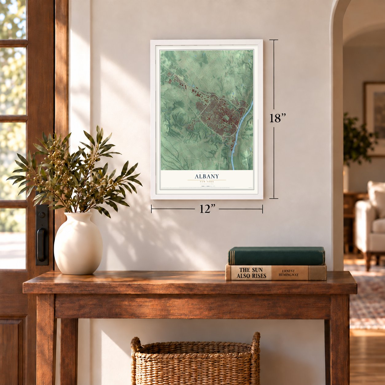
12" x 18" Archival Matte Print
A Map of Home. A Work of Art.
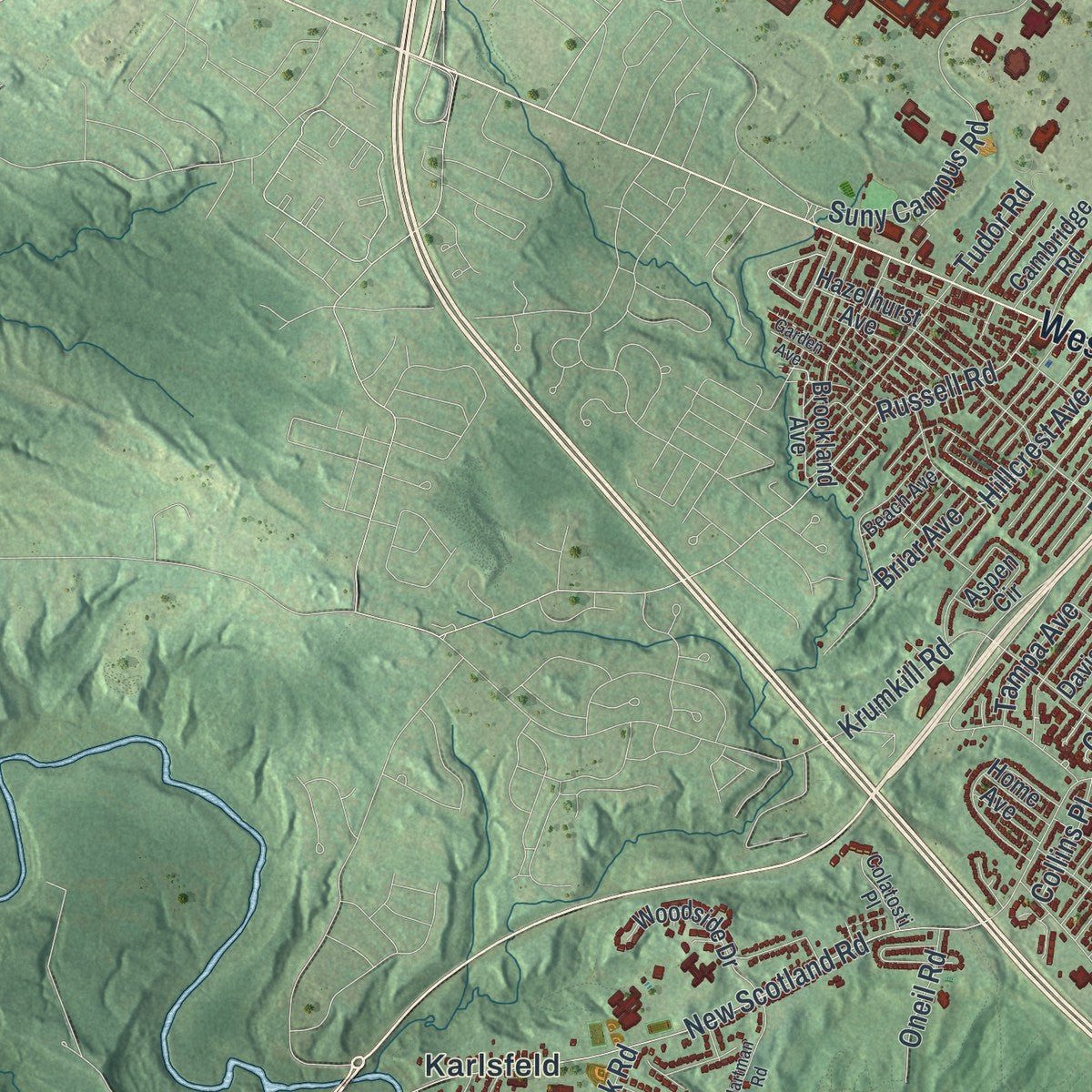
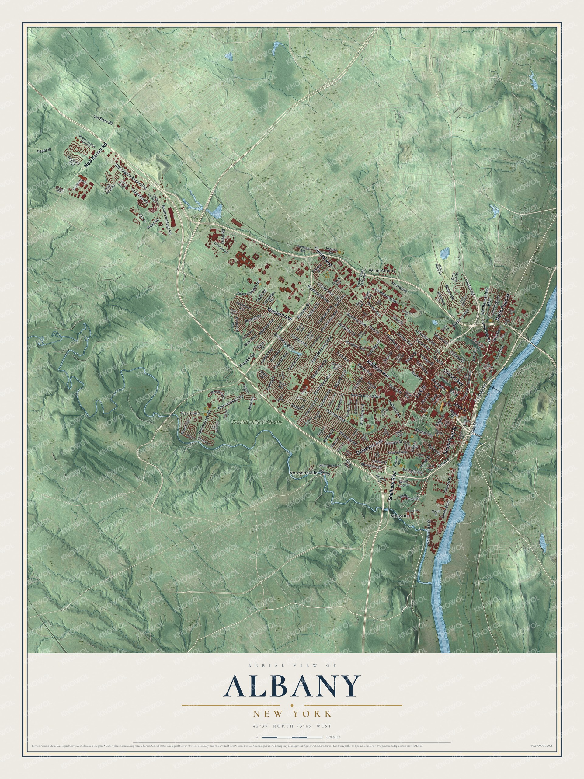
Explore Albany, New York from a whole new perspective. Created using aerial imagery and detailed geographic data, this map captures Albany building by building, with labeled streets, familiar landmarks, and shaded topographical relief that highlights the natural contours of the landscape.
Combining modern data with the timeless character of a vintage atlas, this map is just as interesting up close as it is beautiful on the wall. Whether you grew up in Albany, spent memorable years there, or call it home today, this unique map is a great way to celebrate a place that means something to you. Zoom in on the preview to look for your street, and then order a print to put your memories on the wall.
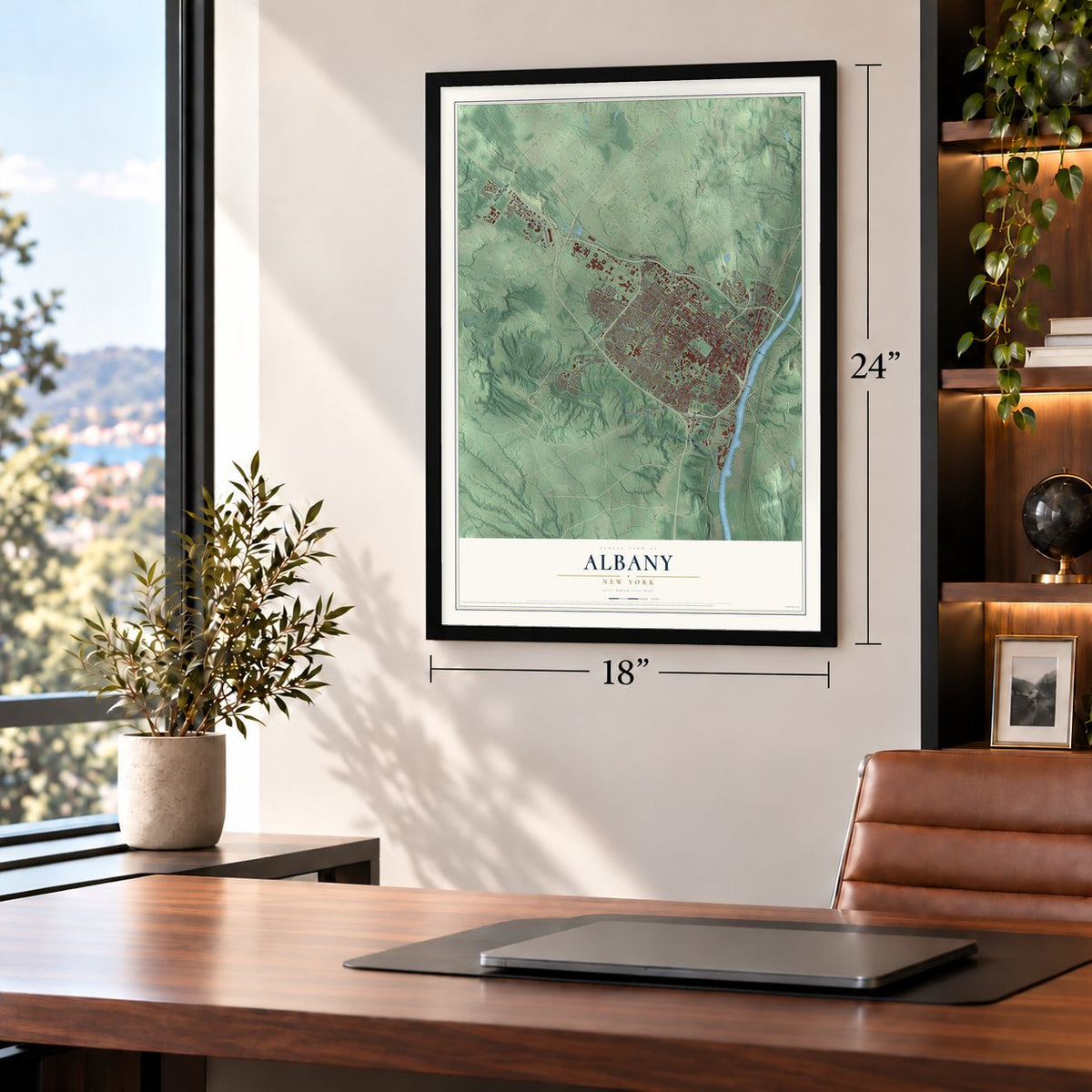
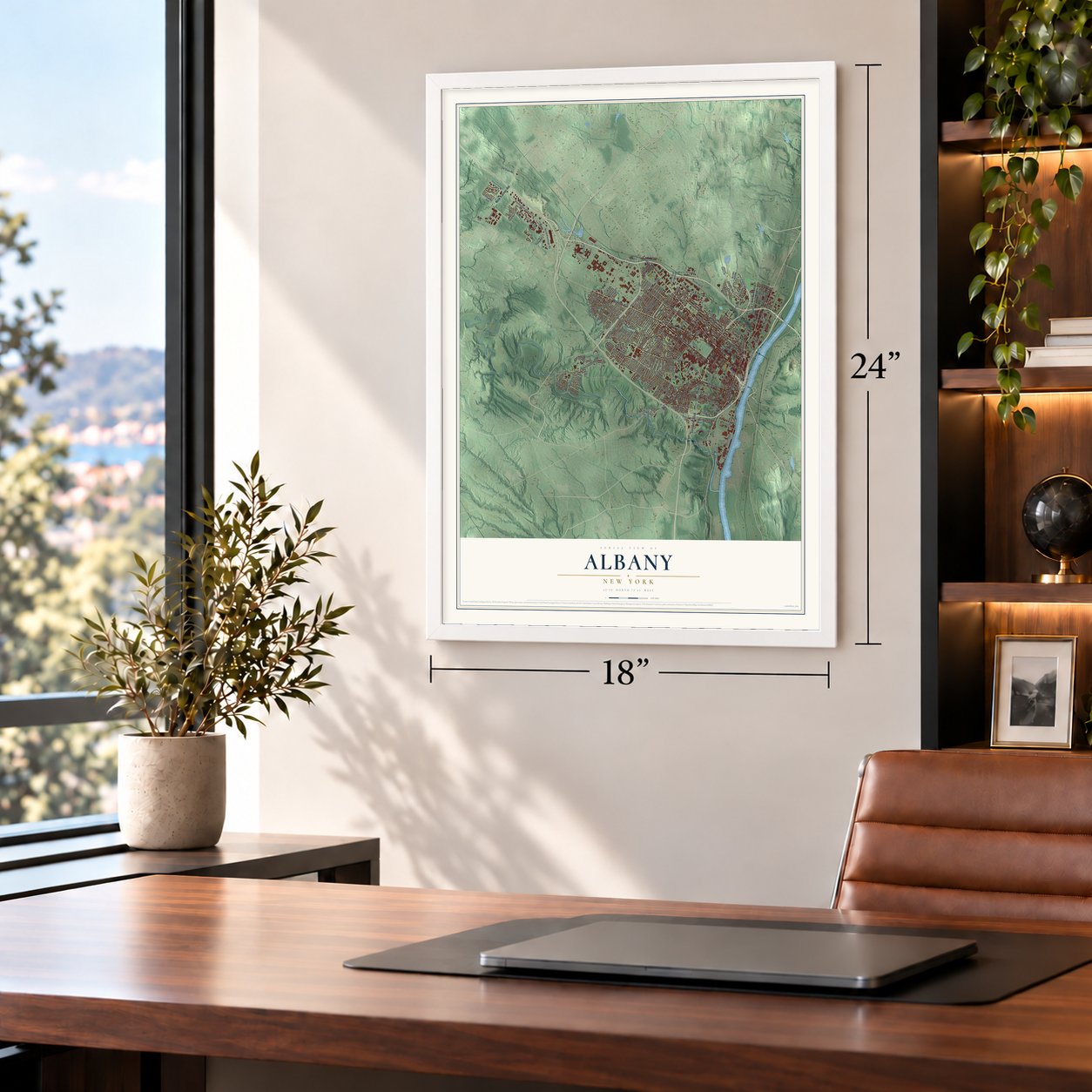
Three ways to hang it
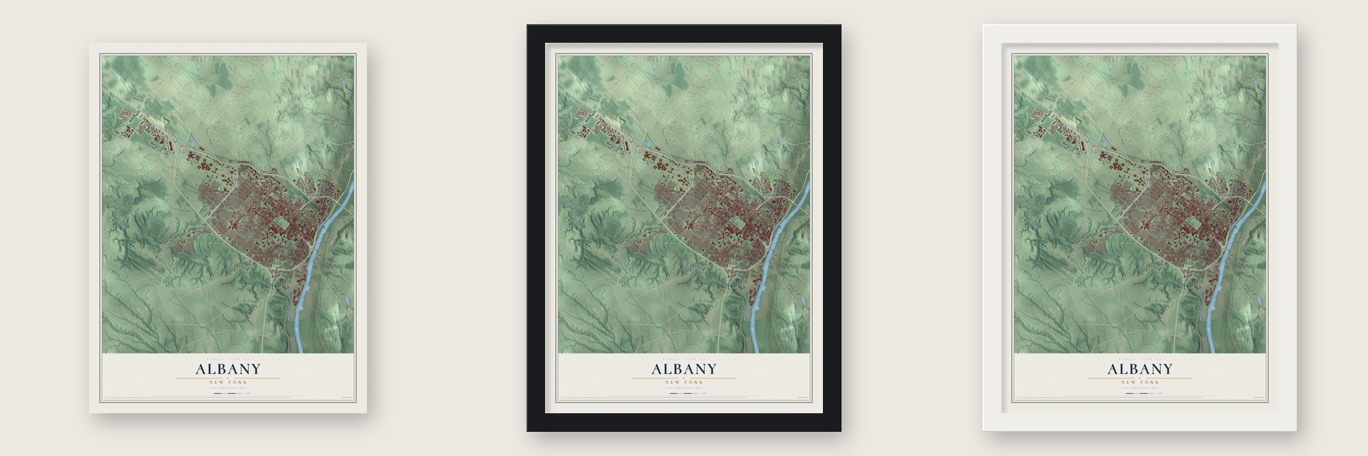
Unframed archival matte, a black wood frame or a white wood frame.
Up close
Geography Worth Displaying
This map was created using accurate cartographic data and authoritative geographic sources, including the U.S. Geological Survey (USGS) and FEMA. The map brings together terrain, waterways, roads, and building detail. The majority of the streets are labeled, houses are accurately depicted, and the topography is derived from government sources. Combining local data with carefully composed color and shading leads to this beautifully detailed Albany artwork for your wall.
Rather than simply showing street outlines, we’ve included as many of the street names as we could reasonably fit on the map while keeping their names legible. Zoom in on the high resolution preview to see exactly what’s on the map. We truly set out to create a statement piece for anyone who loves Albany. So whether it’s for you, or a gift for someone you love, we hope this map of Albany brings back fond memories.
Explore the full map of Albany, New York and read about the local places it shows.

About Albany, New York
Albany is the capital of New York and the seat of Albany County, a city of 99,224 people on the west bank of the Hudson River. Mohicans lived here first, and Henry Hudson reached the area in 1609 while sailing for the Dutch East India Company. In 1614 Hendrick Christiaensen put up Fort Nassau, a fur-trading post on Castle Island, and after a flood ruined it in 1618, the Dutch built Fort Orange on the mainland in 1624.
The settlement around the fort became the village of Beverwijck in 1652. When the English captured New Netherland in 1664, they renamed it Albany for Prince James, Duke of Albany, the future King James II. The Dutch took it back briefly in 1673 and called it Willemstadt, but the English returned for good in 1674. Governor Thomas Dongan chartered the city on July 22, 1686, when about 500 people lived there, and in 1797 it became the permanent state capital.
- The Albany Plan of 1754In 1754 delegates from seven British colonies met in Albany for the Albany Congress, holding their sessions at the Stadt Huys, which served as the city hall. Benjamin Franklin of Pennsylvania put forward the Albany Plan of Union there, the first formal proposal to join the colonies together. Parliament never adopted it, but it pointed the way toward the United States Constitution.
- Fulton's steamboat in 1807Robert Fulton started a steamboat line between New York City and Albany in 1807, the first business of its kind to succeed anywhere in the world. By 1810 Albany had 10,763 people and ranked as the nation's tenth-largest urban place.
- Where the Erie Canal endedThe Erie Canal opened in 1825 and linked the Great Lakes to New York City by water. Its first lock stood north of Colonie Street, and boats emptied into the Albany Basin, a 32-acre man-made lagoon. The basin served as the city's main port until 1932, when the new Port of Albany-Rensselaer took over.
- The first electric motorIn 1829, while teaching at the Albany Academy, Joseph Henry built the first electric motor. He went on to discover electromagnetic self-induction three years after that, and the unit for it is now called the henry. He later served as the Smithsonian Institution's first Secretary.
- Home of the New York CentralIn 1853 Erastus Corning, an industrialist who had been Albany's mayor from 1834 to 1837, merged ten railroads between Albany and Buffalo to form the New York Central Railroad. It was run from Albany until 1867, when Cornelius Vanderbilt shifted the headquarters to New York City.
Find your street
Names on the Albany map
Every name below is printed on this map. Look for your street, your school, the park where you played, or the pond down the road.
Places and landmarks5
- Karlsfeld
- Kenwood
- Normansville
- West Albany
- Capital Hills at Albany
Streets and roads202
- North Pearl Street
- South Pearl Street
- Madison Avenue
- Central Avenue
- Delaware Avenue
- Western Avenue
- Southern Boulevard
- New Karner Road
- Lark Street
- Clinton Avenue
- Washington Avenue
- Broadway
- Eagle Street
- Loudon Road
- State Street
- Northern Boulevard
- Robin Street
- Church Street
- Columbia Circle
- Normanskill Street
- Rapp Road
- Lincoln Avenue
- Washington Avenue Extension
- New Scotland Avenue
- Hackett Boulevard
- Myrtle Avenue
- South Main Avenue
- South Manning Boulevard
- Third Street
- Suny Campus Road
Show all 202 streets
- Livingston Avenue
- Whitehall Road
- Manning Boulevard
- Second Street
- Morris Street
- Ontario Street
- Park Avenue
- New Scotland Road
- Quail Street
- Erie Boulevard
- First Street
- Elk Street
- Second Avenue
- Shaker Road
- Partridge Street
- Green Street
- Orange Street
- Berkshire Boulevard
- Bradford Street
- Cortland Street
- Lark Drive
- Colonial Avenue
- Russell Road
- South Allen Street
- Lancaster Street
- North Frontage Road
- Tampa Avenue
- Krumkill Road
- Quay Street
- Colonie Street
- Morton Avenue
- Dove Street
- Euclid Avenue
- Brevator Street
- Paper Street
- Fuller Road
- McCarty Avenue
- Hillcrest Avenue
- Kent Street
- Smith Boulevard
- Frontage Road
- Ramsey Place
- Homestead Avenue
- Commerce Avenue
- Academy Road
- Cardinal Avenue
- Fairlawn Avenue
- Holland Avenue
- Mill Road
- Kenwood Road
- Clermont Street
- Tivoli Street
- McCormack Road
- Third Avenue
- Forest Avenue
- Hunter Avenue
- Jennings Drive
- Mountain Street
- Old State Road
- Keeler Drive
- West Erie Street
- Wood Terrace
- Oneil Road
- Collins Place
- Garden Street
- Briar Avenue
- Tudor Road
- Kelton Court
- Krank Street
- Van Rensselaer Boulevard
- Market Street
- South Swan Street
- Brookland Avenue
- Sherman Street
- Mercer Street
- Corporate Circle
- Everett Road Extended
- Davis Avenue
- Lenox Avenue
- Noonan Lane
- Mount Hope Drive
- Milner Avenue
- Anderson Drive
- Fleetwood Avenue
- Aspen Circle
- Normanskill Drive
- Rose Court
- Pitch Pine Road
- Colvin Avenue
- Woodside Drive
- Cambridge Road
- Hazelhurst Avenue
- Grove Avenue
- Dana Avenue
- Birch Hill Road
- Rosemary Drive
- Yardboro Avenue
- Erie Street
- Pinehurst Boulevard
- South Street
- Fairway Court
- Pine Lane
- Vatrano Road
- Tremont Street
- Hurst Avenue
- Beverly Avenue
- Hansen Avenue
- Ten Broeck Street
- Van Buren Avenue
- Leedale Street
- North Ferry Street
- Frisbee Avenue
- First Avenue
- Turner Place
- Chapel Street
- Liberty Street
- Grant Avenue
- Bohl Avenue
- Home Avenue
- Boenau Street
- Park Road
- View Avenue
- King Avenue
- Loudonville Road
- South Frontage Road
- Warren Street
- North Lake Avenue
- Meadow Lane
- Tricentenial Drive
- Madison Avenue Extended
- Prospect Street
- Mill Street
- Saint Agnes Lane
- Elm Street
- Beach Avenue
- Cuyler Avenue
- Swartson Court
- Albany Shaker Road
- Colatosti Place
- Arthur Drive
- Charles Boulevard
- Liebel Street
- Picotte Drive
- Barclay Street
- Irving Street
- North Street
- Park Street
- North Main Avenue
- Hollywood Avenue
- West Street
- Daytona Avenue
- Brookline Avenue
- Dongan Avenue
- Binghampton Street
- North Swan Street
- East Pitch Pine Road
- Holmes Court
- Hartman Road
- Notre Dame Drive
- Water Street
- Colby Street
- South Dove Street
- Mohican Place
- Marwill Street
- Road Street
- Harding Street
- Stanford Court
- Garden Avenue
- Renodin Drive
- Albion Avenue
- Alden Avenue
- Oak Street
Names are listed as they appear on the printed map. Zoom into the product photos to find them.
The art of mapping a place
How This Map Was Made
Real places. Remarkable detail. Discover the layers that turn geographic data into a map of home.

The view from above
Aerial imagery reveals the character of the land: woodland, open fields, and the patterns of a place.

The shape of the land
Elevation data brings hills, valleys, and subtle changes in the landscape into view.

The details of home
Roads, waterways, and building footprints come together to make the map feel unmistakably local.

Geography becomes art
Considered color, shading, and typography bring the layers together in a map made for your wall.


Process illustrated with Mendon, Massachusetts. Aerial imagery: USDA NAIP. Terrain: USGS 3D Elevation Program. Map details and finished artwork: KNOWOL.
The Details
About This Print
Choose an archival matte print, or a black or white Ayous wood frame. The archival matte print is unframed.
Select your size and finish above to see the matching product image and price.
Materials & Craftsmanship
A contemporary map with the character of a classic atlas, printed on archival matte paper. Optional frames are made from Ayous wood.
Your printed map does not include the watermark shown in the full-map preview.
Shipping & Delivery
Free shipping within the United States. Every print is made to order in the USA.
Buying a gift? Add a note in your cart and we'll include it. We never put prices in the package.
Prints ship within 2 to 3 business days. Allow 7 to 10 days total from ordering for delivery. Timing may vary during holidays or periods of high order volume.
Read our shipping policy.
Returns and damaged prints
Each print is made to order. Change-of-mind refunds are not available after production.
If your print arrives damaged, misprinted or incorrect, contact support@knowol.com within 30 days of receiving it. Include your order number, photos and a description of the issue.
Read our full refund and replacement policy. For questions about your order, email support@knowol.com.
Find your town
Looking for another city?
Find a map of home in our New York collection, or any town in the country.
Nearby
Maps of towns near Albany
Know someone from one of these towns? Their map makes a great gift.
 Roessleville
, New York
From $39.99See the map
 Loudonville
, New York
From $39.99See the map
 Rensselaer
, New York
From $39.99See the map
More maps nearby: Menands, Westmere, Village of Colonie, Slingerlands and Siena College.