
Search for another town




Free U.S. delivery 7 to 10 days after you order
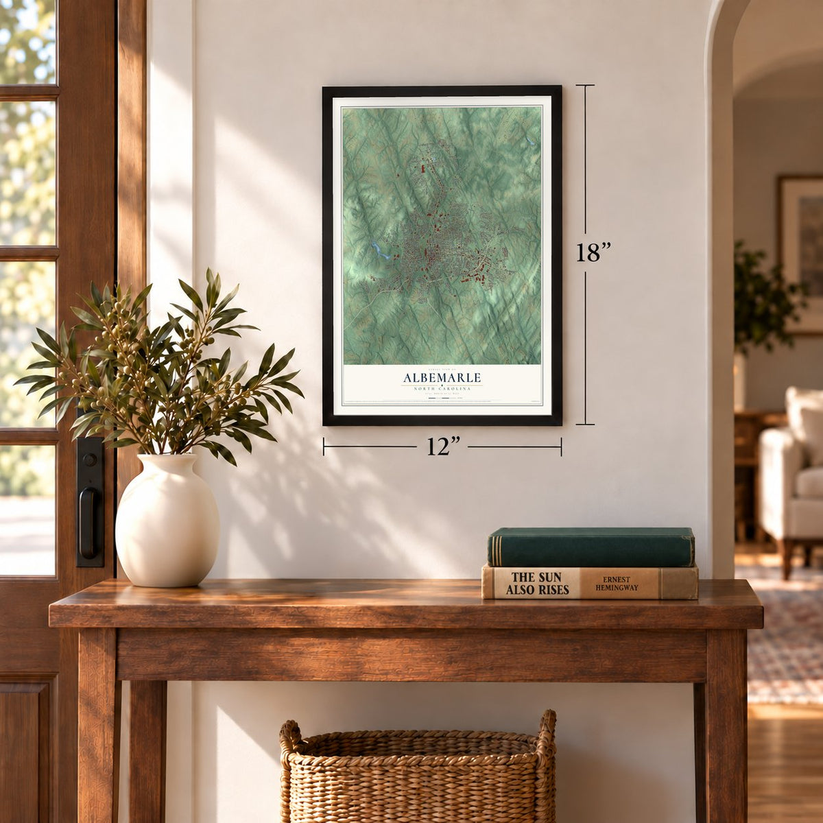
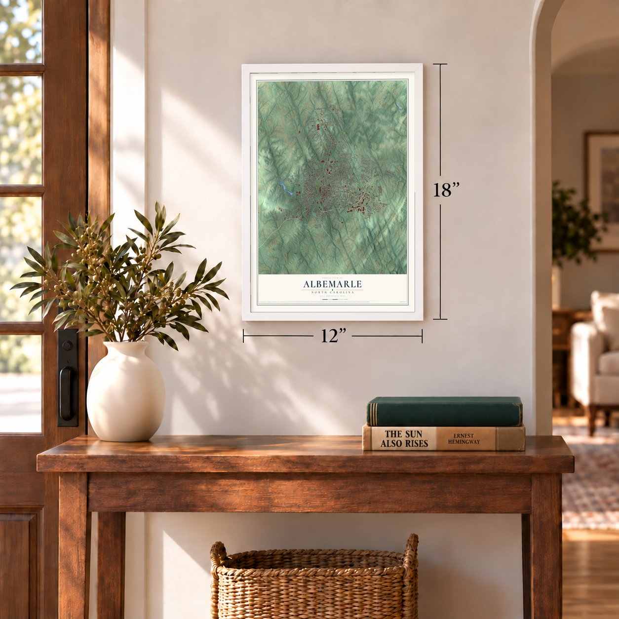
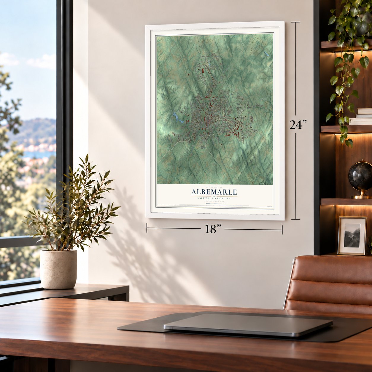
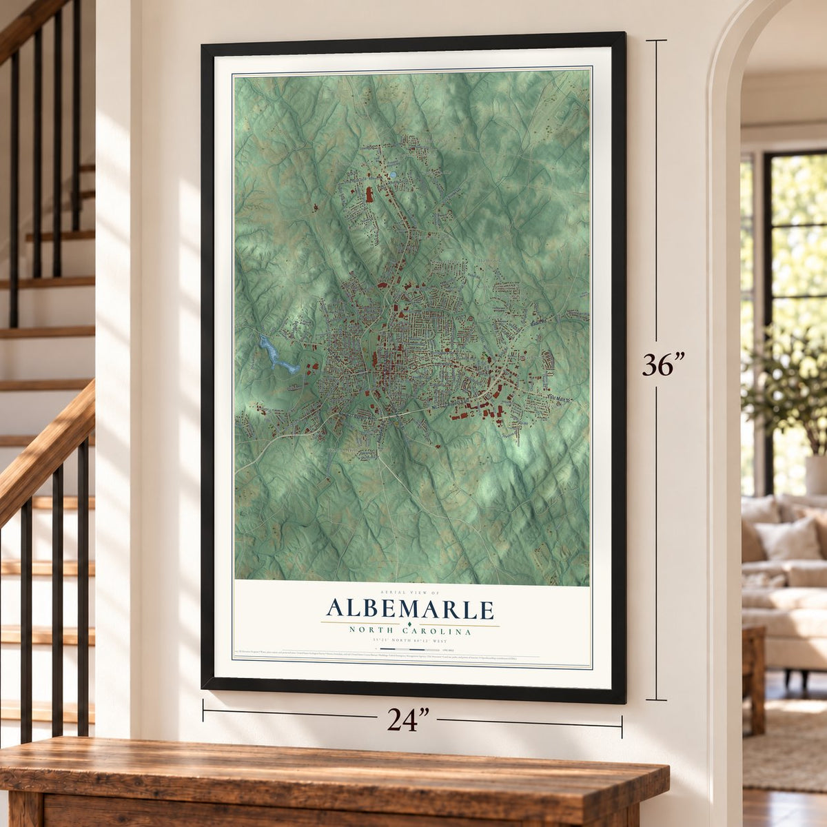
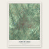
Albemarle, North Carolina Map Art
Building by building, with labeled streets and shaded relief.
12" x 18" Archival Matte Print
A Map of Home. A Work of Art.
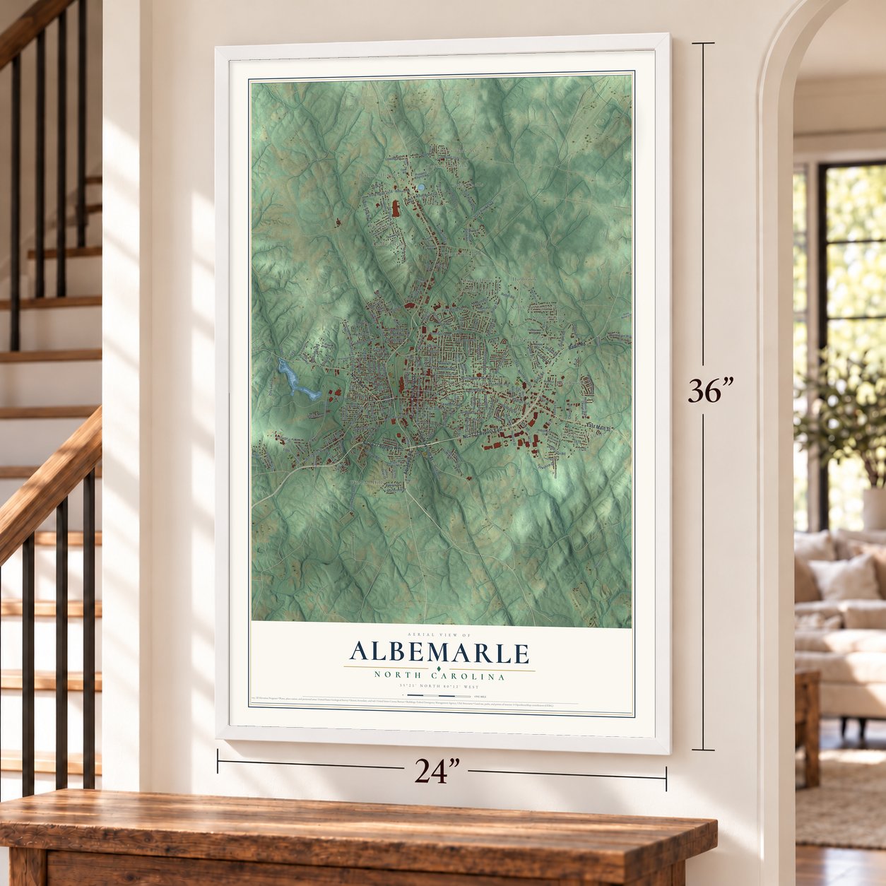
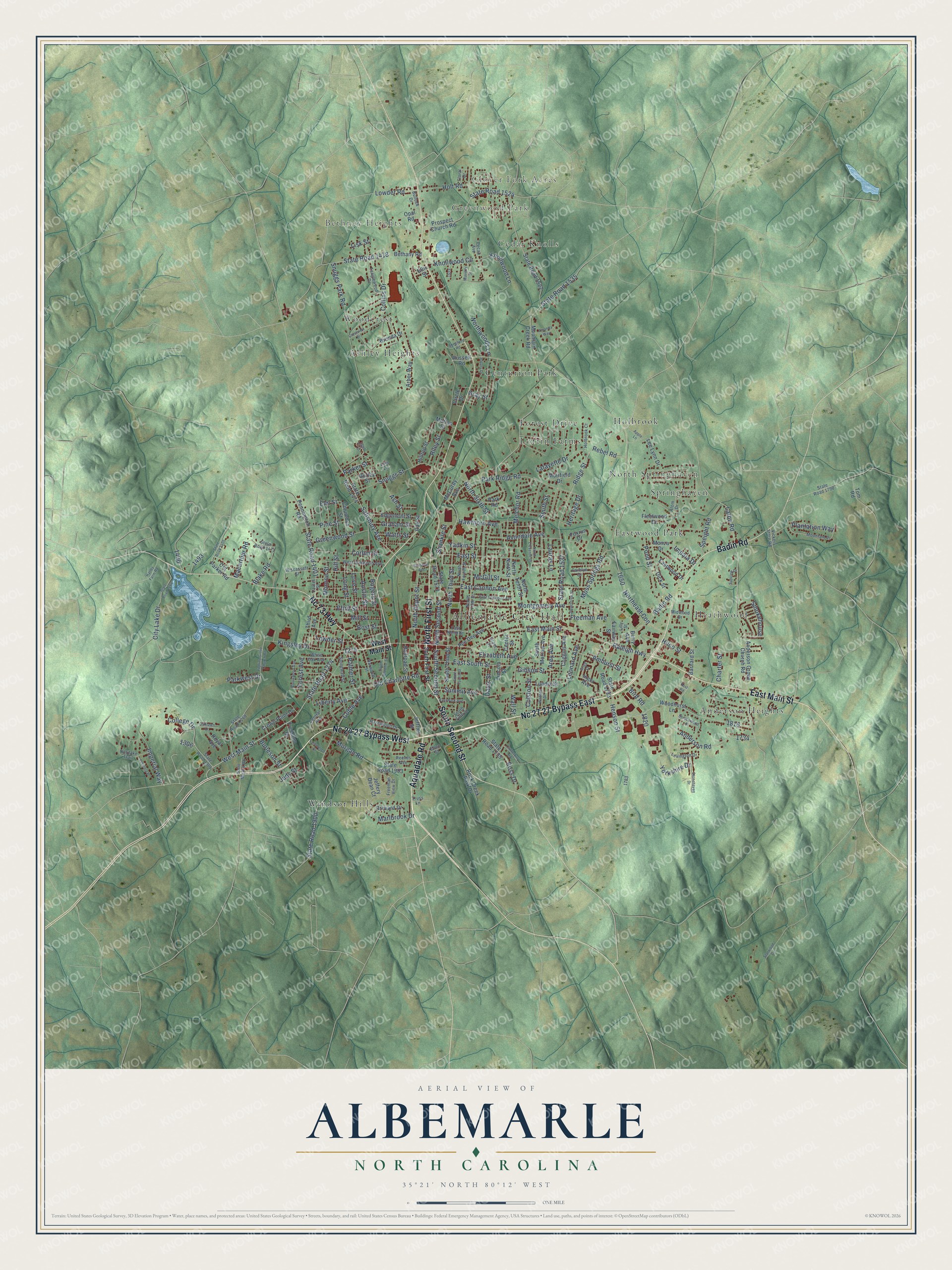
Explore Albemarle, North Carolina from a whole new perspective. Created using aerial imagery and detailed geographic data, this map captures Albemarle building by building, with labeled streets, familiar landmarks, and shaded topographical relief that highlights the natural contours of the landscape.
Combining modern data with the timeless character of a vintage atlas, this map is just as interesting up close as it is beautiful on the wall. Whether you grew up in Albemarle, spent memorable years there, or call it home today, this unique map is a great way to celebrate a place that means something to you. Zoom in on the preview to look for your street, and then order a print to put your memories on the wall.
Three ways to hang it
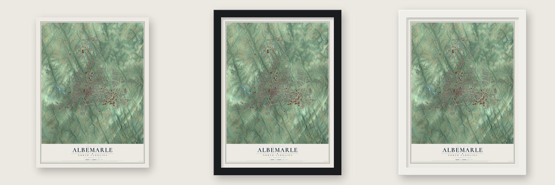
Unframed archival matte, a black wood frame or a white wood frame.
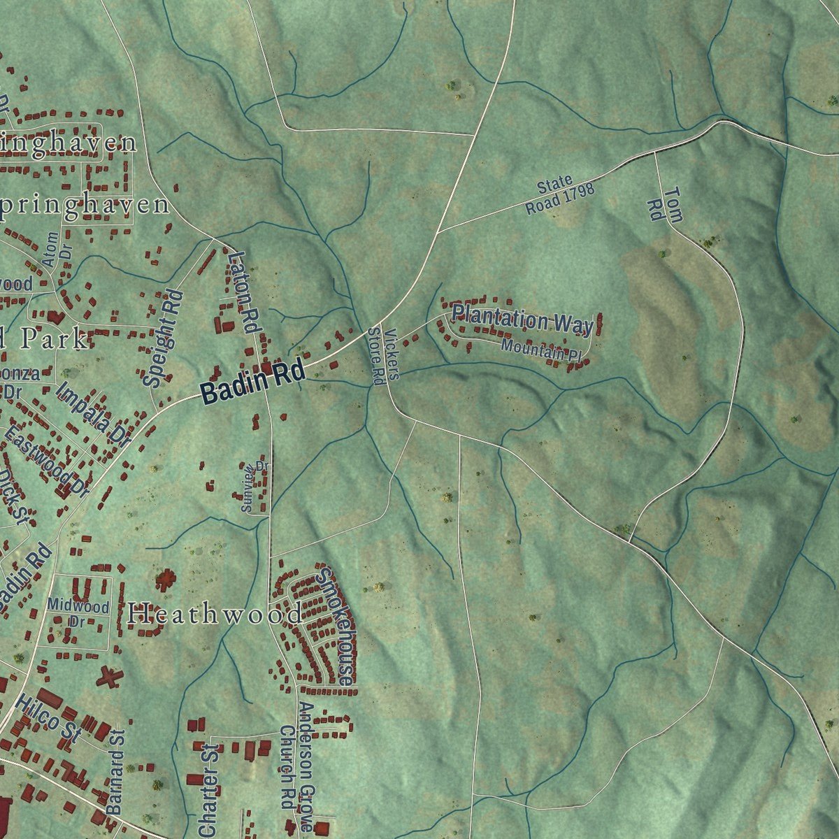
Up close
Geography Worth Displaying
This map was created using accurate cartographic data and authoritative geographic sources, including the U.S. Geological Survey and the Census Bureau. The map brings together terrain, waterways, roads, and building detail. The majority of the streets are labeled, houses are accurately depicted, and the topography is derived from government sources. Combining local data with carefully composed color and shading leads to this beautifully detailed Albemarle artwork for your wall.
Rather than simply showing street outlines, we’ve included as many of the street names as we could reasonably fit on the map while keeping their names legible. Zoom in on the high resolution preview to see exactly what’s on the map. We truly set out to create a statement piece for anyone who loves Albemarle. So whether it’s for you, or a gift for someone you love, we hope this map of Albemarle brings back fond memories.
Read the story behind this map of Albemarle, North Carolina from 2026.
Find your street
Names on the Albemarle map
Every name below is printed on this map. Look for your street, your school, the park where you played, or the pond down the road.
Places and landmarks17
- Albemarle City Hall
- Clover Fork Acres
- Greenwood Park
- Bethney Heights
- Anderson Heights
- Ashley Heights
- Cedar Knolls
- Centurion Park
- Eastwood Park
- Forest Drive
- Heathwood
- Holbrook
Show all 17 places
- Loftin Farms
- North Springhaven
- Springhaven
- Windsor Hills
- Woodcrest
Streets and roads233
- Nc 24 27 Bypass West
- Nc 27 27 Bypass East
- Aquadale Road
- North First Street
- Nc 73 Highway
- East Main Street
- Badin Road
- South Second Street
- West Main Street
- State Road 1274
- North Second Street
- Raleigh Highway
- Summit Avenue
- State Road 1537
- North Third Street
- Freeman Avenue
- Shankle Street
- State Road 1524
- Yadkin Street
- East Street
- Colston Street
- Northeast Con
- State Road 1535
- State Road 1900
- Ridge Street
- Snuggs Park Road
- Anderson Road
- Moss Springs Road
- Montgomery Avenue
- Salisbury Avenue
Show all 233 streets
- North Sixth Street
- Coble Avenue
- Park Ridge Road
- State Road 1418
- East Cannon Avenue
- Old Charlotte Road
- Knollwood Circle
- Riley Street
- Smith Street
- Love Street
- College Drive
- Austin Street
- Leonard Avenue
- State Road 1401
- City Lake Drive
- Long Street
- East South Street
- Laton Road
- Snuggs Street
- Morgan Road
- Hill Street
- Monroe Street
- North Depot Street
- Collins Drive
- Yorkshire Drive
- Arey Avenue
- Lowder Street
- Henson Street
- Kingsley Drive
- Avondale Avenue
- Ash Street
- Corbin Street
- Ross Drive
- Melchor Road
- Knollwood Lane
- Blake Road
- Plantation Way
- Amhurst Street
- Smokehouse
- Efird Street
- Pond Street
- Imperial Way
- Greenwood Street
- Hawthorn Avenue
- Lafayette Drive
- Burleson Street
- Charter Street
- McGill Street
- Speight Road
- Marlbrook Drive
- Graham Street
- Macarthur Road
- Wall Street
- Holt Road
- Mill Street
- Impala Drive
- Liberty Avenue
- Northwoods Lane
- Judy Street
- Lowder Road
- Elizabeth Avenue
- Palmer Street
- Lauras Lane
- Pine Street
- Bost Street
- Parkwest Drive
- Rebel Road
- Watts Street
- Gibson Street
- Rogers Street
- Hilco Street
- Bird Road
- Heritage Drive
- Davis Street
- Forest Avenue
- Parker Street
- Gray Street
- Lisk Street
- Elm Street
- State Road 1573
- Prospect Church Road
- Fairway Street
- Mountain Creek Road
- Anderson Grove Church Road
- Woodhurst Lane
- State Road 1474
- State Road 1522
- Pee Dee Avenue
- Bethany Road
- State Road 1903
- Pennington Road
- State Road 1783
- North Tenth Street
- North Ninth Street
- State Road 1735
- Arbor Way
- Rock Creek Park Drive
- Lee Lynn Drive
- Dick Street
- South Third Street
- Edgemont Street
- Old Parker Road
- Eastwood Drive
- Hilltop Street
- Freedom Drive
- Park Road
- Lundix Street
- Brevard Drive
- South Morrow Avenue
- Crown Point Drive
- Coggins Avenue
- Brenda Drive
- Columbus Street
- Center Street
- Railroad Street
- Circle Drive
- Inger Avenue
- Monza Drive
- Fleetwood Drive
- Foxrun Drive
- McCurdy Avenue
- Barnard Street
- Opal Road
- Royal Avenue
- Berry Avenue
- Jeffery Dean Court
- Muirfield Drive
- Third Avenue
- Lincoln Street
- Jeffries Street
- Russell Road
- Morton Street
- Gurley Street
- Oak Street
- Ellis Street
- Tom Road
- South First Street
- Hazelwood Drive
- North Fifth Street
- North Fourth Street
- Wiscassett Street
- West Oakwood Avenue
- State Road 1268
- State Road 1306
- State Road 1471
- Freeman View Drive
- Mountain Place
- Noritake Trail
- South Fifth Street
- Saint Martin Road
- Central Avenue
- Harwood Street
- Tanglewood Drive
- Reeves Avenue
- White Oak Avenue
- Laurel Street
- East North Street
- Stonewall Street
- Holbrook Court
- Lexington Drive
- State Road 1798
- Atom Drive
- Bullock Drive
- Carolyn Drive
- Lois Lane
- Eben Street
- Midwood Drive
- Grant Street
- Pecan Avenue
- Vickers Store Road
- Floral Drive
- Lilly Street
- Truss Lane
- East Park Avenue
- Lefler Street
- Poplins Grove Church Road
- State Road 1266
- South Fourth Street
- Crestview Drive
- State Road 1405
- Stonehaven Drive
- East Oakwood Avenue
- North Eleventh Street
- South Broome Street
- Canterbury Road
- Peachtree Street
- Chestnut Avenue
- Amanda Way
- Sunview Drive
- Brookwood Avenue
- Waddell Drive
- Fostoria Place
- Waverly Street
- Shepherd Road
- Grigg Street
- Sprucewood Street
- Commerce Street
- Oaklawn Court
- Apple Lane
- Rotary Drive
- Starwood Drive
- Hatley Farm Road
- Post Road
Names are listed as they appear on the printed map. Zoom into the product photos to find them.
About Albemarle, North Carolina
Albemarle is a city of 16,432 people and the county seat of Stanly County. Its first post office opened in 1826 under the name Smith's Store. It stood near the spot where the Old Turnpike Road from Fayetteville to Salisbury met the Old Stage Road between Charlotte and Raleigh, and that crossing grew into a busy center of trade.
For years, people living west of the Yadkin and Pee Dee rivers tried to break away from Montgomery County, and in 1841 the General Assembly created Stanly County for them. The county seat had to sit no more than eight miles from the home of Sheriff Eben Hearne. The heirs of Nehemiah Hearne gave 51 acres of his plantation near the crossroads. The commissioners laid out streets and lots, then sold the first lots to pay for public buildings. A courthouse went up in 1842 and served for 50 years, and the town was incorporated in 1857.
- Named for a dukeThe town took its name from Albemarle County, the first county in North Carolina. That county honored George Monck, Duke of Albemarle, one of the Lords Proprietors who received Carolina from King Charles II in 1663.
- A mill town from 1896Cotton farming and a brief gold rush in the Uwharrie Mountains gave way to textiles in 1896, when the Efird Manufacturing Co. opened its first mill here. That company later became American and Efird Mills. Wiscassett Mills, the Cannon Mill Company and the Lillian Knitting Mill came soon after. In 1899 Wiscassett founded Cabarrus Bank and Trust, the town's first bank, and it gave the land where Stanly County Memorial Hospital opened its doors in 1950.
- Two railroadsIn 1891 the Yadkin Railroad started running trains between Salisbury and Albemarle. Twenty years later, in 1911, the Winston-Salem Southbound Railway laid its own line through town to serve the mills, and over time the Yadkin line went out of use. Passenger trains stopped coming in 1933, but freight still runs, and the restored Old Market Street Station now holds a farmers market.
- The oldest house in townThe Freeman-Marks House, probably built in the 1820s, is the oldest known house still standing in Albemarle. The antebellum Isaiah W. "Buck" Snuggs House on Third Street belonged to a Stanly County sheriff who lost his leg at the Battle of Spotsylvania Court House in the Civil War. Both joined the National Register in 1995.
- A Main Street City in 1993The National Trust for Historic Preservation named Albemarle a National Main Street City in 1993. Its National Register places include the Opera House-Starnes Jewelers Building of 1908, Albemarle Graded School-Central Elementary School, the Thomas Marcellus Denning House, the Julius Clegg Hall House and Grounds, and the Downtown Albemarle, Five Points and Second Street historic districts.
Keep exploring North Carolina
Albemarle is one of 947 North Carolina towns we've mapped. Every dot on the map is a print of its own.
The search covers every state, North Carolina first.
Near Albemarle
Order 2 or more town maps and save 10%. Shown in the size and finish you picked above, so they hang as a set.
- Badin 12" x 18" / Archival Matte Print $39.99
- New London 12" x 18" / Archival Matte Print $39.99
- Endy 12" x 18" / Archival Matte Print $39.99



More maps nearby: Millingport, Richfield, Aquadale, Norwood and Misenheimer.
The art of mapping a place
How This Map Was Made
Real places. Remarkable detail. Discover the layers that turn geographic data into a map of home.

The view from above
Aerial imagery reveals the character of the land: woodland, open fields, and the patterns of a place.

The shape of the land
Elevation data brings hills, valleys, and subtle changes in the landscape into view.

The details of home
Roads, waterways, and building footprints come together to make the map feel unmistakably local.

Geography becomes art
Considered color, shading, and typography bring the layers together in a map made for your wall.


Process illustrated with Mendon, Massachusetts. Aerial imagery: USDA NAIP. Terrain: USGS 3D Elevation Program. Map details and finished artwork: KNOWOL.
The Details
About This Print
Choose an archival matte print, or a black or white Ayous wood frame. The archival matte print is unframed.
Select your size and finish above to see the matching product image and price.
Materials & Craftsmanship
A contemporary map with the character of a classic atlas, printed on archival matte paper. Optional frames are made from Ayous wood.
Your printed map does not include the watermark shown in the full-map preview.
Shipping & Delivery
Free shipping within the United States. Every print is made to order in the USA.
Buying a gift? Add a note in your cart and we'll include it. We never put prices in the package.
Prints ship within 2 to 3 business days. Allow 7 to 10 days total from ordering for delivery. Timing may vary during holidays or periods of high order volume.
Read our shipping policy.
Returns and damaged prints
Each print is made to order. Change-of-mind refunds are not available after production.
If your print arrives damaged, misprinted or incorrect, contact support@knowol.com within 30 days of receiving it. Include your order number, photos and a description of the issue.
Read our full refund and replacement policy. For questions about your order, email support@knowol.com.