
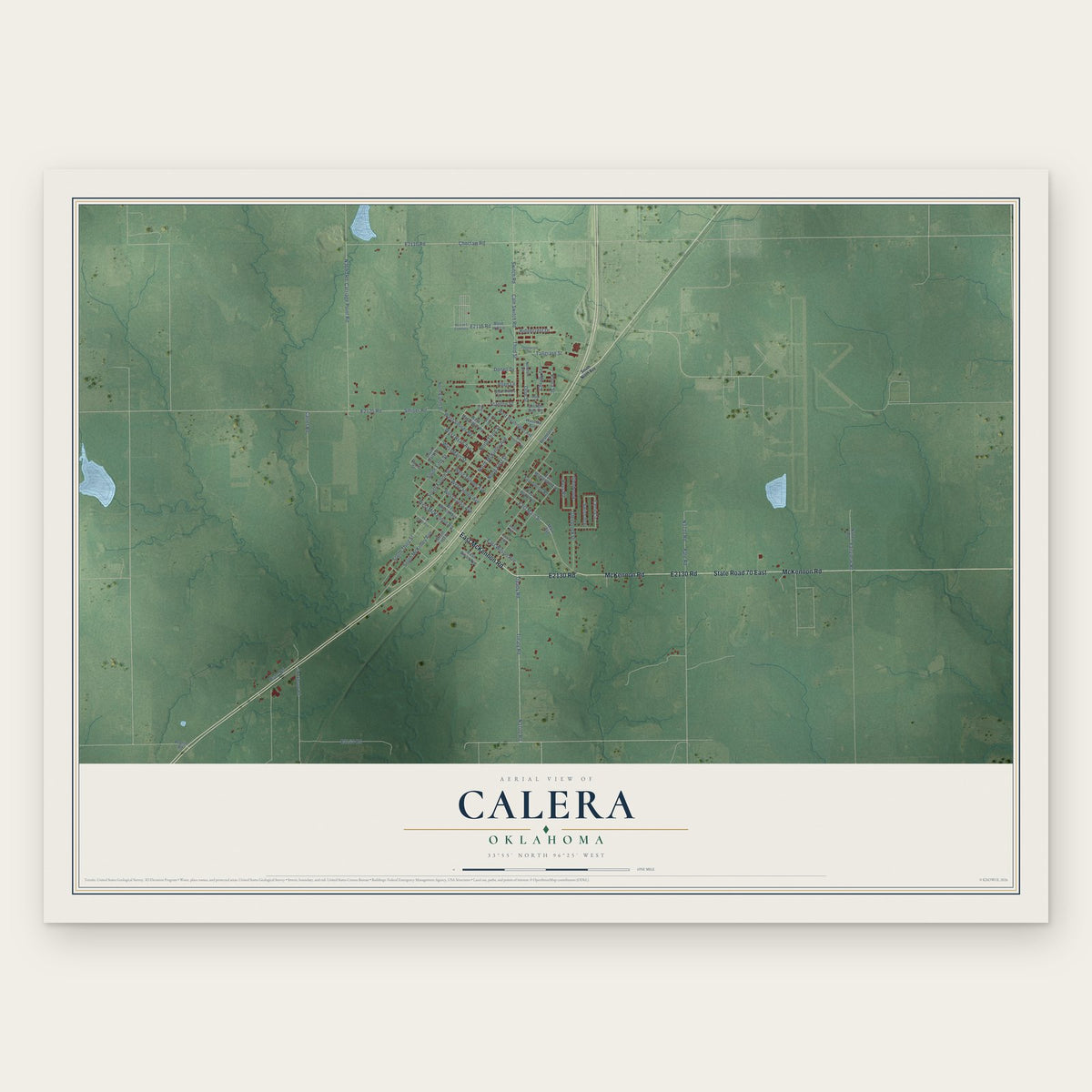


Search for another town


Free U.S. delivery 7 to 10 days after you order
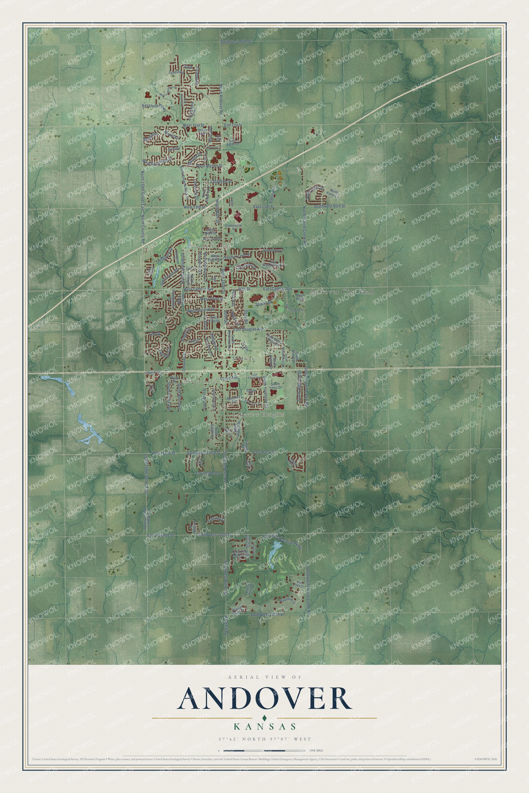
Andover, Kansas Map Art
Building by building, with labeled streets and shaded relief.
12" x 18" Archival Matte Print
A Map of Home. A Work of Art.
Explore Andover, Kansas from a whole new perspective. Created using aerial imagery and detailed geographic data, this map captures Andover building by building, with labeled streets, familiar landmarks, and shaded topographical relief that highlights the natural contours of the landscape.
Combining modern data with the timeless character of a vintage atlas, this map is just as interesting up close as it is beautiful on the wall. Whether you grew up in Andover, spent memorable years there, or call it home today, this unique map is a great way to celebrate a place that means something to you. Zoom in on the preview to look for your street, and then order a print to put your memories on the wall.
Three ways to hang it

Unframed archival matte, a black wood frame or a white wood frame.
Up close
Geography Worth Displaying
This map was created using accurate cartographic data and authoritative geographic sources, including the U.S. Geological Survey and the Census Bureau. The map brings together terrain, waterways, roads, and building detail. The majority of the streets are labeled, houses are accurately depicted, and the topography is derived from government sources. Combining local data with carefully composed color and shading leads to this beautifully detailed Andover artwork for your wall.
Rather than simply showing street outlines, we’ve included as many of the street names as we could reasonably fit on the map while keeping their names legible. Zoom in on the high resolution preview to see exactly what’s on the map. We truly set out to create a statement piece for anyone who loves Andover. So whether it’s for you, or a gift for someone you love, we hope this map of Andover brings back fond memories.
Read the story behind this map of Andover, Kansas from 2026.

Find your street
Names on the Andover map
Every name below is printed on this map. Look for your street, your school, the park where you played, or the pond down the road.
Places and landmarks5
- Andover City Hall
- Prairie Village
- Lakeview Heights
- Mecca Acres
- Midway
Streets and roads133
- South 160th Street
- North Lakeside Drive
- East Harry Street
- 90th Street
- East Central Avenue
- West 21st Street
- South Andover Road
- Southwest 110th Street
- West Harry Street
- West Second Street
- North Andover Road
- Flint Hills National Parkway
- West Central Avenue
- Cloud Avenue
- Lafayette Street
- North Aster Street
- North 159th Street East
- North County Road
- Southwest 80th Street
- South 159th Street East
- East Pawnee Street
- Southwest 120th Street
- East 13th Street
- Rosehill Road
- Southwest Butler Road
- North Prairie Creek Road
- Southwest 130th Street
- Southwest Prairie Creek Road
- West 13th Street
- Southwest 60th Street
Show all 133 streets
- South Prairie Creek Road
- North Main Street
- East Douglas Avenue
- Keystone Parkway
- Fieldstone
- West Basswood Street
- Jaguar Drive
- West Third Street
- Lioba Drive
- South Highland Drive
- West Allison Street
- Prosperity Lane
- Shay Road
- South Ruth Avenue
- Lakeside Drive
- South Yorktown Street
- Village Road
- Terradyne Drive
- Cavalcade Lane
- Patrica Lane
- Fairway Circle
- South Verna Avenue
- Glendevon Road
- Putter Drive
- Marc Avenue
- Lakecrest Drive
- Tuscany Court
- Sumac
- Marsha Drive
- Elm Street
- Porth Avenue
- Slate
- Susan Lane
- Browning
- Mountain
- John Drive
- East 21st Street
- South Aldrich Drive
- North Lakeside
- Southwest County Line Road
- Woodstone Drive
- Cornerstone Parkway
- Sandstone
- North Shadow Rock Drive
- Logan Pass
- Prairie Point Drive
- South Gingko Lane
- Crescent Lakes Drive
- South Allen Street
- North Phillip Street
- South Ymca Drive
- East Pine Meadow Court
- North Broadview Lane
- Onewood Drive
- North Glancey Street
- South Daisy Lane
- South Westview Road
- Greenvalley Drive
- South Archer Drive
- East Waterview Drive
- East Betsy Ross Drive
- South Brown Drive
- Bluestem Court
- Commerce Street
- West Mike Street
- Minneha Avenue
- Grace Avenue
- Shade Street
- West Eighth Street
- East Aaron Drive
- West First Street
- Prairie Point Court
- Bush Parkway
- Sunset Drive
- Timothy Road
- North Aster Circle
- Vintage Drive
- Clyde Street
- Ira Court
- South McCandless Road
- Williamsburg Street
- Ellen Lane
- Aspen Creek Drive
- Bramerton Street
- Terry Lane
- West Tenth Street
- Flint Hills National Drive
- East Cloud Avenue
- Ledgerwood Drive
- 18th Fairway
- Onewood Circle
- Blue Sage Court
- Lavern Street
- Joye Street
- West Ledgestone Street
- North Yorktown Road
- East Minneha Avenue
- North Silverdale Street
- Lantern Lane Court
- East Hamlin Road
- Plumthicket Court
- Pineview Drive
- Wren Field Drive
Names are listed as they appear on the printed map. Zoom into the product photos to find them.
About Andover, Kansas
Andover is a city of 14,892 people in Butler County, just east of Wichita, and it is the largest city in the county. Vincent Smith became the first Euro-American settler in Bruno Township when he reached Dry Creek in February 1869. More settlers came in the spring of 1870 and soon claimed all the land. G. M. Pattison homesteaded the ground where the town would stand, and he got title to it in August 1872.
The township issued $18,000 in bonds to bring the Frisco Railway through, and the line was finished in 1880. That year Charles Glancey laid out a townsite on 40 acres and named it Cloud City, after a railroad engineer who helped build the line. Mr. Cloud then fell out with the people living there, so on June 7, 1880, the town took the name Andover, after Andover, Massachusetts. By 1883 about 150 people lived there.
- A depot robbery in 1898On July 17, 1898, at 10:00 P.M., two bandits forced depot agent S.B. McClaren to flag down a train. He escaped and raced to the Methodist church, where an ice cream social was underway, to raise the alarm. Will Belford, 28, was shot trying to stop the robbers and died five weeks later. The pair were caught in Maize on August 12. Sam Smith was hanged for murder, and Thomas Wind returned to prison.
- Mayor by one voteFor decades Andover was a small unincorporated town in the middle of farm fields. It became a third class city on February 4, 1957, with 166 people. When the new city first went to the polls, on April 2, 1957, Hugo Epp beat Charles Clay for mayor by a single vote. The first Greater Andover Days celebration followed in 1967, and an annexation in 1968 grew the city from 500 people to 2,000.
- The 1991 F5 tornadoOn April 26, 1991, an F5 tornado nearly half a mile wide, with winds over 260 mph, hit Andover harder than anywhere else on its path. It killed 13 people and left a third of the town's 4,300 residents homeless. The storm destroyed more than 300 homes, 10 businesses and two churches, and it flattened the Golden Spur Mobile Home Park and St. Vincent De Paul Catholic Church.
- First graduates in 1914In 1882 the Richland schoolhouse was moved into town for $2,000 and became Andover's first school, with Professor Haskin as principal and 86 students. A consolidated school, formed from four districts, opened in the fall of 1909. Its first graduating class, in 1914, had four students: Ola Peacock, Josie Boyer, Perry Hiskin and Virgil Grier.
Keep exploring Kansas
Andover is one of 764 Kansas towns we've mapped. Every dot on the map is a print of its own.
The search covers every state, Kansas first.
Near Andover
Order 2 or more town maps and save 10%. Shown in the size and finish you picked above, so they hang as a set.
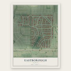
- Eastborough 12" x 18" / Archival Matte Print $39.99
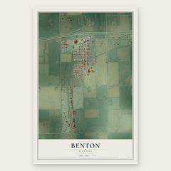
- Benton 12" x 18" / Archival Matte Print $39.99
- Greenwich 12" x 18" / Archival Matte Print $39.99

More maps nearby: McConnell AFB, Rose Hill, Bel Aire, Augusta and Kechi.
The art of mapping a place
How This Map Was Made
Real places. Remarkable detail. Discover the layers that turn geographic data into a map of home.

The view from above
Aerial imagery reveals the character of the land: woodland, open fields, and the patterns of a place.

The shape of the land
Elevation data brings hills, valleys, and subtle changes in the landscape into view.

The details of home
Roads, waterways, and building footprints come together to make the map feel unmistakably local.

Geography becomes art
Considered color, shading, and typography bring the layers together in a map made for your wall.


Process illustrated with Mendon, Massachusetts. Aerial imagery: USDA NAIP. Terrain: USGS 3D Elevation Program. Map details and finished artwork: KNOWOL.
The Details
About This Print
Choose an archival matte print, or a black or white Ayous wood frame. The archival matte print is unframed.
Select your size and finish above to see the matching product image and price.
Materials & Craftsmanship
A contemporary map with the character of a classic atlas, printed on archival matte paper. Optional frames are made from Ayous wood.
Your printed map does not include the watermark shown in the full-map preview.
Shipping & Delivery
Free shipping within the United States. Every print is made to order in the USA.
Buying a gift? Add a note in your cart and we'll include it. We never put prices in the package.
Prints ship within 2 to 3 business days. Allow 7 to 10 days total from ordering for delivery. Timing may vary during holidays or periods of high order volume.
Read our shipping policy.
Returns and damaged prints
Each print is made to order. Change-of-mind refunds are not available after production.
If your print arrives damaged, misprinted or incorrect, contact support@knowol.com within 30 days of receiving it. Include your order number, photos and a description of the issue.
Read our full refund and replacement policy. For questions about your order, email support@knowol.com.