
Search for another town



Free U.S. delivery 7 to 10 days after you order
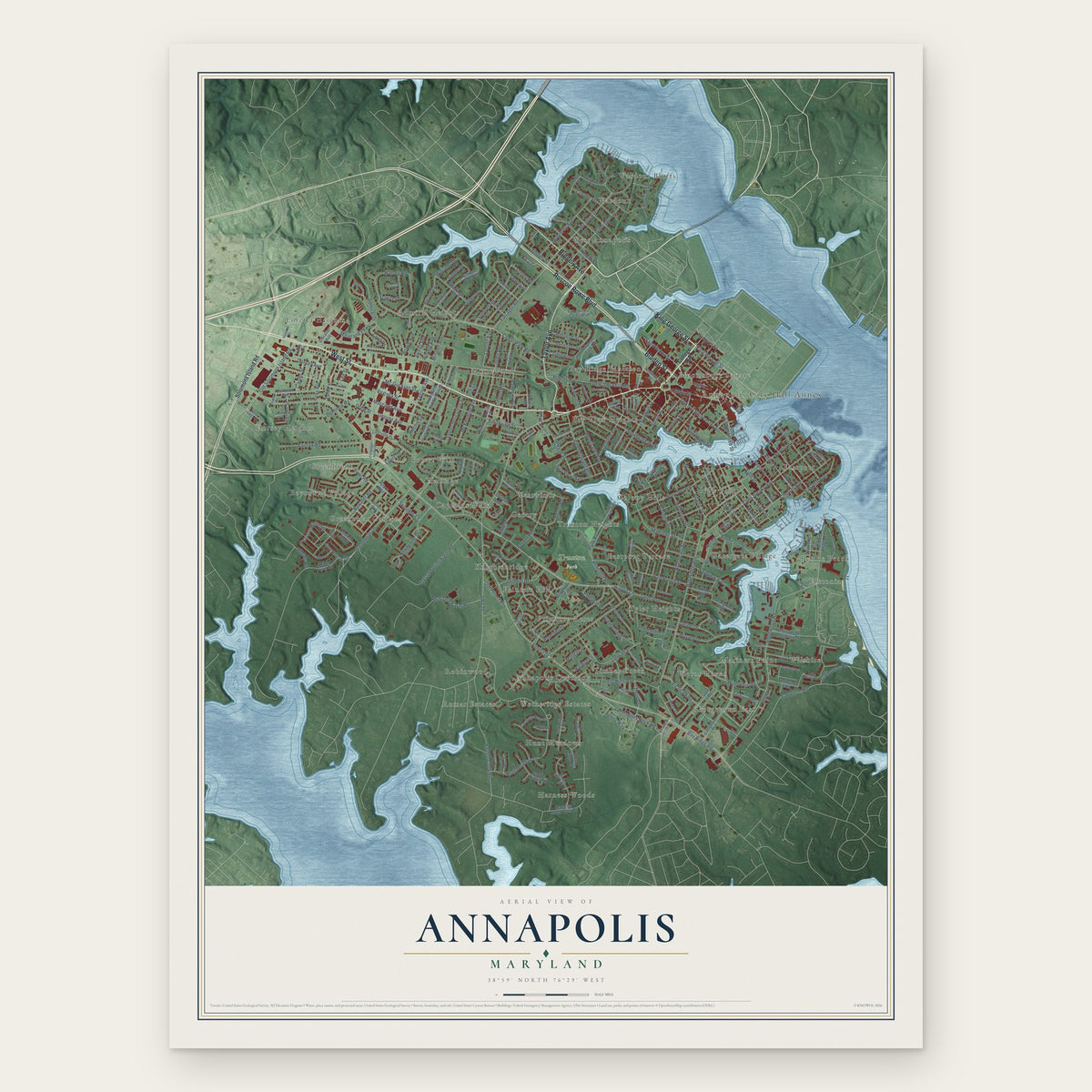
Annapolis, Maryland Map Art
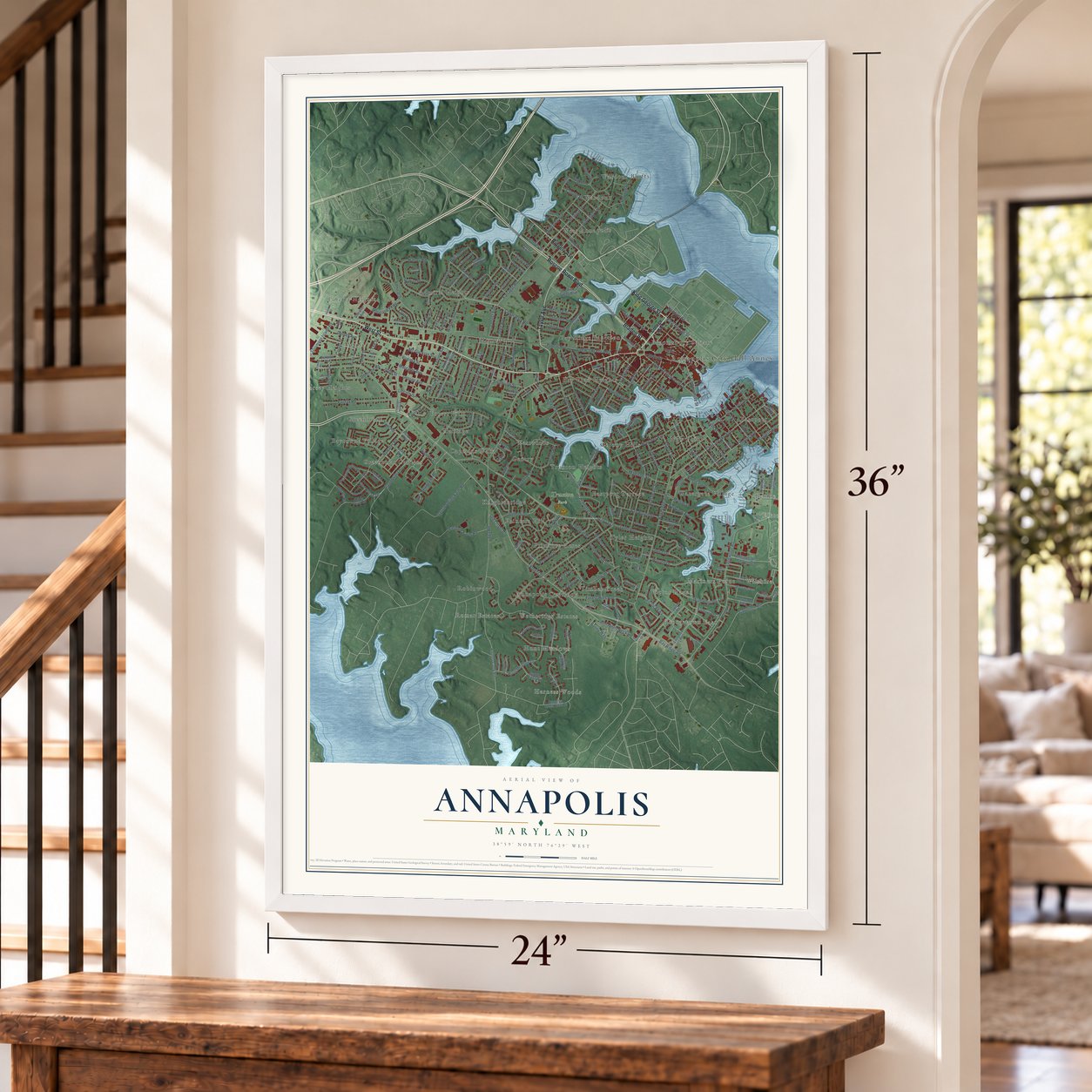
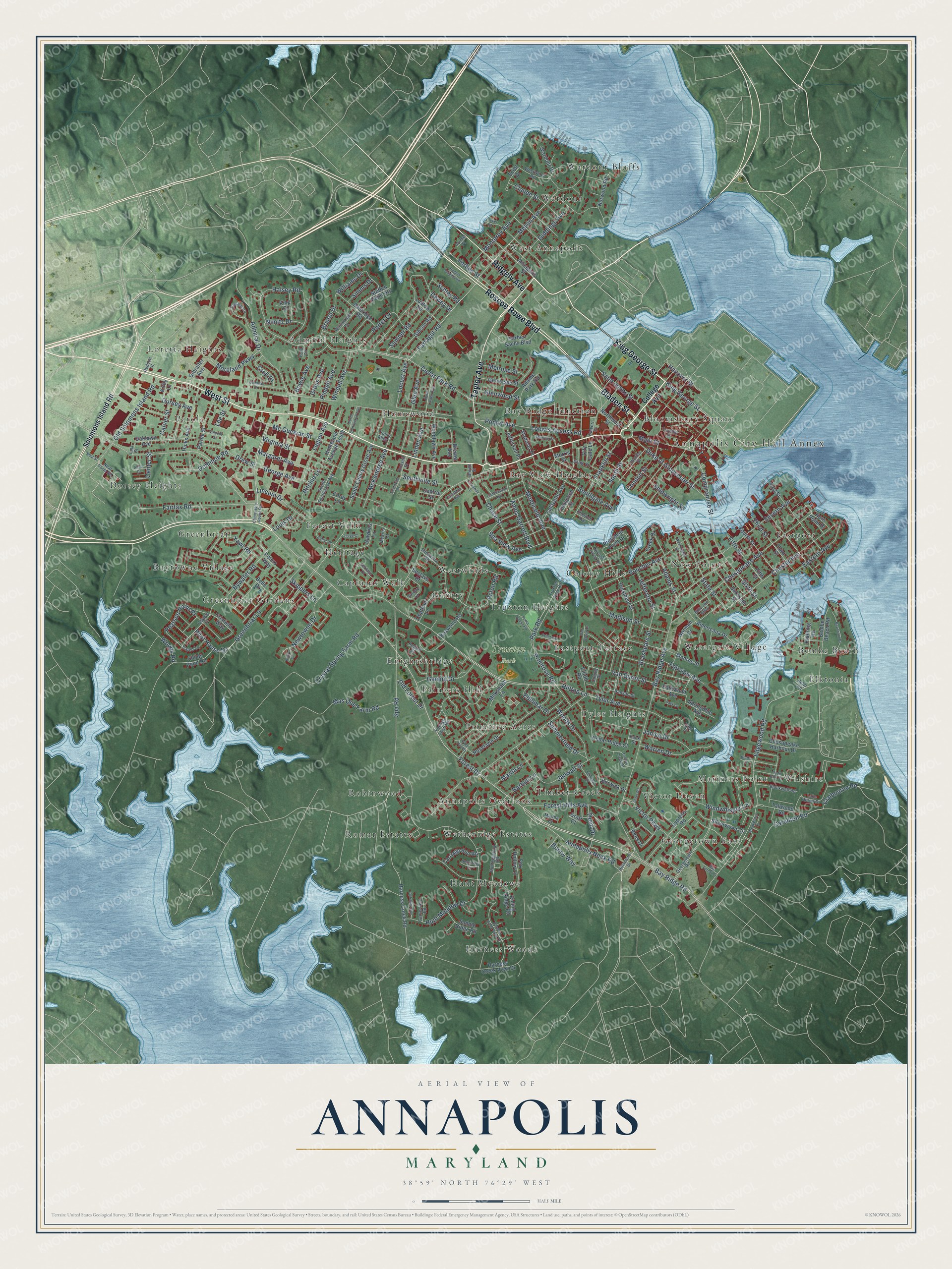
A new map of Annapolis, Maryland, made in 2026 and printed to order on thick archival matte paper.
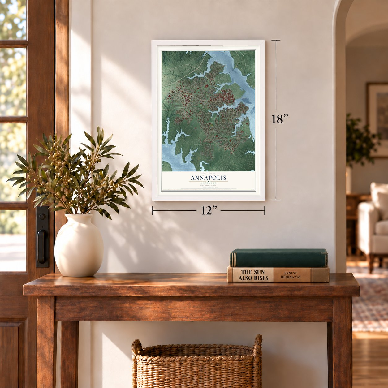
12" x 18" Archival Matte Print
A Map of Home. A Work of Art.
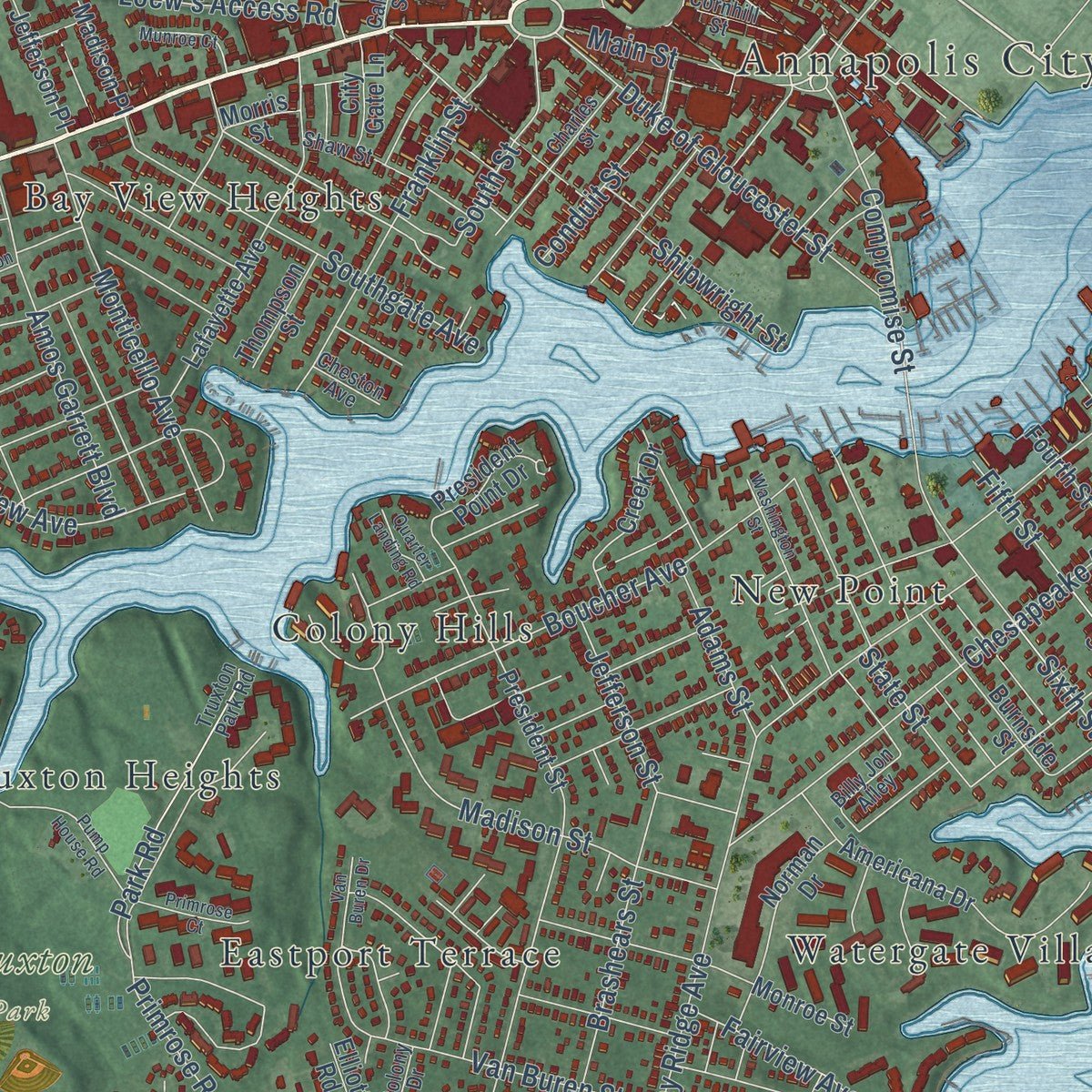
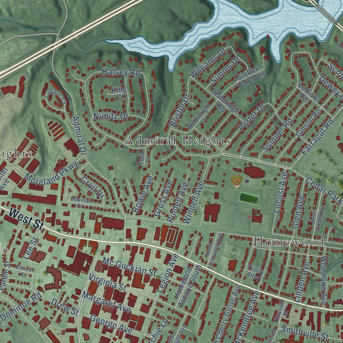
Explore Annapolis, Maryland from a whole new perspective. Created using aerial imagery and detailed geographic data, this map captures Annapolis building by building, with labeled streets, familiar landmarks, and shaded topographical relief that highlights the natural contours of the landscape.
Combining modern data with the timeless character of a vintage atlas, this map is just as interesting up close as it is beautiful on the wall. Whether you grew up in Annapolis, spent memorable years there, or call it home today, this unique map is a great way to celebrate a place that means something to you. Zoom in on the preview to look for your street, and then order a print to put your memories on the wall.
Three ways to hang it
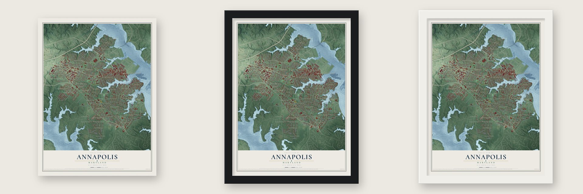
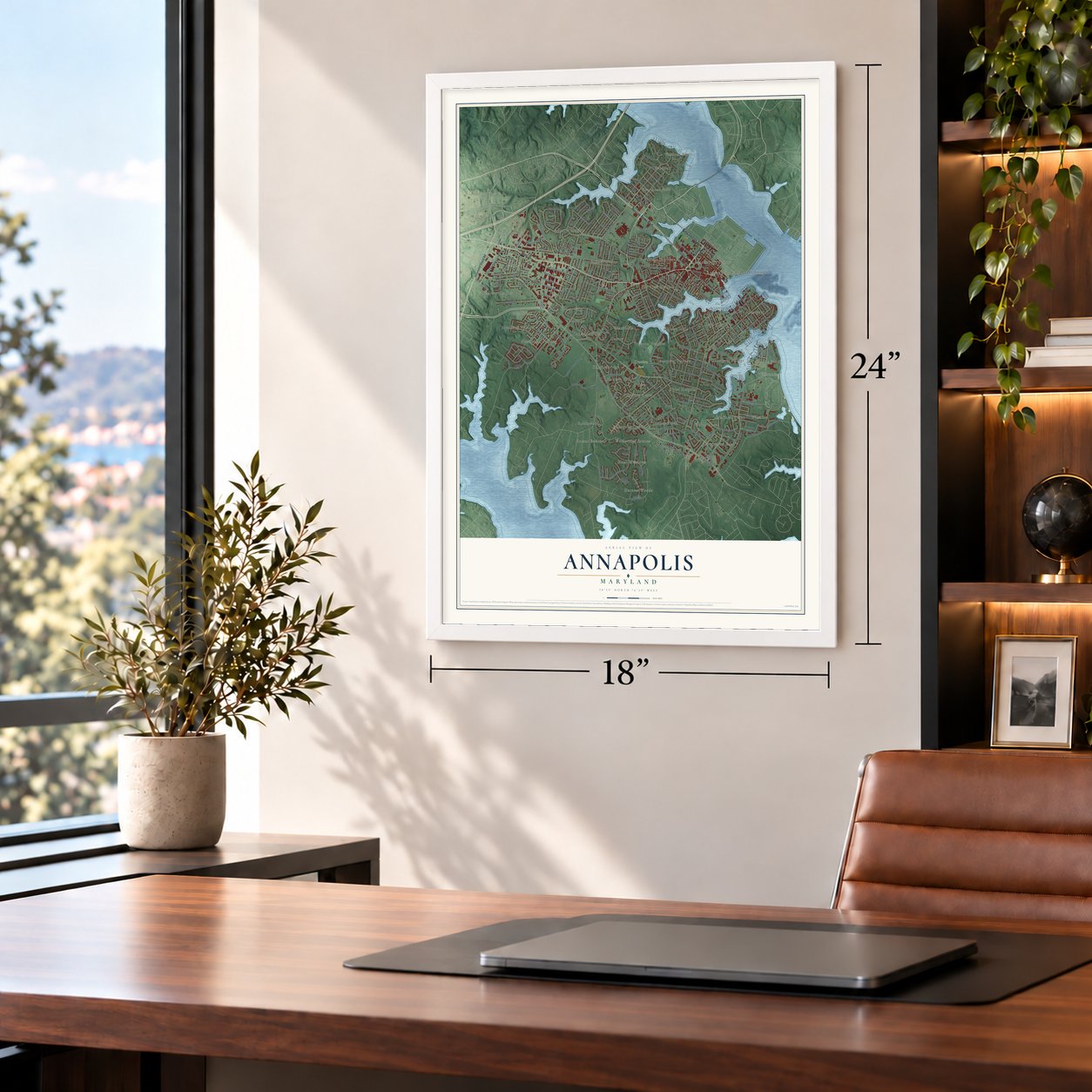
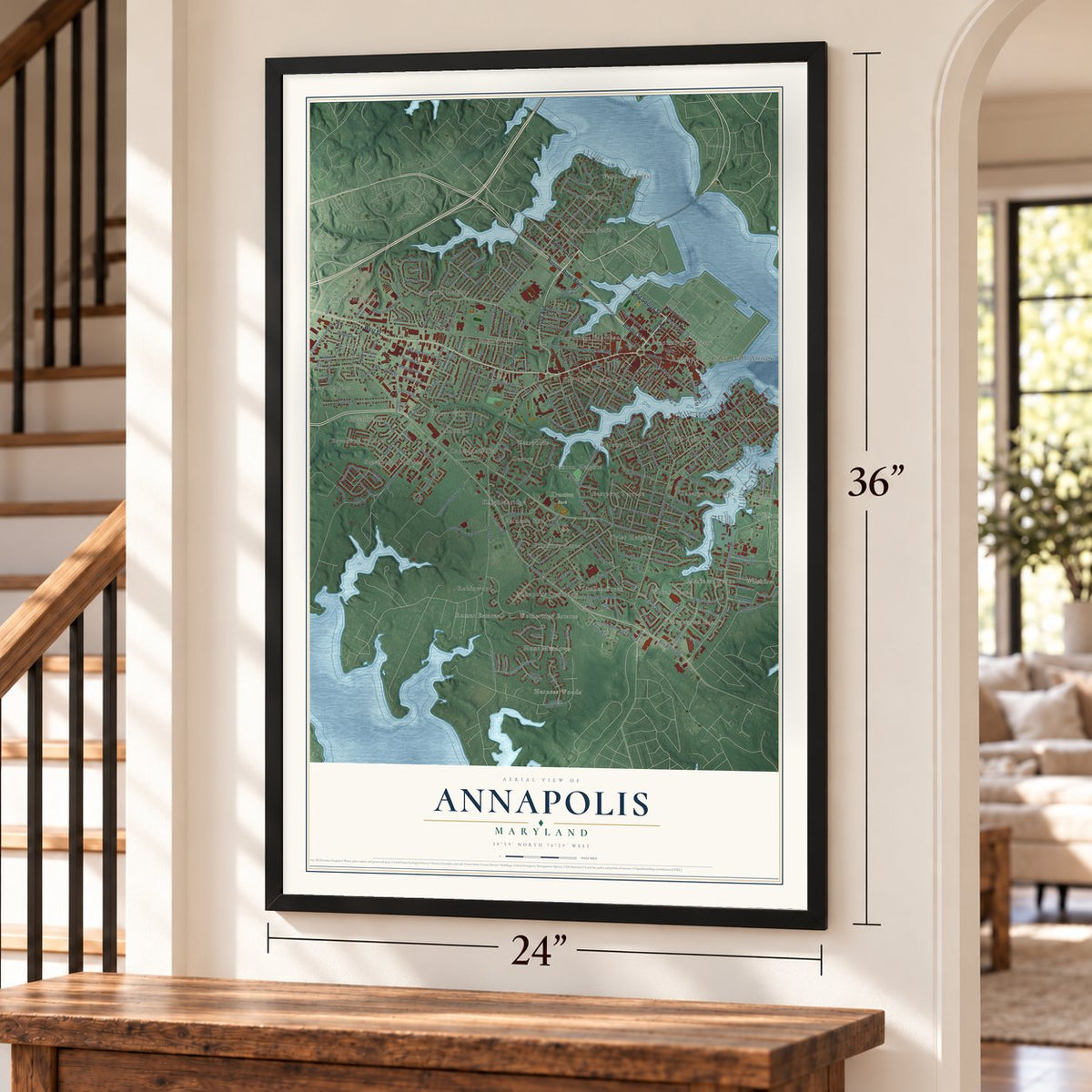
Unframed archival matte, a black wood frame or a white wood frame.
Up close
Geography Worth Displaying
This map was created using accurate cartographic data and authoritative geographic sources, including the U.S. Geological Survey and the Census Bureau. The map brings together terrain, waterways, roads, and building detail. The majority of the streets are labeled, houses are accurately depicted, and the topography is derived from government sources. Combining local data with carefully composed color and shading leads to this beautifully detailed Annapolis artwork for your wall.
Rather than simply showing street outlines, we’ve included as many of the street names as we could reasonably fit on the map while keeping their names legible. Zoom in on the high resolution preview to see exactly what’s on the map. We truly set out to create a statement piece for anyone who loves Annapolis. So whether it’s for you, or a gift for someone you love, we hope this map of Annapolis brings back fond memories.
Read the story behind this map of Annapolis, Maryland from 2026.

About Annapolis, Maryland
Annapolis is the capital of Maryland and the seat of Anne Arundel County. It's a city of 40,812 people where the Severn River meets the Chesapeake Bay. In 1649 Puritans who had been forced out of Virginia founded a town called Providence on the north shore of the Severn. Their leader was Governor William Stone. The settlers later moved to a safer harbor on the south shore. That town was called Town at Proctor's from 1683, and then Town at the Severn.
In 1694 it took the name Anne Arundel's Towne, for the late wife of the second Lord Baltimore. That same year Governor Francis Nicholson moved the colony's capital there. He renamed it Annapolis, for Princess Anne, the future Queen Anne. The town grew fast as a seat of government and a busy port. It was also a major center of the Atlantic slave trade, and it became a city in 1708. Then Baltimore, which had a deeper harbor, became a port of entry in 1780, and trade here faded. Oyster packing, boatbuilding and sailmaking became the main work.
- Battle of the Severn, 1655Parliament's forces took over Maryland in 1654, and Governor Stone fled to Virginia. Lord Baltimore ordered him back, and he returned the next spring at the head of a royalist force. On March 25, 1655, he lost the fight on the Severn. It was the first naval battle in the American colonies. Stone was taken prisoner, and Josias Fendall became governor in his place.
- Washington resigns, 1783Congress began meeting in the Maryland State House on November 26, 1783. That made Annapolis the temporary national capital. On December 23, 1783, George Washington gave up his command of the Continental Army there. On January 14, 1784, Congress ratified the Treaty of Paris in the same building. Annapolis became the first peacetime capital of the United States.
- The State House, begun 1772Work on the Maryland State House started in 1772. The legislature first met in it in 1779. No other state house has been used by lawmakers without a break for so long. Its wooden dome is the largest in the country put together without nails.
- The call for a ConstitutionEvery state was invited to Annapolis in 1786 to talk about rules for trade. Only five sent delegates that September: New York, Pennsylvania, Virginia, New Jersey and Delaware. The delegates never got to that business. Instead they called for a new meeting in Philadelphia the next year. That meeting wrote the Constitution of the United States.
- Camp ParoleIn 1861 the first of three camps for paroled soldiers opened on the St. John's College campus. The second camp stood where Forest Drive runs today, and it held over 20,000 men. The third was finished in late 1863 near the Elkridge Railroad. The area west of the city is still called Parole. Soldiers who died in the camps lie in Annapolis National Cemetery.
Find your street
Names on the Annapolis map
Every name below is printed on this map. Look for your street, your school, the park where you played, or the pond down the road.
Places and landmarks44
- Annapolis City Hall Annex
- Truxton Park
- Admiral Heights
- Annapolis Overlook
- Bay Ridge Junction
- Bay View Heights
- Baytowne Village
- Bembe Beach
- Bloomsbury Square
- Captains Walk
- Colony Hills
- Dorsey Heights
Show all 44 places
- Eastport
- Eastport Terrace
- Elktonia
- Forest Villa
- Gentry
- Georgetown East
- Greenbriar
- Greenbriar Gardens
- Harness Woods
- Heritage
- Homewood
- Hunt Meadows
- Knightsbridge
- Loretta Heights
- Mariners Point
- New Point
- Painters Hill
- Parole
- Primrose Acres
- Robinwood
- Romar Estates
- Timber Creek
- Truxton Heights
- Tyler Heights
- Victor Haven
- Wardour
- Wardour Bluffs
- Watergate Village
- West Annapolis
- Westwinds
- Wetheridge Estates
- Wilshire
Streets and roads267
- West Street
- Roscoe Rowe Boulevard
- Taylor Avenue
- King George Street
- Bladen Street
- Ridgely Avenue
- Forest Drive
- Bay Ridge Avenue
- Bay Ridge Road
- Annapolis Neck Road
- Main Street
- Melvin Avenue
- Farragut Road
- Hilltop Lane
- Cedar Park Road
- Compromise Street
- George Avenue
- Edgewood Road
- Pilot House Drive
- Mc Guckian Street
- Chester Avenue
- Porter Drive
- Spa Road
- Tyler Avenue
- Hunt Meadow Drive
- Poplar Avenue
- Chesapeake Avenue
- Admiral Drive
- Crystal Spring Farm Road
- Dewey Drive
Show all 267 streets
- Mas Que Farm Road
- Windwhisper Lane
- Greenbriar Lane
- Primrose Road
- Severn Avenue
- Halsey Road
- Bywater Road
- Giddings Avenue
- Fairfax Road
- Old Solomons Island Road
- Boucher Avenue
- Sixth Street
- Victor Parkway
- Janwall Street
- Duke of Gloucester Street
- Southgate Avenue
- Monterey Avenue
- Franklin Street
- Forest Hills Avenue
- Woods Drive
- Monticello Avenue
- Madison Street
- Williams Drive
- Glen Avenue
- Locust Avenue
- Sumner Road
- Amos Garrett Boulevard
- Newtowne Drive
- State Street
- Linden Avenue
- Pearson Point Place
- Warren Drive
- Park Road
- Third Street
- Brashears Street
- Eastern Avenue
- Glenwood Street
- Virginia Street
- Spa View Avenue
- Chase Street
- Gemini Drive
- Lincoln Drive
- Jefferson Street
- Dominoe Road
- Legion Avenue
- McKendree Avenue
- Claude Street
- Moreland Parkway
- Edelmar Drive
- Carollton Road
- Margaret Avenue
- Van Buren Street
- Fifth Street
- Drew Street
- Saint Johns Street
- Forbes Street
- Conduit Street
- Bonny Way
- Summerfield Drive
- South Street
- Smithville Street
- Windell Avenue
- Loew's Access Road
- Janice Drive
- Melrose Street
- Center Street
- Fairview Avenue
- Yawl Road
- Hanover Street
- Marda Lane
- Claibourne Road
- Croll Drive
- Shipwright Street
- Adams Street
- Old Forest Drive
- Dorsey Avenue
- Bristol Drive
- Nimitz Drive
- Carver Street
- Gross Avenue
- Pindell Avenue
- Thom Drive
- Barbud Lane
- Skippers Lane
- Ritchie Lane
- Bowie Avenue
- Woods Road
- Schley Road
- Simms Drive
- Louis Drive
- Acton Road
- Lee Street
- College Avenue
- Solomons Island Road
- Silverwood Circle
- Bens Drive
- South Cherry Grove Avenue
- President Street
- Cedar Ridge Court
- Riding Ridge Road
- Wardour Drive
- Lafayette Avenue
- Burnside Street
- First Street
- Americana Drive
- Boxwood Road
- Woodlawn Avenue
- Monroe Street
- Bembe Beach Road
- Gibson Road
- Crisfield Way
- Genessee Street
- Annapolis Street
- Cypress Road
- Northwest Street
- Hicks Avenue
- Norwood Road
- Parole Street
- Harness Creek Road
- Hawkins Lane
- Fourth Street
- Herbert Sachs Boulevard
- Chesapeake Harbour Drive
- Saddle Ridge Road
- Baldridge Road
- Springdale Avenue
- Norman Drive
- Roselawn Drive
- Childs Point Road
- Graff Court
- Tallwood Road
- Belle Drive
- Fox Hollow Lane
- Carriage Run Road
- Creek Drive
- President Point Drive
- Klakring Road
- Homeland Avenue South
- Ludlow Road
- Harness Creek View Drive
- Steffen Point Heights
- Jefferson Place
- Scott Drive
- Parkwood Avenue
- Adams Park Road
- Gibralter Avenue
- Chatham Lane
- Milkshake Lane
- Thompson Street
- Berwick Drive
- Madison Place
- Elliott Road
- Peters Way
- City Gate Lane
- Oaklawn Avenue
- Horn Point Drive
- Kirby Lane
- Enclave Court
- Central Street
- Corey Lane
- Brewer Avenue
- Morris Street
- King Court
- Hillsmere Drive
- Georgetown Road
- Youngs Farm Road
- Silopanna Road
- South Southwood Avenue
- Huntingwood Road
- Lake Heron Drive
- Gentry Court
- Truxton Park Road
- Calvert Street
- Wainwright Drive
- Charles Street
- Blackwell Road
- Regent Street
- Coybay Drive
- Shaw Street
- Billy Jon Alley
- Westwood Road
- Neal Farm Road
- Caleb Lane
- Cornhill Street
- Canterfield Road
- Colony Drive
- Hudson Street
- Russell Street
- Hanson Street
- Martha Court
- Cheston Avenue
- Meares Court
- Trinity Alley
- Brown Street
- Ford Circle
- Link Street
- Bank Street
- Tyler Place
- Helm Road
- Chinquapin Round Road
- Harness Creek View Court
- Breakwater Drive
- Tucker Street
- Bay Front Drive
- Hyde Park Drive
- Catlyn Place
- Van Buren Drive
- Washington Street
- North Linden Avenue
- Timber Creek Drive
- Captains Circle
- Heritage Court
- Pump House Road
- Arbor Hill Road
- Bowman Drive
- Rogers Heights Road
- North Southwood Avenue
- Pytchley Run
- Primrose Court
- Ellington Drive
- Alder Road
- Munroe Court
- Constitution Avenue
- Quarter Landing Road
- Southvilla Avenue
- Vincent Street
- Heathfield Lane
- Carraway Lane
- Carrollton Avenue
- Bay Forest Court
- Lloyd Court
- Allen Drive
- Park Lane
- Neal Street
- Bluffs Lane
- Betsy Court
- Arundel Place
Names are listed as they appear on the printed map. Zoom into the product photos to find them.
The art of mapping a place
How This Map Was Made
Real places. Remarkable detail. Discover the layers that turn geographic data into a map of home.

The view from above
Aerial imagery reveals the character of the land: woodland, open fields, and the patterns of a place.

The shape of the land
Elevation data brings hills, valleys, and subtle changes in the landscape into view.

The details of home
Roads, waterways, and building footprints come together to make the map feel unmistakably local.

Geography becomes art
Considered color, shading, and typography bring the layers together in a map made for your wall.


Process illustrated with Mendon, Massachusetts. Aerial imagery: USDA NAIP. Terrain: USGS 3D Elevation Program. Map details and finished artwork: KNOWOL.
The Details
About This Print
Choose an archival matte print, or a black or white Ayous wood frame. The archival matte print is unframed.
Select your size and finish above to see the matching product image and price.
Materials & Craftsmanship
A contemporary map with the character of a classic atlas, printed on archival matte paper. Optional frames are made from Ayous wood.
Your printed map does not include the watermark shown in the full-map preview.
Shipping & Delivery
Free shipping within the United States. Every print is made to order in the USA.
Buying a gift? Add a note in your cart and we'll include it. We never put prices in the package.
Prints ship within 2 to 3 business days. Allow 7 to 10 days total from ordering for delivery. Timing may vary during holidays or periods of high order volume.
Read our shipping policy.
Returns and damaged prints
Each print is made to order. Change-of-mind refunds are not available after production.
If your print arrives damaged, misprinted or incorrect, contact support@knowol.com within 30 days of receiving it. Include your order number, photos and a description of the issue.
Read our full refund and replacement policy. For questions about your order, email support@knowol.com.
Find your town
Looking for another city?
Find a map of home in our Maryland collection, or any town in the country.
Nearby
Maps of towns near Annapolis
Know someone from one of these towns? Their map makes a great gift.
 Naval Academy
, Maryland
From $39.99See the map
 Annapolis Neck
, Maryland
From $39.99See the map
 Parole
, Maryland
From $39.99See the map
More maps nearby: Edgewater, Highland Beach, Arundel on the Bay, Mayo and Arnold.