
Search for another town



Free U.S. delivery 7 to 10 days after you order
Appleton, Wisconsin Map Art
Building by building, with labeled streets and shaded relief.
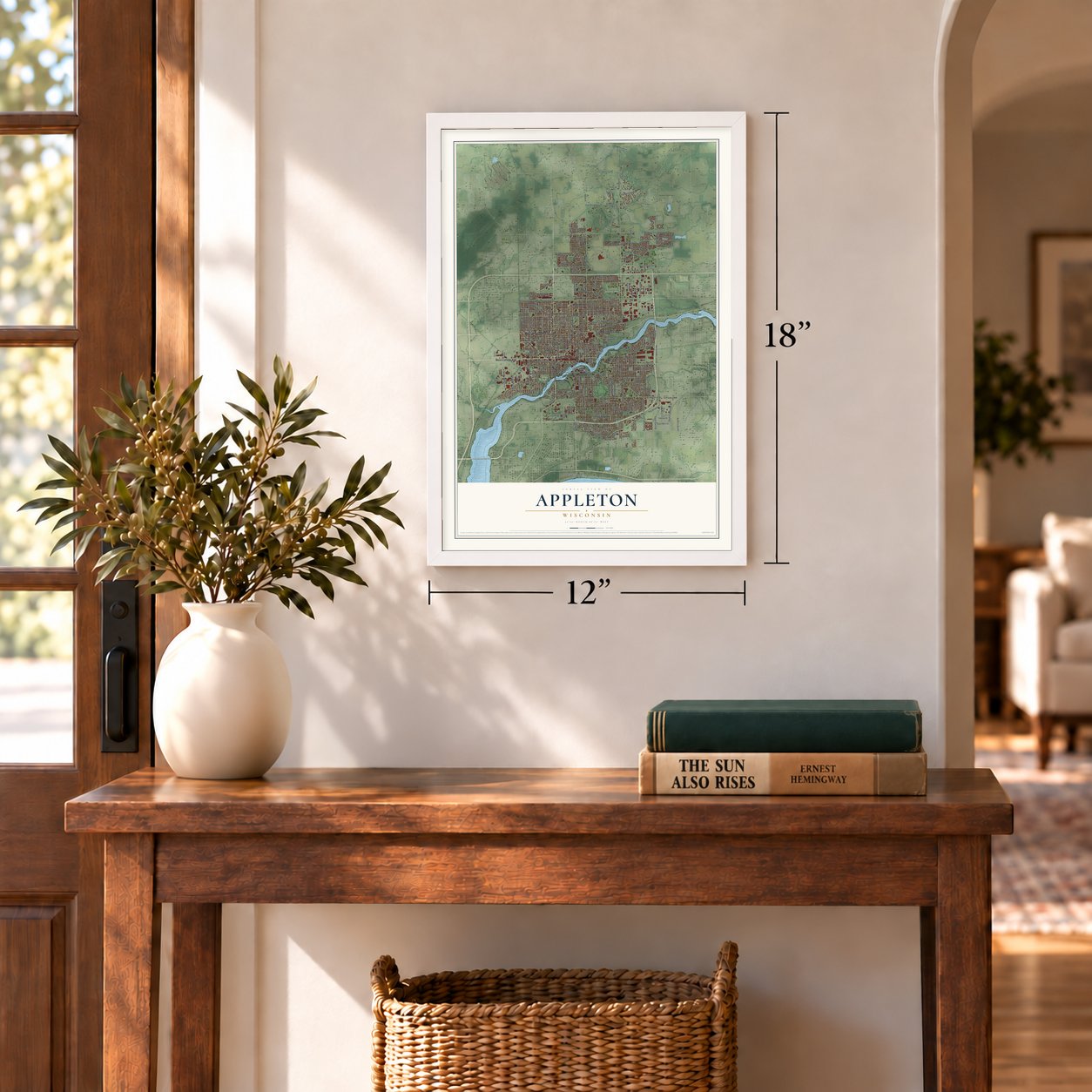
12" x 18" Archival Matte Print
A Map of Home. A Work of Art.
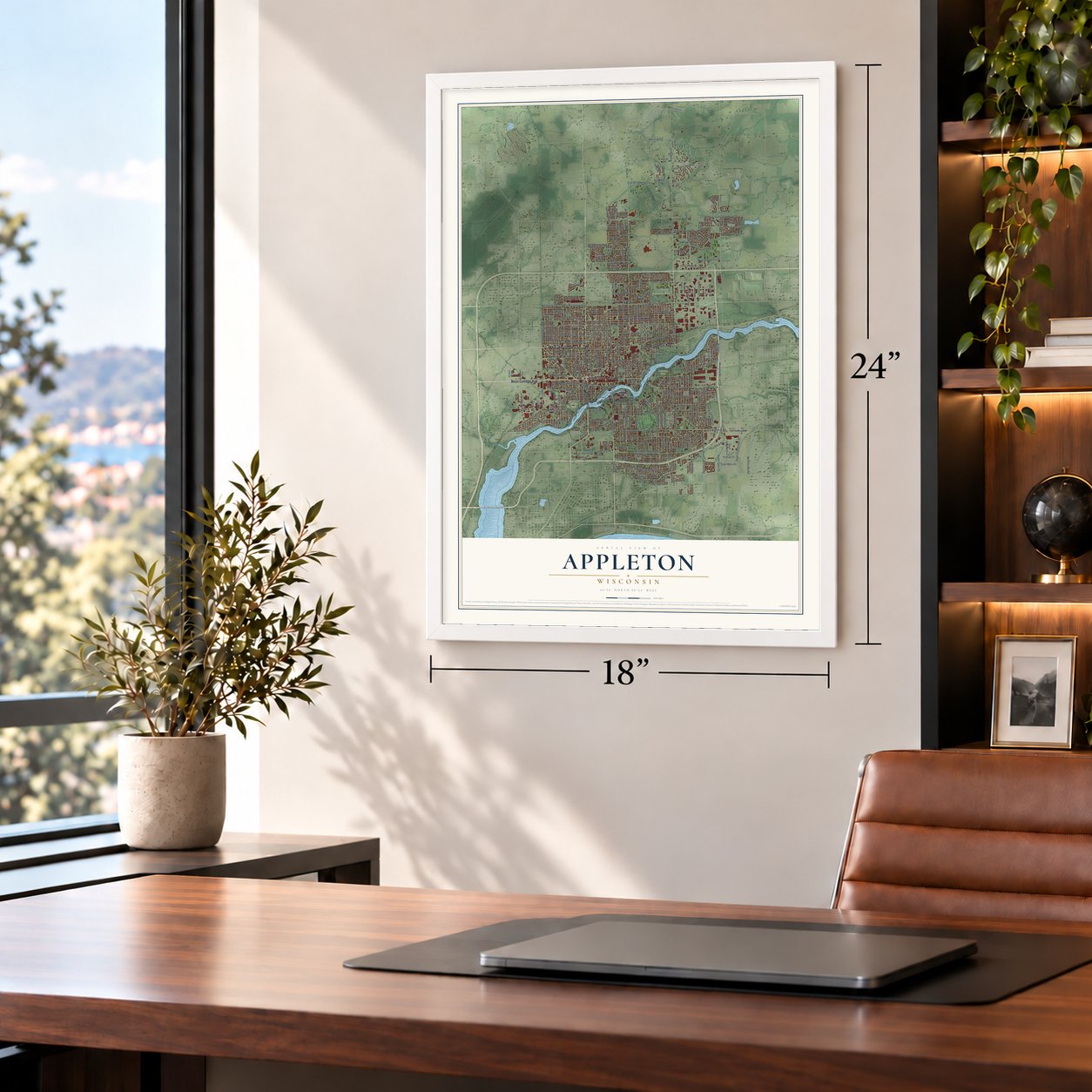
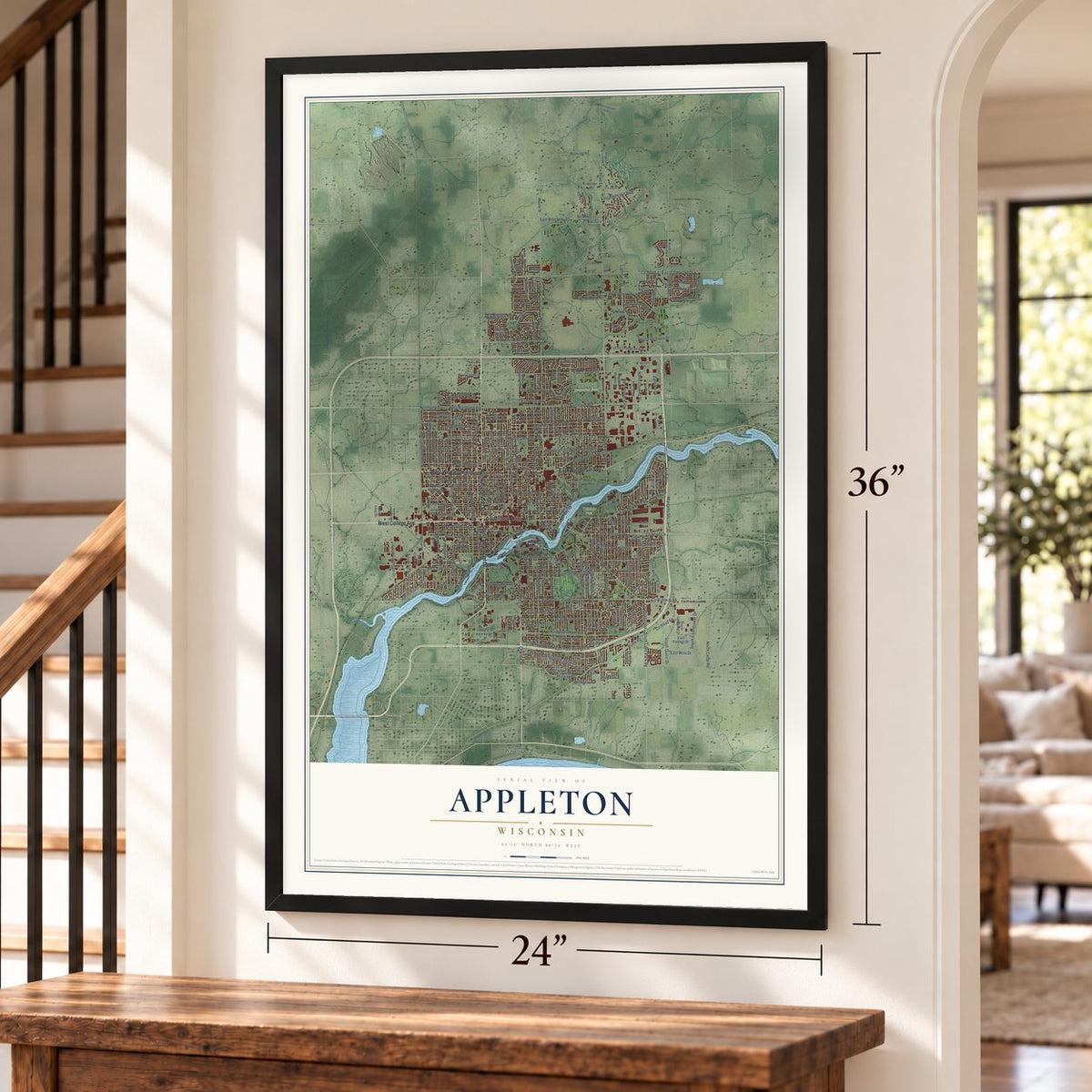
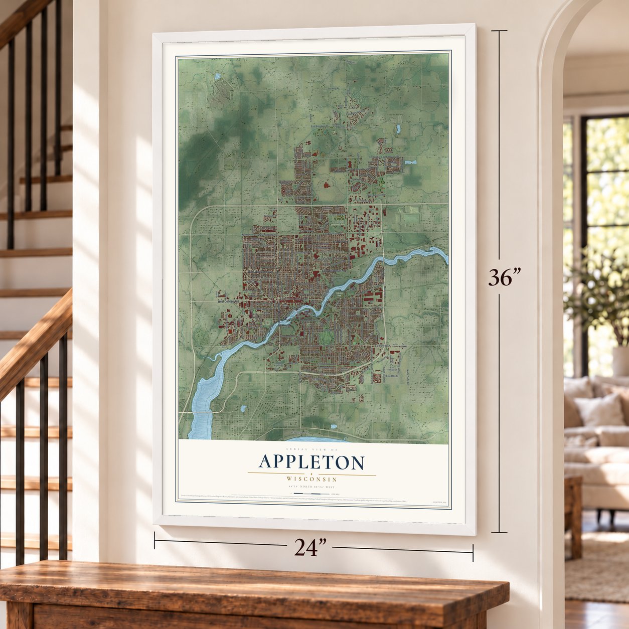
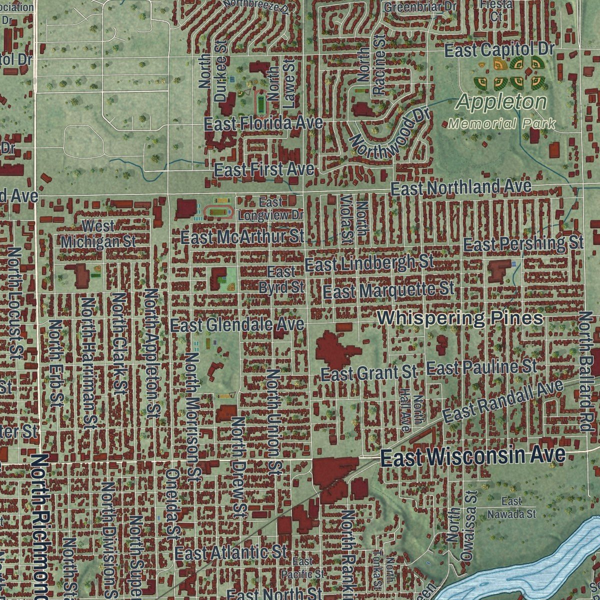
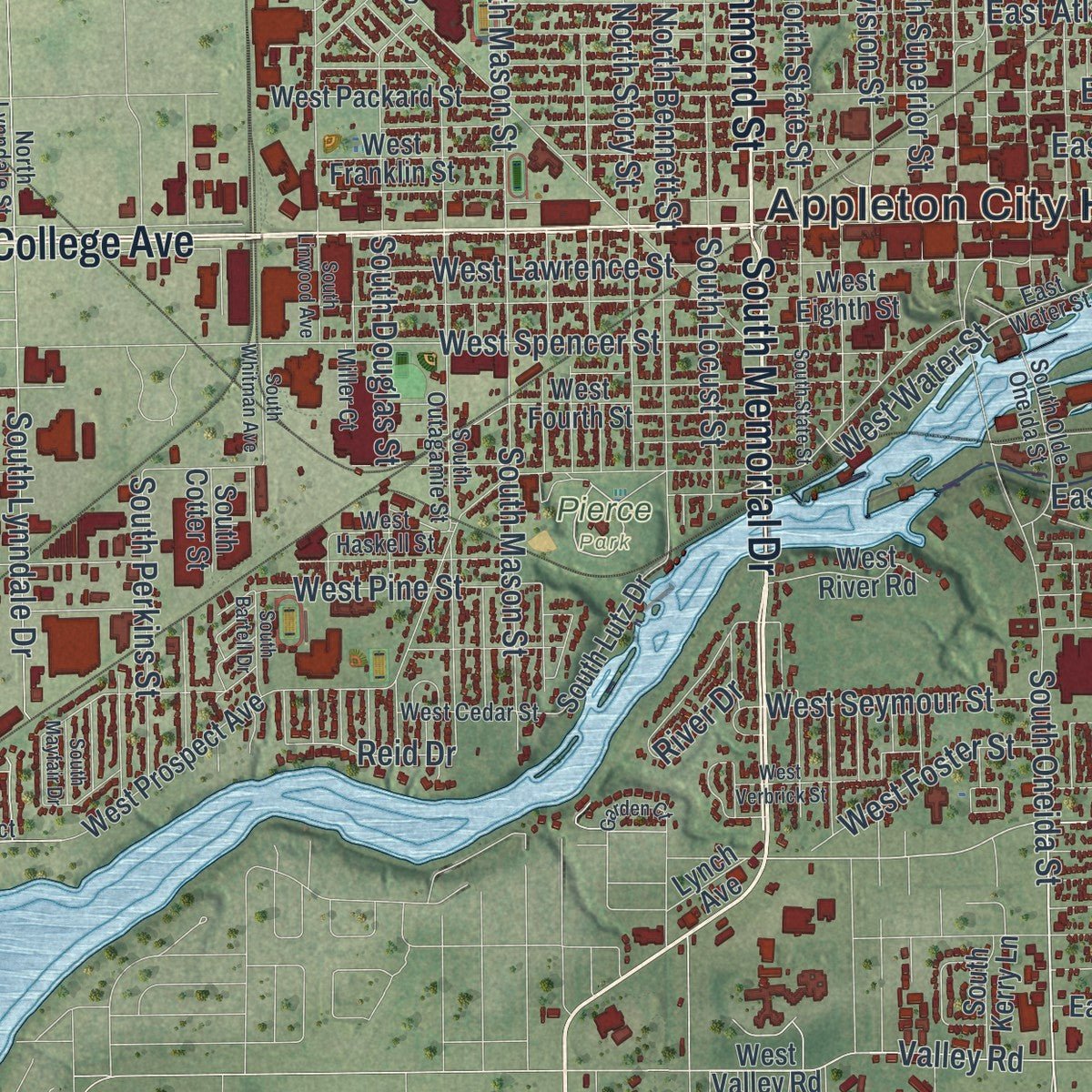
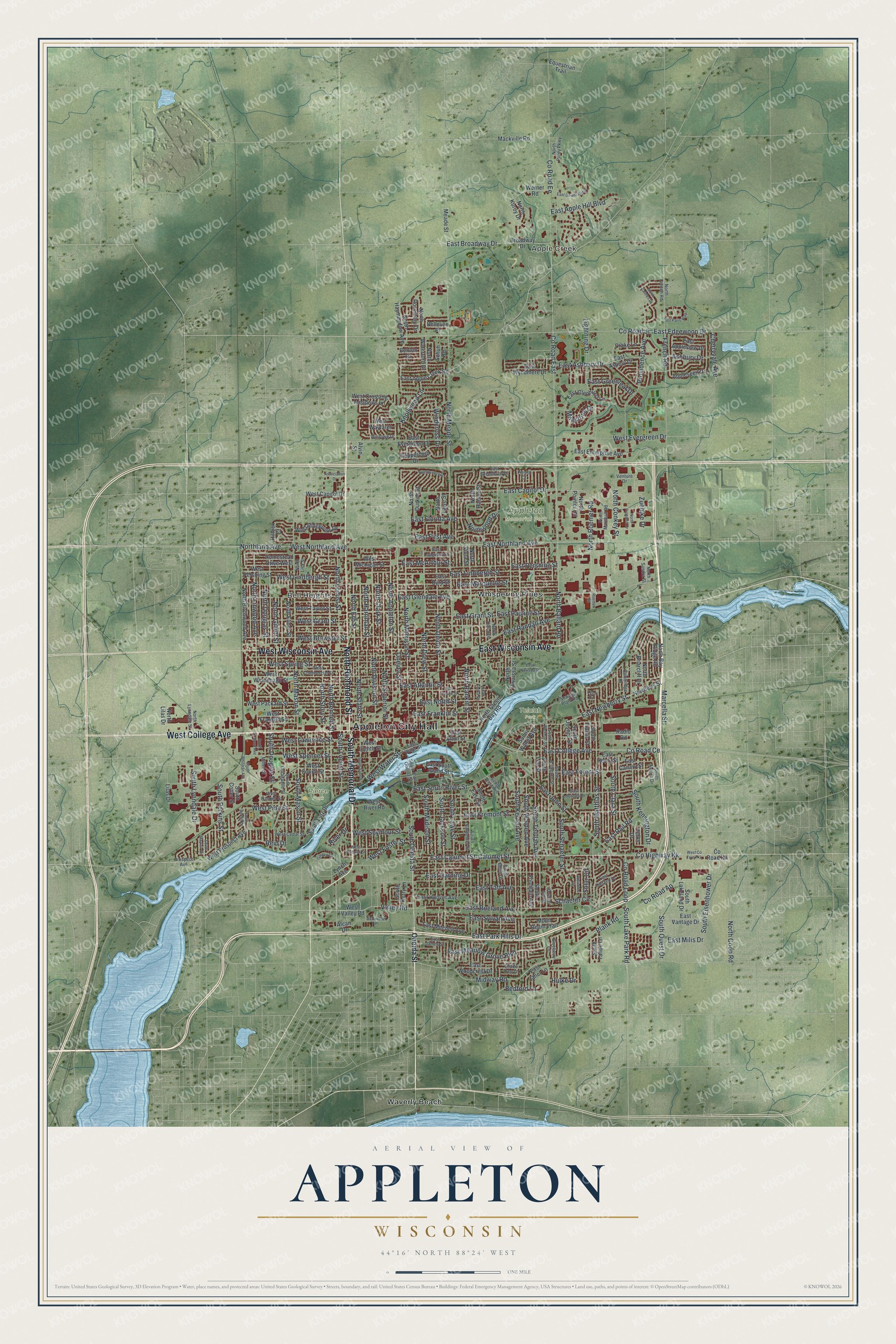
Explore Appleton, Wisconsin from a whole new perspective. Created using aerial imagery and detailed geographic data, this map captures Appleton building by building, with labeled streets, familiar landmarks, and shaded topographical relief that highlights the natural contours of the landscape.
Combining modern data with the timeless character of a vintage atlas, this map is just as interesting up close as it is beautiful on the wall. Whether you grew up in Appleton, spent memorable years there, or call it home today, this unique map is a great way to celebrate a place that means something to you. Zoom in on the preview to look for your street, and then order a print to put your memories on the wall.
Three ways to hang it
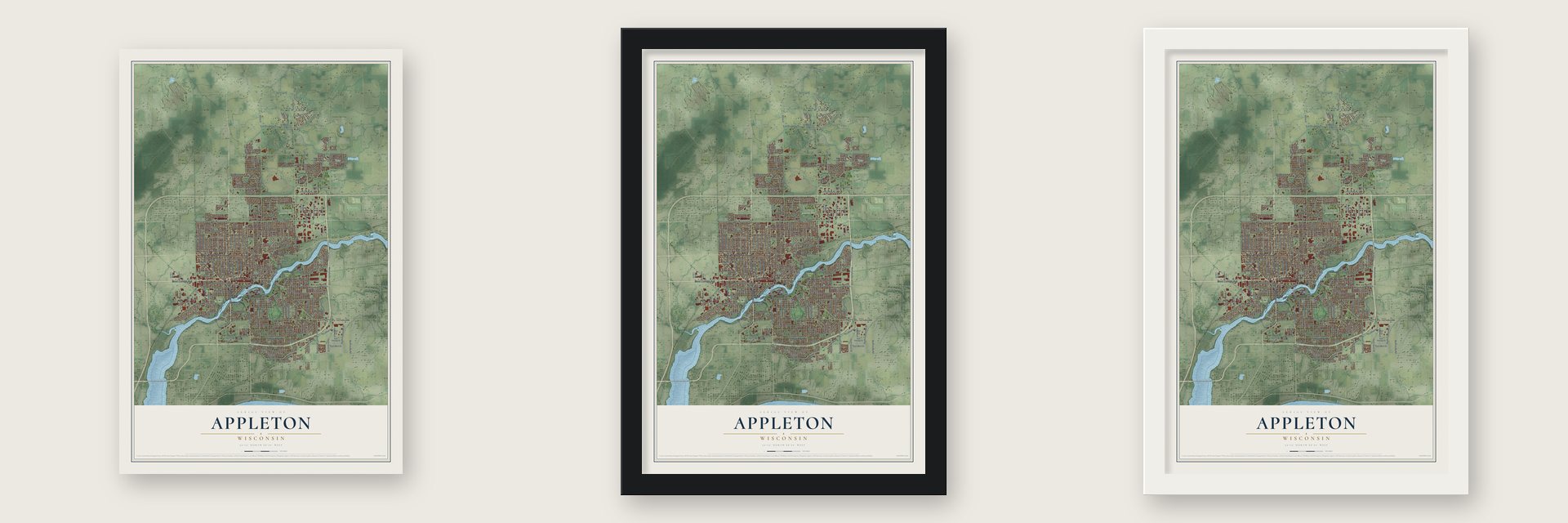
Unframed archival matte, a black wood frame or a white wood frame.
Up close
Geography Worth Displaying
This map was created using accurate cartographic data and authoritative geographic sources, including the U.S. Geological Survey and the Census Bureau. The map brings together terrain, waterways, roads, and building detail. The majority of the streets are labeled, houses are accurately depicted, and the topography is derived from government sources. Combining local data with carefully composed color and shading leads to this beautifully detailed Appleton artwork for your wall.
Rather than simply showing street outlines, we’ve included as many of the street names as we could reasonably fit on the map while keeping their names legible. Zoom in on the high resolution preview to see exactly what’s on the map. We truly set out to create a statement piece for anyone who loves Appleton. So whether it’s for you, or a gift for someone you love, we hope this map of Appleton brings back fond memories.
Read the story behind this map of Appleton, Wisconsin from 2026.

Find your street
Names on the Appleton map
Every name below is printed on this map. Look for your street, your school, the park where you played, or the pond down the road.
Places and landmarks8
- Appleton City Hall
- Apple Creek
- Bell Heights
- Appleton Memorial Park
- Pierce Park
- Telulah Park
- Waverly Beach
- Whispering Pines
Streets and roads260
- North Richmond Street
- South Memorial Drive
- West College Avenue
- East Wisconsin Avenue
- West Wisconsin Avenue
- Calumet Street
- South Oneida Street
- County Highway Kk
- North Ballard Road
- East College Avenue
- County Road Ce
- East John Street
- South Telulah Avenue
- East Newberry Street
- Oneida Street
- North Appleton Street
- East Calumet Street
- East Florida Avenue
- County Road East
- North Meade Street
- East Ashbury Drive
- East Atlantic Street
- Milestone Drive
- West Water Street
- Reid Drive
- County Road Ap
- French Road
- Midway Road
- County Road Jj
- East Edgewood Drive
Show all 260 streets
- East Northland Avenue
- East Glendale Avenue
- Plank Road
- East Capitol Drive
- East Meadow Grove Boulevard
- South Kernan Avenue
- North Rankin Street
- North Mason Street
- County Road Ee
- North Morrison Street
- North Drew Street
- North Union Street
- South Schaefer Street
- East Pershing Street
- South Matthias Street
- North Linwood Avenue
- North Division Street
- North Bennett Street
- North Locust Street
- South Kensington Drive
- West Evergreen Drive
- North Superior Street
- West Northland Avenue
- West Spring Street
- East Marquette Street
- East Lindbergh Street
- West Brewster Street
- South Lawe Street
- East Fremont Street
- East Broadway Drive
- East Roeland Avenue
- South Jackson Street
- East Sylvan Avenue
- Lightning Drive
- North Douglas Street
- North Clark Street
- West Lawrence Street
- East Harding Drive
- South Walden Avenue
- Providence Avenue
- East Taft Avenue
- West Spencer Street
- South Lake Park Road
- Schaefer Circle
- East South River Street
- West Lindbergh Street
- County Road Loop
- South Mason Street
- South Eisenhower Drive
- East Forest Street
- Northland Avenue
- South Madison Street
- East North Street
- West Grant Street
- North Harriman Street
- North Roemer Road
- East Randall Avenue
- North Coop Road
- North Erb Street
- North Gillett Street
- South Douglas Street
- North Conkey Street
- East Apple Hill Boulevard
- South Lynndale Drive
- River Drive
- North State Street
- North Story Street
- East Franklin Street
- East Rail Road
- South Clara Street
- Valley Road
- East Grant Street
- Cherryvale Avenue
- South Perkins Street
- South Quest Drive
- East Pauline Street
- West Pine Street
- West Seymour Street
- South Locust Street
- Knollwood Lane
- East McArthur Street
- East Greenleaf Drive
- East Park Hills Drive
- Ashbury Drive
- West Foster Street
- Windcross Drive
- Northwood Drive
- East First Avenue
- Marcella Street
- East Milis Drive
- Zuehlke Drive
- Bedford Lane
- Solar Circle
- Hulke Drive
- South Walter Avenue
- Newberry Street
- West Capitol Drive
- North Racine Street
- Appleseed Drive
- North Rosemary Drive
- Lilas Drive
- Derks Drive
- West Prospect Avenue
- West Packard Street
- West Winnebago Street
- North Durkee Street
- East Apple Creek Road
- North Owaissa Street
- North Lawe Street
- West Franklin Street
- East Byrd Street
- West Eighth Street
- West Fourth Street
- Broadway Drive
- South Lee Street
- North Haymeadow Avenue
- West Valley Road
- South Fidelis Street
- South East Street
- North Viola Street
- North Briarcliff Drive
- East Mitchell Avenue
- West Pershing Street
- South Joseph Street
- North Elinor Street
- North Birchwood Avenue
- West Taylor Street
- East Glenhurst Lane
- West Crossing Meadows Lane
- East Hoover Avenue
- East Henry Street
- West Ridgeview Drive
- East Asbury Drive
- Hillock Court
- East Evergreen Drive
- North Green Bay Road
- East Enterprise Avenue
- Bellevue Place
- Homestead Drive West
- Mackville Road
- Equestrian Trail
- North Kurey Drive
- South Fountain Avenue
- Drake Lane
- East South Island Street
- East Wyndmere Drive
- Radio Road
- East Vantage Drive
- North Waterford Drive
- South Lutz Drive
- West Wayfarer
- Werner Road
- East Woodcrest Drive
- North Bay Ridge Road
- West Michigan Street
- South Lakeland Drive
- West River Road
- South Tahoe Lane
- East Appleview Drive
- Peppercorn Drive
- Moon Beam Trail
- North Lilas Drive
- Meade Street
- North Pointer Road
- East Alton Street
- East Canary Street
- South Kerry Lane
- County Road Kk
- East Janet Lane
- Schuh Road
- South Cotter Street
- Benton Drive
- Alcan Drive
- Lynch Avenue
- Alvin Street
- East Water Street
- East Greenbriar Drive
- West Commercial Street
- South Carpenter Street
- North Purdy Parkway
- South Outagamie Street
- South Weimar Street
- East Lourdes Drive
- East Longview Drive
- North Lynndale Street
- South Arlington Street
- Sewage Plant Road
- North French Road
- South Berry Drive
- South Olde Oneida Street
- Schindler Place
- Fiesta Court
- West Cedar Street
- East Dietzen Drive
- West Haskell Street
- Cambridge Drive
- North Marshall Road
- South Jason Drive
- Winrowe Drive
- North Hall Avenue
- Lynn Drive
- South Aurora Drive
- Shade Tree Lane
- East James Street
- North Lisa Street
- Prospect Avenue
- Blueberry Lane
- South West Avenue
- North Sandra Street
- Venture Drive
- Miller Court
- West Co Trunk Kk
- East Pacific Street
- South State Street
- East Paris Way
- Northbreeze Drive
- East Nawada Street
- East Downs Ridge
- West Verbrick Street
- South Whitman Avenue
- Welcome Circle
- Association Drive
- South Linwood Avenue
- South Bartell Drive
- North Progress Drive
- Garden Court
- North Calmes Drive
- South Mayfair Drive
- North Tonka Street
- Roemer Road
Names are listed as they appear on the printed map. Zoom into the product photos to find them.
About Appleton, Wisconsin
Appleton is a Wisconsin city in Wisconsin. The 2020 census recorded 75,644 residents here.
- 75,644 residentsThat was the community's population in the 2020 census.
- Settled in 1847The first settlement at Appleton dates to 1847.
- Founded in 1847It was founded in 1847.
Keep exploring Wisconsin
Appleton is one of 2,021 Wisconsin towns we've mapped. Every dot on the map is a print of its own.
The search covers every state, Wisconsin first.
Near Appleton
Order 2 or more town maps and save 10%. Shown in the size and finish you picked above, so they hang as a set.
- Kimberly 12" x 18" / Archival Matte Print $39.99
- Grand Chute 12" x 18" / Archival Matte Print $39.99
- Little Chute 12" x 18" / Archival Matte Print $39.99


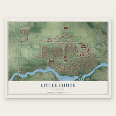
More maps nearby: Combined Locks, Town of Harrison, Menasha, Vandenbroek and Fox Crossing.
The art of mapping a place
How This Map Was Made
Real places. Remarkable detail. Discover the layers that turn geographic data into a map of home.

The view from above
Aerial imagery reveals the character of the land: woodland, open fields, and the patterns of a place.

The shape of the land
Elevation data brings hills, valleys, and subtle changes in the landscape into view.

The details of home
Roads, waterways, and building footprints come together to make the map feel unmistakably local.

Geography becomes art
Considered color, shading, and typography bring the layers together in a map made for your wall.


Process illustrated with Mendon, Massachusetts. Aerial imagery: USDA NAIP. Terrain: USGS 3D Elevation Program. Map details and finished artwork: KNOWOL.
The Details
About This Print
Choose an archival matte print, or a black or white Ayous wood frame. The archival matte print is unframed.
Select your size and finish above to see the matching product image and price.
Materials & Craftsmanship
A contemporary map with the character of a classic atlas, printed on archival matte paper. Optional frames are made from Ayous wood.
Your printed map does not include the watermark shown in the full-map preview.
Shipping & Delivery
Free shipping within the United States. Every print is made to order in the USA.
Buying a gift? Add a note in your cart and we'll include it. We never put prices in the package.
Prints ship within 2 to 3 business days. Allow 7 to 10 days total from ordering for delivery. Timing may vary during holidays or periods of high order volume.
Read our shipping policy.
Returns and damaged prints
Each print is made to order. Change-of-mind refunds are not available after production.
If your print arrives damaged, misprinted or incorrect, contact support@knowol.com within 30 days of receiving it. Include your order number, photos and a description of the issue.
Read our full refund and replacement policy. For questions about your order, email support@knowol.com.