
Search for another town



Free U.S. delivery 7 to 10 days after you order
Arcadia, Florida Map Art
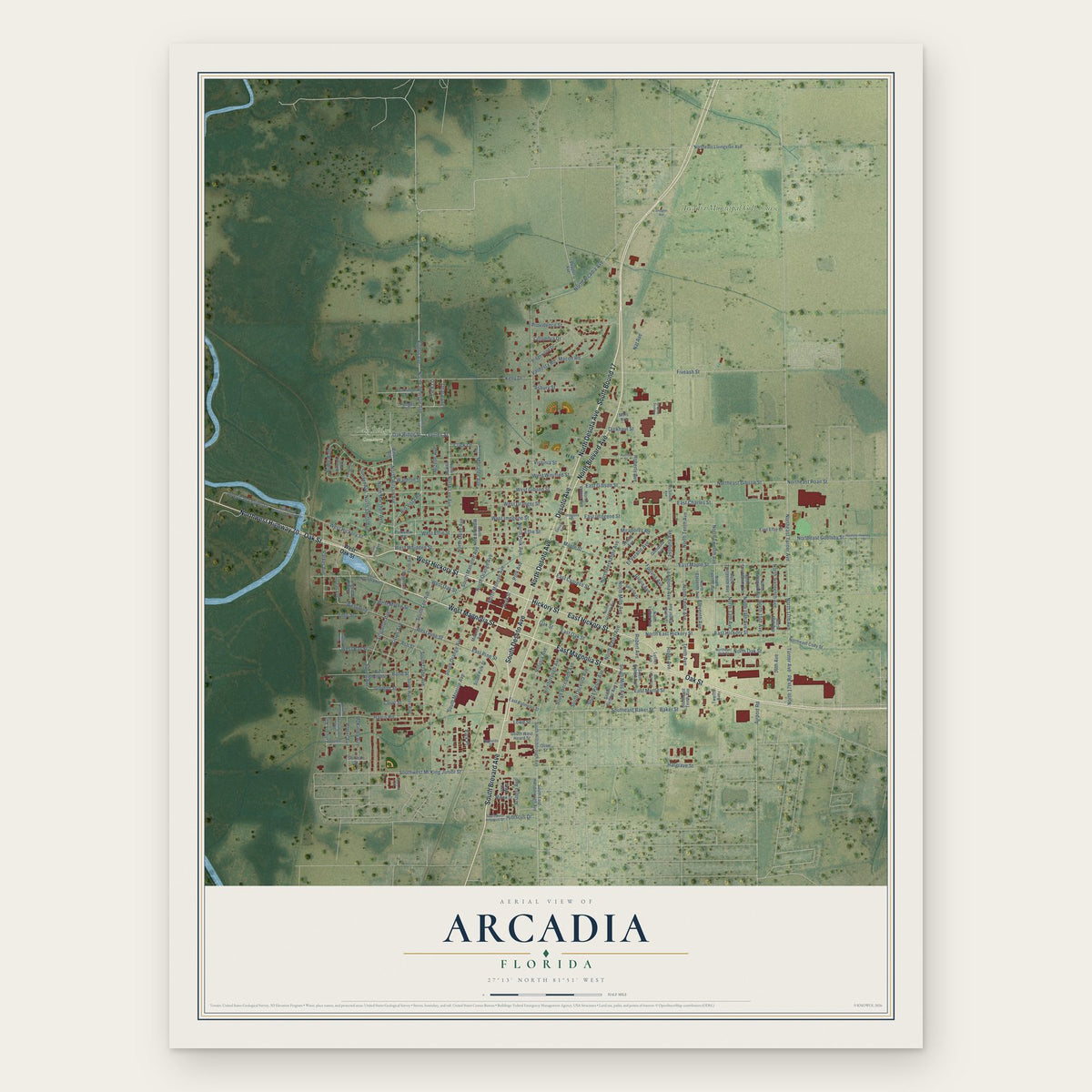
Building by building, with labeled streets and shaded relief.
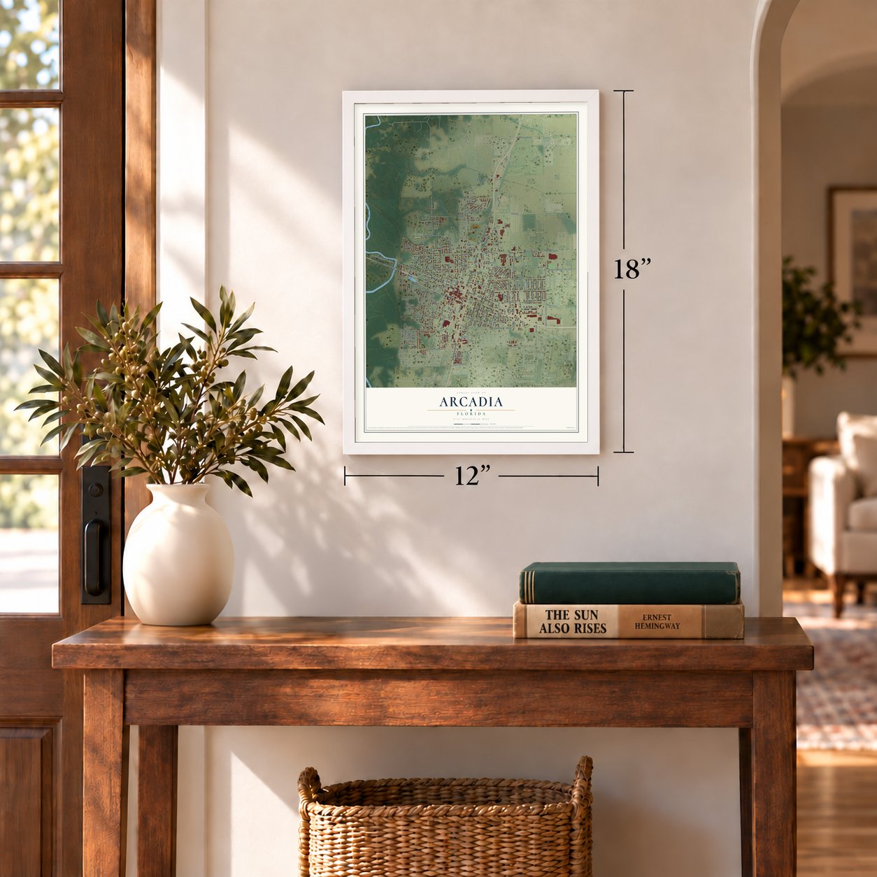
12" x 18" Archival Matte Print
A Map of Home. A Work of Art.
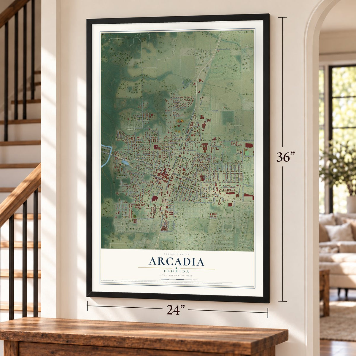
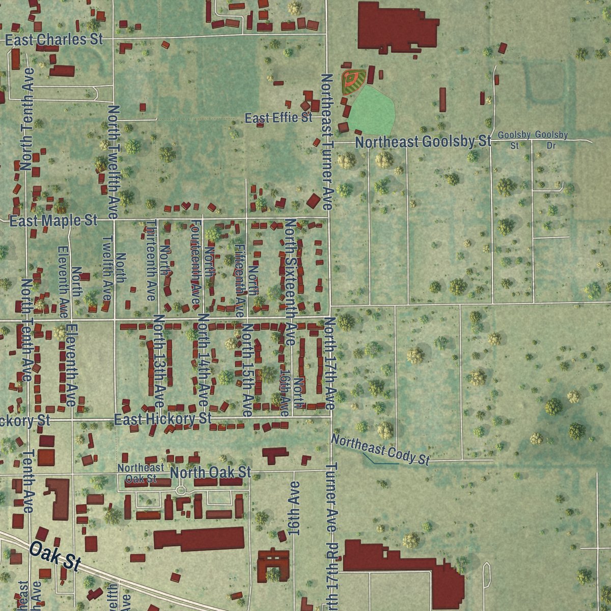
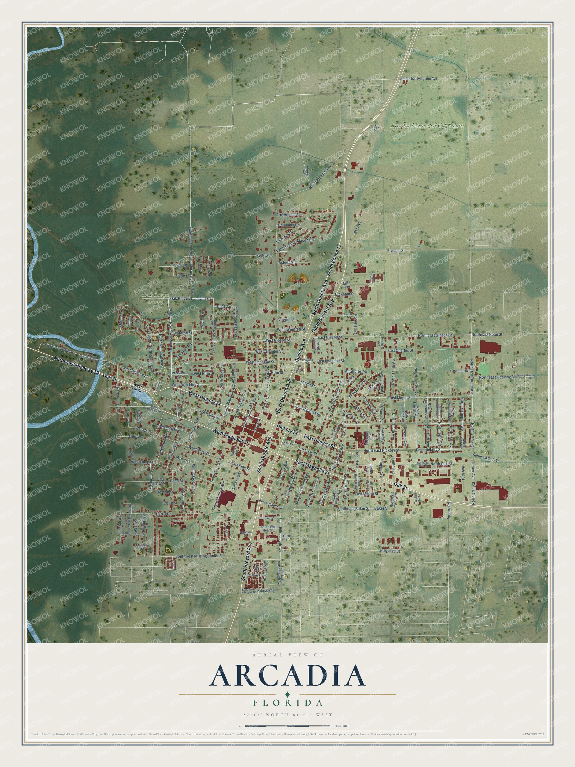
Explore Arcadia, Florida from a whole new perspective. Created using aerial imagery and detailed geographic data, this map captures Arcadia building by building, with labeled streets, familiar landmarks, and shaded topographical relief that highlights the natural contours of the landscape.
Combining modern data with the timeless character of a vintage atlas, this map is just as interesting up close as it is beautiful on the wall. Whether you grew up in Arcadia, spent memorable years there, or call it home today, this unique map is a great way to celebrate a place that means something to you. Zoom in on the preview to look for your street, and then order a print to put your memories on the wall.
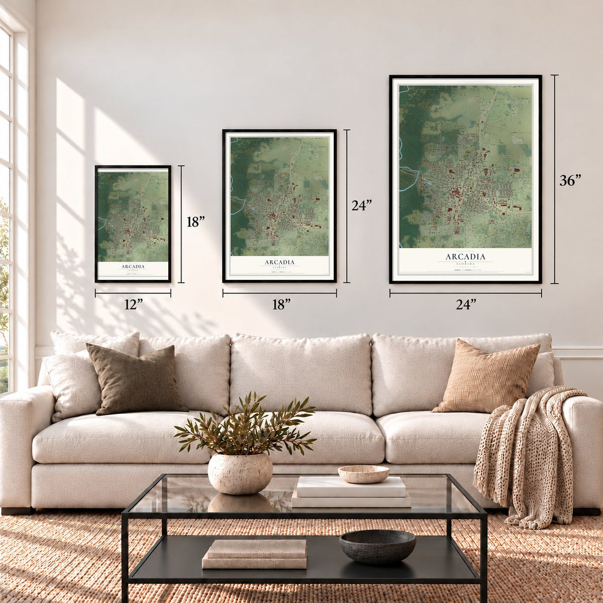
Three ways to hang it
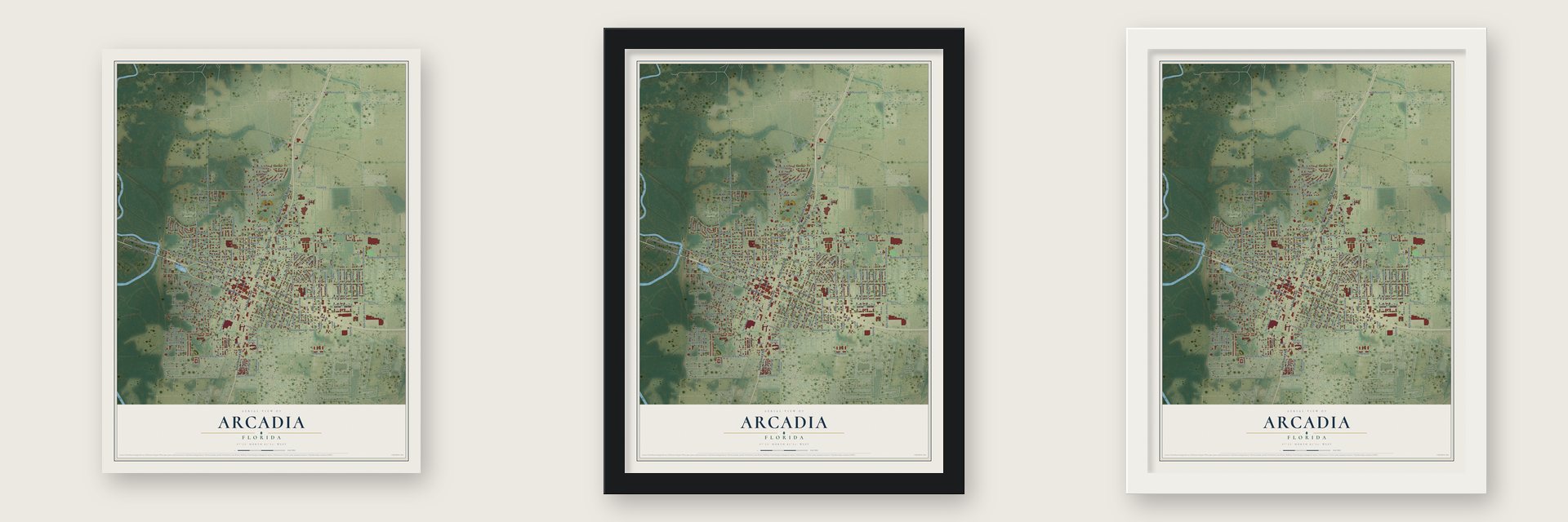
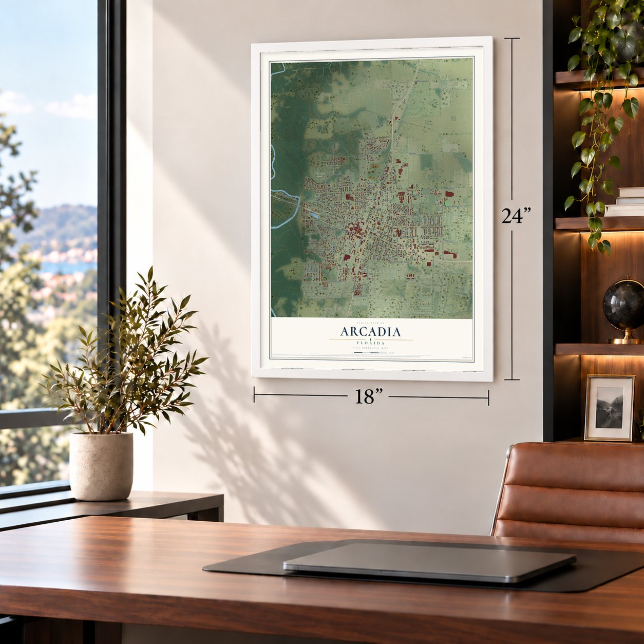
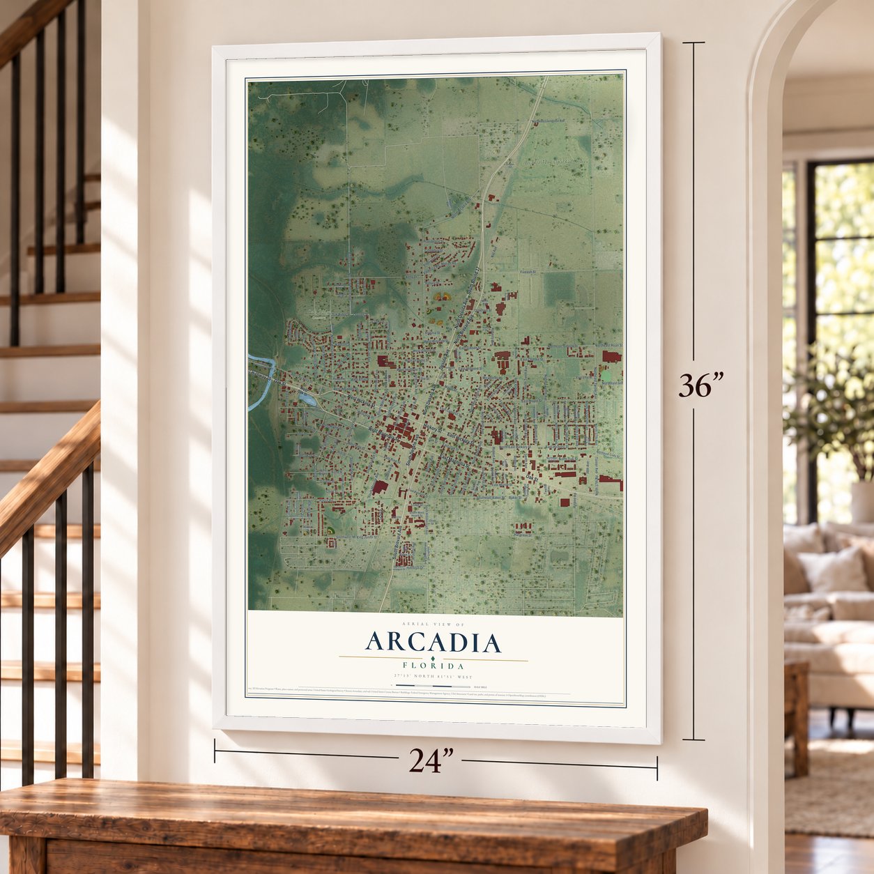
Unframed archival matte, a black wood frame or a white wood frame.
Up close
Geography Worth Displaying
This map was created using accurate cartographic data and authoritative geographic sources, including the U.S. Geological Survey (USGS) and FEMA. The map brings together terrain, waterways, roads, and building detail. The majority of the streets are labeled, houses are accurately depicted, and the topography is derived from government sources. Combining local data with carefully composed color and shading leads to this beautifully detailed Arcadia artwork for your wall.
Rather than simply showing street outlines, we’ve included as many of the street names as we could reasonably fit on the map while keeping their names legible. Zoom in on the high resolution preview to see exactly what’s on the map. We truly set out to create a statement piece for anyone who loves Arcadia. So whether it’s for you, or a gift for someone you love, we hope this map of Arcadia brings back fond memories.
Explore the full map of Arcadia, Florida and read about the local places it shows.
Find your street
Names on the Arcadia map
Every name below is printed on this map. Look for your street, your school, the park where you played, or the pond down the road.
Places and landmarks2
- Oak Ridge Cemetery
- Arcadia Municipal Golf Course
Streets and roads201
- West Hickory Street
- Oak Street
- Hickory Street
- North Brevard Avenue
- South Brevard Avenue
- North Desoto Avenue
- South Desoto Avenue
- Desoto Avenue
- West Magnolia Street
- East Magnolia Street
- North Desota Avenue
- South Bound 17
- Northwest Highway 70
- East Hickory Street
- East Cypress Street
- North Wilson Avenue
- North Lee Avenue
- North 17th Avenue
- Waldron Street
- Polk Avenue
- Levines Street
- North East Hickory Street
- North Johnson Avenue
- North Twelfth Avenue
- Tenth Avenue
- East Maple Street
- Northeast Turner Avenue
- Northeast Gibson Street
- Polk Street
- Turner Avenue
Show all 201 streets
- East Gibson Street
- North 17th Road
- West Gibson Street
- Clark Lane
- El Verano Avenue
- Southeast Baker Street
- North Arcadia Avenue
- Maple Street
- Hibiscus Drive
- Hillsborough Avenue
- Eighth Avenue
- Gloria Avenue
- North Smith Avenue
- Baker Street
- Roger Avenue
- O'Leary
- Lasolona Avenue
- West Oak Street
- East Oak Street
- Park Place
- West Pine
- South Dade Avenue
- West Pine Street
- North Monroe Avenue
- West Bay Street
- South Monroe Avenue
- South Lee Avenue
- Bond Street
- Spring Avenue
- Fortuna Avenue
- North Mills Avenue
- West Whidden Street
- East Myrtle Street
- Volusia Avenue
- West Imogene Street
- South Manatee Avenue
- South Orange Avenue
- Bridle Path
- North Oak Street
- East Pine Street
- North 15th Avenue
- East Charles Street
- Eleventh Avenue
- Oak Ridge Street
- Kelly Drive
- North Orange Avenue
- Robert Avenue
- Fiveash Street
- Harris Road
- La Salona Avenue
- American Legion Drive
- North Tenth Avenue
- West Granger Street
- North Hernando Avenue
- Northeast Roan Street
- North Polk Avenue
- West Winifred Street
- Court Street
- South Hernando Avenue
- West Effie Street
- Columbia Drive
- Nat Avenue
- Macon Road
- Parker Avenue
- North Dade Avenue
- Northeast Goolsby Street
- North 14th Avenue
- Providence Street
- North 13th Avenue
- North Sixteenth Avenue
- Southwest Ml King Junior Street
- West Myrtle Street
- Singleton Avenue
- Valdosta Road
- South Mills Avenue
- McKinley Avenue
- Potter Avenue
- Citrus Avenue
- Roberts Avenue
- Gordon Street
- Tillis Street
- 16th Avenue
- South Osceola Avenue
- South Pasco Avenue
- North Pasco Avenue
- Asbury Street
- North Marshall Avenue
- Hargrave Street
- Dickhaut Street
- Rio Vista Road
- Virginia Street
- Lincoln Avenue
- Effie Street
- Ash Street
- Arizona Avenue
- East Imogene Street
- Miraflores Road
- Lowe Street
- Manatee Avenue
- Mizelle Avenue
- Sunset Avenue
- Ohara Avenue
- Airport Road
- Wilson Avenue
- North Lee Street
- Southeast Tenth Avenue
- South East Hillsborough Avenue
- Luther Avenue
- South Hillsborough Avenue
- Jordan Avenue
- Oakridge Street
- Hodges Street
- Parkview Road
- North Eleventh Avenue
- North Thirteenth Avenue
- North Fourteenth Avenue
- South Watson Avenue
- West Baldwin
- North Manatee Avenue
- West Bond Street
- Northeast Livingston Avenue
- South Sumter Avenue
- South Robert Avenue
- Ridgewood Drive
- Northeast Cody Street
- South West Heard Street
- Glendora Avenue
- North Roger Avenue
- North Luther Avenue
- North Fifteenth Avenue
- North 16th Avenue
- Monroe Avenue
- South Polk Street
- Mills Avenue
- East Palmetto Street
- North Volusa Avenue
- Twelfth Avenue
- East Effie Street
- Pepper Avenue
- Stirrup Way
- Sevilla Avenue
- Serena Drive
- Maine Street
- Garrison Street
- Robinson Court
- Palm Avenue
- Iowa Avenue
- Olive Street
- Johnson Avenue
- Southwest Hibiscus Drive
- Owens Avenue
- Northeast Oak Street
- Imogene Street
- Northwest American Legion Drive
- North Osceola Avenue
- Griffin Street
- West Magnolia Avenue
- Washington Avenue
- La Solona Avenue
- Reynolds Street
- Holton Street
- Yule Yule Avenue
- South Margus
- Mantee Avenue
- Nursing Home Drive
- Goolsby Street
- Pleasant Circle
- South Luther Avenue
- Douglas Avenue
- Hackamore Drive
- Goolsby Drive
Names are listed as they appear on the printed map. Zoom into the product photos to find them.
About Arcadia, Florida
Arcadia, a city of 7,420 people on the Peace River, is the county seat of DeSoto County. Its name came from the Rev. James Madison "Boss" Hendry, who chose it to honor Arcadia Albritton, whose parents, Thomas H. and Fannie Albritton, were pioneer settlers. Growth came with the Florida Southern Railway, which reached town in 1886 on its line between Bartow and Punta Gorda, and Arcadia was incorporated soon after. For years it served as county seat for a huge stretch of ranch country, until a 1921 law carved Charlotte, Hardee, Glades and Highlands counties out of that land and left Arcadia the seat of DeSoto.
On Thanksgiving Day in 1905, a fire broke out in a livery stable in the middle of town. Arcadia had no working water system and no fire department, so the flames swept through much of the business district and caused an estimated $250,000 in damage, though no one died. The town took years to recover. Its downtown along Oak Street is grander than those of nearby county seats, since Arcadia is older and once governed their land.
“Arcadia had baked him a cake for his birthday, and he appreciated it so much that he named the city after her.”
- Carlstrom Field, 1917The Army Air Service opened Carlstrom Field, a grass airfield named for the aviation pioneer Victor Carlstrom, in 1917 and ran it until 1922. In October 1919 the Kettering Bug, an early unmanned aircraft counted among the first cruise missiles, was tested and launched there. The field came back to life in 1941 under the Riddle Aeronautical Institute, and its first class graduated that August. It taught flying to Royal Air Force cadets until 1945.
- 23 RAF cadets at Oak RidgeTwenty-three British cadets who died while learning to fly in the United States lie in Oak Ridge Cemetery. Each Memorial Day the town holds a ceremony for them beside a special marker, and John Paul Riddle, whose institute ran the field, has his own marker among their graves.
- Built of heart yellow pineMicajah T. Singleton came to Arcadia in 1888 from a prominent North Georgia family to run the Peace River Phosphate Company. His 1891 home, framed in heart yellow pine, stands at 711 West Hickory Street, and it is one of Arcadia's last big frame houses from pioneer days. On North Arcadia Avenue, the Johnson-Smith House, a Folk Victorian of two stories built about 1892, joined the National Register in 2013.
- Hurricane Charley in 2004In 2004 the eye of Hurricane Charley passed over Arcadia, with winds measured at 109 mph. The Turner Agri Civic Center, the city's only shelter, collapsed, and people moved to DeSoto County High School until part of its roof gave way too. The storm destroyed or badly damaged 3,600 homes and displaced 16,000 people. Residents fed one another and rebuilt, and downtown came back, though recovery took about 12 years.
- No man is above the lawChesterfield Smith was born and raised in Arcadia, and in 1973 he took office as president of the American Bar Association. After the Saturday Night Massacre, newspapers across the country carried his declaration, "no man is above the law."
Keep exploring Florida
Arcadia is one of 1,067 Florida towns we've mapped. Every dot on the map is a print of its own.
The search covers every state, Florida first.
Near Arcadia
Order 2 or more town maps and save 10%. Shown in the size and finish you picked above, so they hang as a set.
- Southeast Arcadia 12" x 18" / Archival Matte Print $39.99
- Nocatee 12" x 18" / Archival Matte Print $39.99
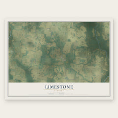
- Limestone 12" x 18" / Archival Matte Print $39.99
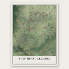
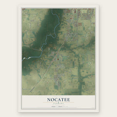
More maps nearby: Gardner, Deep Creek, Harbour Heights, Ona and Zolfo Springs.
The art of mapping a place
How This Map Was Made
Real places. Remarkable detail. Discover the layers that turn geographic data into a map of home.

The view from above
Aerial imagery reveals the character of the land: woodland, open fields, and the patterns of a place.

The shape of the land
Elevation data brings hills, valleys, and subtle changes in the landscape into view.

The details of home
Roads, waterways, and building footprints come together to make the map feel unmistakably local.

Geography becomes art
Considered color, shading, and typography bring the layers together in a map made for your wall.


Process illustrated with Mendon, Massachusetts. Aerial imagery: USDA NAIP. Terrain: USGS 3D Elevation Program. Map details and finished artwork: KNOWOL.
The Details
About This Print
Choose an archival matte print, or a black or white Ayous wood frame. The archival matte print is unframed.
Select your size and finish above to see the matching product image and price.
Materials & Craftsmanship
A contemporary map with the character of a classic atlas, printed on archival matte paper. Optional frames are made from Ayous wood.
Your printed map does not include the watermark shown in the full-map preview.
Shipping & Delivery
Free shipping within the United States. Every print is made to order in the USA.
Buying a gift? Add a note in your cart and we'll include it. We never put prices in the package.
Prints ship within 2 to 3 business days. Allow 7 to 10 days total from ordering for delivery. Timing may vary during holidays or periods of high order volume.
Read our shipping policy.
Returns and damaged prints
Each print is made to order. Change-of-mind refunds are not available after production.
If your print arrives damaged, misprinted or incorrect, contact support@knowol.com within 30 days of receiving it. Include your order number, photos and a description of the issue.
Read our full refund and replacement policy. For questions about your order, email support@knowol.com.