
Search for another town




Free U.S. delivery 7 to 10 days after you order
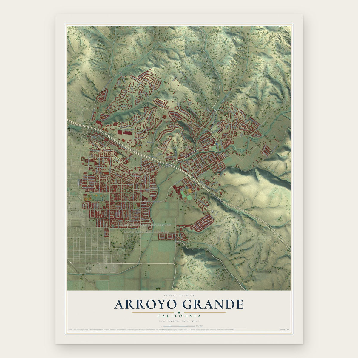
Arroyo Grande, California Map Art
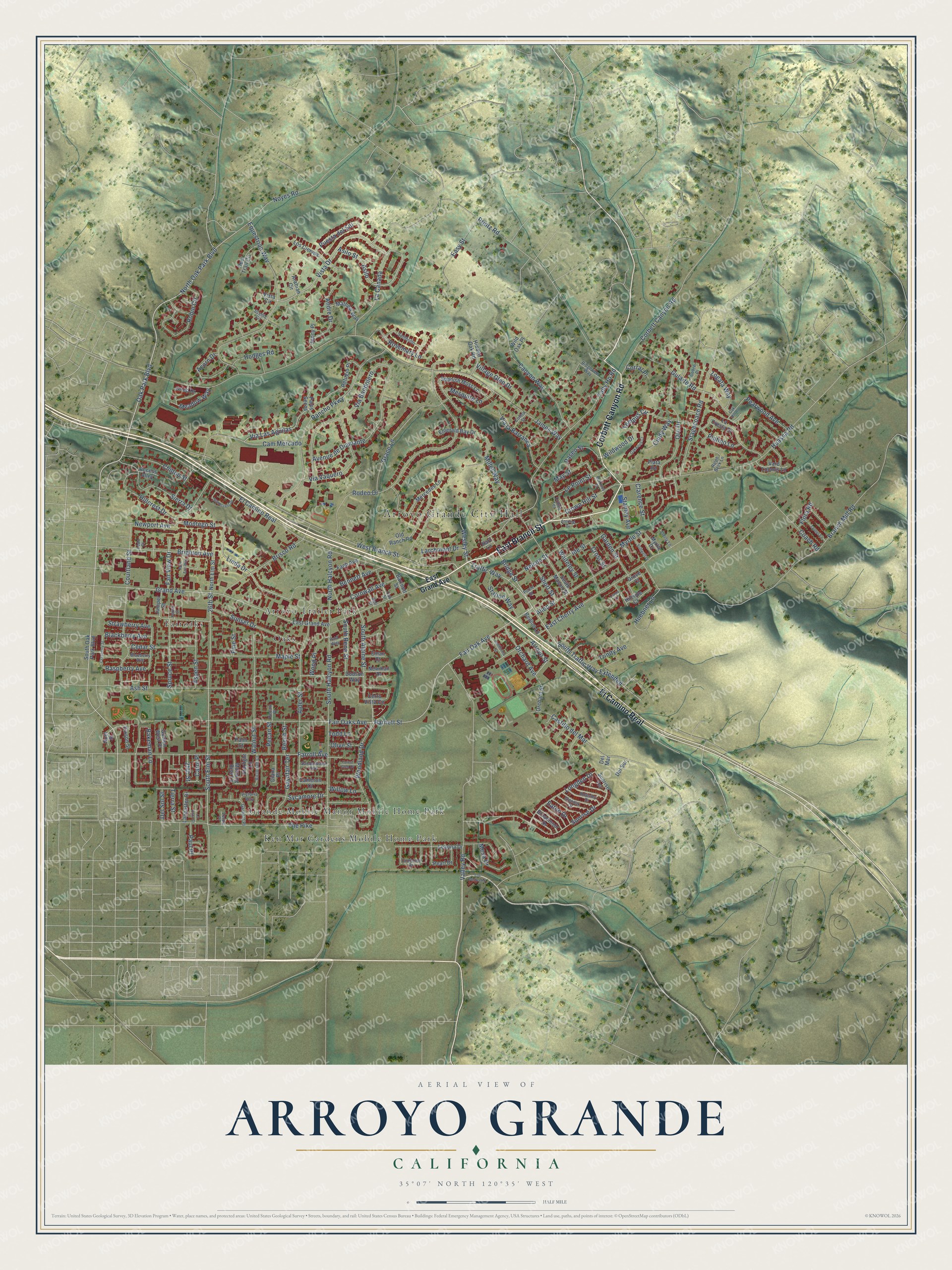
A new map of Arroyo Grande, California, made in 2026 and printed to order on thick archival matte paper.
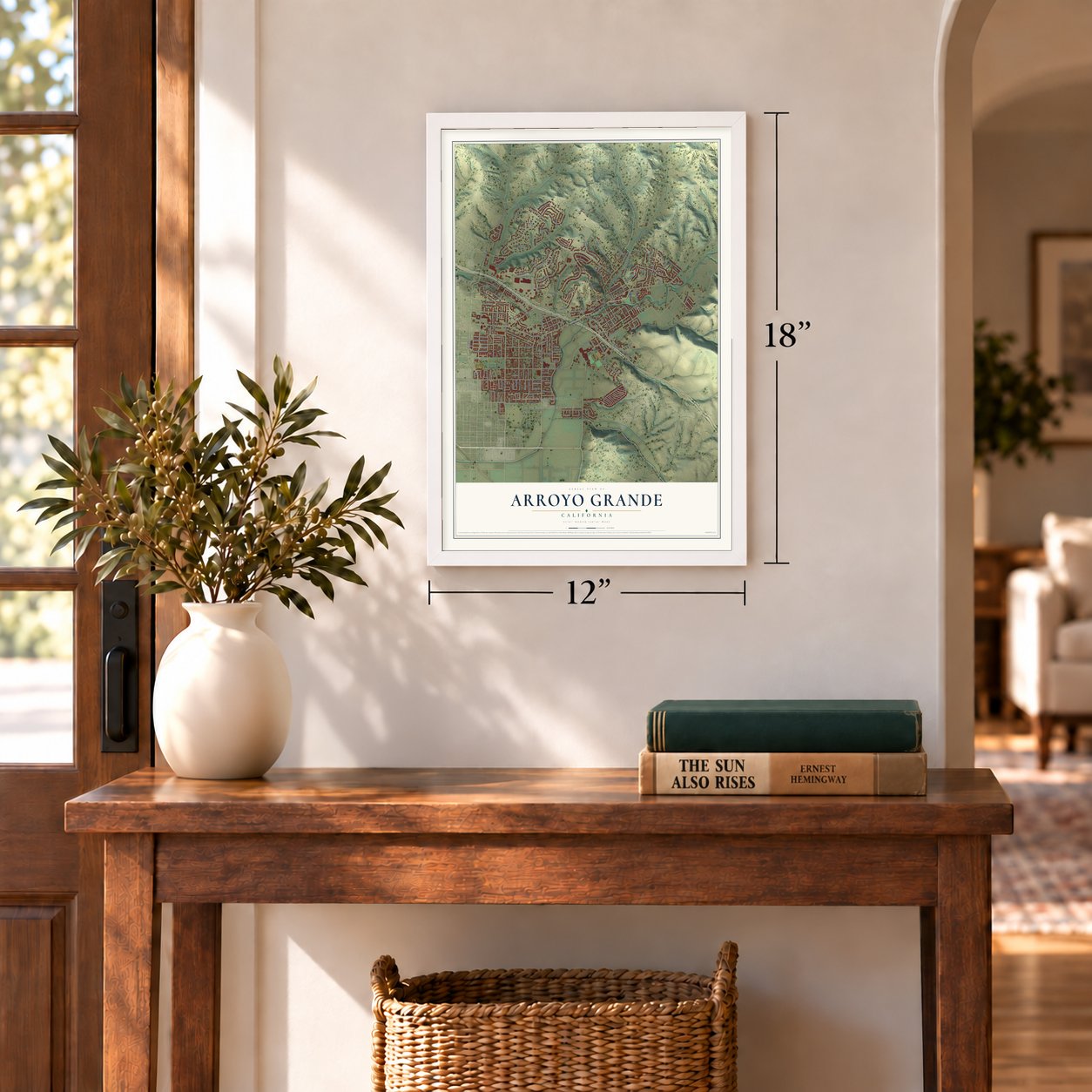
12" x 18" Archival Matte Print
A Map of Home. A Work of Art.
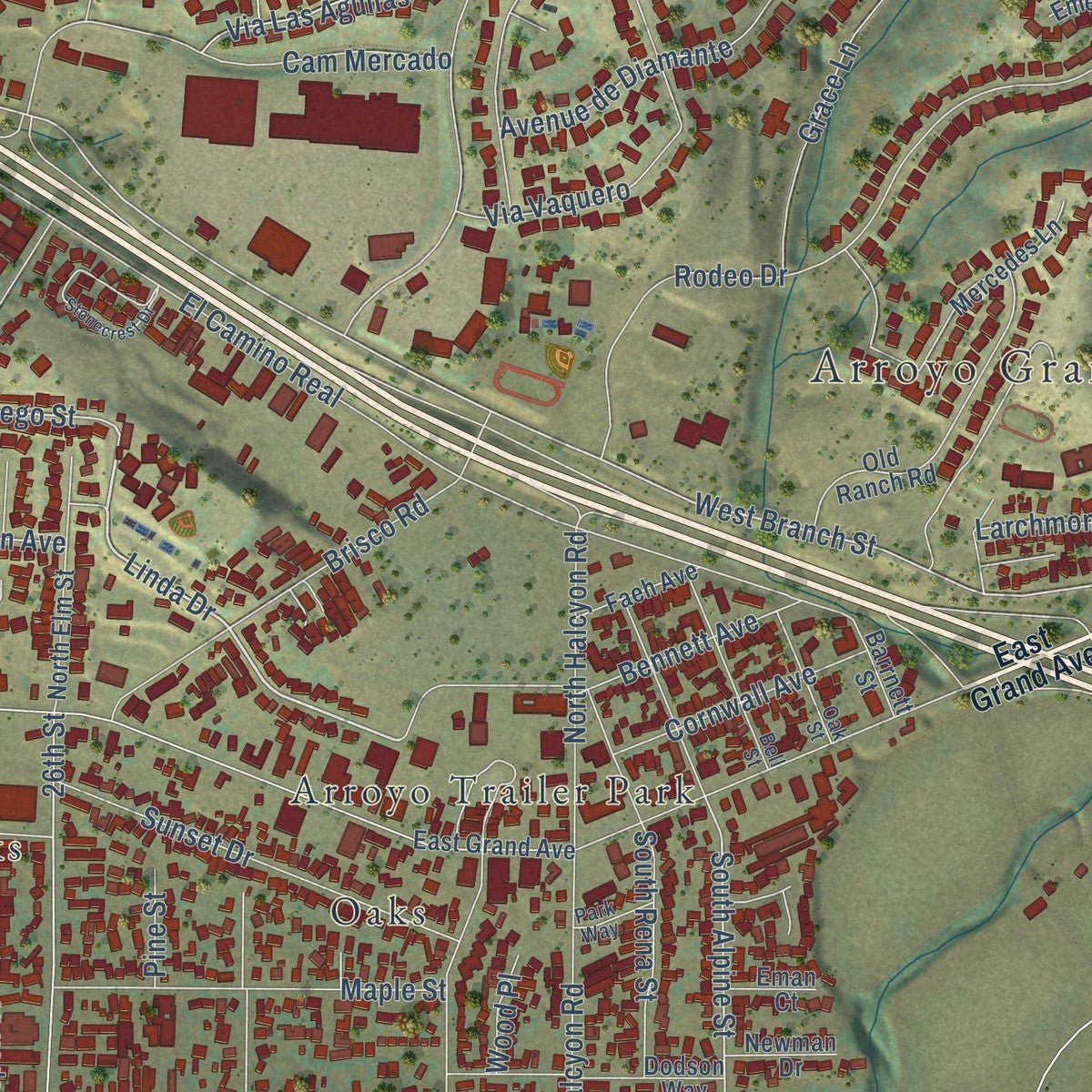
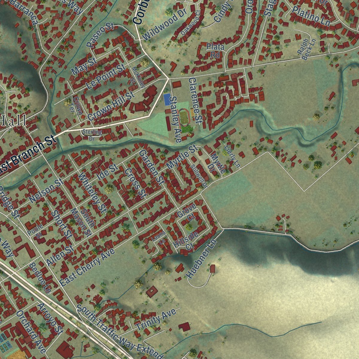
Explore Arroyo Grande, California from a whole new perspective. Created using aerial imagery and detailed geographic data, this map captures Arroyo Grande building by building, with labeled streets, familiar landmarks, and shaded topographical relief that highlights the natural contours of the landscape.
Combining modern data with the timeless character of a vintage atlas, this map is just as interesting up close as it is beautiful on the wall. Whether you grew up in Arroyo Grande, spent memorable years there, or call it home today, this unique map is a great way to celebrate a place that means something to you. Zoom in on the preview to look for your street, and then order a print to put your memories on the wall.
Three ways to hang it
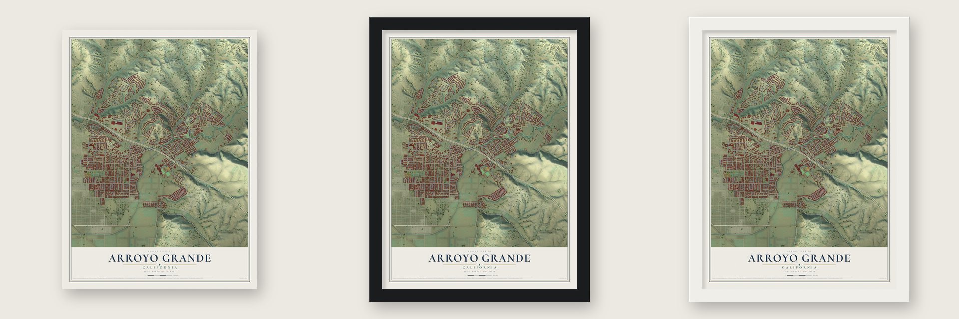
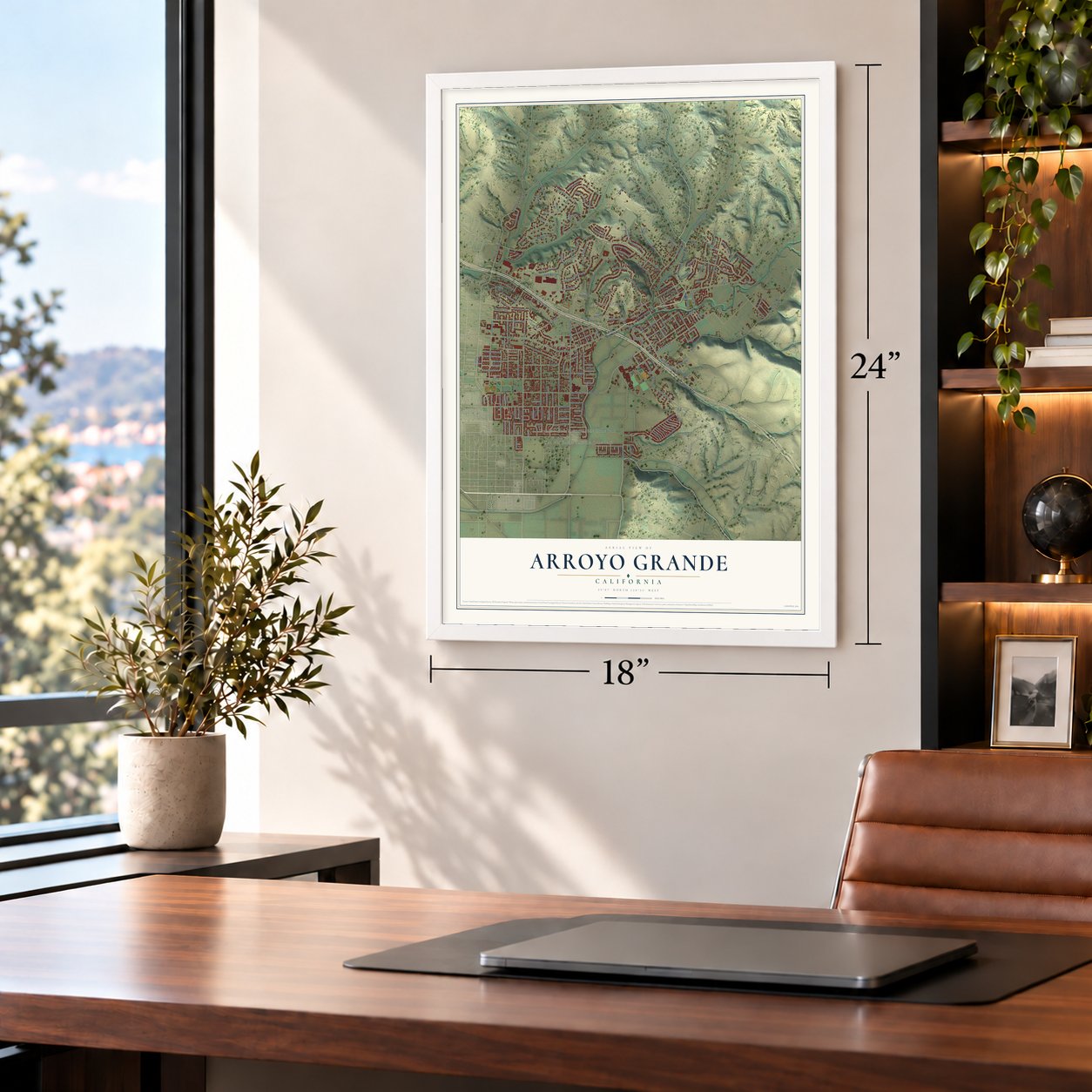
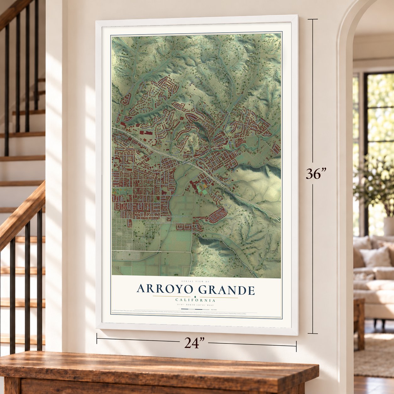
Unframed archival matte, a black wood frame or a white wood frame.
Up close
Geography Worth Displaying
This map was created using accurate cartographic data and authoritative geographic sources, including the U.S. Geological Survey and the Census Bureau. The map brings together terrain, waterways, roads, and building detail. The majority of the streets are labeled, houses are accurately depicted, and the topography is derived from government sources. Combining local data with carefully composed color and shading leads to this beautifully detailed Arroyo Grande artwork for your wall.
Rather than simply showing street outlines, we’ve included as many of the street names as we could reasonably fit on the map while keeping their names legible. Zoom in on the high resolution preview to see exactly what’s on the map. We truly set out to create a statement piece for anyone who loves Arroyo Grande. So whether it’s for you, or a gift for someone you love, we hope this map of Arroyo Grande brings back fond memories.
Read the story behind this map of Arroyo Grande, California from 2026.

About Arroyo Grande, California
Arroyo Grande is a city of 18,441 people in San Luis Obispo County, about 2 miles from the Pacific Ocean. Its name is Spanish for "Big Creek," and the valley is part of the homeland of the Northern Chumash. In the Mexican period, Francis Ziba Branch built an adobe on Rancho Santa Manuela in 1841. Rancho Arroyo Grande went to Zeferino Carlón in 1842, and Branch bought that rancho too a year later.
The county created Arroyo Grande Township in 1862, and Branch laid out the town in 1867. Stores on Branch and Bridge streets supplied the farms around it. The narrow-gauge Pacific Coast Railway put a depot at the east end of the Village in 1882 and began regular passenger trains in April 1883, while its freight cars carried local crops to market. Arroyo Grande incorporated as a city on July 10, 1911.
- The Swinging Bridge, 1875The Short family built the first bridge over Arroyo Grande Creek in 1875 to join the parts of their land. Today the city owns the footbridge at Centennial Park, which is 171 feet long and hangs about 40 feet above the water. Repairs began in May 2024, and it reopened on August 2, 2024.
- The Odd Fellows' hallIn 1901 the town's Odd Fellows lodge had sixty-six members, and they decided it was time for a permanent home. The Arroyo Grande IOOF Hall joined the National Register in 1991 and is now one of five museums run by the South County Historical Society.
- Rosario Cooper's languageRosario Cooper, a Chumash woman who spoke tiłhini, spent the years from 1912 to 1917 recording it with John P. Harrington, a language scholar who visited her house outside town. The Smithsonian keeps his records of her words, songs and memories. A Northern Chumash tribe, yak titʸu titʸu yak tiłhini, chose its name from those records and bases its effort to bring the language back on what she taught.
- Japanese farm families in 1942Japanese immigrants and their children farmed around Arroyo Grande, and the Hayashi family worked more than 100 acres by 1942. That year the federal government forced Japanese Americans from the area, and approximately 200 people from Arroyo Grande were held at the Tulare detention facility. Those who came back after the war still met prejudice.
- A Grateful Dead lyricistRobert Hunter, the lyricist and singer-songwriter, was born in Arroyo Grande. The actors Zac Efron and Harry Shum Jr. grew up here, and so did Jimy Williams, who played and managed in major league baseball.
Find your street
Names on the Arroyo Grande map
Every name below is printed on this map. Look for your street, your school, the park where you played, or the pond down the road.
Places and landmarks6
- Arroyo Grande City Hall
- Arroyo Trailer Park
- Fairoaks
- Grande Mobile Manor Mobile Home Park
- Ken Mar Gardens Mobile Home Park
- Oaks
Streets and roads221
- East Branch Street
- Corbett Canyon Road
- El Camino Real
- Oak Park Boulevard
- South Traffic Way Extended
- Traffic Way
- Bridge Street
- Linda Drive
- Asilo Street
- Noyes Road
- Arroyo Street
- North Oak Park Boulevard
- Vista Drive
- Le Point Street
- Montego Street
- West Branch Street
- South Alpine Street
- James Way
- Fair Oaks Avenue
- Grand Avenue
- East Cherry Avenue
- Branch Mill Road
- Rodeo Drive
- 26th Street
- South Elm Street
- Barnett Street
- Farroll Avenue
- Rancho Parkway
- Equestrian Way
- South Halcyon Road
Show all 221 streets
- Fair Oak Avenue
- Huasna Road
- Ash Street
- The Pike
- Tally Ho Road
- Courtland Street
- Sunrise Drive
- Alder Street
- Avenue de Diamante
- Valley Road
- Hillcrest Drive
- Via Bandolero
- Bakeman Lane
- Canyon Way
- Grace Lane
- Woodland Drive
- Walnut Street
- Via Las Aguilas
- Oro Drive
- Gularte Road
- Brisco Road
- Stagecoach Road
- Longden Drive
- Cam Mercado
- Bennett Avenue
- Via Vaquero
- Platino Lane
- Brighton Avenue
- Sunset Drive
- Sierra Drive
- Robin Circle
- Castillo del Mar
- Allen Street
- Miller Way
- La Canada
- Maple Street
- Garden Street
- Huebner Lane
- Easy Street
- Crown Hill Street
- Coach Road
- North Halcyon Road
- Nelson Street
- Sycamore Drive
- Spruce Street
- Gaynfair Terrace
- Via la Barranca
- Tempus Circle
- Short Street
- Chilton Street
- Cedar Street
- Acorn Drive
- Aspen Street
- Puesta del Sol
- Andre Drive
- Cornwall Avenue
- Rosemary Lane
- Village Glen Drive
- Station Way
- South Rena Street
- Asilo
- Mesquite Lane
- Orchard Avenue
- Paseo Street
- Wesley Street
- Pearwood Avenue
- Fair View Drive
- Paul Place
- Whiteley Street
- Trinity Avenue
- Meadow Way
- Newport Avenue
- Blackberry Avenue
- Zogata Way
- Printz Road
- Hodges Road
- Stanley Avenue
- Wildwood Drive
- Tierra Street
- Ide Street
- Mesa Drive
- Larchmont Drive
- Raspberry Avenue
- Strawberry Avenue
- Cindy Way
- 25th Street
- May Street
- Myrtle Street
- Willow Lane
- Clarence Street
- Todd Lane
- Del Sol Street
- Beech Street
- Pecan Street
- Olive Street
- Eaton Drive
- Cross Street
- Flora Road
- Wood Place
- Corral Place
- Pine Street
- Carol Place
- East Grand Avenue
- South Oak Park Boulevard
- Cerro Vista Circle
- Mercedes Lane
- Old Ranch Road
- South Mason Street
- La Cresta Drive
- Leanna Drive
- Dodson Way
- North Elm Street
- Pearl Drive
- Los Ciervos
- Spanish Moss Lane
- Lancaster Drive
- Access Alley
- Sunrise Terrace
- Hidden Oak Road
- Refugio Place
- Mathew Way
- Emerald Bay Drive
- Orchard Street
- Dixson Street
- Morning Rise Lane
- Starlight Lane
- Deer Trail Circle
- Vard Loomis Lane
- Diana Place
- Grieb Drive
- Faeh Avenue
- Broadmoor Drive
- Hillside Court
- Cameron Court
- Golden West Place
- Palos Secos
- Myrtle Drive
- Arabian Circle
- Jenny Place
- Juniper Street
- Newman Drive
- Bedloe Lane
- Barrnett Street
- Wild Oak Place
- Eman Court
- Palm Court
- Del Sur
- Noel Street
- Vista Circle
- Grove Court
- Plata Road
- Hart Lane
- Del Mar
- Garfield Place
- Turquoise Drive
- Poole Street
- Bell Street
- Sombrillo
- Innesley Drive
- Victoria Way
- Glenoak Drive
- Ridgeview Way
- Oak Street
- Victorian Court
- Crown Terrace
- Ralph Beck Lane
- Sandalwood Avenue
- Blueberry Avenue
- Colina Street
- Cobre Place
- Lierly Lane
- Park Way
- Pecan Place
- Scenic Circle
- Verde Place
- Ledo Place
- Poplar Street
- Stonecrest Drive
- Los Berros Road
- Launa Lane
- Oak Hill Road
- Ruth Ann Way
- Cranberry Street
- McKinley Street
- Tanner Lane
- Stillwell Drive
- Oakwood Court
- California Street
- Sterling Drive
- Forest Glen Drive
- La Vista Court
Names are listed as they appear on the printed map. Zoom into the product photos to find them.
The art of mapping a place
How This Map Was Made
Real places. Remarkable detail. Discover the layers that turn geographic data into a map of home.

The view from above
Aerial imagery reveals the character of the land: woodland, open fields, and the patterns of a place.

The shape of the land
Elevation data brings hills, valleys, and subtle changes in the landscape into view.

The details of home
Roads, waterways, and building footprints come together to make the map feel unmistakably local.

Geography becomes art
Considered color, shading, and typography bring the layers together in a map made for your wall.


Process illustrated with Mendon, Massachusetts. Aerial imagery: USDA NAIP. Terrain: USGS 3D Elevation Program. Map details and finished artwork: KNOWOL.
The Details
About This Print
Choose an archival matte print, or a black or white Ayous wood frame. The archival matte print is unframed.
Select your size and finish above to see the matching product image and price.
Materials & Craftsmanship
A contemporary map with the character of a classic atlas, printed on archival matte paper. Optional frames are made from Ayous wood.
Your printed map does not include the watermark shown in the full-map preview.
Shipping & Delivery
Free shipping within the United States. Every print is made to order in the USA.
Buying a gift? Add a note in your cart and we'll include it. We never put prices in the package.
Prints ship within 2 to 3 business days. Allow 7 to 10 days total from ordering for delivery. Timing may vary during holidays or periods of high order volume.
Read our shipping policy.
Returns and damaged prints
Each print is made to order. Change-of-mind refunds are not available after production.
If your print arrives damaged, misprinted or incorrect, contact support@knowol.com within 30 days of receiving it. Include your order number, photos and a description of the issue.
Read our full refund and replacement policy. For questions about your order, email support@knowol.com.
Find your town
Looking for another city?
Find a map of home in our California collection, or any town in the country.
Nearby
Maps of towns near Arroyo Grande
Know someone from one of these towns? Their map makes a great gift.
 Grover Beach
, California
From $39.99See the map
 Oceano
, California
From $39.99See the map
 Los Berros
, California
From $39.99See the map
More maps nearby: Callender, Pismo Beach, Blacklake, Edna and Los Ranchos.