
Search for another town



Free U.S. delivery 7 to 10 days after you order
Athens-Clarke County, Georgia Map Art
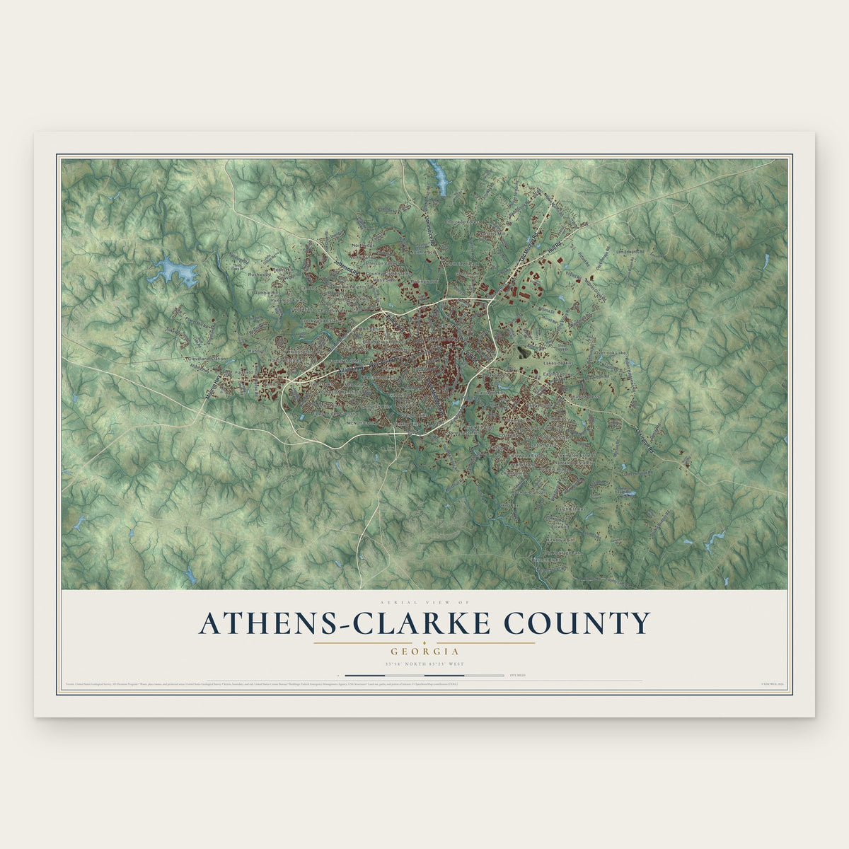
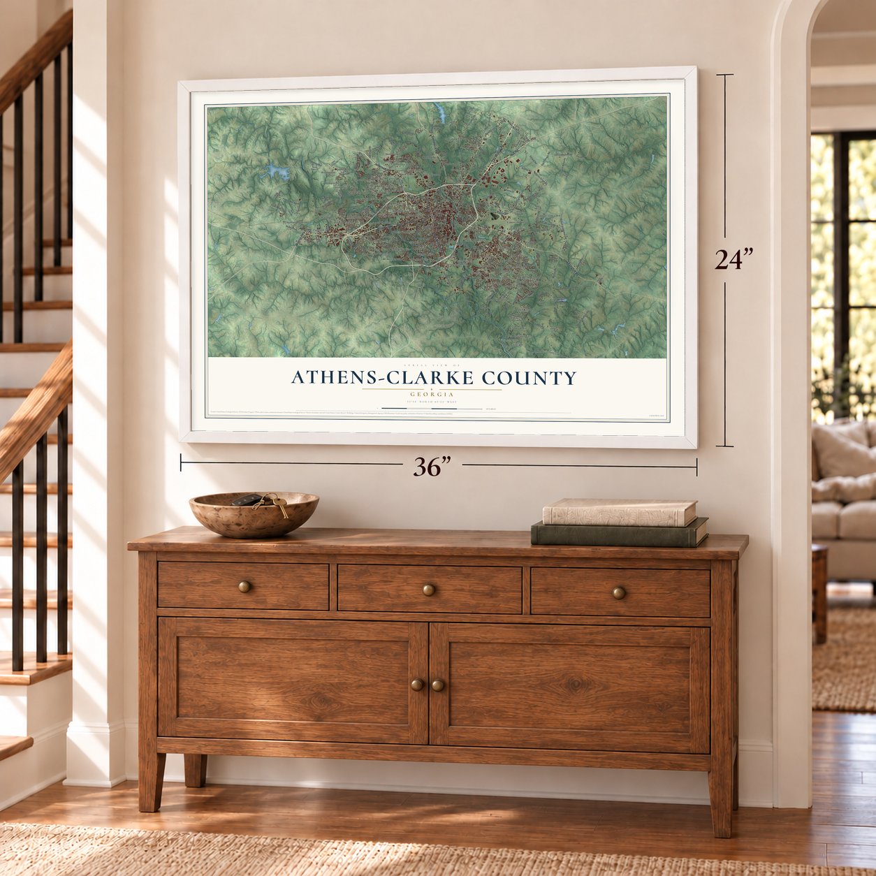
A new map of Athens-Clarke County, Georgia, made in 2026 and printed to order on thick archival matte paper.
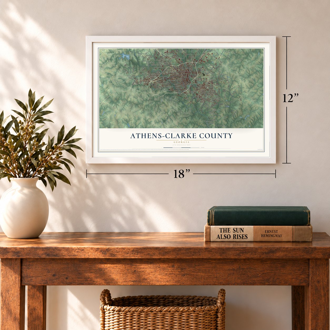
12" x 18" Archival Matte Print
A Map of Home. A Work of Art.
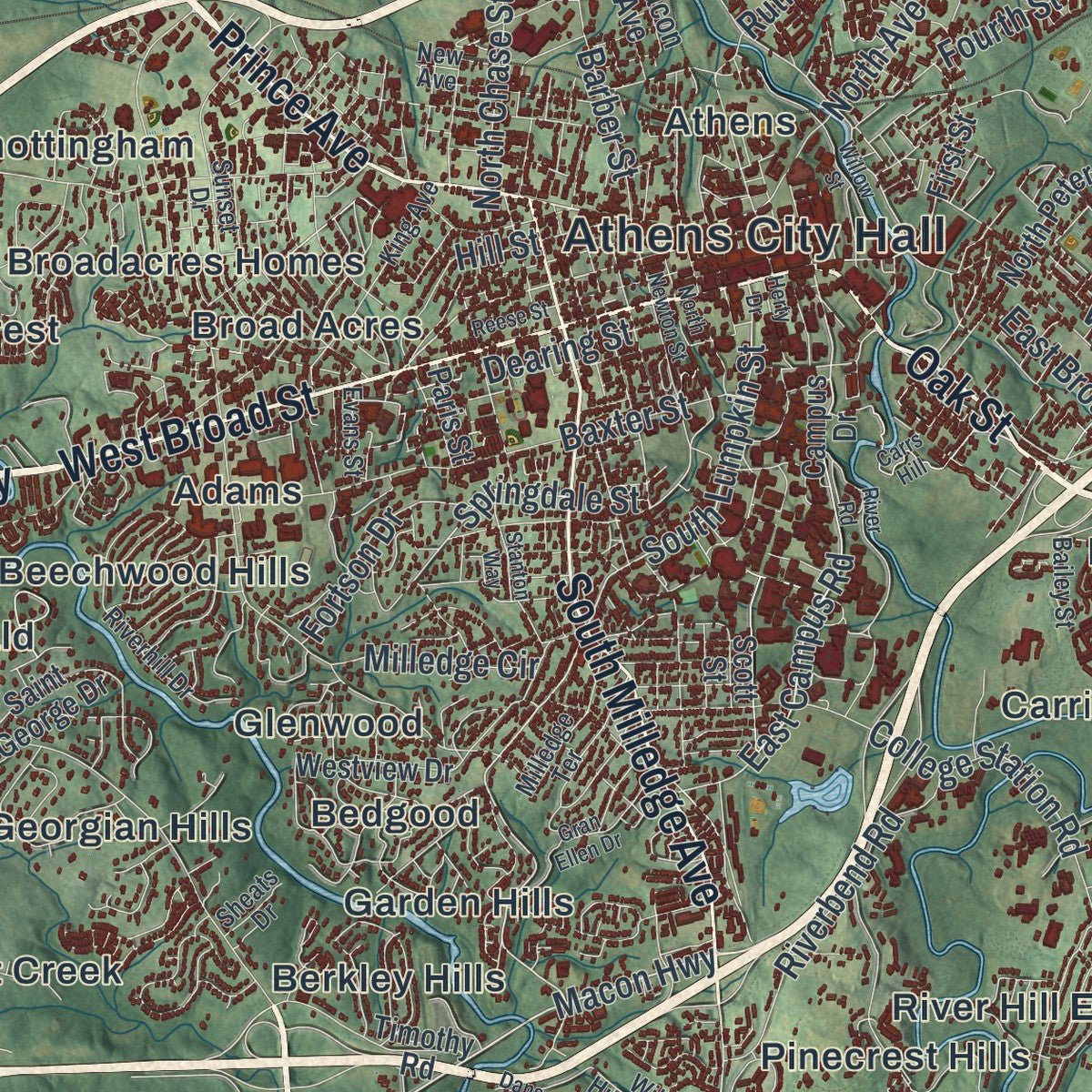
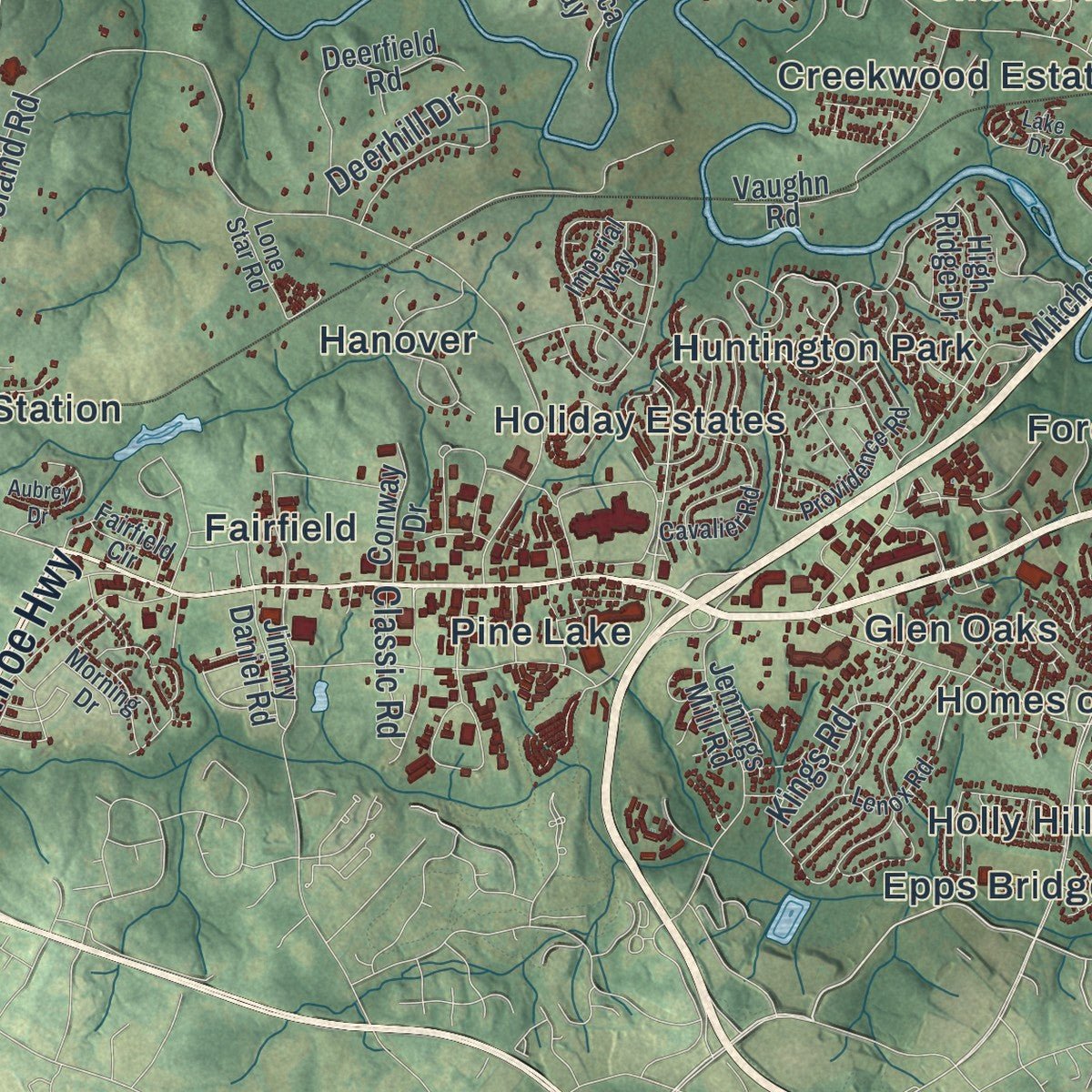
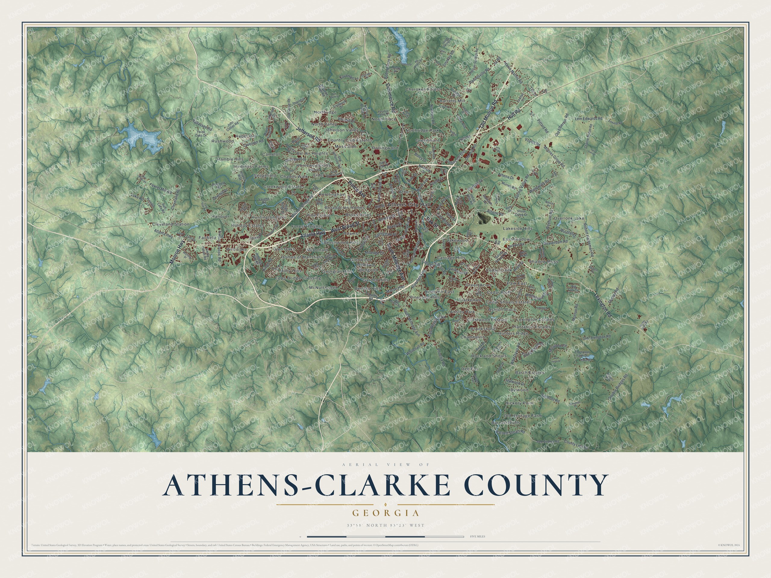
Explore Athens-Clarke County, Georgia from a whole new perspective. Created using aerial imagery and detailed geographic data, this map captures Athens-Clarke County building by building, with labeled streets, familiar landmarks, and shaded topographical relief that highlights the natural contours of the landscape.
Combining modern data with the timeless character of a vintage atlas, this map is just as interesting up close as it is beautiful on the wall. Whether you grew up in Athens-Clarke County, spent memorable years there, or call it home today, this unique map is a great way to celebrate a place that means something to you. Zoom in on the preview to look for your street, and then order a print to put your memories on the wall.
Three ways to hang it
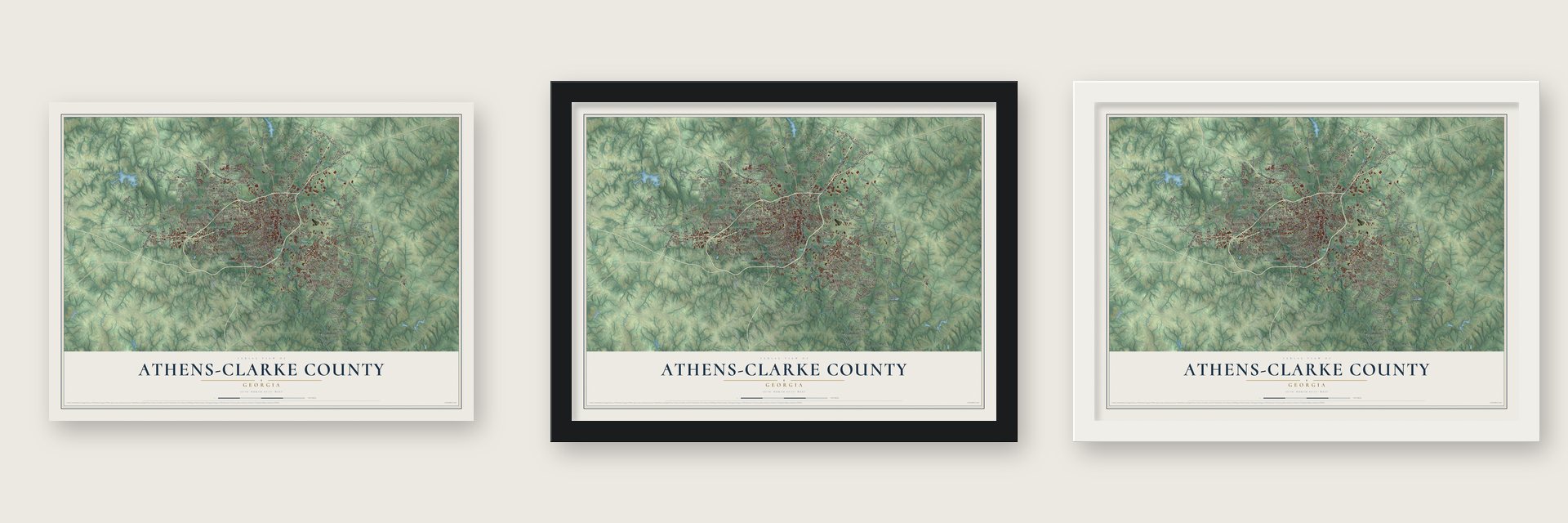
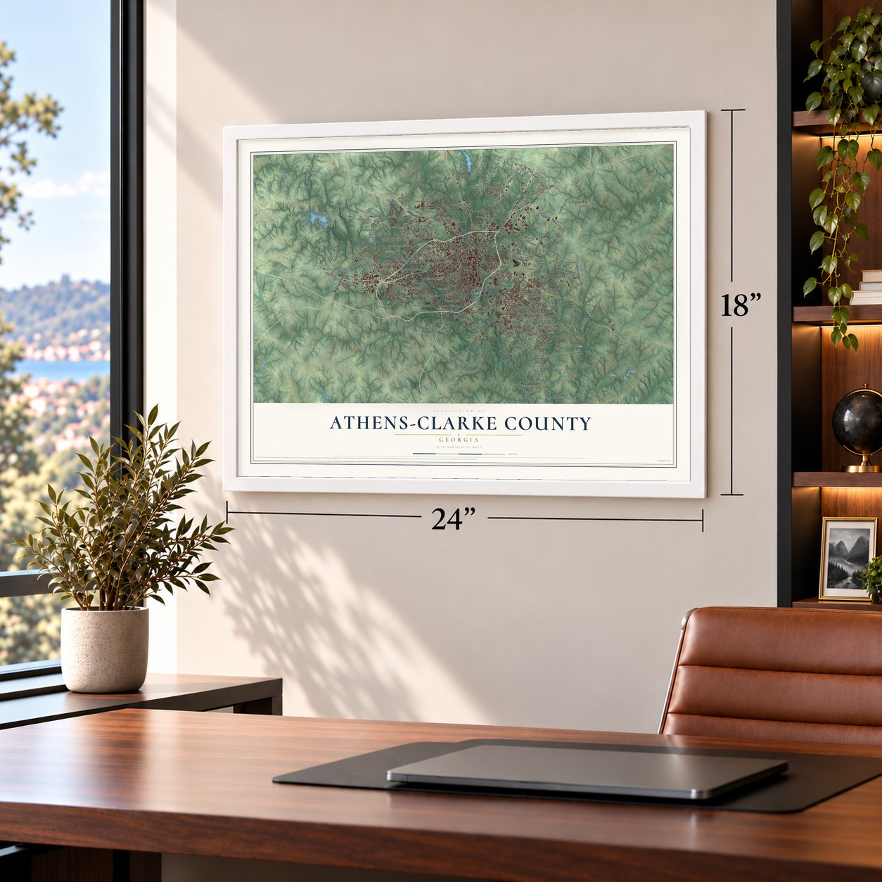
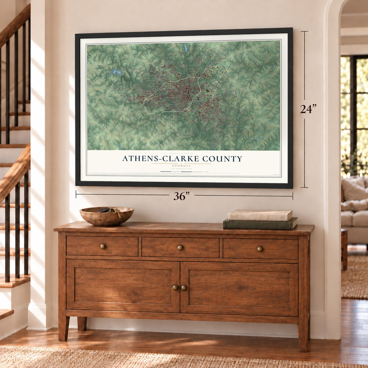
Unframed archival matte, a black wood frame or a white wood frame.
Up close
Geography Worth Displaying
This map was created using accurate cartographic data and authoritative geographic sources, including the U.S. Geological Survey (USGS) and FEMA. The map brings together terrain, waterways, roads, and building detail. The majority of the streets are labeled, houses are accurately depicted, and the topography is derived from government sources. Combining local data with carefully composed color and shading leads to this beautifully detailed Athens-Clarke County artwork for your wall.
Rather than simply showing street outlines, we’ve included as many of the street names as we could reasonably fit on the map while keeping their names legible. Zoom in on the high resolution preview to see exactly what’s on the map. We truly set out to create a statement piece for anyone who loves Athens-Clarke County. So whether it’s for you, or a gift for someone you love, we hope this map of Athens-Clarke County brings back fond memories.
Explore the full map of Athens-Clarke County, Georgia and read about the local places it shows.

About Athens-Clarke County, Georgia
Athens-Clarke County is a community in Clarke County, Georgia and the county seat of Clarke County. Athens-Clarke County was founded in 1881. The 2020 census recorded a population of 127,315.
- Founded in 1881Athens-Clarke County was founded in 1881.
- Clarke County seatAthens-Clarke County serves as the county seat of Clarke County.
- 127,315 peopleRecorded by the 2020 census.
Find your street
Names on the Athens-Clarke County map
Every name below is printed on this map. Look for your street, your school, the park where you played, or the pond down the road.
Places and landmarks77
- Athens City Hall
- Adams
- Ansley Park
- Ashton Place
- Athens
- Barch Estates
- Barnett Bluffs
- Barretts Mill
- Bedgood
- Beechwood Hills
- Bel Air Heights
- Berkley Hills
Show all 77 places
- Broad Acres
- Broadacres Homes
- Brookstone
- Camelot
- Carriage Hills
- Cedar Bluff
- Cedar Creek
- Cedar Shoals Estates
- Chadds Walk
- Chamberlin
- Cherokee Forest
- Clarkedale
- Cleveland Station
- Country Club Estates
- Creekwood Estates
- Crestwood Estates
- Eastmeadow
- Elder
- Epps Bridge Crossing
- Fairfield
- Forest Heights
- Garden Hills
- Georgian Hills
- Glen Oaks
- Glenwood
- Green Acres
- Greenmont
- Hanover
- Hickory Point
- Holiday Estates
- Holly Hills
- Homes of Mansfield
- Homewood Hills
- Hunters Ridge
- Huntington Park
- Idylwood
- Inverness Farms
- Jefferson Valley
- Knottingham
- Lakeside Hills
- Lakewood
- Lexington Estates
- McDonald
- McNutt Creek
- Moss Side
- North Place
- North Valley
- Northridge
- Northridge Park
- Old Heritage Farm
- Overlook Lake
- Park East
- Pine Forest
- Pine Lake
- Pinecrest Hills
- Plantation Estates
- Ramble Hills
- Rebel Hill
- Red Fox
- River Hill East
- Rock and Shoals
- Rollingwood
- Rushwood
- Sedgefield
- Shadow Moss
Streets and roads221
- Atlanta Highway
- Jefferson Road
- West Broad Street
- Prince Avenue
- Oak Street
- Monroe Highway
- Lexington Road
- Commerce Road
- Hull Road
- Old Monroe Road
- South Milledge Avenue
- Macon Highway
- South Lumpkin Street
- Winterville Road
- Athens Road
- Springdale Street
- County Line Road
- Double Bridges Road
- East Campus Road
- Beaverdam Road
- Weehunt Road
- Whitehall Road
- East Broad
- Barnett Shoals Road
- Tallassee Road
- Old Lexington Road
- Cleveland Road
- Danielsville Road
- Nowhere Road
- Morton Road
Show all 221 streets
- Spring Valley Road
- Olympic Drive
- Whit Davis Road
- Smokey Road
- Belmont Road
- Old Hull Road
- College Station Road
- Mitchell Bridge Road
- Athena Drive
- Lavender Road
- Fowler Mill Road
- Robert Hardeman Road
- Baxter Street
- Barber Street
- Lem Edwards Road
- Old Elberton Road
- Phoenix Road
- Kings Road
- Millstone Circle
- North Avenue
- Harve Mathis Road
- Voyles Road
- East Whitehall Road
- Vincent Drive
- Pittard Road
- Riverbend Road
- North Chase Street
- Idylwood Drive
- Quailwood Drive
- Collins Ind Boulevard
- Fourth Street
- Whisperwood Lane
- Falling Shoals Drive
- Vine Street
- Bob Holman Road
- Milledge Circle
- Moores Grove Road
- Dunlap Road
- Fortson Drive
- Dearing Street
- Ruth Street
- Research Drive
- Hill Street
- Deerhill Drive
- Boley Drive
- Linda Avenue
- Tim Lane
- Covenant Lane
- Windfall Drive
- Luke Road
- Classic Road
- Reed Street
- Ila Road
- Bob Godfrey Road
- First Street
- Oak Grove Road
- Saint George Drive
- North Peter Street
- Timothy Road
- Old Jefferson Road
- Newton Bridge Road
- Cherokee Road
- Jefferson River Road
- Charlie Bolton Road
- Gaines School Road
- Red Fox Run
- Campus Drive
- Freeman Drive
- Helican Springs Road
- Westview Drive
- Vaughn Road
- Deerfield Road
- Big Oak Circle
- Jessica Way
- Jennings Mill Road
- Thompson Farm Drive
- Frederick Drive
- Maple Forge Drive
- Shoal Creek Drive
- Rocky Drive
- Roberts Road
- Jimmy Daniel Road
- Murrell Road
- Beaver Trail
- John Collier Road
- Three Oaks Drive
- Tara Way
- Huff Lake Road
- Lawton Lane
- Hancock Road
- Martin Circle
- Indian Hills Road
- Lakeland Drive
- Northside Drive
- High Ridge Drive
- Catalpa Drive
- Hale Drive
- Conway Drive
- Thornhill Drive
- Dairy Pak Drive
- Merlin Drive
- Pinenut Lane
- Dobbs Drive
- Leann Drive
- Paris Street
- Macon Avenue
- Deer Parkway
- Scott Street
- Jail Road
- South Homewood Drive
- Walter Sams Road
- Old Commerce Road
- Riverhill Drive
- Sunset Drive
- Will Hunter Road
- Providence Road
- Timber Creek Drive
- Forest Road
- King Avenue
- Lone Star Road
- Cavalier Road
- Lenox Road
- No Where Road
- Ansley Drive
- Morning Drive
- Milledge Terrace
- Fairlane Drive
- Bailey Street
- Paradise Valley Road
- Cabin Drive
- Edwards Road
- Clifton Drive
- Wisteria Way
- Sheats Drive
- Campbell Drive
- Discovery Trail
- Sandy Springs Drive
- Fairfield Circle
- Evans Street
- Sanders Road
- Imperial Way
- Trans Tech Drive
- Taylor Lane
- Picasso Drive
- Bridges Walk
- Nabers Road
- Walker Drive
- Mabry Road
- Lillian Drive
- Elder Road
- New Avenue
- Hix Drive
- Weatherly Woods Drive
- Hobson Avenue
- Adair Street
- Charter Oak Drive
- Burkland Drive
- Sandstone Drive
- Club Drive
- Willow Street
- River Road
- Carrington Drive
- Carrs Hill
- Reese Street
- North Bluff Road
- Gran Ellen Drive
- Westwood Drive
- Skyline Parkway
- Campsite Drive
- North Newton Street
- Twin Oaks Lane
- Aubrey Drive
- College Circle
- Blue Heron Drive
- Meadow Creek Drive
- Bob Wages Road
- South Stratford Drive
- Stanton Way
- Cub Creek Drive
- Calvin Street
- Stroud Road
- Pettits Lane
- Oak Hill Drive
- Deckle Drive
- Rowe Road
- Kevin Lane
- Lake Drive
- Berry Drive
- Herty Drive
- Dans Way
- Star Drive
Names are listed as they appear on the printed map. Zoom into the product photos to find them.
The art of mapping a place
How This Map Was Made
Real places. Remarkable detail. Discover the layers that turn geographic data into a map of home.

The view from above
Aerial imagery reveals the character of the land: woodland, open fields, and the patterns of a place.

The shape of the land
Elevation data brings hills, valleys, and subtle changes in the landscape into view.

The details of home
Roads, waterways, and building footprints come together to make the map feel unmistakably local.

Geography becomes art
Considered color, shading, and typography bring the layers together in a map made for your wall.


Process illustrated with Mendon, Massachusetts. Aerial imagery: USDA NAIP. Terrain: USGS 3D Elevation Program. Map details and finished artwork: KNOWOL.
The Details
About This Print
Choose an archival matte print, or a black or white Ayous wood frame. The archival matte print is unframed.
Select your size and finish above to see the matching product image and price.
Materials & Craftsmanship
A contemporary map with the character of a classic atlas, printed on archival matte paper. Optional frames are made from Ayous wood.
Your printed map does not include the watermark shown in the full-map preview.
Shipping & Delivery
Free shipping within the United States. Every print is made to order in the USA.
Buying a gift? Add a note in your cart and we'll include it. We never put prices in the package.
Prints ship within 2 to 3 business days. Allow 7 to 10 days total from ordering for delivery. Timing may vary during holidays or periods of high order volume.
Read our shipping policy.
Returns and damaged prints
Each print is made to order. Change-of-mind refunds are not available after production.
If your print arrives damaged, misprinted or incorrect, contact support@knowol.com within 30 days of receiving it. Include your order number, photos and a description of the issue.
Read our full refund and replacement policy. For questions about your order, email support@knowol.com.
Find your town
Looking for another city?
Find a map of home in our Georgia collection, or any town in the country.
Nearby
Maps of towns near Athens-Clarke County
Know someone from one of these towns? Their map makes a great gift.
 Winterville
, Georgia
From $39.99See the map
 Hull
Hull, Georgia
From $39.99See the map
 Watkinsville
, Georgia
From $39.99See the map
More maps nearby: Arnoldsville, Bogart, Bishop, Colbert and North High Shoals.