
Search for another town





Free U.S. delivery 7 to 10 days after you order
Baltimore, Maryland Map Art
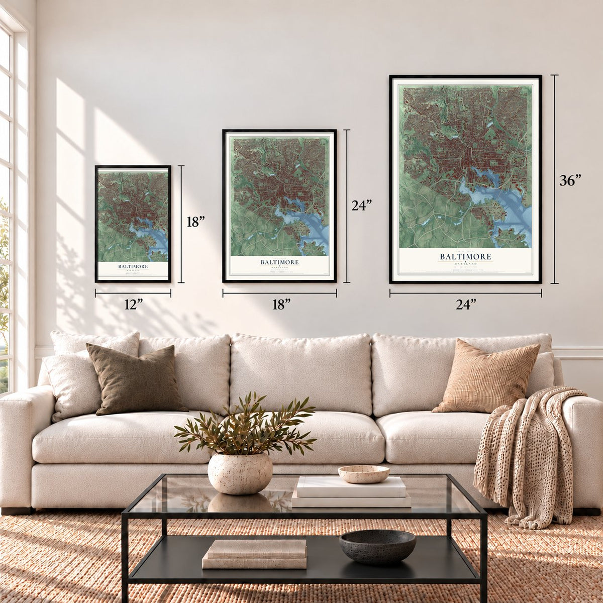
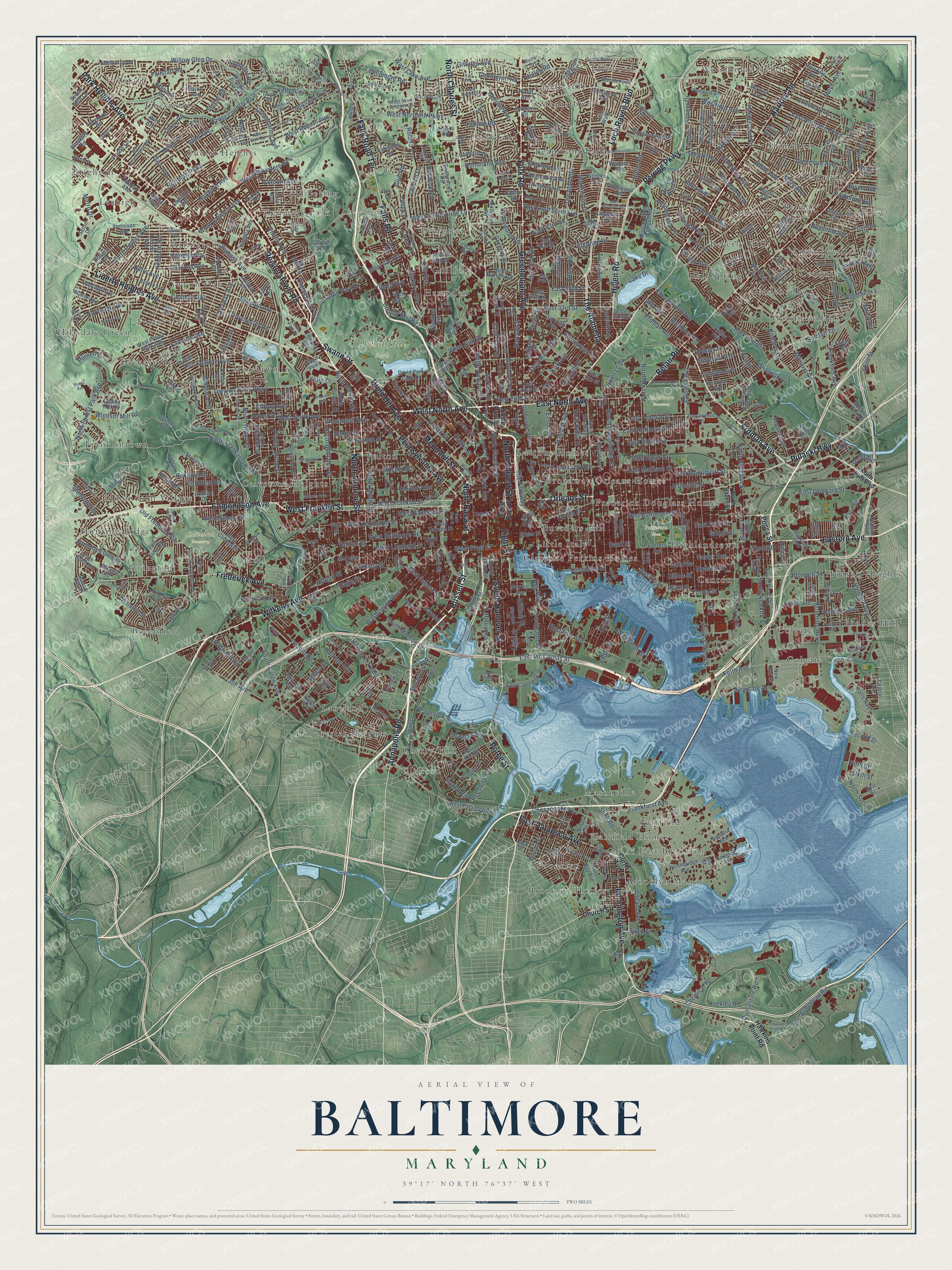
A new map of Baltimore, Maryland, made in 2026 and printed to order on thick archival matte paper.
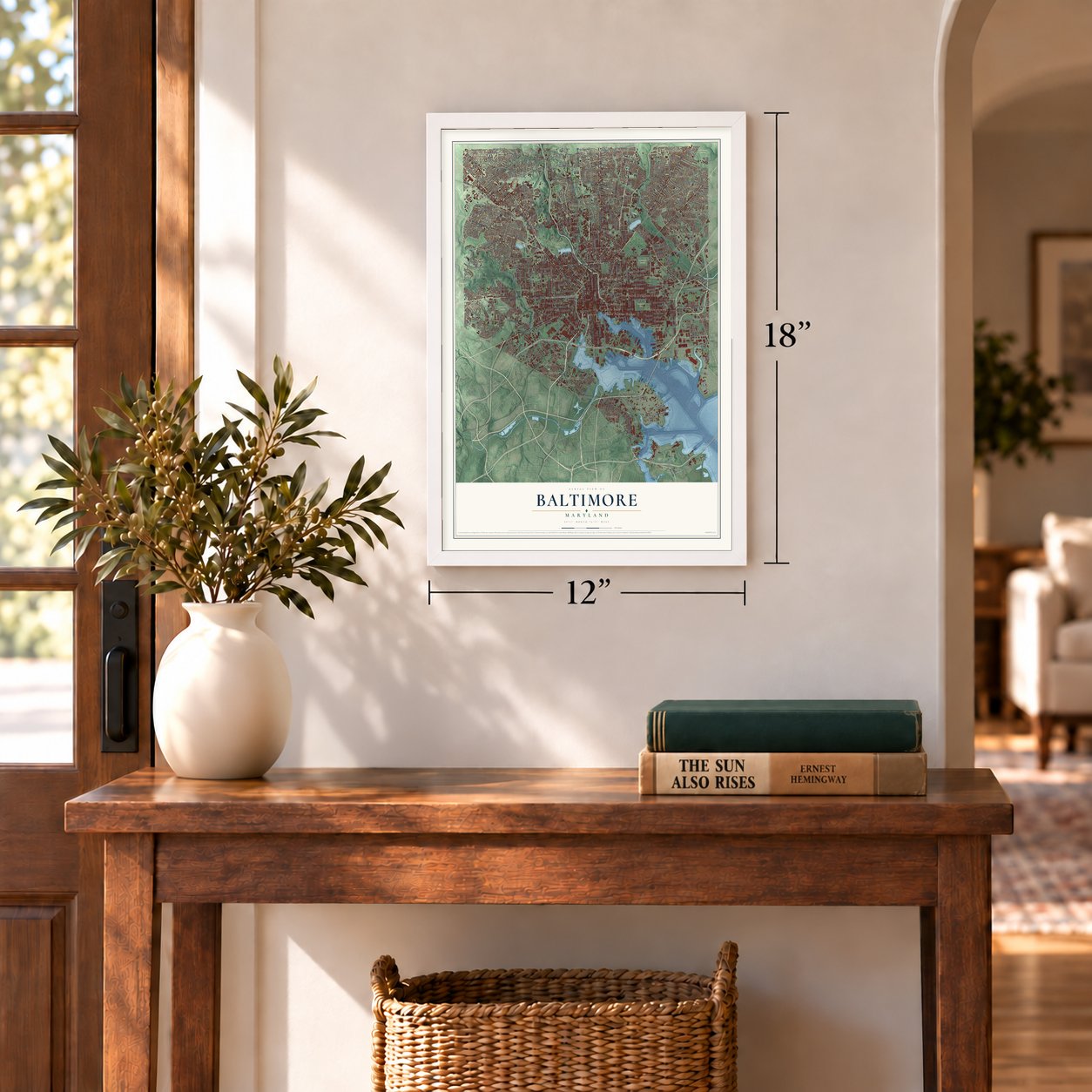
12" x 18" Archival Matte Print
A Map of Home. A Work of Art.
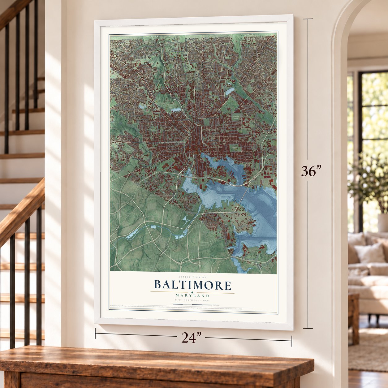
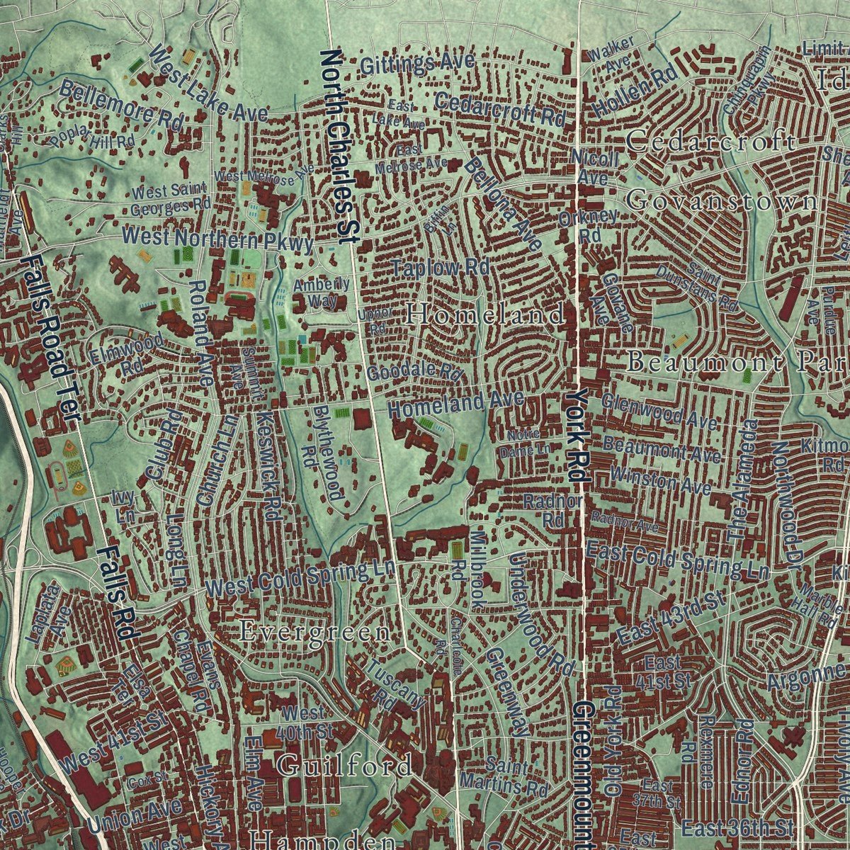
Explore Baltimore, Maryland from a whole new perspective. Created using aerial imagery and detailed geographic data, this map captures Baltimore building by building, with labeled streets, familiar landmarks, and shaded topographical relief that highlights the natural contours of the landscape.
Combining modern data with the timeless character of a vintage atlas, this map is just as interesting up close as it is beautiful on the wall. Whether you grew up in Baltimore, spent memorable years there, or call it home today, this unique map is a great way to celebrate a place that means something to you. Zoom in on the preview to look for your street, and then order a print to put your memories on the wall.
Three ways to hang it
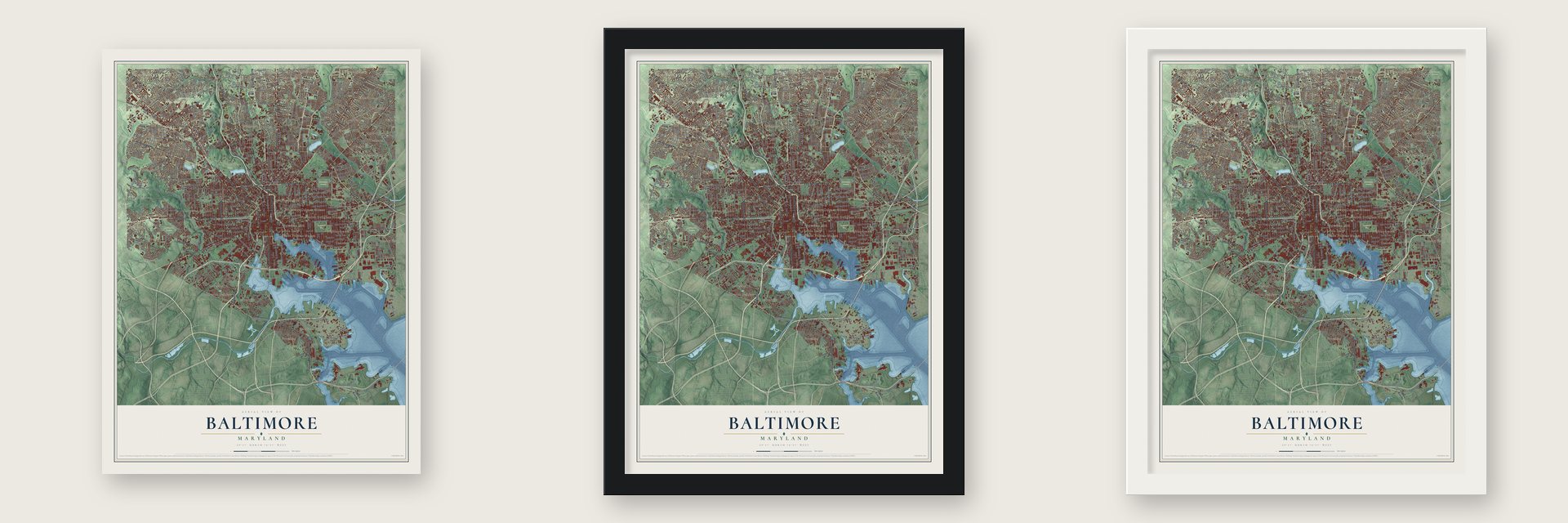
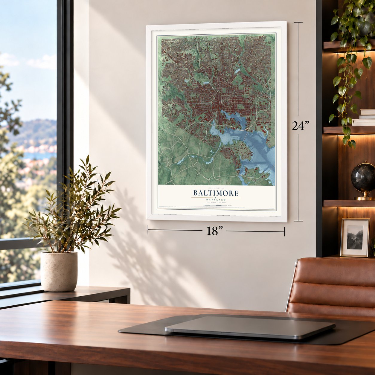
Unframed archival matte, a black wood frame or a white wood frame.
Up close
Geography Worth Displaying
This map was created using accurate cartographic data and authoritative geographic sources, including the U.S. Geological Survey and the Census Bureau. The map brings together terrain, waterways, roads, and building detail. The majority of the streets are labeled, houses are accurately depicted, and the topography is derived from government sources. Combining local data with carefully composed color and shading leads to this beautifully detailed Baltimore artwork for your wall.
Rather than simply showing street outlines, we’ve included as many of the street names as we could reasonably fit on the map while keeping their names legible. Zoom in on the high resolution preview to see exactly what’s on the map. We truly set out to create a statement piece for anyone who loves Baltimore. So whether it’s for you, or a gift for someone you love, we hope this map of Baltimore brings back fond memories.
Read the story behind this map of Baltimore, Maryland from 2026.

About Baltimore, Maryland
Baltimore is a city of 585,708 people on the Patapsco River. Maryland's constitution made it an independent city in 1851, so it belongs to no county. It takes its name from Cecil Calvert, 2nd Baron Baltimore, one of the founding proprietors of Maryland. The colonial assembly set up a port at Whetstone Point, now Locust Point, in 1706 to ship tobacco, and the governor signed the act for a new town on August 8, 1729.
Surveyors started laying out the town on January 12, 1730, yet by 1752 it still had only 27 homes, among them a church and two taverns. Jonestown, which David Jones had claimed in 1661, and Fells Point grew up to the east. The three settlements became the county seat in 1768 and were incorporated together as the City of Baltimore between 1796 and 1797. By 1820 the city had 60,000 people, and its trade had turned from tobacco to sawmilling, shipbuilding and textiles.
“May the days of her safety be as prosperous and happy, as the days of her dangers have been trying and triumphant.”
- Congress meets here, 1776Before British troops captured Philadelphia, the Second Continental Congress moved to Baltimore. From December 1776 to February 1777 its sessions were held in the Henry Fite House, and for those months the city served as the nation's capital. Congress then returned to Philadelphia. Local leaders such as Jonathan Plowman Jr. had already urged residents to resist British taxes, and merchants had signed pledges to stop trading with Britain.
- The Monumental CityThe British bombardment of Fort McHenry in 1814 led Francis Scott Key to write "The Star-Spangled Banner," which became the national anthem in 1931. The city built the Battle Monument to remember the fight, and it is now Baltimore's official emblem. On a visit in 1827, President John Quincy Adams raised a toast to "the Monumental City," which gave Baltimore its nickname.
- First dental college, 1840The Baltimore College of Dental Surgery opened in 1840 as the first dental college anywhere in the world, and it is listed on the National Register. In 1844 Baltimore was one end of the world's first telegraph line, which ran to Washington, D.C.
- The railroad strike of 1877The Baltimore and Ohio, the oldest railroad in the nation, was built here in 1830 and tied the port to markets in the Midwest. During the Long Depression the company tried to cut its workers' pay, and on July 16, 1877, workers in Baltimore and Martinsburg, West Virginia, began the first national strike. Strikers fought the National Guard, and 10 people died and 25 were hurt.
- The Great Fire of 1904On February 7, 1904, the Great Baltimore Fire burned more than 1,500 buildings and leveled over 70 blocks of downtown, with damage put at $150 million. As the city rebuilt in the years after, it raised its standards for firefighting equipment.
Find your street
Names on the Baltimore map
Every name below is printed on this map. Look for your street, your school, the park where you played, or the pond down the road.
Places and landmarks72
- Fallstaff
- Woodhome Heights
- Baltimore Cemetery
- Cathedral Cemetery
- Druid Hill Park
- Hanlon Park
- Parkwood Cemetery
- Patterson Park
- Anthonyville
- Arlington
- Beaumont Park
- Beechfield
Show all 72 places
- Belgravia
- Bellview
- Belmar
- Beverly Hills
- Brighton
- Broadway-Orleans Homes
- Brooklyn
- Brooklyn Homes
- Brooklyn Manor
- Brooks Hill
- Butchers Hill
- Calverton
- Calverton Heights
- Canton
- Carroll
- Cedarcroft
- Cedonia
- Cherry Hill
- Cheswolde
- Clarence Perkins Homes
- Clifford
- Cold Spring
- Colgate
- Colgate Creek
- Denmore Park
- Dickeyville
- Dixon Hill
- Dorchester Heights
- East Brooklyn
- Edmondson Village
- Euclid Heights
- Evergreen
- Fairfield
- Fairfield Homes
- Forest Park
- Franklintown
- Frederick Douglass Homes
- Fulton
- Gardenville
- Goodnow Hill
- Govanstown
- Guilford
- Gwynn Oak
- Hall Spring
- Hamilton
- Hampden
- Highlandtown
- Hillsdale Green
- Homeland
- Hudson Heights
- Hunting Ridge
- Idlewood
- Irvington
- Lakeland
- Latrobe Homes
- Lauraville
- Leahigh
- Little Italy
- Masonville
- Mondawmin
Streets and roads606
- Reisterstown Road
- Park Heights Avenue
- North Charles Street
- Wilkens Avenue
- West North Avenue
- East North Avenue
- Greenmount Avenue
- Russell Street
- The Alameda
- Pennsylvania Avenue
- Druid Hill Avenue
- McCulloh Street
- North Monroe Street
- North Paca Street
- Edmondson Avenue
- Loch Raven Boulevard
- Belair Road
- West Franklin Street
- Swann Drive
- Harford Road
- Erdman Avenue
- Liberty Heights Avenue
- Falls Road
- Perring Parkway
- York Road
- Pulaski Highway
- Frederick Avenue
- Hillen Road
- Pennington Avenue
- Orleans Street
Show all 606 streets
- Eastern Avenue
- South Hanover Street
- Potee Street
- North Calvert Street
- East Patapsco Avenue
- Light Street
- Annapolis Road
- Falls Road Terrace
- Moravia Road
- North Franklintown Road
- West Cold Spring Lane
- Washington Boulevard
- East Cold Spring Lane
- North Howard Street
- Druid Park Drive
- Hollins Ferry Road
- William Street
- Saint Lo Drive
- Greenspring Avenue
- East Mc Comas Street
- North Washington Street
- Loch Raven Road
- Sinclair Lane
- Windsor Mill Road
- North Forest Park Avenue
- Harford Avenue
- Clifton Avenue
- Shannon Drive
- Hickory Avenue
- East Northern Parkway
- Northern Parkway
- Wabash Avenue
- Roland Avenue
- West Northern Parkway
- Gwynns Falls Parkway
- East Lombard Street
- East Monument Street
- Boston Street
- East 33rd Street
- Odonnell Street
- West Baltimore Street
- Saint Paul Street
- East Federal Street
- South Caton Avenue
- Hamilton Avenue
- Dundalk Avenue
- East Pratt Street
- East Baltimore Street
- Guilford Avenue
- Frankford Avenue
- East Biddle Street
- Cross Country Boulevard
- Fleet Street
- Pimlico Road
- East Madison Street
- West Rogers Avenue
- West Lexington Street
- Edison Highway
- East Eager Street
- Mosher Street
- West Saratoga Street
- Chesapeake Avenue
- Frankfurst Avenue
- West Belvedere Avenue
- Cedonia Avenue
- White Avenue
- Park Avenue
- Keswick Road
- North Hilton Street
- Bank Street
- Broening Highway
- South Clinton Street
- Aisquith Street
- Northwood Drive
- Harlem Avenue
- Hudson Street
- Cedarcroft Road
- Waterview Avenue
- North Rose Street
- Echodale Avenue
- Belle Avenue
- Argonne Drive
- Grindon Avenue
- Baker Street
- Bowleys Lane
- Hillsdale Road
- Ashland Avenue
- Eutaw Place
- Southern Avenue
- Parkside Drive
- Fallstaff Road
- Gough Street
- Bayonne Avenue
- West Lombard Street
- Fait Avenue
- Glenmore Avenue
- Sixth Street
- North Rogers Avenue
- Barclay Street
- South Newkirk Street
- West Pratt Street
- Fort Armistead Road
- East Fort Avenue
- Hollins Street
- Chesley Avenue
- East Hoffman Street
- Gittings Avenue
- Foster Avenue
- Kane Street
- Callaway Avenue
- North Bentalou Street
- Chesterfield Avenue
- Old Frederick Road
- Old York Road
- Poplar Grove Street
- Mary Avenue
- Westfield Avenue
- Sulgrave Avenue
- North Mount Street
- Fifth Street
- Key Highway
- West Garrison Avenue
- Lake Drive
- Jefferson Street
- Quarantine Road
- Fairview Avenue
- Gist Avenue
- Dorchester Road
- West Ostend Street
- Tivoly Avenue
- Old Harford Road
- South Monroe Street
- Moyer Avenue
- Glen Avenue
- Ensor Street
- North Svc Road
- Greenway
- Morton Street
- Westwood Avenue
- James Street
- Montebello Terrace
- Sequoia Avenue
- East 20th Street
- Bellemore Road
- Ramsay Street
- Kirk Avenue
- Hayward Avenue
- Lyndale Avenue
- Taney Road
- Homestead Street
- The Fallsway
- Fourth Street
- Brendan Avenue
- Bellona Avenue
- Rokeby Road
- Oakford Avenue
- Cylburn Avenue
- Ailsa Avenue
- Fernhill Avenue
- Tramore Road
- Second Street
- Desoto Road
- Chelsea Terrace
- Dillon Street
- Carlisle Avenue
- Menlo Drive
- Elm Avenue
- Willow Glen Drive
- West 29th Street
- East 36th Street
- Hamlet Avenue
- Joh Avenue
- Arizona Avenue
- Round Road
- Leadenhall Street
- Kelly Avenue
- Jordan Street
- 62nd Street
- West 41st Street
- Danville Avenue
- Pioneer Drive
- Norwood Avenue
- Stamford Road
- Bayard Street
- Toone Street
- Cliftmont Avenue
- Hollen Road
- Covington Street
- Parkmont Avenue
- Hockley Road
- Frisby Street
- Yale Avenue
- Brehms Lane
- Colborne Road
- North Kresson Street
- Nicholson Street
- Bolton Street
- Chatham Road
- Todd Avenue
- Fallo Drive
- Raspe Avenue
- Seamon Avenue
- East 43rd Street
- West Lake Avenue
- Homeland Avenue
- Reedbird Avenue
- Ralls Avenue
- Quad Avenue
- Purnell Drive
- Shell Road
- Harman Avenue
- Lancaster Street
- Andard Avenue
- Cottage Avenue
- Clipper Mill Road
- Lake Avenue
- Taplow Road
- Forrest Street
- Chemical Road
- Church Lane
- Underwood Road
- Club Road
- Rusk Avenue
- Fords Lane
- Long Lane
- Scott Street
- Union Avenue
- Ednor Road
- Hull Street
- Newgate Avenue
- Williston Street
- Haverhill Road
- Horners Lane
- Ashton Street
- Eagle Street
- Steele Road
- Ivymount Road
- Wesley Avenue
- Metro Drive
- Keith Avenue
- Andre Street
- Kevin Road
- Weaver Avenue
- Birch Street
- Darien Road
- Tolna Street
- Hawkins Point Road
- Curtis Avenue
- Church Street
- Ponca Street
- Saint Paul Place
- South Howard Street
- Limit Avenue
- Edgewood Street
- Wyman Park Drive
- North Gay Street
- Belle Vista Avenue
- West Patapsco Avenue
- North Broadway
- East Fayette Street
- Garrison Boulevard
- West Fayette Street
- West Forest Park Avenue
- Presstman Street
- West Mulberry Street
- Fenwick Avenue
- East Cromwell Street
- Winston Avenue
- North Pulaski Street
- North Rosedale Street
- Ashburton Street
- Sherwood Avenue
- Cherry Hill Road
- South Haven Street
- Hunter Street
- McClean Boulevard
- Labyrinth Road
- East 25th Street
- Towanda Avenue
- Gibbons Avenue
- Virginia Avenue
- Ramblewood Road
- Vine Street
- Woodlea Avenue
- McHenry Street
- Dolfield Avenue
- South Ponca Street
- Kavon Avenue
- Druid Park Lake Drive
- Louise Avenue
- Fairdel Avenue
- East 32nd Street
- Gorsuch Avenue
- Moravia Park Drive
- Gelston Drive
- Gusryan Street
- Ayrdale Avenue
- Pall Mall Road
- Rosalie Avenue
- Taylor Avenue
- Briarclift Road
- Cardiff Avenue
- Duvall Avenue
- West 28th Street
- Lyndhurst Avenue
- West Bay Avenue
- East 35th Street
- Bowers Avenue
- Meridene Drive
- Glenwood Avenue
- Rutland Avenue
- Ninth Street
- North Dallas Street
- Herbert Street
- Elliott Street
- Dudley Avenue
- Chestnut Avenue
- Brook Avenue
- Leith Walk
- Beckley Street
- West 36th Street
- South Sharp Street
- West 40th Street
- Talbot Road
- Anthony Avenue
- Beaumont Avenue
- Blythewood Road
- East 22nd Street
- Boyd Street
- Herring Run Drive
- Morgan State Campus Road
- Seven Mile Lane
- Radecke Avenue
- Shelburne Road
- Northbridge Avenue
- Stokes Drive
- Hilton Road
- Wayne Avenue
- Hutton Avenue
- Stonewood Road
- Bush Street
- Glendale Avenue
- Roslyn Avenue
- North Rock Glen Road
- Jack Street
- Laurel Avenue
- Alricks Way
- South Augusta Avenue
- Kennison Avenue
- Mount Royal Terrace
- Parkton Street
- Elmwood Road
- Millbrook Road
- Winford Road
- Benhurst Road
- South Castle Street
- South Kresson Street
- North Bend Road
- Urban Lane
- Orchard Ridge Boulevard
- Huron Street
- Western Park Drive
- Cannery Avenue
- Strickland Street
- Mallow Hill Road
- Brookhill Road
- Gable Avenue
- Tioga Parkway
- Berwick Avenue
- Orkney Road
- Cole Street
- Kitmore Road
- Evans Chapel Road
- Water Street
- Laplata Avenue
- Mathews Street
- Pen Lucy Road
- East 41st Street
- Bayview Boulevard
- Merville Avenue
- Petrolia Avenue
- Rexmere Road
- Keene Avenue
- Lazear Road
- Laredo Avenue
- Goodale Road
- Govane Avenue
- Parkman Avenue
- Wirt Avenue
- Bonview Avenue
- John Street
- Kingsway Road
- West Caton Avenue
- Oakleaf Avenue
- Saint Martins Road
- Central Avenue
- Tuscany Road
- Seton Drive
- Dickey Hill Road
- Elsa Terrace
- Font Hill Avenue
- Quinton Street
- Lewiston Avenue
- Norfolk Street
- Bartol Avenue
- New Vail Street
- Radnor Road
- Hillwell Road
- Force Road
- Gordon Road
- Warren Avenue
- East Street
- Phelps Lane
- Low Street
- Clay Street
- Nome Avenue
- Nicoll Avenue
- Koko Lane
- Belmar Avenue
- Leo Street
- Fell Street
- Ivy Lane
- North Point Boulevard
- North Haven Street
- Raymonn Avenue
- Marble Hall Road
- Hargrove Alley
- Denison Street
- North Wolfe Street
- Pinewood Avenue
- North Carey Street
- North Chester Street
- Holabird Avenue
- Braddish Avenue
- West Strathmore Avenue
- Chinquapin Parkway
- Clarks Lane
- Saint Dunstans Road
- Sefton Avenue
- South Ellwood Avenue
- Walker Avenue
- Plymouth Road
- Haddon Avenue
- Cathedral Street
- Glenarm Avenue
- Elderon Avenue
- Smith Avenue
- West Saint Georges Road
- Oakley Avenue
- Ken Oak Road
- Cambria Street
- Winterbourne Road
- Hazelwood Avenue
- Wilso Drive
- Poplar Hill Road
- Wadsworth Way
- Marshall Street
- Cecil Avenue
- Crest Road
- Arunah Avenue
- South Macon Street
- Imla Street
- South Drew Street
- Summit Avenue
- Silver Hill Avenue
- East Strathmore Avenue
- Robert Street
- Beverly Road
- Moores Run Drive
- Hillburn Avenue
- Purdue Avenue
- Letitia Avenue
- Merchant Drive
- Duncanwood Lane
- Callow Avenue
- Eberle Drive
- Penn Street
- Beehler Avenue
- Calumet Avenue
- Abell Avenue
- Chilham Road
- Linnard Street
- Swansea Road
- South Port Street
- Vera Street
- Johnson Street
- East 37th Street
- Hooper Avenue
- Mattfeldt Avenue
- Erick Street
- Luerssen Avenue
- Finney Avenue
- Carlins Park Drive
- Amberly Way
- Latrobe Street
- Cook Avenue
- Irving Street
- Willard Street
- Ogden Street
- Orem Avenue
- Open Street
- Ritter Avenue
- Rolyn Avenue
- Erie Street
- Al Sanders Place
- Upnor Road
- Woodbourne Avenue
- Ellicott Driveway
- East Oliver Street
- North Calhoun Street
- Madison Avenue
- East Lake Avenue
- Maryland Avenue
- Windsor Avenue
- Winchester Street
- Washburn Avenue
- Booth Street
- Benson Avenue
- South Baylis Street
- South Road
- Ravenwood Avenue
- East Jeffrey Street
- Maine Avenue
- Birchwood Avenue
- South Carey Street
- Powhatan Avenue
- Race Street
- North Athol Avenue
- Cooks Lane
- East Melrose Avenue
- Nieman Avenue
- Sisson Street
- Bland Avenue
- Halcyon Avenue
- South Bonsal Street
- West Melrose Avenue
- Tyson Street
- Knell Avenue
- Orville Avenue
- West Dickman Street
- Moreland Avenue
- Roundview Road
- Coolidge Avenue
- Maude Avenue
- Overlea Avenue
- Pascal Avenue
- Bertram Avenue
- West 34th Street
- Radnor Avenue
- Cox Street
- East Arlington Avenue
- Portal Street
- The Terrace
- Notre Dame Lane
- Murphy Lane
- Auburn Avenue
- Charlcote Road
- Carver Road
- Bagley Avenue
- Lincoln Avenue
- Lucia Avenue
- Thomas Avenue
- Random Road
- Biffin Lane
- Spence Street
- Ashland Court
- Sterrett Street
- Newbury Street
- South Culver Street
- Mosby Avenue
- Kloman Street
- Laporte Street
- Iris Avenue
- Plum Street
- North Arch Street
- Clarks Hill
Names are listed as they appear on the printed map. Zoom into the product photos to find them.
The art of mapping a place
How This Map Was Made
Real places. Remarkable detail. Discover the layers that turn geographic data into a map of home.

The view from above
Aerial imagery reveals the character of the land: woodland, open fields, and the patterns of a place.

The shape of the land
Elevation data brings hills, valleys, and subtle changes in the landscape into view.

The details of home
Roads, waterways, and building footprints come together to make the map feel unmistakably local.

Geography becomes art
Considered color, shading, and typography bring the layers together in a map made for your wall.


Process illustrated with Mendon, Massachusetts. Aerial imagery: USDA NAIP. Terrain: USGS 3D Elevation Program. Map details and finished artwork: KNOWOL.
The Details
About This Print
Choose an archival matte print, or a black or white Ayous wood frame. The archival matte print is unframed.
Select your size and finish above to see the matching product image and price.
Materials & Craftsmanship
A contemporary map with the character of a classic atlas, printed on archival matte paper. Optional frames are made from Ayous wood.
Your printed map does not include the watermark shown in the full-map preview.
Shipping & Delivery
Free shipping within the United States. Every print is made to order in the USA.
Buying a gift? Add a note in your cart and we'll include it. We never put prices in the package.
Prints ship within 2 to 3 business days. Allow 7 to 10 days total from ordering for delivery. Timing may vary during holidays or periods of high order volume.
Read our shipping policy.
Returns and damaged prints
Each print is made to order. Change-of-mind refunds are not available after production.
If your print arrives damaged, misprinted or incorrect, contact support@knowol.com within 30 days of receiving it. Include your order number, photos and a description of the issue.
Read our full refund and replacement policy. For questions about your order, email support@knowol.com.
Find your town
Looking for another city?
Find a map of home in our Maryland collection, or any town in the country.
Nearby
Maps of towns near Baltimore
Know someone from one of these towns? Their map makes a great gift.
 Penn-Fallsway
, Maryland
From $39.99See the map
 Mount Vernon
, Maryland
From $39.99See the map
 Johnston Square
, Maryland
From $39.99See the map
More maps nearby: Oldtown, Mid-Town Belvedere, Greenmount West, Pleasant View Gardens and Downtown.