
Search for another town
Free U.S. delivery 7 to 10 days after you order
Batesburg-Leesville, South Carolina Map Art
Building by building, with labeled streets and shaded relief.
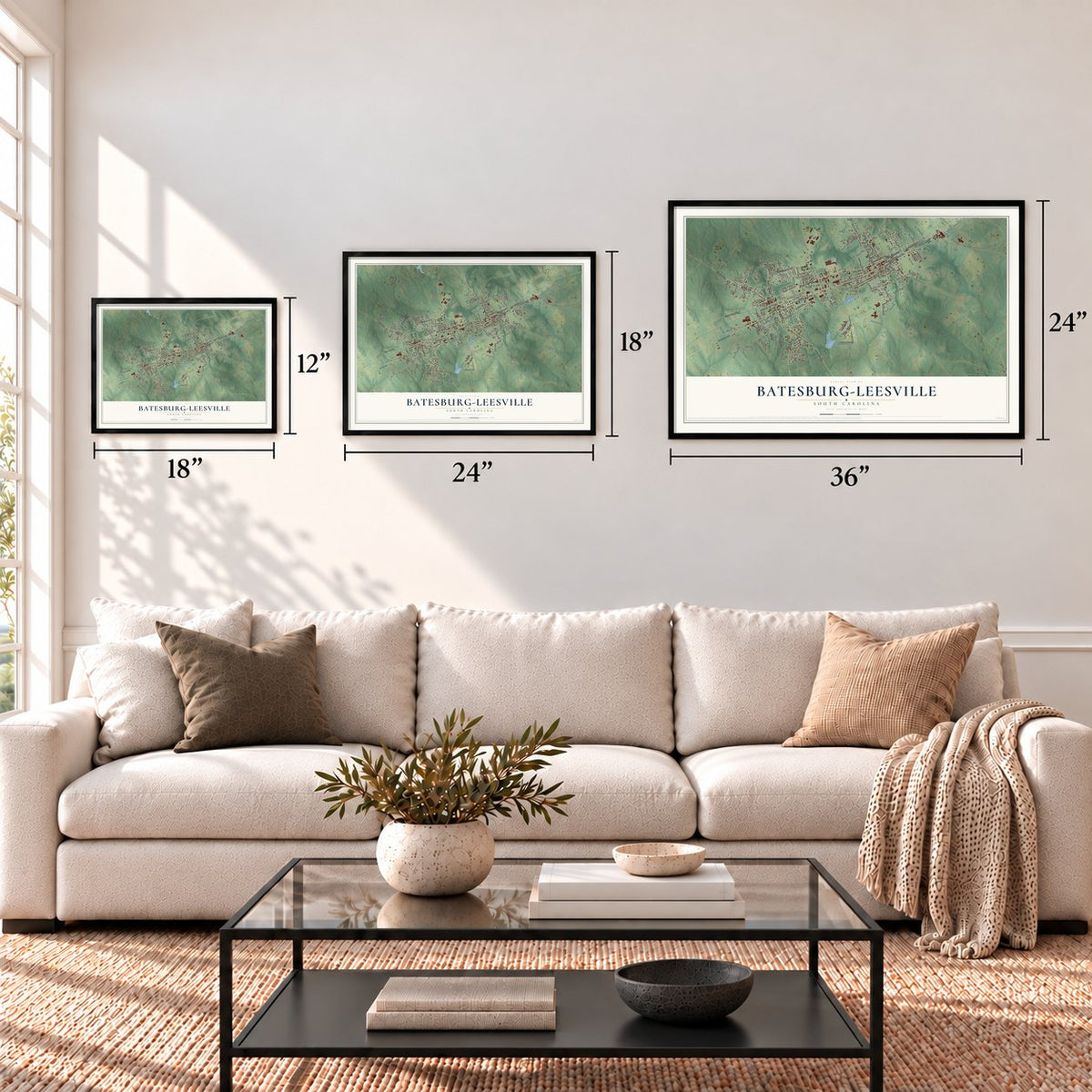
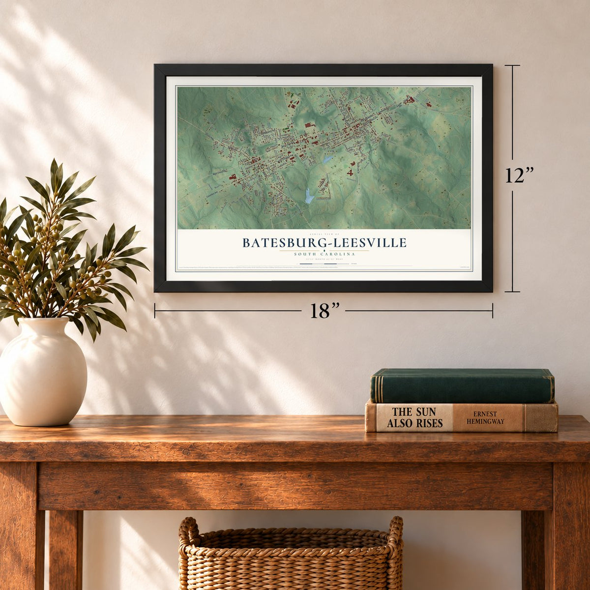
12" x 18" Archival Matte Print
A Map of Home. A Work of Art.
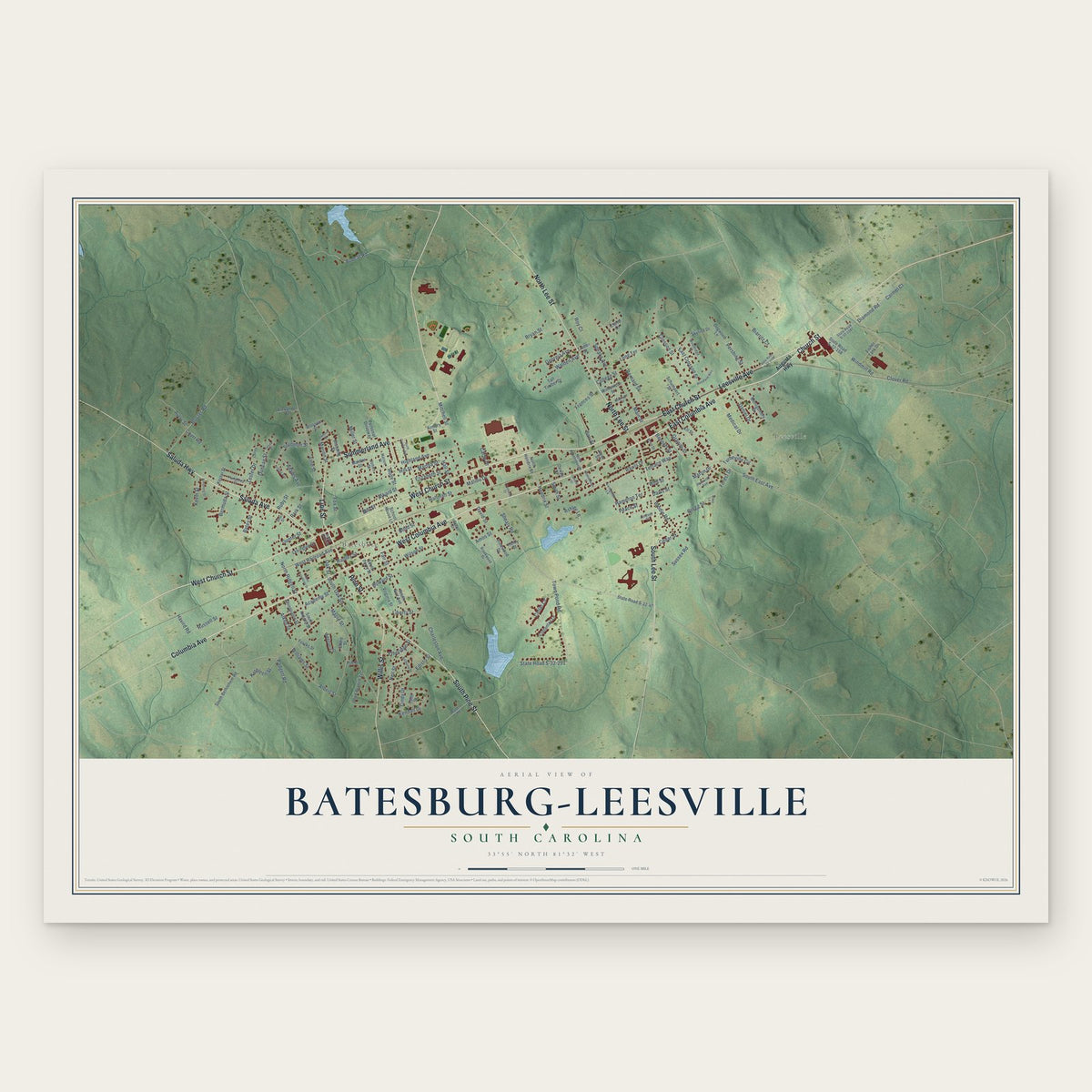
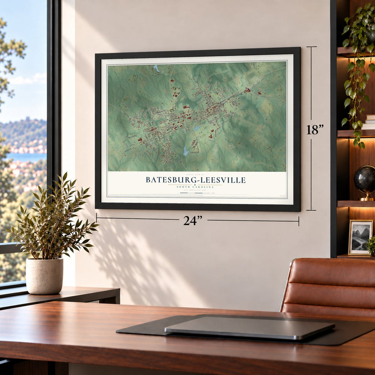
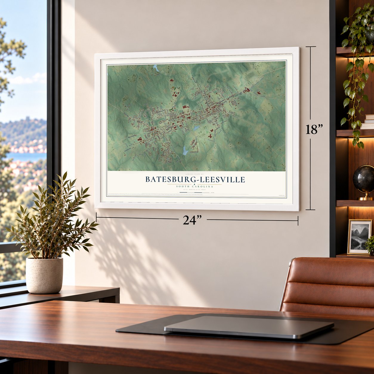
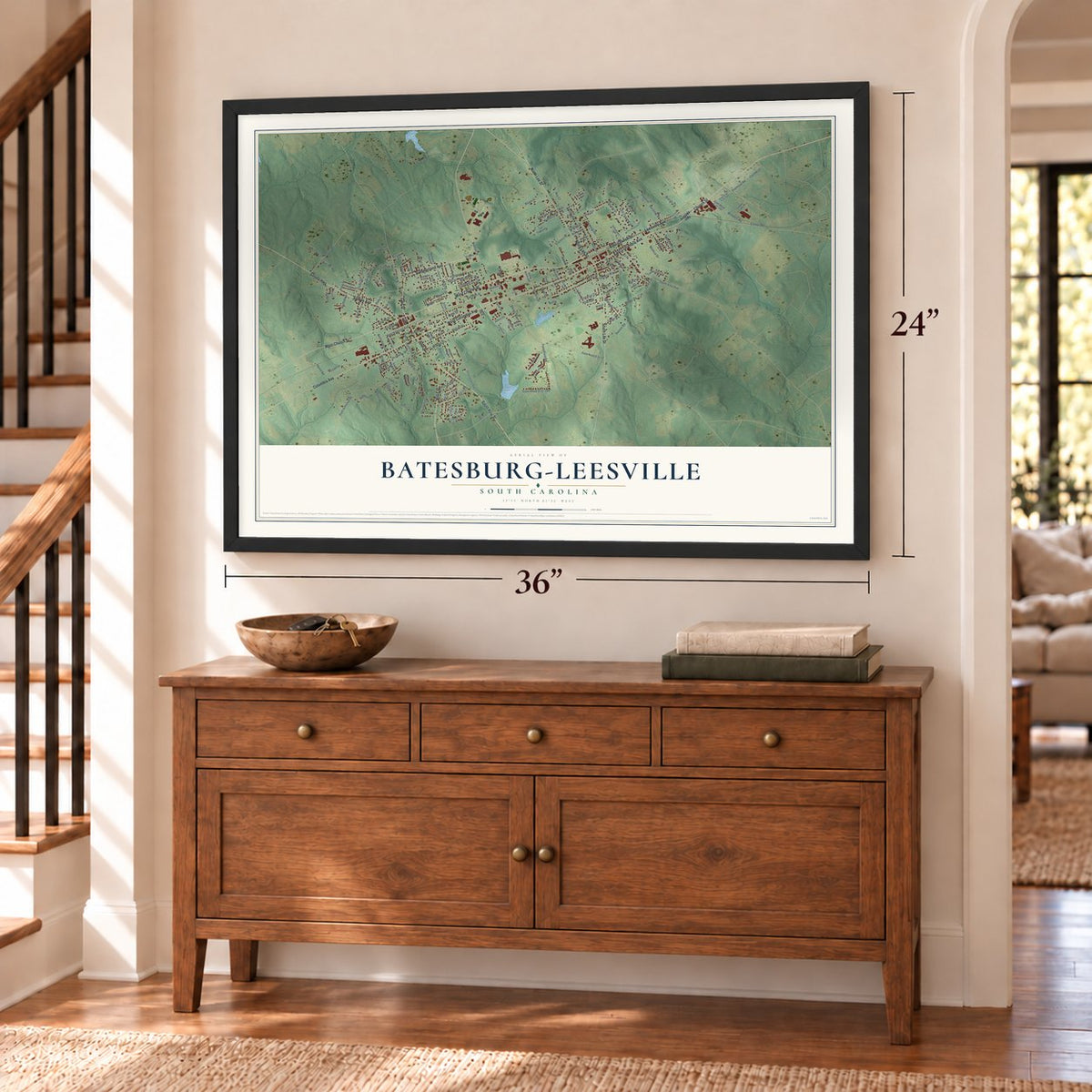
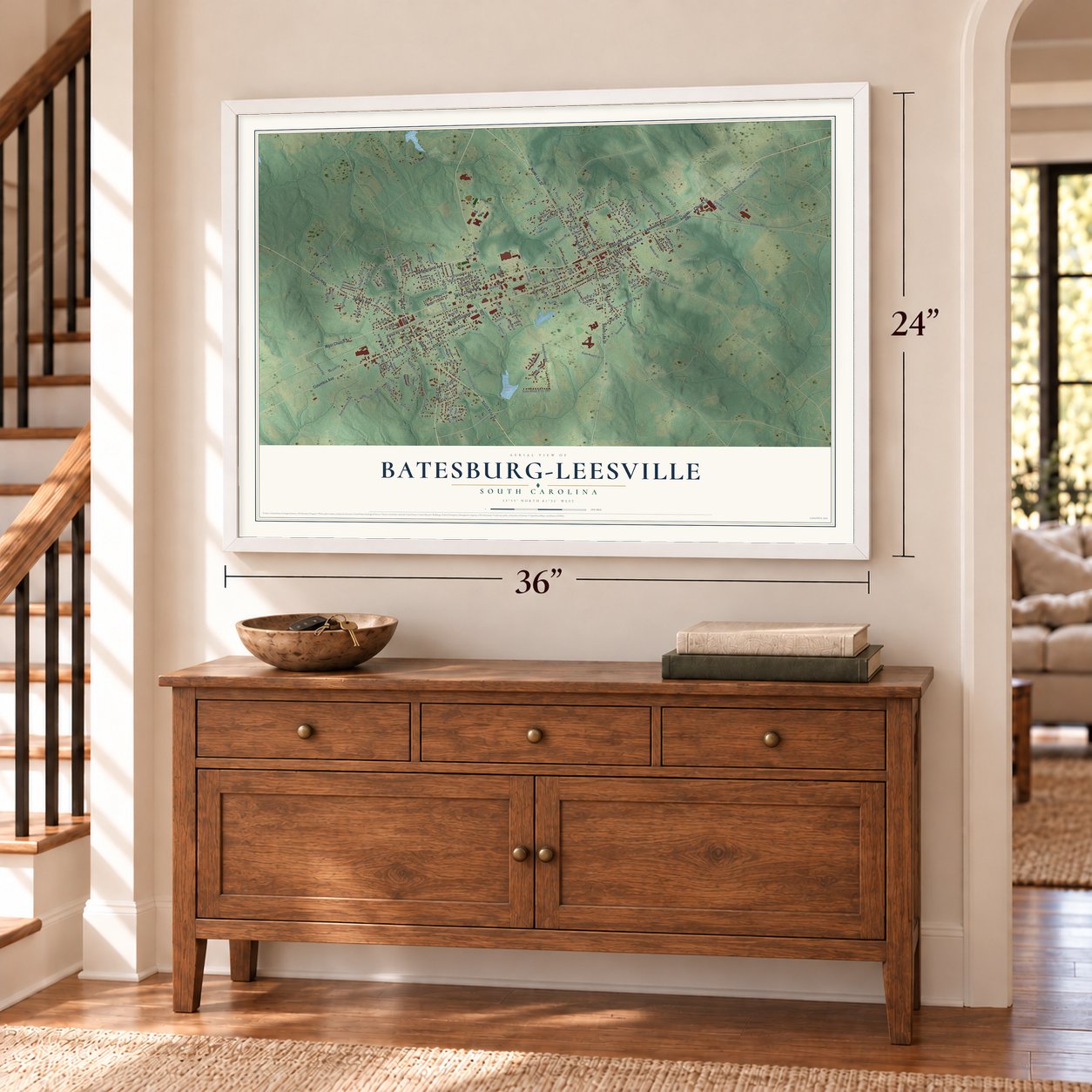
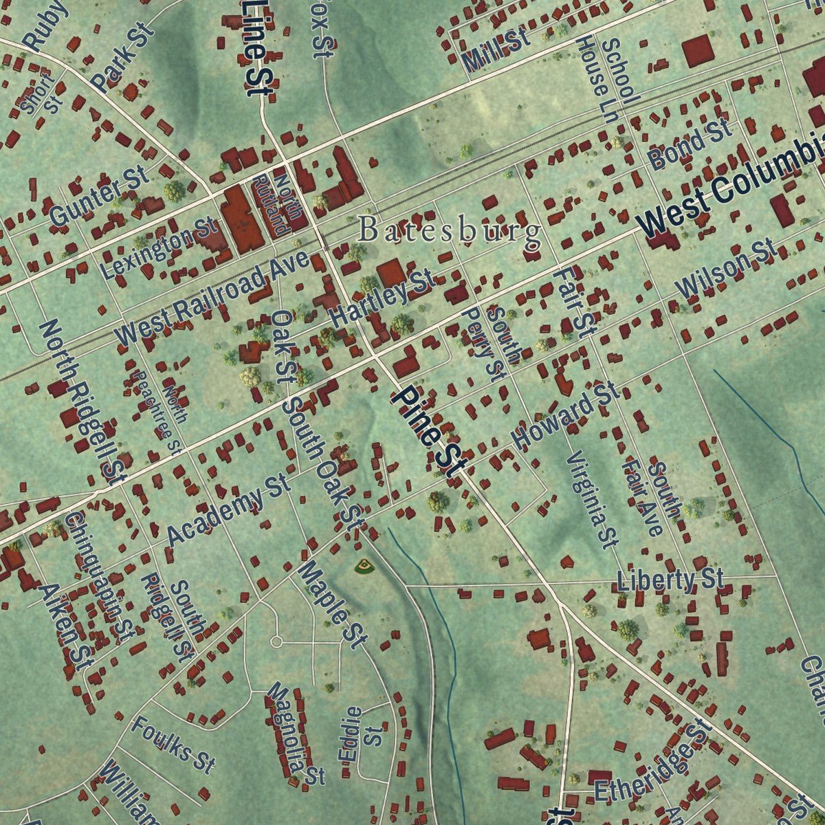
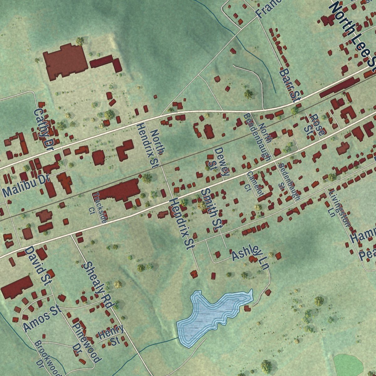
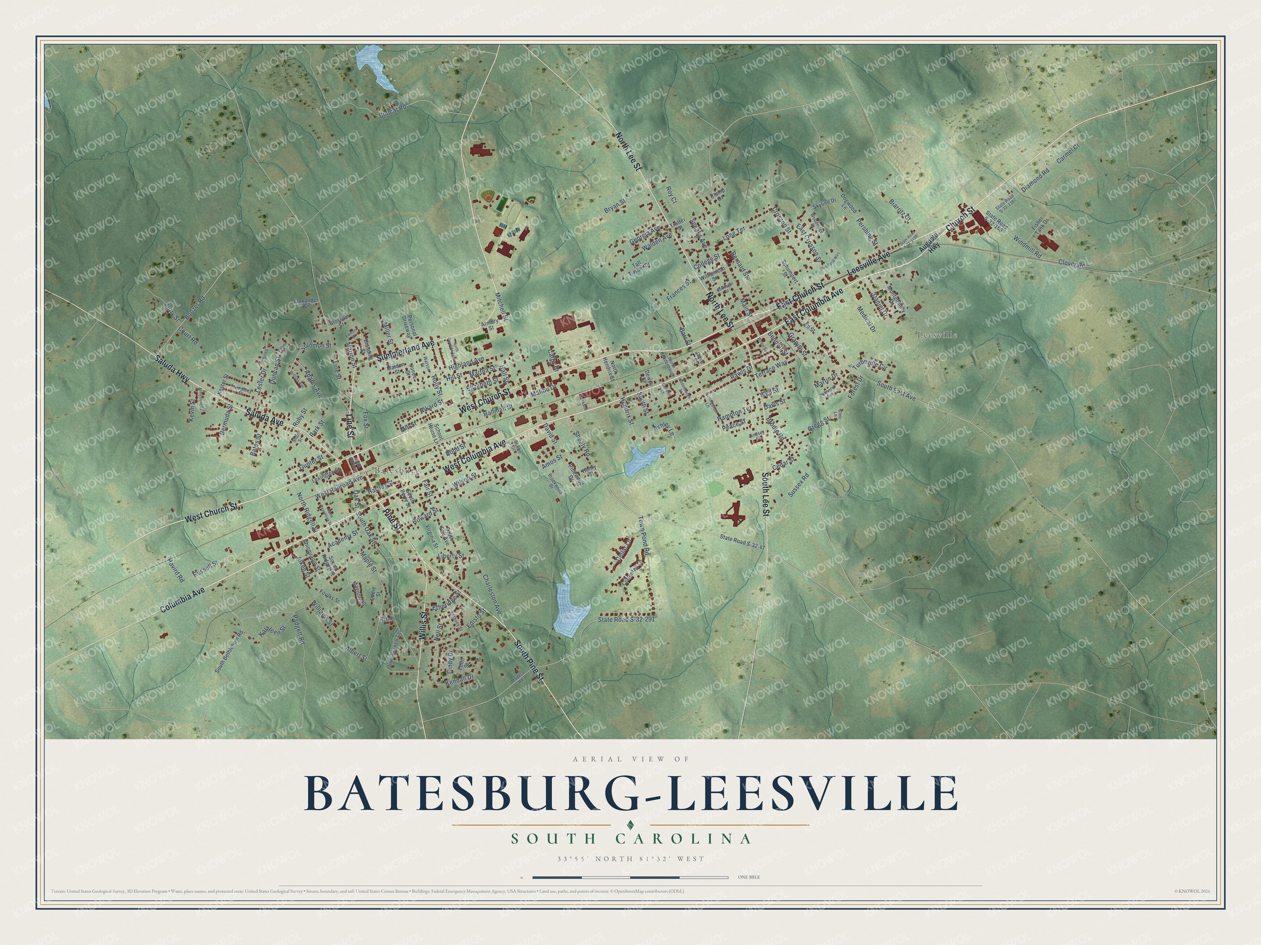
Explore Batesburg-Leesville, South Carolina from a whole new perspective. Created using aerial imagery and detailed geographic data, this map captures Batesburg-Leesville building by building, with labeled streets, familiar landmarks, and shaded topographical relief that highlights the natural contours of the landscape.
Combining modern data with the timeless character of a vintage atlas, this map is just as interesting up close as it is beautiful on the wall. Whether you grew up in Batesburg-Leesville, spent memorable years there, or call it home today, this unique map is a great way to celebrate a place that means something to you. Zoom in on the preview to look for your street, and then order a print to put your memories on the wall.
Three ways to hang it
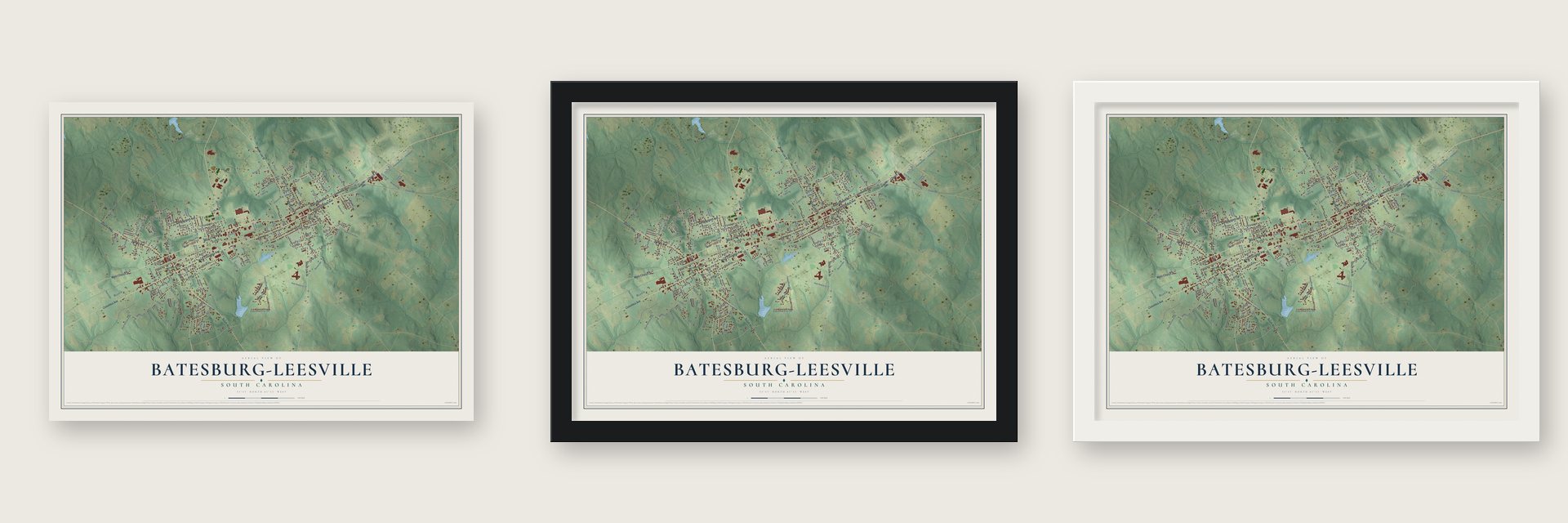
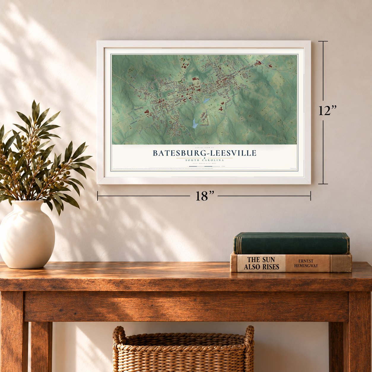
Unframed archival matte, a black wood frame or a white wood frame.
Up close
Geography Worth Displaying
This map was created using accurate cartographic data and authoritative geographic sources, including the U.S. Geological Survey and the Census Bureau. The map brings together terrain, waterways, roads, and building detail. The majority of the streets are labeled, houses are accurately depicted, and the topography is derived from government sources. Combining local data with carefully composed color and shading leads to this beautifully detailed Batesburg-Leesville artwork for your wall.
Rather than simply showing street outlines, we’ve included as many of the street names as we could reasonably fit on the map while keeping their names legible. Zoom in on the high resolution preview to see exactly what’s on the map. We truly set out to create a statement piece for anyone who loves Batesburg-Leesville. So whether it’s for you, or a gift for someone you love, we hope this map of Batesburg-Leesville brings back fond memories.
Read the story behind this map of Batesburg-Leesville, South Carolina from 2026.
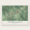
Find your street
Names on the Batesburg-Leesville map
Every name below is printed on this map. Look for your street, your school, the park where you played, or the pond down the road.
Places and landmarks2
- Leesville
- Batesburg
Streets and roads186
- East Church Street
- East Columbia Avenue
- West Church Street
- Church Street
- West Columbia Avenue
- Saluda Avenue
- Saluda Highway
- Summerland Avenue
- Line Street
- Pine Street
- Leesville Avenue
- North Lee Street
- South Pine Street
- South Lee Street
- Willis Street
- Columbia Avenue
- Shealy Road
- Havird Road
- Boozer Road
- Highland Avenue
- Russell Street
- Rikard Street
- North Ridgell Street
- Solomon Street
- Adams Avenue
- Bobcat Road
- South Oak Street
- South East Avenue
- Clover Road
- West Railroad Avenue
Show all 186 streets
- Howard Street
- Bernard Street
- State Road S-32-291
- Town Pond Road
- Charleston Avenue
- Pershing Street
- Wilson Street
- Mitchell Street
- Crosson Street
- Rawls Drive
- Kendall Drive
- Maple Street
- Frances Street
- Bates Street
- Hill Street
- Terrace Way
- Brodie Road
- Main Street
- Liberty Street
- Windmill Road
- Albert Street
- Academy Street
- Fox Street
- Georgia Avenue
- Forest Drive
- Diamond Road
- Edisto Street
- Bermuda Street
- Mill Street
- Ashley Lane
- Kathleen Street
- Barr Street
- Hampton Terrace
- Hartley Street
- Duncan Street
- Turbeville Circle
- Oak Street
- Padgett Road
- Hallman Street
- Ruby Street
- East Crosson Street
- Hendrix Street
- Medical Drive
- Long Terrace
- David Street
- Daniel Drive
- Bryan Street
- Williams Street
- Walden Avenue
- Well Street
- Lester Drive
- Gregg Street
- Malibu Drive
- Amos Street
- Park Street
- Nell Street
- Aiken Street
- Fair Street
- Cindy Drive
- Holly Street
- Roy Court
- Speaks Avenue
- Peace Street
- Gunter Street
- Autry Street
- College Street
- Etheridge Street
- Cellar Lane
- Miller Street
- Elizabeth Street
- Kevin Street
- Martha Street
- Granite Street
- Carmel Court
- Hall Street
- Bennett Street
- Bond Street
- Biarritz Court
- Smith Street
- Sussex Road
- Cedar Street
- Davis Street
- Cathy Drive
- Marion Street
- Martin Drive
- Court Road
- Augusta Highway
- State Road S-32-47
- Kester Street
- South Bethlehem Road
- State Road S-32-158
- South Fair Avenue
- Olive Branch Terrace
- Cottontail Lane
- Clamp Drive
- Skyline Drive
- Personal Driveway
- School House Lane
- South Ridgell Street
- Montgomery Drive
- Virginia Street
- Tall Timber Drive
- Fisher Tank Drive
- Schumpert Street
- Pinewood Drive
- Trotter Street
- Chinquapin Street
- Dogwood Lane
- South Perry Street
- Magnolia Street
- Lexington Street
- Eddie Street
- Alexander Street
- Jones Street
- Williamson Street
- Armory Street
- Blanding Street
- Ell Street
- North Hendrix Street
- Edith Street
- Blossom Street
- Foulks Street
- Maiden Street
- Dewey Street
- Rose Street
- Henry Street
- Ash Street
- Brookwood Drive
- State Road S-32-1187
- Livingston Lane
- Humphrey Street
- Anthony Street
- Palmetto Avenue
- Watson Street
- North Bendenbaugh
- Woodridge Court
- Madera Road
- Wren Street
- Sulton Street
- North Rutland
- Lindsey Street
- Short Street
- Corley
- Cleo Lane
- Beltline Avenue
- North Carolina Avenue
- North Peachtree Street
- Armstrong Street
- Woodland Way
- Bouknight Street
- Bedenbaugh Street
- State Road S-32-1198
- Camelot Court
- Edmond Drive
- Trackside Court
- Saluda Street
Names are listed as they appear on the printed map. Zoom into the product photos to find them.
About Batesburg-Leesville, South Carolina
Batesburg-Leesville is a town of 5,270 people in Lexington County, with part of it reaching into Saluda County. It began as two neighboring towns. Leesville took its name from Colonel John W. Lee, a prominent local man, and became a town on February 23, 1875. Batesburg was named for Captain Tom Bates, a leading citizen who had served as a captain in the Civil War, and it was incorporated on May 31, 1877.
The two towns joined into one in 1992. Dr. Elza S. "Sandy" Spradley Jr., a pharmacist and business owner who had been Batesburg's last mayor, became the first mayor of the combined town. He had also spent 18 years as fire chief, and the fire department still keeps a station in each old business district, known as the Batesburg station and the Leesville station.
- Isaac Woodard, 1946In February 1946 police pulled Sergeant Isaac Woodard, a Black World War II veteran, off a Greyhound bus in Batesburg. Officers including Sheriff Lynwood Shull beat him in his uniform, blinding him for life. President Harry S. Truman ordered a federal inquiry, and an all-white jury acquitted Shull, but the case moved Truman toward his civil rights committee and Executive Order 9981, desegregating the armed forces. On June 5, 2018, the town court vacated Woodard's conviction.
- Leesville CollegeOpened in 1881 as the Leesville English and Classical Institute, the school became Leesville College in 1890. Classes first met in Haynes Auditorium, built in 1883 at Main and College streets. It was said to be the state's first school to teach practical and technical skills, field a girls' basketball team and teach women higher mathematics. The college closed in 1911, and Midlands Technical College has run a campus in the old college park since 2008.
- Summerland CollegeIn 1912 the Lutheran Church turned the Summerland Resort into a college for women. It closed after the 1930 school year and was merged into Newberry College, a school for men. In 1975 the town's new high school opened on the old campus on Summerland Avenue, built after integration filled the schools and a fire badly damaged a former college building then used as a middle school.
- The 1921 high schoolBatesburg-Leesville High School was built in 1921 and grew with many additions over the years. After the new high school opened in 1975, the old campus served as the middle school until a new one opened in 1999. The Old Batesburg-Leesville High School joined the National Register in 1982.
- Poultry Festival since 1987Lexington County leads the state in poultry, with help from two big plants that process it, Amick Farms and Columbia Farms. Since 1987 the town has marked that work on the second Saturday of every May with the South Carolina Poultry Festival, first called the Ridge Poultry Festival. A day of music, a parade and a carnival ends with a cake auction and fireworks.
Keep exploring South Carolina
Batesburg-Leesville is one of 540 South Carolina towns we've mapped. Every dot on the map is a print of its own.
The search covers every state, South Carolina first.
Near Batesburg-Leesville
Order 2 or more town maps and save 10%. Shown in the size and finish you picked above, so they hang as a set.
- Summit 12" x 18" / Archival Matte Print $39.99
- Monetta 12" x 18" / Archival Matte Print $39.99
- Gilbert 12" x 18" / Archival Matte Print $39.99
More maps nearby: Ridge Spring, Ward, Fairview Crossroads, Saluda and White Knoll.
The art of mapping a place
How This Map Was Made
Real places. Remarkable detail. Discover the layers that turn geographic data into a map of home.

The view from above
Aerial imagery reveals the character of the land: woodland, open fields, and the patterns of a place.

The shape of the land
Elevation data brings hills, valleys, and subtle changes in the landscape into view.

The details of home
Roads, waterways, and building footprints come together to make the map feel unmistakably local.

Geography becomes art
Considered color, shading, and typography bring the layers together in a map made for your wall.


Process illustrated with Mendon, Massachusetts. Aerial imagery: USDA NAIP. Terrain: USGS 3D Elevation Program. Map details and finished artwork: KNOWOL.
The Details
About This Print
Choose an archival matte print, or a black or white Ayous wood frame. The archival matte print is unframed.
Select your size and finish above to see the matching product image and price.
Materials & Craftsmanship
A contemporary map with the character of a classic atlas, printed on archival matte paper. Optional frames are made from Ayous wood.
Your printed map does not include the watermark shown in the full-map preview.
Shipping & Delivery
Free shipping within the United States. Every print is made to order in the USA.
Buying a gift? Add a note in your cart and we'll include it. We never put prices in the package.
Prints ship within 2 to 3 business days. Allow 7 to 10 days total from ordering for delivery. Timing may vary during holidays or periods of high order volume.
Read our shipping policy.
Returns and damaged prints
Each print is made to order. Change-of-mind refunds are not available after production.
If your print arrives damaged, misprinted or incorrect, contact support@knowol.com within 30 days of receiving it. Include your order number, photos and a description of the issue.
Read our full refund and replacement policy. For questions about your order, email support@knowol.com.