
Search for another town


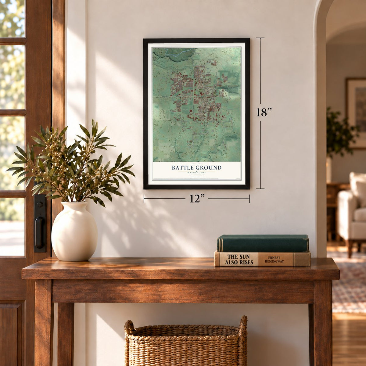
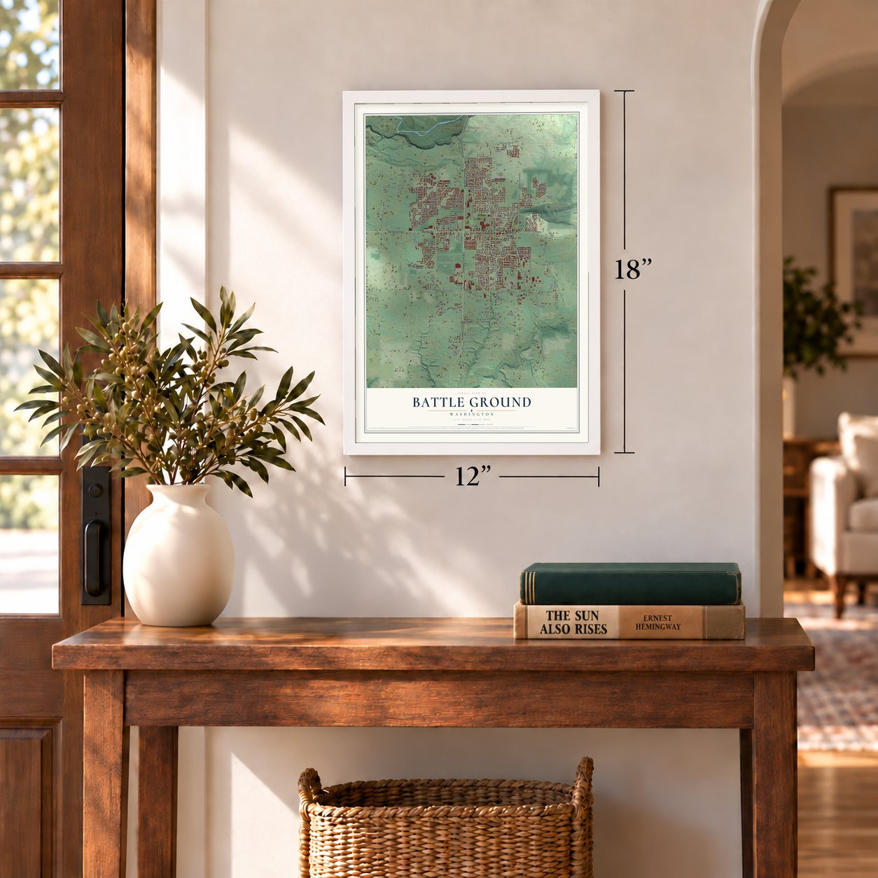

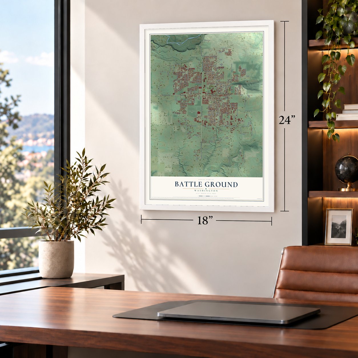
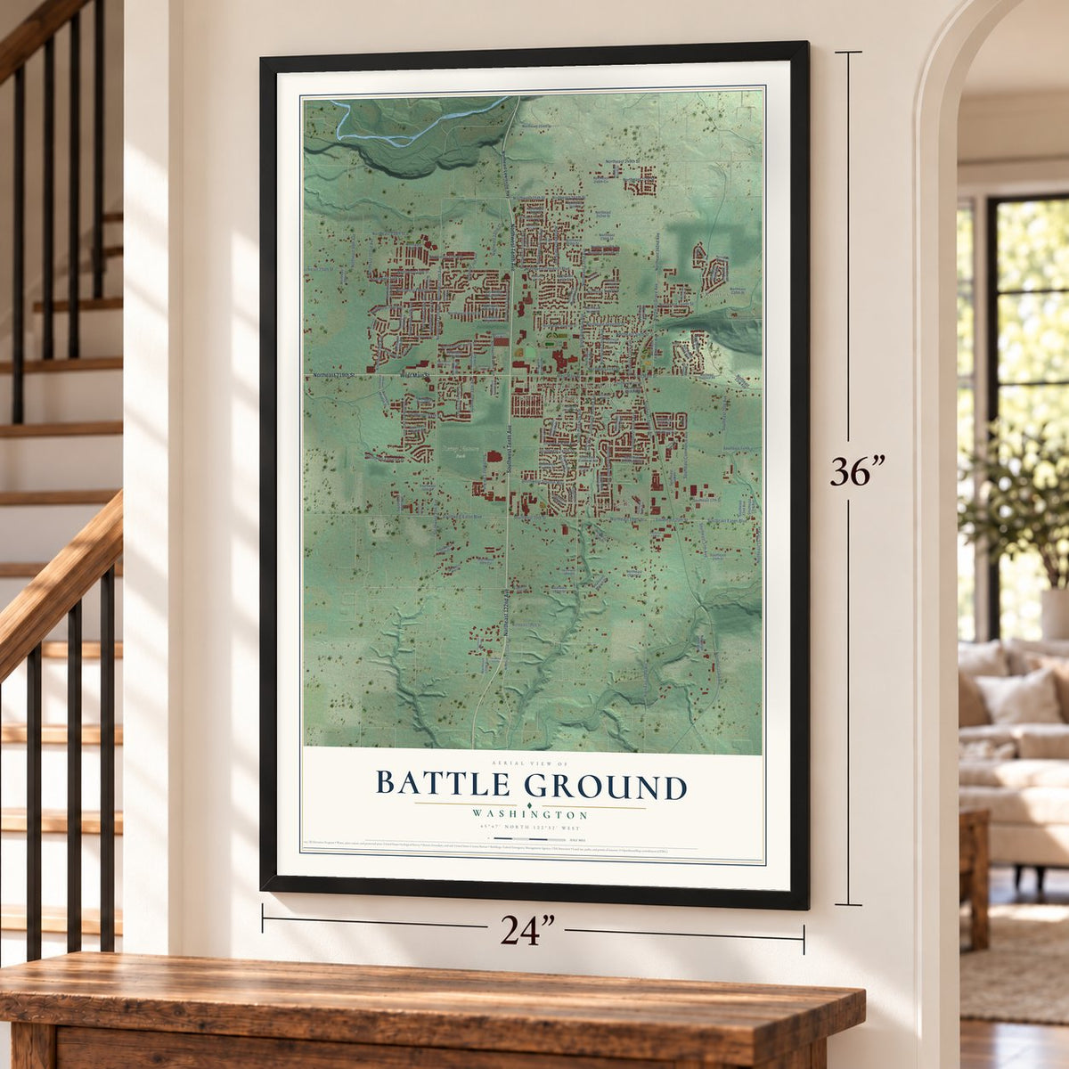

Free U.S. delivery 7 to 10 days after you order
Battle Ground, Washington Map Art
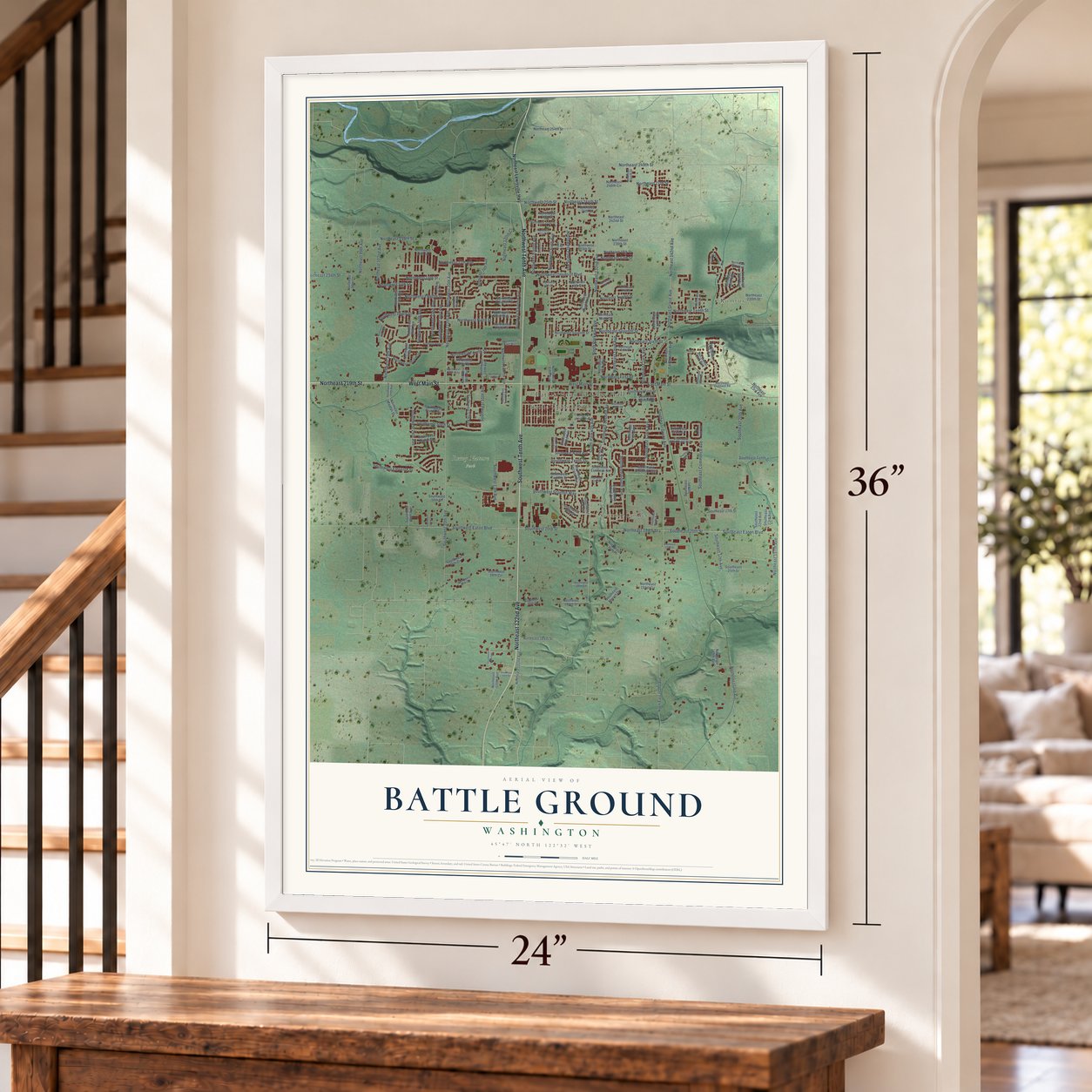
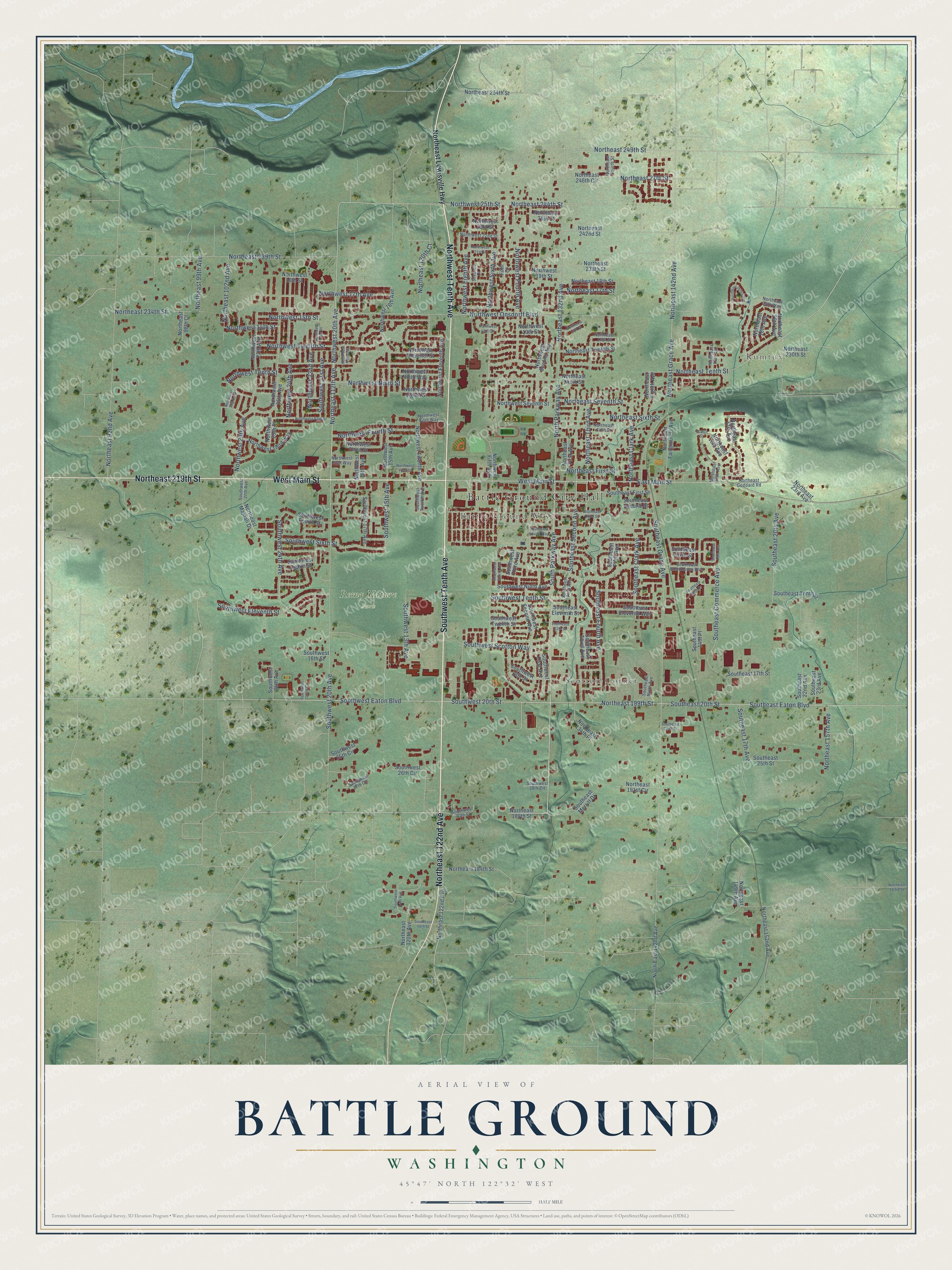
A new map of Battle Ground, Washington, made in 2026 and printed to order on thick archival matte paper.
12" x 18" Archival Matte Print
A Map of Home. A Work of Art.
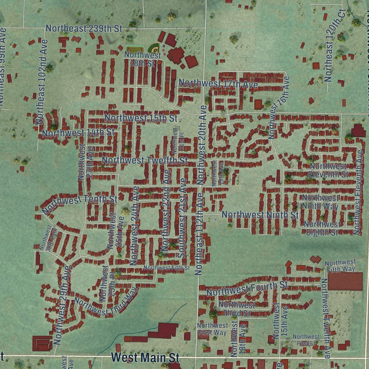
Explore Battle Ground, Washington from a whole new perspective. Created using aerial imagery and detailed geographic data, this map captures Battle Ground building by building, with labeled streets, familiar landmarks, and shaded topographical relief that highlights the natural contours of the landscape.
Combining modern data with the timeless character of a vintage atlas, this map is just as interesting up close as it is beautiful on the wall. Whether you grew up in Battle Ground, spent memorable years there, or call it home today, this unique map is a great way to celebrate a place that means something to you. Zoom in on the preview to look for your street, and then order a print to put your memories on the wall.
Three ways to hang it
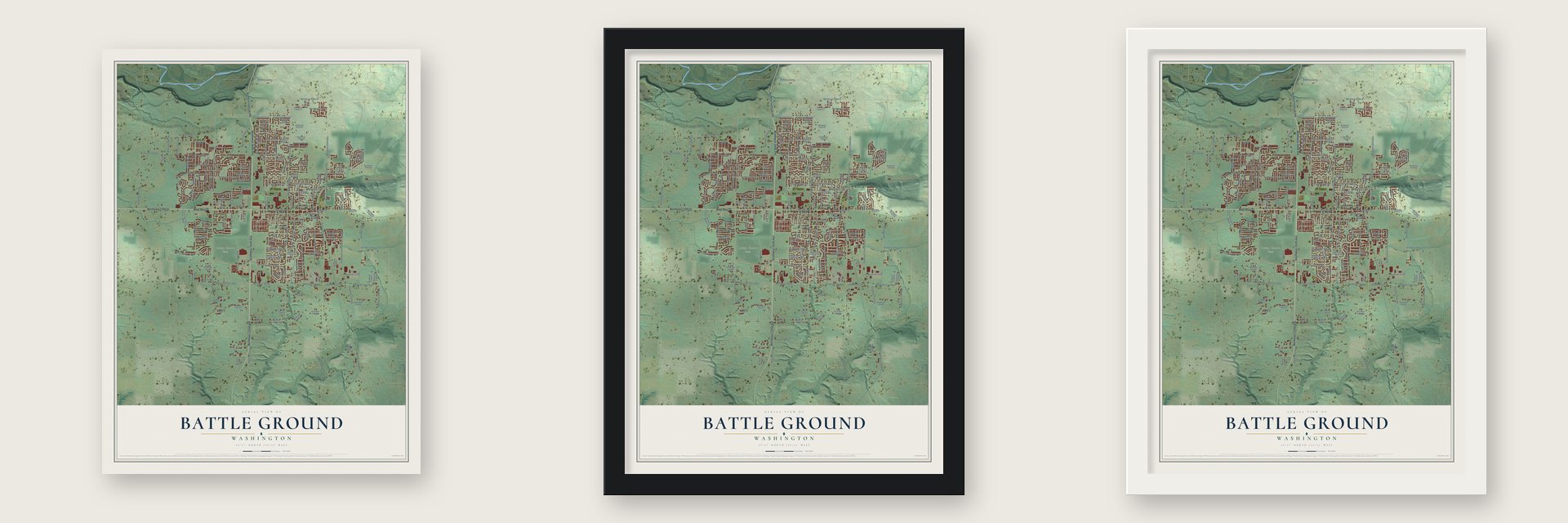
Unframed archival matte, a black wood frame or a white wood frame.
Up close
Geography Worth Displaying
This map was created using accurate cartographic data and authoritative geographic sources, including the U.S. Geological Survey and the Census Bureau. The map brings together terrain, waterways, roads, and building detail. The majority of the streets are labeled, houses are accurately depicted, and the topography is derived from government sources. Combining local data with carefully composed color and shading leads to this beautifully detailed Battle Ground artwork for your wall.
Rather than simply showing street outlines, we’ve included as many of the street names as we could reasonably fit on the map while keeping their names legible. Zoom in on the high resolution preview to see exactly what’s on the map. We truly set out to create a statement piece for anyone who loves Battle Ground. So whether it’s for you, or a gift for someone you love, we hope this map of Battle Ground brings back fond memories.
Read the story behind this map of Battle Ground, Washington from 2026.

About Battle Ground, Washington
Battle Ground is a city of 20,743 people near the center of Clark County. In November 1855, during the Yakama War, false rumors of an uprising spread near Fort Vancouver. A band of Indians led by Chief Umtuch feared an attack, so they slipped away from their camp by the fort. Captain William Strong led a militia cavalry company after them. The two groups met around November 7, 1855, near today's Battle Ground Lake, and after long talks the band agreed to go back.
Then a shot killed Umtuch, and accounts still disagree about who fired it. Strong let the band stay behind to bury their chief and rode back without them. That angered the settlers at the fort: one cut his face with a knife, and the women handed him a red petticoat to fly as his banner. A few days later the band returned as promised. The settlers' mocking name for the site, Strong's Battle Ground, was soon cut to Battle Ground.
“bushy flat land with some dead timber … rich bottomland soil interspersed with swamps … either knee-deep in mud or dust, depending on the time of year”
- A name that moved westAt first the name belonged to the land near the lake. That area, now called Crawford, was known as Battle Ground for years and then briefly as Old Battle Ground. The first Battle Ground post office opened there in 1871, in the home of Sylvester Pease. When the railroad came through in 1902, the name passed to the town alone, and its first plat was recorded the next year.
- First homesteader in 1862John Tuke (1826-1922), born in Ireland, was the first homesteader in the middle of the county. He claimed land beside the hill now called Tukes Mountain, just east of today's city, and farmed it. He is buried in Sacred Heart Catholic Cemetery, which began as Dublin Cemetery.
- Dublin and Maple GroveIn the mid-1860s, Irish families named Farrell, O'Brien and O'Donnell started a settlement called Dublin, just north of today's city. Maple Grove grew up to its south. George Gasaway filed a claim there in 1865, and William Goodnight's family arrived in 1868. Main Street served as the unofficial line between the two. In 1873 Benjamin N. and Anna Howard Leverich opened a post office in their home, where Benjamin also made chairs.
- Incorporated in 1951Battle Ground became a city on June 18, 1951, the last town in Clark County to incorporate. Timber, farming and dairy kept it going, but it grew slowly until late in the twentieth century. Then its population doubled between 2000 and 2010, and it became the second-largest city in the county.
- A prize float in PortlandEach year Battle Ground sends a float to the Grand Floral Parade of the Portland Rose Festival, and its float in 2019 was its 65th. In 2006 it won the Sweepstakes Award for the parade's most outstanding float. At home, the city holds Harvest Days every summer, with parades and a chili cook-off.
Find your street
Names on the Battle Ground map
Every name below is printed on this map. Look for your street, your school, the park where you played, or the pond down the road.
Places and landmarks5
- Battle Ground City Hall
- Kumtux
- Scotton Corner
- Battle Ground West
- Remy Nature Park
Streets and roads182
- Southwest Tenth Avenue
- Northwest Tenth Avenue
- West Main Street
- Northeast 122nd Avenue
- Northeast 219th Street
- Northeast 132nd Avenue
- South Parkway Avenue
- North Parkway Avenue
- Northeast 244th Street
- East Main Street
- Northwest 25th Street
- Northeast First Street
- Northwest 20th Avenue
- Southwest Eaton Boulevard
- Northeast 199th Street
- Southeast Eaton Boulevard
- Southeast Fourth Avenue
- Southeast 20th Street
- Southwest 20th Street
- Northwest 14th Street
- Northwest Twelfth Street
- Southeast Second Avenue
- Southwest 24th Avenue
- Southeast Grace Avenue
- Southwest 20th Avenue
- Northwest Onsdorff Boulevard
- Southwest Scotton Way
- Northwest Sixth Avenue
- Northeast Grace Avenue
- Northeast 239th Street
Show all 182 streets
- Northwest Tenth Street
- Northeast 92nd Avenue
- Northwest Fourth Avenue
- Northeast 112th Avenue
- Northeast 142nd Avenue
- Northeast Tenth Street
- Southwest Eleventh Street
- Northwest Ninth Street
- Southwest Sixth Street
- Northeast 249th Street
- Southeast Commerce Avenue
- Northeast Third Avenue
- Southwest 13th Avenue
- Northeast Sixth Street
- Southwest 21st Avenue
- Northwest 24th Avenue
- Northwest Fourth Street
- Southeast Clark Avenue
- Southeast 20th Avenue
- Northwest Eighth Avenue
- Northwest 17th Avenue
- Northeast Clark Avenue
- Southeast 17th Avenue
- Southwest Tenth Street
- Northwest 22nd Avenue
- Northeast 234th Street
- Northeast 102nd Avenue
- Northwest 29th Avenue
- Northeast 17th Street
- Northeast Seventh Street
- Southwest 15th Avenue
- Northwest 15th Street
- Northeast 157th Avenue
- Northeast 120th Court
- Northeast 27th Street
- Northeast 99th Avenue
- Northeast Lewisville Highway
- Northeast 189th Street
- Northeast 16th Avenue
- Northeast 18th Avenue
- Northeast 17th Avenue
- Southwest Third Avenue
- Northwest 16th Avenue
- Northwest 18th Street
- Northeast Eighth Avenue
- Southeast Fifth Avenue
- Northwest Second Avenue
- Southeast Eleventh Street
- Southeast Third Avenue
- Southeast 14th Place
- Southwest First Avenue
- Southwest Second Avenue
- Northwest Fifth Avenue
- Northeast 152nd Avenue
- Northwest Twelfth Avenue
- Southeast Tenth Street
- Northwest Seventh Street
- Southwest Ninth Avenue
- Northeast Twelfth Street
- Southwest Fourth Street
- Northwest Eleventh Street
- Southeast Sixth Street
- Northwest 25th Avenue
- Northwest 27th Avenue
- Northwest Eighth Street
- Southeast First Street
- Northwest 15th Avenue
- Southwest Eighth Street
- Northwest 13th Street
- Southeast Eleventh Way
- Northwest 24th Street
- Northwest 19th Street
- Northeast Fairgrounds Avenue
- Northeast First Avenue
- Northeast Majdali Drive
- Southeast 17th Street
- Southeast 22nd Avenue
- Southeast Second Street
- Northwest Third Way
- Northwest Eleventh Avenue
- Northwest 18th Avenue
- Northwest 23rd Street
- Northeast 191st Circle
- Southwest 26th Circle
- North East 142nd Avenue
- Southeast Merritt Drive
- Southwest Twelfth Street
- Northeast 184th Street
- Southwest 17th Avenue
- Northeast 134th Place
- Southwest 18th Street
- Northeast 120th Avenue
- Northeast 246th Circle
- Northeast 242nd Street
- Northeast 254th Street
- Northeast 18th Street
- Northwest Ninth Way
- Southeast 25th Street
- Northeast Ninth Street
- Southwest 25th Circle
- Northwest 25th Place
- Northeast 20th Avenue
- Southwest 25th Avenue
- Northwest Third Street
- Southeast 23rd Avenue
- Northeast 98th Court
- Southwest 16th Street
- Northeast 149th Avenue
- Northeast 238th Street
- Northeast 23rd Avenue
- Northeast 230th Street
- Fifth Court
- Southwest 30th Street
- Southeast Rasmussen Boulevard
- Northeast Fourth Street
- Southeast First Avenue
- Northeast 14th Avenue
- Southwest 27th Avenue
- Southwest Twelfth Avenue
- Northeast Fifth Street
- Northwest First Way
- Northwest 22nd Street
- Southeast Ninth Avenue
- Northeast 16th Way
- Southwest 27th Circle
- Northeast Goddard Road
- Southwest 28th Circle
- Northwest Fifth Way
- Northeast 15th Avenue
- Northeast 13th Street
- Seventh Court
- Southwest 14th Avenue
- Southwest Fourth Avenue
- Northwest Fifth Street
- Northwest 19th Avenue
- Southeast Third Street
- Southeast 13th Street
- Northwest 21st Place
- Southwest Fourth Way
- Northeast 16th Loop
- Northwest 21st Street
- Northeast 14th Street
- Northwest First Street
- Southeast 40th Street
- Northwest 13th Circle
- Northeast 183rd Street
- Southwest 22nd Court
- Southeast 15th Avenue
- Southeast Ninth Drive
- Northwest 30th Path
- Southeast 22nd Street
- Fourth Street
Names are listed as they appear on the printed map. Zoom into the product photos to find them.
The art of mapping a place
How This Map Was Made
Real places. Remarkable detail. Discover the layers that turn geographic data into a map of home.

The view from above
Aerial imagery reveals the character of the land: woodland, open fields, and the patterns of a place.

The shape of the land
Elevation data brings hills, valleys, and subtle changes in the landscape into view.

The details of home
Roads, waterways, and building footprints come together to make the map feel unmistakably local.

Geography becomes art
Considered color, shading, and typography bring the layers together in a map made for your wall.


Process illustrated with Mendon, Massachusetts. Aerial imagery: USDA NAIP. Terrain: USGS 3D Elevation Program. Map details and finished artwork: KNOWOL.
The Details
About This Print
Choose an archival matte print, or a black or white Ayous wood frame. The archival matte print is unframed.
Select your size and finish above to see the matching product image and price.
Materials & Craftsmanship
A contemporary map with the character of a classic atlas, printed on archival matte paper. Optional frames are made from Ayous wood.
Your printed map does not include the watermark shown in the full-map preview.
Shipping & Delivery
Free shipping within the United States. Every print is made to order in the USA.
Buying a gift? Add a note in your cart and we'll include it. We never put prices in the package.
Prints ship within 2 to 3 business days. Allow 7 to 10 days total from ordering for delivery. Timing may vary during holidays or periods of high order volume.
Read our shipping policy.
Returns and damaged prints
Each print is made to order. Change-of-mind refunds are not available after production.
If your print arrives damaged, misprinted or incorrect, contact support@knowol.com within 30 days of receiving it. Include your order number, photos and a description of the issue.
Read our full refund and replacement policy. For questions about your order, email support@knowol.com.
Find your town
Looking for another city?
Find a map of home in our Washington collection, or any town in the country.
Nearby
Maps of towns near Battle Ground
Know someone from one of these towns? Their map makes a great gift.
 Meadow Glade
, Washington
From $39.99See the map
 Cherry Grove
, Washington
From $39.99See the map
 Dollars Corner
, Washington
From $39.99See the map
More maps nearby: Lewisville, Venersborg, Brush Prairie, Hockinson and Duluth.