
Search for another town



Free U.S. delivery 7 to 10 days after you order
Beaufort, North Carolina Map Art
Building by building, with labeled streets and shaded relief.
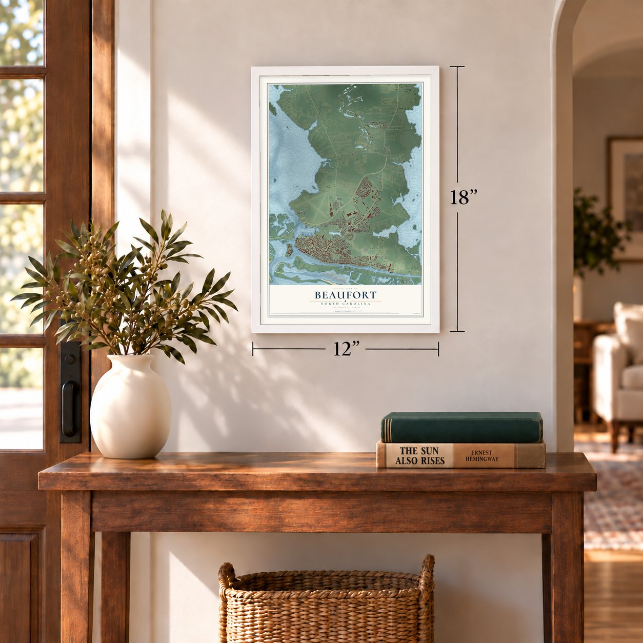
12" x 18" Archival Matte Print
A Map of Home. A Work of Art.
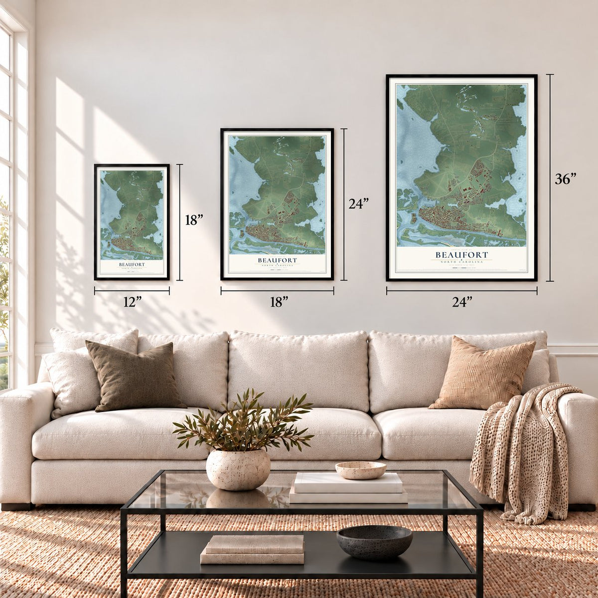
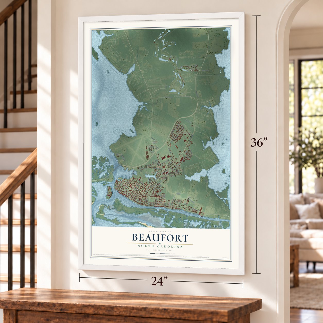
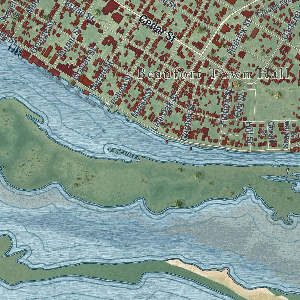
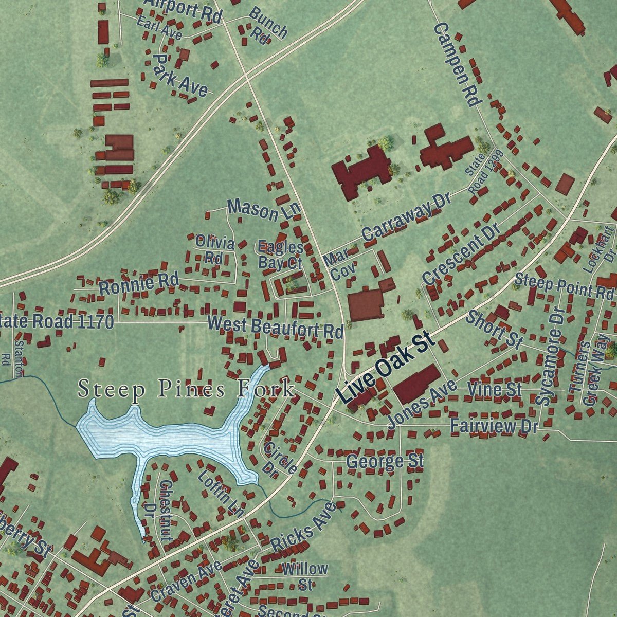
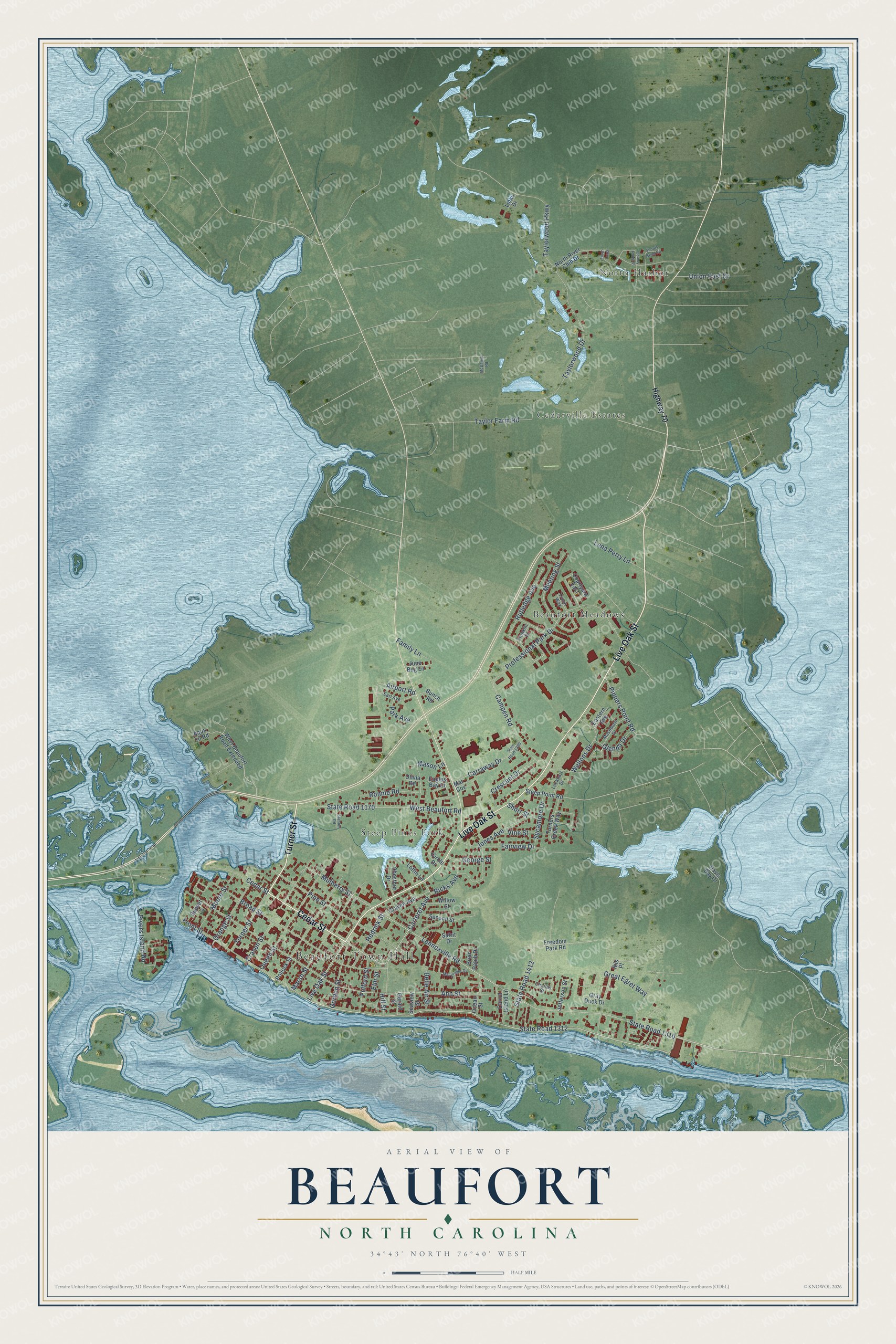
Explore Beaufort, North Carolina from a whole new perspective. Created using aerial imagery and detailed geographic data, this map captures Beaufort building by building, with labeled streets, familiar landmarks, and shaded topographical relief that highlights the natural contours of the landscape.
Combining modern data with the timeless character of a vintage atlas, this map is just as interesting up close as it is beautiful on the wall. Whether you grew up in Beaufort, spent memorable years there, or call it home today, this unique map is a great way to celebrate a place that means something to you. Zoom in on the preview to look for your street, and then order a print to put your memories on the wall.
Three ways to hang it
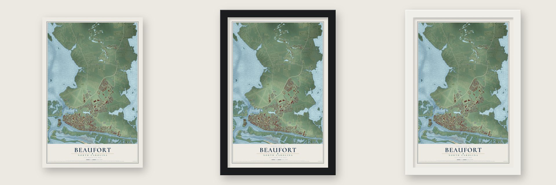
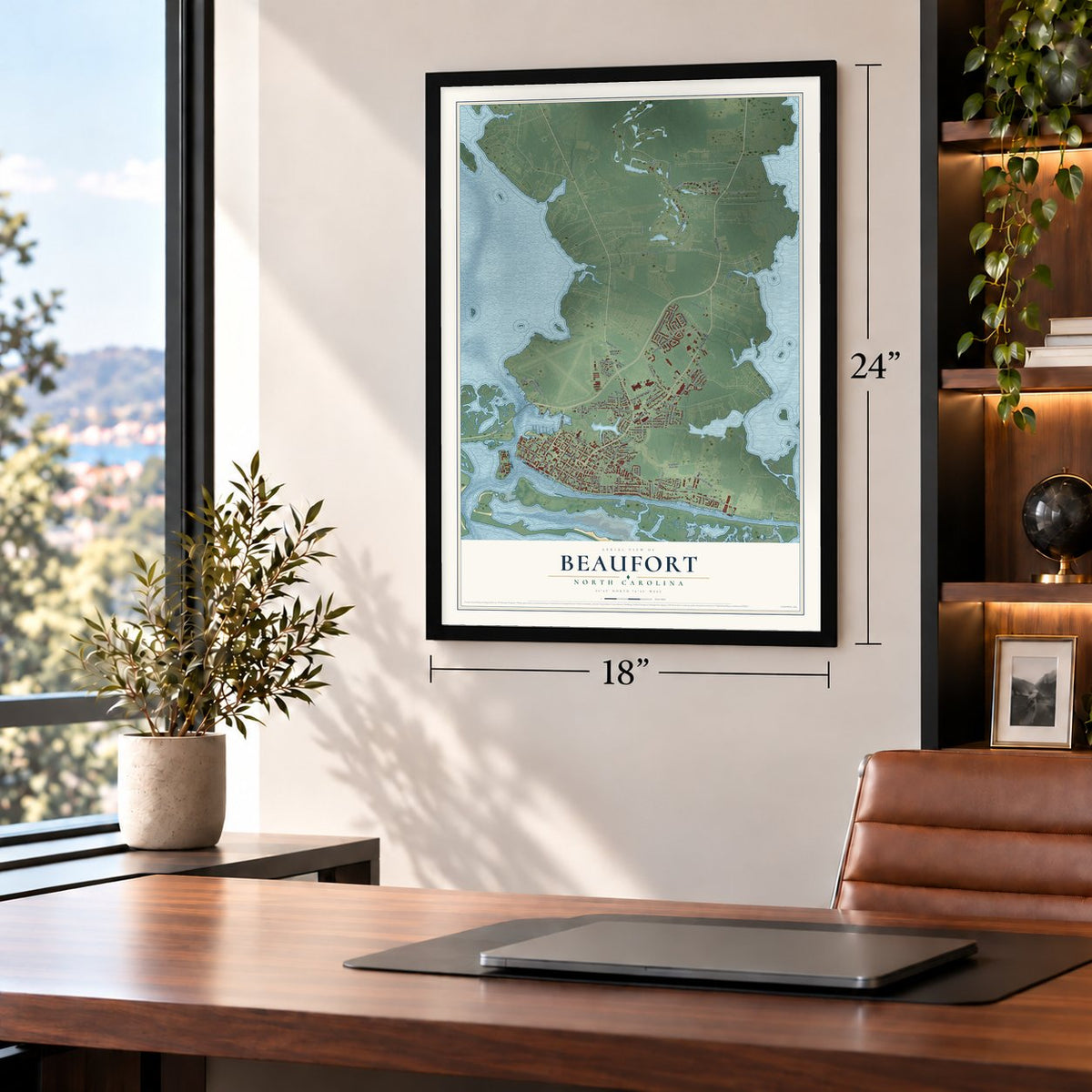
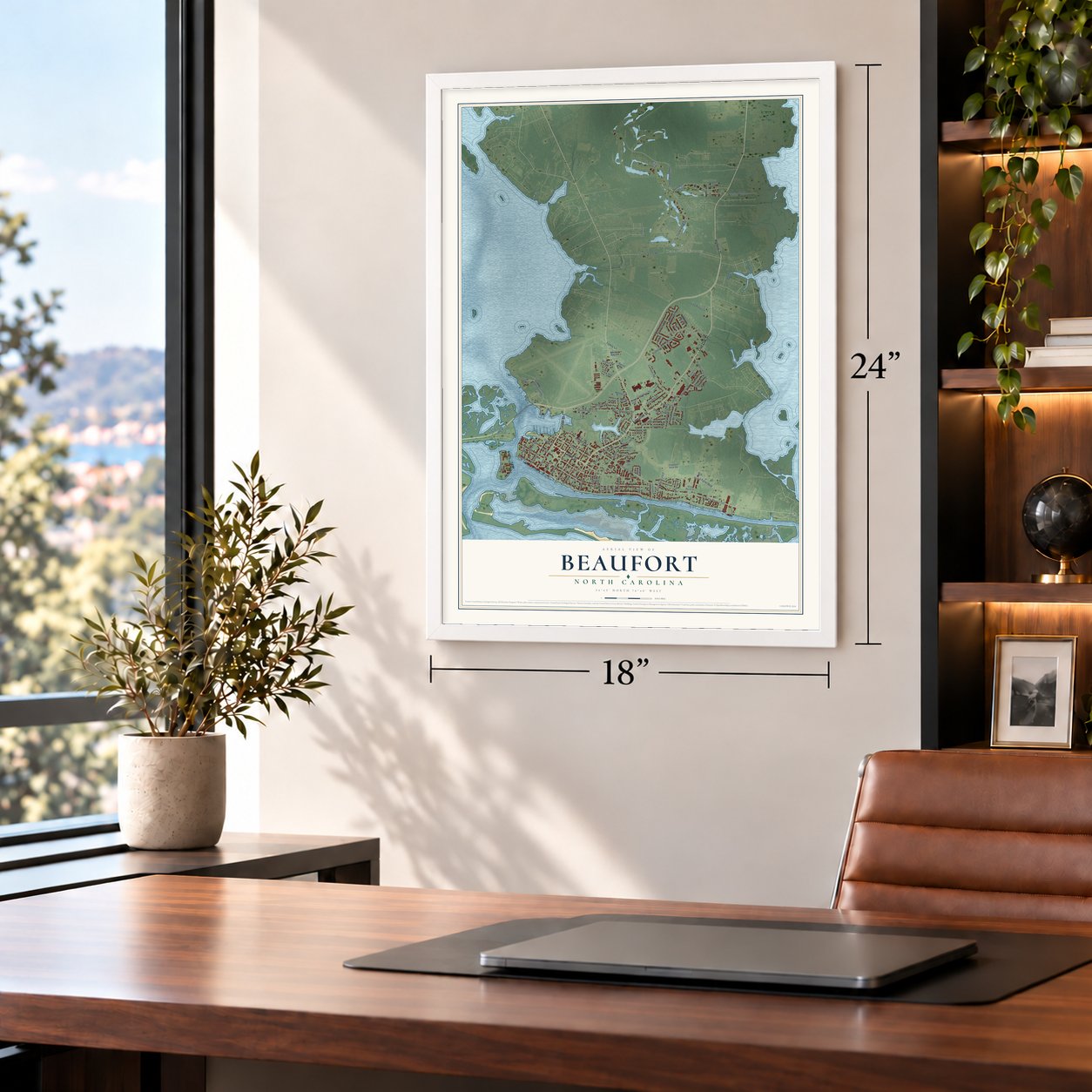
Unframed archival matte, a black wood frame or a white wood frame.
Up close
Geography Worth Displaying
This map was created using accurate cartographic data and authoritative geographic sources, including the U.S. Geological Survey and the Census Bureau. The map brings together terrain, waterways, roads, and building detail. The majority of the streets are labeled, houses are accurately depicted, and the topography is derived from government sources. Combining local data with carefully composed color and shading leads to this beautifully detailed Beaufort artwork for your wall.
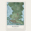
Rather than simply showing street outlines, we’ve included as many of the street names as we could reasonably fit on the map while keeping their names legible. Zoom in on the high resolution preview to see exactly what’s on the map. We truly set out to create a statement piece for anyone who loves Beaufort. So whether it’s for you, or a gift for someone you love, we hope this map of Beaufort brings back fond memories.
Read the story behind this map of Beaufort, North Carolina from 2026.
Find your street
Names on the Beaufort map
Every name below is printed on this map. Look for your street, your school, the park where you played, or the pond down the road.
Places and landmarks5
- Beaufort Town Hall
- North Harbor
- Cedarville Estates
- Beaufort Meadows
- Steep Pines Fork
Streets and roads100
- Turner Street
- Cedar Street
- Live Oak Street
- State Road 1312
- Carteret Avenue
- Fairview Drive
- Hedrick Street
- West Beaufort Road
- Pivers Island Road
- Front Street
- State Road 1310
- Lennoxville Road
- Ann Street
- Mulberry Street
- State Road 1170
- Broad Street
- Professional Park Drive
- Taylorwood Parkway
- Taylorwood Drive
- Pine Street
- Campen Road
- State Road 1412
- Queen Street
- Craven Street
- Marsh Street
- Orange Street
- Carraway Drive
- Rutledge Avenue
- Meeting Street
- Crescent Drive
Show all 100 streets
- Union East Drive
- Taylor Farm Road
- Wellons Drive
- Moore Street
- Gordon Street
- Great Egret Way
- Pinners Point Road
- Ronnie Road
- Jones Avenue
- Airport Road
- Lena Perry Lane
- Fulford Street
- Sycamore Drive
- Mason Lane
- Glenda Drive
- George Street
- Belle Air Street
- Vine Street
- Family Lane
- Park Avenue
- Ricks Avenue
- Short Street
- Elm Street
- Hill Street
- Highway 70
- West Beaufort Road Extended
- Aqua 10 Road
- North River Club Drive
- Pollock Street
- Second Street
- Courtyard East
- Circle Drive
- Jefferson Street
- Craven Avenue
- Steep Point Road
- Gray Duck Drive
- Briar Patch Drive
- Turners Creek Way
- Ocean Street
- Freedom Park Road
- Carrot Island Lane
- Chestnut Drive
- Willow Street
- Eagles Bay Court
- Mar Cov
- Eastern Avenue
- Sunset Lane
- Bunch Road
- Safrit Drive
- Loftin Lane
- June Bug Lane
- Gerald Street
- Davis Bay Drive
- Seaview Street
- Links Drive
- Ibis Place
- Olivia Road
- Charles Street
- Earl Avenue
- Mashburn Drive
- Lockhart Drive
- Troon Way
- Franklin Street
- State Road 1299
- Macgregor Drive
- Colony Point Street
- Stanton Road
- Finch Loop
- Scouts Bend Road
- McDaniel Road
Names are listed as they appear on the printed map. Zoom into the product photos to find them.
About Beaufort, North Carolina
Beaufort is a town of 4,464 people and the seat of Carteret County. It sits near Beaufort Inlet, with the tidal Newport River on its west side. European settlers came in about 1709 to land that had been Cwarioc, a Coree village. Surveyors mapped the town in 1713, once the Tuscarora War had ended. Beaufort is counted as North Carolina's third oldest town, after Bath and New Bern.
On April 4, 1722, officials serving the lords proprietors of Carolina named Beaufort a port where ships could unload. On November 23, 1723, Beaufort became an incorporated town. Its ships carried tar, pitch, turpentine, wooden goods and corn, much of it to the West Indies. The town grew in 1728 and sold new lots, but it stayed small. Spanish privateers held it for a short time in 1747.
- Blackbeard's wreck in 1718In June 1718 Blackbeard lost two ships, his flagship Queen Anne's Revenge and the sloop Adventure. Both went aground near what is now Beaufort Inlet. In August 1750 a hurricane drove at least three Spanish merchant ships ashore on the North Carolina coast. One of them, the El Salvador, sank near Cape Lookout.
- Fort Macon and Union TownIn April 1861, as the Secession Crisis grew, local men formed a militia and seized nearby Fort Macon. Union forces took the town back in March 1862, as part of Burnside's campaign on the coast. By 1863 people fleeing slavery were coming here. A camp called Union Town grew up on the north side of town to shelter them. Federal troops stayed through Reconstruction, until 1877.
- Vacationers, then the railroadBeaufort grew slowly before the Civil War. Still, by the middle of the 19th century it drew vacationers, and several merchants and hotelkeepers did well here. Railroad tracks reached the town in 1906. A station went up, and trains began running the next year.
- A home for marine scienceJohns Hopkins University's Chesapeake Zoological Laboratory paid for the first lasting marine research in Beaufort. Today Duke University's Marine Laboratory and NOAA's Center for Coastal Fisheries and Habitat Research work here. So does the North Carolina Maritime Museum, and the Rachel Carson Reserve is here too.
- America's Coolest Small TownOn February 1, 2012, readers of Budget Travel Magazine voted Beaufort America's Coolest Small Town. Each year the town holds the Beaufort Pirate Invasion and the Beaufort Music Festival. The North Carolina Maritime Museum hosts a Wooden Boat Show.
Keep exploring North Carolina
Beaufort is one of 935 North Carolina towns we've mapped. Every dot on the map is a print of its own.
The search covers every state, North Carolina first.
Near Beaufort
Order 2 or more town maps and save 10%. Shown in the size and finish you picked above, so they hang as a set.
- Morehead City 12" x 18" / Archival Matte Print $39.99
- Atlantic Beach 12" x 18" / Archival Matte Print $39.99
- Harkers Island 12" x 18" / Archival Matte Print $39.99
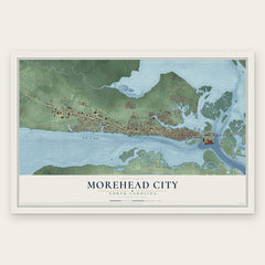
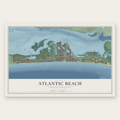

More maps nearby: Gloucester, Marshallberg, Smyrna, Brandywine Bay and Pine Knoll Shores.
The art of mapping a place
How This Map Was Made
Real places. Remarkable detail. Discover the layers that turn geographic data into a map of home.

The view from above
Aerial imagery reveals the character of the land: woodland, open fields, and the patterns of a place.

The shape of the land
Elevation data brings hills, valleys, and subtle changes in the landscape into view.

The details of home
Roads, waterways, and building footprints come together to make the map feel unmistakably local.

Geography becomes art
Considered color, shading, and typography bring the layers together in a map made for your wall.


Process illustrated with Mendon, Massachusetts. Aerial imagery: USDA NAIP. Terrain: USGS 3D Elevation Program. Map details and finished artwork: KNOWOL.
The Details
About This Print
Choose an archival matte print, or a black or white Ayous wood frame. The archival matte print is unframed.
Select your size and finish above to see the matching product image and price.
Materials & Craftsmanship
A contemporary map with the character of a classic atlas, printed on archival matte paper. Optional frames are made from Ayous wood.
Your printed map does not include the watermark shown in the full-map preview.
Shipping & Delivery
Free shipping within the United States. Every print is made to order in the USA.
Buying a gift? Add a note in your cart and we'll include it. We never put prices in the package.
Prints ship within 2 to 3 business days. Allow 7 to 10 days total from ordering for delivery. Timing may vary during holidays or periods of high order volume.
Read our shipping policy.
Returns and damaged prints
Each print is made to order. Change-of-mind refunds are not available after production.
If your print arrives damaged, misprinted or incorrect, contact support@knowol.com within 30 days of receiving it. Include your order number, photos and a description of the issue.
Read our full refund and replacement policy. For questions about your order, email support@knowol.com.