
Search for another town




Free U.S. delivery 7 to 10 days after you order
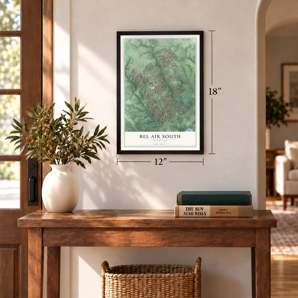
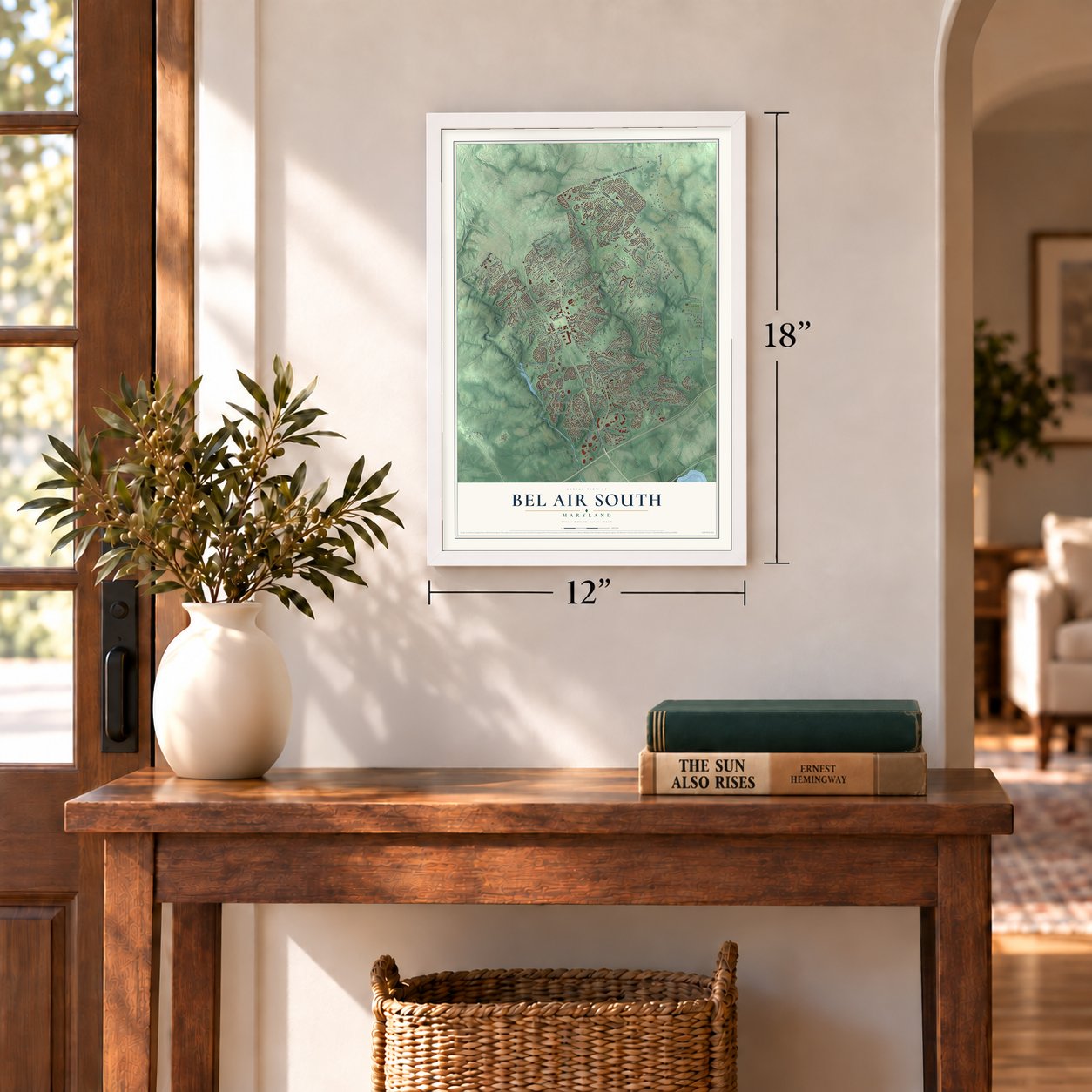
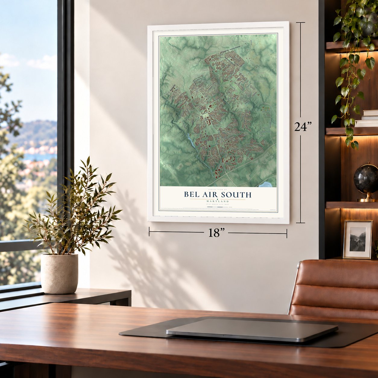
Bel Air South, Maryland Map Art
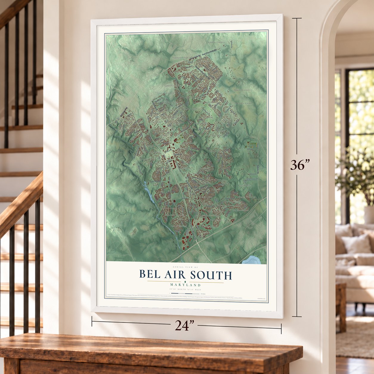
Building by building, with labeled streets and shaded relief.
12" x 18" Archival Matte Print
A Map of Home. A Work of Art.
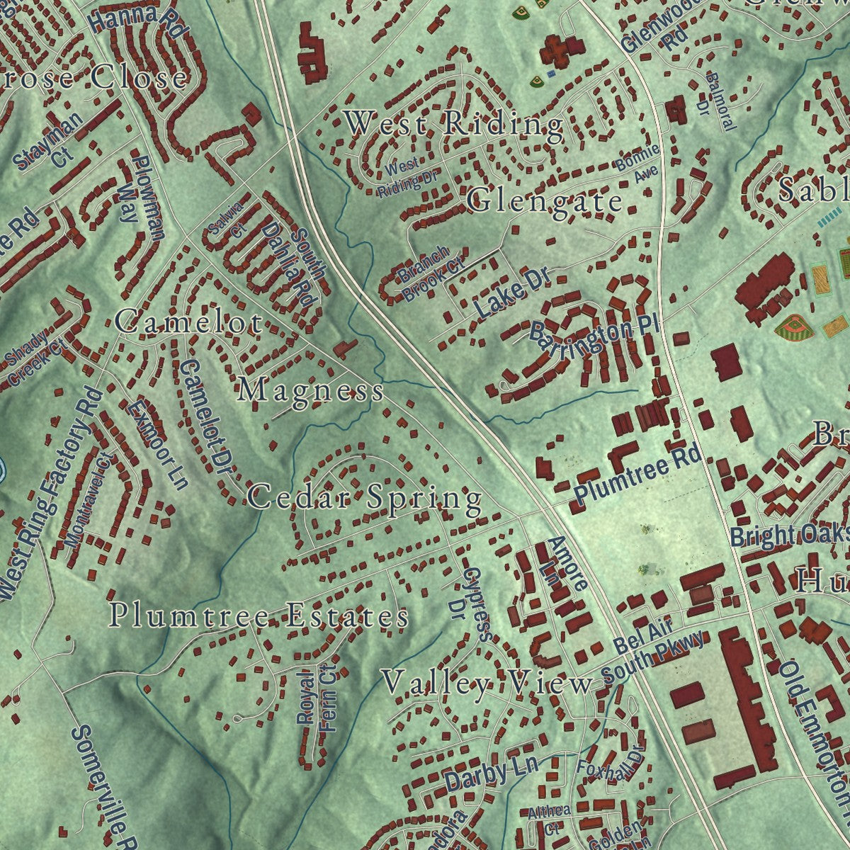
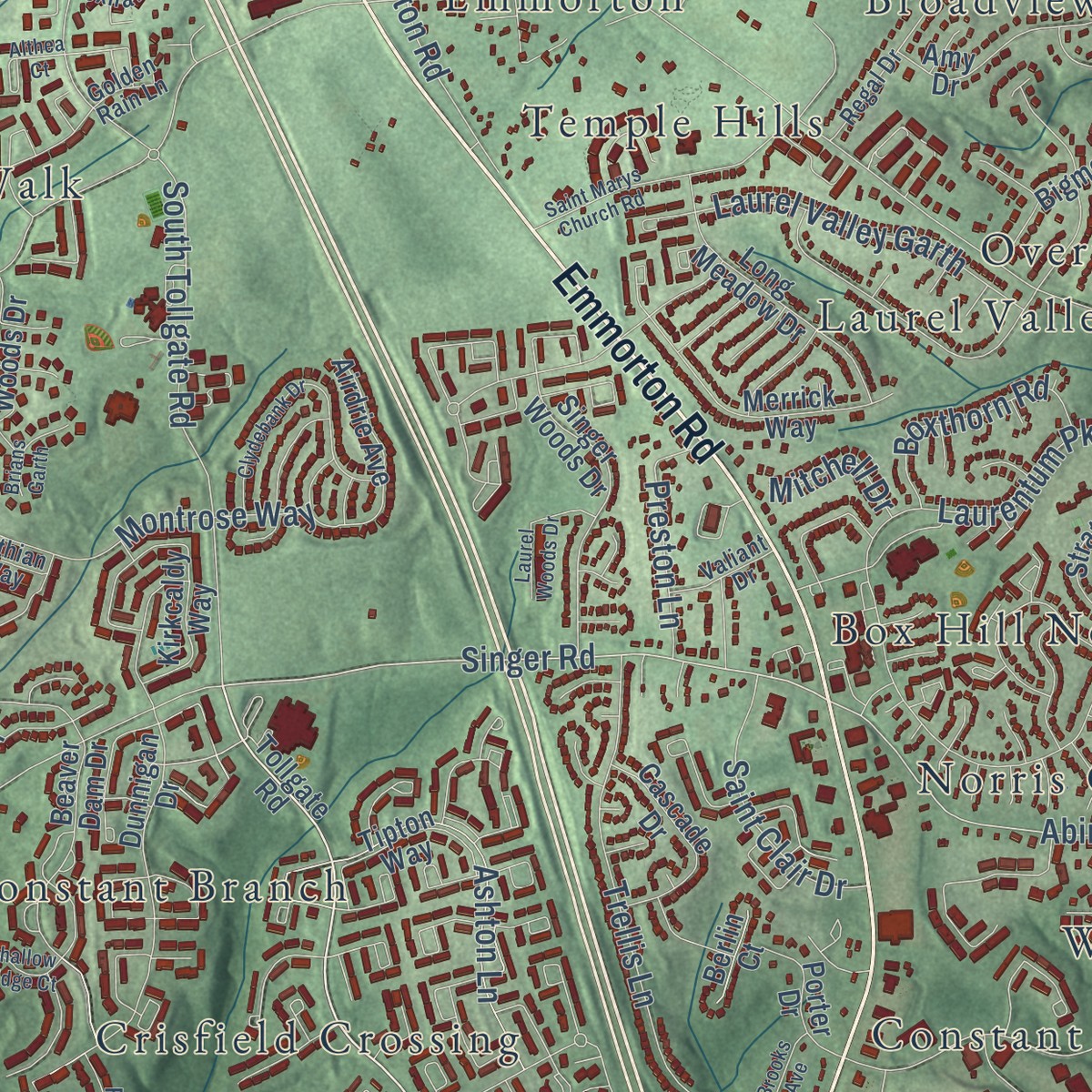
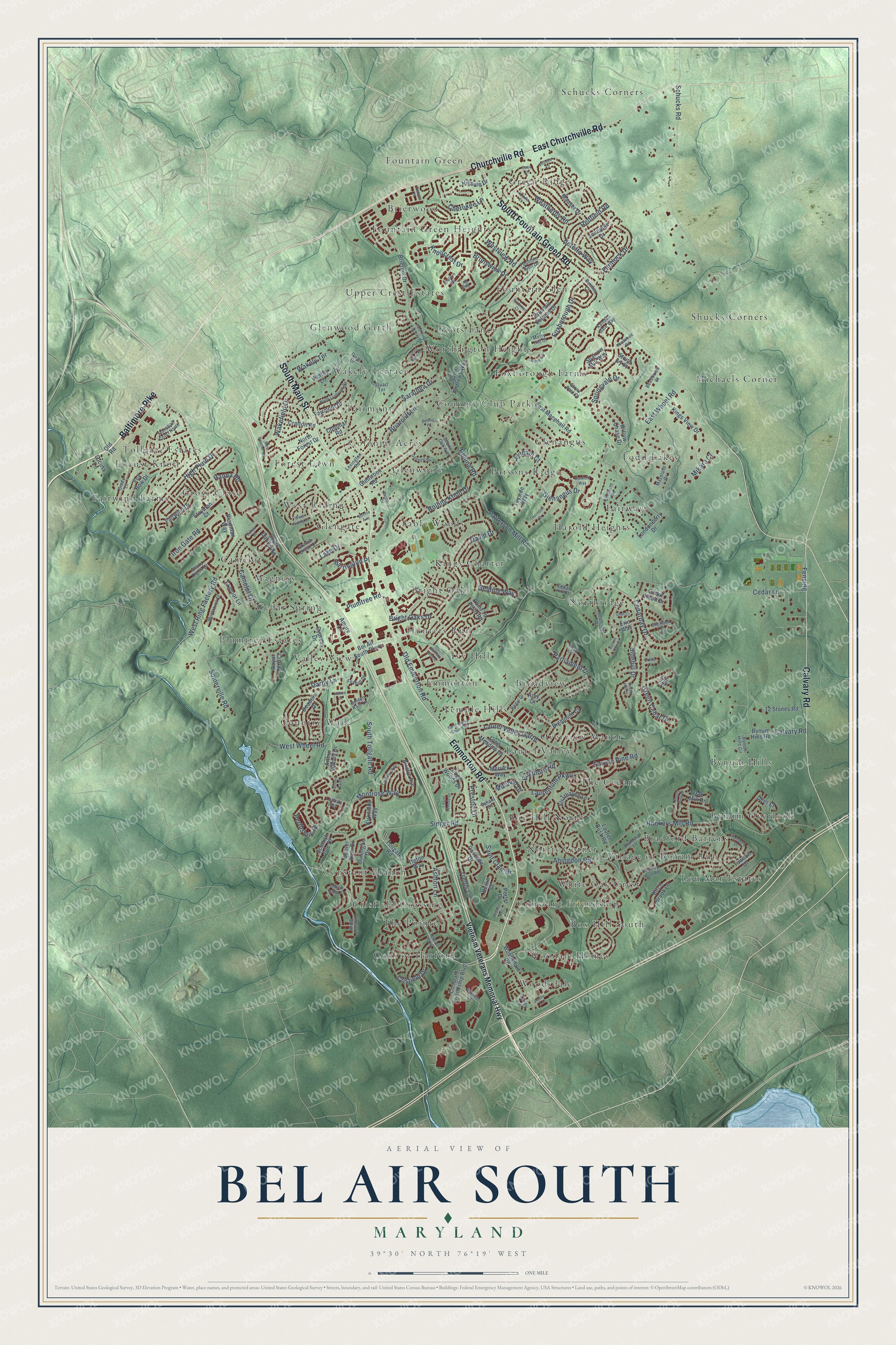
Explore Bel Air South, Maryland from a whole new perspective. Created using aerial imagery and detailed geographic data, this map captures Bel Air South building by building, with labeled streets, familiar landmarks, and shaded topographical relief that highlights the natural contours of the landscape.
Combining modern data with the timeless character of a vintage atlas, this map is just as interesting up close as it is beautiful on the wall. Whether you grew up in Bel Air South, spent memorable years there, or call it home today, this unique map is a great way to celebrate a place that means something to you. Zoom in on the preview to look for your street, and then order a print to put your memories on the wall.
Three ways to hang it
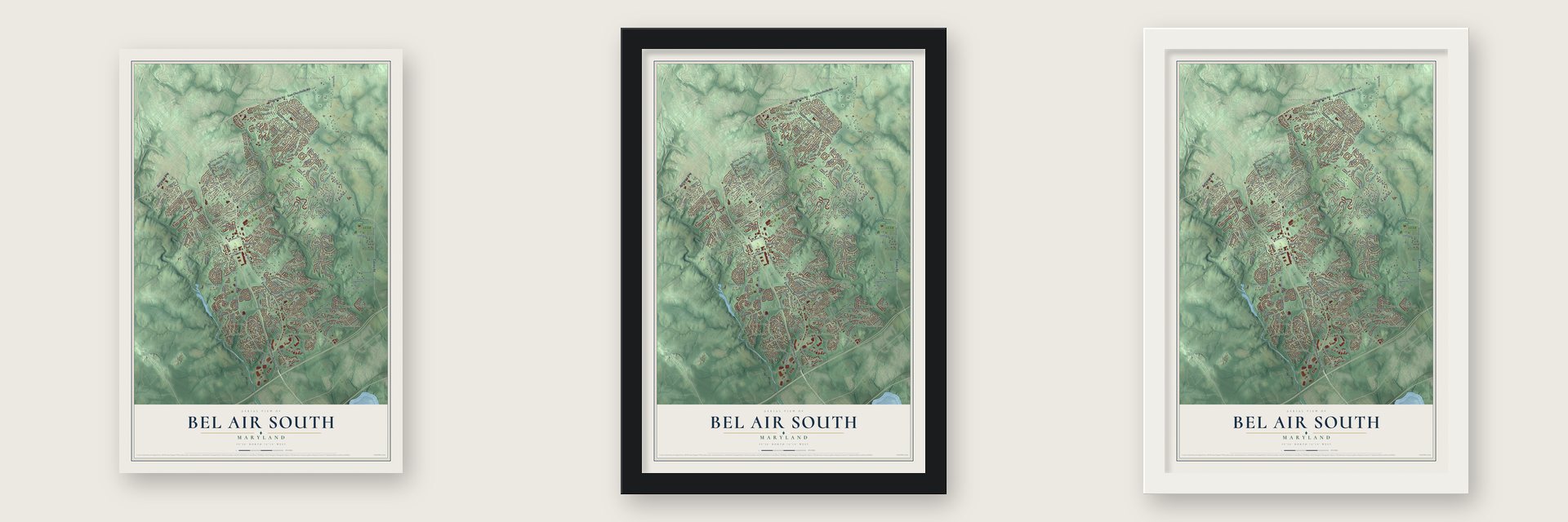
Unframed archival matte, a black wood frame or a white wood frame.
Up close
Geography Worth Displaying
This map was created using accurate cartographic data and authoritative geographic sources, including the U.S. Geological Survey and the Census Bureau. The map brings together terrain, waterways, roads, and building detail. The majority of the streets are labeled, houses are accurately depicted, and the topography is derived from government sources. Combining local data with carefully composed color and shading leads to this beautifully detailed Bel Air South artwork for your wall.
Rather than simply showing street outlines, we’ve included as many of the street names as we could reasonably fit on the map while keeping their names legible. Zoom in on the high resolution preview to see exactly what’s on the map. We truly set out to create a statement piece for anyone who loves Bel Air South. So whether it’s for you, or a gift for someone you love, we hope this map of Bel Air South brings back fond memories.
Read the story behind this map of Bel Air South, Maryland from 2026.
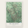
Find your street
Names on the Bel Air South map
Every name below is printed on this map. Look for your street, your school, the park where you played, or the pond down the road.
Places and landmarks64
- Harold Heights
- Oaks of Harford
- Schucks Corners
- Locust Knoll
- Village of Bynum Run
- Fountain Green Heights
- Country Walk
- Shucks Corners
- Hunters Run
- Box Hill South
- Worthington Heights
- Green Ridge
Show all 64 places
- Laurel Valley
- Cedar Spring
- Bynum Hills
- Foxborough Farms
- Michaels Corner
- Constant Branch
- Kings Charter
- Woodsdale
- Todd Lakes
- Overview Manor
- Norris Corner
- West Riding
- Glenwood
- Northridge
- Grose Close
- Wakely Terrace
- Fountain Glen
- Glenangus
- Brierwood
- Plumtree Estates
- Upper Crest Estates
- Constant Friendship
- Bynum Overlook
- Emmorton
- Sable Woods
- Parsons Ridge
- Crisfield Crossing
- Scots Fancy
- Bright Oaks
- Broadview
- Fairway
- Valley View
- Box Hill North
- Fountain Green
- Camelot
- White Oak Crest
- The Cedars
- Ivy Hill
- Tollgate Estates
- Lou Mar Estates
- The Pointe
- Fairmont
- Country Club Park
- Woodale Homes
- Fairwind Farms
- Bradford Barrens
- Colonial Acres
- Temple Hills
- Forest Lawn
- Magness
- Glenwood Garth
- Glengate
Streets and roads197
- Emmorton Road
- Churchville Road
- East Churchville Road
- South Main Street
- Baltimore Pike
- South Fountain Green Road
- Calvary Road
- South Tollgate Road
- Singer Road
- Abingdon Road
- Knollcrest Drive
- Crisfield Drive
- Lake Drive
- East Wheel Road
- Cedar Lane
- West Ring Factory Road
- Hookers Mill Road
- Schucks Road
- Redfield Road
- Patterson Mill Road
- Plumtree Road
- West Wheel Road
- Flintlock Drive
- Glenangus Drive
- Montrose Way
- Iron Gate Road
- Cedarday Drive
- Foxborough Drive
- Trellis Lane
- Laurentum Parkway
Show all 197 streets
- High Plain Drive
- Ashton Lane
- Briarcliff Lane
- Somerville Road
- Parliament Drive
- Bright Oaks Drive
- Green Cedar Drive
- Sidehill Drive
- Old Emmorton Road
- Saratoga Drive
- Springvale Drive
- Rolling Knoll Drive
- Rolling Road
- Laurel Valley Garth
- Weatherby Road
- Camelot Drive
- Hanna Road
- David Drive
- Saint Clair Drive
- Beretta Way
- Cherokee Lane
- Boxthorn Road
- Spruce Pine Road
- Preston Lane
- Wakefield Drive
- Perthshire Place
- Fencing
- Darby Lane
- Brunswick Drive
- Barrington Place
- Westview Road
- Gelding Way
- Mitchell Drive
- Mikara Court
- Lytham Court
- Vietnam Veterans Memorial Highway
- Tollgate Road
- Bel Air South Parkway
- Brierhill Drive
- East Macphail Road
- Laurel Bush Road
- Glenwood Road
- Cypress Drive
- Brierhill Estates Drive
- Sparrow Mill Way
- Constant Friendship Boulevard
- Dunnigan Drive
- Fox Bow Drive
- Fairwind Drive
- Kings View Drive
- Deadora Drive
- Point To Point Road
- Mauser Drive
- Woodsdale Road
- Amy Drive
- Beaver Dam Drive
- Kirkcaldy Way
- Singer Woods Drive
- Airdrie Avenue
- Long Meadow Drive
- Bynum Hills Road
- 12 Stones Road
- Hillside Drive
- Erin Way
- Victory Lane
- Merrick Way
- Fairmont Drive
- Strathaven Lane
- Birch Brook Lane
- Willow Chase Drive
- Cascade Drive
- Bigmount Court
- Tipton Way
- Arthur Woods Drive
- Cedar Knoll Drive
- South Dahlia Road
- Tayside Way
- Exmoor Lane
- Saint Andrews Way
- Crafton Road
- Stayman Court
- Colonial Road
- Porter Drive
- Plowman Way
- Londonderry Drive
- North Forest Drive
- Amore Lane
- Towson Drive
- Torey Lane
- Jennings Drive
- Royal Fern Court
- Scottish Isle Drive
- Oak Mill Drive
- Deer Court
- Stone Ivy Place
- Berlin Court
- Locust Lane
- Old Road
- Lilly Court
- Dixie Drive
- Blair Court
- Fountain Glen Drive
- Peverly Run Road
- Bynum Hills Circle
- Regal Drive
- Mazeland Drive
- Selvin Drive
- Lexington Road
- Foreland Garth
- Northridge Drive
- Stone Post Court
- Bentley Circle
- Bradford Lane
- Lothian Way
- Foxhall Drive
- Charter Oak Avenue
- Montravel Court
- Grady Lane
- Beechview Court
- Macphail Court North
- Arundel Court
- Overlook Court
- Kendall Gate Way
- Valiant Drive
- Merry Hill Court
- Branch Brook Court
- Shady Creek Court
- Cedar Hill Court
- Stuart Terrace
- Golden Rain Lane
- Tollgate Parkway
- Althea Court
- East Ring Factory Road
- Dunkeld Way
- Kirby Circle
- Prindle Drive
- West Riding Drive
- Abbey Circle
- Bonnie Avenue
- Clydebank Drive
- Saint Marys Church Road
- West Heather Road
- Shelburne Road
- North Lynbrook Road
- Cass Drive
- Shallow Ridge Court
- Balmoral Drive
- Windwood Road
- Laurel Woods Drive
- Thorndon Drive
- Donegal Road
- Hamburg Drive
- Knotty Pine Drive
- Bynum Run Court
- Sunny View Road
- Kildonan Court
- Brians Garth
- Prindle Court
- Brooks Avenue
- Salvia Court
- Hunters Chase
- Glen Court
- Rolling Place
- Canvas Place
- South Hill Court
- Penny Lane
- Oriole Court
Names are listed as they appear on the printed map. Zoom into the product photos to find them.
About Bel Air South, Maryland
Bel Air South is a census-designated place of 57,648 people in Harford County, lying just below the town of Bel Air, the county seat. Interstate 95 forms its southern line with Edgewood, and Baltimore lies 22 miles to the southwest. The old crossroads of Emmorton sits near its center, and Fountain Green lies in its northeast corner.
In 1761 Colonel Thomas White acquired a tract here called Constant Friendship. White was deputy surveyor-general of Baltimore County, which at the time took in the land that later became Harford, and no one in that part of colonial Maryland held more land than he did.
- Father of a founding bishopThomas White's son, William White, served as chaplain to the Continental Congress. He went on to lead the Episcopal Church as its first presiding bishop.
- A stone school in 1868Maryland's constitutions of 1864 and 1867 required the state to set up free public schools, and Harford County built 69 of them. Emmorton's went up in 1868, and the county built it of stone, the same material it chose for its churches and public buildings. That choice gave the little schoolhouse the same standing as those hubs of county life.
- 57,648 people in 2020The census counted 39,711 people here in 2000 and 47,709 in 2010. By 2020 the count had climbed to 57,648.
Keep exploring Maryland
Bel Air South is one of 877 Maryland towns we've mapped. Every dot on the map is a print of its own.
The search covers every state, Maryland first.
Near Bel Air South
Order 2 or more town maps and save 10%. Shown in the size and finish you picked above, so they hang as a set.
- Bel Air 12" x 18" / Archival Matte Print $39.99
- Abingdon 12" x 18" / Archival Matte Print $39.99
- Bel Air North 12" x 18" / Archival Matte Print $39.99


More maps nearby: Pleasant Hills, Hickory, Churchville, Perryman and Joppatowne.
The art of mapping a place
How This Map Was Made
Real places. Remarkable detail. Discover the layers that turn geographic data into a map of home.

The view from above
Aerial imagery reveals the character of the land: woodland, open fields, and the patterns of a place.

The shape of the land
Elevation data brings hills, valleys, and subtle changes in the landscape into view.

The details of home
Roads, waterways, and building footprints come together to make the map feel unmistakably local.

Geography becomes art
Considered color, shading, and typography bring the layers together in a map made for your wall.


Process illustrated with Mendon, Massachusetts. Aerial imagery: USDA NAIP. Terrain: USGS 3D Elevation Program. Map details and finished artwork: KNOWOL.
The Details
About This Print
Choose an archival matte print, or a black or white Ayous wood frame. The archival matte print is unframed.
Select your size and finish above to see the matching product image and price.
Materials & Craftsmanship
A contemporary map with the character of a classic atlas, printed on archival matte paper. Optional frames are made from Ayous wood.
Your printed map does not include the watermark shown in the full-map preview.
Shipping & Delivery
Free shipping within the United States. Every print is made to order in the USA.
Buying a gift? Add a note in your cart and we'll include it. We never put prices in the package.
Prints ship within 2 to 3 business days. Allow 7 to 10 days total from ordering for delivery. Timing may vary during holidays or periods of high order volume.
Read our shipping policy.
Returns and damaged prints
Each print is made to order. Change-of-mind refunds are not available after production.
If your print arrives damaged, misprinted or incorrect, contact support@knowol.com within 30 days of receiving it. Include your order number, photos and a description of the issue.
Read our full refund and replacement policy. For questions about your order, email support@knowol.com.