
Search for another town





Free U.S. delivery 7 to 10 days after you order
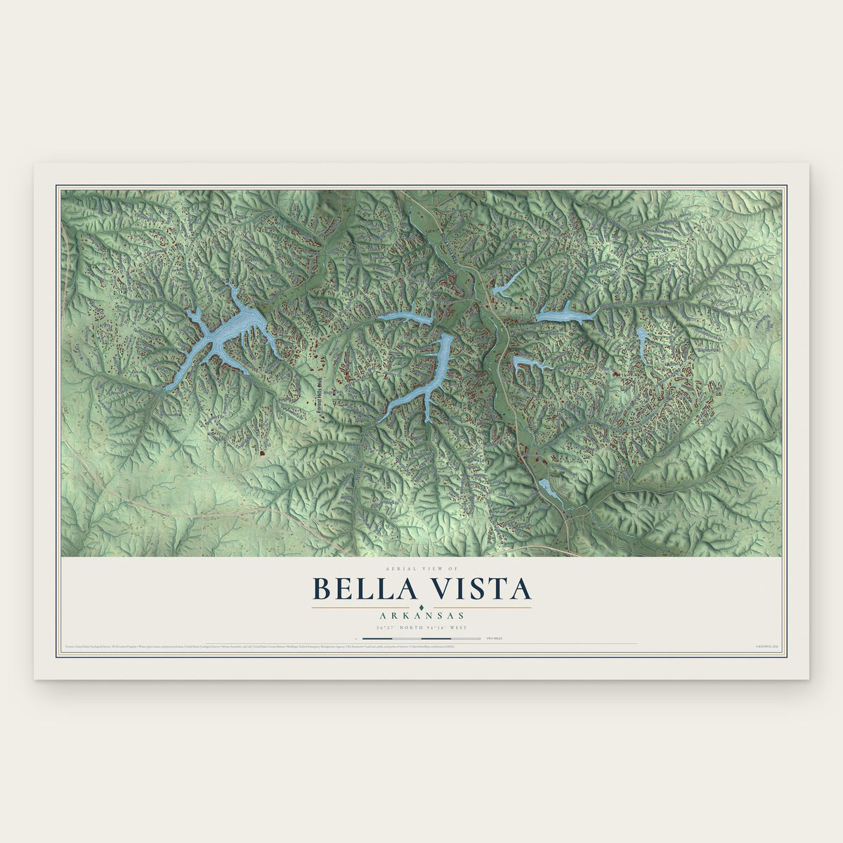
Bella Vista, Arkansas Map Art
A new map of Bella Vista, Arkansas, made in 2026 and printed to order on thick archival matte paper.
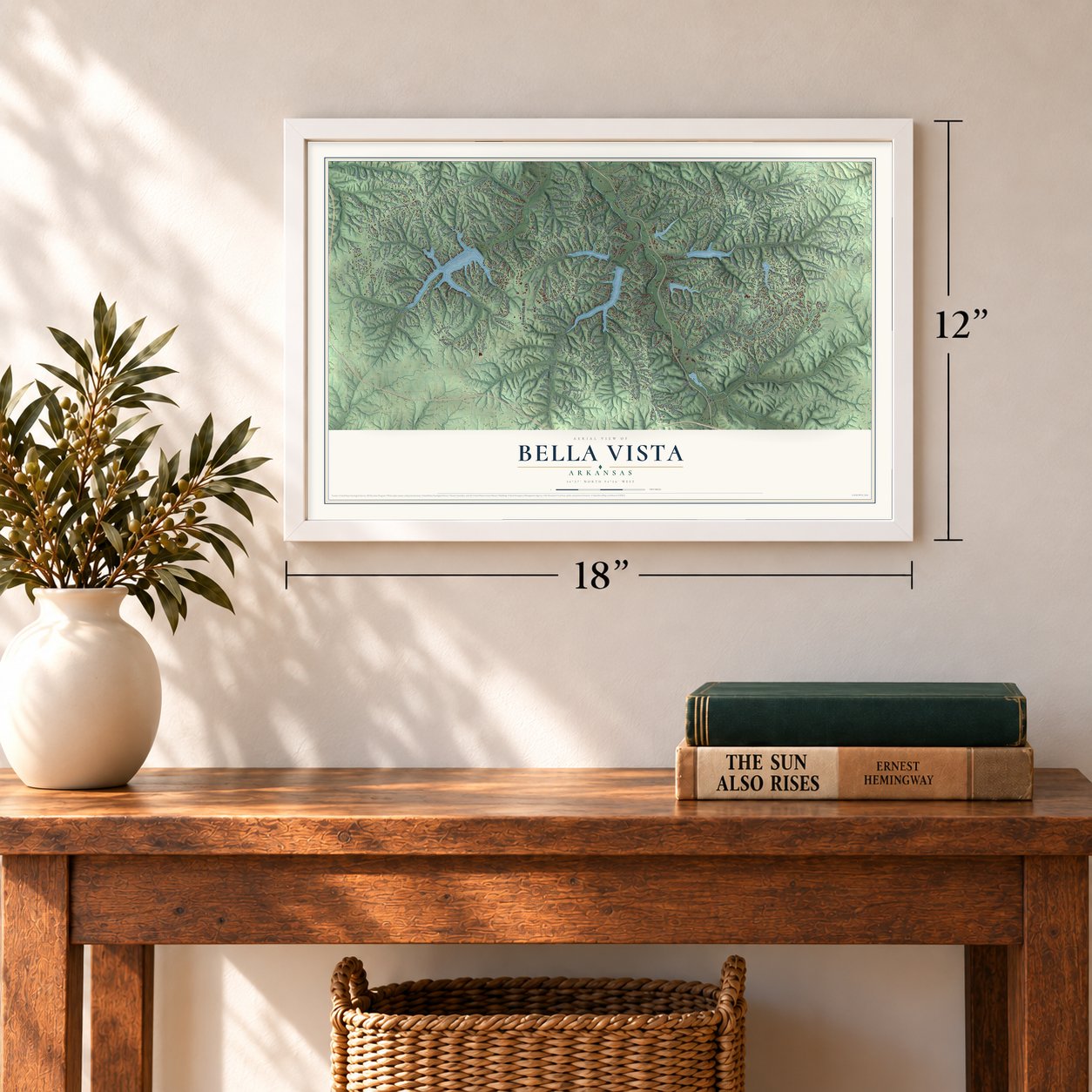
12" x 18" Archival Matte Print
A Map of Home. A Work of Art.
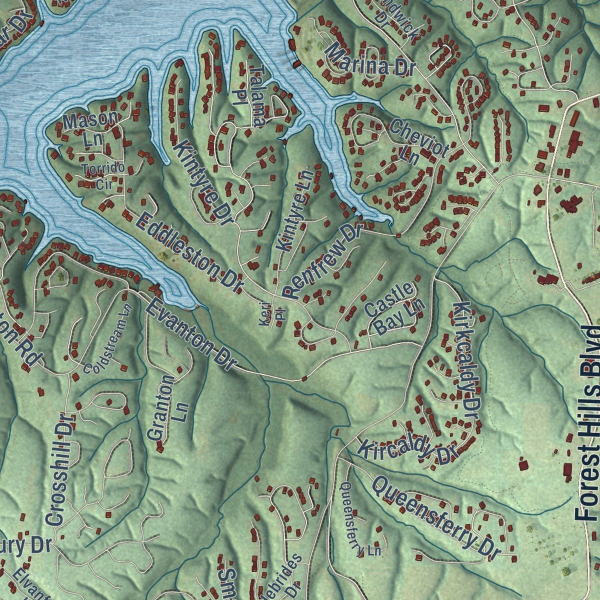
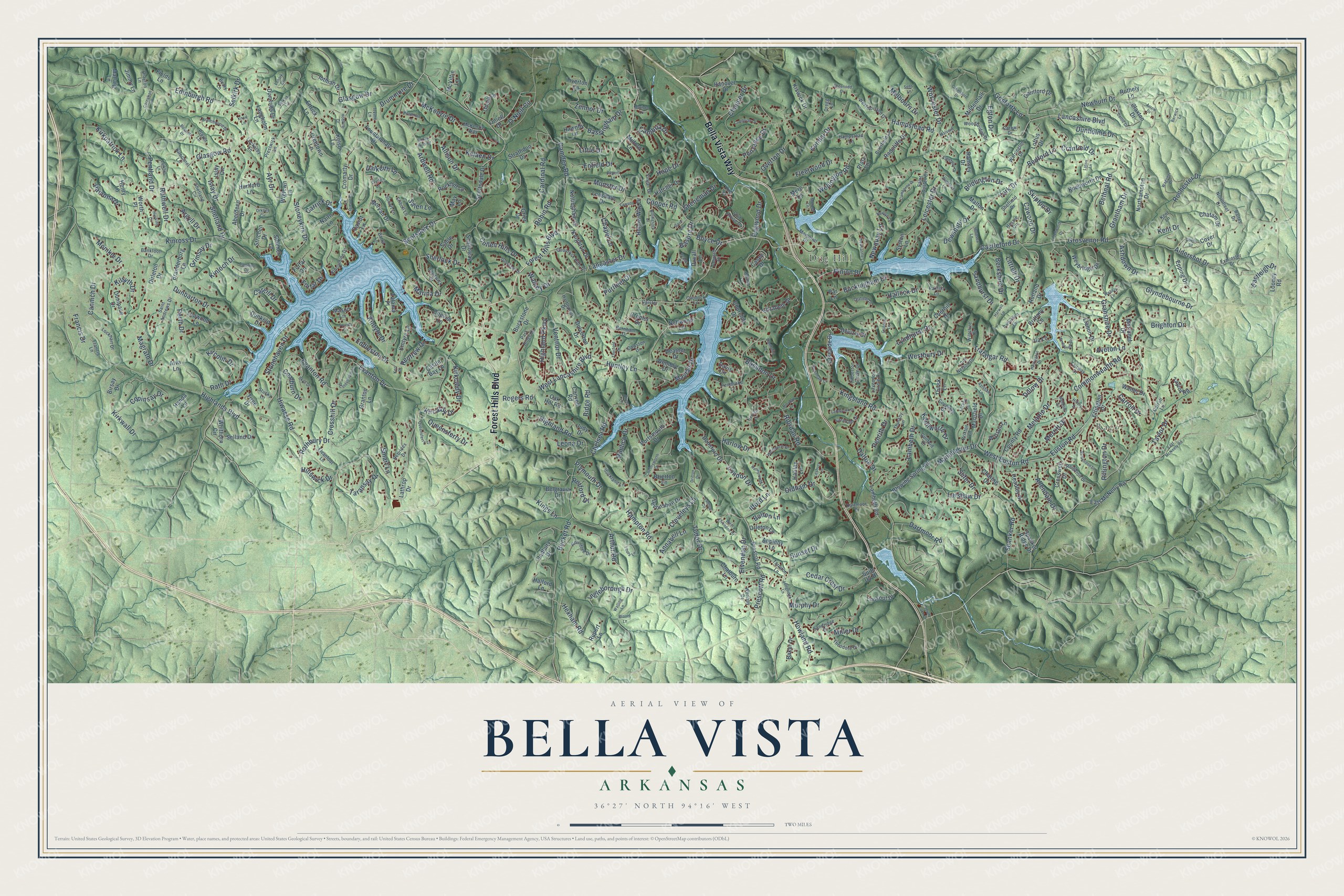
Explore Bella Vista, Arkansas from a whole new perspective. Created using aerial imagery and detailed geographic data, this map captures Bella Vista building by building, with labeled streets, familiar landmarks, and shaded topographical relief that highlights the natural contours of the landscape.
Combining modern data with the timeless character of a vintage atlas, this map is just as interesting up close as it is beautiful on the wall. Whether you grew up in Bella Vista, spent memorable years there, or call it home today, this unique map is a great way to celebrate a place that means something to you. Zoom in on the preview to look for your street, and then order a print to put your memories on the wall.
Three ways to hang it
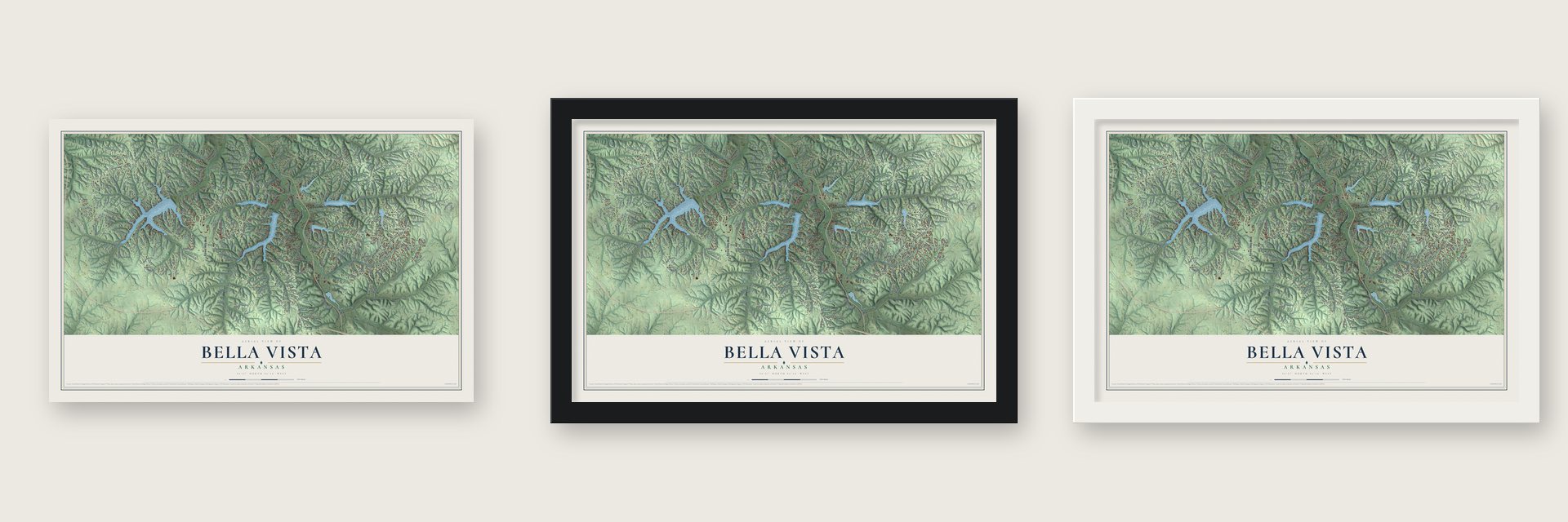
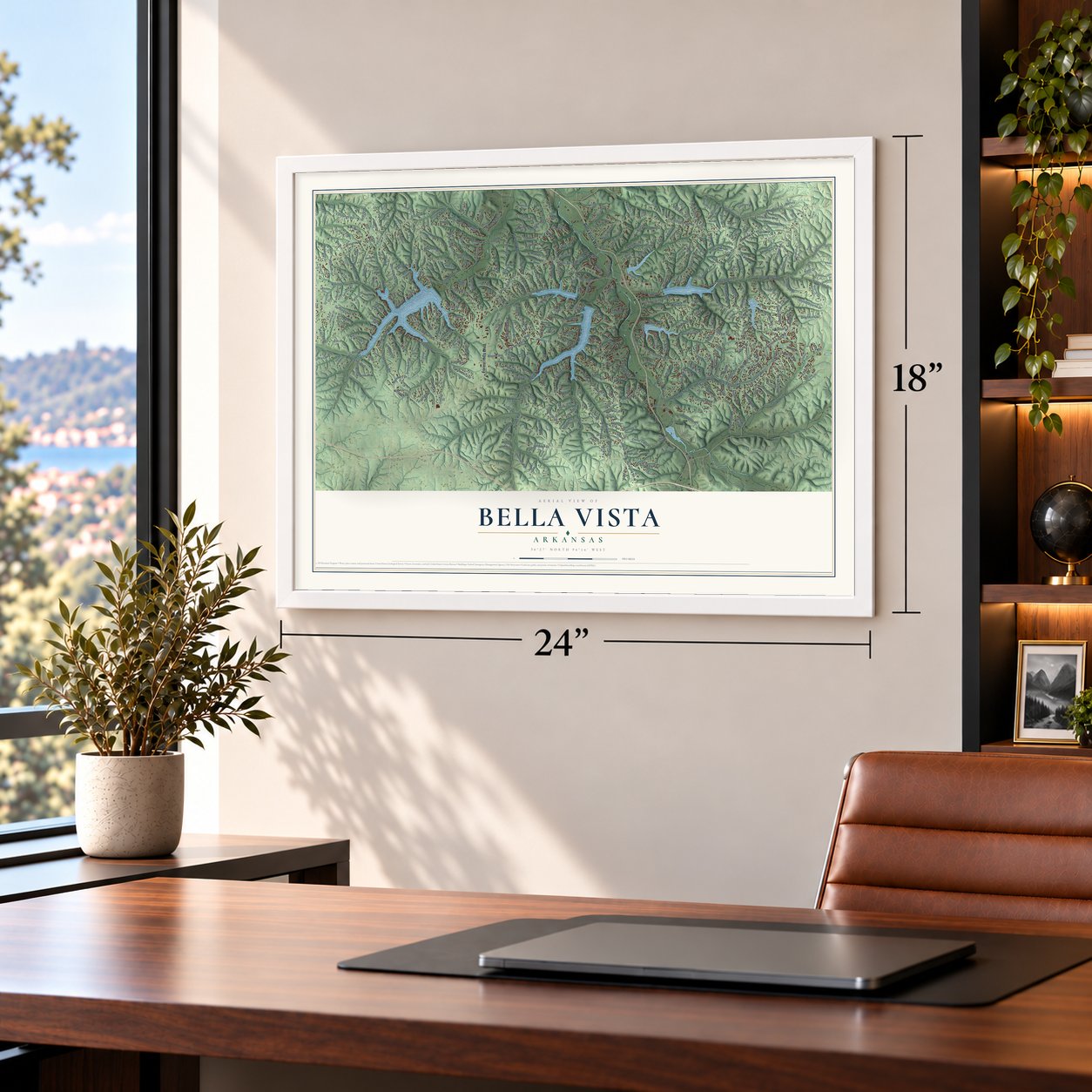
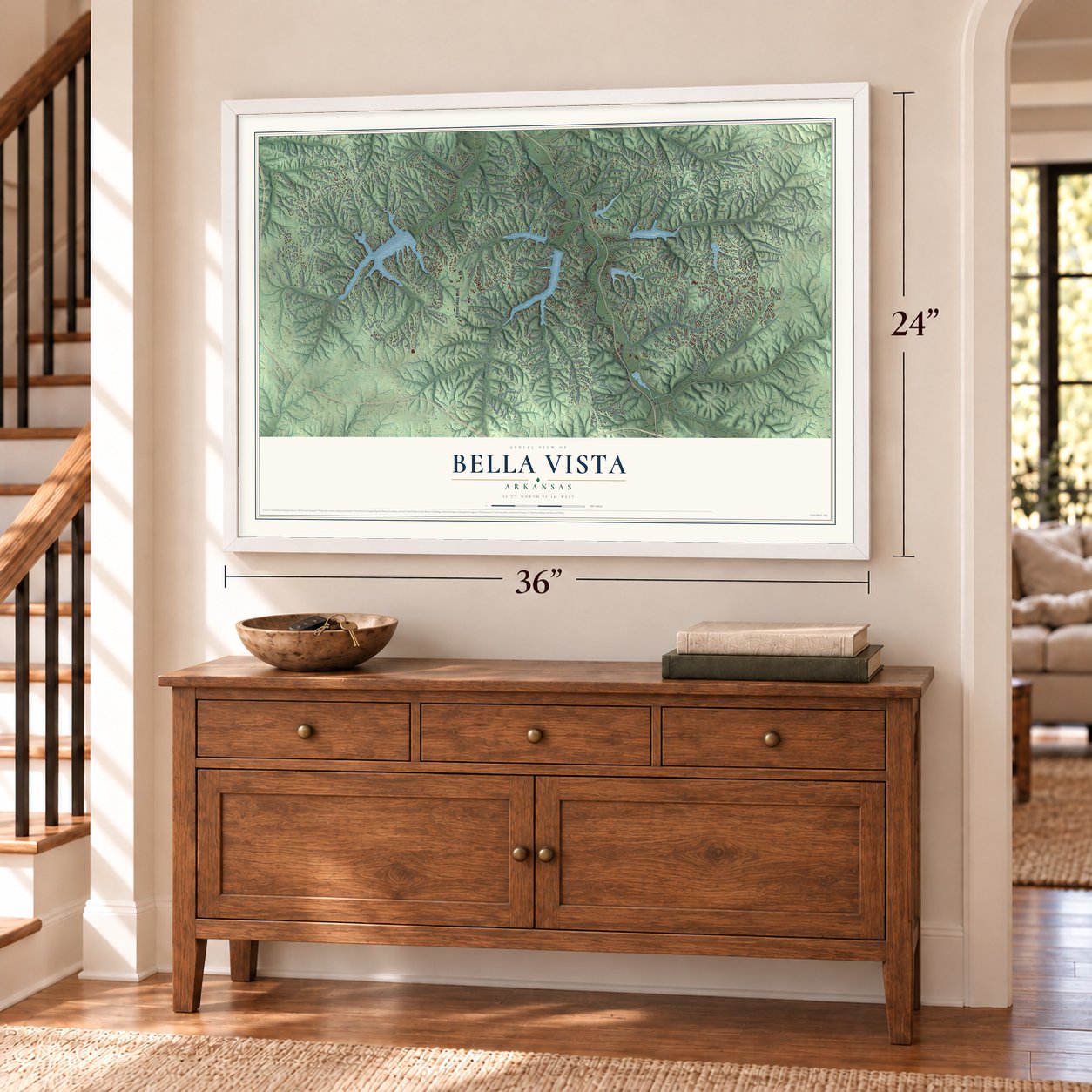
Unframed archival matte, a black wood frame or a white wood frame.
Up close
Geography Worth Displaying
This map was created using accurate cartographic data and authoritative geographic sources, including the U.S. Geological Survey and the Census Bureau. The map brings together terrain, waterways, roads, and building detail. The majority of the streets are labeled, houses are accurately depicted, and the topography is derived from government sources. Combining local data with carefully composed color and shading leads to this beautifully detailed Bella Vista artwork for your wall.
Rather than simply showing street outlines, we’ve included as many of the street names as we could reasonably fit on the map while keeping their names legible. Zoom in on the high resolution preview to see exactly what’s on the map. We truly set out to create a statement piece for anyone who loves Bella Vista. So whether it’s for you, or a gift for someone you love, we hope this map of Bella Vista brings back fond memories.
Read the story behind this map of Bella Vista, Arkansas from 2026.

About Bella Vista, Arkansas
From the CALS Encyclopedia of Arkansas: "The resort retained the Bella Vista name and opened from Memorial Day to Labor Day, renting rooms by the day or the week, selling lots, and building cottages."
Find your street
Names on the Bella Vista map
Every name below is printed on this map. Look for your street, your school, the park where you played, or the pond down the road.
Places and landmarks2
- Rago
- Dug Hill
Streets and roads460
- Bella Vista Way
- Forest Hills Boulevard
- Lancashire Boulevard
- Chelsea Road
- Highlands Boulevard
- Glasgow Road
- Trafalgar Road
- Kinross Drive
- Evanton Road
- Grosvenor Road
- Stoneykirk Drive
- Scotsdale Drive
- Euston Road
- Hampstead Road
- Kingsland Road
- Lambeth Drive
- Bethnal Road
- Selkirk Drive
- Ingleborough Drive
- Camden Road
- Manchester Drive
- Kirkwall Drive
- Commonwealth Road
- Edinburgh Road
- Cullen Hills Drive
- Bassingham Drive
- Ardwell Road
- Evanton Drive
- Rochester Drive
- Granshire Drive
Show all 460 streets
- Rillington Drive
- Murphy Drive
- Wellington Road
- Overton Drive
- Cooper Road
- West Euston Road
- Mayfair Drive
- Taylor Drive
- McKenzie Drive
- Perth Drive
- Dartmoor Road
- Westbury Drive
- Dogwood Drive
- Pimlico Drive
- Buckingham Drive
- Pentland Drive
- Ventnor Drive
- Elvendon Drive
- Carroll Drive
- London Drive
- Argyll Drive
- Rothbury Drive
- Chaucer Drive
- Riordan Road
- Hiwasse Road
- Taransay Drive
- Kinloch Drive
- Forfar Drive
- Newburn Drive
- Melanie Drive
- Pamona Drive
- Prescott Road
- Rath Drive
- Leicester Drive
- Kirkpatrick Lane
- Salen Lane
- Aldershot Drive
- Highland Road
- Stonehaven Drive
- Sherlock Drive
- Islay Drive
- Kirkcaldy Drive
- Lancaster Drive
- Becket Road
- Magrath Drive
- Cranfield Drive
- Sunset Drive
- Cargill Drive
- Oldham Drive
- Tudor Drive
- Gosforth Lane
- Merritt Drive
- Ayr Drive
- Castleford Drive
- York Drive
- Copinsay Drive
- Kircaldy Drive
- Ruthwell Drive
- Renfrew Drive
- Cedar Crest Drive
- Shetland Drive
- Kintyre Drive
- Howland Road
- Walney Drive
- Cardinal Road
- Eddleston Drive
- Glasgow Drive
- Arthur Road
- West Lancashire Boulevard
- Glyndebourne Drive
- Cannich Drive
- Pinion Drive
- Dalton Drive
- Spanker Road
- Berkshire Drive
- Kent Drive
- Retford Drive
- Basildon Drive
- Highland Parkway
- Eastleigh Drive
- Leona Drive
- Dewsbury Drive
- Queensferry Drive
- Grantham Drive
- Cleveleys Lane
- Hope Drive
- O'Niell Circle
- Allendale Drive
- Newquay Lane
- Skipton Drive
- Latshaw Drive
- Munster Drive
- Ridge Road
- Hampton Road
- Fleetwood Drive
- Allison Drive
- Bedford Lane
- Carrick Drive
- Grimsay Drive
- Melbourn Drive
- Dunbarton Drive
- Crosshill Drive
- Cawood Drive
- Coalburn Drive
- Huntley Lane
- Littrell Drive
- Kendal Drive
- Penzance Drive
- Lyndhurst Drive
- Bridlington Drive
- Worcester Drive
- Plymouth Drive
- Cambria Drive
- Kenilworth Drive
- Sandhurst Drive
- Kircolm Drive
- Little Drive
- Zennor Drive
- Basore Drive
- Dunholme Drive
- Robin Road
- Harlow Drive
- Hexham Road
- Ashdown Drive
- Sheneman Drive
- Miller Drive
- Rogers Road
- Hillswick Drive
- Dalkeith Lane
- Enfield Drive
- Francis Drive
- Drummore Drive
- Kelaen Drive
- Penrith Drive
- Purfleet Drive
- Kings Lane
- Marina Drive
- Egton Drive
- Hallock Drive
- Annabell Lane
- Monikie Drive
- Slifer Drive
- Chapel Lane
- Boyce Drive
- Brighton Drive
- Smart Lane
- Dillow Drive
- Kilsyth Drive
- Bolton Lane
- Aveton Lane
- Ilford Lane
- Scottsdale Drive
- Lambeth Road
- Lookout Drive
- County Road
- Churchill Drive
- East McNelly Road
- Blowing Spring Road
- Devonshire Drive
- Prescot Road
- Northampton Drive
- Cromarty Drive
- Llanon Drive
- Portsmouth Drive
- Gainford Drive
- Suits US Drive
- Belgravia Drive
- Elizabeth Drive
- Cover Drive
- Aberdeen Drive
- Spanker Ridge Drive
- Dirleton Drive
- Fountainhall Drive
- Looney Road
- Dunkeld Drive
- Walter Drive
- Mansfield Drive
- Ettington Drive
- Weybridge Drive
- Dunipace Drive
- Taylor Road
- Devizis Drive
- Padbury Drive
- Buckstone Drive
- Headley Drive
- Claxton Drive
- Judy Drive
- Henry Lane
- Oniell Lane
- Cresswell Drive
- Iothian Drive
- May Lane
- Strichen Drive
- Dunsford Drive
- Halford Lane
- Sable Drive
- Cheviot Lane
- Morvan Drive
- Hanover Drive
- Tiree Drive
- Knighton Drive
- Grier Drive
- Scalloway Drive
- Oniell Drive
- Mildenhall Drive
- Radcliffe Drive
- Dulverton Drive
- Knebworth Drive
- Nottingham Drive
- Baker Drive
- Marionet Drive
- Kintyre Lane
- Appleby Lane
- Whithorn Circle
- Birsay Drive
- Loftus Drive
- Hatcher Drive
- Hollow Way Drive
- Oak Hill Road
- Creetown Lane
- Fields Lane
- Branderburg Lane
- Heather Drive
- Hurlford Lane
- Forfar Circle
- Dumfries Drive
- Selland Drive
- Neffwood Lane
- Wigtown Lane
- Lakeside Drive
- Strichen Lane
- Davis Circle
- Watson Lane
- Rockhill Lane
- Leawood Lane
- Strathdon Drive
- Duvall Lane
- Orleton Lane
- Chatburn Lane
- Kiswick Drive
- Castle Bay Lane
- Lonsdale Drive
- Lathrop Drive
- Charing Drive
- Canyon Road
- Islay Circle
- Epping Drive
- Langholm Lane
- Chatam Drive
- Ramsey Drive
- Rupert Lane
- Rutland Drive
- Tiverton Lane
- Handa Lane
- Worth Place
- Mallaig Lane
- Jimmy Lane
- Wembly Drive
- Cromer Drive
- Rothely Lane
- Brierton Lane
- Granton Lane
- Brittany Lane
- Platz Lane
- Ettrick Lane
- Malton Drive
- Daviot Lane
- Hawnby Lane
- Milford Lane
- McVittie Lane
- Thirsk Lane
- Cherhill Drive
- Nairn Lane
- Mere Lane
- Talama Place
- Halifax Lane
- Mason Lane
- Syston Lane
- Casey Drive
- Kelso Lane
- Ila Lane
- Alva Lane
- Par Lane
- Kincardine Drive
- Rountree Drive
- Exminster Drive
- Eriboll Lane
- Lavendon Circle Drive
- Reighton Drive
- Northfleet Drive
- Westmorland Drive
- Quantock Hills Drive
- Tarleton Lane
- Saint Austell Drive
- Club House Drive
- Sandridge Drive
- Tibberton Circle Drive
- Theodore Drive
- Hebrides Drive
- Lockhart Drive
- Sandwick Drive
- Farnham Drive
- Kent Lane
- Brierfield Lane
- Saint Andrews Drive
- Hartlepool Drive
- Buckland Lane
- Tanyard Drive
- Woodbridge Drive
- Worlaby Drive
- Elvanfoot Lane
- Lord Nelson Drive
- Dartmoor Drive
- Fairway Drive
- Hessle Circle
- Shetland Circle
- Cannock Lane
- Hampstead Lane
- Guilford Drive
- Pembroke Lane
- Cawston Drive
- Park Ridge Drive
- Memorial Drive
- Wiltshire Drive
- Sheffield Drive
- Kirconnel Lane
- Warrington Drive
- Stucky Lane
- Finger Drive
- Carew Drive
- Sunart Lane
- Prestwick Lane
- Burnham Drive
- Baltes Drive
- Thursby Lane
- Coventry Drive
- McKenzie Way
- Beaty Lane
- Bankfoot Drive
- Lockerby Lane
- Brixton Lane
- Caister Lane
- Francis Lane
- Carroll Lane
- Adams Lane
- Drayton Lane
- Paxton Lane
- Dregg Lane
- Player Lane
- Irvine Lane
- Barra Lane
- East McNeely Road
- West Elvendon Drive
- Letchworth Drive
- Branchwood Drive
- Embleton Drive
- Chelmsworth Drive
- Sidlaw Hills Drive
- Dover Drive
- Wentworth Drive
- Wagoner Drive
- Billingsley Drive
- Leola Lane
- Tummell Drive
- Harrington Drive
- Hilltop Drive
- Skye Drive
- Drifton Drive
- Longridge Lane
- Celtic Drive
- Boswell Drive
- Huskins Circle
- Queensferry Lane
- Rettendon Lane
- Melanie Circle
- Gore Lane
- Dunvegan Drive
- Runnymede Lane
- Camborne Drive
- Newcastle Lane
- Lambourn Drive
- Blenheim Lane
- Greenodd Drive
- Selkirk Circle
- Hobkirk Drive
- Cumbrian Drive
- Coldstream Lane
- Orkney Circle
- Watling Lane
- Newnham Lane
- South Lake Drive
- Leafield Lane
- Glemsford Drive
- Salisbury Drive
- Damerham Lane
- Thetford Drive
- Lesbury Lane
- Hopeman Lane
- Lanark Circle
- Pease Drive
- Cromarty Lane
- Winsford Lane
- Newlyn Lane
- Aylsham Lane
- Carnahan Lane
- Larkhill Lane
- Laceby Lane
- Malvern Lane
- Lawson Lane
- Morpet Lane
- Ludlow Circle
- Arrow Drive
- Berwick Lane
- Webbly Lane
- Riordan Lane
- Hornsea Lane
- Harwell Lane
- Torrido Circle
- Gribbin Lane
- Marisco Lane
- Regent Lane
- Cora Circle
- Teresa Drive
- Bronte Lane
- Clyde Lane
- Luton Lane
- Knox Lane
- Keri Place
- Clive Lane
- Sens Lane
Names are listed as they appear on the printed map. Zoom into the product photos to find them.
The art of mapping a place
How This Map Was Made
Real places. Remarkable detail. Discover the layers that turn geographic data into a map of home.

The view from above
Aerial imagery reveals the character of the land: woodland, open fields, and the patterns of a place.

The shape of the land
Elevation data brings hills, valleys, and subtle changes in the landscape into view.

The details of home
Roads, waterways, and building footprints come together to make the map feel unmistakably local.

Geography becomes art
Considered color, shading, and typography bring the layers together in a map made for your wall.


Process illustrated with Mendon, Massachusetts. Aerial imagery: USDA NAIP. Terrain: USGS 3D Elevation Program. Map details and finished artwork: KNOWOL.
The Details
About This Print
Choose an archival matte print, or a black or white Ayous wood frame. The archival matte print is unframed.
Select your size and finish above to see the matching product image and price.
Materials & Craftsmanship
A contemporary map with the character of a classic atlas, printed on archival matte paper. Optional frames are made from Ayous wood.
Your printed map does not include the watermark shown in the full-map preview.
Shipping & Delivery
Free shipping within the United States. Every print is made to order in the USA.
Buying a gift? Add a note in your cart and we'll include it. We never put prices in the package.
Prints ship within 2 to 3 business days. Allow 7 to 10 days total from ordering for delivery. Timing may vary during holidays or periods of high order volume.
Read our shipping policy.
Returns and damaged prints
Each print is made to order. Change-of-mind refunds are not available after production.
If your print arrives damaged, misprinted or incorrect, contact support@knowol.com within 30 days of receiving it. Include your order number, photos and a description of the issue.
Read our full refund and replacement policy. For questions about your order, email support@knowol.com.
Find your town
Looking for another city?
Find a map of home in our Arkansas collection, or any town in the country.
Nearby
Maps of towns near Bella Vista
Know someone from one of these towns? Their map makes a great gift.
 Gravette
, Arkansas
From $39.99See the map
 Centerton
, Arkansas
From $39.99See the map
 Bentonville
, Arkansas
From $39.99See the map
More maps nearby: Pea Ridge, Little Flock, Sulphur Springs, Rogers and Avoca.