
Search for another town




Free U.S. delivery 7 to 10 days after you order
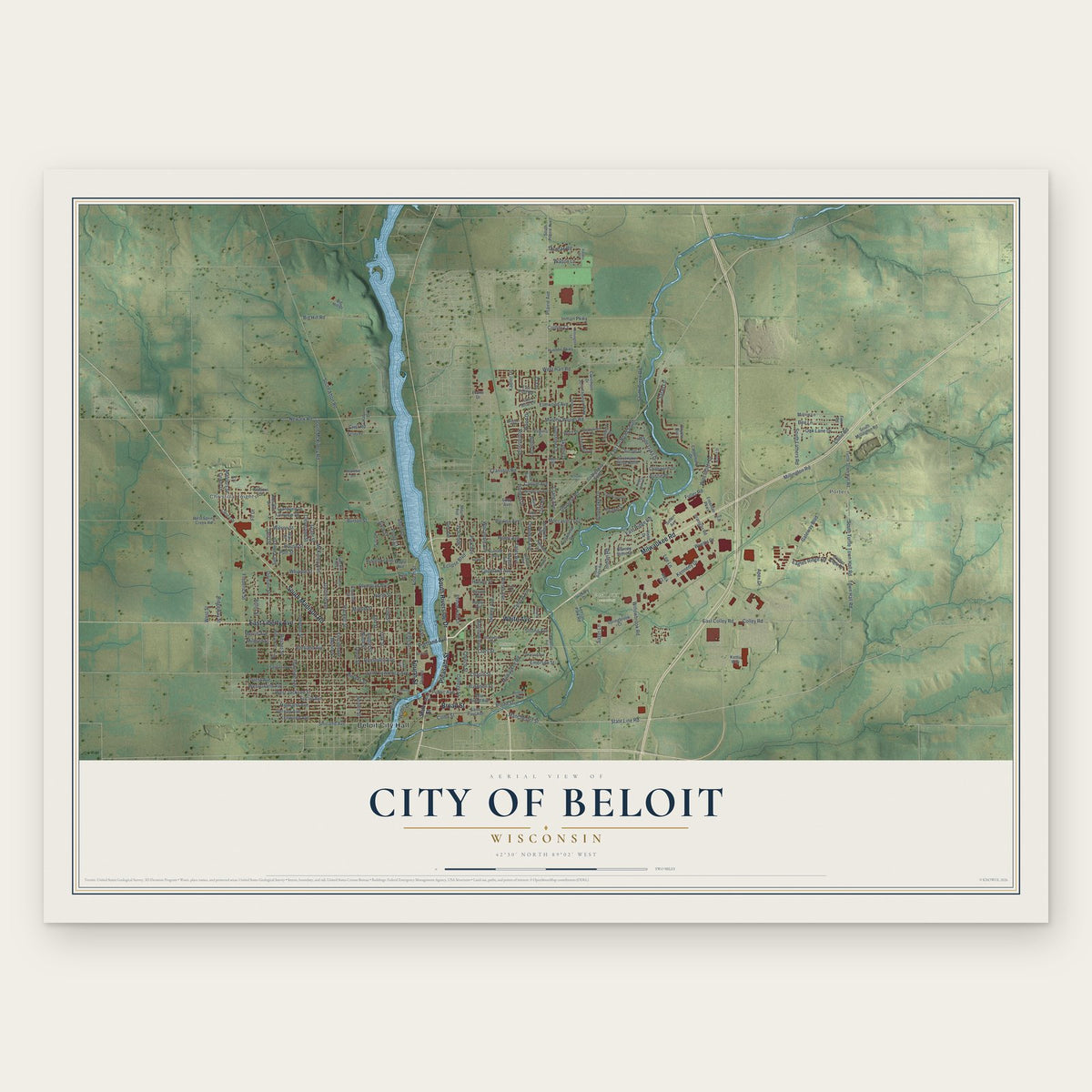
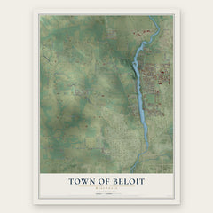
City of Beloit, Wisconsin Map Art
Building by building, with labeled streets and shaded relief.
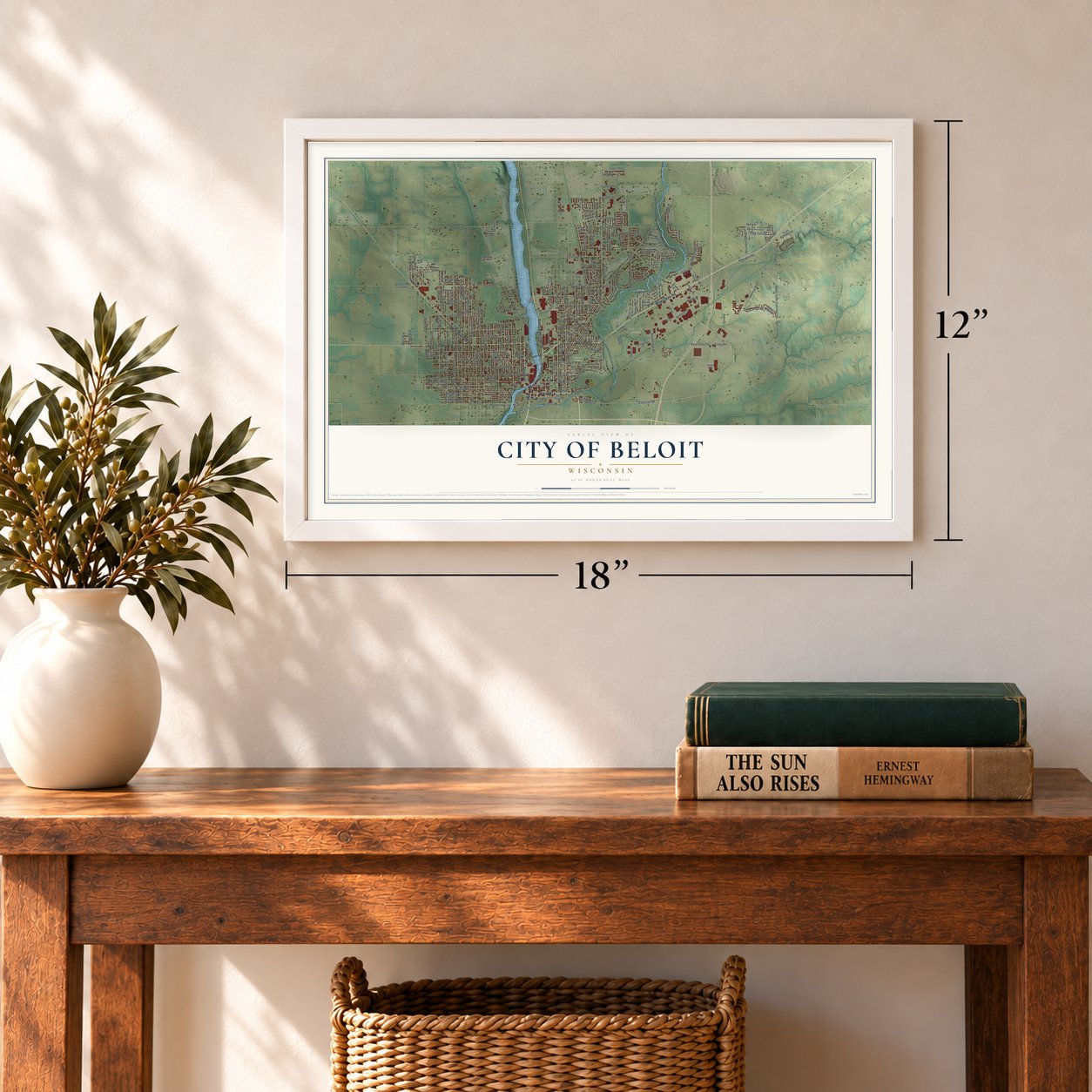
12" x 18" Archival Matte Print
A Map of Home. A Work of Art.
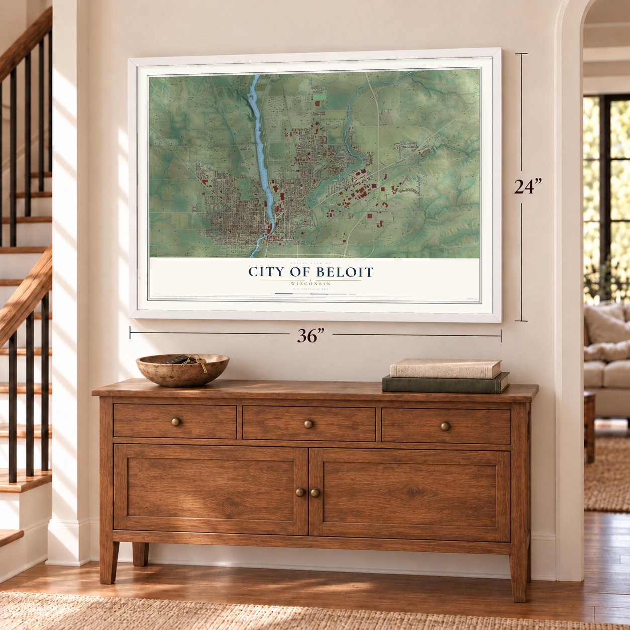
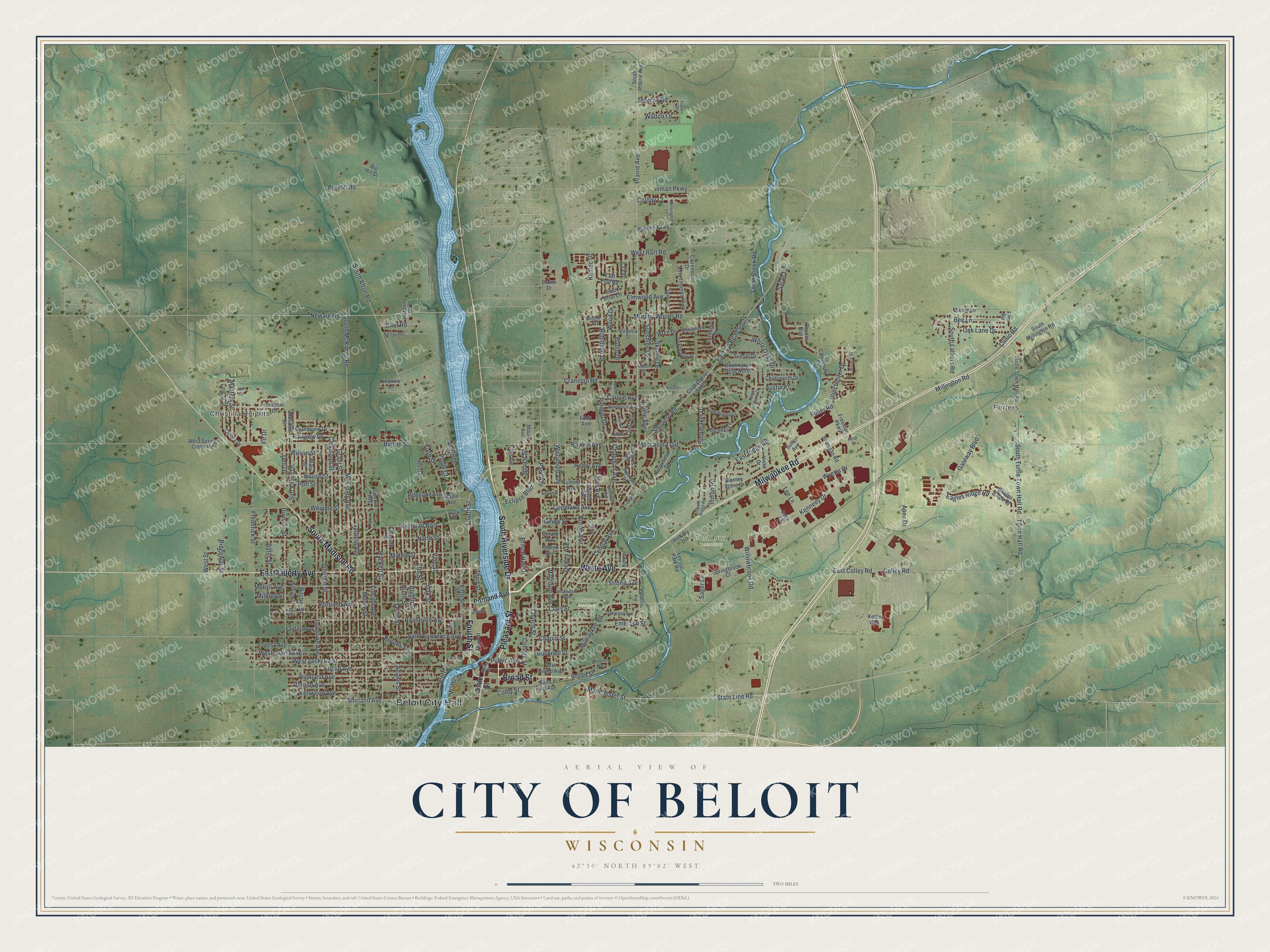
Explore Beloit, Wisconsin from a whole new perspective. Created using aerial imagery and detailed geographic data, this map captures Beloit building by building, with labeled streets, familiar landmarks, and shaded topographical relief that highlights the natural contours of the landscape.
Combining modern data with the timeless character of a vintage atlas, this map is just as interesting up close as it is beautiful on the wall. Whether you grew up in Beloit, spent memorable years there, or call it home today, this unique map is a great way to celebrate a place that means something to you. Zoom in on the preview to look for your street, and then order a print to put your memories on the wall.
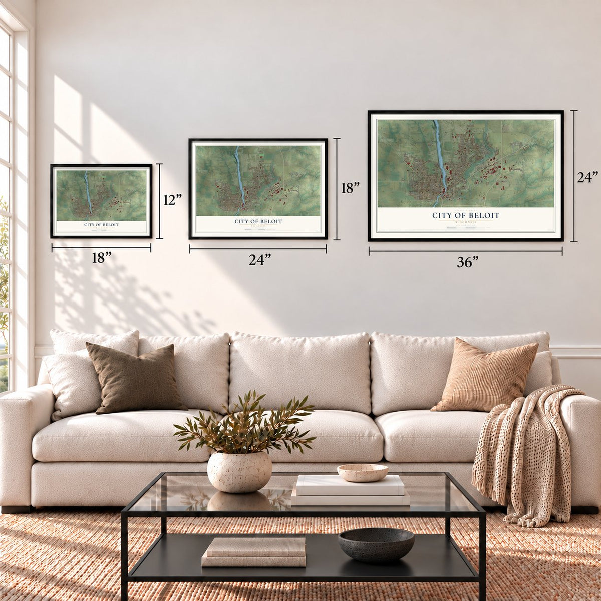
Three ways to hang it
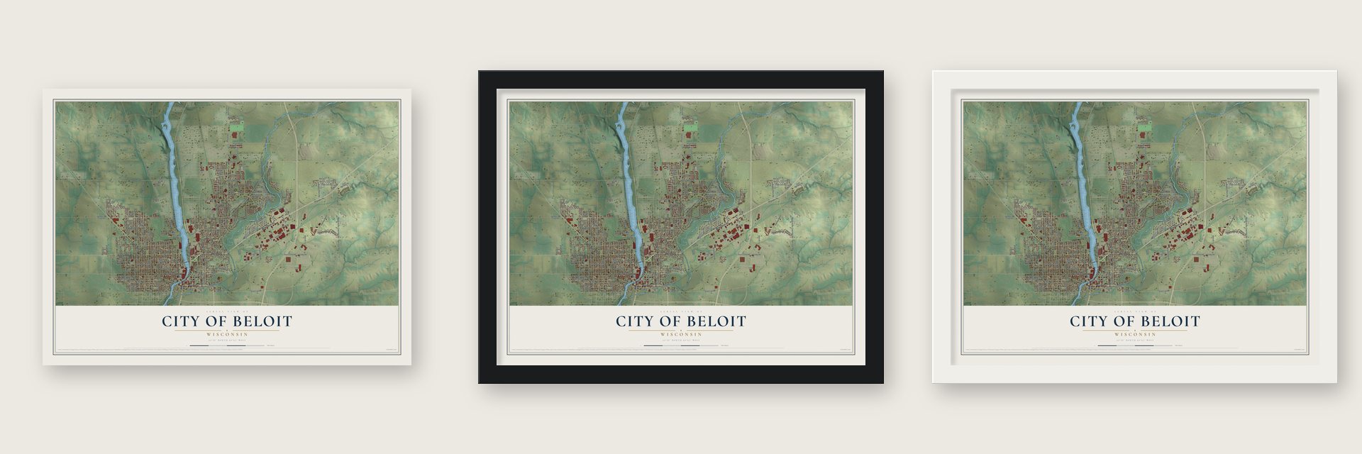
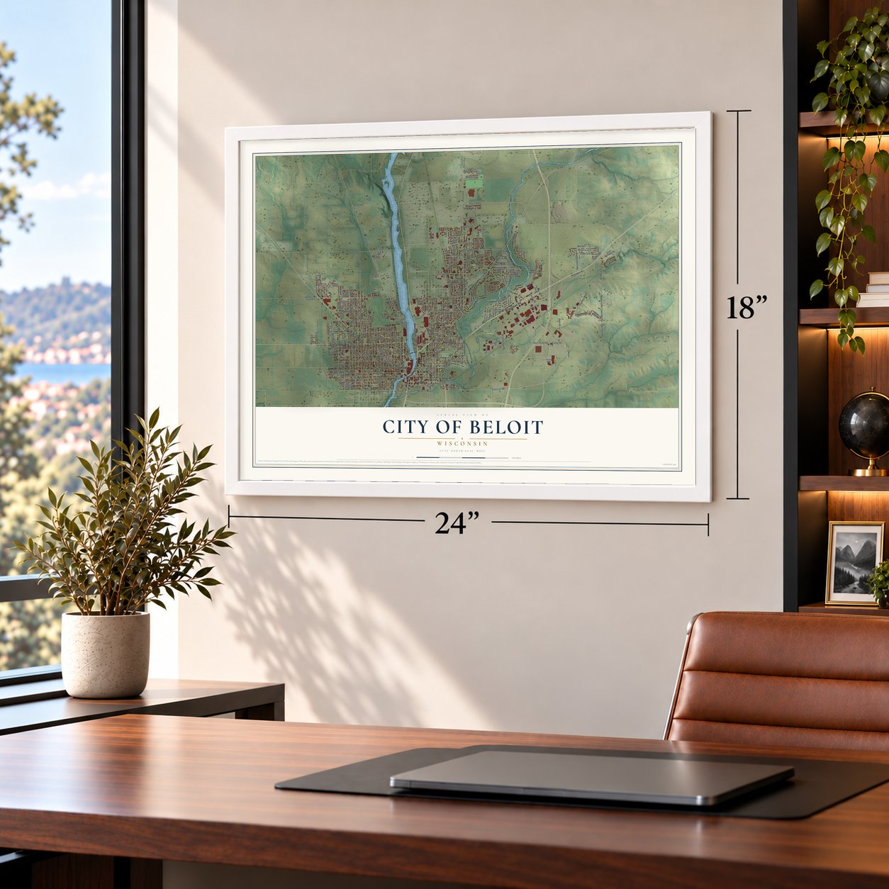
Unframed archival matte, a black wood frame or a white wood frame.
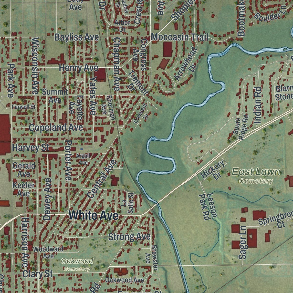
Up close
Geography Worth Displaying
This map was created using accurate cartographic data and authoritative geographic sources, including the U.S. Geological Survey and the Census Bureau. The map brings together terrain, waterways, roads, and building detail. The majority of the streets are labeled, houses are accurately depicted, and the topography is derived from government sources. Combining local data with carefully composed color and shading leads to this beautifully detailed Beloit artwork for your wall.
Rather than simply showing street outlines, we’ve included as many of the street names as we could reasonably fit on the map while keeping their names legible. Zoom in on the high resolution preview to see exactly what’s on the map. We truly set out to create a statement piece for anyone who loves Beloit. So whether it’s for you, or a gift for someone you love, we hope this map of Beloit brings back fond memories.
Read the story behind this map of the City of Beloit, Wisconsin from 2026.

Find your street
Names on the Beloit map
Every name below is printed on this map. Look for your street, your school, the park where you played, or the pond down the road.
Places and landmarks6
- Beloit City Hall
- Christilla Heights
- Porters
- East Lawn Cemetery
- Oakwood Cemetery
- Telfer Park
Streets and roads240
- White Avenue
- Pleasant Street
- Fourth Street
- Broad Street
- Milwaukee Road
- South Riverside Drive
- East Liberty Avenue
- South Madison Road
- Henry Avenue
- Manchester Street
- State Line Road
- Shopiere Road
- East County Road South
- Gateway Boulevard
- East Ridge Road
- Willowbrook Road
- South Turtle Town Hall Road
- Town Hall Road
- Kadlec Drive
- Shirland Avenue
- Clinic Road
- West Hart Road
- Wyetta Drive
- Prairie Avenue
- Cranston Road
- McKinley Avenue
- East Colley Road
- Park Avenue
- Colley Road
- Townline Avenue
Show all 240 streets
- Cleveland Street
- Moore Street
- West Grand Avenue
- Ritsher Street
- Wisconsin Avenue
- Hackett Street
- Merrill Avenue
- Saint Lawrence Avenue
- Portland Avenue
- Roosevelt Avenue
- Frederick Street
- Newark Road
- Garfield Avenue
- Burton Street
- Euclid Avenue
- North Street
- Bluff Street
- Grant Street
- Eighth Street
- South Afton Road
- Harrison Avenue
- Johnson Street
- Fifth Street
- Central Avenue
- Sixth Street
- Division Street
- Highland Avenue
- Bittel Street
- Vernon Avenue
- Kenwood Avenue
- Bayliss Avenue
- Forest Avenue
- West Jackson Street
- Porter Avenue
- Oak Street
- Dewey Avenue
- Emerson Street
- Whipple Street
- Middle Street
- Kennedy Drive
- Vine Street
- Elm Street
- Ninth Street
- Church Street
- Murphy Woods Road
- Robinson Drive
- Pioneer Drive
- Tenth Street
- Elmwood Avenue
- South McKinley Road
- Yates Avenue
- Olympian Boulevard
- Lincoln Avenue
- Sun Valley Drive
- Masters Street
- House Street
- Sunshine Lane
- Bootmaker Drive
- Clary Street
- Austin Place
- Lee Lane
- Copeland Avenue
- Bushnell Street
- Bee Lane
- Chapin Street
- Skyline Drive
- Strong Avenue
- Shore Drive
- Iva Court
- Moccasin Trail
- Wood Drive
- South Lathers Road
- Ridgeway Street
- Chapman Avenue
- Eagles Ridge Road
- Fuller Road
- South Creek Road
- Winchester Drive
- Harvey Street
- Millington Road
- White Oaks Drive
- Butlin Drive
- Sarah Lane
- Oak Lane Drive
- Prince Hall Drive
- Colony Court
- Inman Parkway
- College Street
- Fairview Drive
- Eclipse Boulevard
- Poole Court
- Third Street
- Thomas Road
- Walton Lane
- Colby Street
- Indian Road
- Crane Avenue
- Spruce Street
- Water Street
- Poff Street
- Carlyle Avenue
- Brooks Street
- Crist Road
- Adams Street
- Public Avenue
- Big Hill Road
- Dell Drive
- Wilson Street
- Mildred Street
- Sager Lane
- Fir Drive
- Apex Drive
- West Street
- State Street
- South Prairie Avenue
- County Highway South
- East Grand Avenue
- Tremont Drive
- Turtle Town Hall Road
- Bootmaker Drive North
- Turnberry Drive
- Golden Eagle Drive
- Finn Road
- Summit Avenue
- Eleventh Street
- Keeler Avenue
- Arrowhead Drive
- Saint Paul Avenue
- Fayette Avenue
- Chatsworth Drive
- Cleora Drive
- Blarney Stone Drive
- Jerry Thomas Parkway
- East Post Road
- Staborn Drive
- Virginia Street
- Minnie Lane
- Springbrook Court
- Linway Drive
- Grandview Drive
- Sunset Drive
- West Spring Creek Road
- Freeman Parkway
- Mary Street
- Branigan Road
- South Millington Road
- Congress Avenue
- Ridgeland Avenue
- Boulder Lane
- Huebbe Parkway
- William Street
- Fairfax Avenue
- Canterbury Drive
- Hickory Drive
- Claremont Drive
- Big Hill Drive
- Haborn Drive
- Sutler Avenue
- Vista Drive
- Meridith Drive
- Maple Avenue
- East Briar Lane
- Mound Avenue
- Crest Road
- Leeson Park Road
- Jeannie Lane
- Glen Avenue
- Eddy Avenue
- Hurst Street
- Coyote Run
- Wren Drive
- Elaine Drive
- Lincoln Heights
- Kettle Way
- Gerald Avenue
- Rock Court
- Parkmeadow Drive
- Woodward Avenue
- Cobblestone Lane
- Athletic Avenue
- Brewster Avenue
- Henderson Avenue
- Tumbleweed Lane
- La Salle Street
- Oakwood Avenue
- Kensington Lane
- Shady Lane
- Sherman Avenue
- Mason Road
- Kelsey Road
- South Ridge Road
- Walnut Street
- Arbor Drive
- Windsor Court
- Lovell Avenue
- Regal Oaks Court
- Ford Street
- Trush Court
- Ute Court
- Lenox Avenue
- Crescent Drive
- Farwell Street
- Schuster Drive
- Parker Avenue
- Barrett Place
- Franklin Street
- Meadow Drive
- Argall Avenue
- Garden Lane
- Lincoln Court
Names are listed as they appear on the printed map. Zoom into the product photos to find them.
About the City of Beloit, Wisconsin
The City of Beloit is a city of 36,657 people in Rock County, on the Rock River where Wisconsin meets Illinois. In October 1836, twelve men in Colebrook, New Hampshire, formed the New England Emigrating Company and sent Horace White west to choose a place where their group could settle.
White found level fields, water power on Turtle Creek and plenty of gravel, so he bought the land. Six families from Bedford, New Hampshire, arrived at about the same time, and they said the Rock River Valley looked enough like New England to feel like home. The village was platted in 1838, with wide streets laid out on the New England pattern.
- New Albany, then BeloitCaleb Blodgett, the town's founder, named it New Albany in 1837, after Albany, Vermont. The next year, in 1838, the name changed to Beloit, a new word made up to sound like Detroit.
- Two railroadsThe Milwaukee Road and the Chicago & North Western both served Beloit, and the city also had an electric interurban line. When the Milwaukee Road went bankrupt in 1980, it gave up its Southwestern Line. The C&NW later passed to the Union Pacific, whose trains still use a remnant of old Milwaukee Road track to reach the Fairbanks-Morse engine plant.
- An explorer born in 1884Roy Chapman Andrews was born in Beloit on January 26, 1884. A historical marker in the city ranks him among the most celebrated explorers of the 20th century.
Keep exploring Wisconsin
City of Beloit is one of 2,032 Wisconsin towns we've mapped. Every dot on the map is a print of its own.
The search covers every state, Wisconsin first.
Near City of Beloit
Order 2 or more town maps and save 10%. Shown in the size and finish you picked above, so they hang as a set.
- Town of Beloit 12" x 18" / Archival Matte Print $39.99
- Turtle 12" x 18" / Archival Matte Print $39.99
- Shopiere 12" x 18" / Archival Matte Print $39.99


More maps nearby: Rock, Village of Clinton, La Prairie, Town of Clinton and Newark.
The art of mapping a place
How This Map Was Made
Real places. Remarkable detail. Discover the layers that turn geographic data into a map of home.

The view from above
Aerial imagery reveals the character of the land: woodland, open fields, and the patterns of a place.

The shape of the land
Elevation data brings hills, valleys, and subtle changes in the landscape into view.

The details of home
Roads, waterways, and building footprints come together to make the map feel unmistakably local.

Geography becomes art
Considered color, shading, and typography bring the layers together in a map made for your wall.


Process illustrated with Mendon, Massachusetts. Aerial imagery: USDA NAIP. Terrain: USGS 3D Elevation Program. Map details and finished artwork: KNOWOL.
The Details
About This Print
Choose an archival matte print, or a black or white Ayous wood frame. The archival matte print is unframed.
Select your size and finish above to see the matching product image and price.
Materials & Craftsmanship
A contemporary map with the character of a classic atlas, printed on archival matte paper. Optional frames are made from Ayous wood.
Your printed map does not include the watermark shown in the full-map preview.
Shipping & Delivery
Free shipping within the United States. Every print is made to order in the USA.
Buying a gift? Add a note in your cart and we'll include it. We never put prices in the package.
Prints ship within 2 to 3 business days. Allow 7 to 10 days total from ordering for delivery. Timing may vary during holidays or periods of high order volume.
Read our shipping policy.
Returns and damaged prints
Each print is made to order. Change-of-mind refunds are not available after production.
If your print arrives damaged, misprinted or incorrect, contact support@knowol.com within 30 days of receiving it. Include your order number, photos and a description of the issue.
Read our full refund and replacement policy. For questions about your order, email support@knowol.com.