
Search for another town


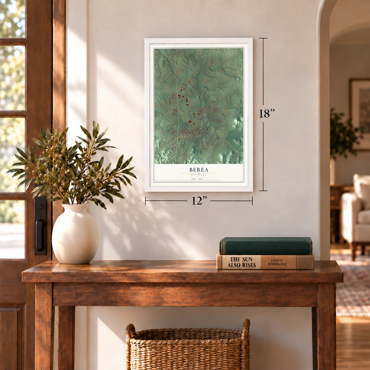

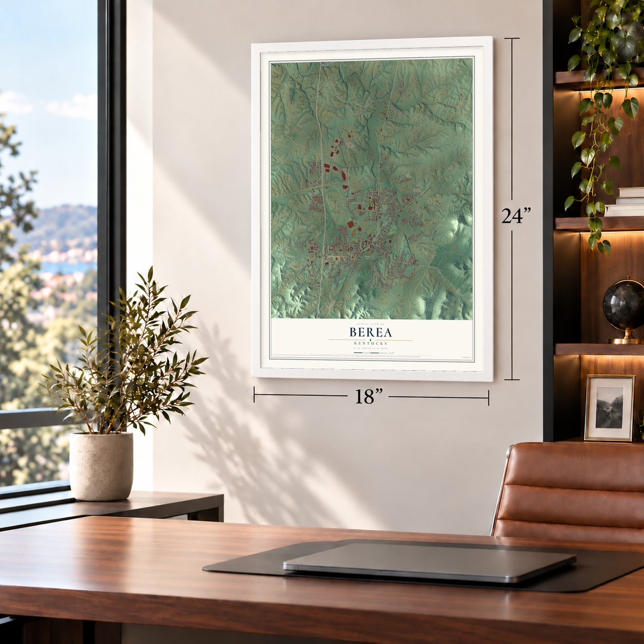
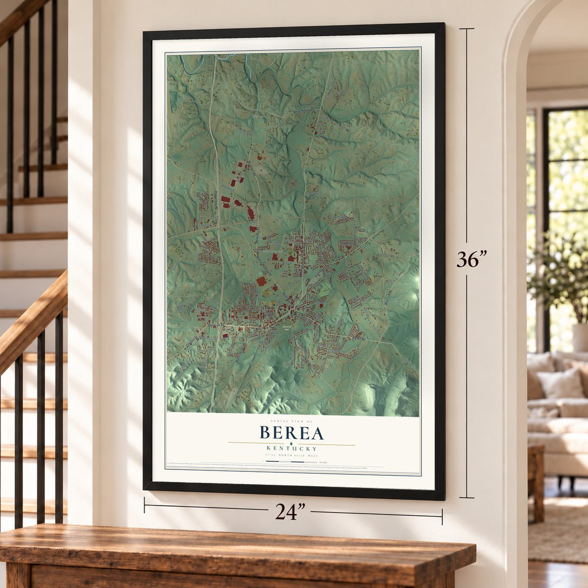
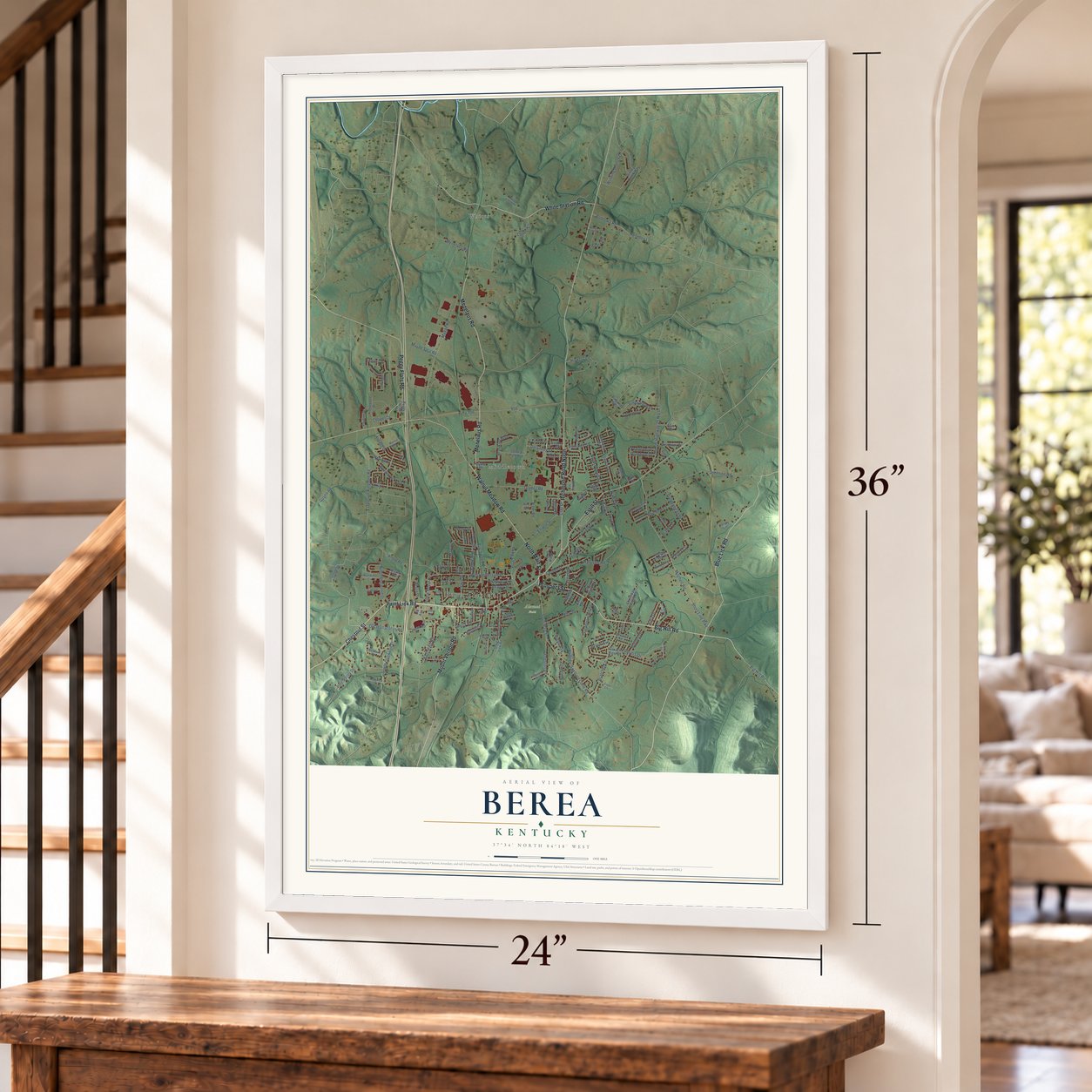
Free U.S. delivery 7 to 10 days after you order
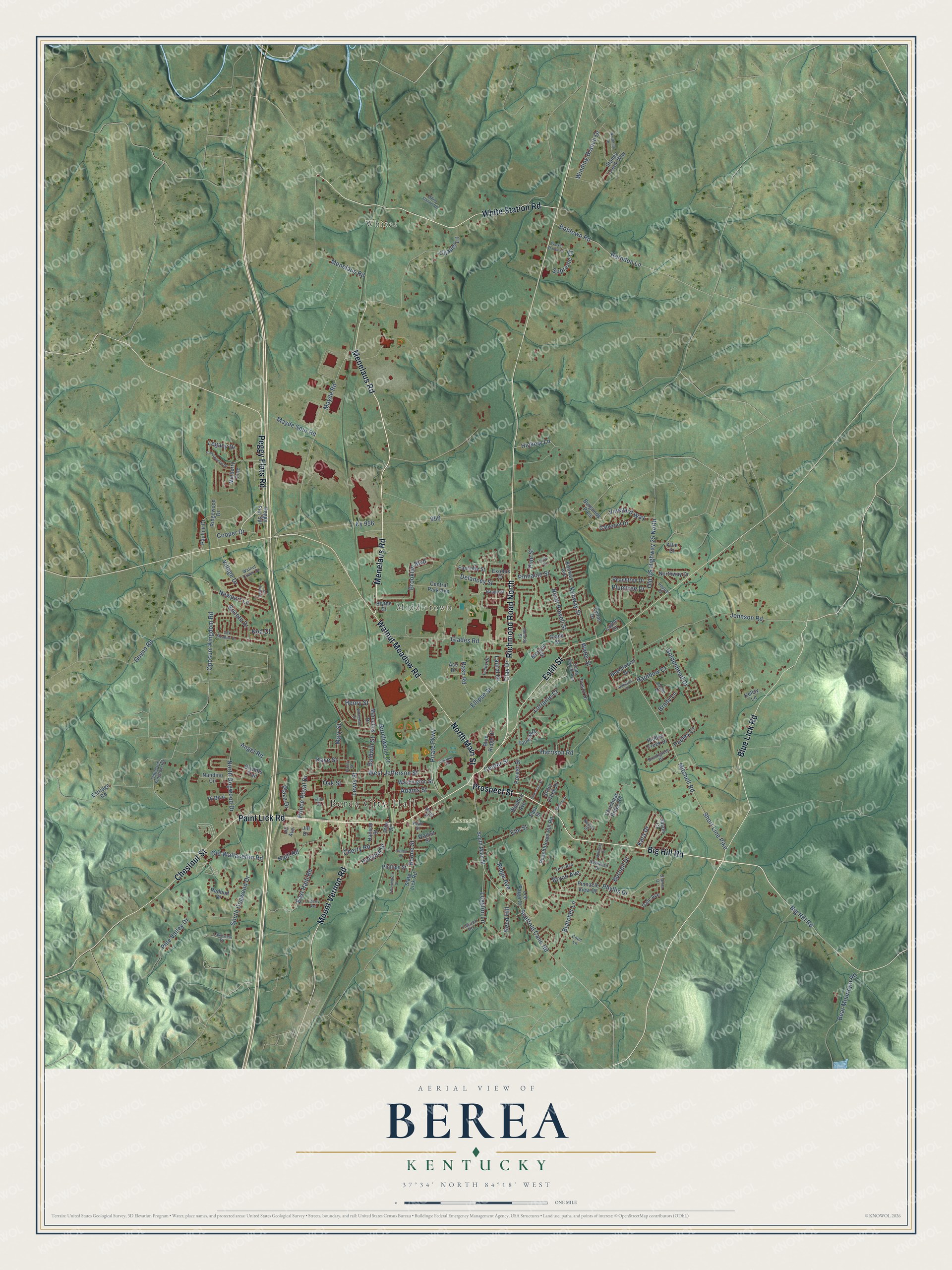
Berea, Kentucky Map Art
Building by building, with labeled streets and shaded relief.
12" x 18" Archival Matte Print
A Map of Home. A Work of Art.
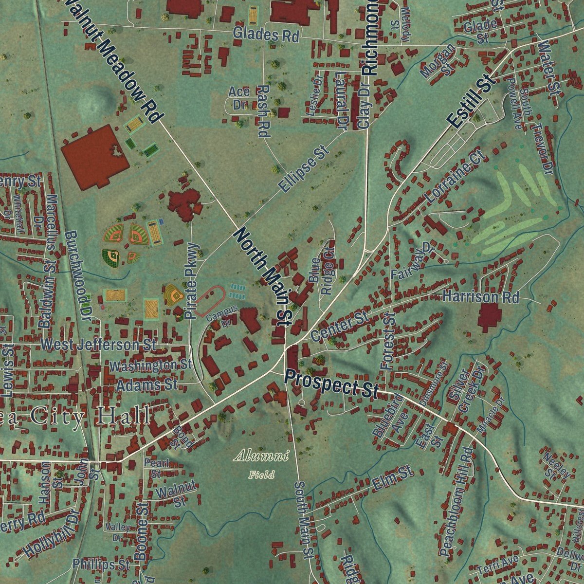
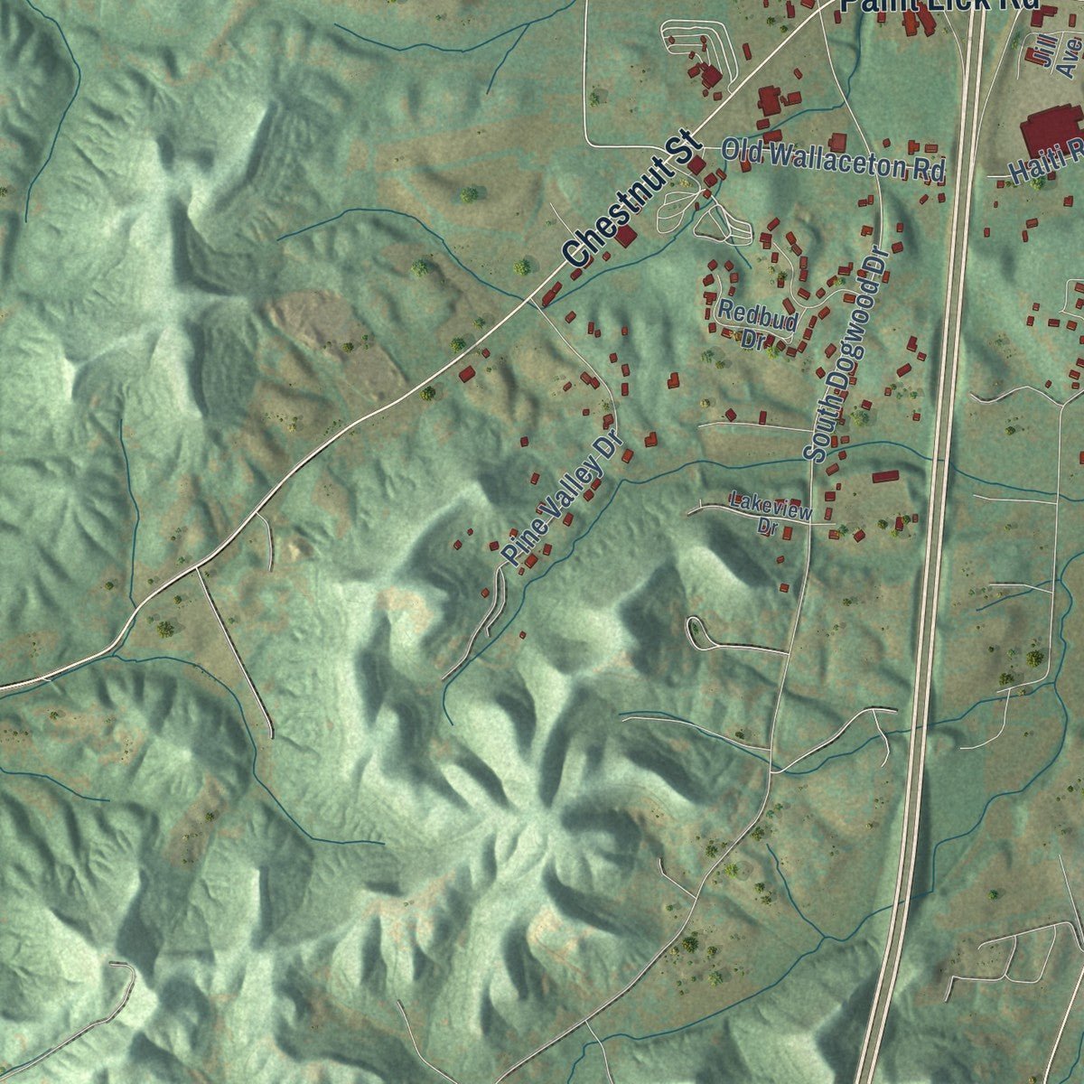
Explore Berea, Kentucky from a whole new perspective. Created using aerial imagery and detailed geographic data, this map captures Berea building by building, with labeled streets, familiar landmarks, and shaded topographical relief that highlights the natural contours of the landscape.
Combining modern data with the timeless character of a vintage atlas, this map is just as interesting up close as it is beautiful on the wall. Whether you grew up in Berea, spent memorable years there, or call it home today, this unique map is a great way to celebrate a place that means something to you. Zoom in on the preview to look for your street, and then order a print to put your memories on the wall.
Three ways to hang it
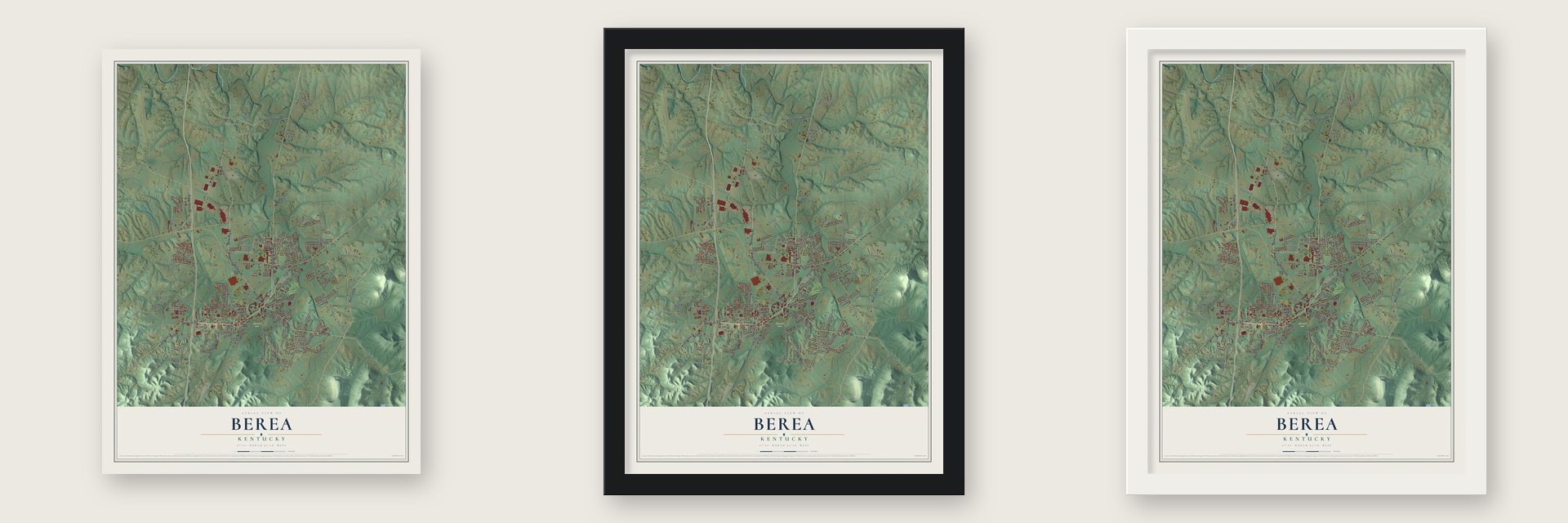
Unframed archival matte, a black wood frame or a white wood frame.
Up close
Geography Worth Displaying
This map was created using accurate cartographic data and authoritative geographic sources, including the U.S. Geological Survey and the Census Bureau. The map brings together terrain, waterways, roads, and building detail. The majority of the streets are labeled, houses are accurately depicted, and the topography is derived from government sources. Combining local data with carefully composed color and shading leads to this beautifully detailed Berea artwork for your wall.
Rather than simply showing street outlines, we’ve included as many of the street names as we could reasonably fit on the map while keeping their names legible. Zoom in on the high resolution preview to see exactly what’s on the map. We truly set out to create a statement piece for anyone who loves Berea. So whether it’s for you, or a gift for someone you love, we hope this map of Berea brings back fond memories.
Read the story behind this map of Berea, Kentucky from 2026.

Find your street
Names on the Berea map
Every name below is printed on this map. Look for your street, your school, the park where you played, or the pond down the road.
Places and landmarks4
- Berea City Hall
- Whites
- Middletown
- Alumni Field
Streets and roads174
- Chestnut Street
- Menelaus Road
- Prospect Street
- North Main Street
- White Station Road
- Walnut Meadow Road
- Paint Lick Road
- Big Hill Road
- Blue Lick Road
- Richmond Road North
- Peggy Flats Road
- Estill Street
- Mount Vernon Road
- Scaffold Cane Road
- Old Wallaceton Road
- Hickery Lane
- West Jefferson Street
- Mayde Road
- Ellipse Street
- Pirate Parkway
- South Dogwood Drive
- Burchwood Drive
- Kenway Street
- Prince Royal Drive
- Mitchell Road
- Short Line Pike
- Johnson Road
- Glades Road
- Bratcher Lane
- Old US Highway 25 North
Show all 174 streets
- Angel Road
- Ky 956
- Brooklyn Boulevard
- Bobtown Road
- Herndon Lane
- Pine Valley Drive
- Oposum Kingdom Road
- East Haiti Road
- Chapel Lane
- North Dogwood Drive
- Haiti Road
- Burnell Drive
- Logston Lane
- Village Drive
- Forest Street
- Vineyard Way
- Bryon Avenue
- Center Street
- Goldenhead Drive
- Rash Road
- Legacy Drive
- Winding Branch Drive
- Phyllis Drive
- Oak Street
- Delancey Street
- North Powell Street
- Newport Lane
- Boone Street
- Supreme Court
- Guynn Road
- Bear Mountain Road
- Mary Street
- Kaye Street
- Lorraine Court
- Baldwin Street
- Elm Street
- Harrison Road
- Mayde Spur Road
- Kara Drive
- Cherry Road
- Bocote Drive
- Adams Street
- Rainbow Court
- Cooper Drive
- Hollyhill Drive
- Pinnacle Street
- Plumtree Drive
- Pauley Court
- Plaza Drive
- Reed Hill
- Ridge Avenue
- Lewis Street
- Water Street
- Brady Lane
- Pine Street
- Henry Street
- Laural Drive
- Koa Court
- Clay Drive
- South Main Street
- Dale Avenue
- Peachtree Drive
- Ridgewood Drive
- Pauline Drive
- Kenway Avenue
- Christmas Ridge Road
- Blue Ridge Court
- Central Park Avenue
- Lynne Drive
- Pinnacle View Drive
- Peachbloom Hill Road
- Nandino Circle
- Burgundy Pass
- Mulberry Trce
- Stoney Creek Way
- Beechwood Drive
- Cabernet Drive
- Washington Street
- Ace Drive
- Fairway Drive
- Hidden Creek Drive
- Redbud Drive
- Marcellus Drive
- Bryants Trail
- Phillips Street
- Northway Drive
- Eastside Street
- Silver Creek Drive
- Jason Circle
- Lee Paige Court
- Trevor Drive
- Exodus Drive
- Kellsy Lane
- Walnut Street
- Slate Lick Road
- 76 Boulevard
- Estridge Road
- Hanson Street
- Bluebird Avenue
- Glade Street
- Morgan Street
- Peggy Flat Spr
- Layne Court
- East Street
- Blythe Court
- John Street
- Allie Court
- Jill Drive
- Jill Avenue
- Lakeview Drive
- Melody Street
- Opposum Kingdom Road
- Walnut Creek Drive
- Terri Avenue
- South Powell Avenue
- Castle Drive
- Brookgreen Drive
- Baugh Street
- Dellwood Drive
- Bond Street
- Neeley Street
- Dianna Drive
- Logston Heights
- Leslie Drive
- Cope Lane
- Pepper Drive
- Pearl Street
- Ellis Street
- Circle Drive
- Northfork Drive
- Candlewood Drive
- Oak Meadow Drive
- Liberty Avenue
- Walker Branch Drive
- Pennington Street
- Whitehall Drive
- Dinsmore Street
- Miracle Drive
- Rainbow Drive
- Valley Drive
- Hillcrest Drive
- Campus Drive
- Quincy Court
- Hurley Street
Names are listed as they appear on the printed map. Zoom into the product photos to find them.
About Berea, Kentucky
Berea is a city of 15,539 people in Madison County, on the border of the Cumberland Plateau. Its history follows that of Berea College, which John Gregg Fee, a minister and abolitionist, founded in 1855. A railway station opened here in 1882 on the Kentucky Central Railroad, a line that later became part of the Louisville and Nashville. The state assembly then incorporated Berea as a city in 1890.
“Recently a broad movement, in which Berea College took the lead in 1893, has developed to revive and stimulate the local crafts.”
- Crafts, spoonbread and fiddlesSo many arts and crafts are made in Berea that visitors come to see them, and the city holds several crafts festivals each year. The Spoonbread Festival in mid-September honors a cornmeal bread eaten with a wooden spoon. Since 1974, Berea College has held its Celebration of Traditional Music each October, with songs handed down in Appalachia.
- One high school from 1969Until the 1960s, Berea had two sets of schools. The city's Berea Independent Schools ran Berea Elementary and Berea High, while Berea College owned Knapp Hall and the Berea Foundation School. The high schools were then merged into Berea Community High School, run by the city district, which opened for the 1969-1970 school year.
- The tornado of 1996In April 1996 a tornado crossed the city and damaged about 800 to 1,000 homes. Around 20 percent of those homes were destroyed.
Keep exploring Kentucky
Berea is one of 659 Kentucky towns we've mapped. Every dot on the map is a print of its own.
The search covers every state, Kentucky first.
Near Berea
Order 2 or more town maps and save 10%. Shown in the size and finish you picked above, so they hang as a set.
- Farristown 12" x 18" / Archival Matte Print $39.99
- Kingston 12" x 18" / Archival Matte Print $39.99
- Paint Lick 12" x 18" / Archival Matte Print $39.99


More maps nearby: Kirksville, Roundstone, Richmond, Waco and Brodhead.
The art of mapping a place
How This Map Was Made
Real places. Remarkable detail. Discover the layers that turn geographic data into a map of home.

The view from above
Aerial imagery reveals the character of the land: woodland, open fields, and the patterns of a place.

The shape of the land
Elevation data brings hills, valleys, and subtle changes in the landscape into view.

The details of home
Roads, waterways, and building footprints come together to make the map feel unmistakably local.

Geography becomes art
Considered color, shading, and typography bring the layers together in a map made for your wall.


Process illustrated with Mendon, Massachusetts. Aerial imagery: USDA NAIP. Terrain: USGS 3D Elevation Program. Map details and finished artwork: KNOWOL.
The Details
About This Print
Choose an archival matte print, or a black or white Ayous wood frame. The archival matte print is unframed.
Select your size and finish above to see the matching product image and price.
Materials & Craftsmanship
A contemporary map with the character of a classic atlas, printed on archival matte paper. Optional frames are made from Ayous wood.
Your printed map does not include the watermark shown in the full-map preview.
Shipping & Delivery
Free shipping within the United States. Every print is made to order in the USA.
Buying a gift? Add a note in your cart and we'll include it. We never put prices in the package.
Prints ship within 2 to 3 business days. Allow 7 to 10 days total from ordering for delivery. Timing may vary during holidays or periods of high order volume.
Read our shipping policy.
Returns and damaged prints
Each print is made to order. Change-of-mind refunds are not available after production.
If your print arrives damaged, misprinted or incorrect, contact support@knowol.com within 30 days of receiving it. Include your order number, photos and a description of the issue.
Read our full refund and replacement policy. For questions about your order, email support@knowol.com.