
Search for another town


Free U.S. delivery 7 to 10 days after you order
Berkeley, California Map Art
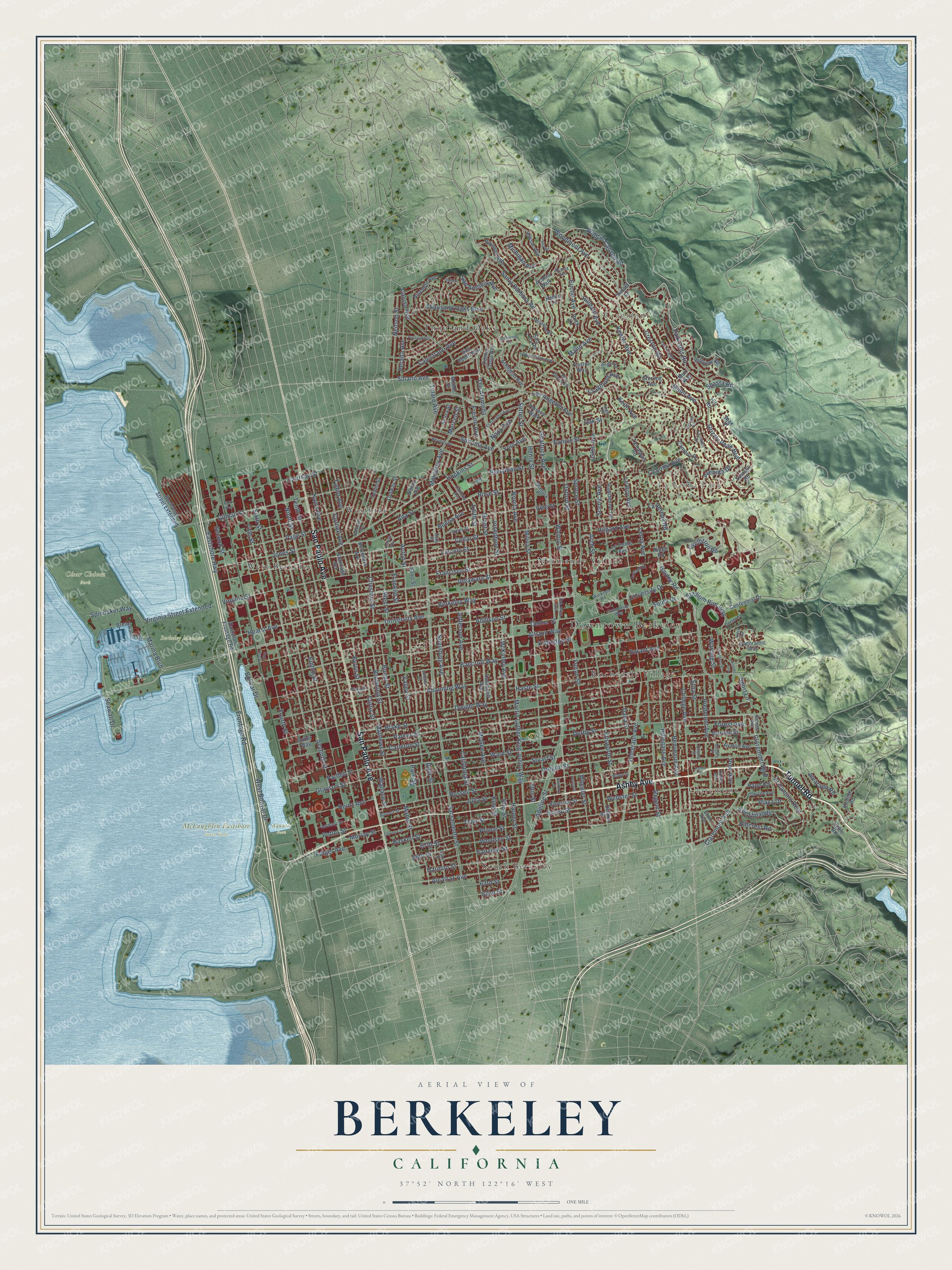
A new map of Berkeley, California, made in 2026 and printed to order on thick archival matte paper.
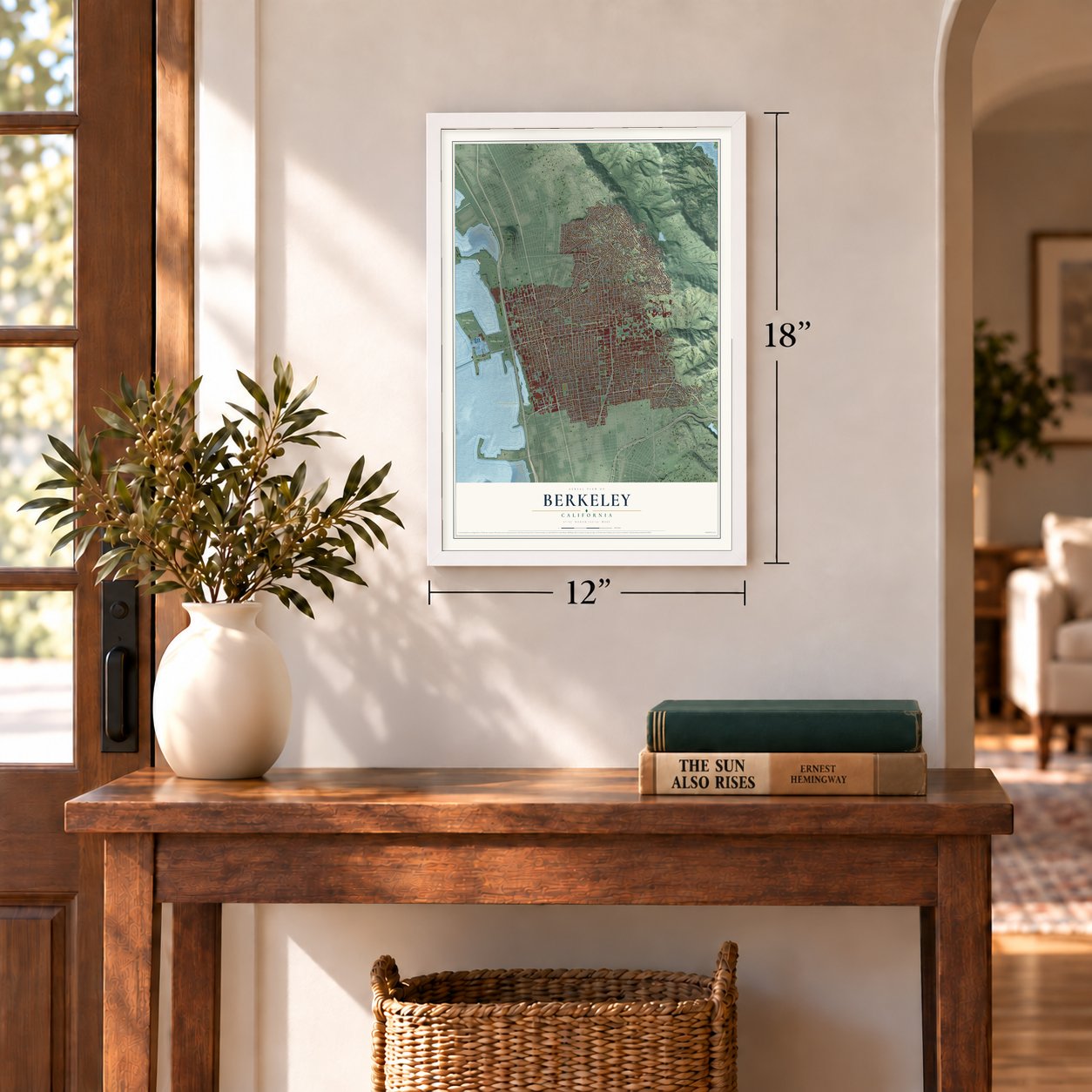
12" x 18" Archival Matte Print
A Map of Home. A Work of Art.
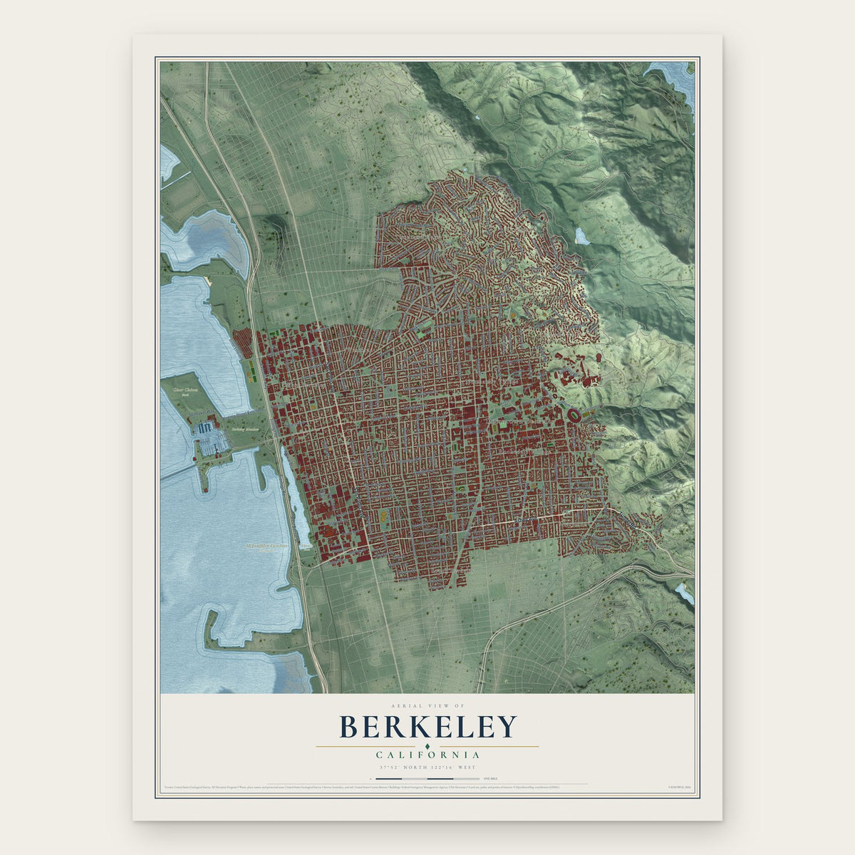
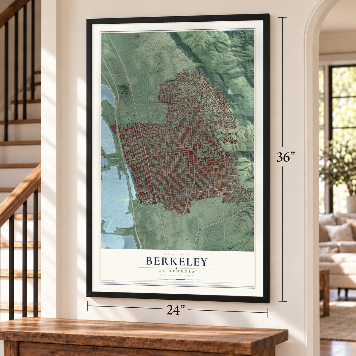
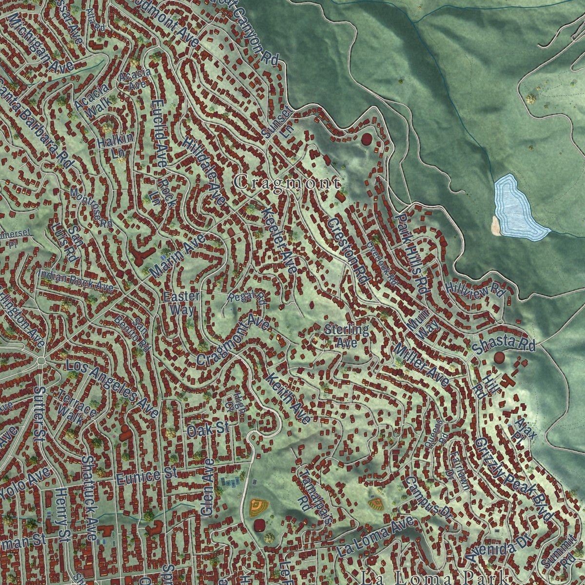
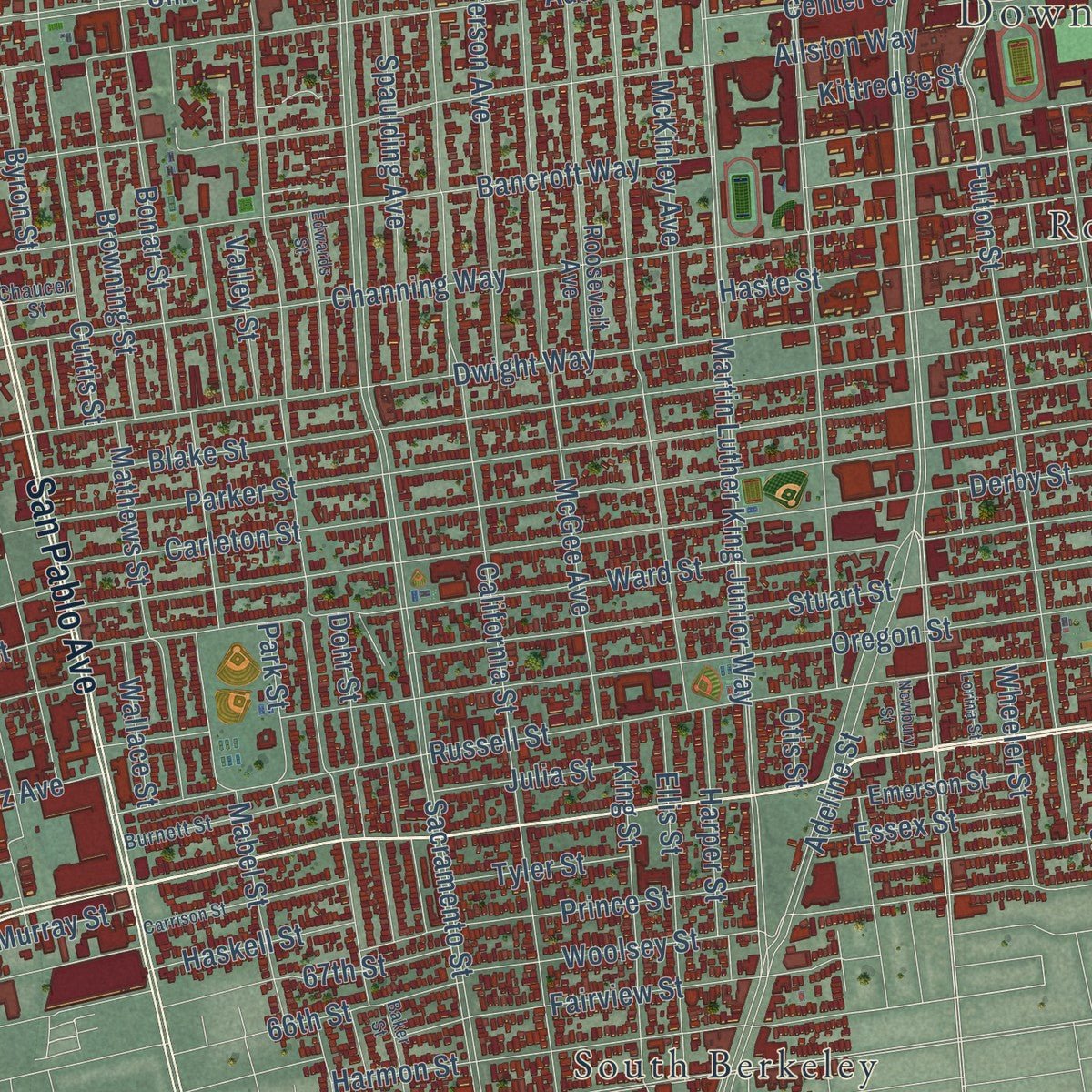
Explore Berkeley, California from a whole new perspective. Created using aerial imagery and detailed geographic data, this map captures Berkeley building by building, with labeled streets, familiar landmarks, and shaded topographical relief that highlights the natural contours of the landscape.
Combining modern data with the timeless character of a vintage atlas, this map is just as interesting up close as it is beautiful on the wall. Whether you grew up in Berkeley, spent memorable years there, or call it home today, this unique map is a great way to celebrate a place that means something to you. Zoom in on the preview to look for your street, and then order a print to put your memories on the wall.
Three ways to hang it
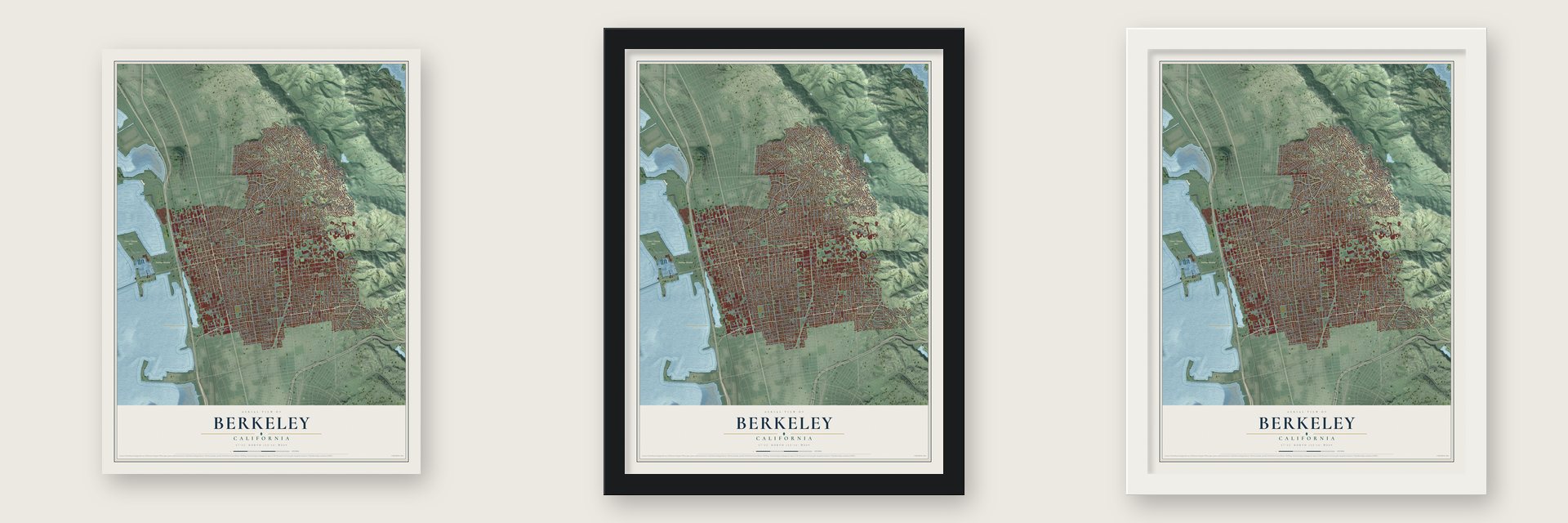
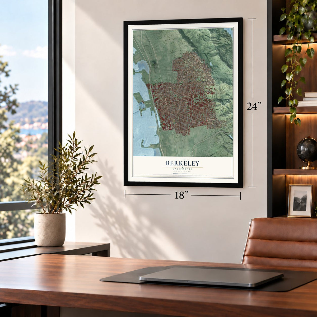
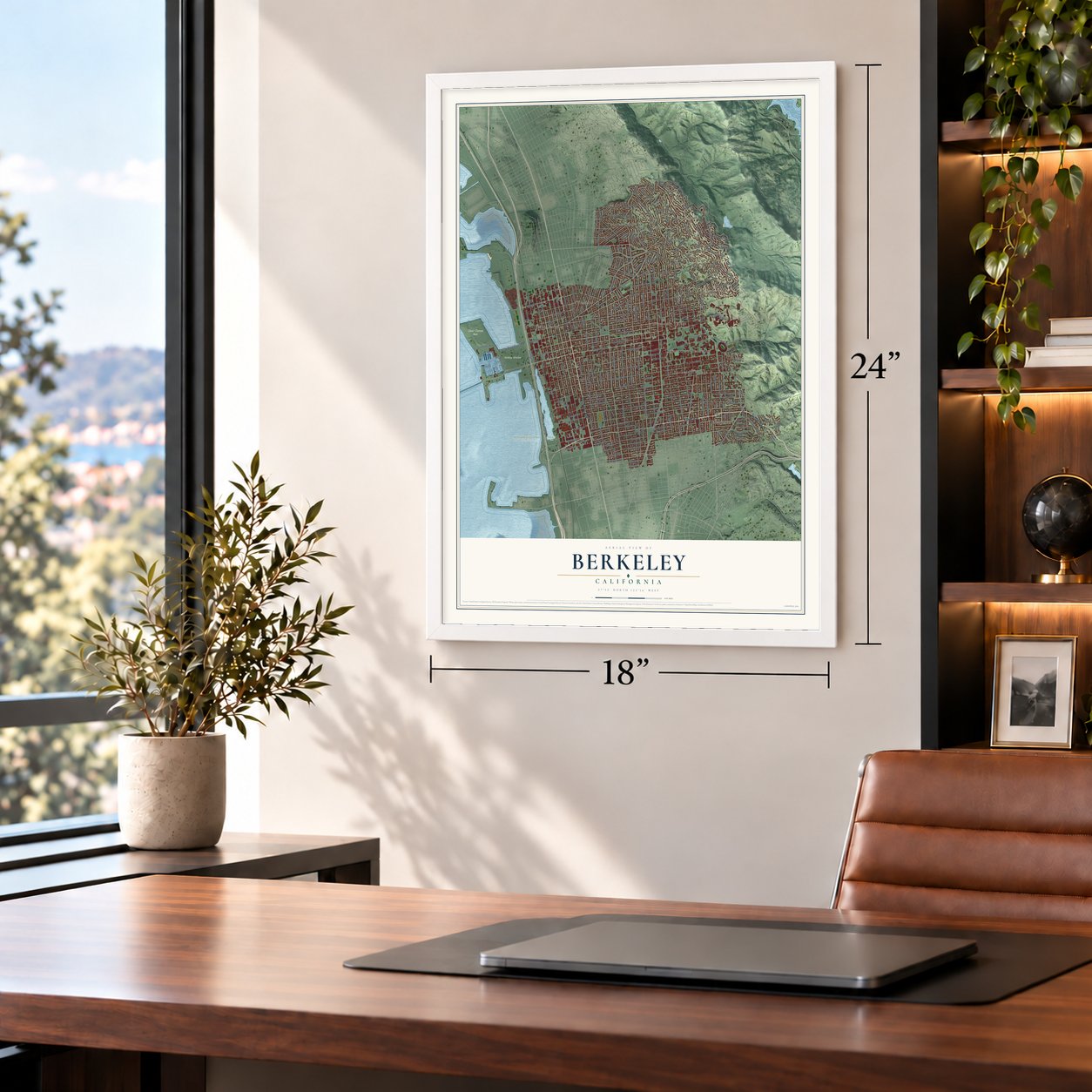
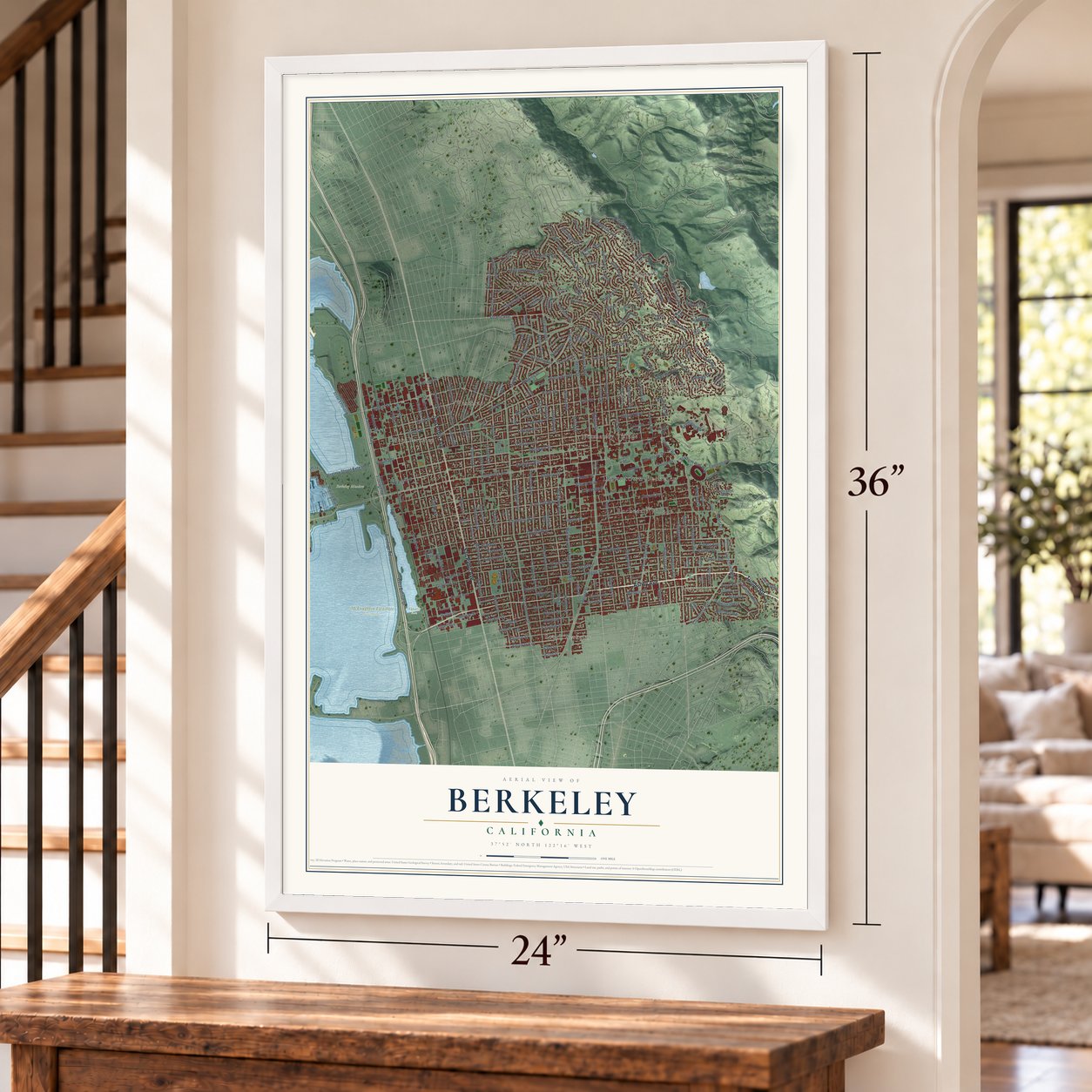
Unframed archival matte, a black wood frame or a white wood frame.
Up close
Geography Worth Displaying
This map was created using accurate cartographic data and authoritative geographic sources, including the U.S. Geological Survey and the Census Bureau. The map brings together terrain, waterways, roads, and building detail. The majority of the streets are labeled, houses are accurately depicted, and the topography is derived from government sources. Combining local data with carefully composed color and shading leads to this beautifully detailed Berkeley artwork for your wall.
Rather than simply showing street outlines, we’ve included as many of the street names as we could reasonably fit on the map while keeping their names legible. Zoom in on the high resolution preview to see exactly what’s on the map. We truly set out to create a statement piece for anyone who loves Berkeley. So whether it’s for you, or a gift for someone you love, we hope this map of Berkeley brings back fond memories.
Read the story behind this map of Berkeley, California from 2026.

About Berkeley, California
Berkeley is a city of 124,321 people in Alameda County. It sits on San Francisco Bay's east shore, and the Chochenyo Ohlone lived here first. The land later became part of Rancho San Antonio, a cattle ranch granted to Luis Peralta, a soldier at the Presidio of San Francisco. His sons Domingo and Vicente held most of what is now Berkeley, and their names are still on city streets. After the gold rush, squatters and doubtful court cases cut the brothers' land down to small tracts near their homes.
In 1866 the private College of California, then in Oakland, chose a new site on Strawberry Creek at the foot of the hills. It planned to pay for the campus by selling lots on a street grid that still shapes the city. Sales fell short, so the college joined forces with the state, and the public University of California was created in 1868. A settlement called Ocean View grew up around the wharf at the same time. On April 1, 1878, Ocean View, the campus area and nearby farms were incorporated together as the Town of Berkeley.
“In 1866, at Founders' Rock, a group of College of California men watched two ships standing out to sea through the Golden Gate. One of them, Frederick Billings, thought of the lines of the Anglo-Irish Anglican Bishop and philosopher George Berkeley, 'westward the course of empire takes its way,' and suggested that the town and college site be named for the eighteenth-century Anglo-Irish philosopher.”
- An art colony after 1906The 1906 earthquake did little harm to Berkeley, and thousands of refugees crossed the bay from San Francisco. Most of that city's painters and sculptors came with them, and between 1907 and 1911 they formed one of the biggest art colonies west of Chicago.
- Almost the state capitalIn 1908 voters across California turned down a plan to move the state capital to Berkeley, by about 33,000 votes. The city had already named the streets around the planned capitol grounds for California counties, and those streets still carry the names. On March 4, 1909, a new charter turned the Town of Berkeley into a city.
- The hill fire of 1923On September 17, 1923, a fire raced down the hills toward the campus and downtown. About 640 buildings were lost before a sea breeze came up late in the day and held the flames back, which let firefighters put the fire out.
- Julia Morgan's City ClubWomen organized the Berkeley City Club in 1927 to help the city's social, civic and cultural life. Its building, finished in 1929, was designed by the architect Julia Morgan, who mixed Moorish and Gothic details. It is on the National Register as the Berkeley Women's City Club.
- Free Speech Movement, 1964In 1964 the university banned handing out political literature on campus. Students answered with a huge protest that became known as the Free Speech Movement, and campus activism grew as the Vietnam War escalated.
Find your street
Names on the Berkeley map
Every name below is printed on this map. Look for your street, your school, the park where you played, or the pond down the road.
Places and landmarks14
- Downtown Berkeley
- Claremont
- Cragmont
- La Loma Park
- Aquatic Park
- Berkeley Meadow
- César Chávez Park
- McLaughlin Eastshore State Park
- Normandy Village
- Rochedale Village
- South Berkeley
- Thousand Oaks
Show all 14 places
- West Berkeley
- Westbrae
Streets and roads276
- Ashby Avenue
- Tunnel Road
- San Pablo Avenue
- Euclid Avenue
- Grizzly Peak Boulevard
- Piedmont Avenue
- Gayley Road
- Stadium Rim Way
- South Drive
- Park Hills Road
- Wildcat Canyon Road
- Claremont Boulevard
- Potter Street
- Derby Street
- Curtis Street
- University Avenue
- Shattuck Avenue
- Marin Avenue
- Ninth Street
- Cyclotron Road
- Warring Street
- Marina Boulevard
- Hearst Avenue
- Hopkins Street
- Spruce Street
- Claremont Avenue
- Sutter Street
- Los Angeles Avenue
- 62nd Street
- Martin Luther King Junior Way
Show all 276 streets
- Sacramento Street
- Cedar Street
- Rose Street
- Seventh Street
- Dwight Way
- Sixth Street
- Virginia Street
- Channing Way
- Bancroft Way
- Parker Street
- Gilman Street
- California Street
- Milvia Street
- Russell Street
- Acton Street
- Delaware Street
- Frontage Road
- Carleton Street
- Oxford Street
- The Alameda
- Eighth Street
- Tenth Street
- Adeline Street
- Addison Street
- Telegraph Avenue
- Allston Way
- McGee Avenue
- Grant Street
- Alcatraz Avenue
- Cragmont Avenue
- College Avenue
- Blake Street
- Woolsey Street
- Stuart Street
- Fifth Street
- Fourth Street
- Oregon Street
- Ward Street
- Prince Street
- Shasta Road
- Monterey Avenue
- Colusa Avenue
- Fulton Street
- Francisco Street
- Berkeley Way
- Solano Avenue
- Second Street
- Haste Street
- Peralta Avenue
- Eastshore Highway
- Keeler Avenue
- Walnut Street
- Santa Barbara Road
- Durant Avenue
- Vine Street
- Neilson Street
- Arch Street
- West Bolivar Drive
- Creston Road
- Mabel Street
- Ellsworth Street
- Benvenue Avenue
- Hillegass Avenue
- Bonita Avenue
- Henry Street
- La Loma Avenue
- Webster Street
- Keith Avenue
- Page Street
- Regent Street
- Bolivar Drive
- Dana Street
- Jones Street
- Lincoln Street
- Josephine Street
- Harmon Street
- The Uplands
- Hillcrest Road
- Kains Avenue
- Miller Avenue
- King Street
- West Street
- Cornell Avenue
- Harrison Street
- Le Roy Avenue
- Leroy Avenue
- Thousand Oaks Boulevard
- Scenic Avenue
- Fairview Street
- Alvarado Road
- Hilldale Avenue
- Jefferson Avenue
- Bonar Street
- Capistrano Avenue
- Woodmont Avenue
- Eunice Street
- Mathews Street
- Ellis Street
- Chestnut Street
- Spaulding Avenue
- Grayson Street
- McKinley Avenue
- Browning Street
- Virginia Street Extended
- University Drive
- Heinz Avenue
- Folger Avenue
- Hilgard Avenue
- Dohr Street
- Garber Street
- Seawall Drive
- El Camino Real
- Ada Street
- Fresno Avenue
- San Antonio Avenue
- Sonoma Avenue
- Center Street
- Harper Street
- Byron Street
- Edith Street
- Forest Avenue
- Glen Avenue
- Berryman Street
- Spinnaker Way
- Franklin Street
- Avenida Drive
- Tulare Avenue
- 63rd Street
- Wheeler Street
- Essex Street
- Haskell Street
- Michigan Avenue
- 66th Street
- 67th Street
- Park Street
- Julia Street
- Plaza Drive
- Pardee Street
- Talbot Avenue
- Buena Avenue
- Tyler Street
- Murray Street
- Etna Street
- La Vereda Road
- Valley Street
- Kittredge Street
- Wallace Street
- Pine Avenue
- Napa Avenue
- Merced Street
- Yolo Avenue
- Sport Lane
- Oak Street
- Otis Street
- Panoramic Way
- Arlington Avenue
- Boynton Avenue
- Terrace Walk
- Eastshore Frontage Road
- San Luis Road
- Campus Drive
- Vincente Avenue
- Stannage Avenue
- Summit Road
- Le Conte Avenue
- Roosevelt Avenue
- Contra Costa Avenue
- Sterling Avenue
- Centennial Drive
- Hill Road
- Tamalpais Road
- Ridge Road
- Ordway Street
- Vicente Road
- Hawthorne Terrace
- Deakin Street
- Buchanan Street Extended
- Vassar Avenue
- Avalon Avenue
- Emerson Street
- Short Street
- Hillview Road
- Breakwater Drive
- San Pedro Avenue
- Belvedere Avenue
- Cutter Way
- Easter Way
- Sierra Street
- Roble Road
- Hazel Road
- Rock Lane
- Sunset Lane
- Albina Avenue
- Tevlin Street
- Eton Avenue
- Acacia Walk
- Modoc Street
- Ajax Place
- Halkin Lane
- Muir Way
- Belrose Avenue
- Fairlawn Drive
- Indian Rock Avenue
- Beverly Place
- Carlotta Avenue
- Burnett Street
- El Dorado Avenue
- Shattuck Place
- Anthony Street
- Oakvale Avenue
- Regal Road
- Wickson Road
- Jaynes Street
- Campanile Way
- Montrose Road
- Holly Street
- San Benito Road
- Linden Avenue
- Chaucer Street
- Howe Street
- High Court
- Acacia Avenue
- Kelsey Street
- Cherry Street
- Queens Road
- Overlook Road
- Carrison Street
- Northside Avenue
- Prospect Street
- Edwards Street
- Portland Avenue
- Baker Street
- Somerset Place
- Hillside Avenue
- Kala Bagai Way
- Haviland Road
- Canyon Road
- Juanita Way
- Arden Road
- Lorina Street
- Newbury Street
- Essex Way
- Ashby Place
- Vallejo Street
- Alta Road
- Park Way
Names are listed as they appear on the printed map. Zoom into the product photos to find them.
The art of mapping a place
How This Map Was Made
Real places. Remarkable detail. Discover the layers that turn geographic data into a map of home.

The view from above
Aerial imagery reveals the character of the land: woodland, open fields, and the patterns of a place.

The shape of the land
Elevation data brings hills, valleys, and subtle changes in the landscape into view.

The details of home
Roads, waterways, and building footprints come together to make the map feel unmistakably local.

Geography becomes art
Considered color, shading, and typography bring the layers together in a map made for your wall.


Process illustrated with Mendon, Massachusetts. Aerial imagery: USDA NAIP. Terrain: USGS 3D Elevation Program. Map details and finished artwork: KNOWOL.
The Details
About This Print
Choose an archival matte print, or a black or white Ayous wood frame. The archival matte print is unframed.
Select your size and finish above to see the matching product image and price.
Materials & Craftsmanship
A contemporary map with the character of a classic atlas, printed on archival matte paper. Optional frames are made from Ayous wood.
Your printed map does not include the watermark shown in the full-map preview.
Shipping & Delivery
Free shipping within the United States. Every print is made to order in the USA.
Buying a gift? Add a note in your cart and we'll include it. We never put prices in the package.
Prints ship within 2 to 3 business days. Allow 7 to 10 days total from ordering for delivery. Timing may vary during holidays or periods of high order volume.
Read our shipping policy.
Returns and damaged prints
Each print is made to order. Change-of-mind refunds are not available after production.
If your print arrives damaged, misprinted or incorrect, contact support@knowol.com within 30 days of receiving it. Include your order number, photos and a description of the issue.
Read our full refund and replacement policy. For questions about your order, email support@knowol.com.
Find your town
Looking for another city?
Find a map of home in our California collection, or any town in the country.
Nearby
Maps of towns near Berkeley
Know someone from one of these towns? Their map makes a great gift.
 Emeryville
, California
From $39.99See the map
 Albany
, California
From $39.99See the map
 Kensington
, California
From $39.99See the map
More maps nearby: El Cerrito, Piedmont, East Richmond Heights, Richmond and Rollingwood.