
Search for another town




Free U.S. delivery 7 to 10 days after you order
Big Spring, Texas Map Art
Building by building, with labeled streets and shaded relief.
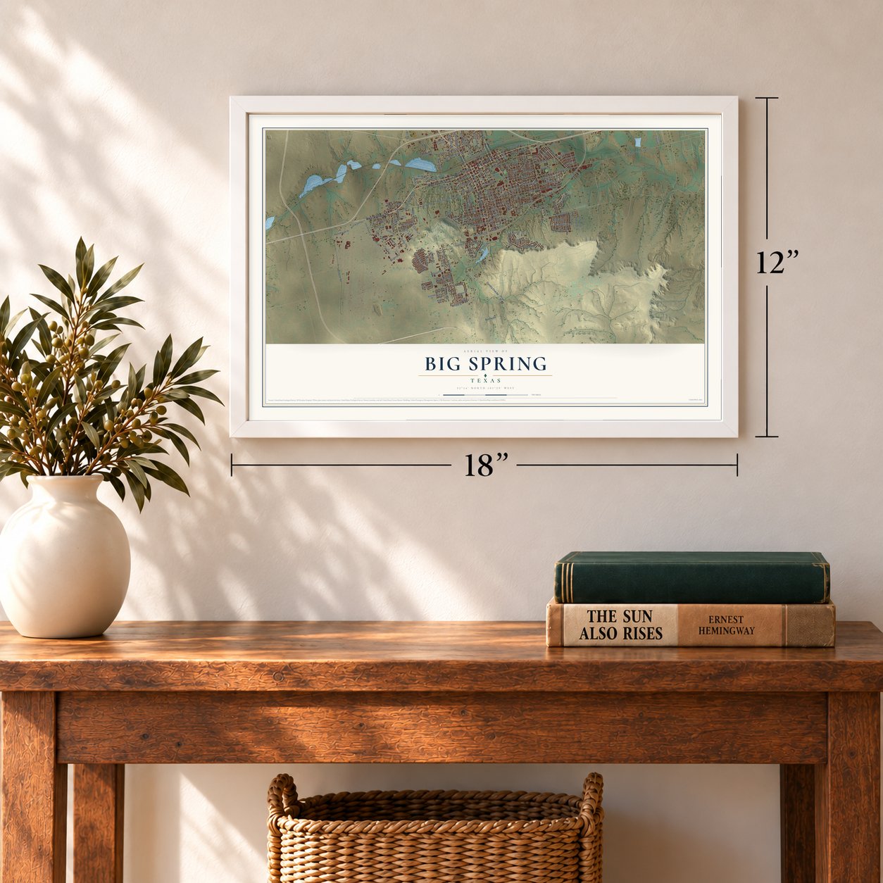
12" x 18" Archival Matte Print
A Map of Home. A Work of Art.
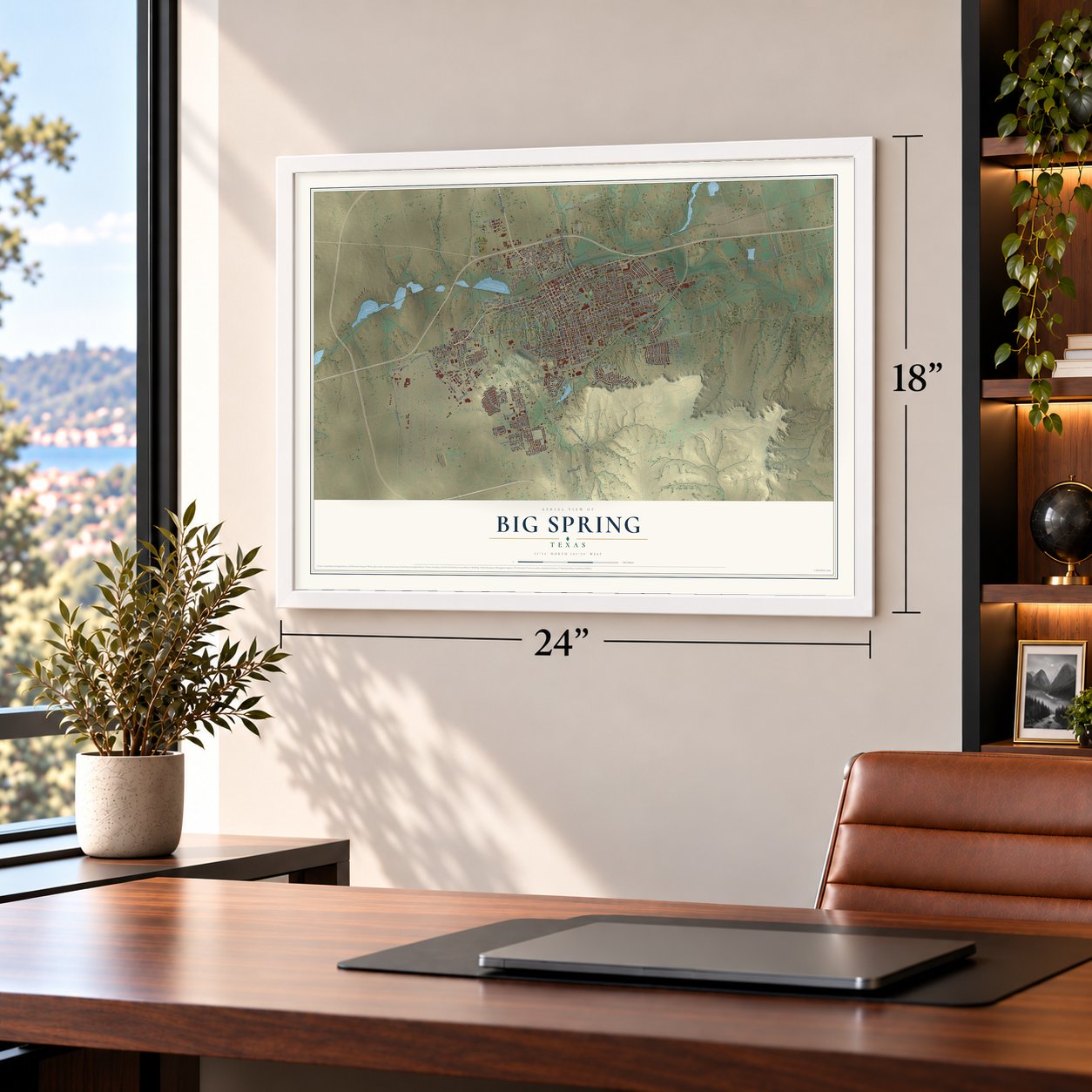
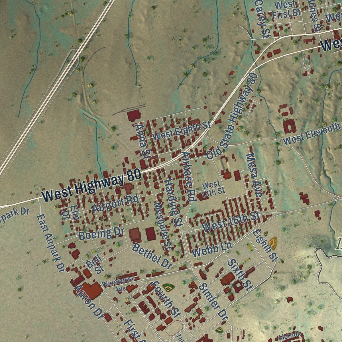
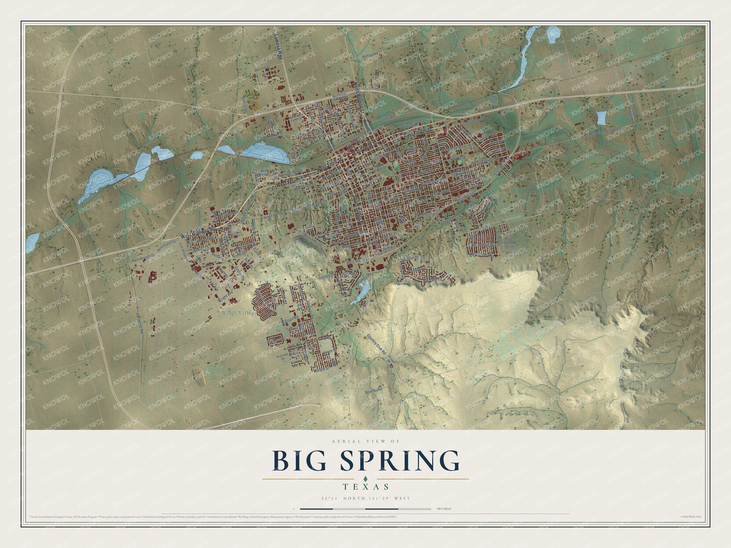
Explore Big Spring, Texas from a whole new perspective. Created using aerial imagery and detailed geographic data, this map captures Big Spring building by building, with labeled streets, familiar landmarks, and shaded topographical relief that highlights the natural contours of the landscape.
Combining modern data with the timeless character of a vintage atlas, this map is just as interesting up close as it is beautiful on the wall. Whether you grew up in Big Spring, spent memorable years there, or call it home today, this unique map is a great way to celebrate a place that means something to you. Zoom in on the preview to look for your street, and then order a print to put your memories on the wall.
Three ways to hang it
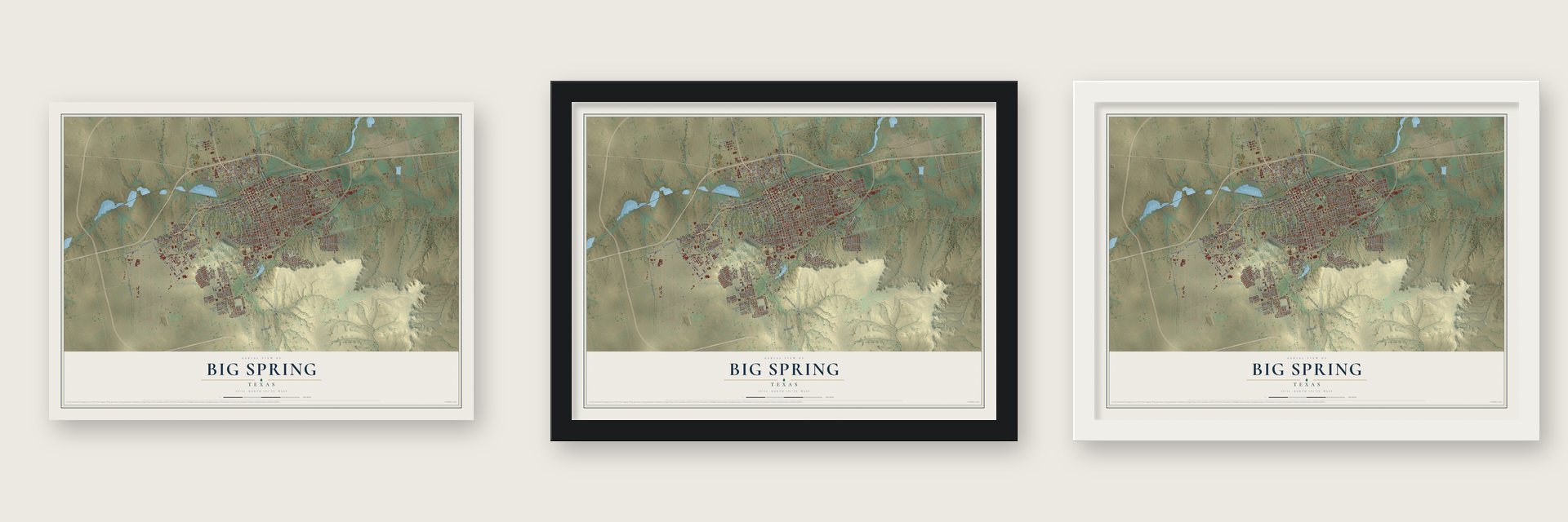
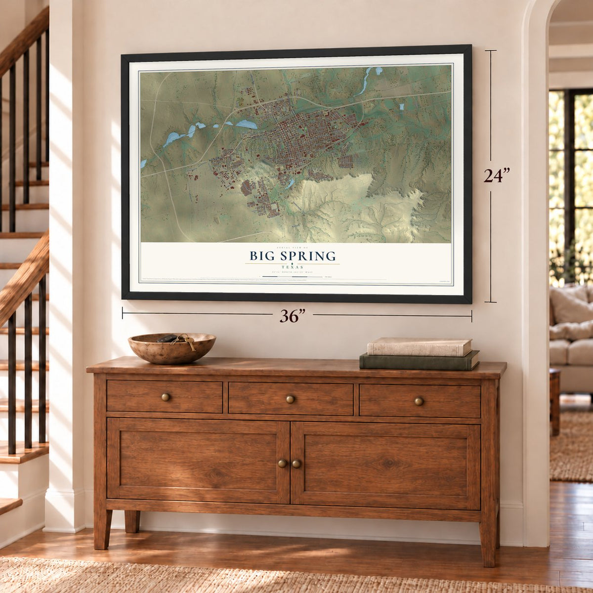
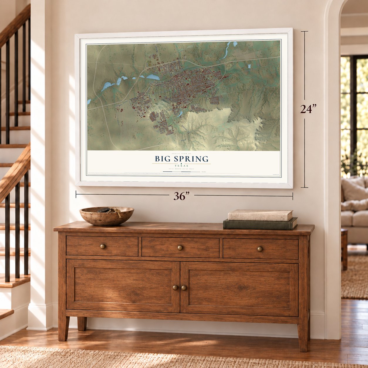
Unframed archival matte, a black wood frame or a white wood frame.
Up close
Geography Worth Displaying
This map was created using accurate cartographic data and authoritative geographic sources, including the U.S. Geological Survey and the Census Bureau. The map brings together terrain, waterways, roads, and building detail. The majority of the streets are labeled, houses are accurately depicted, and the topography is derived from government sources. Combining local data with carefully composed color and shading leads to this beautifully detailed Big Spring artwork for your wall.
Rather than simply showing street outlines, we’ve included as many of the street names as we could reasonably fit on the map while keeping their names legible. Zoom in on the high resolution preview to see exactly what’s on the map. We truly set out to create a statement piece for anyone who loves Big Spring. So whether it’s for you, or a gift for someone you love, we hope this map of Big Spring brings back fond memories.
Read the story behind this map of Big Spring, Texas from 2026.

Find your street
Names on the Big Spring map
Every name below is printed on this map. Look for your street, your school, the park where you played, or the pond down the road.
Places and landmarks2
- Webb Village
- Big Spring State Park
Streets and roads200
- East Third Street
- West Highway 80
- West Third Street
- East Fourth Street
- Lamesa Highway
- South Gregg Street
- West Fourth Street
- North Benton Street
- Simler Drive
- East FM 700
- East Marcy Drive
- Randolph Boulevard
- East First Street
- West FM 700
- Birdwell Lane
- West Marcy Drive
- Second Street
- Country Club Road
- First Avenue
- Wright Avenue
- Eleventh Place Extended
- Fordham Avenue
- Anna Street
- East Eleventh Place
- Douglas Street
- North Main Street
- Perimeter Road
- Apron Drive
- Shepard Lane
- Fourth Street
Show all 200 streets
- West Street
- East 25th Street
- Northwest Fourth Street
- East Tenth Street
- Rickabaugh Drive
- Goliad Street
- Wasson Road
- Runnels Street
- Johnson Street
- South Main Street
- Scurry Street
- Nolan Street
- Martin Luther King Boulevard
- West 16th Street
- Settles Street
- Parkway Road
- State Street
- East Second Street
- East Sixth Street
- East 15th Street
- East 14th Street
- Owens Street
- West Seventh Street
- East 17th Street
- West Fifth Street
- West Second Street
- Washington Boulevard
- East 16th Street
- Thorpe Street
- Donley Street
- West Sixth Street
- Baylor Boulevard
- County Road
- Virginia Avenue
- South Monticello Street
- Old State Highway 80
- Dixon Street
- Kentucky Way
- Alamesa Drive
- Father Delaney Street
- Mc Donald Drive
- Highland Drive
- North Bell Street
- Connally Street
- Allendale Road
- East 19th Street
- Wood Street
- Lynn Drive
- Circle Drive
- Airbase Road
- Whipkey Drive
- East 22nd Street
- North Goliad Street
- Webb Lane
- Hearn Street
- Westover Road
- Willard Street
- North Runnels Street
- Edwards Boulevard
- Scott Drive
- Calvin Street
- Airport Road
- Alabama Street
- Ann Drive
- Merrily Drive
- Dallas Street
- Bethel Drive
- Harding Street
- Adams Drive
- North Gregg Street
- East I-20
- Boeing Drive
- Cactus Drive
- Zenoba Drive
- Joanne Drive
- Tucson Road
- Shirley Drive
- Vicky Street
- Oil Mill Road
- Mesa Avenue
- Dundee Street
- Duke Avenue
- Ohio Street
- Oak Glen Drive
- Boatler Road
- Cornell Avenue
- Hilltop Road
- Clanton Street
- Carl Street
- Sixth Street
- Carey Street
- North Owens Street
- West First Street
- Eighth Street
- Northeast Twelfth Street
- South Midway Road
- Langley Drive
- Crestline Road
- Mulberry Avenue
- Scenic Drive
- West Eleventh Place
- West Eighth Street
- East 18th Street
- Austin Street
- East 13th Street
- South Bell Street
- Pennsylvania Avenue
- Driver Road
- Northwest Seventh Street
- Northwest Tenth Street
- North Monticello Street
- West 17th Street
- East Eighth Street
- Stadium Avenue
- Grafa Street
- Cindy Lane
- Rutgers Avenue
- Hillside Drive
- Mesquite Street
- East 20th Street
- Tulane Avenue
- East 24th Street
- Northeast First Street
- West Airpark Drive
- Navajo Drive
- Carol Drive
- Craigmont Drive
- Cole Lane
- Colgate Avenue
- East Airpark Drive
- Cedar Road
- Granada Drive
- Jones Street
- Warren Street
- Grace Street
- Elm Drive
- Yale Avenue
- Bilger Street
- Bell Street
- Apache Drive
- Arnett Road
- Cecilia Street
- Mittel Avenue
- Young Street
- West Ninth Street
- San Antonio Street
- Brent Drive
- Ridgeroad Drive
- West 13th Street
- Dow Drive
- Melrose Lane
- Van Horn Drive
- Arizona Street
- Indian Ridge
- Elgin Street
- Warehouse Avenue
- Hamilton Street
- Sycamore Street
- Joshua Drive
- Albrook Drive
- East 21st Street
- Third Street
- Lamar Avenue
- Caylor Drive
- Marijo Avenue
- Royal Coast Lane
- West 22nd Street
- Odessa Drive
- Village Road
- Fisher Street
Names are listed as they appear on the printed map. Zoom into the product photos to find them.
About Big Spring, Texas
Big Spring is a city of 26,144 people and the county seat of Howard County, set in a rocky gorge below the Caprock escarpment in West Texas. It is named for a spring that drew buffalo, antelope and mustangs, and in the 1840s and 1850s Comanche parties gathered there before riding south on raids into Mexico. In 1849 Capt. Randolph B. Marcy's expedition, on its way back from Santa Fe, made the spring a stopping place along the Overland Trail.
By the late 1870s buffalo hunters had built a settlement of hide huts and saloons beside the water. The Texas and Pacific Railroad came through in the early 1880s, and in 1882 Big Spring became the county seat. A year later Joseph Heneage Finch, the seventh Earl of Aylesford, bought 37,000 acres of ranchland in the area, and he is credited with putting up the town's first permanent building, a butcher shop.
“To the native or established residents who may wince at the plural in Big Spring, it should be explained that until about 1916, when for some unexplained reason the name dropped the final 's', the official name of the town was indeed Big Springs.”
- The spring that ran dryEarly scouts and pioneers called the water cold, clear and dependable, in a pool about 15 feet deep. When the railroad arrived, the spring gave more than 100,000 gallons a day, but railroad and town wells pumped far more than rain could replace. The water table dropped below the outlet, and by the mid-1920s the spring was dry. The city now refills it in Comanche Trail Park so visitors can see how it once looked.
- Oil in the 1920sOil found in the region in the 1920s marked the start of the oil industry in the Permian Basin of West Texas. Oil became the backbone of the local economy and reached its peak in Big Spring during the boom of the 1950s. The Delek US refinery, once Alon USA, stands in the city.
- More than 5,000 bombardiersThe Big Spring Army Air Corps Bombardier School opened southwest of the city in 1942 and trained more than 5,000 bombardiers in the war. It later became an Air Force training base named for James Webb, a Big Spring native killed in action in World War II. Webb Air Force Base closed in 1977, and the city received its grounds, now the McMahon-Wrinkle Industrial Airpark. The Hangar 25 Air Museum keeps its history in a restored wartime hangar.
- Opening scenes of Midnight CowboyMidnight Cowboy, which won the Academy Award for Best Picture of 1969, opens with Jon Voight as Joe Buck in scenes shot in Big Spring and nearby Stanton. Hollywood came back in 1980 to film Hangar 18, a science fiction story about a space shuttle that collides with an alien spacecraft, and local residents appeared on screen as extras.
Keep exploring Texas
Big Spring is one of 2,049 Texas towns we've mapped. Every dot on the map is a print of its own.
The search covers every state, Texas first.
Near Big Spring
Order 2 or more town maps and save 10%. Shown in the size and finish you picked above, so they hang as a set.
- Sand Springs 12" x 18" / Archival Matte Print $39.99
- Coahoma 12" x 18" / Archival Matte Print $39.99
- Forsan 12" x 18" / Archival Matte Print $39.99


More maps nearby: Stanton, Ackerly, Garden City, Grady and Greenwood.
The art of mapping a place
How This Map Was Made
Real places. Remarkable detail. Discover the layers that turn geographic data into a map of home.

The view from above
Aerial imagery reveals the character of the land: woodland, open fields, and the patterns of a place.

The shape of the land
Elevation data brings hills, valleys, and subtle changes in the landscape into view.

The details of home
Roads, waterways, and building footprints come together to make the map feel unmistakably local.

Geography becomes art
Considered color, shading, and typography bring the layers together in a map made for your wall.


Process illustrated with Mendon, Massachusetts. Aerial imagery: USDA NAIP. Terrain: USGS 3D Elevation Program. Map details and finished artwork: KNOWOL.
The Details
About This Print
Choose an archival matte print, or a black or white Ayous wood frame. The archival matte print is unframed.
Select your size and finish above to see the matching product image and price.
Materials & Craftsmanship
A contemporary map with the character of a classic atlas, printed on archival matte paper. Optional frames are made from Ayous wood.
Your printed map does not include the watermark shown in the full-map preview.
Shipping & Delivery
Free shipping within the United States. Every print is made to order in the USA.
Buying a gift? Add a note in your cart and we'll include it. We never put prices in the package.
Prints ship within 2 to 3 business days. Allow 7 to 10 days total from ordering for delivery. Timing may vary during holidays or periods of high order volume.
Read our shipping policy.
Returns and damaged prints
Each print is made to order. Change-of-mind refunds are not available after production.
If your print arrives damaged, misprinted or incorrect, contact support@knowol.com within 30 days of receiving it. Include your order number, photos and a description of the issue.
Read our full refund and replacement policy. For questions about your order, email support@knowol.com.