
Search for another town




Free U.S. delivery 7 to 10 days after you order
Borger, Texas Map Art
Building by building, with labeled streets and shaded relief.
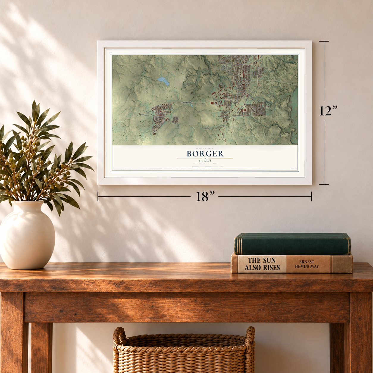
12" x 18" Archival Matte Print
A Map of Home. A Work of Art.
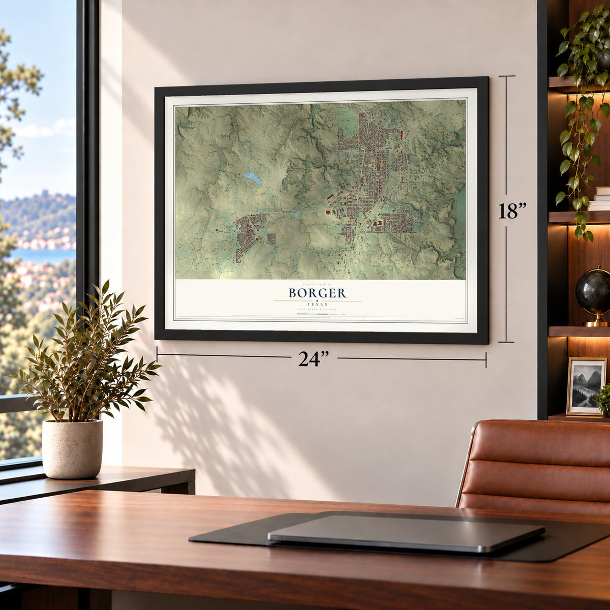
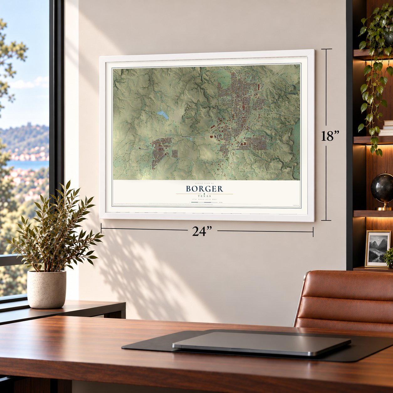
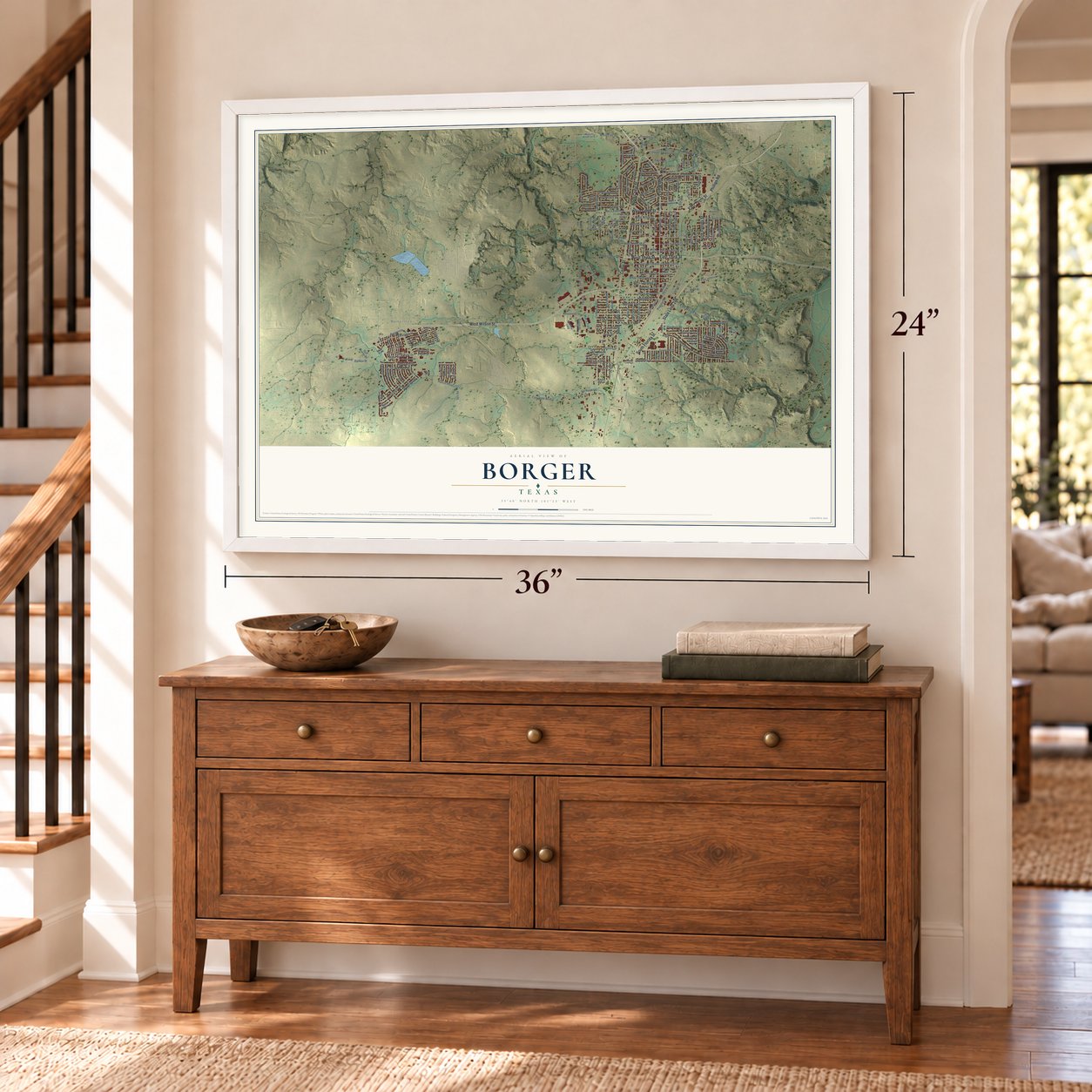
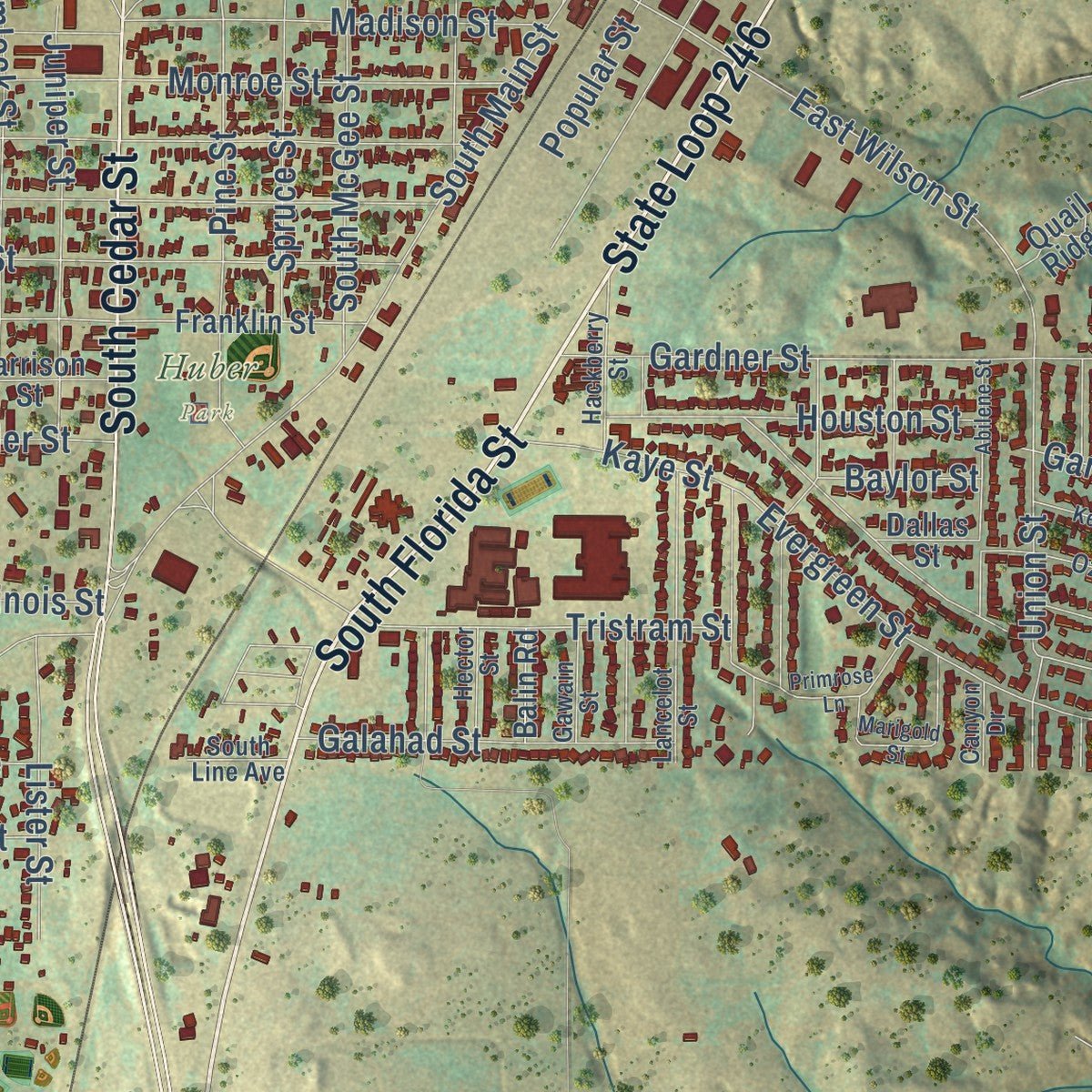
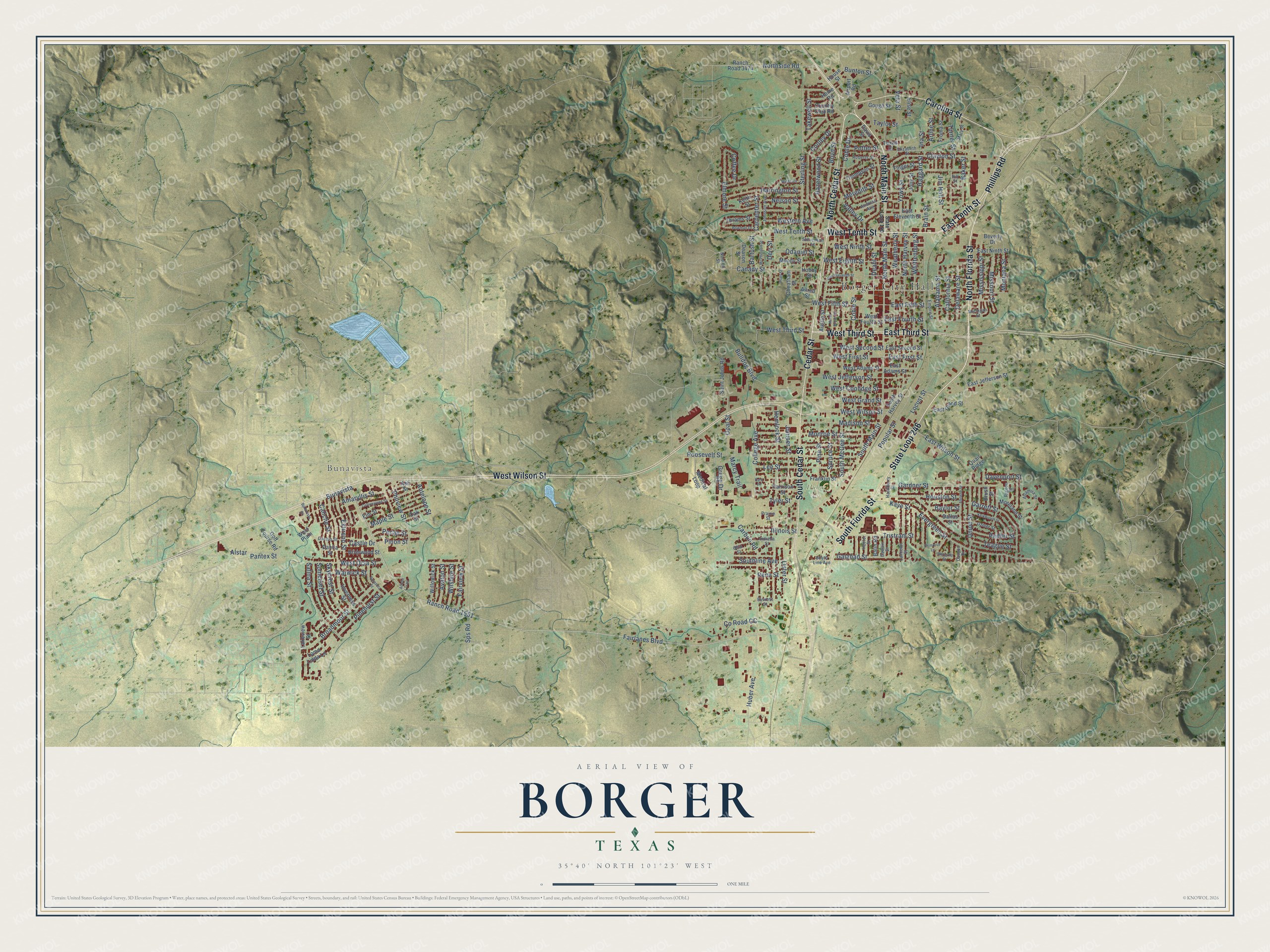
Explore Borger, Texas from a whole new perspective. Created using aerial imagery and detailed geographic data, this map captures Borger building by building, with labeled streets, familiar landmarks, and shaded topographical relief that highlights the natural contours of the landscape.
Combining modern data with the timeless character of a vintage atlas, this map is just as interesting up close as it is beautiful on the wall. Whether you grew up in Borger, spent memorable years there, or call it home today, this unique map is a great way to celebrate a place that means something to you. Zoom in on the preview to look for your street, and then order a print to put your memories on the wall.
Three ways to hang it
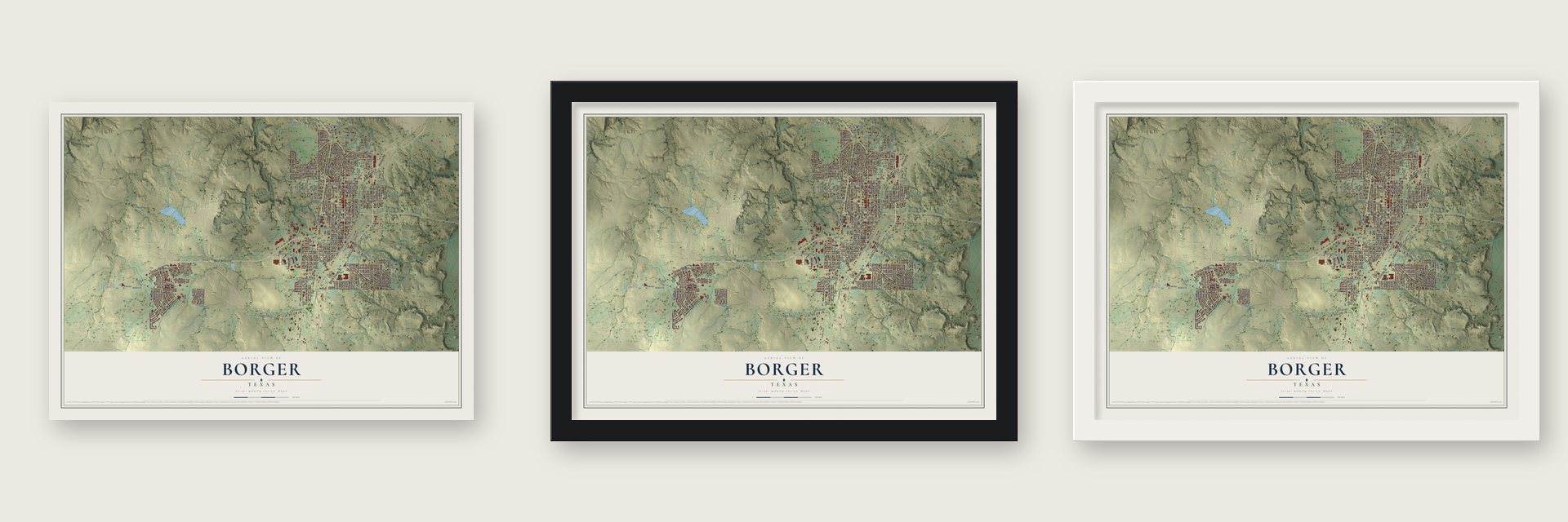
Unframed archival matte, a black wood frame or a white wood frame.
Up close
Geography Worth Displaying
This map was created using accurate cartographic data and authoritative geographic sources, including the U.S. Geological Survey and the Census Bureau. The map brings together terrain, waterways, roads, and building detail. The majority of the streets are labeled, houses are accurately depicted, and the topography is derived from government sources. Combining local data with carefully composed color and shading leads to this beautifully detailed Borger artwork for your wall.
Rather than simply showing street outlines, we’ve included as many of the street names as we could reasonably fit on the map while keeping their names legible. Zoom in on the high resolution preview to see exactly what’s on the map. We truly set out to create a statement piece for anyone who loves Borger. So whether it’s for you, or a gift for someone you love, we hope this map of Borger brings back fond memories.

Find your street
Names on the Borger map
Every name below is printed on this map. Look for your street, your school, the park where you played, or the pond down the road.
Places and landmarks3
- Borger City Hall
- Bunavista
- Huber Park
Streets and roads221
- State Loop 246
- North Florida Street
- East Tenth Street
- West Tenth Street
- North Main Street
- Cedar Street
- West Wilson Street
- South Cedar Street
- South Florida Street
- North Cedar Street
- East Third Street
- West Third Street
- Carolina Street
- Phillips Road
- Fairlanes Boulevard
- Ranch Road 1551
- West First Street
- Sps Road
- East Wilson Street
- West Grand Street
- Northside Road
- County Road CC
- Bunton Street
- Huber Avenue
- Brain Street
- South Main Street
- Boyd Street
- Sterling Street
- Hemlock Street
- Roosevelt Street
Show all 221 streets
- Evergreen Street
- Clayton Street
- Cooley Drive
- Elmore Street
- South McGee Street
- Deahl Street
- Whittenburg Street
- Weatherly Street
- North Harvey Street
- Madison Street
- Yows Street
- Coble Drive
- Broadmoor Street
- Monroe Street
- Carbon Road
- Gardner Street
- Bulldog Boulevard
- Coble Street
- Turner Street
- Tristram Street
- College Avenue
- Locust Street
- Lee Street
- Veta Street
- Amaryllis Street
- Garrett Street
- Pine Street
- Salina Street
- Union Street
- West Fifth Street
- Juniper Street
- Canady Street
- Popular Street
- Harrington Street
- Philview Street
- East Fourth Street
- West Jefferson Street
- Haggard Street
- Marcy Trail
- Alabama Street
- West Ocla Street
- Baker Street
- Spruce Street
- East Fifth Street
- Hazelwood Street
- Galahad Street
- Houston Street
- Skycrest Street
- Somerset Street
- Estireno Street
- Mississippi Street
- Pecan Street
- Maple Street
- Southline Avenue
- West Eighth Street
- Caliche Street
- Pinehurst Street
- Gregg Drive
- West Ninth Street
- Missouri Street
- Delaware Street
- Jim Hall Street
- Lister Street
- California Street
- Odaniel Street
- Derr Street
- Peiffer Street
- West Coolidge Street
- Illinois Street
- West Second Street
- Bartush Street
- Western Avenue
- Warwick Street
- Fairview Street
- Alstar
- Meredith Street
- Teague Street
- Wilshire Street
- Takewell Street
- Arline Street
- Nelson Street
- Opal Street
- Carpenter Street
- Potter Street
- Avalon Street
- Taylor Street
- Montana Street
- Coffee Drive
- Antelope Street
- East First Street
- Kaye Street
- Davenport Street
- Valley Drive
- Pinon Street
- Castle Drive
- Tyler Street
- Baylor Street
- Ina Street
- Pantex Street
- Penn Street
- Ranch Road 3474
- Beverly Drive
- House Street
- East Ninth Street
- Medical Loop
- Franklin Street
- East Jefferson Street
- South Harvey Street
- Gough Street
- Saint Johns Road
- Inverness Street
- East Eleventh Street
- Thompson Street
- East Grand Street
- Austin Street
- Finger Street
- Moody Street
- Loma Linda Lane
- Country Club Road
- West Adams Street
- Moreland Street
- West Fourth Street
- Thrams Street
- East Second Street
- Golf Course Road
- Willowick Street
- Airport Road
- Brierwood Street
- Froma Street
- East Adams Street
- Elm Street
- Home Road
- Harrison Street
- Davis Street
- Deason Street
- Cheatham Street
- Oak Street
- Lakeview Street
- Ash Street
- Dahlia Street
- Keith Street
- Brush Street
- Balin Road
- Elise Street
- Quail Ridge
- Dallas Street
- Hobby Street
- Jolly Street
- Allred Street
- Texas Street
- West Plain
- Nonken Street
- Elizabeth Street
- Lancelot Street
- Ozmer Street
- Altamira Street
- Indiana Street
- Roberts Street
- West Drive
- Mary Street
- Andress Avenue
- Hackberry Street
- Rigdon Street
- Johnson Avenue
- Michigan Street
- Empire Street
- Cactus Street
- Stevenson Street
- Gawain Street
- Hector Street
- Ohio Street
- South Line Avenue
- Everest Street
- Canyon Drive
- Prairie Street
- Hill Street
- State Loop 140
- Primrose Lane
- Cottonwood Street
- West Seventh Street
- North Bryan Street
- McPherson Street
- Keikbusch Street
- Abilene Street
- Marigold Street
- Sarasota Street
- Bowman Drive
- Adobe Trail
- Bunavista Street
- Platt Street
- Park Place
Names are listed as they appear on the printed map. Zoom into the product photos to find them.
About Borger, Texas
Borger is a city of 12,551 people in Hutchinson County, near the Canadian River. After oil was found in the area, the promoter A. P. "Ace" Borger and his partner, the attorney John R. Miller, bought a 240-acre townsite in March 1926. Loud advertising and the promise of oil drew more than 45,000 people within ninety days. By October the city had a charter, Miller was its mayor, and a railroad spur, a post office and a school district were in place.
The boom also brought criminals, and people began calling the place "Booger Town." A crime ring led by Miller's associate "Two-Gun Dick" Herwig took over city government, so Governor Dan Moody sent Texas Rangers under Frank Hamer and Thomas R. Hickman in the spring of 1927. Violence went on until District Attorney John A. Holmes was murdered on September 18, 1929. Moody then put the town under martial law for a month, and state troops helped local officers drive the lawless element out.
“Within a matter of months, oilmen, prospectors, roughnecks, panhandlers, fortune seekers, card sharks, bootleggers, prostitutes, and dope peddlers descended on Borger.”
- Isom, the town next doorAround 1898 rancher John Weatherly built a dugout he called Granada, but his wife wanted the name Isom, for her old West Virginia home. They opened a store and post office in 1900 and moved to Panhandle in 1922. When oil came in 1926, Weatherly moved Isom beside Borger. The two towns were rivals from June to December 1926, until 1,200 residents signed a petition naming Borger the winner, and Isom's school joined Borger's.
- Boom Town on canvasThe painter Thomas Hart Benton came to Borger during the boom, and his painting Boom Town shows his view of its Main Street. That street ran three miles, with a hotel, a jail and the town's first hamburger stand, opened by J. D. "Big Heart" Williams. Until wells were drilled, tank wagons hauled in the drinking water.
- The founder's death in 1934Ace Borger was shot dead at the post office on August 31, 1934, by Arthur Huey, the county treasurer and his longtime enemy. Huey was angry that Borger had not bailed him out of jail on an embezzlement charge. He fired a Colt .45 five times, then pulled Borger's own pistol from his clothing and shot him again.
- 58.7 inches of snowIn the winter that ran from 1982 into 1983, Borger got 58.7 inches of snow, the most any Texas town has ever had in a single winter.
- A fish fry every JuneBorger was named an All-American city in 1969. Each June it holds the World's Largest Fish Fry, and the Hutchinson County Museum, opened in 1977, keeps scale models of the Adobe Walls buildings as they stood at the time of the 1874 battle.
Keep exploring Texas
Borger is one of 2,049 Texas towns we've mapped. Every dot on the map is a print of its own.
The search covers every state, Texas first.
Near Borger
Order 2 or more town maps and save 10%. Shown in the size and finish you picked above, so they hang as a set.
- Sanford 12" x 18" / Archival Matte Print $39.99
- Fritch 12" x 18" / Archival Matte Print $39.99
- Lake Meredith Estates 12" x 18" / Archival Matte Print $39.99
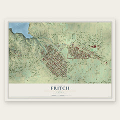
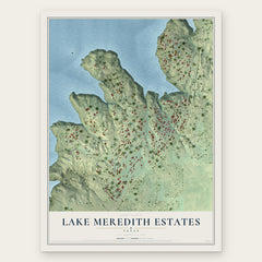
More maps nearby: Stinnett, Skellytown, White Deer, Panhandle and Pampa.
The art of mapping a place
How This Map Was Made
Real places. Remarkable detail. Discover the layers that turn geographic data into a map of home.

The view from above
Aerial imagery reveals the character of the land: woodland, open fields, and the patterns of a place.

The shape of the land
Elevation data brings hills, valleys, and subtle changes in the landscape into view.

The details of home
Roads, waterways, and building footprints come together to make the map feel unmistakably local.

Geography becomes art
Considered color, shading, and typography bring the layers together in a map made for your wall.


Process illustrated with Mendon, Massachusetts. Aerial imagery: USDA NAIP. Terrain: USGS 3D Elevation Program. Map details and finished artwork: KNOWOL.
The Details
About This Print
Choose an archival matte print, or a black or white Ayous wood frame. The archival matte print is unframed.
Select your size and finish above to see the matching product image and price.
Materials & Craftsmanship
A contemporary map with the character of a classic atlas, printed on archival matte paper. Optional frames are made from Ayous wood.
Your printed map does not include the watermark shown in the full-map preview.
Shipping & Delivery
Free shipping within the United States. Every print is made to order in the USA.
Buying a gift? Add a note in your cart and we'll include it. We never put prices in the package.
Prints ship within 2 to 3 business days. Allow 7 to 10 days total from ordering for delivery. Timing may vary during holidays or periods of high order volume.
Read our shipping policy.
Returns and damaged prints
Each print is made to order. Change-of-mind refunds are not available after production.
If your print arrives damaged, misprinted or incorrect, contact support@knowol.com within 30 days of receiving it. Include your order number, photos and a description of the issue.
Read our full refund and replacement policy. For questions about your order, email support@knowol.com.