
Search for another town


Free U.S. delivery 7 to 10 days after you order
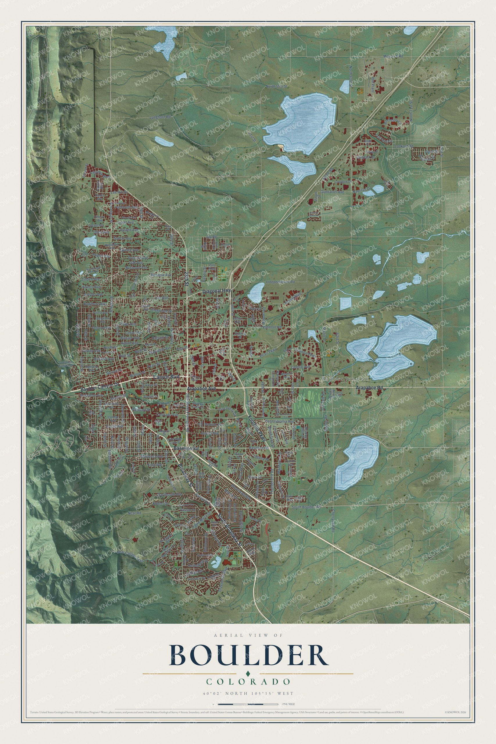
Boulder, Colorado Map Art
Building by building, with labeled streets and shaded relief.
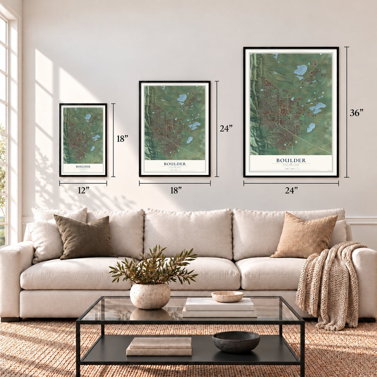
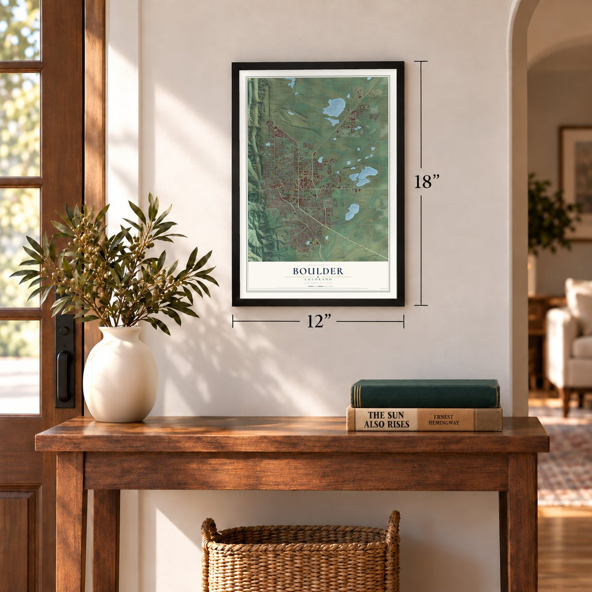
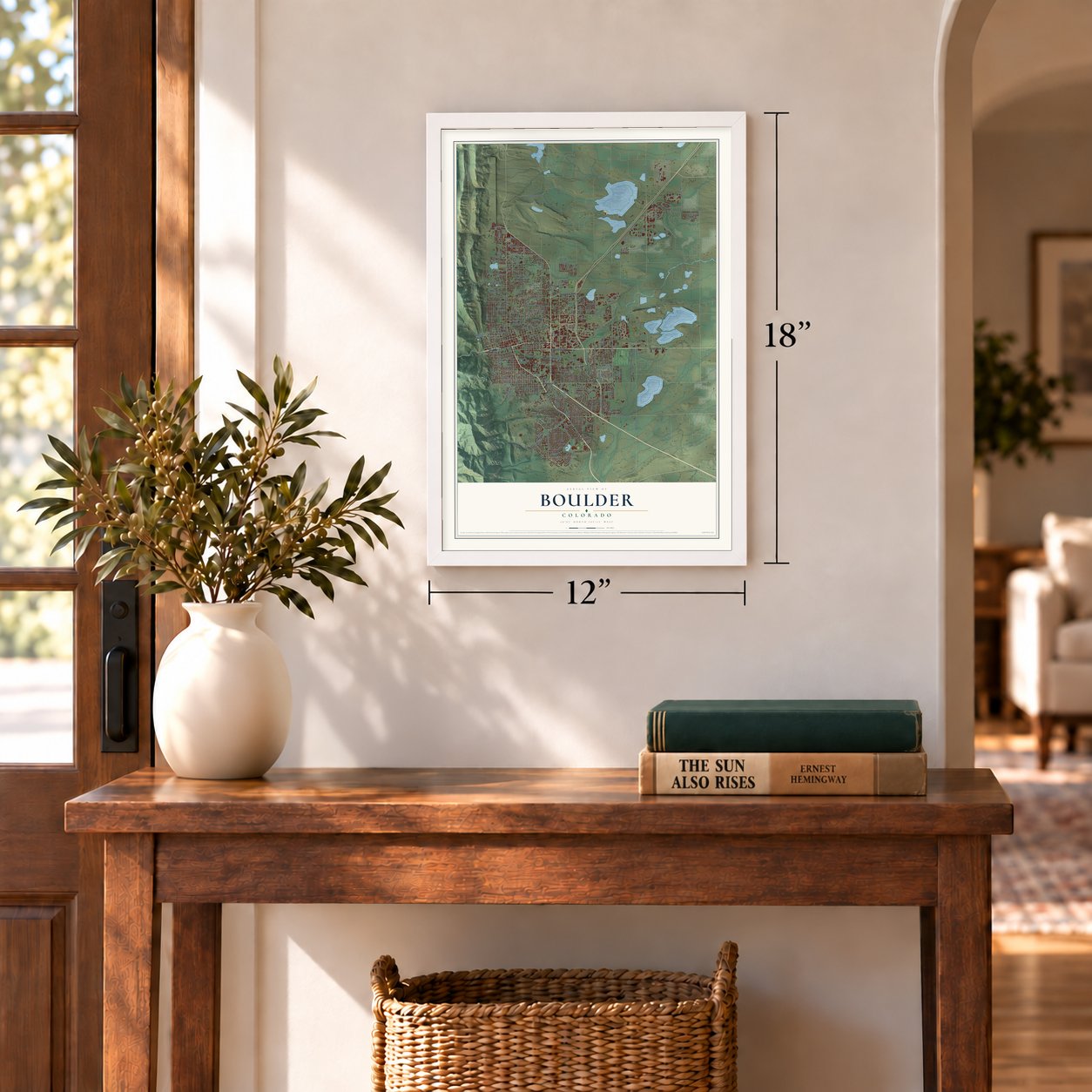
12" x 18" Archival Matte Print
A Map of Home. A Work of Art.
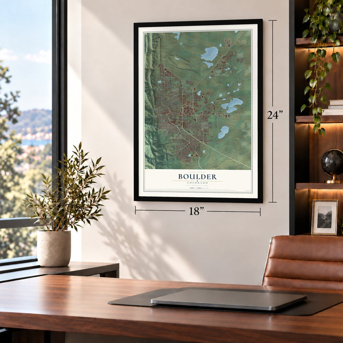
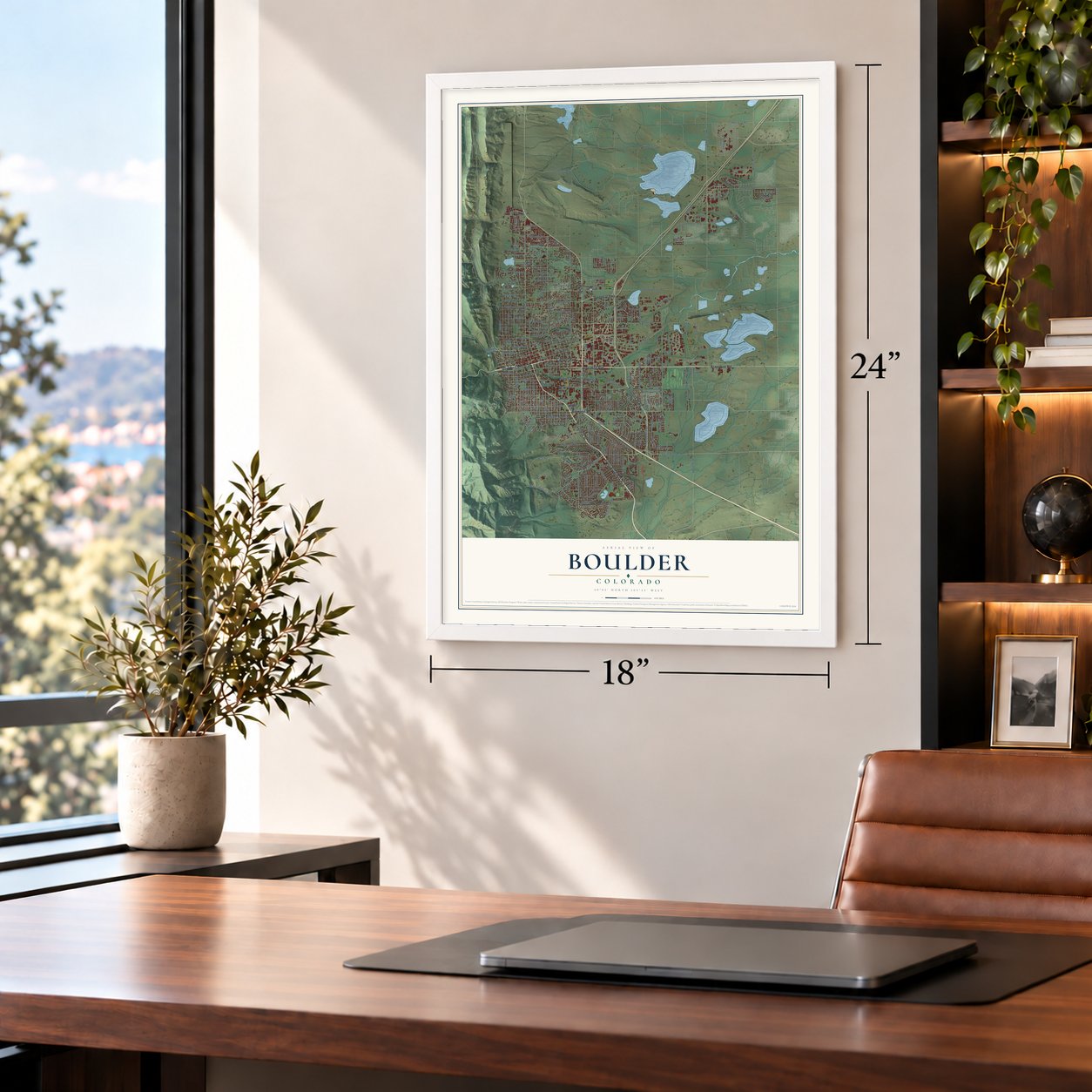
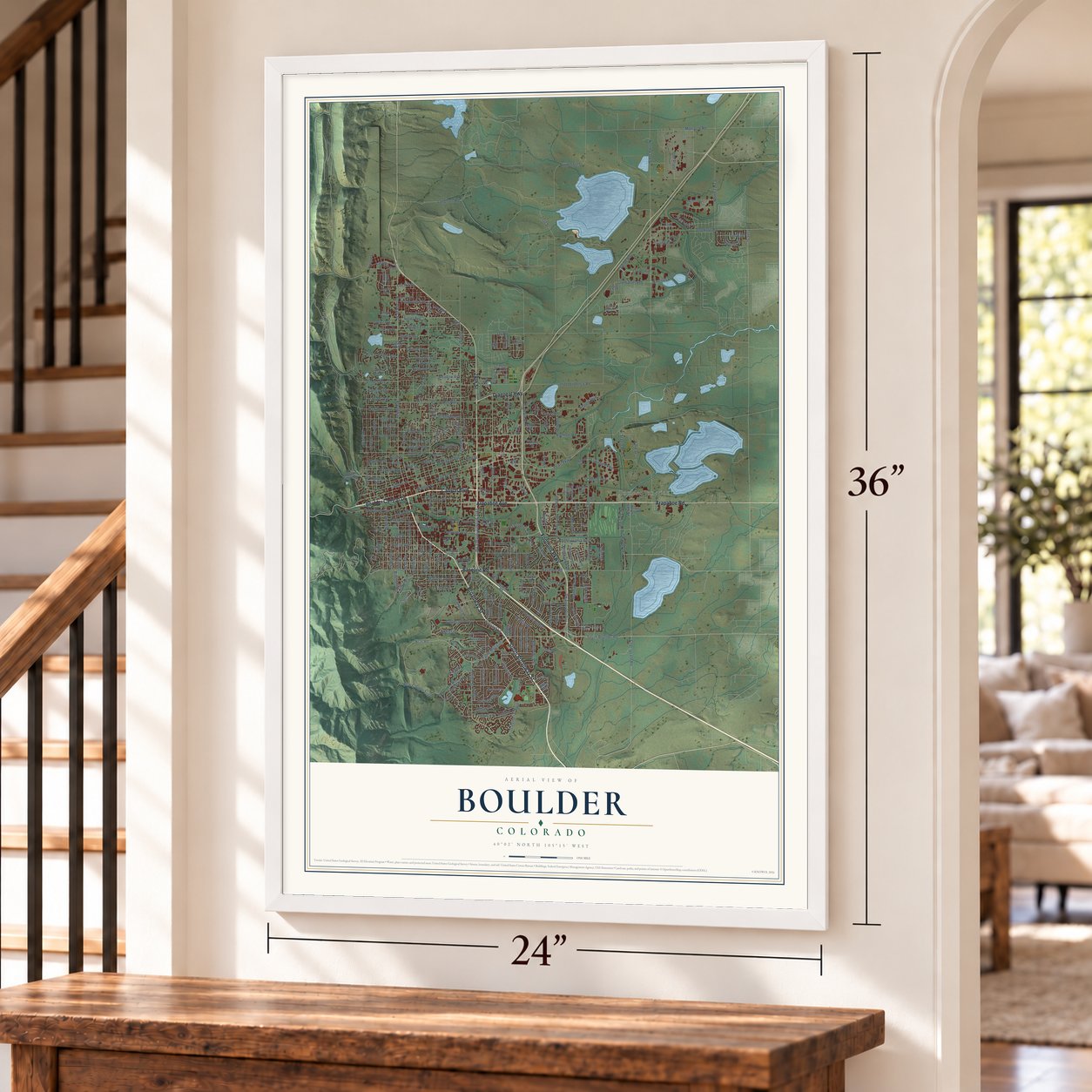
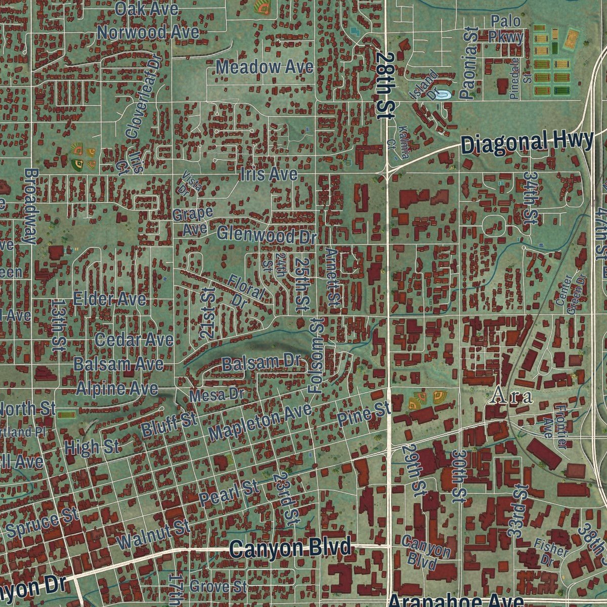
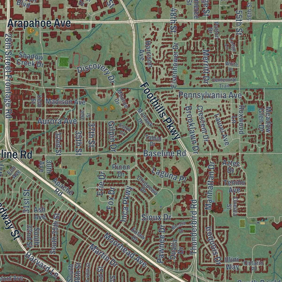
Explore Boulder, Colorado from a whole new perspective. Created using aerial imagery and detailed geographic data, this map captures Boulder building by building, with labeled streets, familiar landmarks, and shaded topographical relief that highlights the natural contours of the landscape.
Combining modern data with the timeless character of a vintage atlas, this map is just as interesting up close as it is beautiful on the wall. Whether you grew up in Boulder, spent memorable years there, or call it home today, this unique map is a great way to celebrate a place that means something to you. Zoom in on the preview to look for your street, and then order a print to put your memories on the wall.
Three ways to hang it
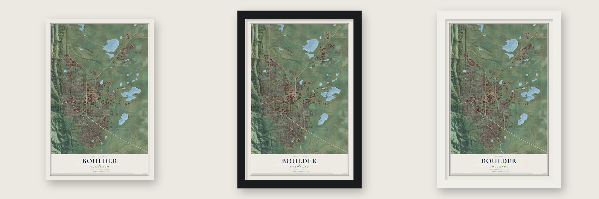
Unframed archival matte, a black wood frame or a white wood frame.
Up close
Geography Worth Displaying
This map was created using accurate cartographic data and authoritative geographic sources, including the U.S. Geological Survey and the Census Bureau. The map brings together terrain, waterways, roads, and building detail. The majority of the streets are labeled, houses are accurately depicted, and the topography is derived from government sources. Combining local data with carefully composed color and shading leads to this beautifully detailed Boulder artwork for your wall.
Rather than simply showing street outlines, we’ve included as many of the street names as we could reasonably fit on the map while keeping their names legible. Zoom in on the high resolution preview to see exactly what’s on the map. We truly set out to create a statement piece for anyone who loves Boulder. So whether it’s for you, or a gift for someone you love, we hope this map of Boulder brings back fond memories.
Read the story behind this map of Boulder, Colorado from 2026.
Find your street
Names on the Boulder map
Every name below is printed on this map. Look for your street, your school, the park where you played, or the pond down the road.
Places and landmarks3
- Ara
- Boulder Junction
- Chautauqua Park
Streets and roads280
- Broadway Street
- South Broadway Street
- 28th Street
- Boulder Canyon Drive
- Arapahoe Road
- Foothills Parkway
- Arapahoe Avenue
- Canyon Boulevard
- Diagonal Highway
- Baseline Road
- Eighth Street
- Cherryvale Road
- Gunbarrel Avenue
- Alpine Avenue
- Colorado Avenue
- 63rd Street
- Table Mesa Drive
- Balsam Drive
- 55th Street
- Marine Street
- 17th Street
- 13th Street
- 23rd Street
- Ncar Road
- 33rd Street
- Sioux Drive
- 38th Street
- Mariposa Avenue
- Augusta Drive
- Pearl Street
Show all 280 streets
- Ibm Plant
- Pearl Parkway
- 30th Street
- 19th Street
- Ninth Street
- Walnut Street
- Sixth Street
- 15th Street
- Valmont Road
- Kalmia Avenue
- 18th Street
- 14th Street
- Aurora Avenue
- Mapleton Avenue
- Iris Avenue
- Fifth Street
- Tenth Street
- 26th Street
- 16th Street
- Fourth Street
- Spine Road
- Folsom Street
- 47th Street
- Spruce Street
- Lookout Road
- Eleventh Street
- Seventh Street
- Pine Street
- 20th Street
- Moorhead Avenue
- 29th Street
- Gillaspie Drive
- Inca Parkway
- 22nd Street
- Linden Avenue
- Lehigh Street
- Pennsylvania Avenue
- Ithaca Drive
- South Boulder Road
- 21st Street
- Greenbriar Boulevard
- Central Avenue
- Hawthorn Avenue
- Euclid Avenue
- Lee Hill Drive
- Martin Drive
- 34th Street
- Norwood Avenue
- Glenwood Drive
- Bear Canyon Trail
- Pleasant Street
- Dartmouth Avenue
- Broadway
- Manhattan Drive
- Violet Avenue
- Monarch Road
- Poplar Avenue
- Bluff Street
- Cedar Avenue
- North 71st Street
- Balsam Avenue
- 28th Street Frontage Road
- Juniper Avenue
- Airport Road
- North Street
- Independence Road
- Third Street
- Discovery Drive
- 51st Street
- Upland Avenue
- Kohler Drive
- Longhorn Road
- Twelfth Street
- Quince Avenue
- Sumac Avenue
- Jay Road
- 31st Street
- Thunderbird Road
- Pawnee Drive
- Vail Circle
- 25th Street
- Maxwell Avenue
- Vassar Drive
- Gapter Road
- Airport Boulevard
- Gunpark Drive
- North 55st Street
- Meadow Avenue
- Orchard Avenue
- Yarmouth Avenue
- Stazio Drive
- Utica Avenue
- North 63rd Street
- Old Tale Road
- 35th Street
- Elder Avenue
- Oak Avenue
- Juilliard Street
- Heidelberg Drive
- Brooklawn Drive
- Harvard Lane
- King Avenue
- Nautilus Drive
- Gilpin Drive
- Merritt Drive
- Doral Drive
- South 46th Street
- Flatiron Parkway
- Laguna Place
- Iroquois Drive
- 48th Street
- Laramie Boulevard
- 37th Street
- Dewey Avenue
- Bluebell Road
- Edinboro Drive
- High Street
- Erie Drive
- Range Street
- Fox Drive
- Taft Drive
- Paonia Street
- 49th Street
- 75th Street
- North 60th Street
- Regent Drive
- Kittredge Loop Drive
- Zinger Street
- Dakota Boulevard
- Longbow Drive
- Zamia Avenue
- Wildwood Road
- College Avenue
- Grape Avenue
- University Avenue
- Forest Avenue
- Apache Road
- Bear Mountain Drive
- Winchester Circle
- Dellwood Avenue
- Compton Road
- Evergreen Avenue
- 32nd Street
- Eisenhower Drive
- Grove Street
- Redwood Avenue
- South 42nd Street
- Left Hand Circle
- Harrison Avenue
- Blueberry Circle
- Laurel Avenue
- South 38th Street
- Cloverleaf Drive
- Tantra Drive
- Sunshine Canyon Drive
- Meadow Glen Drive
- Sterling Drive
- Ash Avenue
- Western Avenue
- South 35th Street
- Lafayette Drive
- Endicott Drive
- South 44th Street
- Crescent Drive
- Floral Drive
- Aikins Way
- Madison Avenue
- Palo Parkway
- Roxwood Lane
- Commerce Street
- Stadium Drive
- Qualla Drive
- Aztec Drive
- Illini Way
- Highland Avenue
- Tenino Avenue
- Cherry Avenue
- 27th Way
- Arnett Street
- Locust Avenue
- Mesa Drive
- South 32nd Street
- Kendall Drive
- Pinon Drive
- Baylor Drive
- Second Street
- Edison Avenue
- Athens Street
- Nevis Street
- Gilbert Street
- Noble Court
- Shadow Creek Drive
- 30th Avenue
- Finley Place
- Knox Drive
- Odell Place
- Jay Street
- Iris Court
- Vine Place
- Baker Drive
- Bellevue Drive
- Mohawk Drive
- Avocado Road
- Wonderland Hill Avenue
- Stanford Avenue
- 24th Street
- Chippewa Drive
- Longwood Avenue
- Patton Drive
- Sentinel Drive
- Stephens Road
- Portland Place
- Talbot Drive
- Stony Hill Road
- Monroe Drive
- Oneida Street
- Frontier Avenue
- Eutaw Drive
- 56th Street
- Island Drive
- Fisher Drive
- Saint Lucia Street
- Ontario Place
- Oreg Avenue
- Flatiron Lane
- Elm Avenue
- Nassau Place
- Armer Avenue
- Kent Street
- Lodge Lane
- Orchard Creek Lane
- Chautauqua Reservoir Road
- South 40th Street
- Ludlow Street
- Kalmia Court
- 36th Street
- Yaupon Avenue
- Twin Lakes Road
- Ricara Drive
- Hillsdale Circle
- Centennial Trail
- Vista Drive
- Circle Drive
- Center Green Drive
- Colby Drive
- Mitchell Lane
- Pinedale Street
- Quail Circle
- White Place
- Eaton Court
Names are listed as they appear on the printed map. Zoom into the product photos to find them.
About Boulder, Colorado
Boulder is a city of 108,250 people and the seat of Boulder County, set where the foothills of the Rockies meet the plains. Prospectors led by Thomas Aikins reached the mouth of Boulder Canyon late in 1858, during the Colorado Gold Rush. When gold turned up along Boulder Creek early the next year, miners and merchants followed them. The Boulder City Town Company organized in February 1859, a post office opened on April 22, 1859, and by 1862 the creek had produced $100,000 in gold for a town of more than 300 people.
Colorado lawmakers picked Boulder for the state university on November 7, 1861, the same month Boulder County was created with Boulder City as its seat. The town incorporated on November 4, 1871, and workers laid the cornerstone of Old Main, the campus's first building, on September 20, 1875. Colorado became a state the following August, and the University of Colorado opened its doors on September 5, 1877. In time Boulder City dropped the second word of its name.
- The Blue Line of 1959Protecting the mountains west of town began in 1899, when Congress set aside 1,800 acres of watershed and backdrop between South Boulder Creek and Sunshine Canyon. In 1959 voters wrote the Blue Line into the city charter, refusing city water above 5,750 feet so the slopes would stay open.
- The Bolder Boulder since 1979Every Memorial Day since 1979, Boulder has run the Bolder Boulder, a 10 km road race that draws more than 50,000 runners, walkers and wheelchair racers and finishes inside Folsom Field with a tribute for the holiday. In 2007 it had over 54,000 entrants, which made it the biggest race in the country to time every participant.
- Summer music at ChautauquaGiora Bernstein founded the Colorado Music Festival in 1976, and its summer concert series plays in the Chautauqua Auditorium, which joined the National Register in 1974.
- Named for Boulder CreekBoulder Creek already had its name before anyone founded the city, and no one knows where that name came from, though the city most likely took its own from the creek. Fed mostly by melting snow, the creek runs through the middle of town and joins St. Vrain Creek east of Longmont, on its way to the South Platte.
Keep exploring Colorado
Boulder is one of 550 Colorado towns we've mapped. Every dot on the map is a print of its own.
The search covers every state, Colorado first.
Near Boulder
Order 2 or more town maps and save 10%. Shown in the size and finish you picked above, so they hang as a set.
- Valmont 12" x 18" / Archival Matte Print $39.99
- Pine Brook Hill 12" x 18" / Archival Matte Print $39.99
- Seven Hills 12" x 18" / Archival Matte Print $39.99
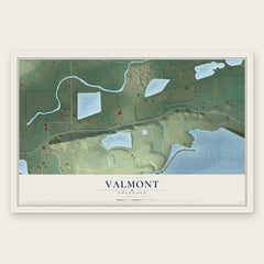
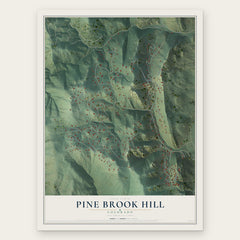
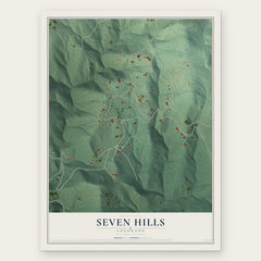
More maps nearby: Paragon Estates, Gunbarrel, Tall Timber, Eldorado Springs and Lazy Acres.
The art of mapping a place
How This Map Was Made
Real places. Remarkable detail. Discover the layers that turn geographic data into a map of home.

The view from above
Aerial imagery reveals the character of the land: woodland, open fields, and the patterns of a place.

The shape of the land
Elevation data brings hills, valleys, and subtle changes in the landscape into view.

The details of home
Roads, waterways, and building footprints come together to make the map feel unmistakably local.

Geography becomes art
Considered color, shading, and typography bring the layers together in a map made for your wall.


Process illustrated with Mendon, Massachusetts. Aerial imagery: USDA NAIP. Terrain: USGS 3D Elevation Program. Map details and finished artwork: KNOWOL.
The Details
About This Print
Choose an archival matte print, or a black or white Ayous wood frame. The archival matte print is unframed.
Select your size and finish above to see the matching product image and price.
Materials & Craftsmanship
A contemporary map with the character of a classic atlas, printed on archival matte paper. Optional frames are made from Ayous wood.
Your printed map does not include the watermark shown in the full-map preview.
Shipping & Delivery
Free shipping within the United States. Every print is made to order in the USA.
Buying a gift? Add a note in your cart and we'll include it. We never put prices in the package.
Prints ship within 2 to 3 business days. Allow 7 to 10 days total from ordering for delivery. Timing may vary during holidays or periods of high order volume.
Read our shipping policy.
Returns and damaged prints
Each print is made to order. Change-of-mind refunds are not available after production.
If your print arrives damaged, misprinted or incorrect, contact support@knowol.com within 30 days of receiving it. Include your order number, photos and a description of the issue.
Read our full refund and replacement policy. For questions about your order, email support@knowol.com.