
Search for another town


Free U.S. delivery 7 to 10 days after you order
Brookings, South Dakota Map Art
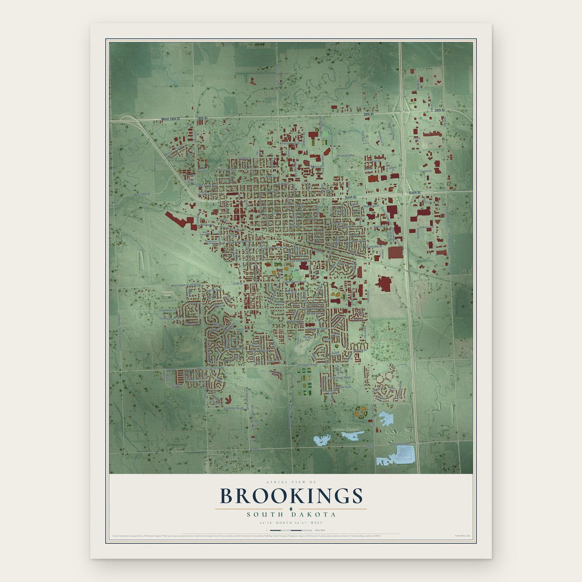
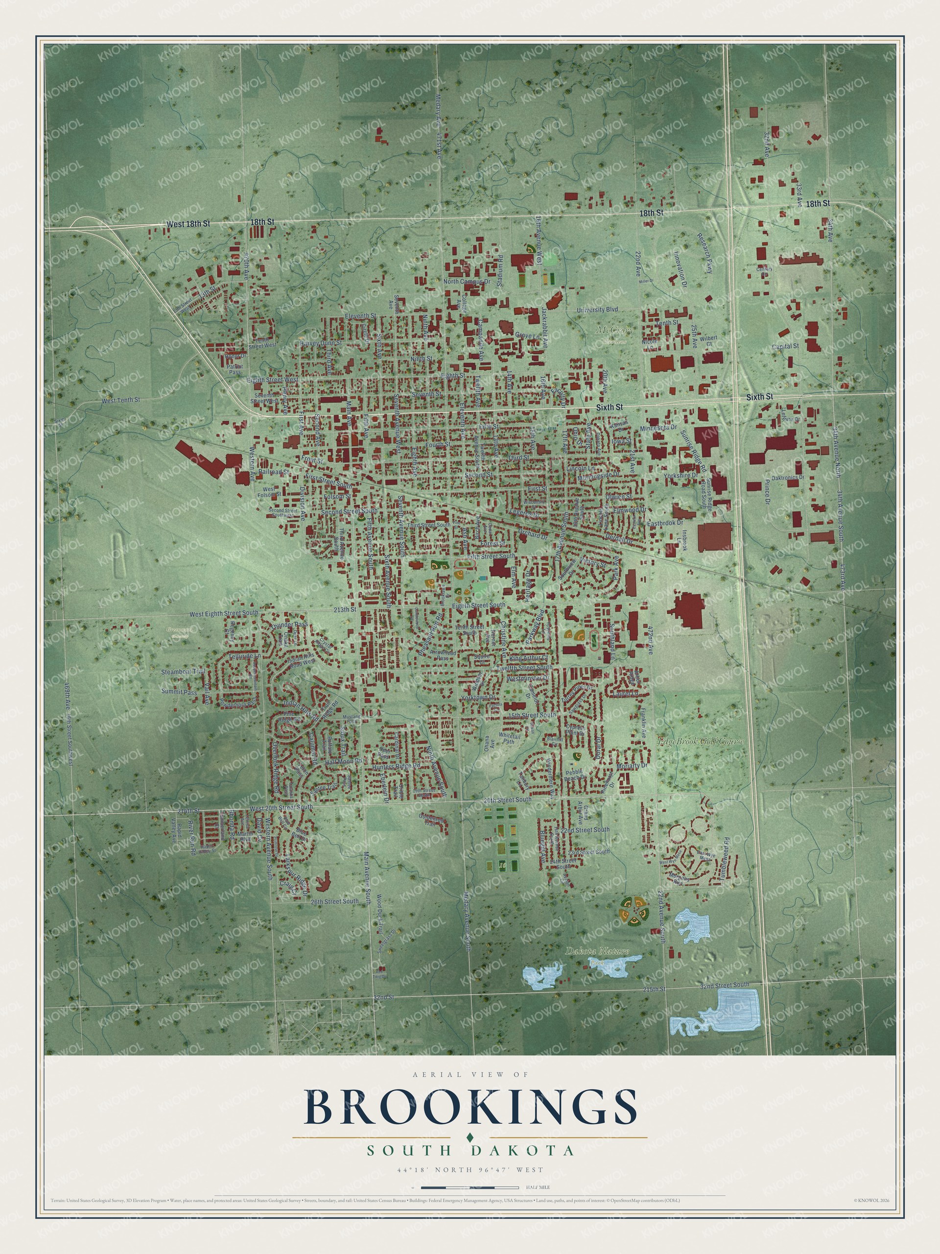
A new map of Brookings, South Dakota, made in 2026 and printed to order on thick archival matte paper.
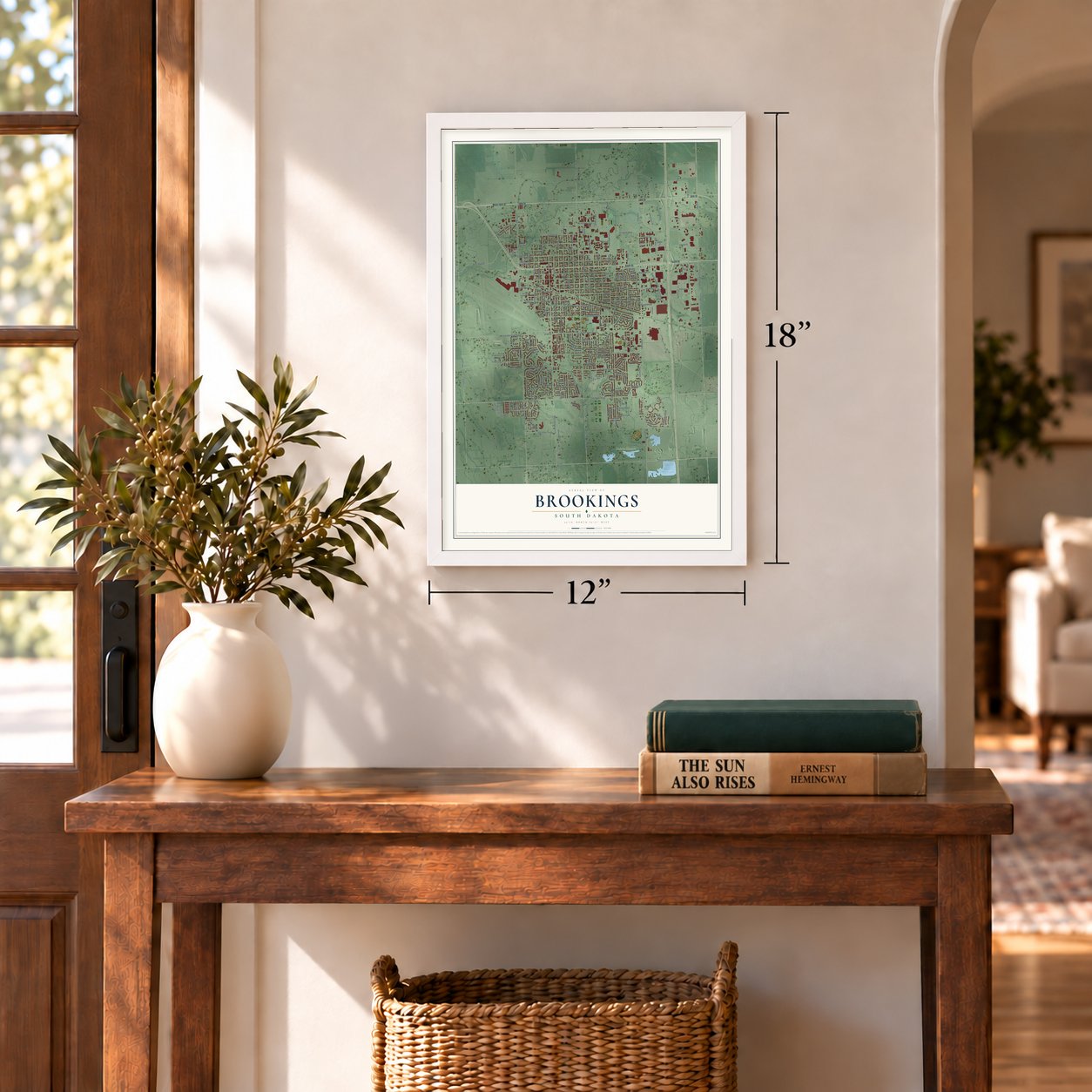
12" x 18" Archival Matte Print
A Map of Home. A Work of Art.
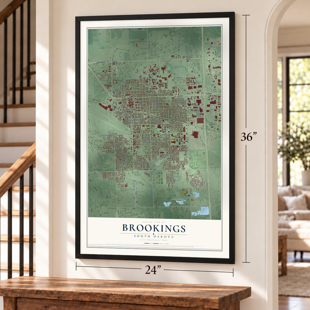
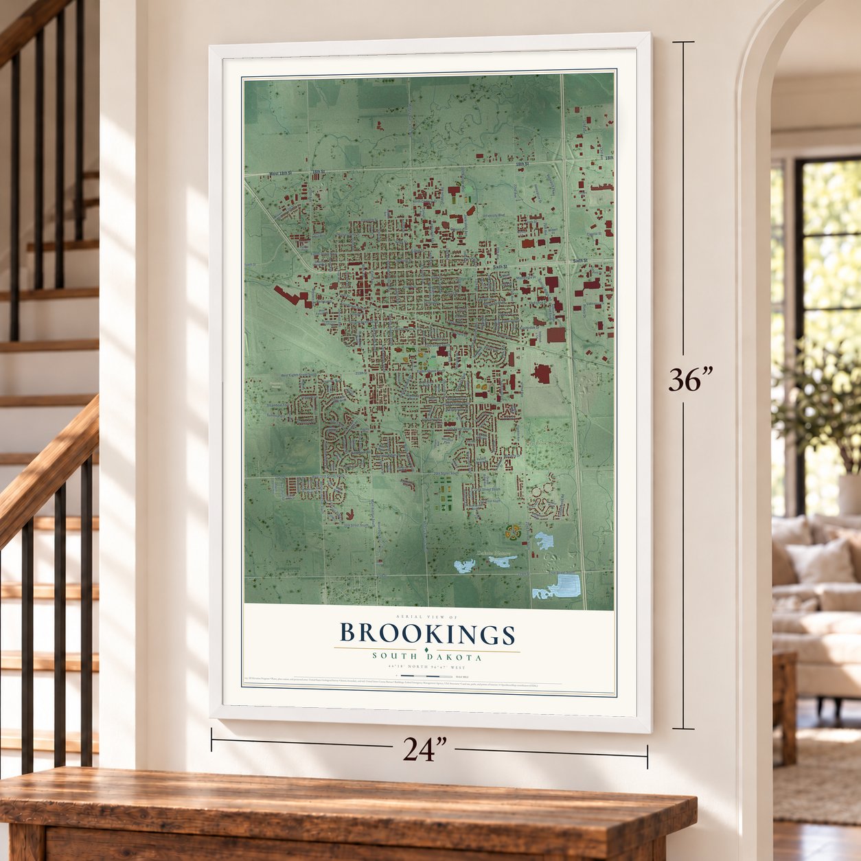
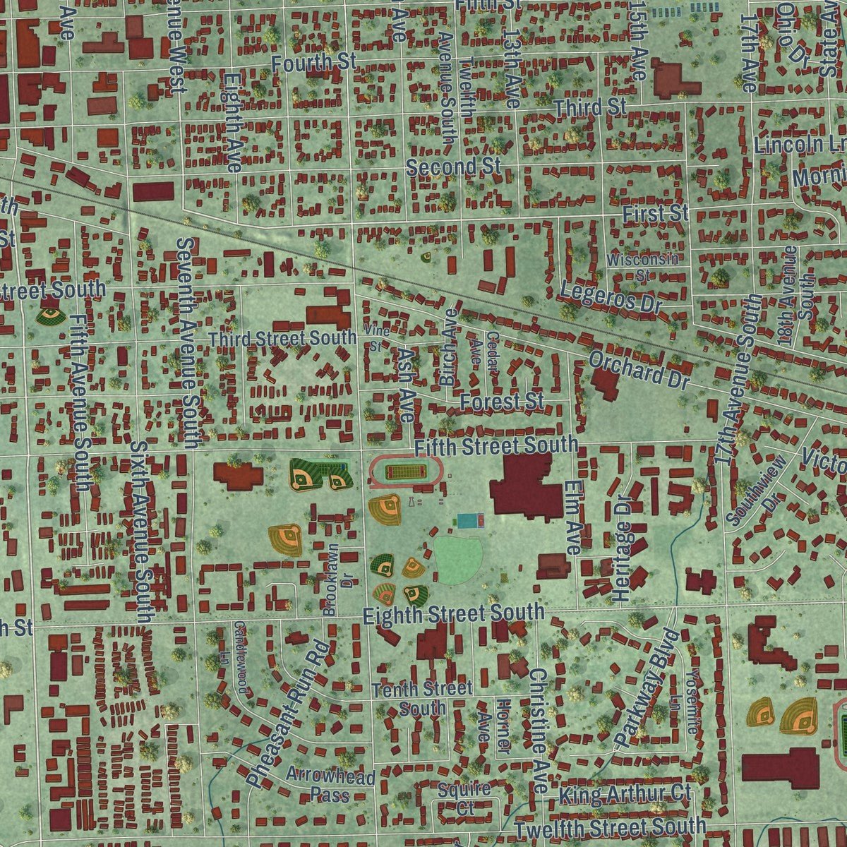
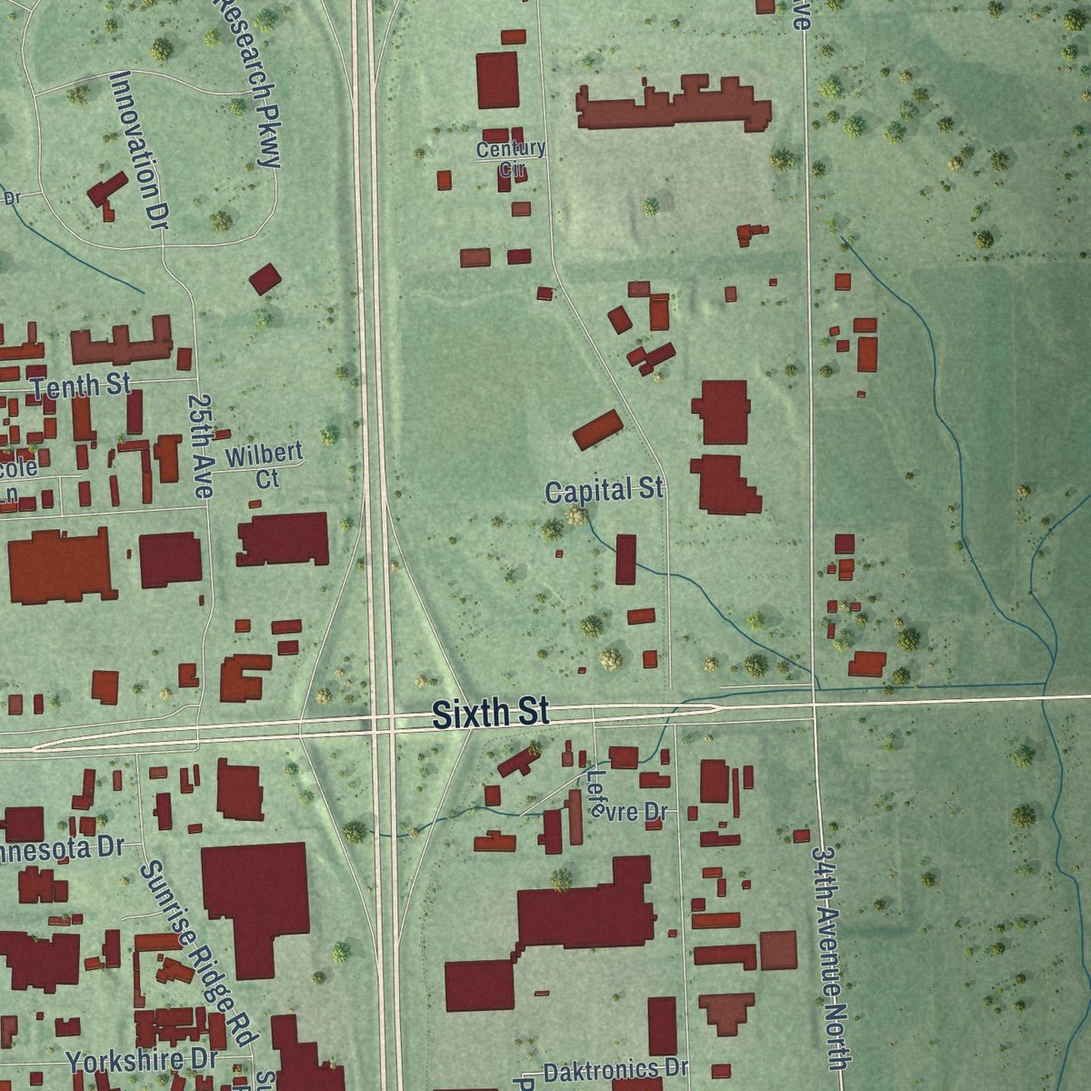
Explore Brookings, South Dakota from a whole new perspective. Created using aerial imagery and detailed geographic data, this map captures Brookings building by building, with labeled streets, familiar landmarks, and shaded topographical relief that highlights the natural contours of the landscape.
Combining modern data with the timeless character of a vintage atlas, this map is just as interesting up close as it is beautiful on the wall. Whether you grew up in Brookings, spent memorable years there, or call it home today, this unique map is a great way to celebrate a place that means something to you. Zoom in on the preview to look for your street, and then order a print to put your memories on the wall.
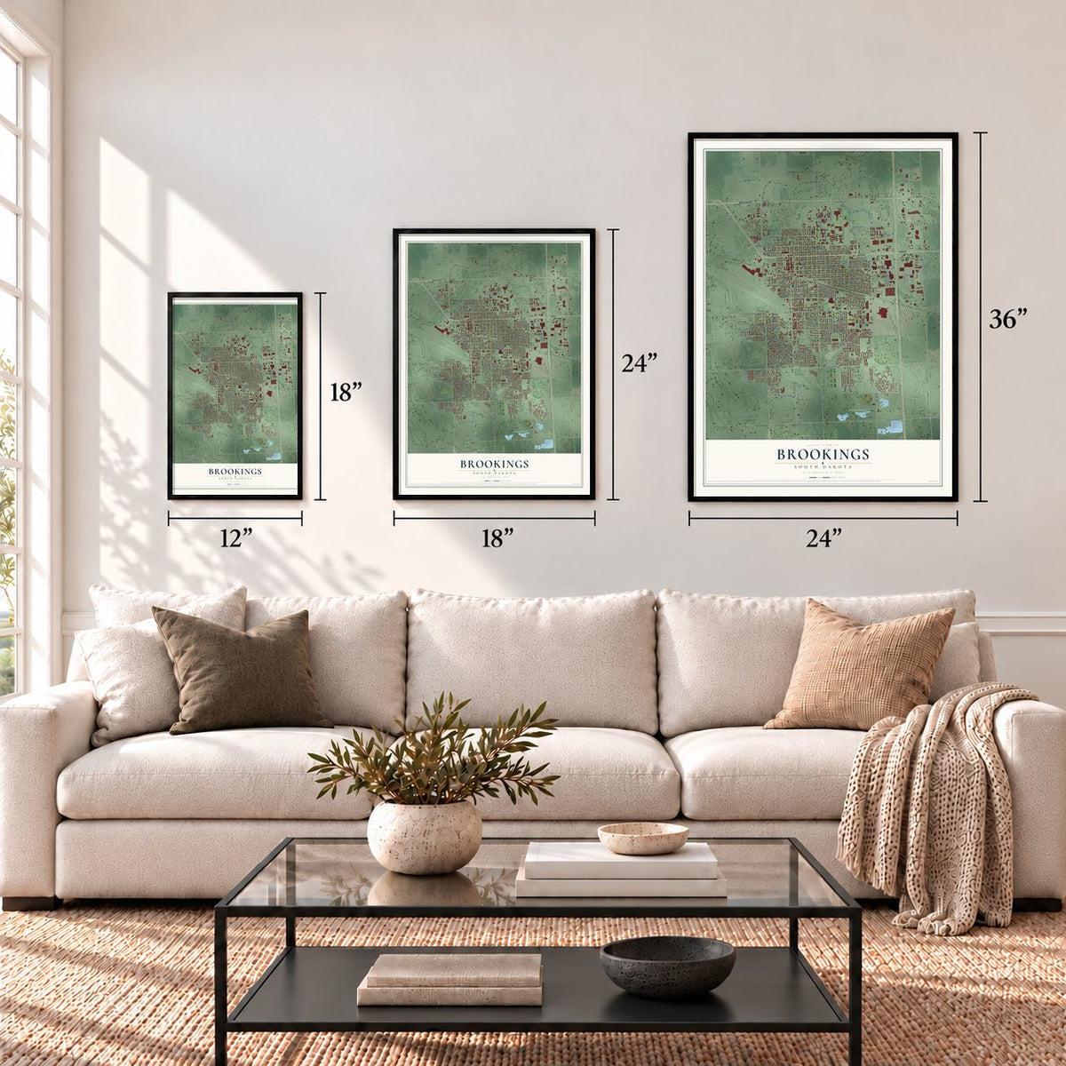
Three ways to hang it
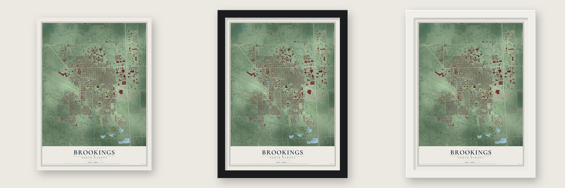
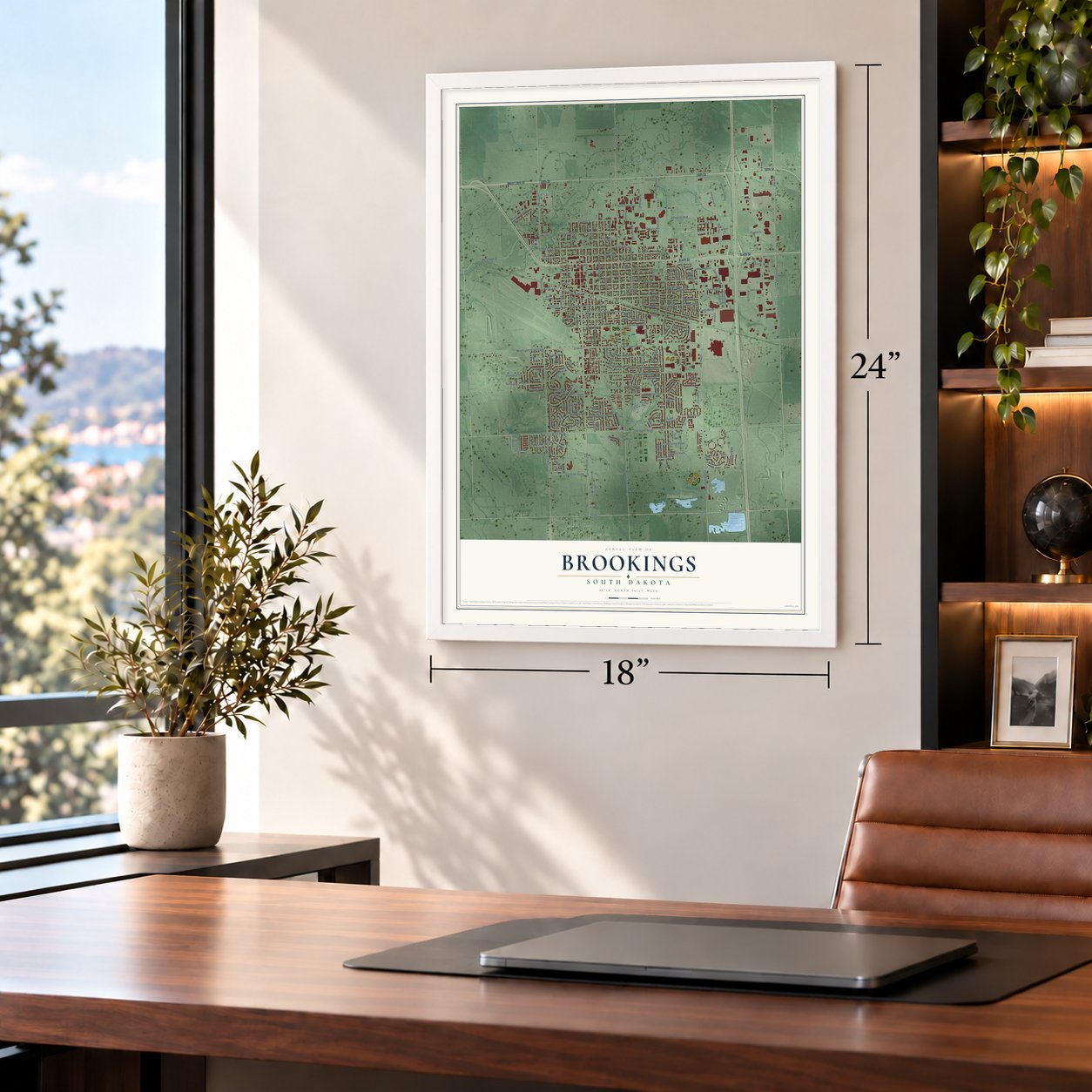
Unframed archival matte, a black wood frame or a white wood frame.
Up close
Geography Worth Displaying
This map was created using accurate cartographic data and authoritative geographic sources, including the U.S. Geological Survey and the Census Bureau. The map brings together terrain, waterways, roads, and building detail. The majority of the streets are labeled, houses are accurately depicted, and the topography is derived from government sources. Combining local data with carefully composed color and shading leads to this beautifully detailed Brookings artwork for your wall.
Rather than simply showing street outlines, we’ve included as many of the street names as we could reasonably fit on the map while keeping their names legible. Zoom in on the high resolution preview to see exactly what’s on the map. We truly set out to create a statement piece for anyone who loves Brookings. So whether it’s for you, or a gift for someone you love, we hope this map of Brookings brings back fond memories.
Read the story behind this map of Brookings, South Dakota from 2026.
About Brookings, South Dakota
Brookings is a city of 23,377 people and the county seat of Brookings County. Three small settlements nearby, Medary, Fountain and Oakwood, each hoped the railroad heading west would pass through it. When the line's plans skipped them all, merchants from Medary and Fountain held private meetings and pushed for a central site instead.
Their effort worked. In a letter of September 30, 1879, Land Commissioner Charles E. Simmons named Aurora, Brookings and Volga as the county's railroad towns, and the Brookings townsite was laid out after a survey on October 3 and 4. Crews laying about a mile of track a day brought the first train to Main Street on October 18, 1879, and the station opened a month after that. Many merchants moved their stores to the new town, and Fountain disappeared.
- Named for Wilmot BrookingsWilmot Brookings, working for the Western Town Company, reached Sioux Falls on August 27, 1857, as one of its first settlers. In January 1858 a blizzard caught him on the way to the Yankton area and froze his feet, and both had to be amputated. He later served as Squatter Governor. As superintendent of a road west from the Minnesota line, he opened this land to settlers, and the county and city carry his name.
- Medary, the town beforeThe Dakota Land Company of Minnesota started Medary in 1857, making it one of the first three European settlements in South Dakota. Native Americans drove its settlers away in the spring of 1858. In 1869, 10 Norwegian pioneers settled the site again, about four and a half miles south of today's Brookings, and the county was organized in Martin Trygstad's cabin there on July 3, 1871. The railroad passed Medary by, and a monument now marks the spot.
- A college since 1883Brookings got the State College of Agriculture and Mechanic Arts in 1883. Today the city is home to South Dakota State University, the largest college in the state, which enrolled 12,065 students in the fall of 2024.
Find your street
Names on the Brookings map
Every name below is printed on this map. Look for your street, your school, the park where you played, or the pond down the road.
Places and landmarks4
- Dakota Nature Park
- Greenwood Cemetery
- McCrory Gardens
- EdgeBrook Golf Course
Streets and roads234
- West 18th Street
- Sixth Street
- 18th Street
- 20th Street South
- 32nd Street
- Main Avenue South
- 214th Street
- West 20th Street South
- Tumbleweed Road
- 473rd Avenue
- Indian Hills Road
- 34th Avenue
- First Street
- Seventh Avenue West
- 34th Avenue South
- 34th Avenue North
- 32nd Street South
- 16th Avenue West
- Eighth Street West
- Eighth Street
- Prince Drive
- Doral Drive
- Fifth Avenue South
- Division Avenue
- 17th Avenue
- Medary Avenue South
- West Eighth Street South
- West Tenth Street
- 471st Avenue
- 22nd Avenue South
Show all 234 streets
- 472nd Avenue
- 32nd Avenue
- Medary Avenue
- 470th Avenue
- 17th Avenue South
- Eighth Street South
- 22nd Avenue
- Western Avenue
- Third Street
- Twelfth Street South
- Western Avenue South
- Fifth Street South
- 213th Street
- Seventh Avenue South
- Seventh Street
- Fifth Street
- Fourth Street
- Research Parkway
- Eleventh Street
- Orchard Drive
- Christine Avenue
- 15th Street South
- Jackrabbit Avenue
- 469th Avenue
- Ninth Avenue
- Eighth Avenue
- Ninth Street
- Second Street
- Sixth Avenue
- Harvey Dunn Street
- 16th Avenue
- Second Street South
- 25th Avenue
- 215th Street
- 13th Street
- 20th Avenue
- 13th Avenue
- Main Avenue
- Eleventh Avenue
- First Avenue
- Sixth Avenue South
- Pheasant Run Road
- Third Avenue
- Derdall Drive
- Moriarty Drive
- Campanile Avenue
- Parkway Boulevard
- Larkspur Ridge Drive
- Stadium Road
- Summit Pass
- North Campus Drive
- Second Avenue
- Elmwood Drive
- Olwien Street
- 14th Avenue
- 26th Street South
- Fifth Avenue
- University Boulevard
- Half Moon Road
- First Street South
- Front Street
- Overlook Ridge Road
- Sunrise Ridge Road
- Park Avenue
- Elm Avenue
- Telluride Lane
- Hunters Ridge Road
- Laurel Lane
- 22nd Street South
- Southland Lane
- Forest Street
- 21st Avenue
- Eastbrook Drive
- Yorkshire Drive
- Bluegill Avenue
- Morningside Drive
- Ninth Avenue South
- Innovation Drive
- Lincoln Lane
- King Arthur Court
- Tenth Street
- State Avenue
- Twelfth Avenue
- River Run Road
- Railroad Street
- Heritage Drive
- Victory Street
- Folsom Street
- Minnesota Drive
- Steamboat Trail
- Faculty Drive
- Westminster Drive
- Yorktown Drive
- Thunder Pass
- Sioux Trail
- Legeros Drive
- Rhonda Road
- Eberlein Drive
- Calumet Road
- Henry Avenue
- Grove Lane
- Vail Avenue
- 33rd Avenue
- David Cv
- 15th Avenue
- Ash Avenue
- Capital Street
- Ohio Drive
- Craig Court
- Iowa Street
- Seventh Avenue
- Indian Hills Road West
- Trail Ridge Road
- Third Street South
- 16th Street Southwest
- Regency Court
- Windermere Way
- Third Avenue South
- Twelfth Avenue South
- Lefevre Drive
- Santee Trail
- Tenth Street West
- Arrowhead Pass
- Powderhorn Pass
- Pine Ridge Road
- Goldenrod Trail
- Seventh Street West
- Circle Drive
- Lincoln Lane South
- Tenth Street South
- Wood Duck Trail
- Pinehurst Drive
- Southview Drive
- 23rd Street South
- Sunrise Ridge Road South
- Rapid Valley Avenue
- Torrey Pines Drive
- Morgans Run
- Camelot Drive
- Oriole Trail
- Whitetail Path
- Daktronics Drive
- Martin Boulevard
- Onaka Trail
- Cardinal Drive
- Nicole Lane
- Pebble Beach Drive
- Franklin Avenue
- Cumberland Court
- Ohana Avenue
- 24th Street South
- Grand Arbor Avenue
- Arbor Ridge
- College Avenue
- 18th Avenue South
- Windsor Drive
- Birch Avenue
- Insbrook Lane
- Buffalo Trail
- Tanbury Lane
- West Folsom Street
- Patriot Pass
- Honor Drive
- Squire Court
- Blue Bell Drive
- Cypress Point Drive
- Wilbert Court
- Kansas Drive
- Deer Pass
- Horner Avenue
- Teton Pass
- 16th Avenue South
- 13th Street West
- East Wye Mesa
- Yosemite Lane
- Sweetgrass Drive
- Second Street Southwest
- Rapid Valley Street
- Mustang Pass
- Sawgrass Drive
- 19th Street South
- Dakota Avenue
- Brooklawn Drive
- Santee Pass
- Teresa Avenue
- Crystal Ridge Circle
- Wisconsin Street
- Avalon Circle
- Deer Lane
- Cedar Avenue
- Blue Bell Circle
- Tatanka Pass
- Century Circle
- Blairhill Circle
- Primrose Drive
- West Wye Mesa
- Candlewood Lane
- Coppermountain Road
- Vine Street
- Pactola Cv
- Eastern Avenue
- Sylvan Circle
- Miller Drive
- Red Twig Drive
Names are listed as they appear on the printed map. Zoom into the product photos to find them.
The art of mapping a place
How This Map Was Made
Real places. Remarkable detail. Discover the layers that turn geographic data into a map of home.

The view from above
Aerial imagery reveals the character of the land: woodland, open fields, and the patterns of a place.

The shape of the land
Elevation data brings hills, valleys, and subtle changes in the landscape into view.

The details of home
Roads, waterways, and building footprints come together to make the map feel unmistakably local.

Geography becomes art
Considered color, shading, and typography bring the layers together in a map made for your wall.


Process illustrated with Mendon, Massachusetts. Aerial imagery: USDA NAIP. Terrain: USGS 3D Elevation Program. Map details and finished artwork: KNOWOL.
The Details
About This Print
Choose an archival matte print, or a black or white Ayous wood frame. The archival matte print is unframed.
Select your size and finish above to see the matching product image and price.
Materials & Craftsmanship
A contemporary map with the character of a classic atlas, printed on archival matte paper. Optional frames are made from Ayous wood.
Your printed map does not include the watermark shown in the full-map preview.
Shipping & Delivery
Free shipping within the United States. Every print is made to order in the USA.
Buying a gift? Add a note in your cart and we'll include it. We never put prices in the package.
Prints ship within 2 to 3 business days. Allow 7 to 10 days total from ordering for delivery. Timing may vary during holidays or periods of high order volume.
Read our shipping policy.
Returns and damaged prints
Each print is made to order. Change-of-mind refunds are not available after production.
If your print arrives damaged, misprinted or incorrect, contact support@knowol.com within 30 days of receiving it. Include your order number, photos and a description of the issue.
Read our full refund and replacement policy. For questions about your order, email support@knowol.com.
Find your town
Looking for another city?
Find a map of home in our South Dakota collection, or any town in the country.
Nearby
Maps of towns near Brookings
Know someone from one of these towns? Their map makes a great gift.
 Aurora
, South Dakota
From $39.99See the map
 Volga
Volga, South Dakota
From $39.99See the map
 Bushnell
, South Dakota
From $39.99See the map
More maps nearby: Rolland Colony, Bruce, White, Newdale Colony and Sinai.