
Search for another town





Free U.S. delivery 7 to 10 days after you order
Bryan, Texas Map Art
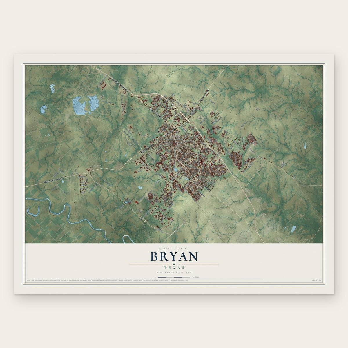
A new map of Bryan, Texas, made in 2026 and printed to order on thick archival matte paper.
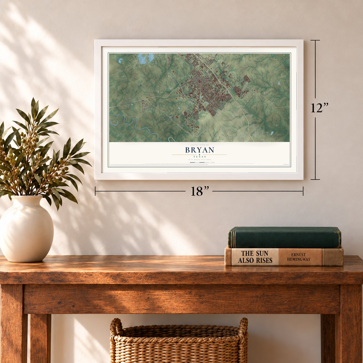
12" x 18" Archival Matte Print
A Map of Home. A Work of Art.
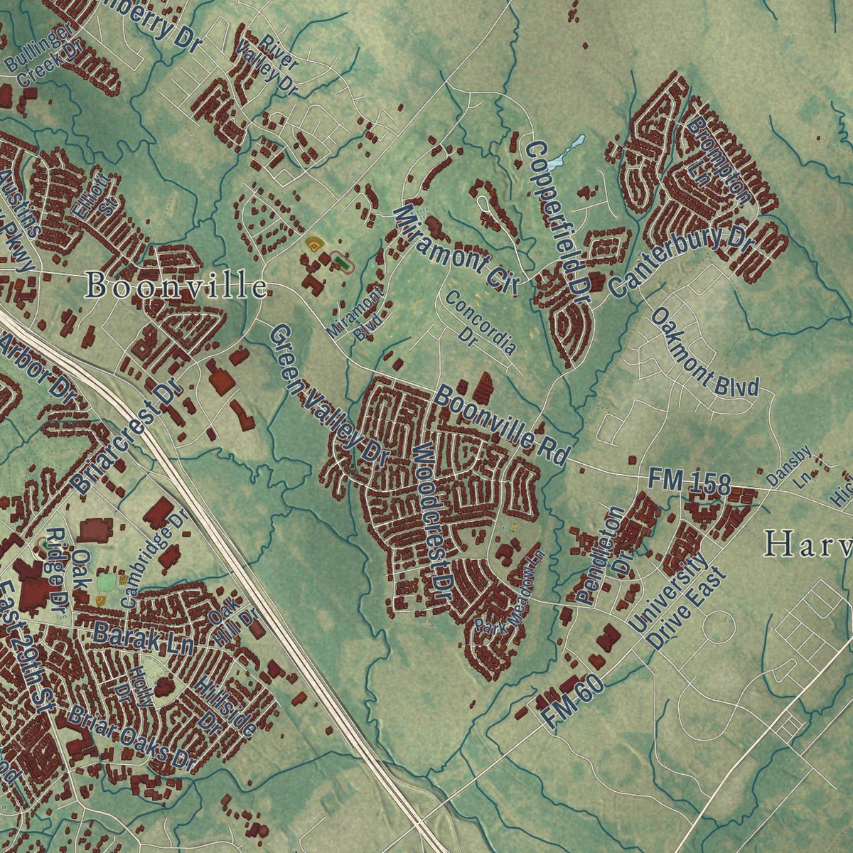
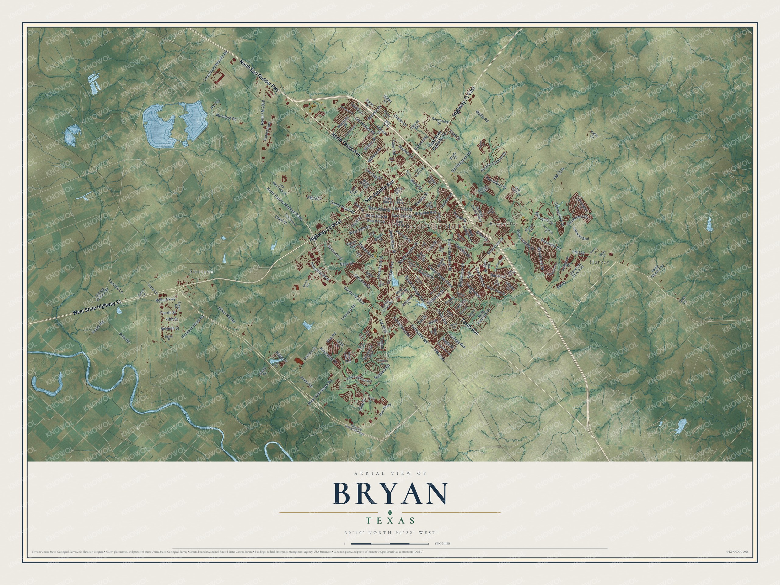
This beautifully detailed map of Bryan, Texas was created in 2026 using aerial imagery combined with modern topographical, census, street and landmark data. It's a modern aerial view of Bryan in Brazos County, Texas, that combines modern data with a vintage aesthetic. Zoom in on the preview and look for your block.
Three ways to hang it
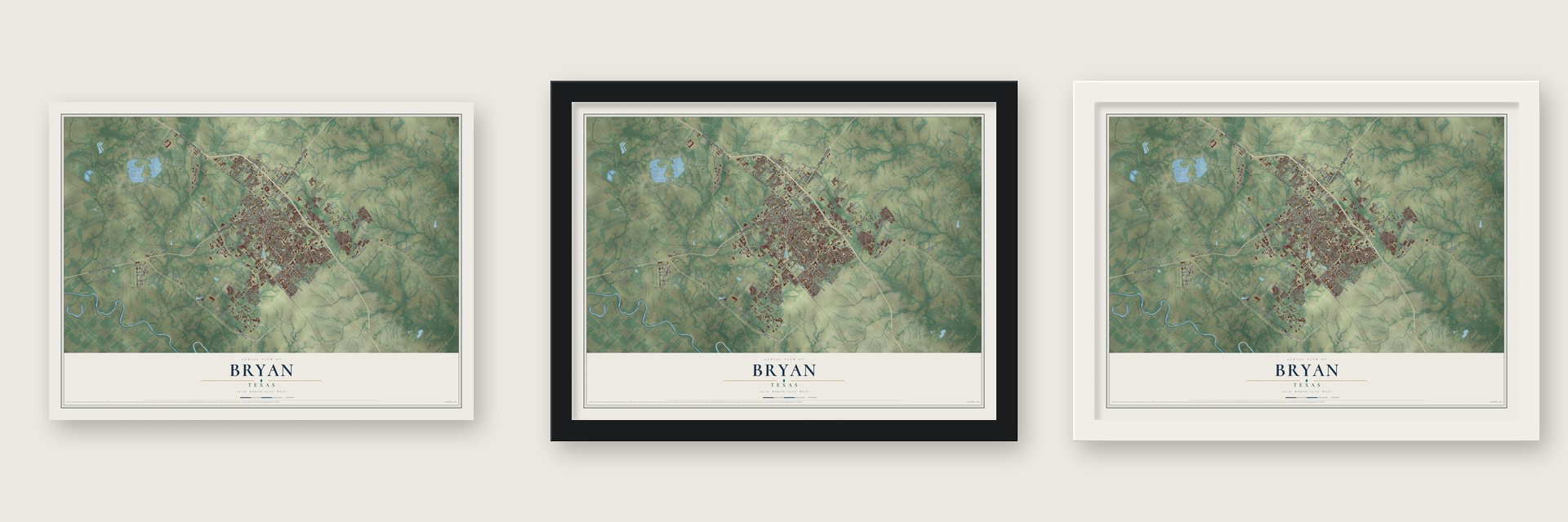
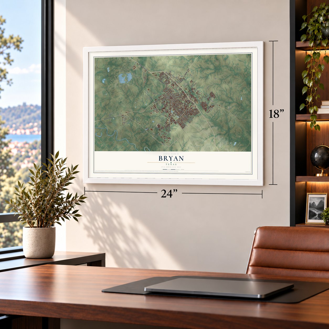
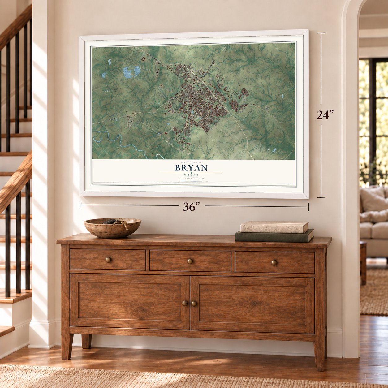
Unframed archival matte, a black wood frame or a white wood frame.
Up close
Real geography. Art worth displaying.
This map was created using accurate cartographic data and authoritative geographic sources, including the U.S. Geological Survey and the Census Bureau. The map brings together terrain, waterways, roads, and building detail. The majority of the streets are labeled, houses are accurately depicted, and the topography is derived from government sources. Combining local data with carefully composed color and shading leads to this beautifully detailed Bryan artwork for your wall.
Rather than simply showing street outlines, we’ve included as many of the street names as we could reasonably fit on the map while keeping their names legible. Zoom in on the high resolution preview to see exactly what’s on the map. We truly set out to create a statement piece for anyone who loves Bryan. So whether it’s for you, or a gift for someone you love, we hope this map of Bryan brings back fond memories.

About Bryan, Texas
Bryan is the county seat of Brazos County, situated in the Brazos Valley beside College Station. The 2020 census recorded 83,980 residents. Its civic history includes the railroad's arrival in 1867, incorporation in 1871, and the addition of electric lighting and waterworks in 1889.
- County SeatBryan replaced Boonville as the Brazos County seat in 1866, when a post office also opened.
- Rail ConnectionsThe Houston and Texas Central Railroad reached Bryan in 1867, followed by the International-Great Northern in 1900.
- Carnegie LibraryBryan's Carnegie Library opened in 1902 with support from a $10,000 grant by Andrew Carnegie.
- Neighboring CityCollege Station borders Bryan to the southeast, and together they form the Bryan-College Station metropolitan area.
Find your street
Names on the Bryan map
Every name below is printed on this map. Look for your street, your school, the park where you played, or the pond down the road.
Places and landmarks4
- Bryan City Hall
- Boonville
- Harvey
- Smetana
Streets and roads202
- North Texas Avenue
- North Earl Rudder Fwy
- Texas Avenue
- Highway 21 East
- Highway 21 West
- San Jacinto Avenue
- West State Highway 21
- North Harvey Mitchell Parkway
- South FM 2818
- West Villa Maria Road
- East 29th Street
- Beck Street
- West 25th Street
- West 28th Street
- Sandy Point Road
- East 24th Street
- FM 60
- FM 158
- Mumford Road
- Silver Hill Road
- Boonville Road
- Finfeather Road
- Copperfield Drive
- Carter Creek Parkway
- East Villa Maria Road
- North FM 2818
- Broadmoor Drive
- Old Hearne Road
- South College Avenue
- Briarcrest Drive
Show all 202 streets
- FM 1179
- Cavitt Avenue
- Leonard Road
- Tabor Road
- Barak Lane
- Hsc Parkway
- Goodson Bend Road
- Thornberry Drive
- FM 1687
- Stevens Drive
- Jones Road
- Louis East Mikulin Road
- Chief Street
- Palasota Drive
- Kingsgate Drive
- Old Reliance Road
- Fifth Street
- Groesbeck Street
- Miramont Circle
- Kuder Road
- Rellis Parkway
- Pitts Road
- Clarks Lane
- Waco Street
- Wallis Road
- FM 2154
- Nuches Lane
- Fountain Avenue
- South Coulter Drive
- East 21st Street
- South Main Street
- Woodcrest Drive
- Austins Estates Drive
- Forestwood Drive
- Green Valley Drive
- Fourth Street
- Luza Lane
- Wilkes Street
- College Avenue
- Canterbury Drive
- Prairie Drive
- Fazzino Lane
- Suncrest Street
- Laura Lane
- Wilhelm Drive
- Camelot Drive
- Colson Road
- Industrial Boulevard
- West 22nd Street
- Gabbard Road
- Viva Road
- Seventh Street
- FM 2818
- Dansby Street
- Ursuline Avenue
- Osborn Lane
- Dellwood Street
- Crossing Drive
- Live Oak Street
- Nagle Street
- Clark Street
- Club Drive
- Tee Drive
- Arbor Drive
- Luza Street
- Lazy Lane
- Higgs Drive
- P4-743
- Parkway
- East State Highway 21
- University Drive East
- Westwood Main
- Woodville Road
- West 27th Street
- East 27th Street
- East 31st Street
- West 18th Street
- Wayside Drive
- West 17th Street
- Kent Street
- East 30th Street
- Oak Ridge Drive
- Tanglewood Drive
- Bryan Road
- Turkey Creek Road
- North Rosemary Drive
- Elaine Drive
- Roughneck Drive
- Old San Antonio Road
- Brompton Lane
- Austins Colony Parkway
- Oakmont Boulevard
- Chick Lane
- Hillside Drive
- Rabbit Lane
- West Carson Street
- Bittle Lane
- West Briargate Drive
- Briar Oaks Drive
- FM 974
- Autumn Lake Drive
- Hardy Weedon Road
- Capitol Parkway
- Bristol Street
- Pendleton Drive
- Tatum Street
- Stella Circle
- Bonham Drive
- Bryant Street
- Lee Morrison Lane
- Cerrillos Drive
- Lucky Street
- Olive Street
- Jaguar Drive
- Dumas Drive
- Charles Avenue
- Cole Street
- Lynette Circle
- Brady Court
- Bruin Terrace
- Patton Avenue
- Eaton Lane
- Cole Lane
- Lis Lane
- Shiloh Avenue
- Concordia Drive
- Old Kurten Road
- Bullinger Creek Drive
- North Traditions Boulevard
- Raymond Stotzer Frontage
- Oak Hill Drive
- Emmett Street
- Thorndyke Lane
- Cambridge Drive
- Williamson Drive
- Shirley Drive
- Eighth Street
- Inwood Drive
- Meadow Lane
- Holick Lane
- Holly Drive
- East 15th Street
- East 18th Street
- River Valley Drive
- Spring Lane
- Basil Court
- Elliott Street
- Hicks Lane
- Blinn Boulevard
- Maloney Avenue
- Park Meadow Lane
- Miramont Boulevard
- Hensel Avenue
- Burt Street
- Enfield Street
- College Main Street
- Mitchell Street
- Northwood Drive
- Southside Drive
- Fowler Drive
- Casita Court
- Pinewood Drive
- Holt Street
- Venice Drive
- Dansby Lane
- Peterson Way
- Oakview Street
- Cedar Street
- Morse Court
- Kiwi Drive
- Lola Lane
- Ibis Court
Names are listed as they appear on the printed map. Zoom into the product photos to find them.
The art of mapping a place
How This Map Was Made
Real places. Remarkable detail. Discover the layers that turn geographic data into a map of home.

The view from above
Aerial imagery reveals the character of the land: woodland, open fields, and the patterns of a place.

The shape of the land
Elevation data brings hills, valleys, and subtle changes in the landscape into view.

The details of home
Roads, waterways, and building footprints come together to make the map feel unmistakably local.

Geography becomes art
Considered color, shading, and typography bring the layers together in a map made for your wall.


Process illustrated with Mendon, Massachusetts. Aerial imagery: USDA NAIP. Terrain: USGS 3D Elevation Program. Map details and finished artwork: KNOWOL.
The Details
About This Print
Choose an archival matte print, or a black or white Ayous wood frame. The archival matte print is unframed.
Select your size and finish above to see the matching product image and price.
Materials & Craftsmanship
A contemporary map with the character of a classic atlas, printed on archival matte paper. Optional frames are made from Ayous wood.
Your printed map does not include the watermark shown in the full-map preview.
Shipping & Delivery
Free shipping within the United States. Every print is made to order in the USA.
Buying a gift? Add a note in your cart and we'll include it. We never put prices in the package.
Prints ship within 2 to 3 business days. Allow 7 to 10 days total from ordering for delivery. Timing may vary during holidays or periods of high order volume.
Read our shipping policy.
Returns and damaged prints
Each print is made to order. Change-of-mind refunds are not available after production.
If your print arrives damaged, misprinted or incorrect, contact support@knowol.com within 30 days of receiving it. Include your order number, photos and a description of the issue.
Read our full refund and replacement policy. For questions about your order, email support@knowol.com.
Find your town
Looking for another city?
Find a map of home in our Texas collection.
Nearby
Maps of towns near Bryan
Know someone from one of these towns? Their map makes a great gift.
 Lake Bryan
, Texas
From $39.99See the map
 College Station
, Texas
From $39.99See the map
 Wixon Valley
, Texas
From $39.99See the map
More maps nearby: Kurten, Tunis, Snook, Beaver Creek and Clay.