
Search for another town


Free U.S. delivery 7 to 10 days after you order
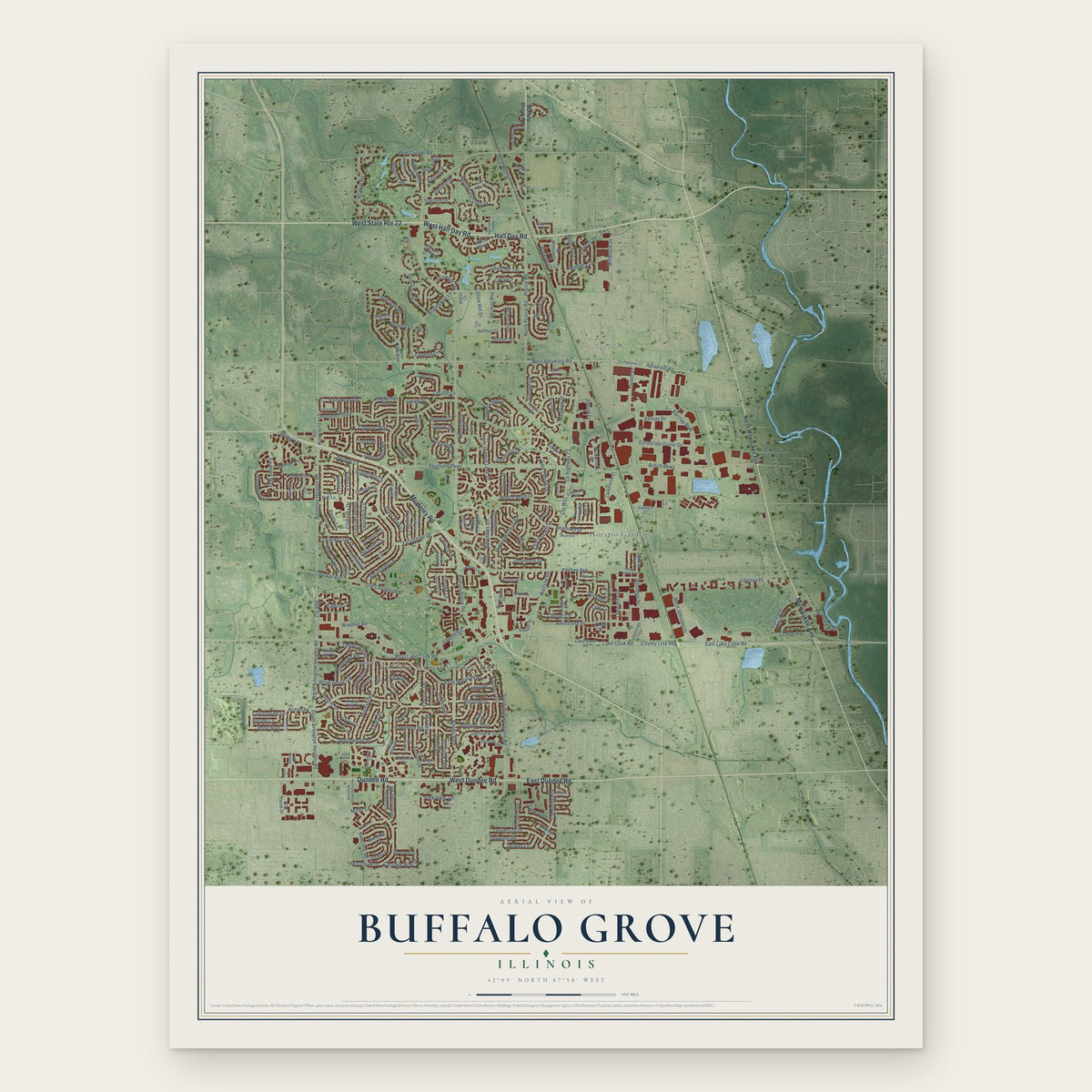
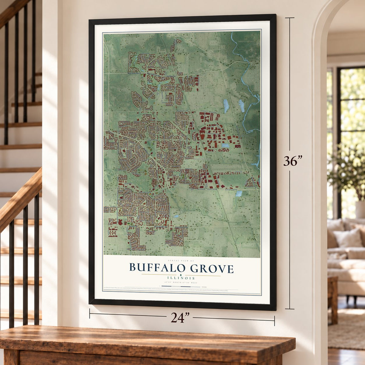
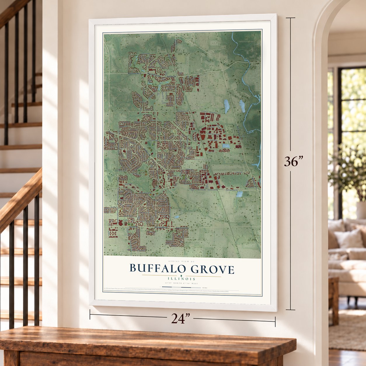
Buffalo Grove, Illinois Map Art
A new map of Buffalo Grove, Illinois, made in 2026 and printed to order on thick archival matte paper.
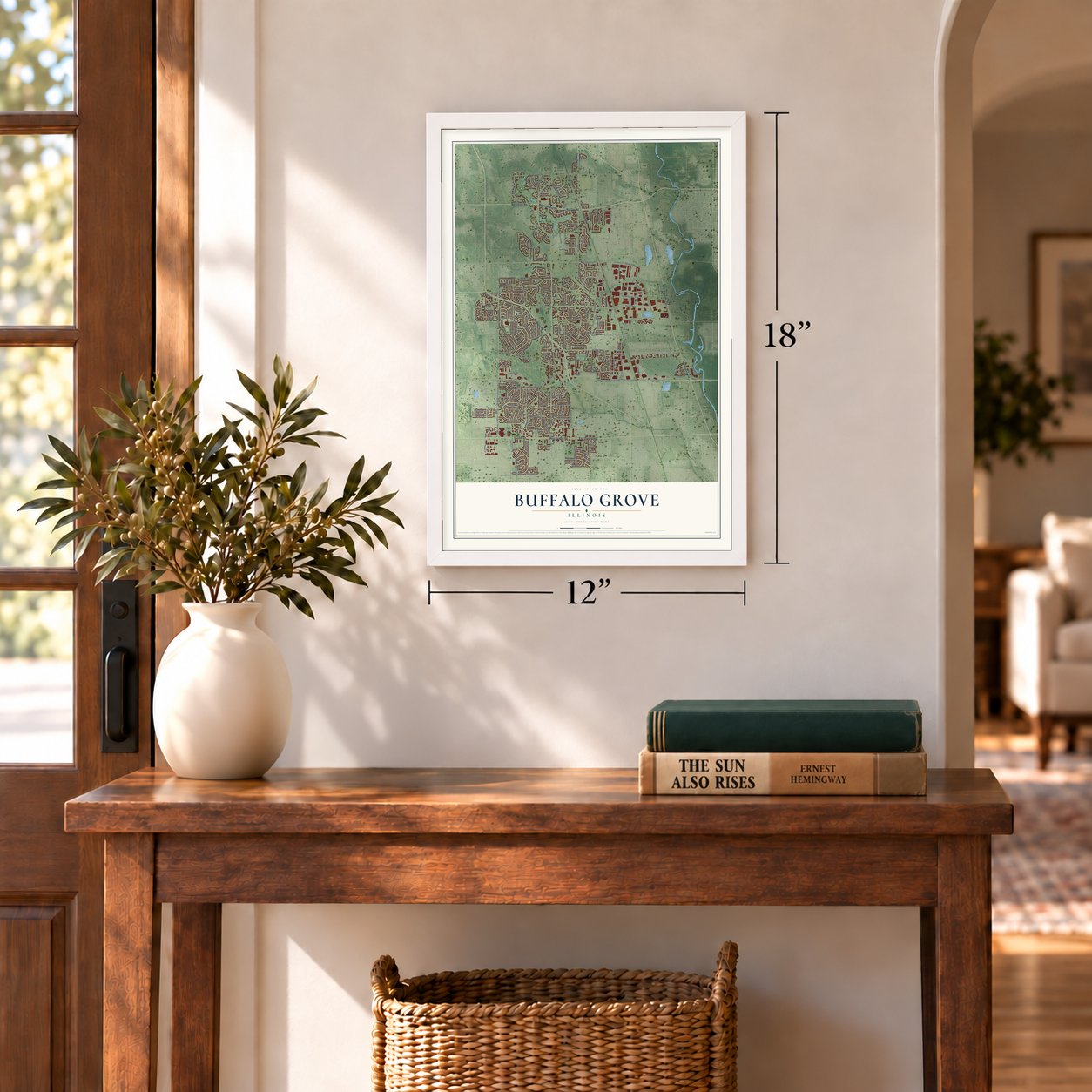
12" x 18" Archival Matte Print
A Map of Home. A Work of Art.
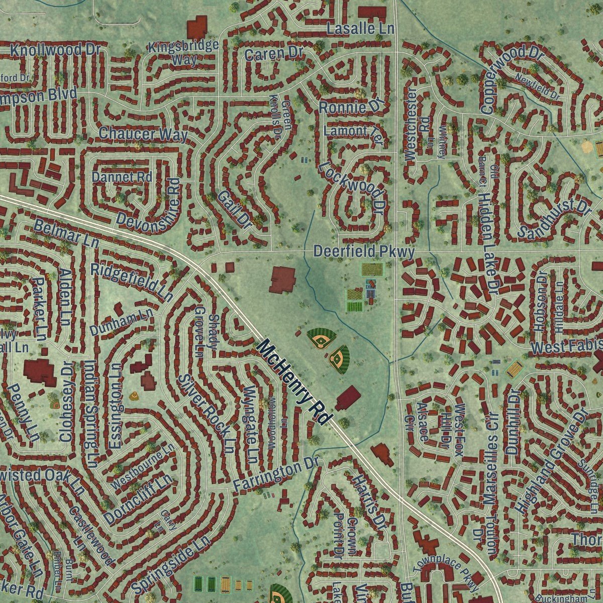
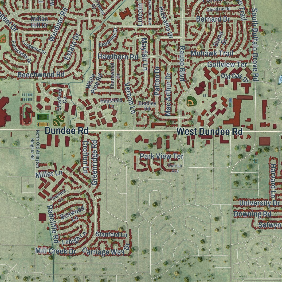
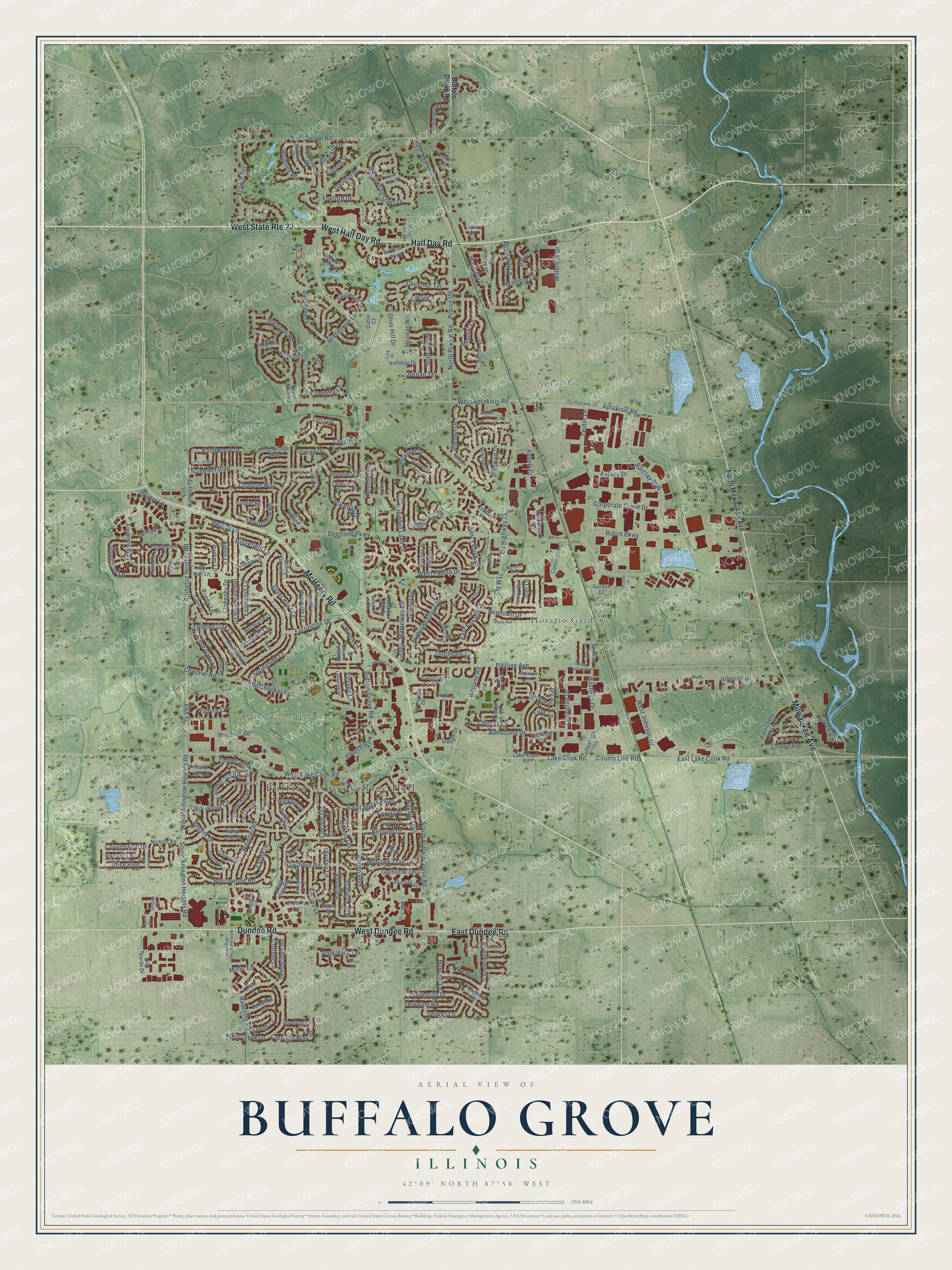
Explore Buffalo Grove, Illinois from a whole new perspective. Created using aerial imagery and detailed geographic data, this map captures Buffalo Grove building by building, with labeled streets, familiar landmarks, and shaded topographical relief that highlights the natural contours of the landscape.
Combining modern data with the timeless character of a vintage atlas, this map is just as interesting up close as it is beautiful on the wall. Whether you grew up in Buffalo Grove, spent memorable years there, or call it home today, this unique map is a great way to celebrate a place that means something to you. Zoom in on the preview to look for your street, and then order a print to put your memories on the wall.
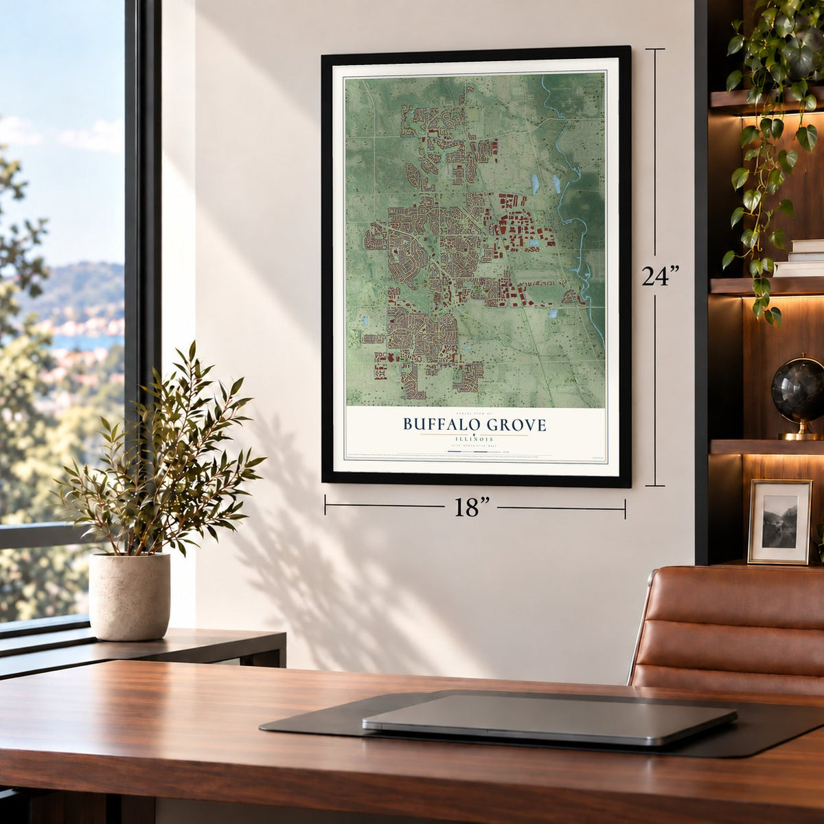
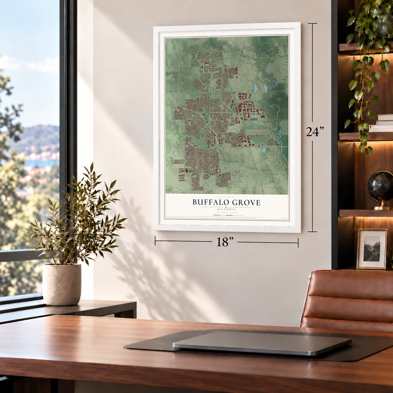
Three ways to hang it
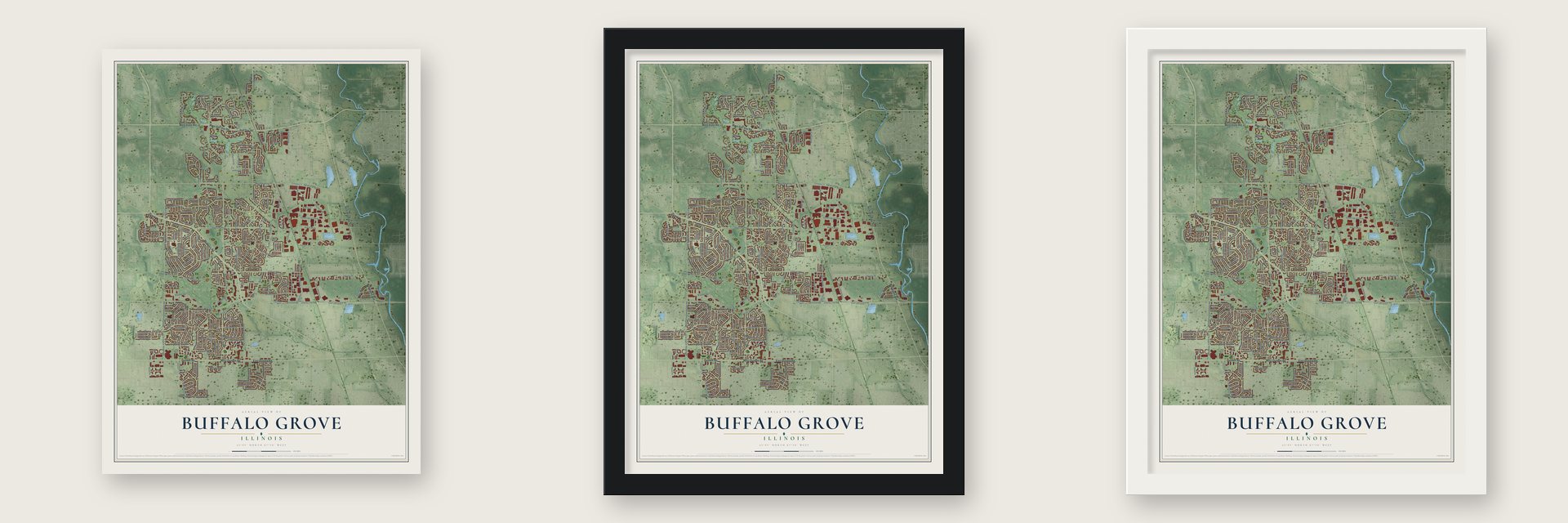
Unframed archival matte, a black wood frame or a white wood frame.
Up close
Geography Worth Displaying
This map was created using accurate cartographic data and authoritative geographic sources, including the U.S. Geological Survey and the Census Bureau. The map brings together terrain, waterways, roads, and building detail. The majority of the streets are labeled, houses are accurately depicted, and the topography is derived from government sources. Combining local data with carefully composed color and shading leads to this beautifully detailed Buffalo Grove artwork for your wall.
Rather than simply showing street outlines, we’ve included as many of the street names as we could reasonably fit on the map while keeping their names legible. Zoom in on the high resolution preview to see exactly what’s on the map. We truly set out to create a statement piece for anyone who loves Buffalo Grove. So whether it’s for you, or a gift for someone you love, we hope this map of Buffalo Grove brings back fond memories.
Read the story behind this map of Buffalo Grove, Illinois from 2026.

About Buffalo Grove, Illinois
Buffalo Grove is an Illinois village spanning Lake and Cook Counties, with 43,212 residents recorded in the 2020 census. Its history includes Potawatomi presence, nineteenth-century German immigrant institutions, and substantial suburban growth after incorporation in 1958.
- A Creek-Given NameBuffalo Grove takes its name from Buffalo Creek, whose Potawatomi name was rendered into English.
- St. Mary's RootsCatholic German immigrants founded St. Mary's Roman Catholic Church and St. Mary's School in the 1850s.
- A Rural CommunityBefore World War II, fewer than 150 people lived in Buffalo Grove, most of them dairy farmers.
- Incorporated in 1958Buffalo Grove incorporated in 1958 with a population of 164.
- Decade of GrowthDuring the 1970s, the village's population grew 80 percent, the third-highest rate among the northwest suburbs.
Find your street
Names on the Buffalo Grove map
Every name below is printed on this map. Look for your street, your school, the park where you played, or the pond down the road.
Places and landmarks5
- Buffalo Grove Village Hall
- Prairie View
- Aptakisic
- Horatio Gardens
- Buffalo Grove Golf Club
Streets and roads267
- West State Route 22
- Dundee Road
- West Dundee Road
- West Half Day Road
- McHenry Road
- East Dundee Road
- Milwaukee Avenue
- Half Day Road
- Buffalo Grove Road
- Arlington Heights Road
- Lake Cook Road
- Weiland Road
- County Line Road
- East Lake Cook Road
- West Lake Cook Road
- Barclay Boulevard
- Port Clinton Road
- Cty W17
- County Highway 73
- Pauline Avenue
- South Arlington Heights Road
- Navajo Trail
- Harris Drive
- North Prairie Road
- Prairie Road
- Olive Hill Drive
- West Aptakisic Road
- Mohawk Trail
- Deerfield Parkway
- Thompson Boulevard
Show all 267 streets
- Brandywyn Lane
- Cty V69
- North Arlington Heights Road
- Johnson Drive
- West Johnson Drive
- Aptakisic Road
- Bernard Drive
- Highland Grove Drive
- Checker Road
- South Buffalo Grove Road
- Weidner Road
- Fremont Way
- Old Checker Road
- Armstrong Drive
- Saint Marys Parkway
- Sheridan Road
- Whispering Oaks Drive
- Busch Parkway
- Twisted Oak Lane
- Raupp Boulevard
- Lake Boulevard
- East Fox Hill Drive
- Hidden Lake Drive
- Mill Creek Drive
- Apple Hill Lane
- Devonshire Road
- Acacia Terrace
- Indian Spring Lane
- Golfview Terrace
- Madison Drive
- East Fabish Drive
- Beechwood Road
- Buckthorn Terrace
- Jordan Terrace
- Corporate Grove Drive
- Waterbury Lane
- Timber Hill Road
- Bristol Lane
- Lexington Drive
- Rose Boulevard
- Newtown Drive
- Mayfair Lane
- Silver Rock Lane
- Gail Drive
- Hastings Drive
- Lockwood Drive
- Caren Drive
- Marseilles Circle
- Copperwood Drive
- Chestnut Terrace
- Sandhurst Drive
- Asbury Drive
- Stanton Drive
- Madiera Lane
- Belmar Lane
- Cambridge Drive
- Hawthorn Road
- Alden Lane
- Regent Drive
- Dunhill Drive
- University Drive
- Raintree Road
- Springside Lane
- Millbrook Drive
- Shambliss Lane
- Knollwood Drive
- Plum Grove Circle
- Patton Drive
- Thorndale Drive
- Vernon Lane
- Riverwalk Drive
- Wiedner Road
- West Fabish Drive
- Fairfax Lane
- Chaucer Way
- Essington Lane
- Abbott Court
- Countryside Drive
- Blue Ash Drive
- Ronnie Drive
- Downing Road
- Foxford Drive
- Stonegate Road
- Greenridge Road
- Farrington Drive
- Auburn Lane
- Lasalle Lane
- Arbor Gate Lane
- Lilac Lane
- Chicory Lane
- Forest Place
- Estate Drive
- Carriage Way Drive
- Wyngate Lane
- Beverly Lane
- Palazzo Drive
- Park View Terrace
- Leider Lane
- Penny Lane
- Parker Lane
- Crofton Lane
- Mac Arthur Drive
- Selwyn Lane
- Church Road
- Lincoln Terrace
- Vintage Lane
- Carlyle Lane
- Miramar Lane
- Lyon Drive
- Linden Avenue
- Daulton Drive
- Rachel Lane
- Radcliffe Road
- Wright Boulevard
- Dorncliff Lane
- Ridgefield Lane
- Coventry Lane
- Harvard Lane
- Clohesey Drive
- Miller Lane
- Hickory Drive
- Joel Lane
- North Milwaukee Avenue
- Willow Parkway
- Le Parc Circle
- North Main Street
- Lake-Cook Road
- Avalon Drive
- Villa Verde Drive
- Timberhill Road
- West Fox Hill Drive
- Sandalwood Road
- Satinwood Terrace
- Birchwood Lane
- White Pine Road
- Grove Drive
- Shady Grove Lane
- Providence Lane
- Indian Hill Drive
- County Highway 79
- Roslyn Lane
- East Chevy Chase Drive
- Old Oak Drive
- Kingsbridge Way
- Castlewood Lane
- Hobson Drive
- Commerce Court
- Ivy Hall Lane
- Hiawatha Drive
- Windbrooke Drive
- Indian Creek Drive
- Crown Point Drive
- Boxwood Lane
- Kingston Drive
- Westchester Road
- Meridian Way
- Winston Drive
- Nichols Road
- Alsace Circle
- Carman Avenue
- Lehigh Lane
- Cobbler Lane
- Dunham Lane
- Diane Drive
- Osage Lane
- Lamont Terrace
- Steeple Drive
- Toulon Drive
- Taylor Court
- Hoffman Drive
- Stanford Lane
- Twin Oaks Boulevard
- Hastings Lane
- Brunswick Drive
- Dannet Road
- White Hall Court
- Overview Drive
- Banyan Tree Lane
- Didier Court
- Charles Court
- Garden Court
- Hapsfield Lane
- County Highway 33
- North Horatio Boulevard
- Aspen Drive
- Green Knolls Drive
- Trace Drive
- Townplace Parkway
- Country Lane
- Forestway Drive
- Stradford Circle
- Sunridge Lane
- Hilldale Lane
- Bayberry Drive
- Westbourne Lane
- Dogwood Terrace
- Thornwood Drive
- Windsor Drive
- Joseph Court
- Lakeview Drive
- Saybrook Lane
- Elmwood Drive
- North Easton Avenue
- Prairie Lane
- Marvins Way
- Bradley Road
- Edgemere Road
- Link Drive
- Dover Court
- Woodstone Drive
- West Pauline Avenue
- Glendale Road
- Woodhollow Lane
- North Old Arlington Heights Road
- Burnt Ember Lane
- Cherrywood Road
- Thornton Lane
- Rosewood Avenue
- Oxford Drive
- Belaire Drive
- Buckingham Lane
- Newfield Drive
- Sussex Court
- Burgess Circle
- Longwood Drive
- Ridgewood Lane
- Bentley Place
- Margate Drive
- Cameron Way
- Whitney Lane
- Estonian Lane
- Chapel Oaks Drive
- Marie Avenue
- Old Barn Court
- Dun-Lo Avenue
- Krause Drive
- Carry Lane
Names are listed as they appear on the printed map. Zoom into the product photos to find them.
The art of mapping a place
How This Map Was Made
Real places. Remarkable detail. Discover the layers that turn geographic data into a map of home.

The view from above
Aerial imagery reveals the character of the land: woodland, open fields, and the patterns of a place.

The shape of the land
Elevation data brings hills, valleys, and subtle changes in the landscape into view.

The details of home
Roads, waterways, and building footprints come together to make the map feel unmistakably local.

Geography becomes art
Considered color, shading, and typography bring the layers together in a map made for your wall.


Process illustrated with Mendon, Massachusetts. Aerial imagery: USDA NAIP. Terrain: USGS 3D Elevation Program. Map details and finished artwork: KNOWOL.
The Details
About This Print
Choose an archival matte print, or a black or white Ayous wood frame. The archival matte print is unframed.
Select your size and finish above to see the matching product image and price.
Materials & Craftsmanship
A contemporary map with the character of a classic atlas, printed on archival matte paper. Optional frames are made from Ayous wood.
Your printed map does not include the watermark shown in the full-map preview.
Shipping & Delivery
Free shipping within the United States. Every print is made to order in the USA.
Buying a gift? Add a note in your cart and we'll include it. We never put prices in the package.
Prints ship within 2 to 3 business days. Allow 7 to 10 days total from ordering for delivery. Timing may vary during holidays or periods of high order volume.
Read our shipping policy.
Returns and damaged prints
Each print is made to order. Change-of-mind refunds are not available after production.
If your print arrives damaged, misprinted or incorrect, contact support@knowol.com within 30 days of receiving it. Include your order number, photos and a description of the issue.
Read our full refund and replacement policy. For questions about your order, email support@knowol.com.
Find your town
Looking for another city?
Find a map of home in our Illinois collection, or any town in the country.
Nearby
Maps of towns near Buffalo Grove
Know someone from one of these towns? Their map makes a great gift.
 Lincolnshire
, Illinois
From $39.99See the map
 Long Grove
, Illinois
From $39.99See the map
 Wheeling
, Illinois
From $39.99See the map
More maps nearby: Riverwoods, Indian Creek, Kildeer, Prospect Heights and Vernon Hills.