
Search for another town


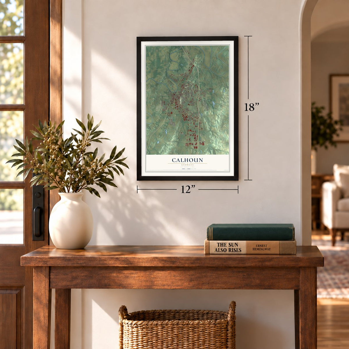
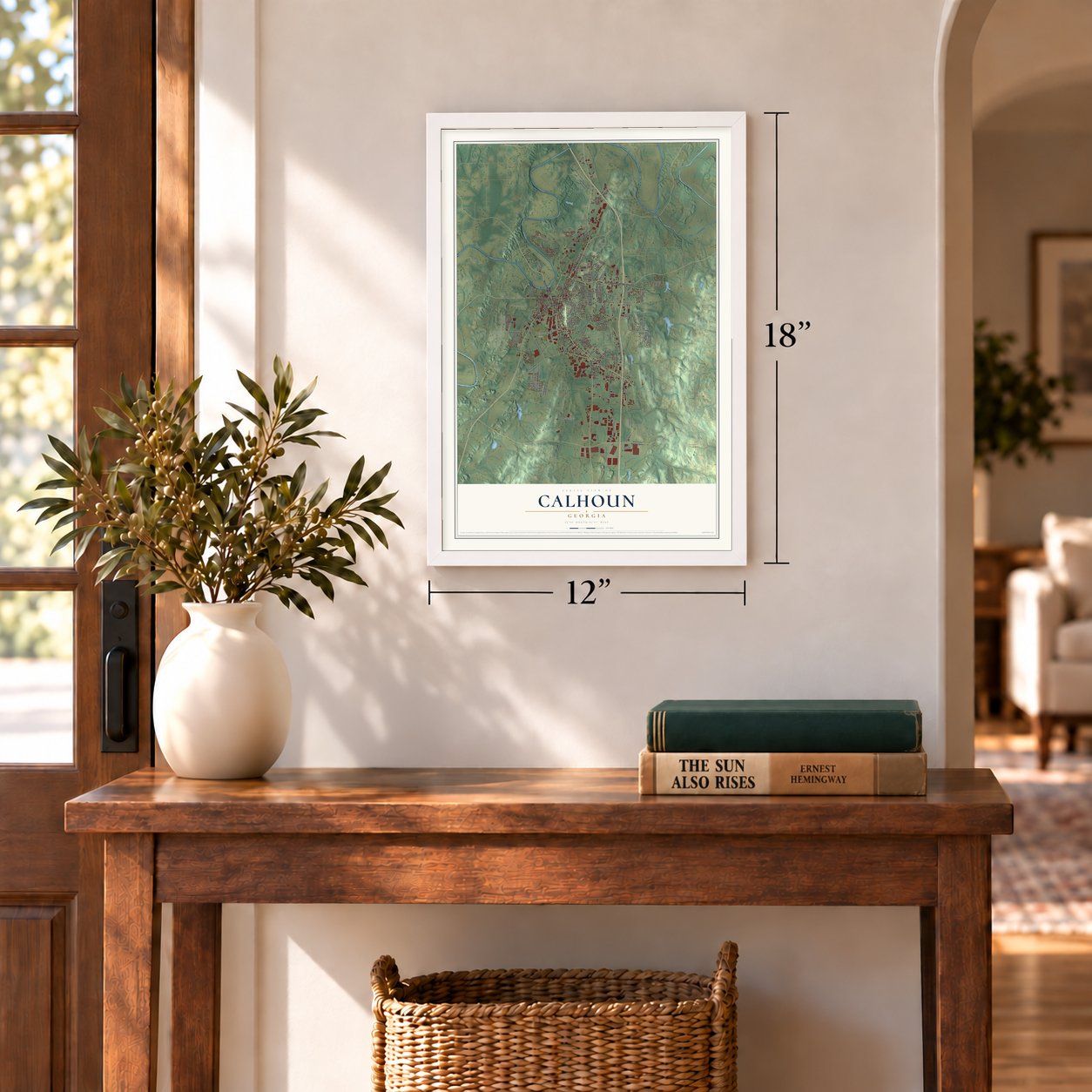

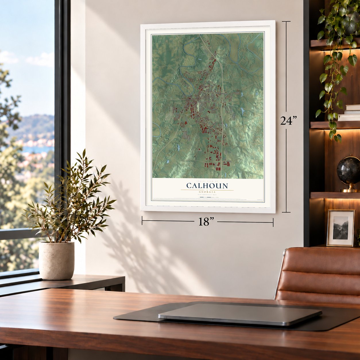
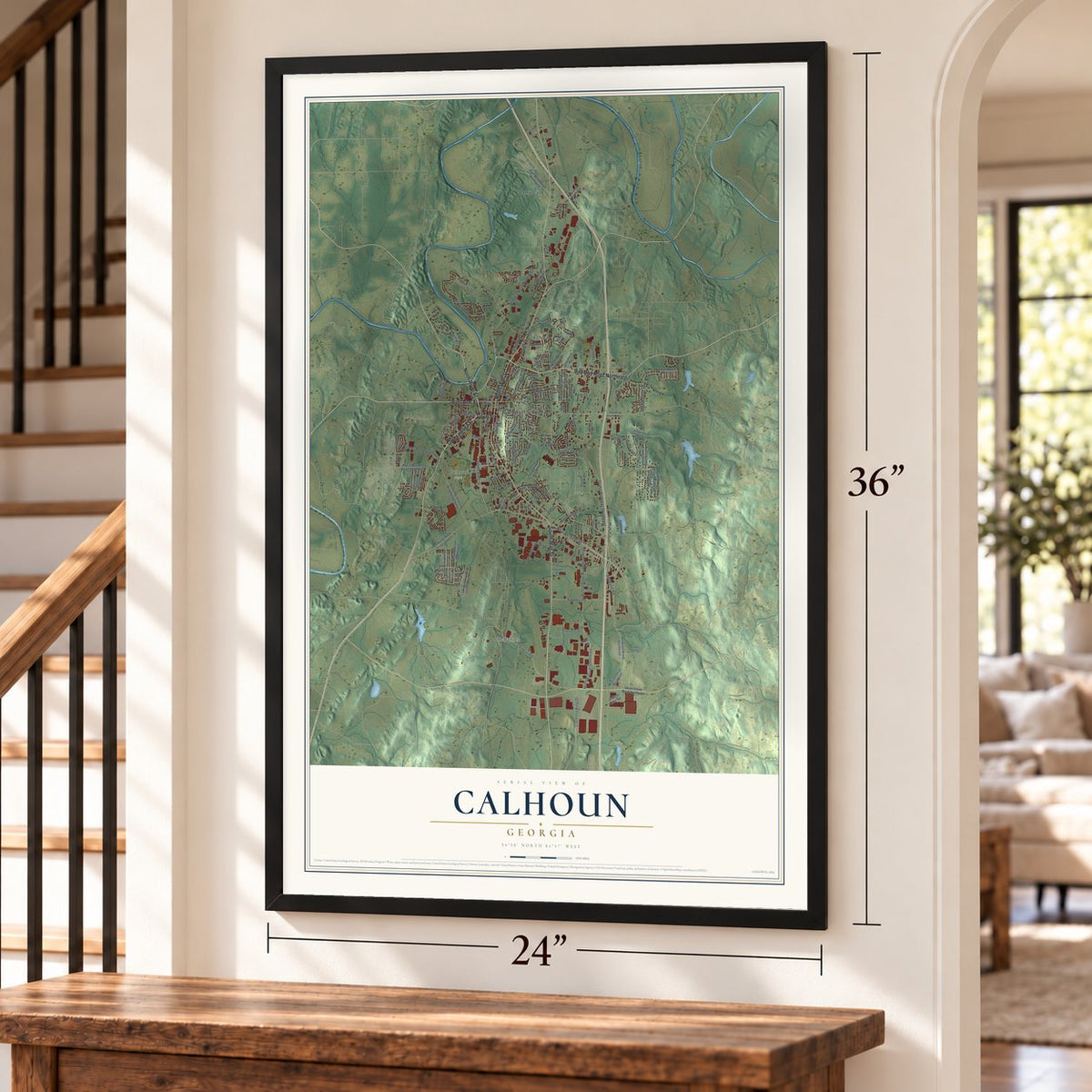

Free U.S. delivery 7 to 10 days after you order
Calhoun, Georgia Map Art
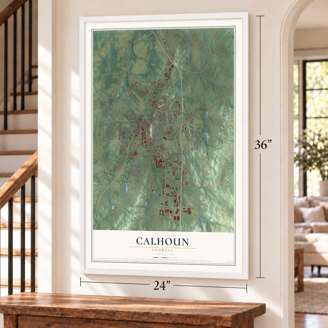
A new map of Calhoun, Georgia, made in 2026 and printed to order on thick archival matte paper.
12" x 18" Archival Matte Print
A Map of Home. A Work of Art.
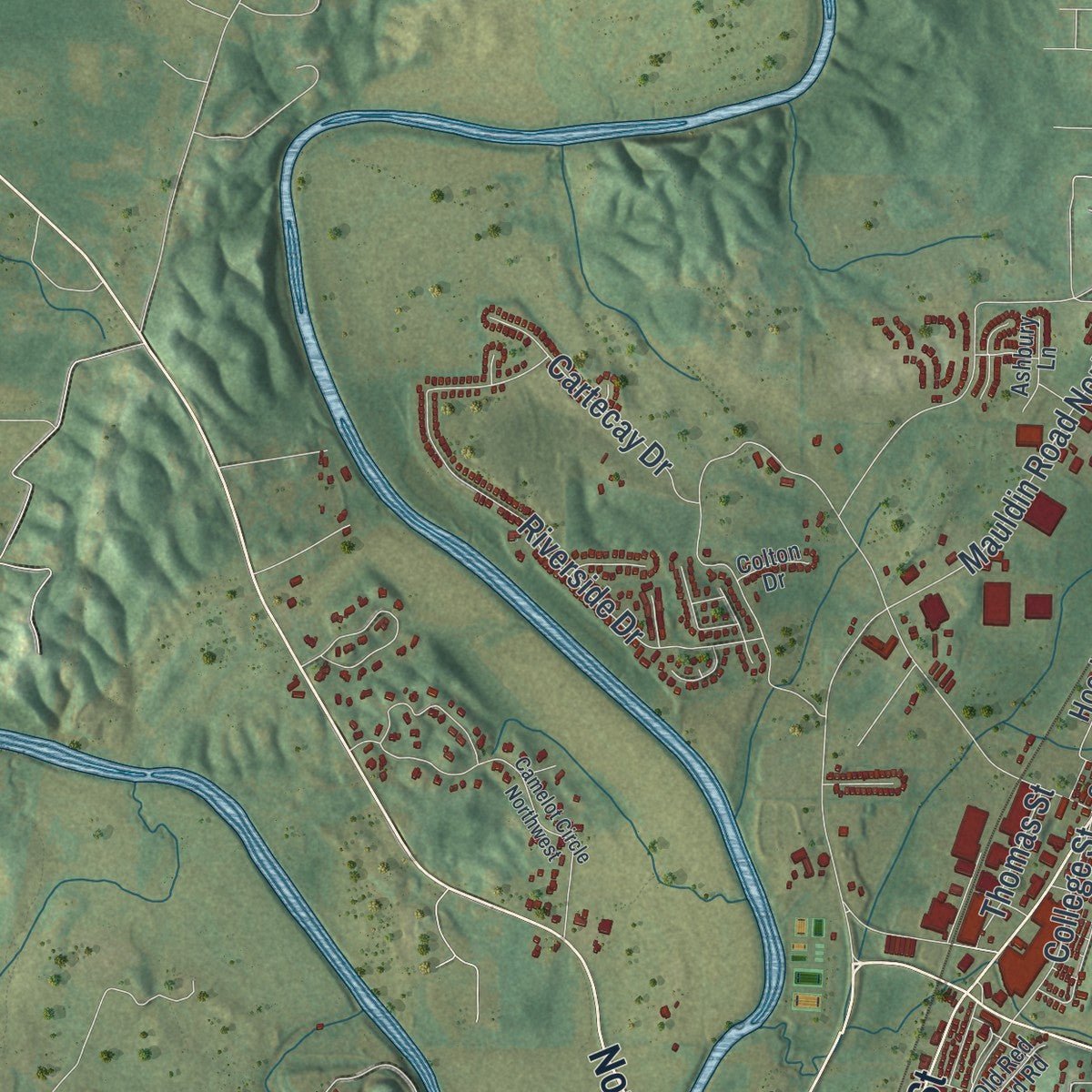
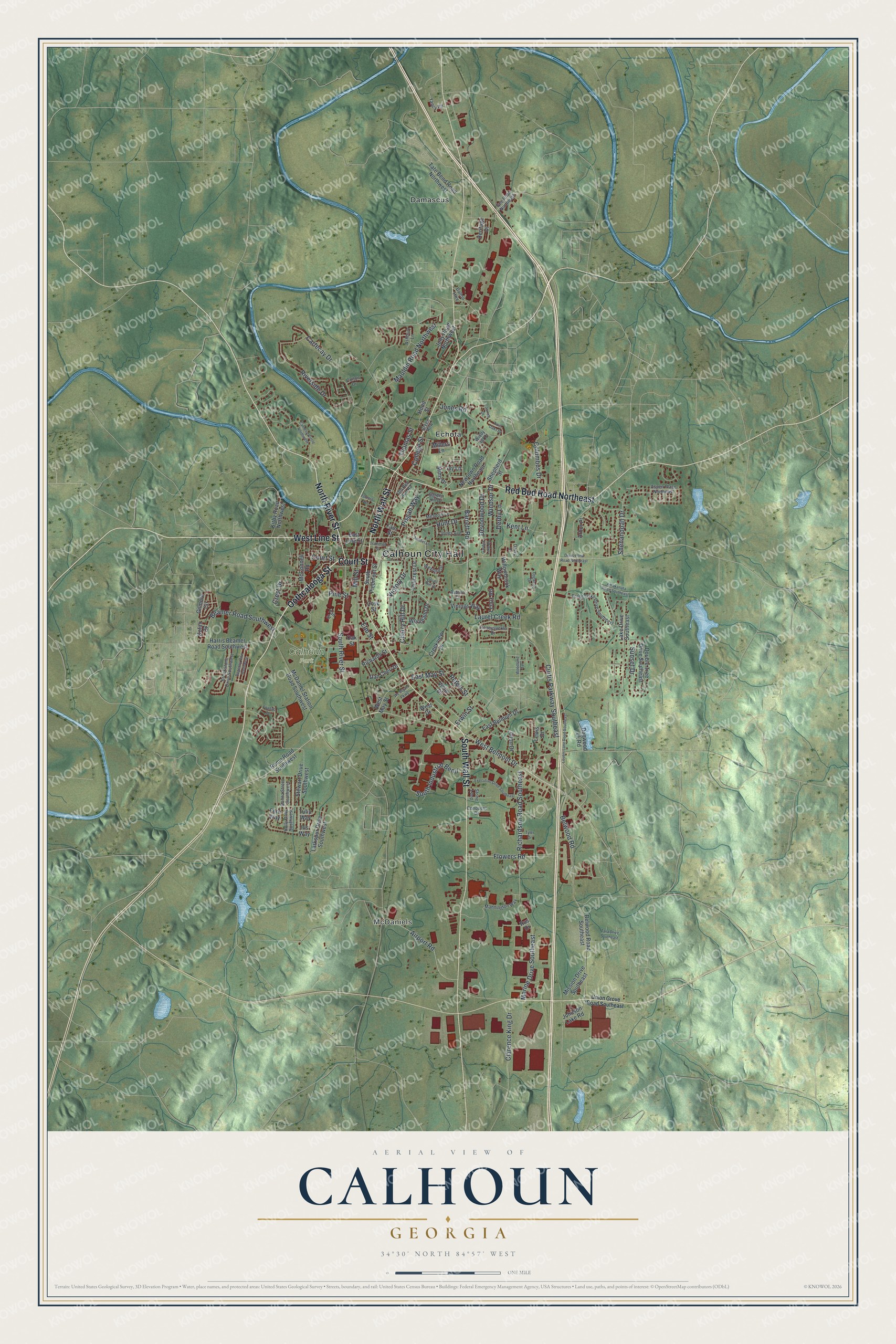
Explore Calhoun, Georgia from a whole new perspective. Created using aerial imagery and detailed geographic data, this map captures Calhoun building by building, with labeled streets, familiar landmarks, and shaded topographical relief that highlights the natural contours of the landscape.
Combining modern data with the timeless character of a vintage atlas, this map is just as interesting up close as it is beautiful on the wall. Whether you grew up in Calhoun, spent memorable years there, or call it home today, this unique map is a great way to celebrate a place that means something to you. Zoom in on the preview to look for your street, and then order a print to put your memories on the wall.
Three ways to hang it
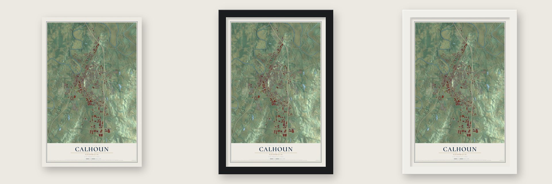
Unframed archival matte, a black wood frame or a white wood frame.
Up close
Geography Worth Displaying
This map was created using accurate cartographic data and authoritative geographic sources, including the U.S. Geological Survey (USGS) and FEMA. The map brings together terrain, waterways, roads, and building detail. The majority of the streets are labeled, houses are accurately depicted, and the topography is derived from government sources. Combining local data with carefully composed color and shading leads to this beautifully detailed Calhoun artwork for your wall.
Rather than simply showing street outlines, we’ve included as many of the street names as we could reasonably fit on the map while keeping their names legible. Zoom in on the high resolution preview to see exactly what’s on the map. We truly set out to create a statement piece for anyone who loves Calhoun. So whether it’s for you, or a gift for someone you love, we hope this map of Calhoun brings back fond memories.
Explore the full map of Calhoun, Georgia and read about the local places it shows.

About Calhoun, Georgia
Calhoun is a city of 16,949 people and the seat of Gordon County, where Oothkalooga Creek meets the Oostanaula River. It began as a small town called Dawsonville, named for the man who ran an early general store, on Cherokee land that Georgia had claimed by December 1827. After U.S. Senator John C. Calhoun died in 1850, the town was renamed in his honor.
When it came time to pick a county seat, Gordon County's inferior court held an election with two choices: a central spot in the county or a spot on the Western & Atlantic Railroad. Voters picked the railroad, so the court named Calhoun the county seat in 1851. The legislature incorporated the town on January 12, 1852.
- Sherman's headquarters in 1864Most of the Civil War's fighting happened elsewhere, but during the Atlanta campaign the two armies met near Calhoun on May 16, 1864, before the Battle of Adairsville. William Tecumseh Sherman led the Union side there, and Joseph E. Johnston commanded the Confederates. Sherman made Oakleigh, the home of Dr. Wall, his headquarters while he was here.
- A tornado, then a fireOn March 20, 1888, a tornado flattened much of Calhoun. Seven months later, on October 23 of the same year, a fire burned most of the buildings the storm had left standing.
- Roland Hayes, born hereThe tenor Roland Hayes was born in Calhoun in 1887 and went to school here. He is often called the first Black male concert singer to win wide praise both in America and overseas. The Roland Hayes Museum at the Harris Arts Center honors him in his hometown.
- The Calhoun Times since 1870Founded in 1870, the Calhoun Times is the oldest business still running in Gordon County. The paper still delivers print editions to homes twice a week, on Wednesdays and Saturdays.
Find your street
Names on the Calhoun map
Every name below is printed on this map. Look for your street, your school, the park where you played, or the pond down the road.
Places and landmarks5
- Calhoun City Hall
- McDaniels
- Calhoun Park
- Damascus
- Echota
Streets and roads136
- Court Street
- Oothcalooga Street
- West Line Street
- North Wall Street
- Red Bud Road Northeast
- South Wall Street
- North River Street
- West Belmont Drive
- Curtis Parkway Southeast
- Belwood Road
- Pine Street
- Elm Street
- College Street
- Sunset Drive
- Peters Street
- Mauldin Road Northwest
- Marine Drive Southeast
- South Industrial Bend
- South River Street
- Riverside Drive
- Beamer Road Southwest
- Victory Drive
- Clarence King Drive
- Richardson Road Southeast
- Airport Road
- Laurel Creek Road
- Barrett Road
- Devonwood Drive
- Cherry Hill Drive
- Derby Lane
Show all 136 streets
- Cartecay Drive
- Columbus Drive
- Jones Road
- Flowers Road
- Hunt Drive
- Pisgah Way
- Windsor Drive
- Kent Lane
- East May Street
- Shenandoah Drive
- Crest Drive
- Thomas Street
- Erwin Street
- Mill Street
- Rome Road Southwest
- East Line Street
- West May Street
- Belwood Road Southeast
- Johnson Lake Road
- Hood Street
- McDaniel Station Road Southwest
- Double Tree Drive Southeast
- Hillcrest Drive
- Stewart Drive Southwest
- Lake Drive Southeast
- Kirby Road Northwest
- Harris Beamer Road Southwest
- McConnell Road
- East Belmont Drive
- Jolly Road Northwest
- Newtown Road Northeast
- Larkspur Drive Southwest
- Gilmore Circle
- Woodland Drive
- South Piedmont Street
- Creekview Drive
- Oak Street
- Tate Bend Road Northwest
- Vinings Way
- Shepherd Street
- Mission Drive Southeast
- Willowbrook Way
- Lenox Road
- Fain Street
- Dan Cheri Drive
- Richards Street
- Mims Drive
- Dogwood Lk Road
- Victor Drive
- Alton Drive
- Millers Lane
- Tulip Way
- Heritage Drive
- Kofax Drive
- Arbor Place
- West Drive
- Iris Way
- Ivy Lane
- Rus Drive
- Lewis Drive
- Cove Street
- Fern Way
- Stone Loop
- Three Oaks Drive Southeast
- Brookstone Drive Southwest
- Meadow Lane
- Garden Hill Drive
- Mannington Way
- Wexford Drive
- Gee Road Northeast
- Aspen Place Northeast
- Donna Street Southwest
- Jones Avenue
- Honeysuckle Drive
- Old Red Bud Road
- Holly Drive Southwest
- Conquest Drive
- Yancy Road
- Ashbury Lane
- Dalton Highway
- Colton Drive
- Green Row
- Ashton Court
- Davis Drive
- Windy Hill Drive
- Fair Street
- Union Grove Road Southeast
- Dews Pond Road Northeast
- Lovers Lane Road Southeast
- Forrest Avenue
- Woodland Terrace
- Camelot Circle Northwest
- Executive Drive Southeast
- Trammell Street
- Jarrett Drive
- Wc Bryant Parkway
- Regency Row Southwest
- Anabel Lane
- Amakanata Road Southeast
- Quail Run Drive
- Dogwood Drive
- Tara Drive Southeast
- Twin Oaks Drive
- Garden Lake Drive
- Tyler Drive
- Foxhall Drive
Names are listed as they appear on the printed map. Zoom into the product photos to find them.
The art of mapping a place
How This Map Was Made
Real places. Remarkable detail. Discover the layers that turn geographic data into a map of home.

The view from above
Aerial imagery reveals the character of the land: woodland, open fields, and the patterns of a place.

The shape of the land
Elevation data brings hills, valleys, and subtle changes in the landscape into view.

The details of home
Roads, waterways, and building footprints come together to make the map feel unmistakably local.

Geography becomes art
Considered color, shading, and typography bring the layers together in a map made for your wall.


Process illustrated with Mendon, Massachusetts. Aerial imagery: USDA NAIP. Terrain: USGS 3D Elevation Program. Map details and finished artwork: KNOWOL.
The Details
About This Print
Choose an archival matte print, or a black or white Ayous wood frame. The archival matte print is unframed.
Select your size and finish above to see the matching product image and price.
Materials & Craftsmanship
A contemporary map with the character of a classic atlas, printed on archival matte paper. Optional frames are made from Ayous wood.
Your printed map does not include the watermark shown in the full-map preview.
Shipping & Delivery
Free shipping within the United States. Every print is made to order in the USA.
Buying a gift? Add a note in your cart and we'll include it. We never put prices in the package.
Prints ship within 2 to 3 business days. Allow 7 to 10 days total from ordering for delivery. Timing may vary during holidays or periods of high order volume.
Read our shipping policy.
Returns and damaged prints
Each print is made to order. Change-of-mind refunds are not available after production.
If your print arrives damaged, misprinted or incorrect, contact support@knowol.com within 30 days of receiving it. Include your order number, photos and a description of the issue.
Read our full refund and replacement policy. For questions about your order, email support@knowol.com.
Find your town
Looking for another city?
Find a map of home in our Georgia collection, or any town in the country.
Nearby
Maps of towns near Calhoun
Know someone from one of these towns? Their map makes a great gift.
 Resaca
, Georgia
From $39.99See the map
 Sonoraville
, Georgia
From $39.99See the map
 Plainville
, Georgia
From $39.99See the map
More maps nearby: Adairsville, Ranger, Fairmount, Shannon and Cedar Ridge.