
Search for another town

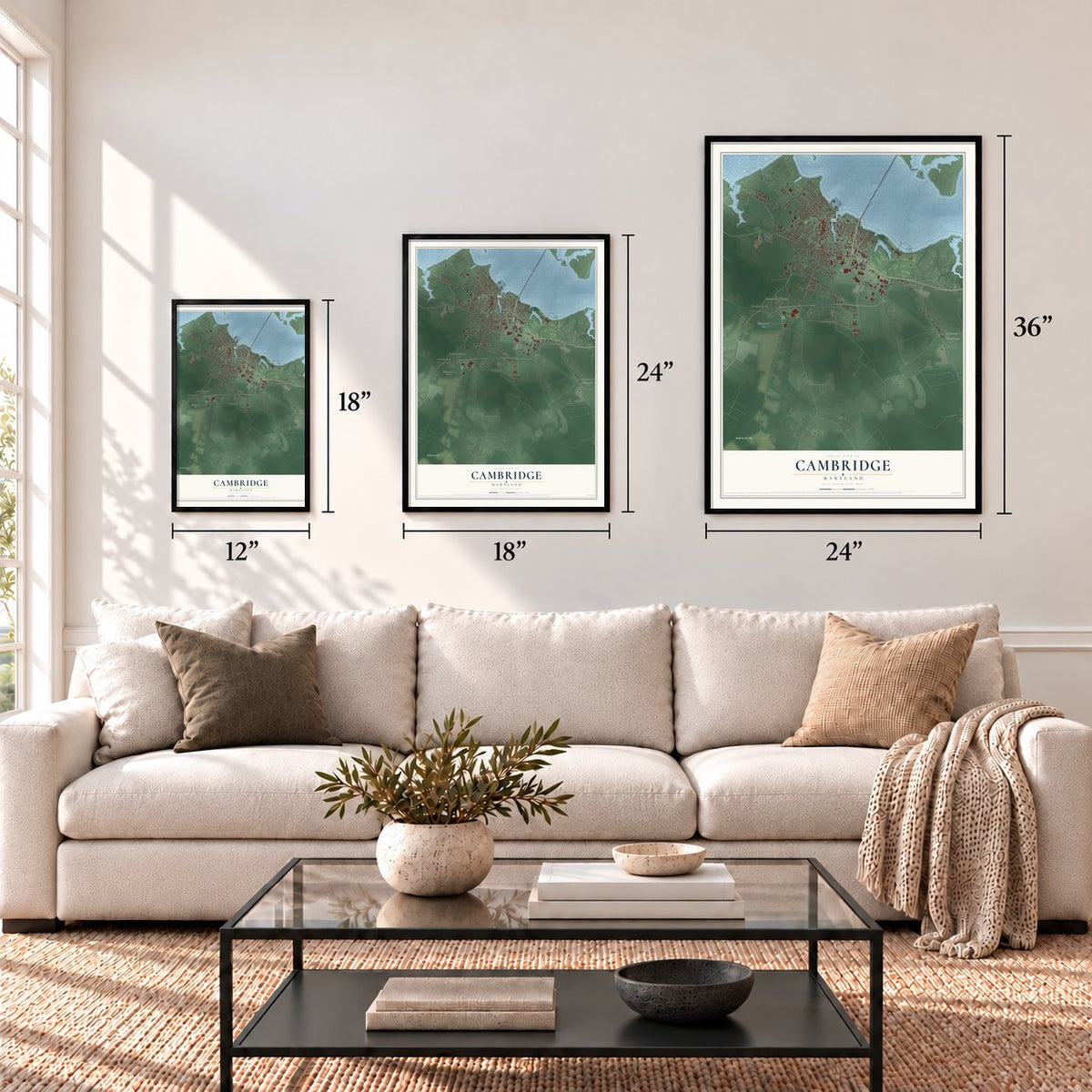
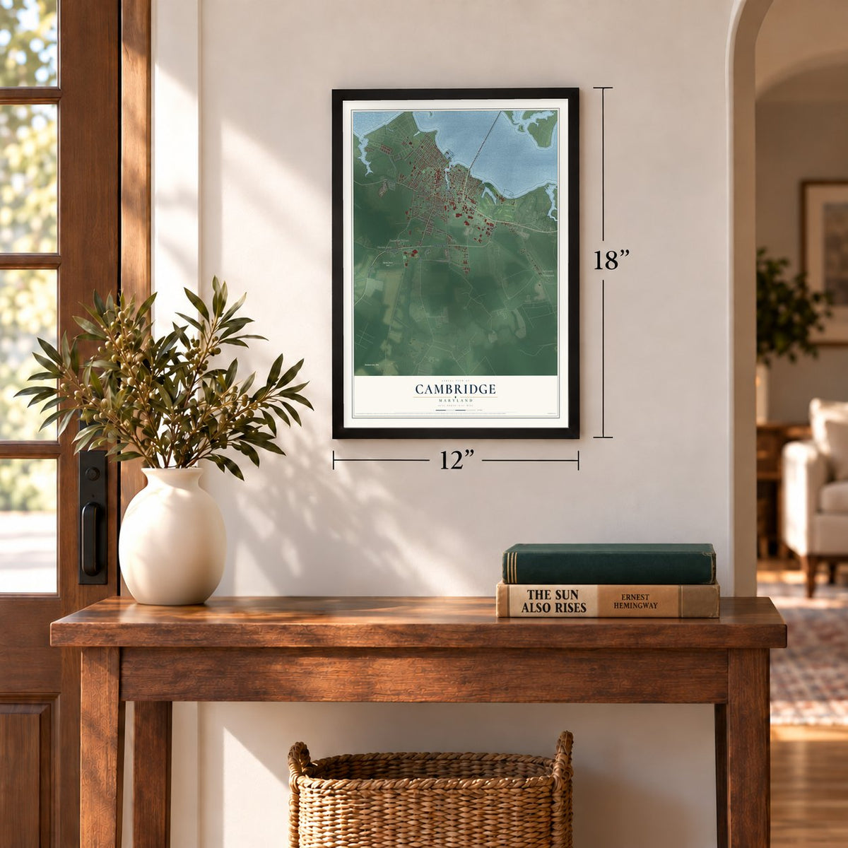
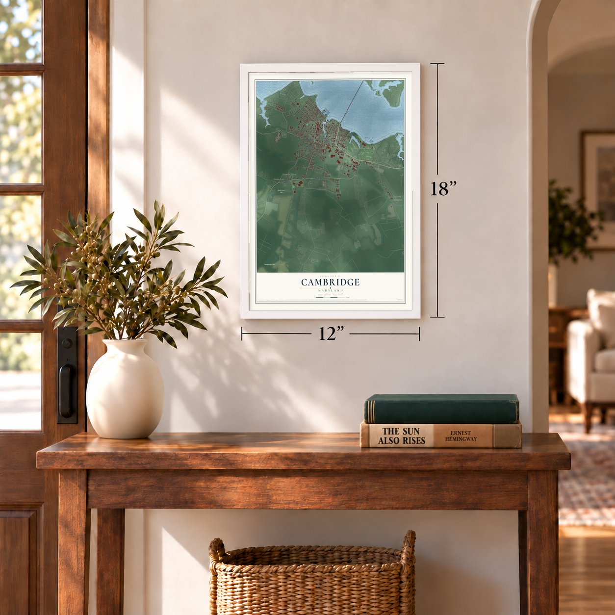

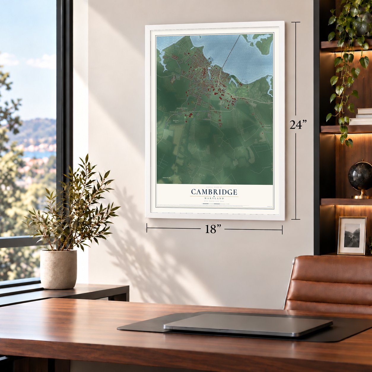


Free U.S. delivery 7 to 10 days after you order
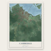
Cambridge, Maryland Map Art
A new map of Cambridge, Maryland, made in 2026 and printed to order on thick archival matte paper.
12" x 18" Archival Matte Print
A Map of Home. A Work of Art.
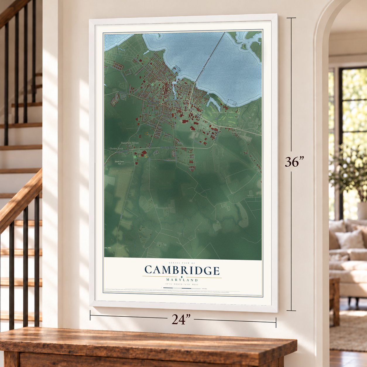
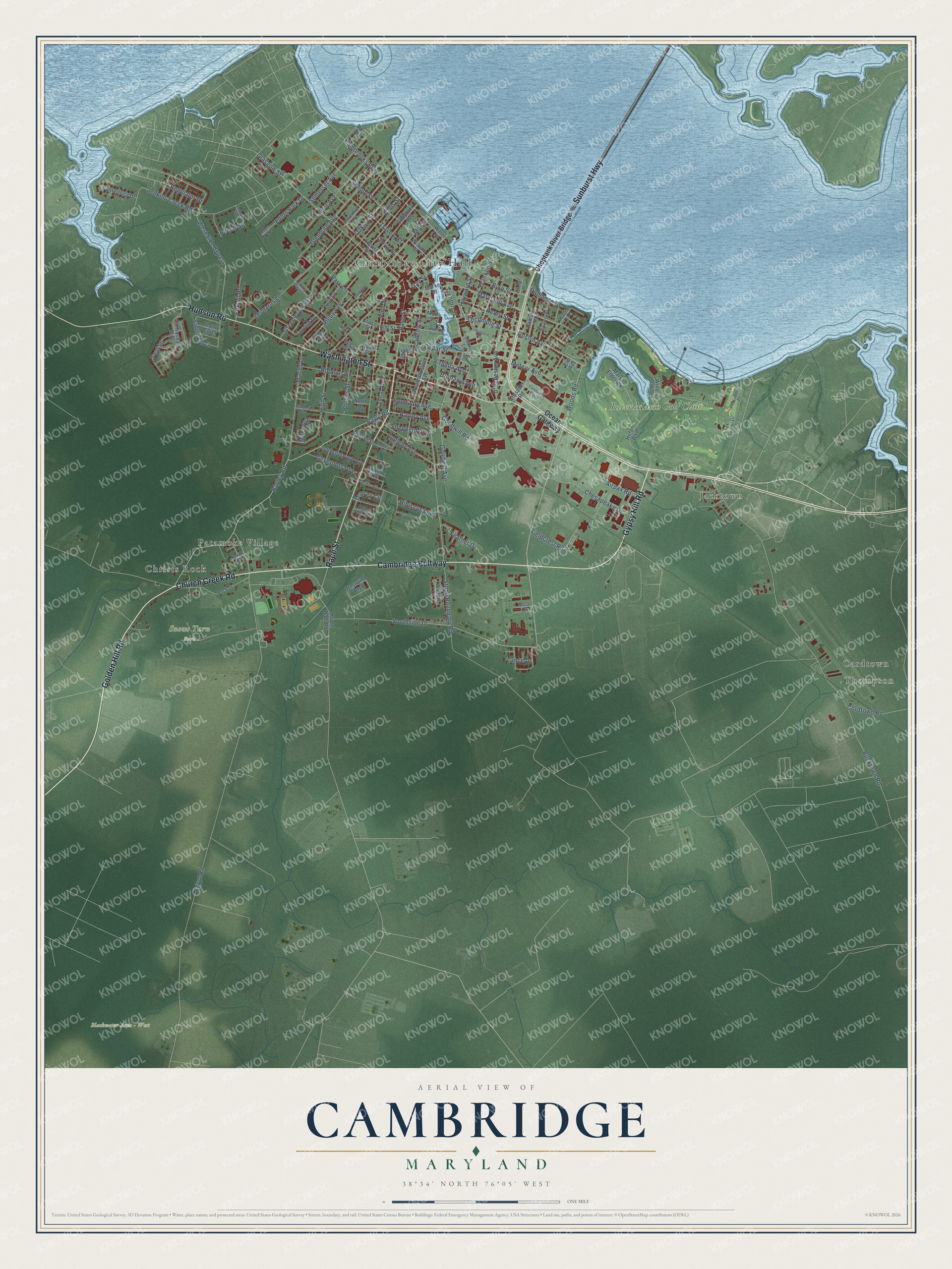
Explore Cambridge, Maryland from a whole new perspective. Created using aerial imagery and detailed geographic data, this map captures Cambridge building by building, with labeled streets, familiar landmarks, and shaded topographical relief that highlights the natural contours of the landscape.
Combining modern data with the timeless character of a vintage atlas, this map is just as interesting up close as it is beautiful on the wall. Whether you grew up in Cambridge, spent memorable years there, or call it home today, this unique map is a great way to celebrate a place that means something to you. Zoom in on the preview to look for your street, and then order a print to put your memories on the wall.
Three ways to hang it
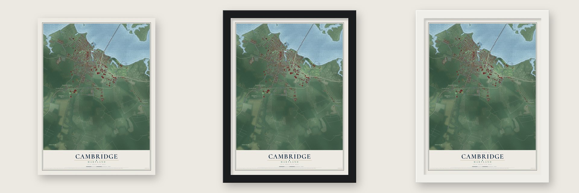
Unframed archival matte, a black wood frame or a white wood frame.
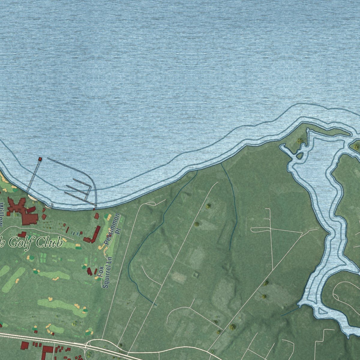
Up close
Geography Worth Displaying
This map was created using accurate cartographic data and authoritative geographic sources, including the U.S. Geological Survey and the Census Bureau. The map brings together terrain, waterways, roads, and building detail. The majority of the streets are labeled, houses are accurately depicted, and the topography is derived from government sources. Combining local data with carefully composed color and shading leads to this beautifully detailed Cambridge artwork for your wall.
Rather than simply showing street outlines, we’ve included as many of the street names as we could reasonably fit on the map while keeping their names legible. Zoom in on the high resolution preview to see exactly what’s on the map. We truly set out to create a statement piece for anyone who loves Cambridge. So whether it’s for you, or a gift for someone you love, we hope this map of Cambridge brings back fond memories.
Read the story behind this map of Cambridge, Maryland from 2026.
About Cambridge, Maryland
Cambridge is a city of 13,096 people and the seat of Dorchester County, on the south bank of the Choptank River. The Choptank Indians, who spoke an Algonquian language, lived along that river when English colonists settled here in 1684. Eastern Shore planters grew tobacco at first and later turned to mixed farming, and the busy town pier made Cambridge a trading center for the region.
Cambridge was incorporated in 1793 on land that had been part of the Choptank Indian Reservation, and its name was borrowed from an English city and county of the same name. The town also became a stop on the Underground Railroad, whose safe houses sheltered enslaved people fleeing north.
- Canning for two world warsIn the late 19th century Cambridge began canning oysters, tomatoes and sweet potatoes. The Phillips Packing Company led that growth and became the region's biggest employer, helped by Department of Defense contracts in both world wars, and at its peak it had as many as 10,000 workers. Tastes changed, the company cut back, and by the early 1960s it had shut down, leaving many people out of work. Its Plant F joined the National Register in 2021.
- The Cambridge movementFrom 1962 to 1967, Black residents of Cambridge protested for fair jobs and housing and for an end to segregated schools and public places. Gloria Richardson led the movement. Riots in 1963 and 1967 brought the Maryland National Guard into the city, and public segregation in Cambridge officially ended under the Civil Rights Act of 1964.
- The Shore's first daily paperLindsay C. Marshall and Armistead R. Michie started The Daily Banner in Cambridge, the first daily newspaper on the Eastern Shore, and printed its first issue on September 22, 1897. The paper carries on today as the weekly Dorchester Banner.
- Boats for the ArmyDuring World War II, the Cambridge Shipbuilders yard turned out rescue boats for downed aircraft, crash boats and T-boats, along with freight and passenger vessels, all for the U.S. Army.
- Bea Arthur's hometownBea Arthur grew up in Cambridge, where her parents ran a clothing store, and her classmates at Cambridge High School voted her wittiest girl. She went on to win Emmy and Tony awards and to star in Maude and The Golden Girls.
Find your street
Names on the Cambridge map
Every name below is printed on this map. Look for your street, your school, the park where you played, or the pond down the road.
Places and landmarks10
- Cambridge City Hall
- Thompson
- Blackwater Area - West
- Snows Turn Park
- Cardtown
- Christs Rock
- Jacktown
- Patamoke Village
- River Marsh Golf Club
- Eldon Park
Streets and roads134
- Gypsy Hill Road
- Church Creek Road
- Golden Hill Road
- Cambridge Beltway
- Sunburst Highway
- Washington Street
- Race Street
- Hudson Road
- Roslyn Avenue
- Hayward Street
- Trenton Street
- Lecompte Street
- Woods Road
- Maryland Avenue
- Bayley Avenue
- Bayley Road
- Bayly Road
- Southside Drive
- Virginia Avenue
- Egypt Road
- Bucktown Road
- Stone Boundary Road
- High Street
- Glasgow Street
- Regulator Drive
- Jenkins Creek Road
- West Side Bypass
- Chesapeake Drive
- School Street
- Robbins Street
Show all 134 streets
- Leonards Lane
- Glenburn Avenue
- Oakley Street
- Dorchester Avenue
- Pine Street
- Somerset Avenue
- Cedar Street
- Hambrooks Boulevard
- Maces Lane
- Willis Street
- Talbot Avenue
- Osprey Circle
- Academy Street
- Goodwill Avenue
- Greenwood Avenue
- Cordtown Road
- Franklin Street
- Park Lane
- Rigby Avenue
- Travers Street
- Boundary Avenue
- Mill Street
- Radiance Drive
- Phillips Street
- Feather Drive
- Appleby Avenue
- Henry Street
- Fieldcrest Road
- Byrn Street
- Governors Avenue
- Edlon Park Drive
- Teal Lane
- Shepherd Avenue
- Airpax Road
- Goodwill Road
- Gay Street
- Foxtail Road
- Hibiscus Lane
- Meteor Avenue
- Brohawn Avenue
- Miles Avenue
- Beech Street
- Lance Drive
- Ocean Gateway
- Choptank River Bridge
- Market Street
- Heron Boulevard
- Peachblossom Avenue
- Locust Street
- Crusader Road
- Maple Dam Road
- Canvasback Way
- Saddle Bill Circle
- Choptank Avenue
- Muir Street
- Marsh Elder Road
- Westwind Boulevard
- Church Street
- Goldsborough Avenue
- Rambler Road
- Water Street
- Cornish Drive
- Central Avenue
- Canterbury Drive
- Elm Street
- Stiles Circle
- Willow Oak Drive
- Burton Street
- Seaway Lane
- Snowy Egret
- Atlantic Avenue
- William Street
- Winters Court
- Cross Street
- Astor Circle
- Wells Street
- Light Street
- North Drive
- Bay Street
- Elm Avenue
- Abacco Lane
- Rock Drive
- Bradley Avenue
- Belvedere Avenue
- Pacific Avenue
- Douglas Street
- Hubert Street
- Fox Squirrel Lane
- Persimmon Place
- Egles Nest Way
- Cosby Avenue
- Devon Place
- Aurora Street
- Cambridge Plaza
- Shipyard Drive
- Killarney Road
- Cemetery Avenue
- Lake Street
- Rosehill Drive
- Terrapin Circle
- Bayberry Way
- Robinson Avenue
- Skinners Court
- Noble Street
Names are listed as they appear on the printed map. Zoom into the product photos to find them.
The art of mapping a place
How This Map Was Made
Real places. Remarkable detail. Discover the layers that turn geographic data into a map of home.

The view from above
Aerial imagery reveals the character of the land: woodland, open fields, and the patterns of a place.

The shape of the land
Elevation data brings hills, valleys, and subtle changes in the landscape into view.

The details of home
Roads, waterways, and building footprints come together to make the map feel unmistakably local.

Geography becomes art
Considered color, shading, and typography bring the layers together in a map made for your wall.


Process illustrated with Mendon, Massachusetts. Aerial imagery: USDA NAIP. Terrain: USGS 3D Elevation Program. Map details and finished artwork: KNOWOL.
The Details
About This Print
Choose an archival matte print, or a black or white Ayous wood frame. The archival matte print is unframed.
Select your size and finish above to see the matching product image and price.
Materials & Craftsmanship
A contemporary map with the character of a classic atlas, printed on archival matte paper. Optional frames are made from Ayous wood.
Your printed map does not include the watermark shown in the full-map preview.
Shipping & Delivery
Free shipping within the United States. Every print is made to order in the USA.
Buying a gift? Add a note in your cart and we'll include it. We never put prices in the package.
Prints ship within 2 to 3 business days. Allow 7 to 10 days total from ordering for delivery. Timing may vary during holidays or periods of high order volume.
Read our shipping policy.
Returns and damaged prints
Each print is made to order. Change-of-mind refunds are not available after production.
If your print arrives damaged, misprinted or incorrect, contact support@knowol.com within 30 days of receiving it. Include your order number, photos and a description of the issue.
Read our full refund and replacement policy. For questions about your order, email support@knowol.com.
Find your town
Looking for another city?
Find a map of home in our Maryland collection, or any town in the country.
Nearby
Maps of towns near Cambridge
Know someone from one of these towns? Their map makes a great gift.
 Algonquin
, Maryland
From $39.99See the map
 Church Creek
, Maryland
From $39.99See the map
 Madison
, Maryland
From $39.99See the map
More maps nearby: Trappe, Secretary, East New Market, Oxford and Choptank.