
Search for another town



Free U.S. delivery 7 to 10 days after you order
Canton, Mississippi Map Art
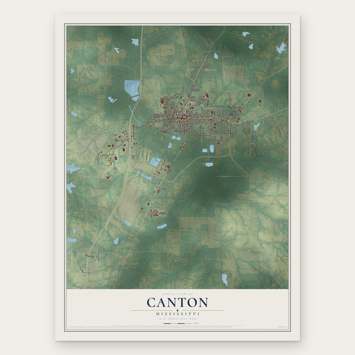
A new map of Canton, Mississippi, made in 2026 and printed to order on thick archival matte paper.
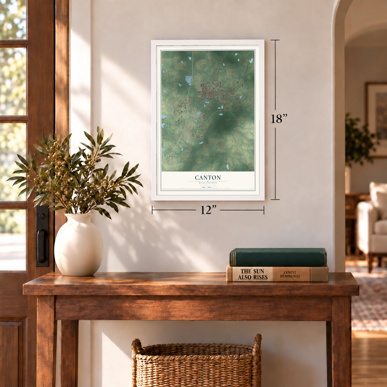
12" x 18" Archival Matte Print
A Map of Home. A Work of Art.
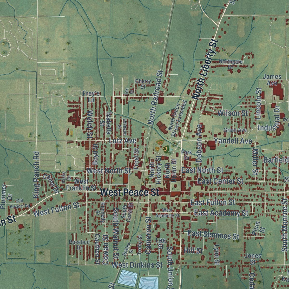
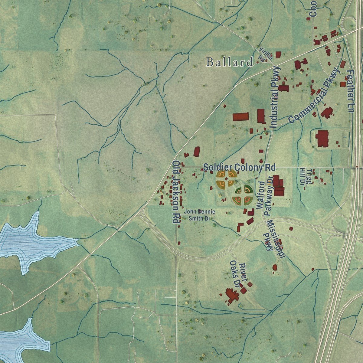
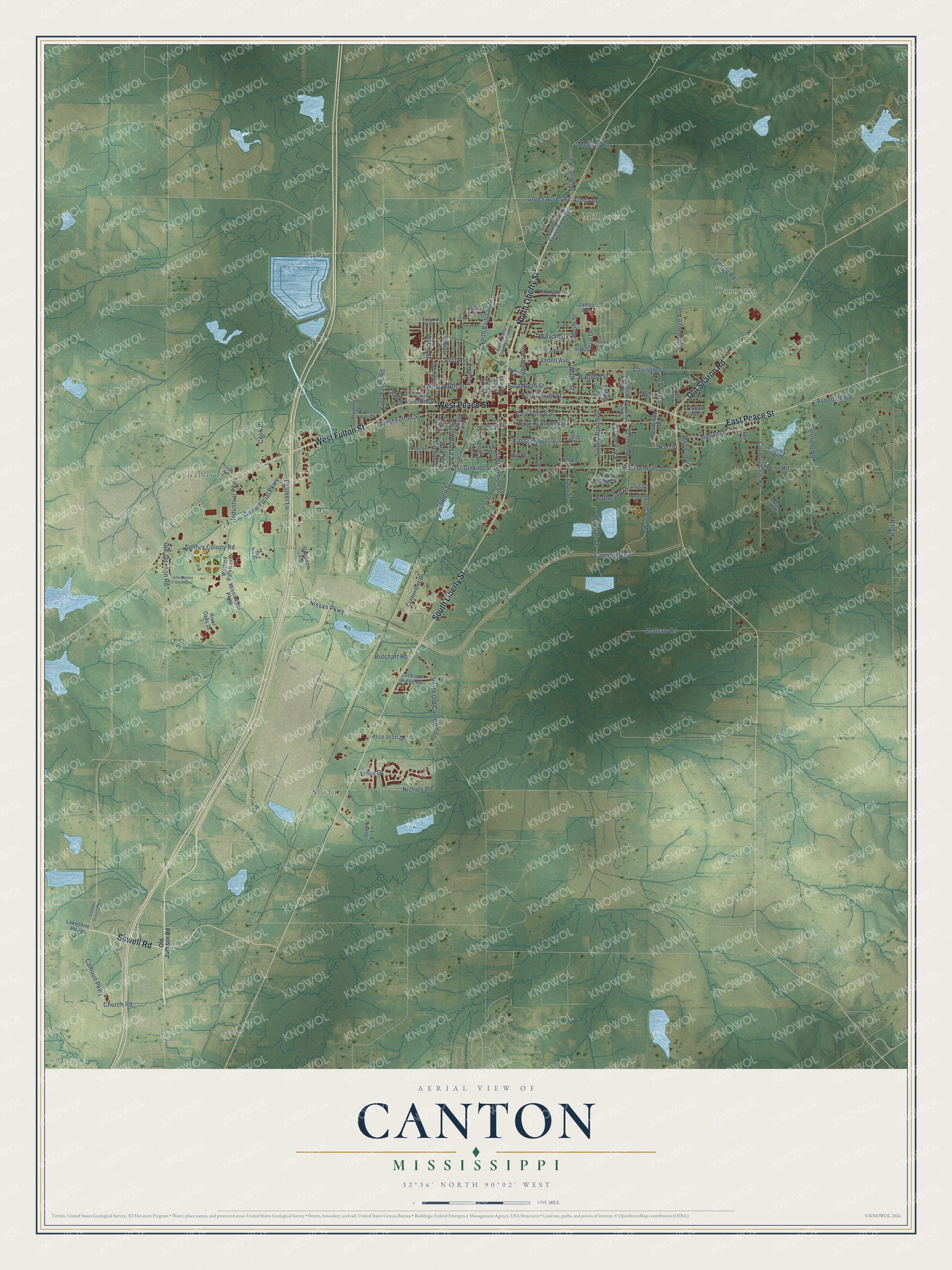
Explore Canton, Mississippi from a whole new perspective. Created using aerial imagery and detailed geographic data, this map captures Canton building by building, with labeled streets, familiar landmarks, and shaded topographical relief that highlights the natural contours of the landscape.
Combining modern data with the timeless character of a vintage atlas, this map is just as interesting up close as it is beautiful on the wall. Whether you grew up in Canton, spent memorable years there, or call it home today, this unique map is a great way to celebrate a place that means something to you. Zoom in on the preview to look for your street, and then order a print to put your memories on the wall.
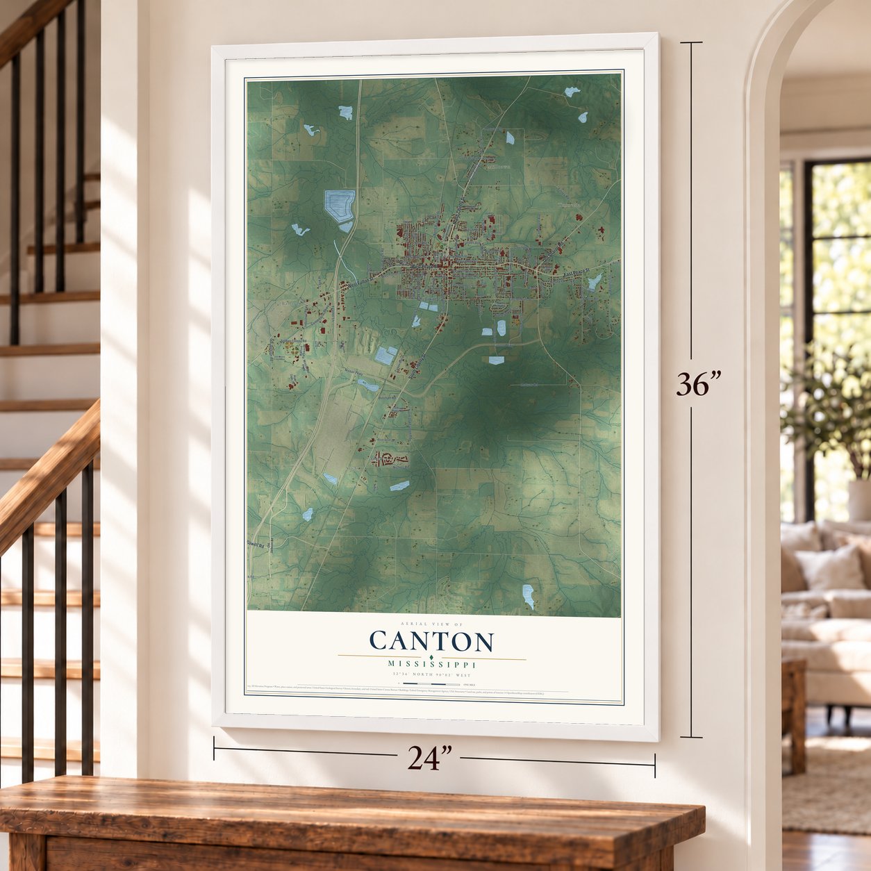
Three ways to hang it
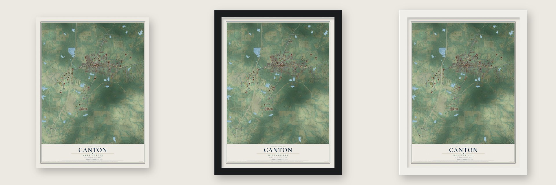
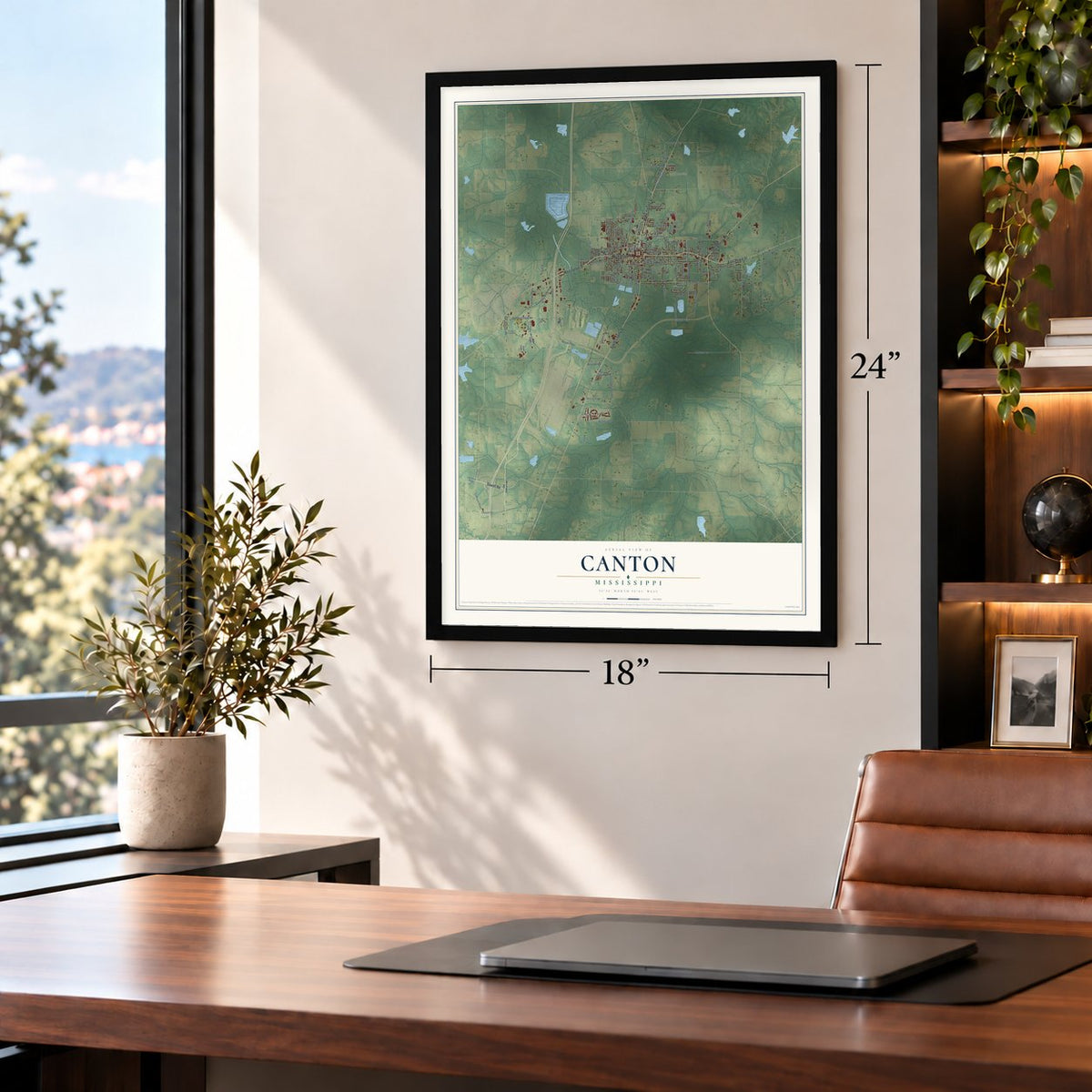
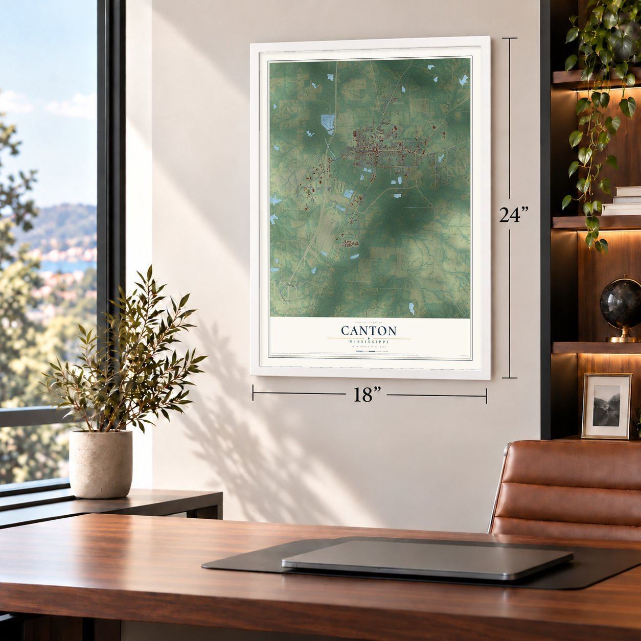
Unframed archival matte, a black wood frame or a white wood frame.
Up close
Geography Worth Displaying
This map was created using accurate cartographic data and authoritative geographic sources, including the U.S. Geological Survey and the Census Bureau. The map brings together terrain, waterways, roads, and building detail. The majority of the streets are labeled, houses are accurately depicted, and the topography is derived from government sources. Combining local data with carefully composed color and shading leads to this beautifully detailed Canton artwork for your wall.
Rather than simply showing street outlines, we’ve included as many of the street names as we could reasonably fit on the map while keeping their names legible. Zoom in on the high resolution preview to see exactly what’s on the map. We truly set out to create a statement piece for anyone who loves Canton. So whether it’s for you, or a gift for someone you love, we hope this map of Canton brings back fond memories.
Read the story behind this map of Canton, Mississippi from 2026.

About Canton, Mississippi
Canton is a city of 10,948 people and the county seat of Madison County, which was formed in 1828 and named for President James Madison. The town was laid out on a rolling, well-drained site near the middle of the county, and the Legislature incorporated it in 1836. Two years later it had 300 white residents and 100 Black residents, along with a courthouse, a jail, one church and a female academy.
Trade grew quickly. By that same year Canton had two hotels, ten dry goods stores and two banks, one of them a branch of the Commercial Bank of Natchez with $600,000 in capital, and the Canton Male Academy followed in 1848. No major battle was fought here in the Civil War, but the town mattered as a rail and supply center. Union troops invaded it twice, and so many wounded soldiers were treated here or moved through that Canton has a large Confederate cemetery. By 1900 the city on the Illinois Central main line counted 3,404 people.
“It seems to have been more litigious than diseased at this early period, with sixteen attorneys and only six physicians.”
- The courthouse of 1852Canton built its brick and stone Madison County Courthouse in 1852, in the middle of a four-acre plot. Its Georgian design often turns up in photographic exhibits of the South, and the square around it became a historic shopping district and the home of the Canton Flea Market. The courthouse joined the National Register in 1982.
- The Freedom House of 1963Canton's civil rights movement started with voter registration drives in the 1950s. In 1963 grocers George and Rembert Washington let George Raymond, an organizer for the Congress of Racial Equality, live and work in one of their rental houses. Segregationists made the Freedom House a target, but CORE still uses it. Activists here also ran a boycott and a Freedom School, and Canton native Annie Devine helped organize the Mississippi Freedom Democratic Party.
- Elmore James and The HollowThe blues grew up in the juke joints of Hickory Street, which locals call The Hollow. Elmore James, a familiar face in town, learned electronics at a radio repair shop on that street and went on to shape the electric slide guitar. A Mississippi Blues Trail marker on Hickory Street now honors him, and Governor Haley Barbour spoke at its dedication.
- A sulphur well against feverIn Canton's early years a town well gave sulphur water of unusually good quality. People drank it freely through the hot months, and it was said to keep the town almost free of malarial fevers.
Find your street
Names on the Canton map
Every name below is printed on this map. Look for your street, your school, the park where you played, or the pond down the road.
Places and landmarks4
- Milltown
- Turnetta
- Sloan
- Ballard
Streets and roads130
- North Liberty Street
- Sowell Road
- West Peace Street
- South Liberty Street
- East Peace Street
- West Fulton Street
- Old Sharon Road
- West North Street
- Green Acres Road
- Yandell Avenue
- South Monroe Street
- Industrial Parkway
- Nissan Parkway
- Canton Parkway
- Soldier Colony Road
- East Dinkins Street
- Hart Road
- East Academy Street
- Finney Road
- Glenfield Road
- Nichols Road
- Covington Drive
- Calhoun Parkway
- Country Club Road
- Commerce Avenue
- Old Jackson Road
- McGraw Road
- East Fulton Street
- North Railroad Street
- McBride Road
Show all 130 streets
- East Center Street
- South Union Street
- Woodland Drive
- West Dinkins Street
- North Old Canton Road
- Feather Lane
- Lutz Avenue
- Woodale Drive
- Avondale Road
- Sunset Drive
- Dobson Avenue
- Tupelo Street
- East Semmes Street
- Commercial Parkway
- Hart Street
- East North Street
- Welch Street
- Cameron Street
- King Ranch Road
- Lincoln Street
- South Walnut Street
- Penn Road
- Miller Street
- Church Road
- Links Drive
- Cook Place
- Cedar Street
- Cowan Street
- Weems Drive
- Van Buren Street
- Morgan Road
- Katherine Drive
- Barfield Street
- Cisne Avenue
- Industrial Drive
- Butchart Road
- Wilson Street
- Linda Drive
- Hill Street
- Alice Scott Drive
- Watford Parkway Drive
- North Kathy Circle
- Canton One Drive
- Lyon Street
- West Franklin Street
- North Hickory Street
- Lee Street
- Cross Street
- North Liberty Street Extended
- Steen Lane
- Country Club Drive
- Lakeshire Parkway
- North Union Street
- Boyd Street
- Meadowlark Drive
- Plummer Drive
- Goodson Road
- River Oaks Drive
- Parker Street
- Jackson Ridge Road
- Isabella Street
- North Hargon Street
- Mississippi Parkway
- Frost Street
- Cauthen Street
- Chinn Drive
- Matties Drive
- Fox Lane
- James Avenue
- Trafton Avenue
- Gus Street
- Frey's Lane
- Jones Street
- Plum Street
- Northgate Drive
- North Union Street Extended
- South Canal Street
- Trolio Street
- Trigg Hill Drive
- Rosebud Drive
- South Hargon Street
- Grant Avenue
- Cherry Street
- Kennedy Street
- Denson Street
- Park Drive
- Wood Street
- West Academy Street
- Calhoun Station Parkway
- Johnson Street
- Hosley Street
- John Bennie Smith Drive
- Old Airport Road
- Nancy Drive
- Ricks Drive
- Dowdle Drive
- Smith Vaniz Court
- Anderson Road
- Virlilia Road
- Tex Street
Names are listed as they appear on the printed map. Zoom into the product photos to find them.
The art of mapping a place
How This Map Was Made
Real places. Remarkable detail. Discover the layers that turn geographic data into a map of home.

The view from above
Aerial imagery reveals the character of the land: woodland, open fields, and the patterns of a place.

The shape of the land
Elevation data brings hills, valleys, and subtle changes in the landscape into view.

The details of home
Roads, waterways, and building footprints come together to make the map feel unmistakably local.

Geography becomes art
Considered color, shading, and typography bring the layers together in a map made for your wall.


Process illustrated with Mendon, Massachusetts. Aerial imagery: USDA NAIP. Terrain: USGS 3D Elevation Program. Map details and finished artwork: KNOWOL.
The Details
About This Print
Choose an archival matte print, or a black or white Ayous wood frame. The archival matte print is unframed.
Select your size and finish above to see the matching product image and price.
Materials & Craftsmanship
A contemporary map with the character of a classic atlas, printed on archival matte paper. Optional frames are made from Ayous wood.
Your printed map does not include the watermark shown in the full-map preview.
Shipping & Delivery
Free shipping within the United States. Every print is made to order in the USA.
Buying a gift? Add a note in your cart and we'll include it. We never put prices in the package.
Prints ship within 2 to 3 business days. Allow 7 to 10 days total from ordering for delivery. Timing may vary during holidays or periods of high order volume.
Read our shipping policy.
Returns and damaged prints
Each print is made to order. Change-of-mind refunds are not available after production.
If your print arrives damaged, misprinted or incorrect, contact support@knowol.com within 30 days of receiving it. Include your order number, photos and a description of the issue.
Read our full refund and replacement policy. For questions about your order, email support@knowol.com.
Find your town
Looking for another city?
Find a map of home in our Mississippi collection, or any town in the country.
Nearby
Maps of towns near Canton
Know someone from one of these towns? Their map makes a great gift.
 Gluckstadt
, Mississippi
From $39.99See the map
 Madison
, Mississippi
From $39.99See the map
 Ridgeland
, Mississippi
From $39.99See the map
More maps nearby: Kearney Park, Flora, Flowood, Bentonia and Benton.