
Search for another town

Free U.S. delivery 7 to 10 days after you order
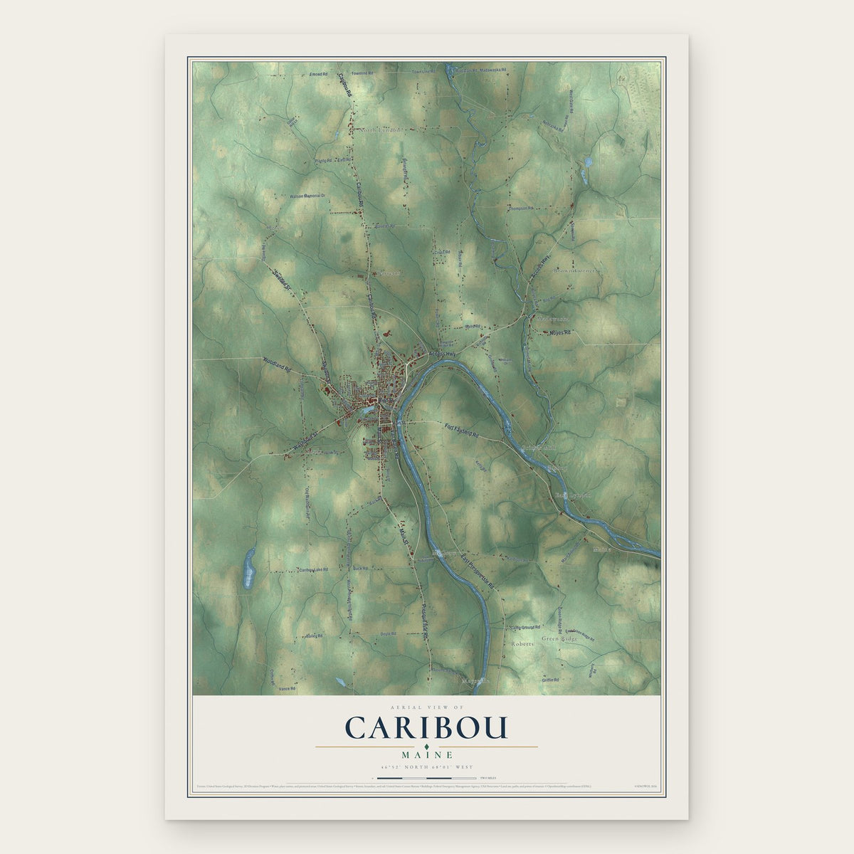
Caribou, Maine Map Art
Building by building, with labeled streets and shaded relief.
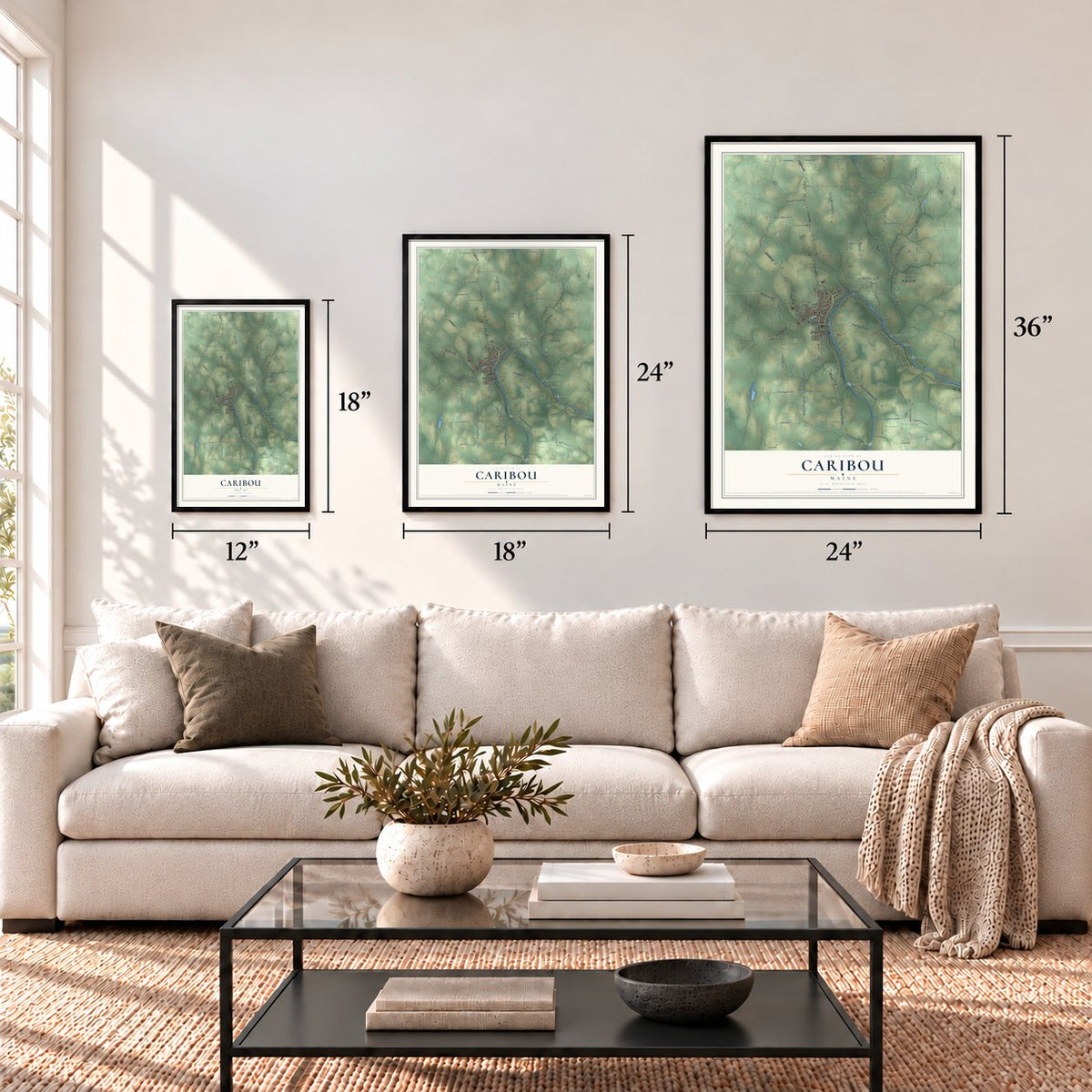
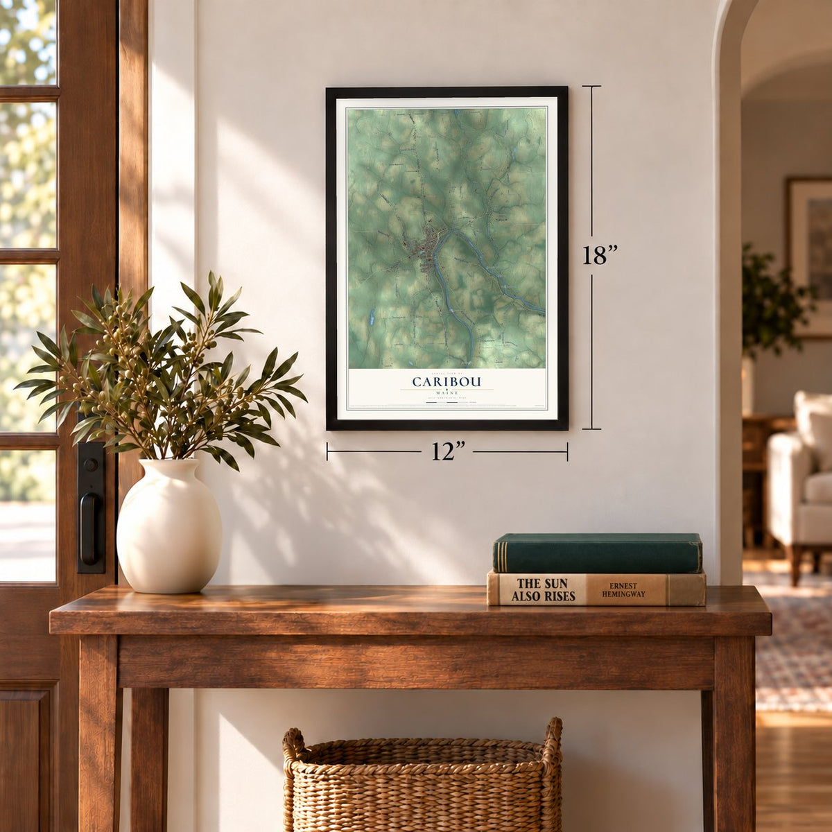
12" x 18" Archival Matte Print
A Map of Home. A Work of Art.
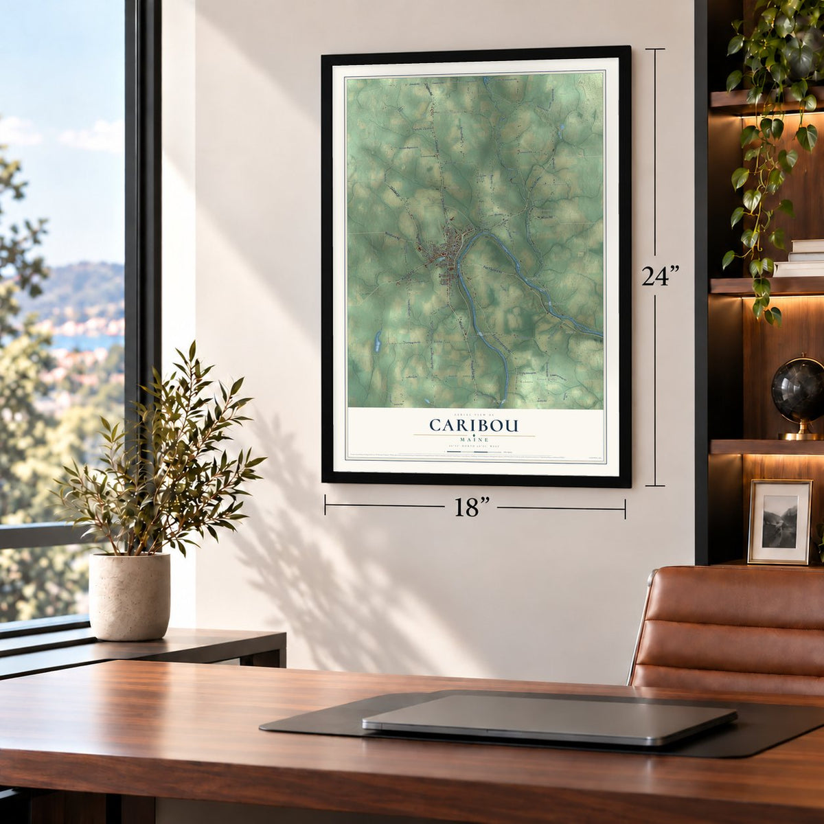
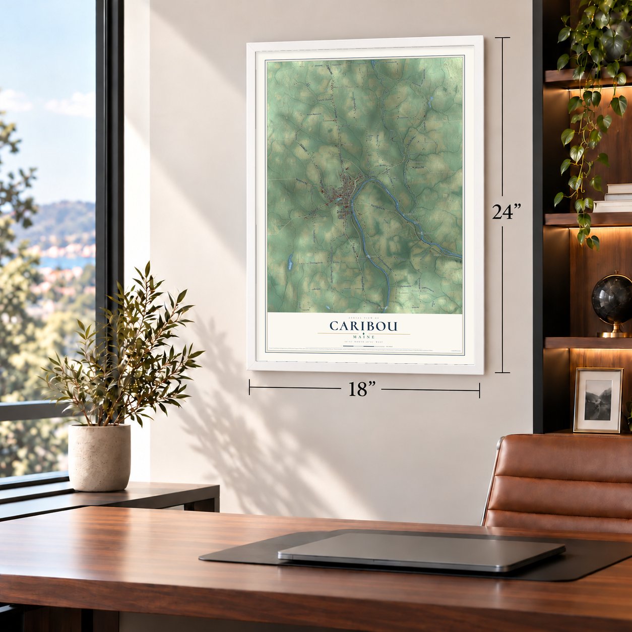
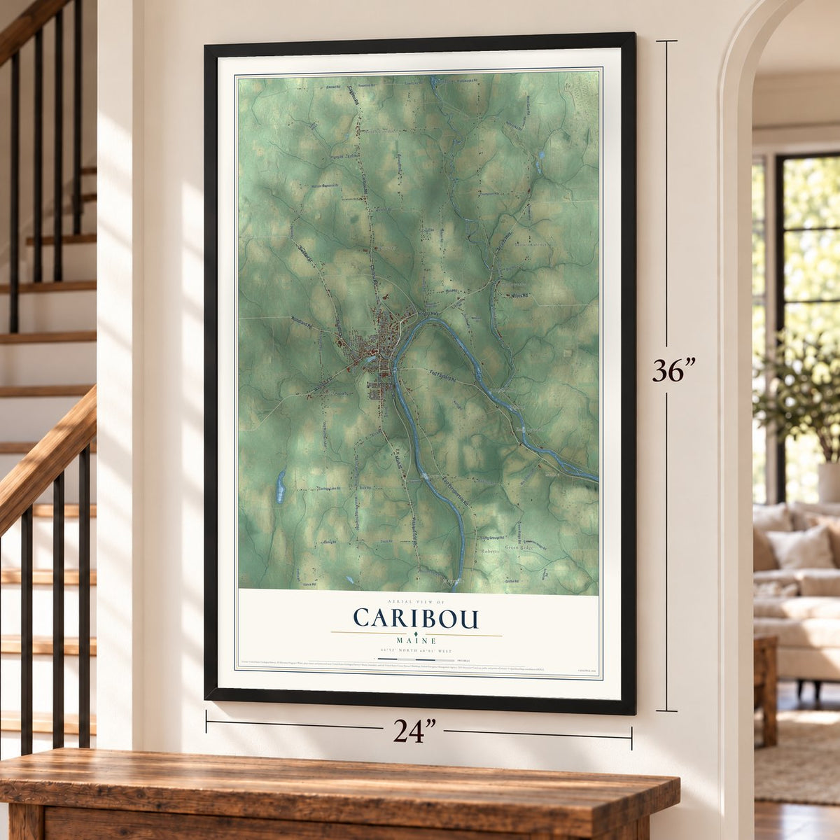
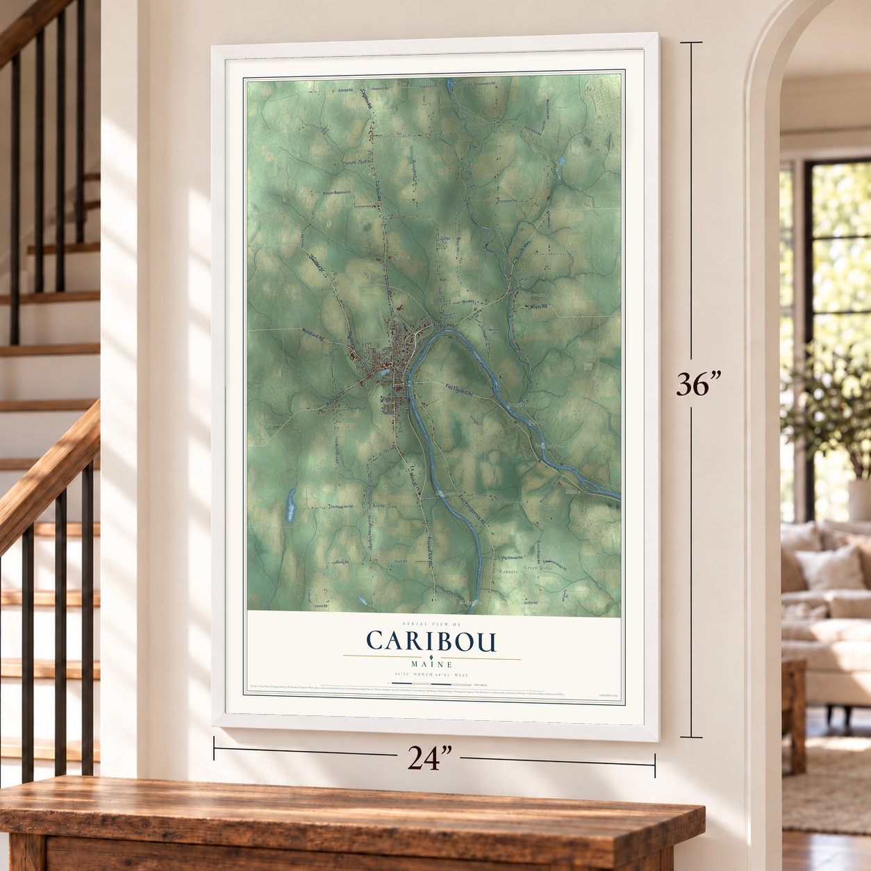
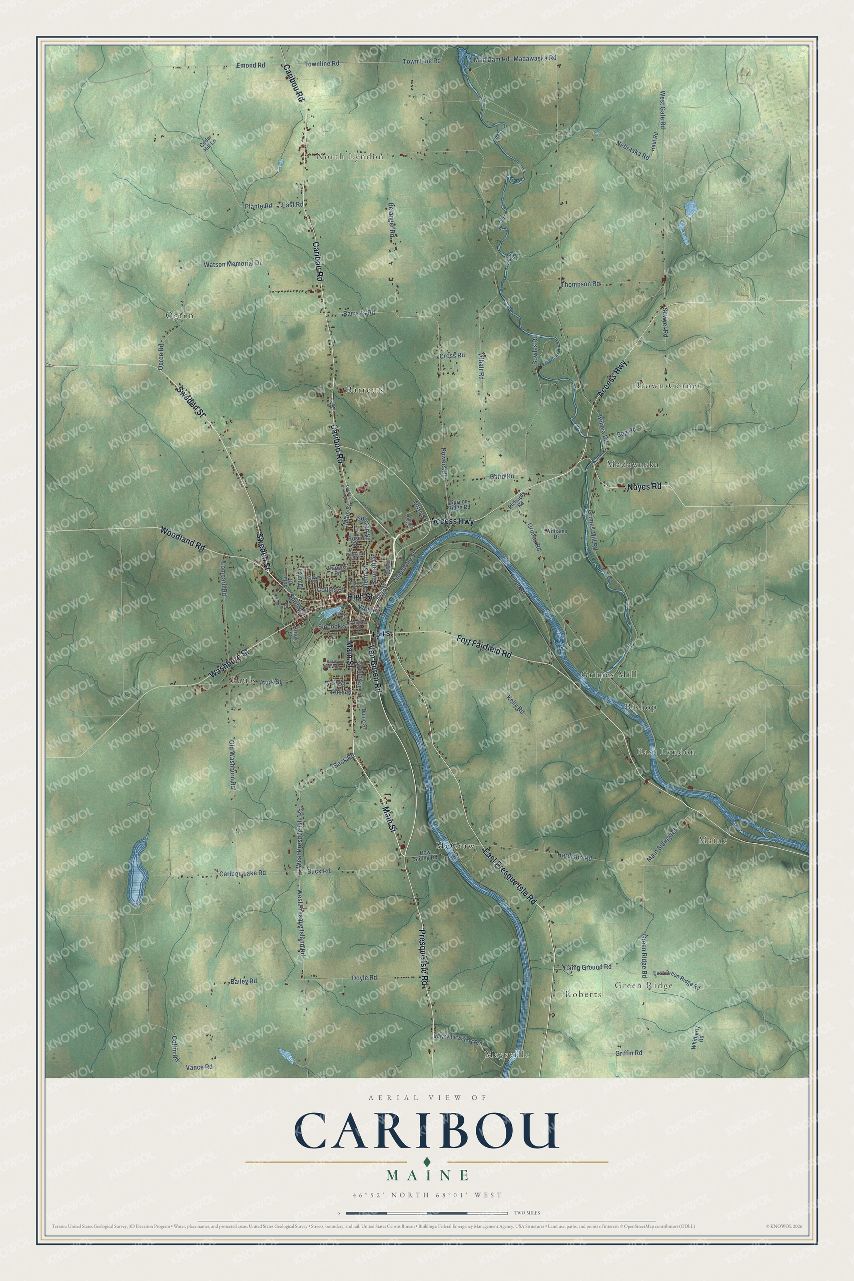
Explore Caribou, Maine from a whole new perspective. Created using aerial imagery and detailed geographic data, this map captures Caribou building by building, with labeled streets, familiar landmarks, and shaded topographical relief that highlights the natural contours of the landscape.
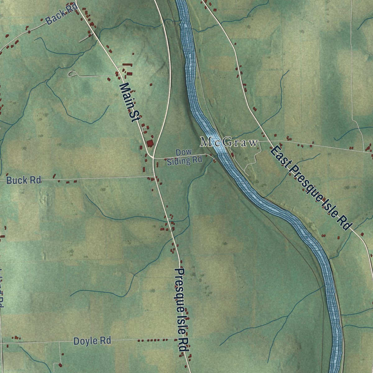
Combining modern data with the timeless character of a vintage atlas, this map is just as interesting up close as it is beautiful on the wall. Whether you grew up in Caribou, spent memorable years there, or call it home today, this unique map is a great way to celebrate a place that means something to you. Zoom in on the preview to look for your street, and then order a print to put your memories on the wall.
Three ways to hang it
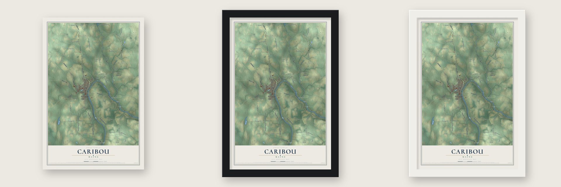
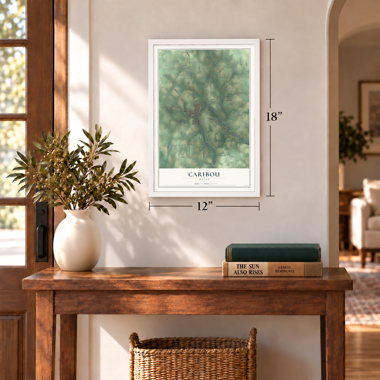
Unframed archival matte, a black wood frame or a white wood frame.
Up close
Geography Worth Displaying
This map was created using accurate cartographic data and authoritative geographic sources, including the U.S. Geological Survey (USGS) and FEMA. The map brings together terrain, waterways, roads, and building detail. The majority of the streets are labeled, houses are accurately depicted, and the topography is derived from government sources. Combining local data with carefully composed color and shading leads to this beautifully detailed Caribou artwork for your wall.
Rather than simply showing street outlines, we’ve included as many of the street names as we could reasonably fit on the map while keeping their names legible. Zoom in on the high resolution preview to see exactly what’s on the map. We truly set out to create a statement piece for anyone who loves Caribou. So whether it’s for you, or a gift for someone you love, we hope this map of Caribou brings back fond memories.
Explore the full map of Caribou, Maine and read about the local places it shows.

Find your street
Names on the Caribou map
Every name below is printed on this map. Look for your street, your school, the park where you played, or the pond down the road.
Places and landmarks14
- Maysville
- Roberts
- Green Ridge
- North Lyndon
- Maine
- Madawaska
- Ogren
- Pauls
- Brown Corner
- Grimes Mill
- McGraw
- Barretts
Show all 14 places
- East Lyndon
- Bishop
Streets and roads95
- Access Highway
- Van Buren Road
- Main Street
- Sweden Street
- Washburn Street
- Fort Fairfield Road
- High Street
- Woodland Road
- East Presque Isle Road
- Presque Isle Road
- Caribou Road
- Noyes Road
- Sawyer Road
- Belanger Road
- Powers Road
- Town Line Road
- Limestone Street
- Emond Road
- Water Street
- Spring Street
- Madawaska Road
- Green Ridge Road
- Kelly Road
- Albair Road
- Grimes Road
- Back Road
- West Presque Isle Road
- River Road
- West Gate Road
- Grimes Mill Road
Show all 95 streets
- Old Washburn Road
- East Road
- Plante Road
- York Street
- Watson Memorial Drive
- Hardison Road
- Bowles Road
- Caribou Lake Road
- Townline Road
- Baird Road
- Bog Road
- Doyle Road
- Ogren Road
- Vance Road
- Nebraska Road
- Lombard Road
- Buck Road
- West Presque Island Road
- Barretts Road
- Thompson Road
- Camp Ground Road
- Bailey Road
- Mad Dam Road
- Main Siding Road
- Bennett Drive
- Glenn Street
- Sincock Street
- Griffin Road
- Cross Road
- Solman Street
- Collins Street
- Belyea Road
- Lynn Drive
- Coffin Road
- Russ Street
- Otter Street
- Fort Street
- Dow Siding Road
- Maysville Siding Road
- East Green Ridge Road
- Haul Road
- Spruce Ridge Road
- Williams Drive
- Lafayette Street
- Rose Street
- Richards Road
- Harvest Road
- Whitherly Road
- Vesta Drive
- Brook Street
- Donie Street
- Cedar Hill Lane
- Solar Drive
- Aldrich Drive
- Railroad Street
- Park Street
- Paris Snow Drive
- Vaughn Street
- Clover Street
- Midland Street
- Superior Drive
- Old Van Buren Road
- Westwind Drive
- Oullette Street
- Roberts Street
Names are listed as they appear on the printed map. Zoom into the product photos to find them.
About Caribou, Maine
Caribou is a city of 7,396 people in Aroostook County, and it is the second largest city in the county. The land began as Township T13R2, which became Letter H Township in 1848 and was renamed the Town of Lyndon in 1859.
In 1869 Lyndon grew larger when it took in the Eaton Grant and Letter I Plantation, which people also called Forestville. The town adopted the name Caribou in 1877 and became the City of Caribou in 1968. Today it serves the farming and tourism trades of the region, and a National Weather Service forecast office operates here.
- A balloon over the AtlanticOn September 16, 1986, Joe W. Kittinger lifted off from Caribou and made the first solo balloon flight across the Atlantic Ocean.
- A church named for Bessie GrayCaribou's Methodists organized in 1860 and were first served by circuit ministers. In 1912 they began a Gothic Revival church at the corner of Sweden and Prospect streets, naming it for Bessie Gray, the pastor's wife, who worked hard to get it built. A Seth Thomas clock keeps time in its tower, and the Gray Memorial United Methodist Church and Parsonage joined the National Register in 1995.
- Nylander's museum of 1939Olof O. Nylander came from Sweden, taught himself natural history and collected specimens for the U.S. Geological Survey. A WPA crew built a museum for his collections at 657 Main Street, and it was dedicated in 1939 with Nylander as its first curator. His collection has been kept whole, down to Aroostook County shells no bigger than a pinhead, though the city has closed the museum until further notice.
- A senator from a lumber familySusan Collins was born in Caribou and led the student council at Caribou High School. Her family still runs the lumber business that Samuel W. Collins, her great-great-great-grandfather, founded in 1844, and both of her parents took turns as mayor of Caribou. Maine voters later sent her to the U.S. Senate, and her wedding took place at Gray Memorial in 2012.
- Electric cars in 1912The Aroostook Valley Railroad reached Caribou in 1912. It carried passengers on electric interurban cars that ran north to the city from Presque Isle.
Keep exploring Maine
Caribou is one of 536 Maine towns we've mapped. Every dot on the map is a print of its own.
The search covers every state, Maine first.
Near Caribou
Order 2 or more town maps and save 10%. Shown in the size and finish you picked above, so they hang as a set.
- Fort Fairfield 12" x 18" / Archival Matte Print $39.99
- Limestone 12" x 18" / Archival Matte Print $39.99
- Washburn 12" x 18" / Archival Matte Print $39.99


More maps nearby: Woodland, Presque Isle, Mapleton, New Sweden and Caswell.
The art of mapping a place
How This Map Was Made
Real places. Remarkable detail. Discover the layers that turn geographic data into a map of home.

The view from above
Aerial imagery reveals the character of the land: woodland, open fields, and the patterns of a place.

The shape of the land
Elevation data brings hills, valleys, and subtle changes in the landscape into view.

The details of home
Roads, waterways, and building footprints come together to make the map feel unmistakably local.

Geography becomes art
Considered color, shading, and typography bring the layers together in a map made for your wall.


Process illustrated with Mendon, Massachusetts. Aerial imagery: USDA NAIP. Terrain: USGS 3D Elevation Program. Map details and finished artwork: KNOWOL.
The Details
About This Print
Choose an archival matte print, or a black or white Ayous wood frame. The archival matte print is unframed.
Select your size and finish above to see the matching product image and price.
Materials & Craftsmanship
A contemporary map with the character of a classic atlas, printed on archival matte paper. Optional frames are made from Ayous wood.
Your printed map does not include the watermark shown in the full-map preview.
Shipping & Delivery
Free shipping within the United States. Every print is made to order in the USA.
Buying a gift? Add a note in your cart and we'll include it. We never put prices in the package.
Prints ship within 2 to 3 business days. Allow 7 to 10 days total from ordering for delivery. Timing may vary during holidays or periods of high order volume.
Read our shipping policy.
Returns and damaged prints
Each print is made to order. Change-of-mind refunds are not available after production.
If your print arrives damaged, misprinted or incorrect, contact support@knowol.com within 30 days of receiving it. Include your order number, photos and a description of the issue.
Read our full refund and replacement policy. For questions about your order, email support@knowol.com.