
Search for another town

Free U.S. delivery 7 to 10 days after you order
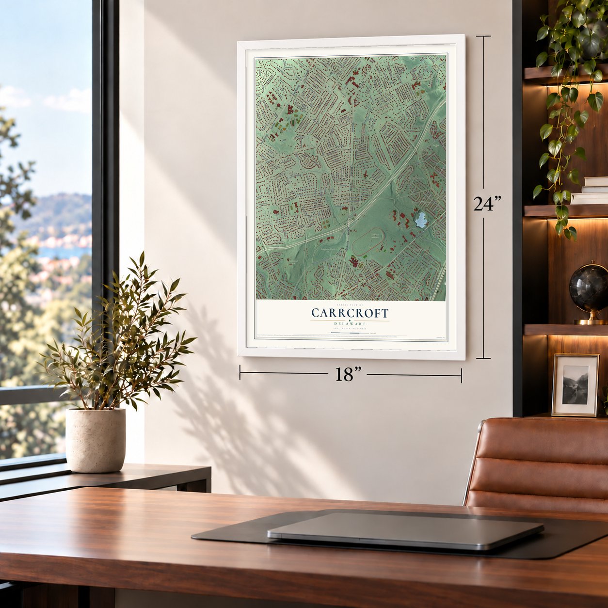
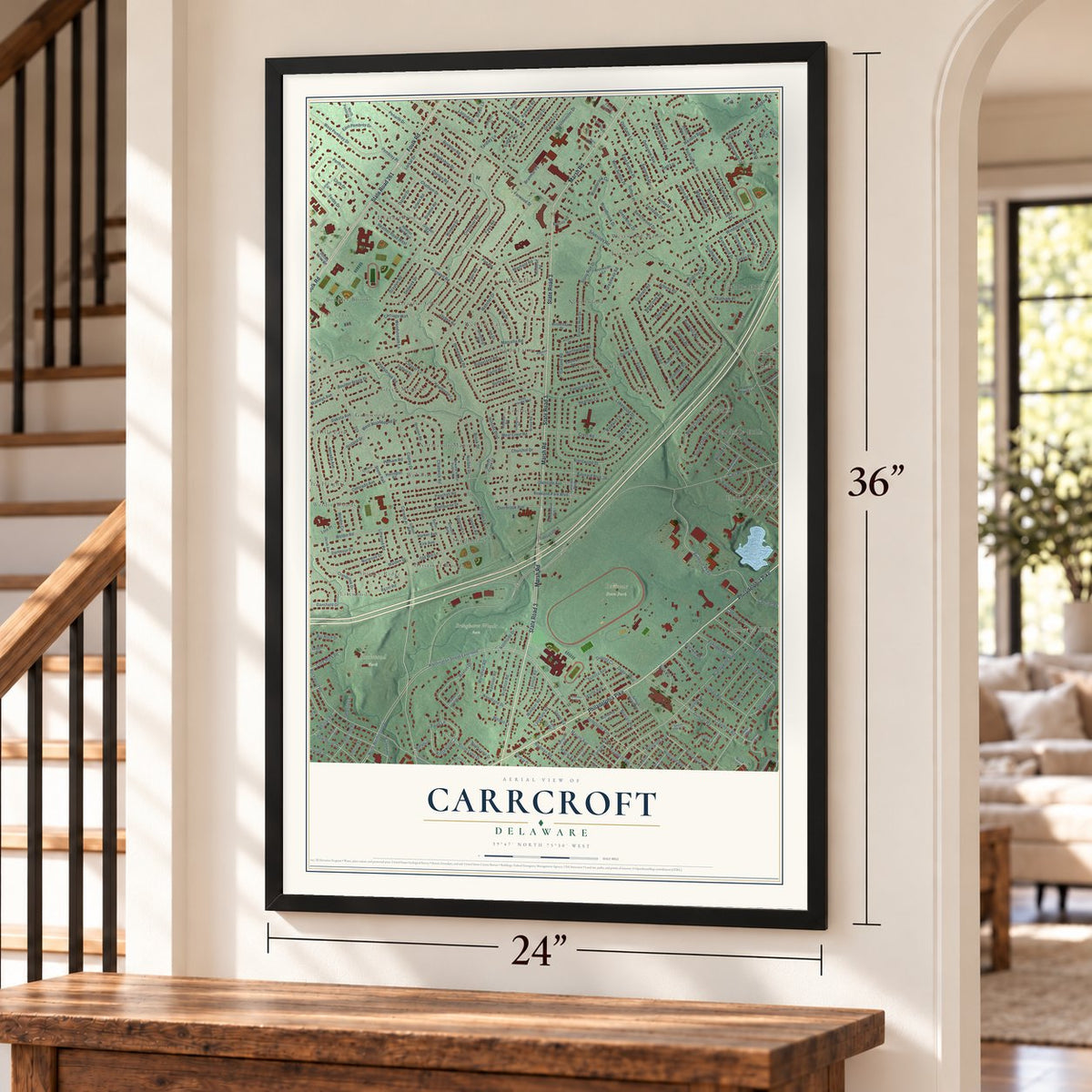
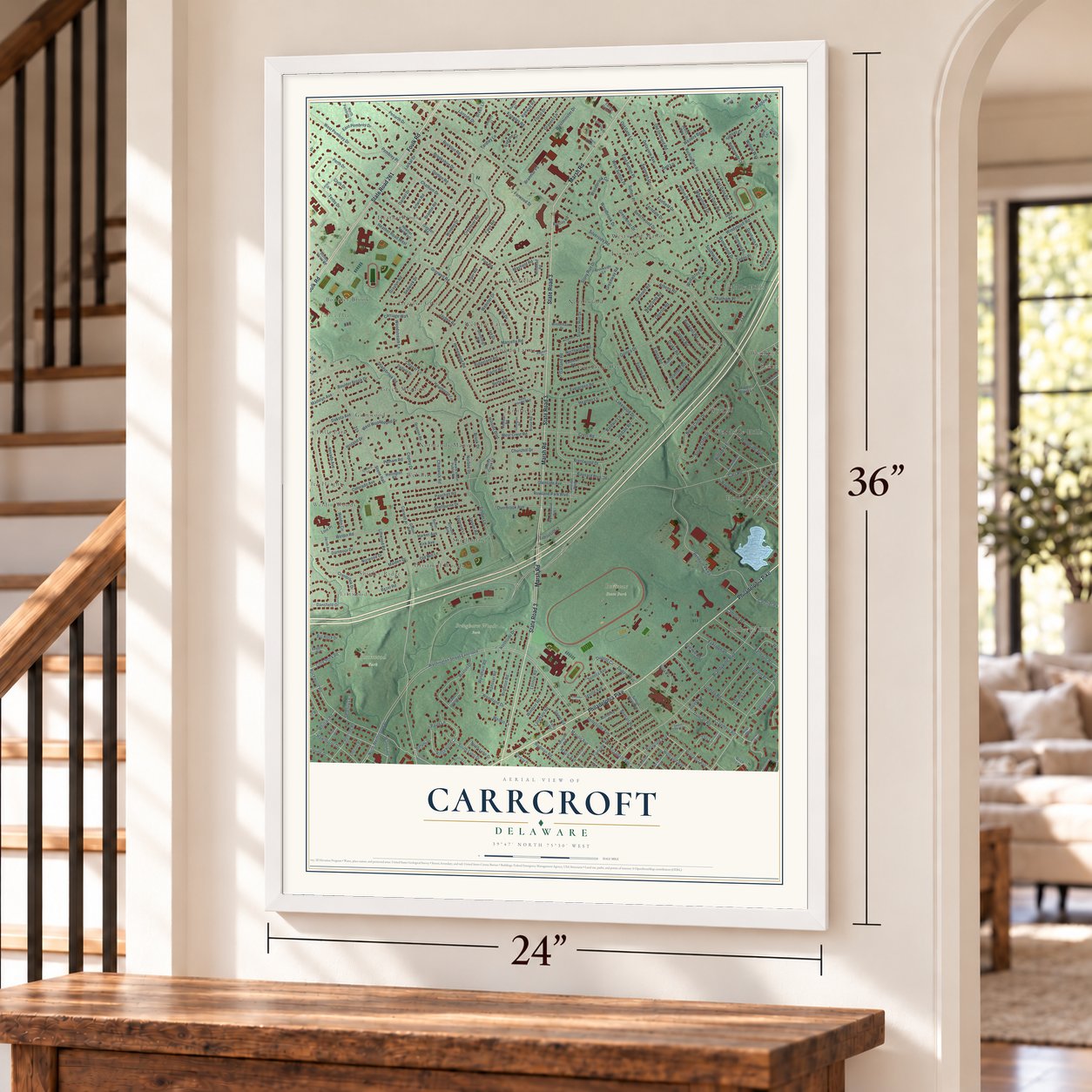
Carrcroft, Delaware Map Art
Building by building, with labeled streets and shaded relief.
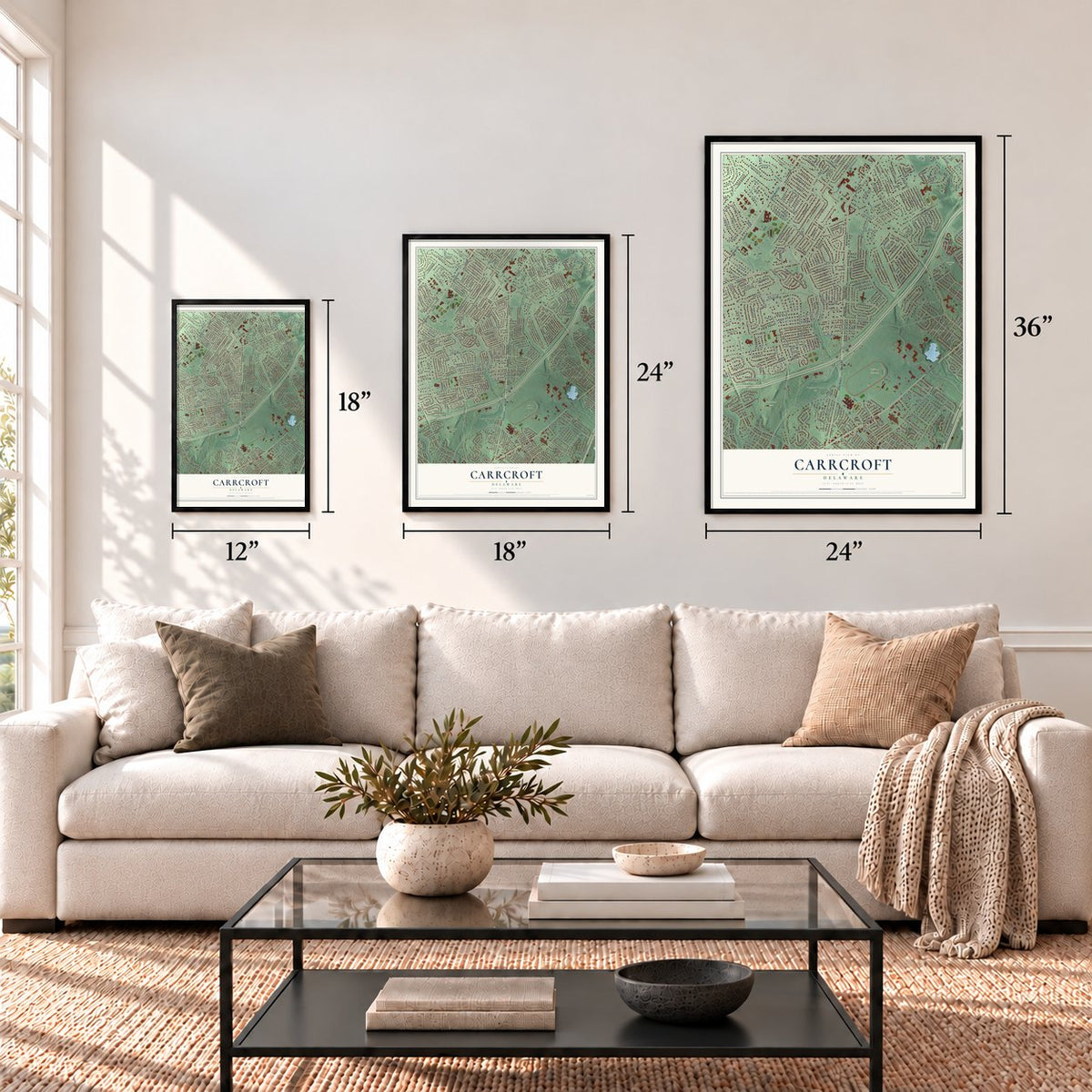
12" x 18" Archival Matte Print
A Map of Home. A Work of Art.
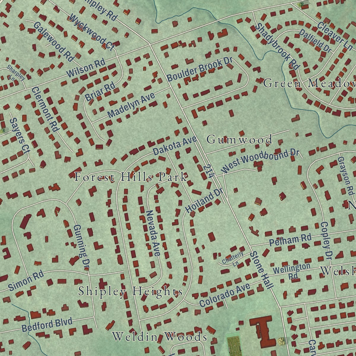
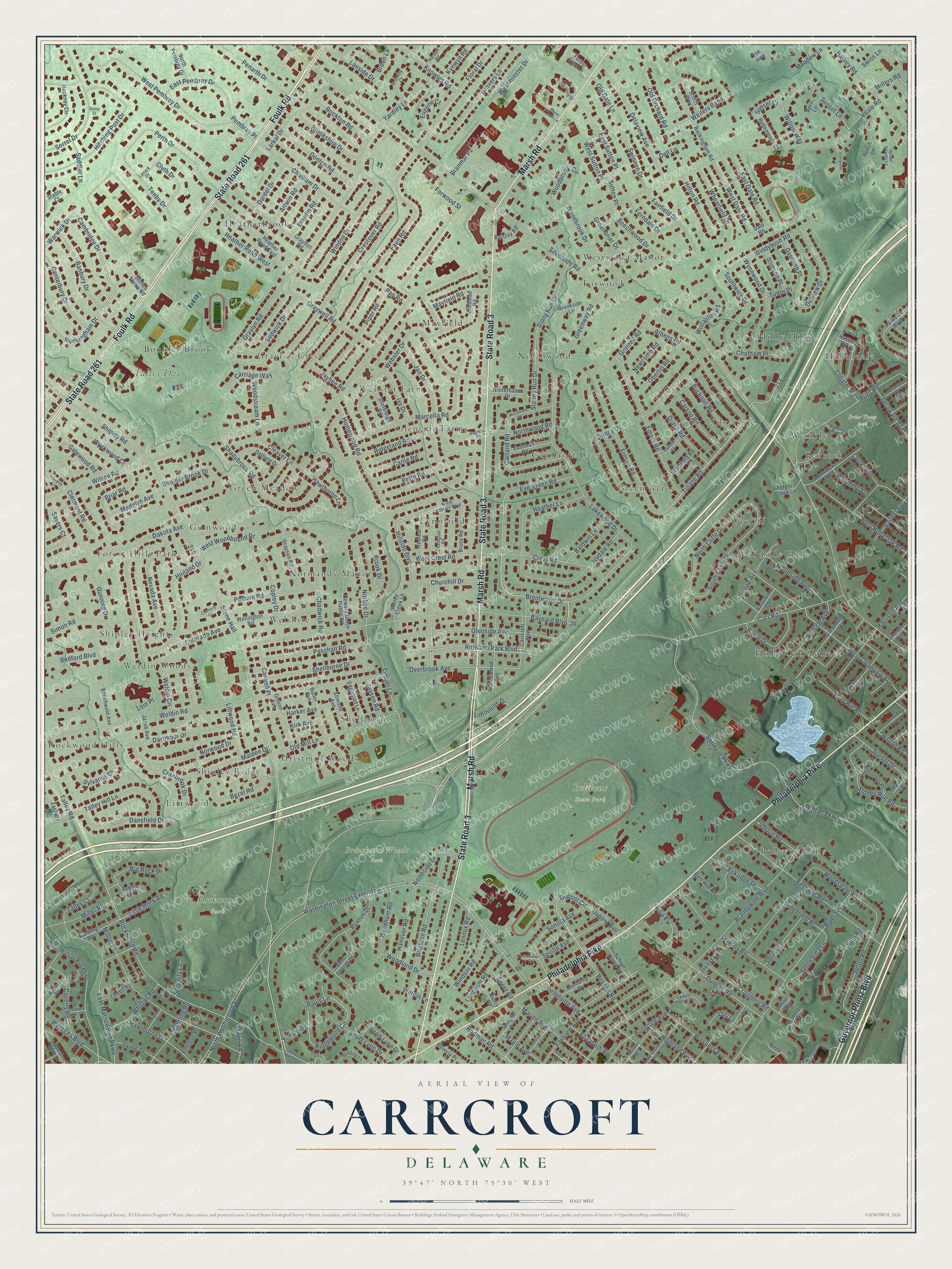
Explore Carrcroft, Delaware from a whole new perspective. Created using aerial imagery and detailed geographic data, this map captures Carrcroft building by building, with labeled streets, familiar landmarks, and shaded topographical relief that highlights the natural contours of the landscape.
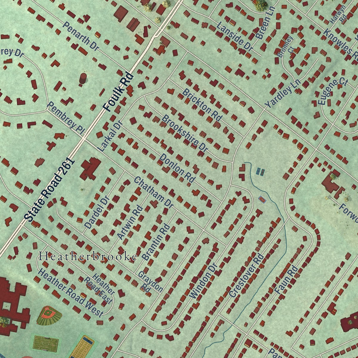
Combining modern data with the timeless character of a vintage atlas, this map is just as interesting up close as it is beautiful on the wall. Whether you grew up in Carrcroft, spent memorable years there, or call it home today, this unique map is a great way to celebrate a place that means something to you. Zoom in on the preview to look for your street, and then order a print to put your memories on the wall.
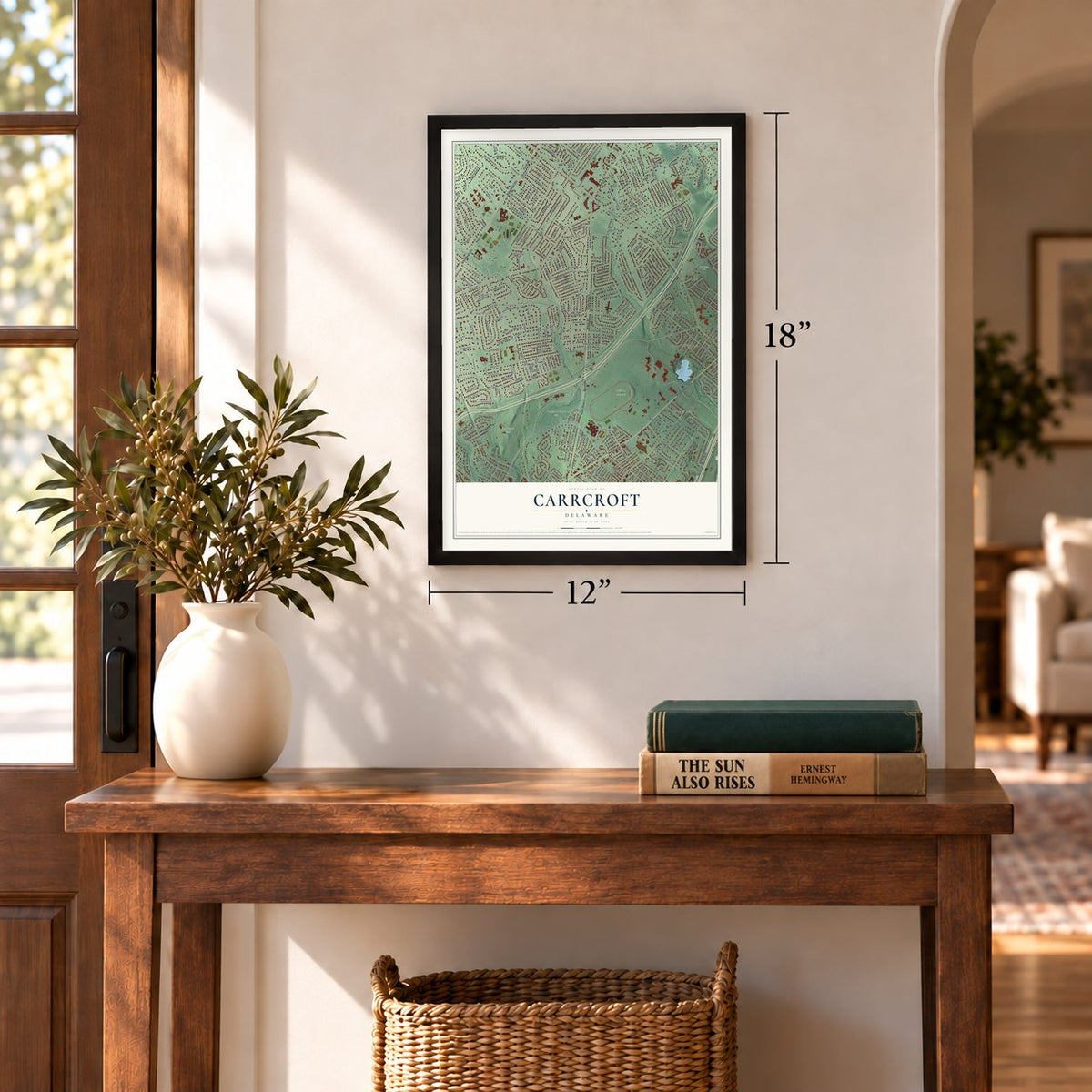
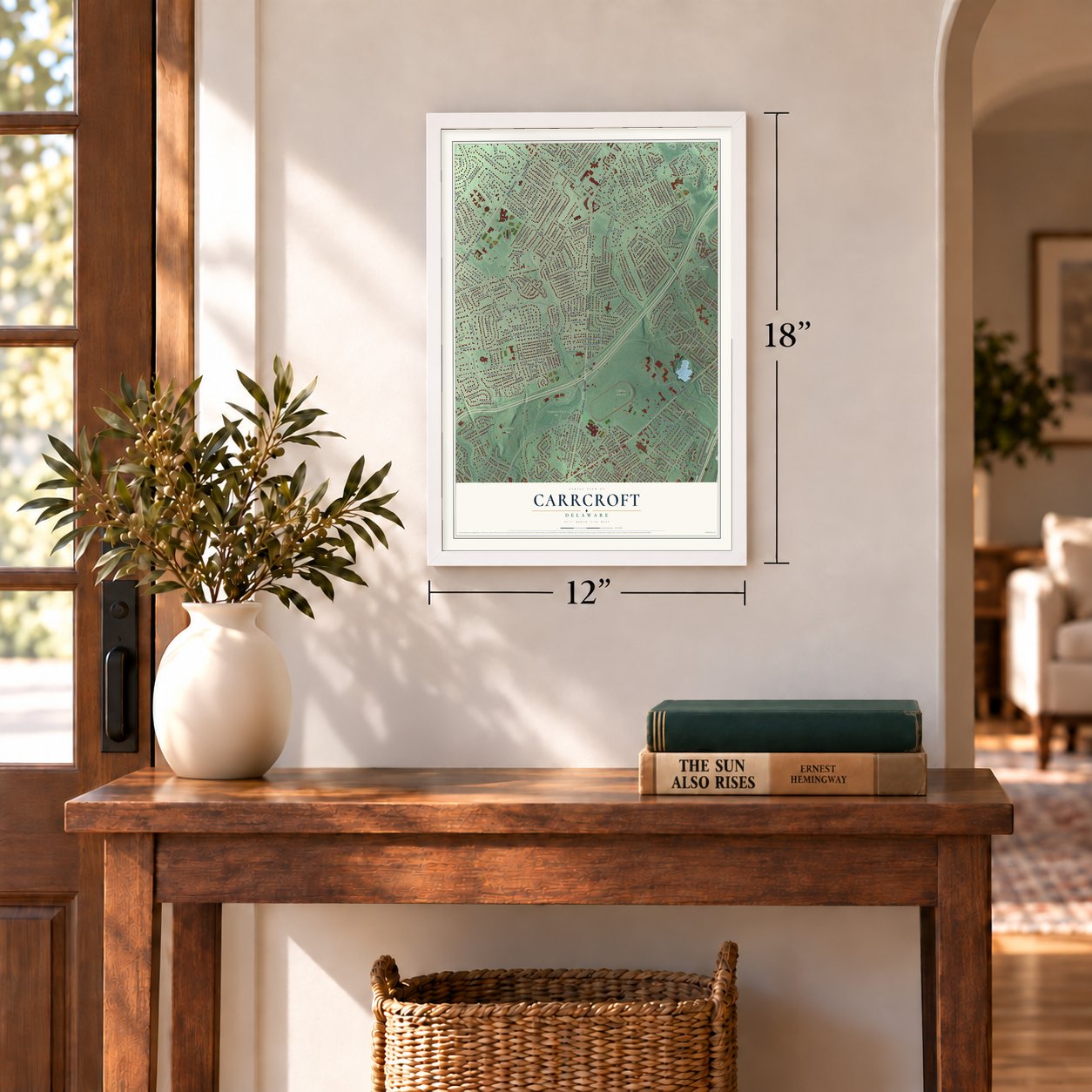
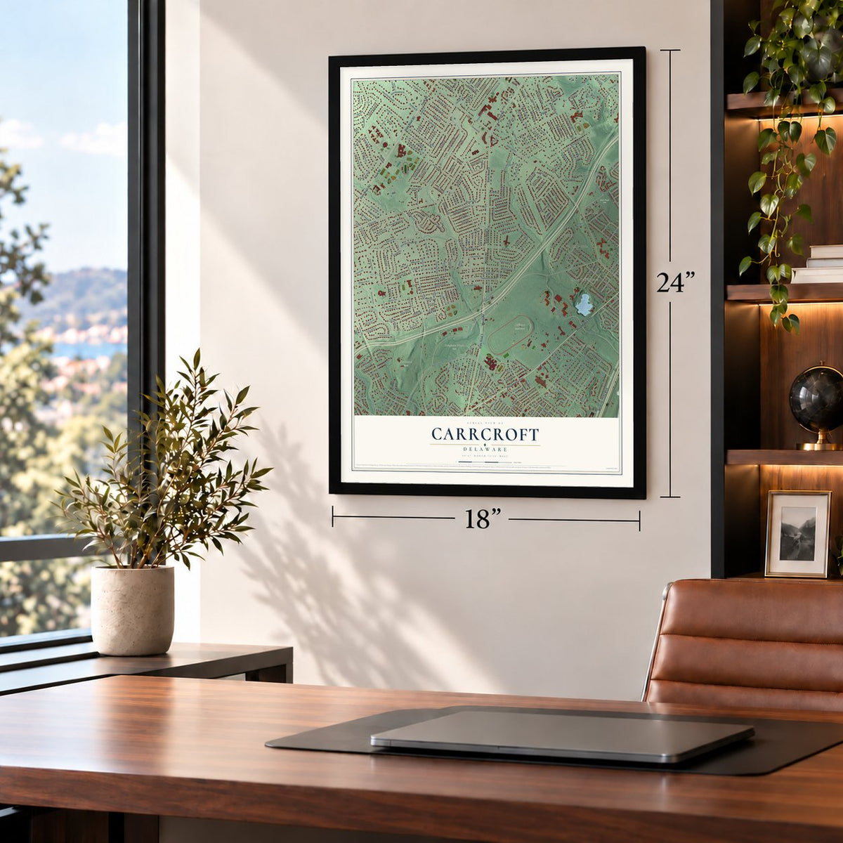
Three ways to hang it
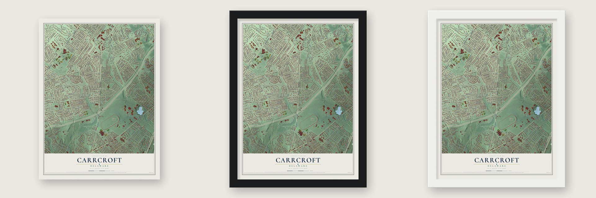
Unframed archival matte, a black wood frame or a white wood frame.
Up close
Geography Worth Displaying
This map was created using accurate cartographic data and authoritative geographic sources, including the U.S. Geological Survey and the Census Bureau. The map brings together terrain, waterways, roads, and building detail. The majority of the streets are labeled, houses are accurately depicted, and the topography is derived from government sources. Combining local data with carefully composed color and shading leads to this beautifully detailed Carrcroft artwork for your wall.
Rather than simply showing street outlines, we’ve included as many of the street names as we could reasonably fit on the map while keeping their names legible. Zoom in on the high resolution preview to see exactly what’s on the map. We truly set out to create a statement piece for anyone who loves Carrcroft. So whether it’s for you, or a gift for someone you love, we hope this map of Carrcroft brings back fond memories.
Read the story behind this map: Detailed Map of Carrcroft, Delaware.
Find your street
Names on the Carrcroft map
Every name below is printed on this map. Look for your street, your school, the park where you played, or the pond down the road.
Places and landmarks38
- Bellevue State Park
- Bringhurst Woods Park
- Prior Tract Park
- Rockwood Park
- Talley Day Park
- Holly Oak Terrace
- Mayfield
- Forest Hills Park
- Lynnfield
- Westwood Manor
- Shellburne
- Green Acres
Show all 38 places
- Normandy Manor
- Rockwood Hills
- Graylyn Crest
- Heatherbrooke
- Weldin Woods
- Bellevue Hills
- Glenside Farms
- Shipley Ridge
- Woodside Hills
- Silverside
- Welshire
- Gumwood
- Holly Hills
- Gristmill Woods
- Green Meadow
- Northwood
- Carrcroft Crest
- Liftwood
- Boulder Brook
- Penrock
- Webster Farm
- Forwood
- Wycliff
- Hillendale
- Wembly
- Shipley Heights
Streets and roads356
- Foulk Road
- State Road 261
- Marsh Road
- State Road 3
- Philadelphia Pike
- Governor Printz Boulevard
- Brentwood Drive
- Pembrey Place
- Dupont Circle
- Cambridge Drive
- Tulane Road
- Carr Road
- Hillside Boulevard
- North Lynn Drive
- Silverside Road
- Shipley Road
- Stone Hall
- Washington Street Extended
- Wilson Road
- Veale Road
- Weldin Road
- Baynard Boulevard
- Lakewood Drive
- Brandywine Boulevard
- Graylyn Road
- Faun Road
- Glenside Avenue
- Rowland Park Boulevard
- Rockwood Road
- Talley Road
Show all 356 streets
- Grinnell Road
- Bellevue Parkway
- West Clearview Avenue
- Webster Drive
- Homewood Road
- River Road
- Crestover Road
- Marcella Road
- Woodsdale Road
- North Washington Street
- Bellevue Road
- Ridgeland Road
- Gunning Drive
- Dakota Avenue
- Milton Drive
- Fresno Road
- Shadybrook Road
- East Matson Run Parkway
- North Cliffe Drive
- West Pembrey Drive
- Duncan Road
- Windybush Road
- Hitching Post Drive
- Stoney Run Drive
- Stony Run Drive
- Emory Road
- Windon Drive
- Cauffiel Parkway
- Prior Road
- Quincy Drive
- Bellefonte Avenue
- Athens Road
- Brighton Road
- Ivydale Road
- Delaview Avenue
- Pauls Lane
- Ridgewood Circle
- Weilers Bend
- Gravers Lane
- Sorrel Drive
- South Cliffe Drive
- Sylvanus Drive
- Shellburne Drive
- Old Mill Lane
- Perth Drive
- Evergreen Road
- Floral Drive
- Hoiland Drive
- Overbrook Avenue
- Crest Road
- Woodside Avenue
- Lindsey Road
- Branmar Pz
- Chadwick Road
- Woodland Drive
- Old Orchard Road
- Boulder Brook Drive
- Copley Drive
- West Holly Oak Road
- Ruxton Drive
- Fairview Avenue
- Bette Road
- Graywell Road
- Harvey Road
- Dartmoor Drive
- Beechwood Drive
- Delview Drive
- Chatham Drive
- Cranbrook Drive
- Southwick Drive
- Harrison Avenue
- Talley Hill Lane
- Nevada Avenue
- Paschall Road
- Stoney Run Road
- Tenby Drive
- Piper Road
- Heather Lane
- Marion Avenue
- Norbee Drive
- Wheatfield Drive
- Weldin Circle
- Cloister Road
- Woodbrook Circle
- Timber Lane
- Wynnwood Drive
- Pelham Road
- Jan Drive
- East Pembrey Drive
- Larkal Drive
- Woodbrook Drive
- Malden Drive
- Garland Road
- Sedwick Drive
- Donlon Road
- Banbury Drive
- Simon Road
- Wyoming Avenue
- Dansfield Drive
- Canterbury Drive
- Walton Road
- Rosedale Avenue
- Penarth Drive
- Fairfield Drive
- Heather Road West
- Willow Way
- West Lea Boulevard
- Hillside Avenue
- West Dale Road
- Prospect Avenue
- Greenway Road
- East Dale Road
- Coverly Road
- South Lynn Drive
- Harker Avenue
- Norwood Drive
- Hawthorne Drive
- Highland Avenue
- Briar Road
- Villa Road
- Brookshire Drive
- Seville Avenue
- Sonora Avenue
- Bezel Road
- Bucknell Road
- Carson Road
- Drake Road
- Hanover Road
- Cragmere Road
- Lennox Road
- Knowles Road
- Beeson Road
- West Crest Road
- Rockingham Drive
- Seton Road
- Laurel Avenue
- Miller Road
- Channing Road
- Greenbriar Drive
- Brook Drive
- Oberlin Road
- Hilltop Avenue
- Carlie Road
- Millers Road
- Wyckwood Court
- Windsor Road
- Wyndham Road
- Lanside Drive
- Pan Road
- Northwood Road
- Sunset Drive
- Whittier Road
- Brickton Road
- Bedford Boulevard
- Carriage Way
- Hilton Road
- Churchill Drive
- West Sutton Place
- Seton Villa Lane
- Holly Hill Road
- Mayfield Road
- Cleaver Lane
- Bell Hill Road
- East Sutton Place
- West Woodbound Drive
- Langham Road
- Sunset Lane
- Spring Lane
- Colorado Avenue
- Eskridge Drive
- Weldin Lane
- Rodman Road
- Madelyn Avenue
- Wollaston Road
- Chatham Place
- Northside Drive
- Elizabeth Avenue
- Swinnen Drive
- Clyth Drive
- Maple Avenue
- Big Rock Drive
- Baldwin Lane
- Newcomb Road
- Delaware Avenue
- Liftwood Road
- Danforth Place
- Galewood Road
- Westminster Drive
- Ivy Drive
- Woodstream Lane
- Carwell Place
- Irving Drive
- Old Gate Lane
- Dardel Drive
- Brantin Road
- Artwin Road
- Clermont Road
- Little Rock Road
- Yardley Lane
- Eugene Court
- Calhoun Road
- Talley Court
- Villa Place
- Greenfield Place
- Guest Lane
- Saddler Lane
- Ferndale Drive
- Stimson Place
- Loin Place
- Dupont Avenue
- Kynwyd Road
- Meadow Lane
- Jaybee Road
- Jayson Road
- Breen Lane
- Forwood Street
- Sayers Court
- Warwick Drive
- Hilltop Road
- Hawthorne Lane
- Swiss Lane
- Sunset Court
- Speer Road
- Limousine Drive
- Serenity Lane
- Stanford Road
- Kirk Avenue
- Tudor Place
- Lori Lane
- Dell Lane
- Sutton Place
- Mahaffy Drive
- West Matson Run Parkway
- Carrcroft Boulevard
- Graydon Road
- Wellington Road
- Heather Road East
- Buckingham Road
- Beechwold Avenue
- Pennrock Road
- Wynnewood Avenue
- Wayne Drive
- Winstead Road
- Greenhill Avenue
- Parkside Boulevard
- Stoneleigh Road
- Birch Lane
- Hackney Circle
- Gibson Avenue
- Grayson Road
- Newark Union Public Road
- Garfield Avenue
- Haven Road
- Butler Avenue
- Bruce Road
- Dalfield Drive
- Saint George Drive
- Allmond Avenue
- Eastman Road
- Edgeroad Lane
- Redleaf Road
- Pebble Drive
- Monterey Place
- Fielding Road
- School House Lane
- North Pembrey Drive
- Bellemeade Court
- Brookside Lane
- Winterhaven Drive
- West 39th Street
- Lowell Road
- Scotts Way
- Boothby Drive
- Beverly Place
- Jacob Avenue
- Forest Creek Lane
- Emerson Road
- Stoney Creek Lane
- Grace Road
- Stones Throw Road
- Nancy Road
- Barclay Road
- Forest Gate Lane
- Zachary Court
- Beech Lane
- April Lane
- Lincoln Avenue
- The Highway
- Park Lane
- Stable Court
- River Way
- Dale Road
- North Hillside Boulevard
- Melrose Avenue
- Covington Road
- Springhill Avenue
- Jefferson Avenue
- Lanark Drive
- Grandview Avenue
- Woodsway Road
- Warwickshire Road
- Bromley Court
- Winding Lane
- Byron Road
- Hayman Place
- Sweet Cherry Court
- Harwyn Road
- Talleyrand Drive
- Upsan Downs Lane
- Rabbit Run
- Woods Way
- Marshfield Road
- Marsh Woods Lane
- Phillips Avenue
- Governor House Circle
- Evergreen Lane
- Radford Road
- Stone Wall Lane
- Chatterly Lane
- Liane Road
- Tennyson Road
- Sharpley Lane
- Grove Avenue
- London Lane
- Corrinne Court
- Sorrel Court
Names are listed as they appear on the printed map. Zoom into the product photos to find them.
Keep exploring Delaware
Carrcroft is one of 94 Delaware towns we've mapped. Every dot on the map is a print of its own.
The search covers every state, Delaware first.
Near Carrcroft
Order 2 or more town maps and save 10%. Shown in the size and finish you picked above, so they hang as a set.
- Forwood 12" x 18" / Archival Matte Print $39.99
- Bellefonte 12" x 18" / Archival Matte Print $39.99
- Ardencroft 12" x 18" / Archival Matte Print $39.99
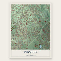
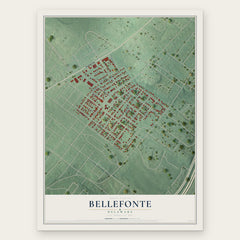
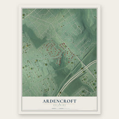
More maps nearby: Arden, Ardentown, Edgemoor, Claymont and Lancashire.
The art of mapping a place
How This Map Was Made
Real places. Remarkable detail. Discover the layers that turn geographic data into a map of home.

The view from above
Aerial imagery reveals the character of the land: woodland, open fields, and the patterns of a place.

The shape of the land
Elevation data brings hills, valleys, and subtle changes in the landscape into view.

The details of home
Roads, waterways, and building footprints come together to make the map feel unmistakably local.

Geography becomes art
Considered color, shading, and typography bring the layers together in a map made for your wall.


Process illustrated with Mendon, Massachusetts. Aerial imagery: USDA NAIP. Terrain: USGS 3D Elevation Program. Map details and finished artwork: KNOWOL.
The Details
About This Print
Choose an archival matte print, or a black or white Ayous wood frame. The archival matte print is unframed.
Select your size and finish above to see the matching product image and price.
Materials & Craftsmanship
A contemporary map with the character of a classic atlas, printed on archival matte paper. Optional frames are made from Ayous wood.
Your printed map does not include the watermark shown in the full-map preview.
Shipping & Delivery
Free shipping within the United States. Every print is made to order in the USA.
Buying a gift? Add a note in your cart and we'll include it. We never put prices in the package.
Prints ship within 2 to 3 business days. Allow 7 to 10 days total from ordering for delivery. Timing may vary during holidays or periods of high order volume.
Read our shipping policy.
Returns and damaged prints
Each print is made to order. Change-of-mind refunds are not available after production.
If your print arrives damaged, misprinted or incorrect, contact support@knowol.com within 30 days of receiving it. Include your order number, photos and a description of the issue.
Read our full refund and replacement policy. For questions about your order, email support@knowol.com.