
Search for another town



Free U.S. delivery 7 to 10 days after you order
Carthage, Texas Map Art
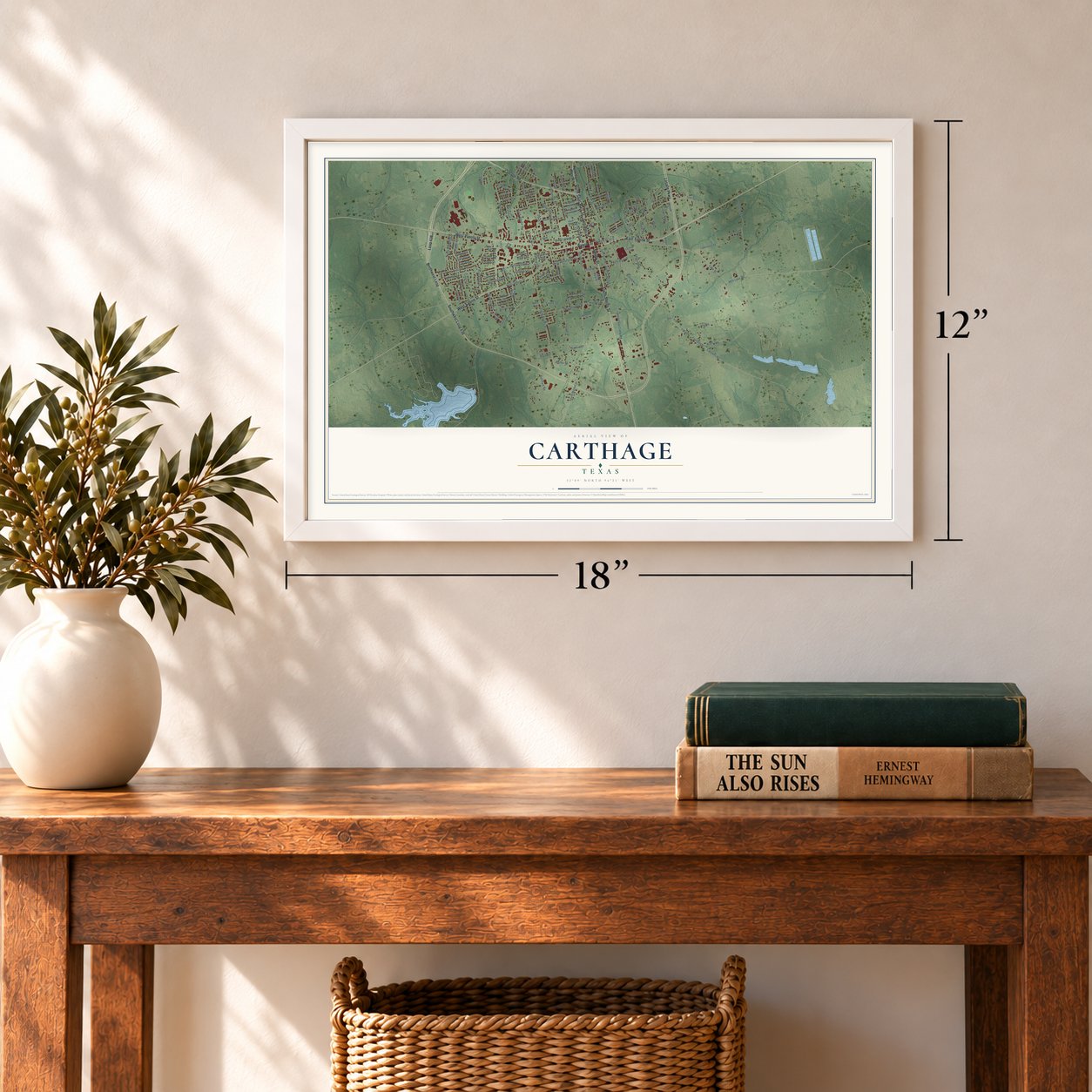
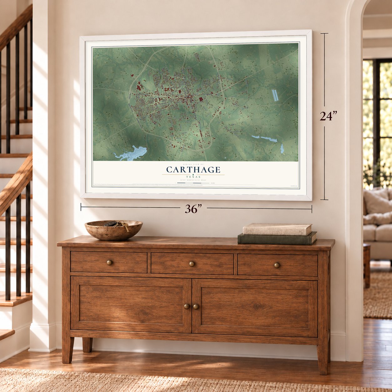
A new map of Carthage, Texas, made in 2026 and printed to order on thick archival matte paper.
12" x 18" Archival Matte Print
A Map of Home. A Work of Art.
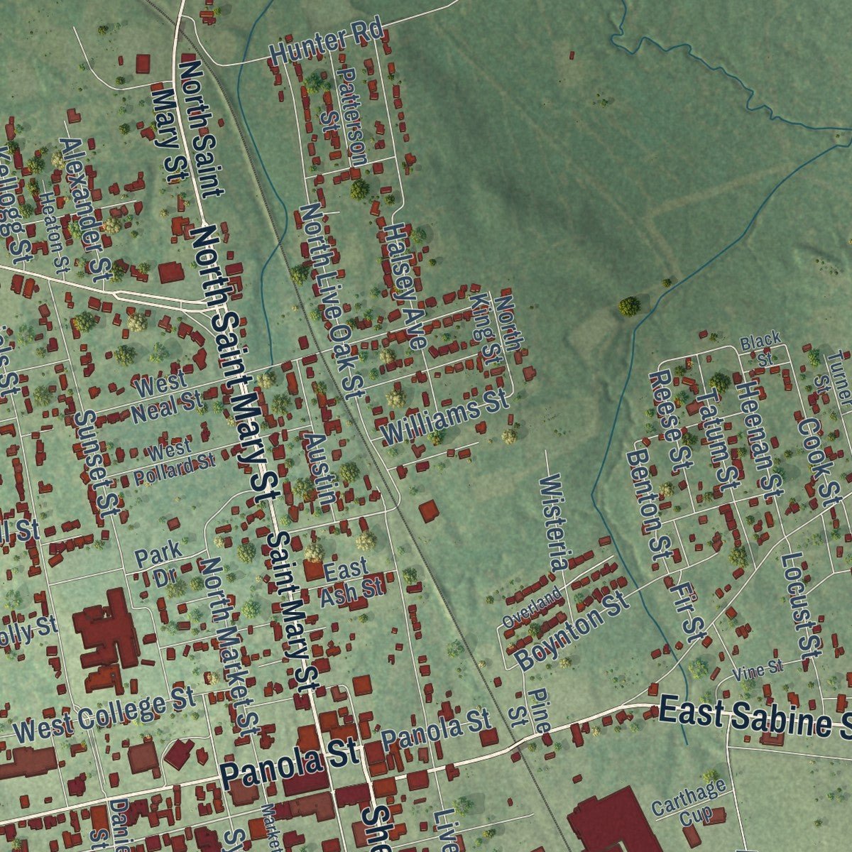
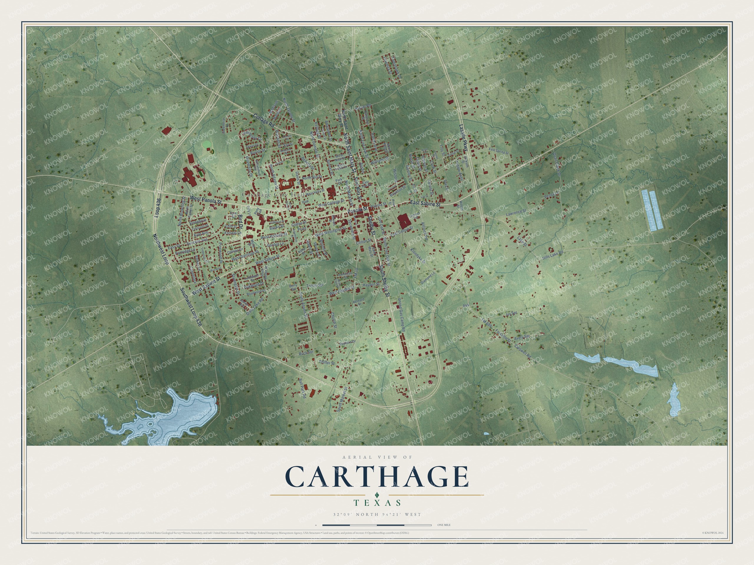
This beautifully detailed map of Carthage, Texas was created in 2026 using aerial imagery combined with modern topographical, census, street and landmark data. It's a modern aerial view of Carthage in Panola County, Texas, that combines modern data with a vintage aesthetic. Zoom in on the preview and look for your block.
Three ways to hang it
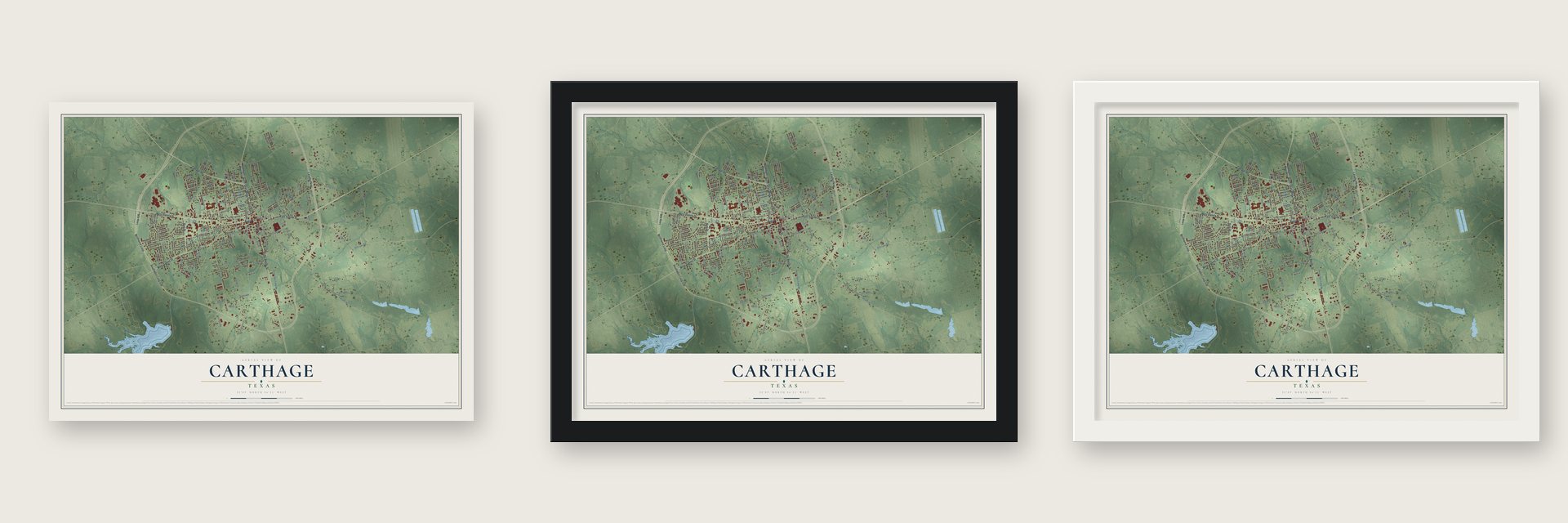
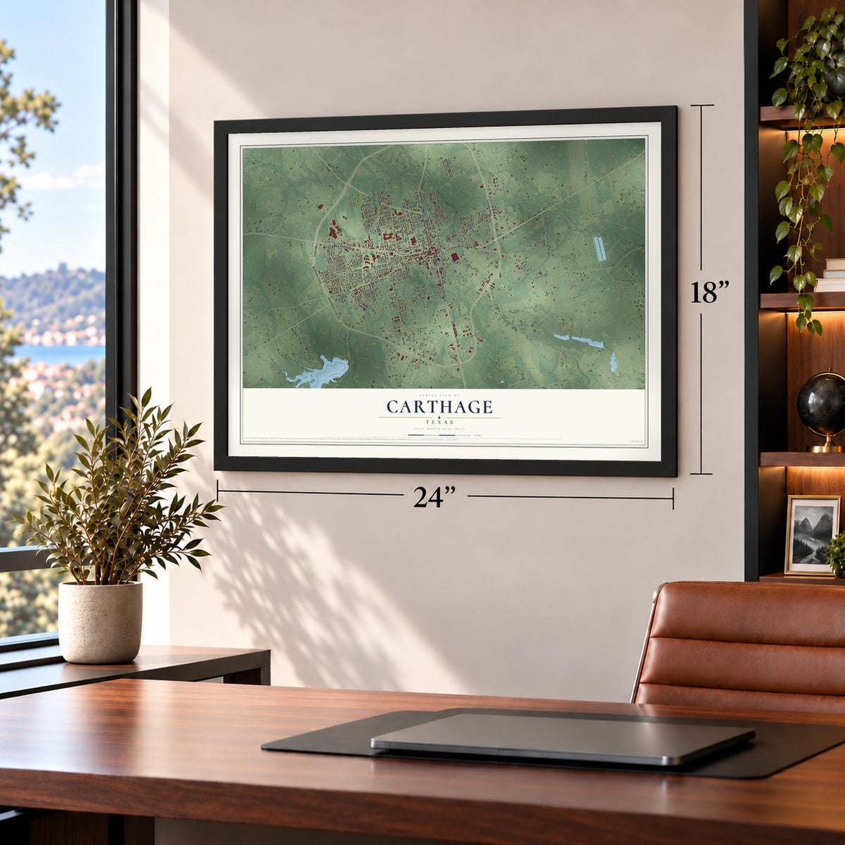
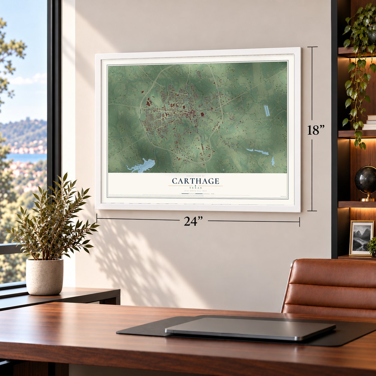
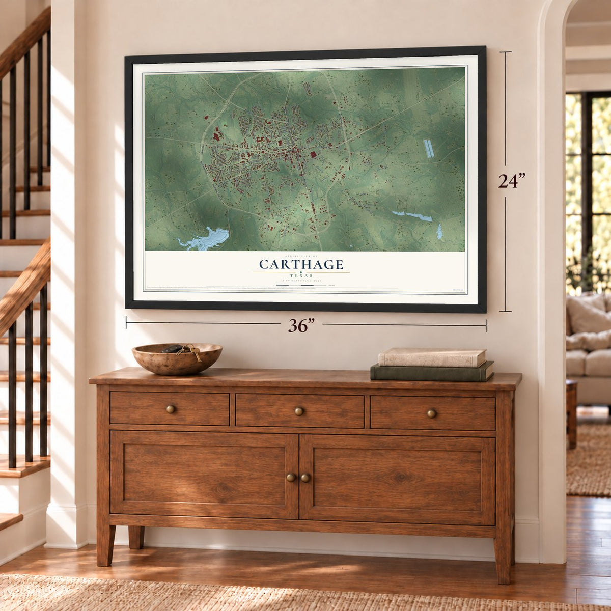
Unframed archival matte, a black wood frame or a white wood frame.
Up close
Real geography. Art worth displaying.
This map was created using accurate cartographic data and authoritative geographic sources, including the U.S. Geological Survey and the Census Bureau. The map brings together terrain, waterways, roads, and building detail. The majority of the streets are labeled, houses are accurately depicted, and the topography is derived from government sources. Combining local data with carefully composed color and shading leads to this beautifully detailed Carthage artwork for your wall.
Rather than simply showing street outlines, we’ve included as many of the street names as we could reasonably fit on the map while keeping their names legible. Zoom in on the high resolution preview to see exactly what’s on the map. We truly set out to create a statement piece for anyone who loves Carthage. So whether it’s for you, or a gift for someone you love, we hope this map of Carthage brings back fond memories.
Read the story behind this map of Carthage, Texas from 2026.

About Carthage, Texas
Carthage is a city and the county seat of Panola County in deep East Texas. Chosen as the permanent county seat in 1848, the community developed around land donated by Jonathan Anderson near the county's geographic center. Its civic history includes successive courthouses, rail service beginning in 1888, and a 2020 population of 6,569.
- Central County SeatCounty commissioners selected the permanent townsite in 1848, and Jonathan Anderson contributed 100 acres for it.
- Early Civic LandmarksA post office opened in 1849, the same year Carthage completed its first courthouse using peeled pine logs.
- Railroad ArrivalThe Texas, Sabine Valley and Northwestern Railway reached Carthage in 1888.
- Commission GovernmentCarthage adopted a commission form of government in 1913, with a mayor, city manager, and city commissioners.
- 2020 CensusThe 2020 census recorded 6,569 residents in Carthage.
Find your street
Names on the Carthage map
Every name below is printed on this map. Look for your street, your school, the park where you played, or the pond down the road.
Places and landmarks2
- Carthage City Hall
- Park
Streets and roads152
- South Shelby Street
- Shelby Street
- Panola Street
- West Panola Street
- Northwest Loop
- North Saint Mary Street
- East Sabine Street
- Lasalle Parkway
- Bird Drive
- Cottage Road
- Loop 436
- Southwest Loop 436
- West Sabine Street
- West Wellington Street
- Cotton Street
- Sycamore Street
- Davis Street
- Beverly Street
- Dixie Lake Road
- North Adams Street
- Comer Street
- Heenan Street
- Troy Street
- Forsythe Street
- South Live Oak Street
- Banks Street
- University Drive
- Success Avenue
- Carswell Road
- South Market Street
Show all 152 streets
- North Daniels Street
- Live Oak Street
- Antioch Road
- FM 699
- FM 10
- Lake Street
- South Adams Street
- Hills Lake Road
- Klondyke Street
- North Live Oak Street
- West Hayden Street
- Quail Creek Drive
- Church Street
- United Gas Camp Road
- Hunter Road
- West Holland Street
- Sunset Street
- West College Street
- Ivy Spr
- East Cotton Street
- North Browning Street
- Stonebriar
- Lawrence Street
- Stonegate Drive
- University Circle
- North Jacobs Street
- Brassell Street
- Trinity Spr
- Cook Street
- Halsey Avenue
- West Garrison Street
- North Hill Street
- Tomahawk Drive
- Phiffer Street
- Ball Park Road
- Boynton Street
- Avery Spr
- Pinewood Drive
- North Market Street
- Tatum Street
- Ouichita Street
- Bounds Street
- Hayden Street
- Parker Lane
- Locust Street
- Wisteria
- Alexander Street
- Baylor Street
- Tribble Alley
- Madison
- Austin
- Rawls Street
- Easy Street
- Garden Lane
- Reese Street
- Williams Street
- Kellogg Street
- Forrest Lane
- Partridge Lane
- Oakwood Drive
- Candelara
- Penny Lane
- Kyle Avenue
- Benton Street
- Ruck Spr
- Price
- Fir Street
- Saint Mary Street
- Tyre Street
- Tulsa Street
- Pine Street
- East Spring Street
- West Holly Street
- South Gaston Street
- North Parker Street
- Park Drive
- Greenbriar Drive
- Marshall
- Myrle Street
- West Neal Street
- College Circle
- Ray Street
- Rayburn Drive
- Rosewood Drive
- Lynnwood Drive
- Americus Street
- Diamond Lane
- Patterson Street
- Texas Drive
- Crescent Street
- Edith Street
- Daniels Street
- Stevens Street
- East Ash Street
- Senior Avenue
- North King Street
- Kelly Street
- Jackson Street
- Duke Street
- Bernard Street
- Filly Lane
- Berry Spr
- Wilson Street
- Pony Trail
- Turner Street
- Timberlane Circle
- West Pollard Street
- Hawthorne Street
- Crawford Street
- Williamsburg Avenue
- Heaton Street
- South Elvin Street
- Rebecca Street
- Carthage Cup
- Cypress
- Black Street
- Market Street
- Kenneth Street
- Overland
- Vine Street
- Briarwood
- North Pecan Street
Names are listed as they appear on the printed map. Zoom into the product photos to find them.
The art of mapping a place
How This Map Was Made
Real places. Remarkable detail. Discover the layers that turn geographic data into a map of home.

The view from above
Aerial imagery reveals the character of the land: woodland, open fields, and the patterns of a place.

The shape of the land
Elevation data brings hills, valleys, and subtle changes in the landscape into view.

The details of home
Roads, waterways, and building footprints come together to make the map feel unmistakably local.

Geography becomes art
Considered color, shading, and typography bring the layers together in a map made for your wall.


Process illustrated with Mendon, Massachusetts. Aerial imagery: USDA NAIP. Terrain: USGS 3D Elevation Program. Map details and finished artwork: KNOWOL.
The Details
About This Print
Choose an archival matte print, or a black or white Ayous wood frame. The archival matte print is unframed.
Select your size and finish above to see the matching product image and price.
Materials & Craftsmanship
A contemporary map with the character of a classic atlas, printed on archival matte paper. Optional frames are made from Ayous wood.
Your printed map does not include the watermark shown in the full-map preview.
Shipping & Delivery
Free shipping within the United States. Every print is made to order in the USA.
Buying a gift? Add a note in your cart and we'll include it. We never put prices in the package.
Prints ship within 2 to 3 business days. Allow 7 to 10 days total from ordering for delivery. Timing may vary during holidays or periods of high order volume.
Read our shipping policy.
Returns and damaged prints
Each print is made to order. Change-of-mind refunds are not available after production.
If your print arrives damaged, misprinted or incorrect, contact support@knowol.com within 30 days of receiving it. Include your order number, photos and a description of the issue.
Read our full refund and replacement policy. For questions about your order, email support@knowol.com.
Find your town
Looking for another city?
Find a map of home in our Texas collection.
Nearby
Maps of towns near Carthage
Know someone from one of these towns? Their map makes a great gift.
 Gary City
, Texas
From $39.99See the map
 Beckville
, Texas
From $39.99See the map
 Tenaha
, Texas
From $39.99See the map
More maps nearby: Tatum, Timpson, Joaquin, Easton and Lake Cherokee.