
Search for another town




Free U.S. delivery 7 to 10 days after you order
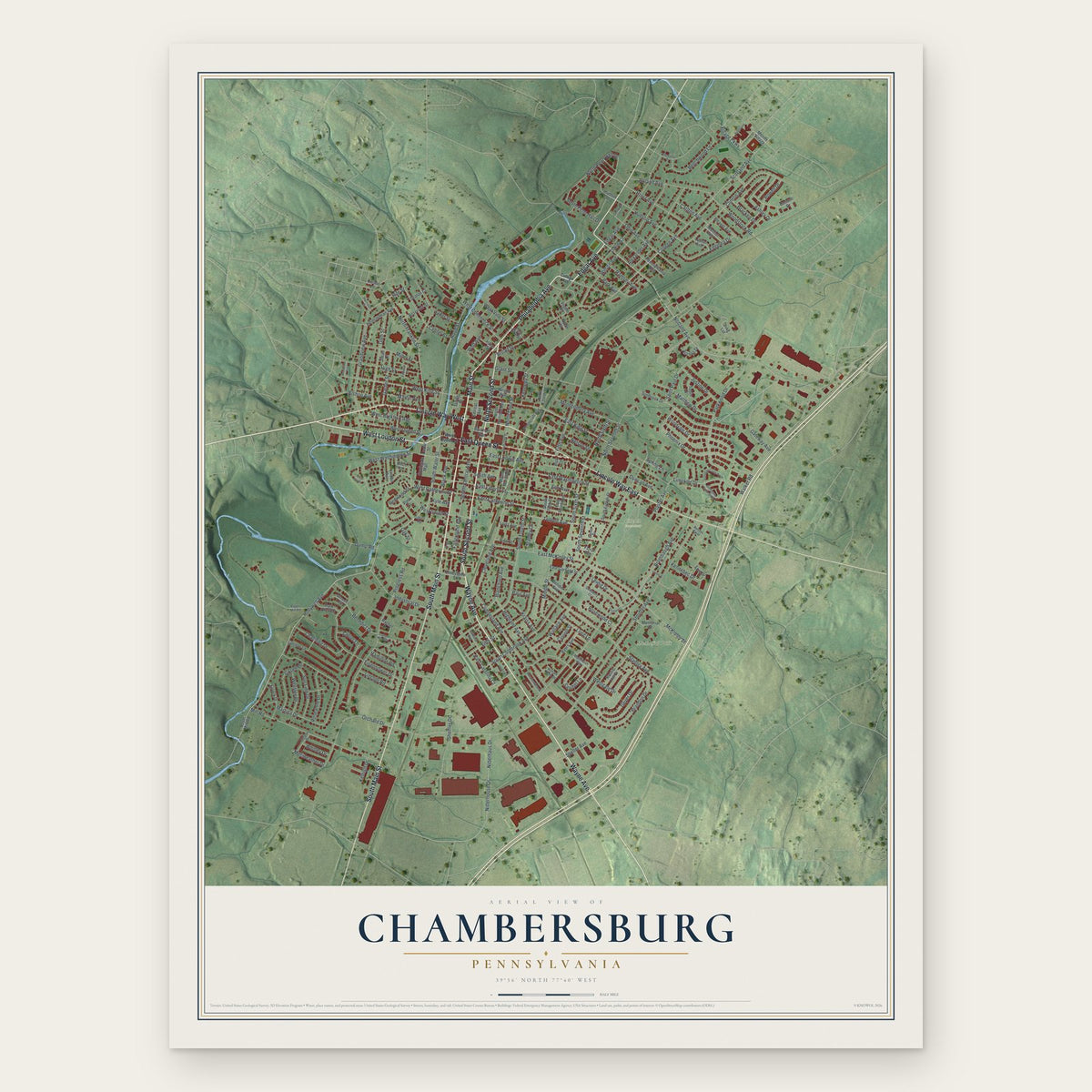
Chambersburg, Pennsylvania Map Art
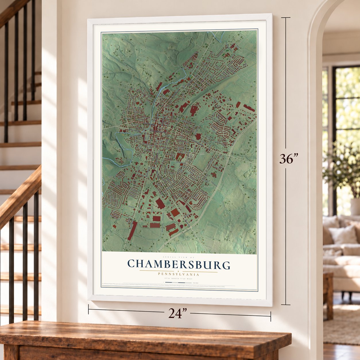
A new map of Chambersburg, Pennsylvania, made in 2026 and printed to order on thick archival matte paper.
18" x 24" Archival Matte Print
A Map of Home. A Work of Art.
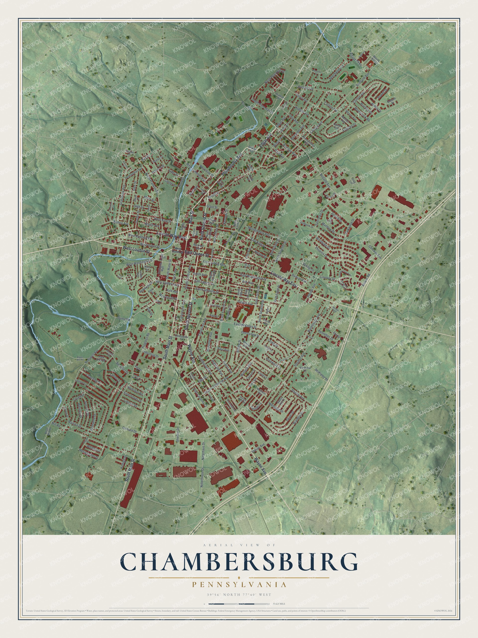
Explore Chambersburg, Pennsylvania from a whole new perspective. Created using aerial imagery and detailed geographic data, this map captures Chambersburg building by building, with labeled streets, familiar landmarks, and shaded topographical relief that highlights the natural contours of the landscape.
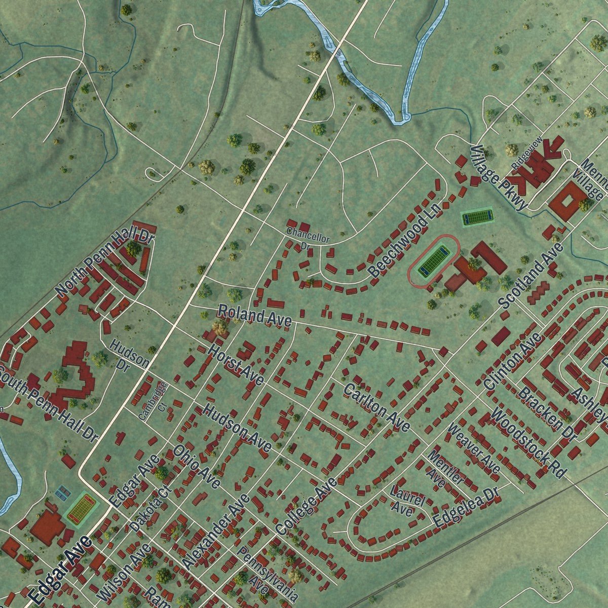
Combining modern data with the timeless character of a vintage atlas, this map is just as interesting up close as it is beautiful on the wall. Whether you grew up in Chambersburg, spent memorable years there, or call it home today, this unique map is a great way to celebrate a place that means something to you. Zoom in on the preview to look for your street, and then order a print to put your memories on the wall.
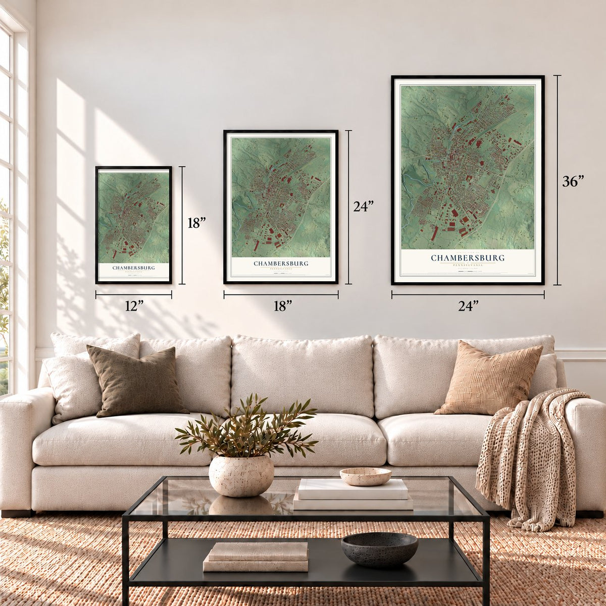
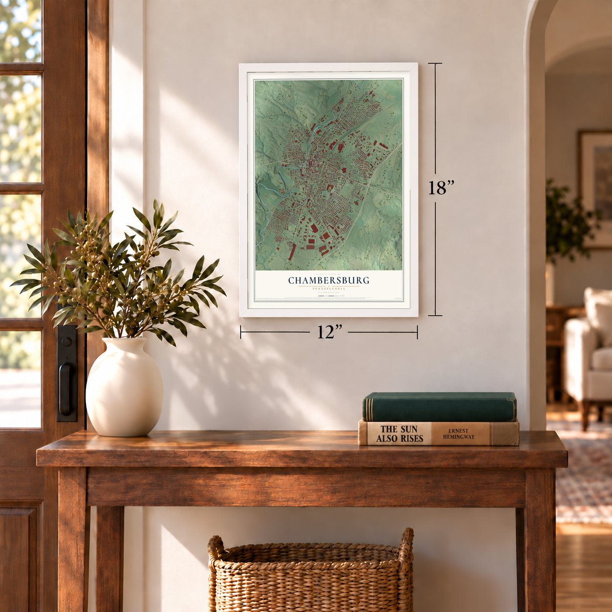
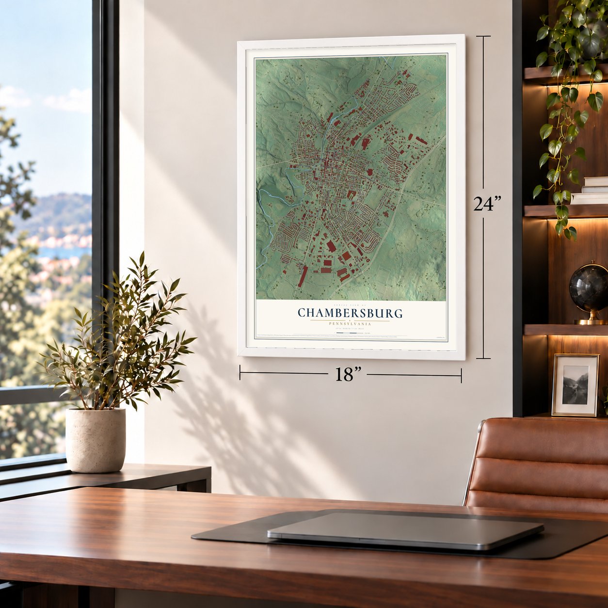
Three ways to hang it
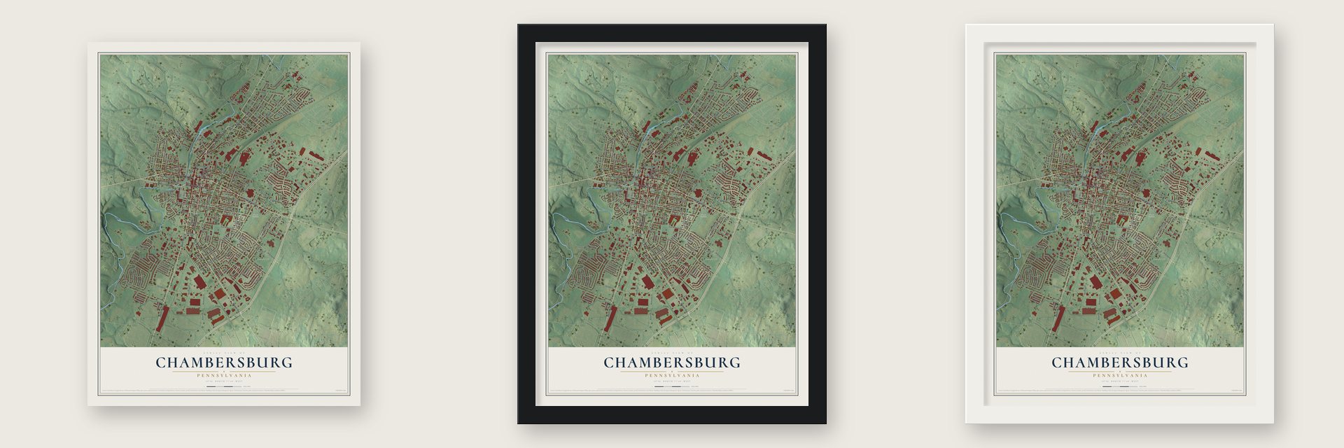
Unframed archival matte, a black wood frame or a white wood frame.
Up close
Geography Worth Displaying
This map was created using accurate cartographic data and authoritative geographic sources, including the U.S. Geological Survey and the Census Bureau. The map brings together terrain, waterways, roads, and building detail. The majority of the streets are labeled, houses are accurately depicted, and the topography is derived from government sources. Combining local data with carefully composed color and shading leads to this beautifully detailed Chambersburg artwork for your wall.
Rather than simply showing street outlines, we’ve included as many of the street names as we could reasonably fit on the map while keeping their names legible. Zoom in on the high resolution preview to see exactly what’s on the map. We truly set out to create a statement piece for anyone who loves Chambersburg. So whether it’s for you, or a gift for someone you love, we hope this map of Chambersburg brings back fond memories.
Read the story behind this map of Chambersburg, Pennsylvania from 2026.

About Chambersburg, Pennsylvania
Chambersburg, the seat of Franklin County, is a borough of 21,903 people in the Cumberland Valley. Benjamin Chambers, an immigrant from the Scots-Irish settlers, came here in 1730 and built a grist mill and a saw mill beside a waterfall where Falling Spring Creek meets the Conococheague. The settlement that grew around his mills was called Falling Spring, and in 1734 an agent of the Penn family licensed him to hold 400 acres.
Chambers laid out a town on both sides of the spring in 1764 and sold its lots through an ad in Benjamin Franklin's paper. The town sat where the Great Wagon Road crossed the Forbes Road, so it grew as a trading stop. Chambersburg was incorporated on March 21, 1803, and became the county seat. The Cumberland Valley Railroad came through in 1837 and drove the local economy for nearly a century.
“The situation of this town is very good for water and stone, both free and marble, and sand all handy to the spot, and a well timbered part of the country adjoining it; within said town is a good Gristmill, Sawmill, and Grindstones going by water.”
- A frontier fort in 1756During the French and Indian War, Chambers ringed his house and mill with a stone fort armed with two 4-pounder cannons. The area's people fell from about 3,000 in 1755 to about 300, and most did not come back until after 1764. Officials tried to haul the cannons away so raiders couldn't seize them, but they failed, and one was still on hand to fire for the Fourth of July in 1830.
- Church land for one roseScots-Irish Presbyterians started the town's first church in 1734. In 1768 Chambers gave the congregation land for a yearly rent of a single rose. The First Lutheran Church and Zion Reformed Church organized in 1780 on similar terms, so all three became known as the Rose Rent Churches. Zion Reformed Church joined the National Register in 1979.
- Washington spent the nightDuring the Whiskey Rebellion, local people put up a liberty pole to back the rebels, but a town meeting scolded them and they took it down the next day. President George Washington then led federal troops through on his way from Carlisle to Bedford and stayed overnight on October 12, 1794, by tradition with Dr. Robert Johnson, a surgeon from the Revolution.
- John Brown, alias SmithIn the summer of 1859 John Brown boarded in a house on East King Street under the false name Smith. His raid on Harpers Ferry followed that October. The John Brown House joined the National Register in 1970.
- Burned on July 30, 1864Jeb Stuart raided the town in 1862, and Robert E. Lee rode into the Diamond on June 26, 1863, before sending his army toward Gettysburg. On July 30, 1864, John McCausland's cavalry demanded a ransom, and when it wasn't paid they burned the town in revenge for David Hunter's raids in the Shenandoah Valley. The Masonic Temple of 1823 and 1824 survived, and so did the 1818 jail, which held prisoners until 1971.
Find your street
Names on the Chambersburg map
Every name below is printed on this map. Look for your street, your school, the park where you played, or the pond down the road.
Places and landmarks2
- Lincoln Cemetery
- Memorial Park
Streets and roads223
- South Main Street
- Philadelphia Avenue
- Lincoln Way West
- West Loudon Street
- Edgar Avenue
- North Second Street
- East Queen Street
- Wayne Avenue
- South Second Street
- Lincoln Way East
- Main Street
- Norland Avenue
- South Water Street
- Hollywell Avenue
- East King Street
- Village Parkway
- West King Street
- Fifth Avenue
- Walker Road
- Scotland Avenue
- Nelson Street
- Limekiln Drive
- North Franklin Street
- North Penn Hall Drive
- South Penn Hall Drive
- West Washington Street
- North Third Street
- West Vine Street
- Rife Street
- Orchard Drive
Show all 223 streets
- East McKinley Street
- Stouffer Avenue
- South Coldbrook Avenue
- East Catherine Street
- South Fourth Street
- Stanley Avenue
- Grandview Avenue
- Cumberland Avenue
- Martina Drive
- East Washington Street
- Wilson Avenue
- Progress Road
- Black Avenue
- Mill Road
- Clinton Avenue
- Eisenhower Drive
- Parkwood Drive
- East Liberty Street
- College Avenue
- East Ludwig Avenue
- South Sixth Street
- Brandon Drive
- South Central Avenue
- Phoenix Drive
- Hood Street
- Plaster Avenue
- Sheffler Drive
- South Seventh Street
- Fifth Street
- Saint Paul Drive
- Cleveland Avenue
- West Commerce Street
- Broad Street
- West Catherine Street
- Glen Street
- Brumbaugh Avenue
- Alexander Avenue
- Ohio Avenue
- Grant Street
- Ashley Drive
- Tolbert Avenue
- West Burkhart Avenue
- Hudson Avenue
- Woodvale Drive
- Nitterhaus Drive
- Nitterhouse Drive
- Wallace Avenue
- High Street
- Middle Street
- McKinley Street
- Roland Avenue
- Leidig Drive
- Elm Avenue
- Montgomery Avenue
- Edgelea Drive
- Industrial Drive
- Gateway Avenue
- Center Street
- Beechwood Lane
- Matthew Drive
- Geyer Drive
- Horst Avenue
- Highland Avenue
- West Queen Street
- Elder Street
- Powell Drive
- Cosell Drive
- Miller Street
- Woodstock Road
- Fairground Avenue
- Sheller Avenue
- Channing Drive
- Martin Avenue
- Ramsey Avenue
- Garber Street
- Blanchard Avenue
- Kennebec Drive
- Smith Avenue
- North Seventh Street
- Duncan Avenue
- Roseanne Drive
- North Sixth Street
- Sue Linn Drive
- Justine Drive
- Wolf Avenue
- Kraiss Avenue
- Wellslee Drive
- Westgate Drive
- Lincoln Road
- Redwood Street
- Benedict Drive
- Stanley Court
- Rosewood Court
- Bishop Avenue
- Park Avenue
- West South Street
- East Carolina Court
- Carlton Avenue
- Hamilton Road
- Sanibel Lane
- Meriweather Drive
- Long Lane
- Bracken Drive
- Kennedy Street
- Whitley Drive
- Dump Road
- Lanter Lane
- Kelhigh Drive
- Spring Lane
- Kyle Avenue
- Paul Avenue
- Oak Street
- Access Drive
- Menno Village
- Prkg Lot
- North Fourth Street
- Epic Drive
- Southgate Mall
- East Garfield Street
- Lortz Avenue
- Pennsylvania Avenue
- East Point Avenue
- Dakota Court
- Sunbrook Drive
- Wright Avenue
- Bassett Drive
- Heintzelman Avenue
- South Eighth Street
- Elrock Drive
- Memorial Drive
- Rustic Hill Drive
- Floral Avenue
- Weaver Avenue
- North Harrison Avenue
- Reservoir Street
- Penncraft Avenue
- Boyer Mill Road
- Rachel Drive
- Pine Court
- Cypress Street
- Park View Drive
- Byers Avenue
- Derbyshire Street
- Cedar Street
- Spring Street
- Swan Court
- Tobin Drive
- Linden Avenue
- South Fifth Street
- Mentler Avenue
- Bender Avenue
- Mount Moriah Street
- Lantern Lane
- Burkhart Avenue
- Central Avenue
- Laurel Avenue
- Birch Street
- Seaton Court
- Hazel Street
- Riddle Road
- East Vine Street
- Hudson Drive
- Carson Lane
- North Street
- Pine Street
- Polk Court
- Guilford Avenue
- Paper Mill Road
- Meadowbrook Lane
- Bender Farm
- Macintosh Way
- Delano Drive
- William Penn Drive
- Gilbert Road
- Unkown
- Benedict Avenue
- Taft Court
- Harrison Drive
- Dewberry Court
- Federal Street
- Eighth Street
- South Third Street
- Stonegate Circle South
- Stonegate Circle North
- Green Meadow Lane
- Wilson College Lane
- Ridgeview
- Chancellor Drive
- Orchard Court
- Cambridge Court
- Brookview Avenue
- Locust Street
- West Irva Drive
Names are listed as they appear on the printed map. Zoom into the product photos to find them.
The art of mapping a place
How This Map Was Made
Real places. Remarkable detail. Discover the layers that turn geographic data into a map of home.

The view from above
Aerial imagery reveals the character of the land: woodland, open fields, and the patterns of a place.

The shape of the land
Elevation data brings hills, valleys, and subtle changes in the landscape into view.

The details of home
Roads, waterways, and building footprints come together to make the map feel unmistakably local.

Geography becomes art
Considered color, shading, and typography bring the layers together in a map made for your wall.


Process illustrated with Mendon, Massachusetts. Aerial imagery: USDA NAIP. Terrain: USGS 3D Elevation Program. Map details and finished artwork: KNOWOL.
The Details
About This Print
Choose an archival matte print, or a black or white Ayous wood frame. The archival matte print is unframed.
Select your size and finish above to see the matching product image and price.
Materials & Craftsmanship
A contemporary map with the character of a classic atlas, printed on archival matte paper. Optional frames are made from Ayous wood.
Your printed map does not include the watermark shown in the full-map preview.
Shipping & Delivery
Free shipping within the United States. Every print is made to order in the USA.
Buying a gift? Add a note in your cart and we'll include it. We never put prices in the package.
Prints ship within 2 to 3 business days. Allow 7 to 10 days total from ordering for delivery. Timing may vary during holidays or periods of high order volume.
Read our shipping policy.
Returns and damaged prints
Each print is made to order. Change-of-mind refunds are not available after production.
If your print arrives damaged, misprinted or incorrect, contact support@knowol.com within 30 days of receiving it. Include your order number, photos and a description of the issue.
Read our full refund and replacement policy. For questions about your order, email support@knowol.com.
Find your town
Looking for another city?
Find a map of home in our Pennsylvania collection, or any town in the country.
Nearby
Maps of towns near Chambersburg
Know someone from one of these towns? Their map makes a great gift.
 Hamilton
, Franklin County, Pennsylvania
From $39.99See the map
 Guilford
, Pennsylvania
From $39.99See the map
 Scotland
, Pennsylvania
From $39.99See the map
More maps nearby: Greene, Fayetteville, Antrim, St. Thomas and Letterkenny.