
Search for another town






Free U.S. delivery 7 to 10 days after you order
Chaparral, New Mexico Map Art
Building by building, with labeled streets and shaded relief.
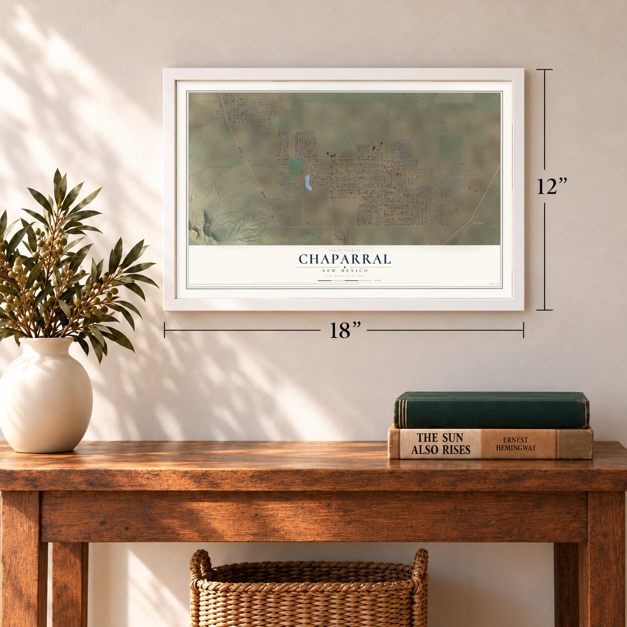
12" x 18" Archival Matte Print
A Map of Home. A Work of Art.
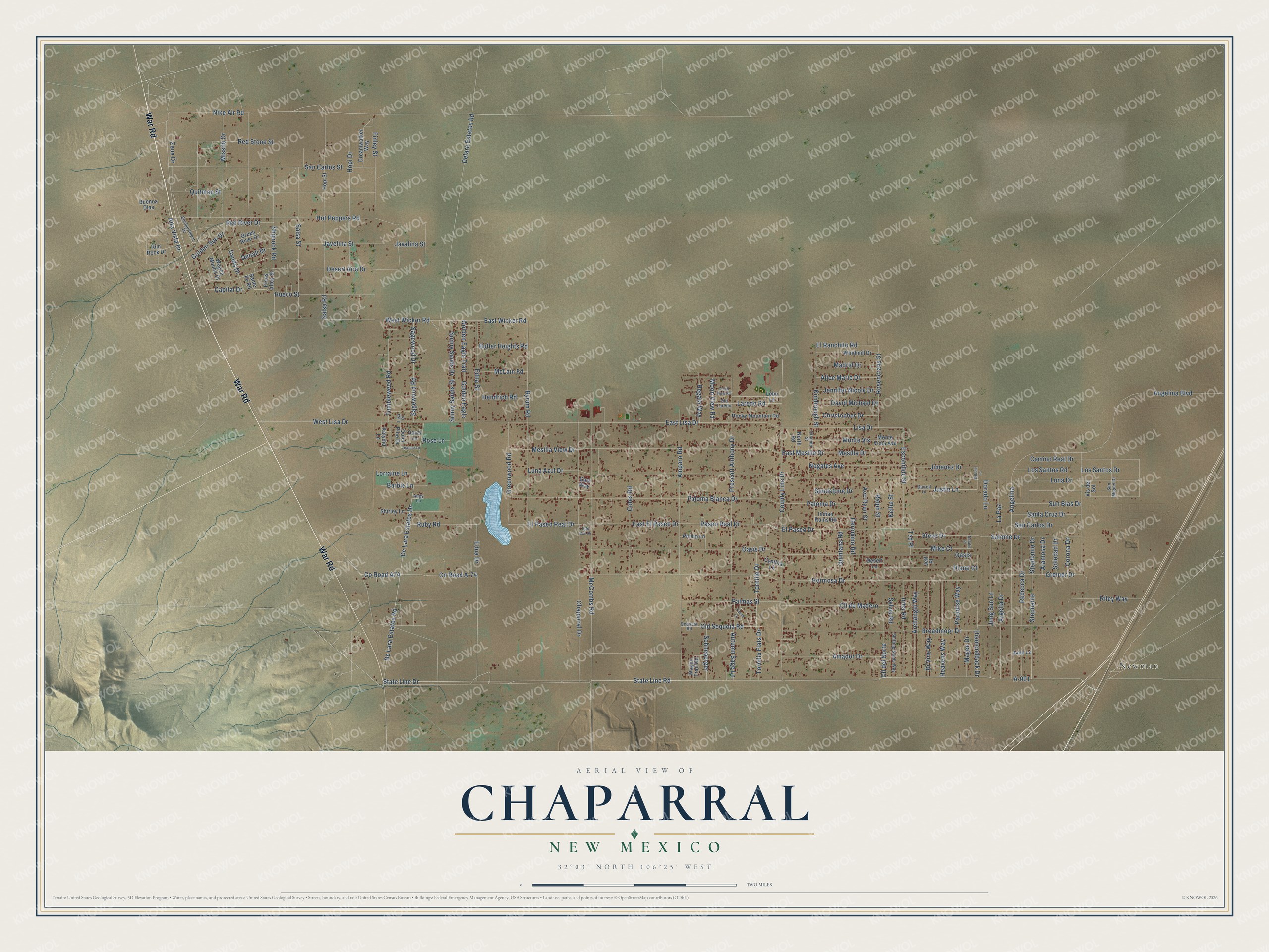
Explore Chaparral, New Mexico from a whole new perspective. Created using aerial imagery and detailed geographic data, this map captures Chaparral building by building, with labeled streets, familiar landmarks, and shaded topographical relief that highlights the natural contours of the landscape.
Combining modern data with the timeless character of a vintage atlas, this map is just as interesting up close as it is beautiful on the wall. Whether you grew up in Chaparral, spent memorable years there, or call it home today, this unique map is a great way to celebrate a place that means something to you. Zoom in on the preview to look for your street, and then order a print to put your memories on the wall.
Three ways to hang it
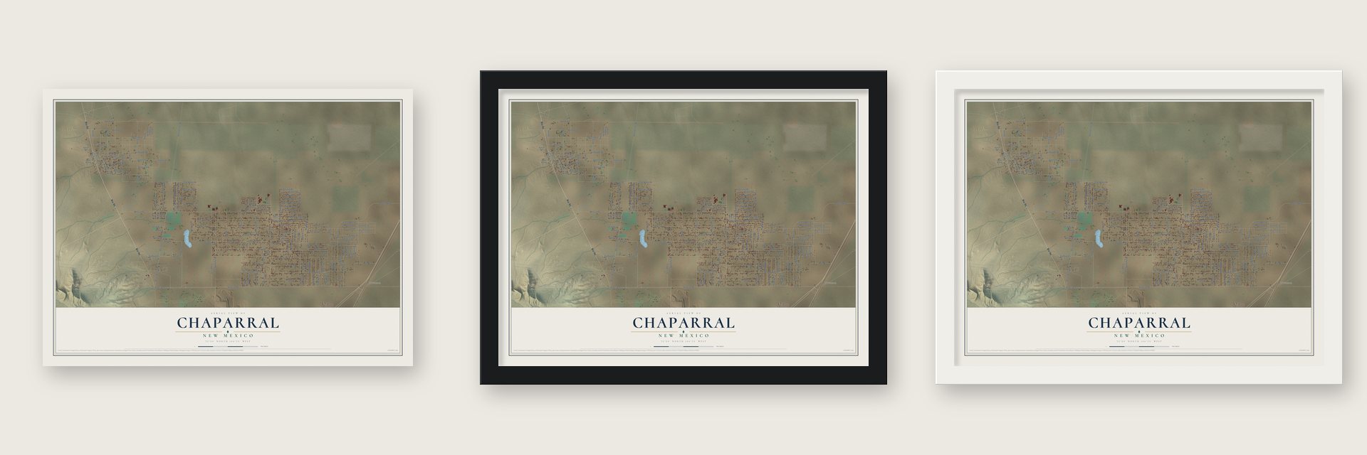
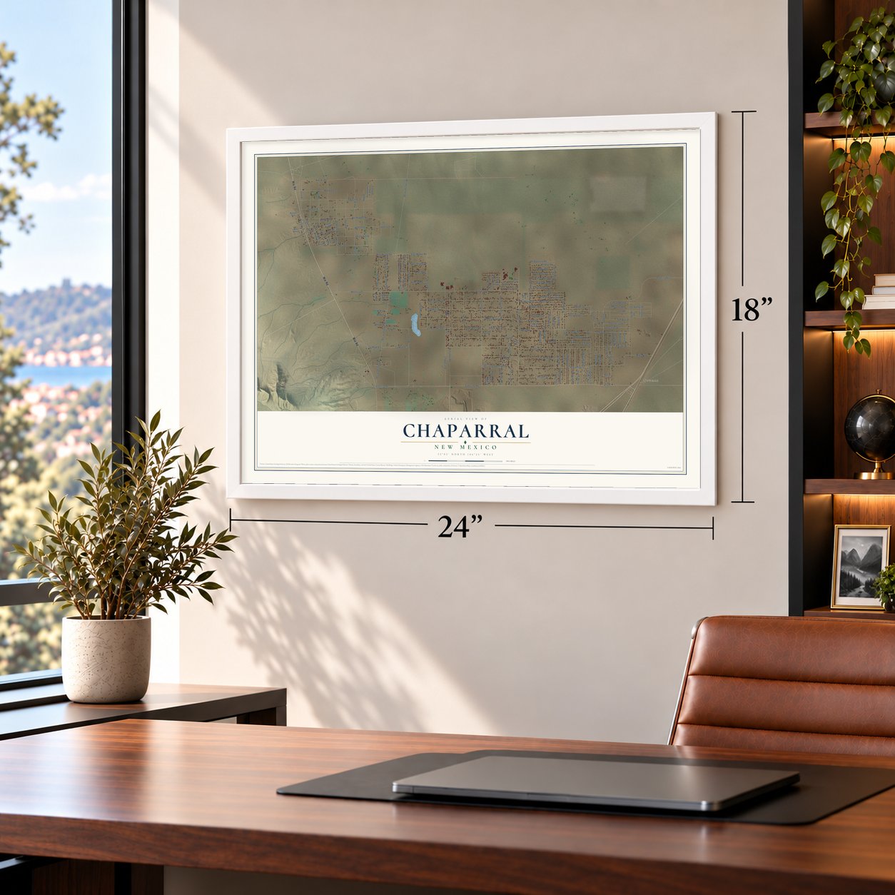
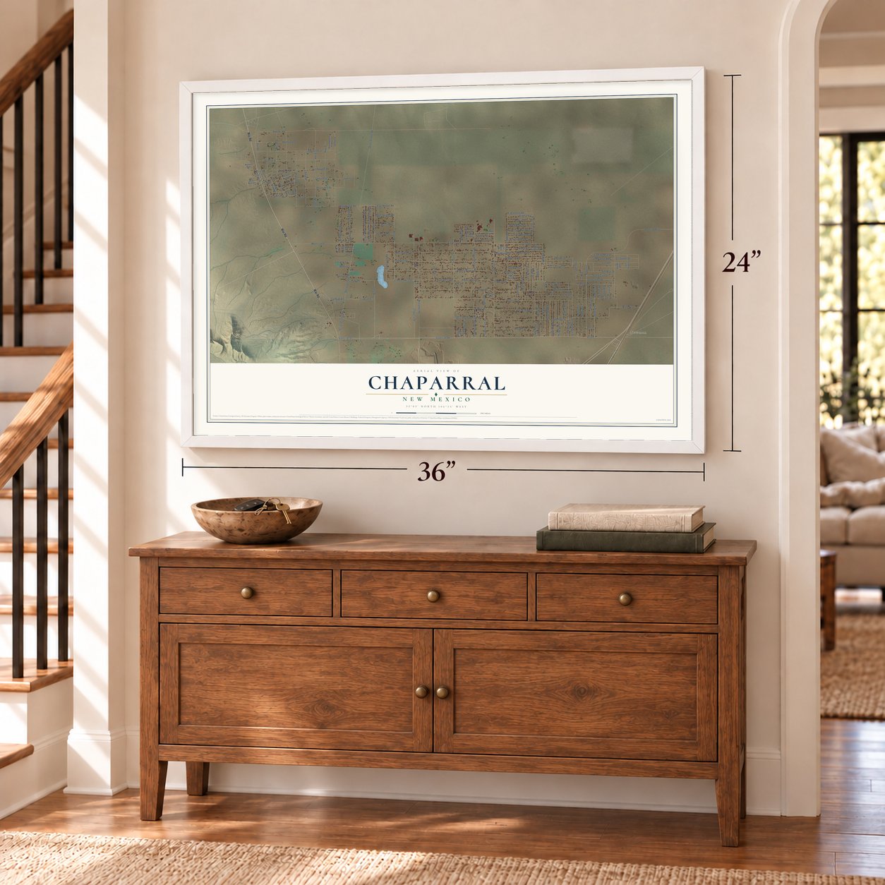
Unframed archival matte, a black wood frame or a white wood frame.
Up close
Geography Worth Displaying
This map was created using accurate cartographic data and authoritative geographic sources, including the U.S. Geological Survey and the Census Bureau. The map brings together terrain, waterways, roads, and building detail. The majority of the streets are labeled, houses are accurately depicted, and the topography is derived from government sources. Combining local data with carefully composed color and shading leads to this beautifully detailed Chaparral artwork for your wall.
Rather than simply showing street outlines, we’ve included as many of the street names as we could reasonably fit on the map while keeping their names legible. Zoom in on the high resolution preview to see exactly what’s on the map. We truly set out to create a statement piece for anyone who loves Chaparral. So whether it’s for you, or a gift for someone you love, we hope this map of Chaparral brings back fond memories.
Read the story behind this map of Chaparral, New Mexico from 2026.

Find your street
Names on the Chaparral map
Every name below is printed on this map. Look for your street, your school, the park where you played, or the pond down the road.
Places and landmarks1
- Newman
Streets and roads180
- War Road
- State Line Drive
- County Road A74
- County Road A-74
- Amparo Road
- State Line Road
- Zeus Drive
- East Wicker Road
- Edna Drive
- Hermosa Drive
- Edna Street
- Byrum Road
- Delara Estates Road
- West Wicker Road
- Salome Drive
- East Lisa Drive
- El Ranchito Road
- Oasis Drive
- Chaparral Drive
- Jung Sun Lane
- Angelina Boulevard
- Luna Drive
- County Line Drive
- Mesilla View Drive
- Paloma Blanca Drive
- De Lara Estates Drive
- De Lara Estates Road
- McCombs Road
- East El Paseo Drive
- El Paseo Real Drive
Show all 180 streets
- Paseo Real Drive
- Luna Azul Drive
- Prescott Anthony Drive
- Hot Peppers Road
- West Lisa Drive
- Desert Aire Drive
- Salsa Road
- Finley Street
- San Carlos Street
- Quitman Street
- Broadmoor Drive
- Riley Way
- Shiprock Road
- Coles Road
- Salsa Street
- Argelia Drive
- Stephanie
- Stephanie Drive
- Nike Air Road
- Tornillo Drive
- Tornillo Flats Drive
- El Paseo Drive
- Hopi Drive
- Lisa Drive
- Cll de Madero
- Cll del Norte
- Diamondback Drive
- East Mesilla Drive
- Mesilla Drive
- Greiner Drive
- Camino Real Drive
- Rebecca Drive
- Tumbleweed Road
- Geronimo Road
- Amador Drive
- Greenwood Road
- Sagewood Drive
- Sagewood Road
- Golden Eagle Trail
- Sunny Sands Drive
- Sunny Sands Street
- Red Stone Street
- Javelina Street
- Palmas Street
- Hueco Street
- Escondido Street
- Archangel Way
- Di Vine Way
- Heavens Way
- Paradise Way
- Magee Drive
- Irma Road
- Justin Lane
- San Carlos Drive
- Monte Vis
- Nogales Avenue
- Angelina
- Diane Court
- Rosencrans Street
- Old Sequoia Road
- Kimbrough Street
- Steve Drive
- Autumn Sage Lane
- Missile Drive
- Red River Drive
- Sands Drive
- Ralph Street
- Ace Ryan Street
- Paloma Drive
- Santa Cruz Drive
- Sun Blas Drive
- Laredo Road
- Ruby Road
- A-001
- Los Santos Road
- Jimenez Drive
- Madrid Drive
- Jennifer Nicole Drive
- Mike Court
- David Michael Drive
- Alice Marie Drive
- Christopher Drive
- Los Santos Drive
- Alta Vista Drive
- Schneberger
- Butler Heights Road
- Quintana Road
- Hendrich Road
- McLain Road
- Sylvia Road
- Regala Way
- Javalina Street
- Golden Eagle
- Kellie Street
- Golden Sun Drive
- Barbie Lane
- Oasis
- Dorado Lane
- Moon View Road
- La Paz
- Lorraine Lane
- Sandstone Drive
- Alamosa Drive
- Corona Drive
- Soledad Drive
- Denali Drive
- Capital Drive
- Rose Lane
- Ted Place
- Monte Vista Avenue
- Windmill Drive
- Lobo Lane
- Rocky Mountain Road
- Quiet Pine Drive
- Shirley Lane
- Dreamwalker Way
- Indian Ruins Road
- Wagon Mound Drive
- Wagon Trail Road
- Green River Drive
- Rim Rock Drive
- Buenos Dias
- Desert Lane
- Phillip Lane
- Cynthia Lane
- North Road
- Hopi Street
- Katydid Lane
- Pinos Altos Street
- Carol Lane
- Jade Lane
- Vis del Sol
- Sante Fe Road
- Gala Way
- Jeff Place
- Enchantment Drive
- Garrell Lane
- Sequoia Road
- Orlando Street
- Shifting Sands Way
- San Miguel Drive
- Old Laredo
- Angy Lane
- Lisa Court
- Cloud View Road
- Yucca Lane
- Jeanne Lane
- Natalie Place
- Bobbie Lane
- Red Sun Drive
Names are listed as they appear on the printed map. Zoom into the product photos to find them.
About Chaparral, New Mexico
The first records of settlement around Chaparral date from the turn of the 20th century, when the government gave out land to homesteaders. In the 1950s P.K. Colquitt bought 1,600 acres from his stepfather, A.D. Greenwood, and in the 1960s he and his son John B. Colquitt began selling lots that grew into a small city. Around town, some people called John Colquitt the unofficial mayor, and others called him the town's father.
In 2013 the New Mexico House of Representatives proclaimed February 18 Chaparral Day. It honored the largest colonia in the state, next to White Sands Missile Range and Fort Bliss, for striving for excellence and for its new learning opportunities in the Gadsden schools and Dona Ana Community College.
Keep exploring New Mexico
Chaparral is one of 544 New Mexico towns we've mapped. Every dot on the map is a print of its own.
The search covers every state, New Mexico first.
Near Chaparral
Order 2 or more town maps and save 10%. Shown in the size and finish you picked above, so they hang as a set.
- Anthony 12" x 18" / Archival Matte Print $39.99
- Berino 12" x 18" / Archival Matte Print $39.99
- Vado 12" x 18" / Archival Matte Print $39.99
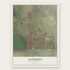
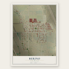

More maps nearby: Chamberino, La Union, Mesquite, La Mesa and Sunland Park.
The art of mapping a place
How This Map Was Made
Real places. Remarkable detail. Discover the layers that turn geographic data into a map of home.

The view from above
Aerial imagery reveals the character of the land: woodland, open fields, and the patterns of a place.

The shape of the land
Elevation data brings hills, valleys, and subtle changes in the landscape into view.

The details of home
Roads, waterways, and building footprints come together to make the map feel unmistakably local.

Geography becomes art
Considered color, shading, and typography bring the layers together in a map made for your wall.


Process illustrated with Mendon, Massachusetts. Aerial imagery: USDA NAIP. Terrain: USGS 3D Elevation Program. Map details and finished artwork: KNOWOL.
The Details
About This Print
Choose an archival matte print, or a black or white Ayous wood frame. The archival matte print is unframed.
Select your size and finish above to see the matching product image and price.
Materials & Craftsmanship
A contemporary map with the character of a classic atlas, printed on archival matte paper. Optional frames are made from Ayous wood.
Your printed map does not include the watermark shown in the full-map preview.
Shipping & Delivery
Free shipping within the United States. Every print is made to order in the USA.
Buying a gift? Add a note in your cart and we'll include it. We never put prices in the package.
Prints ship within 2 to 3 business days. Allow 7 to 10 days total from ordering for delivery. Timing may vary during holidays or periods of high order volume.
Read our shipping policy.
Returns and damaged prints
Each print is made to order. Change-of-mind refunds are not available after production.
If your print arrives damaged, misprinted or incorrect, contact support@knowol.com within 30 days of receiving it. Include your order number, photos and a description of the issue.
Read our full refund and replacement policy. For questions about your order, email support@knowol.com.