
Search for another town



Free U.S. delivery 7 to 10 days after you order
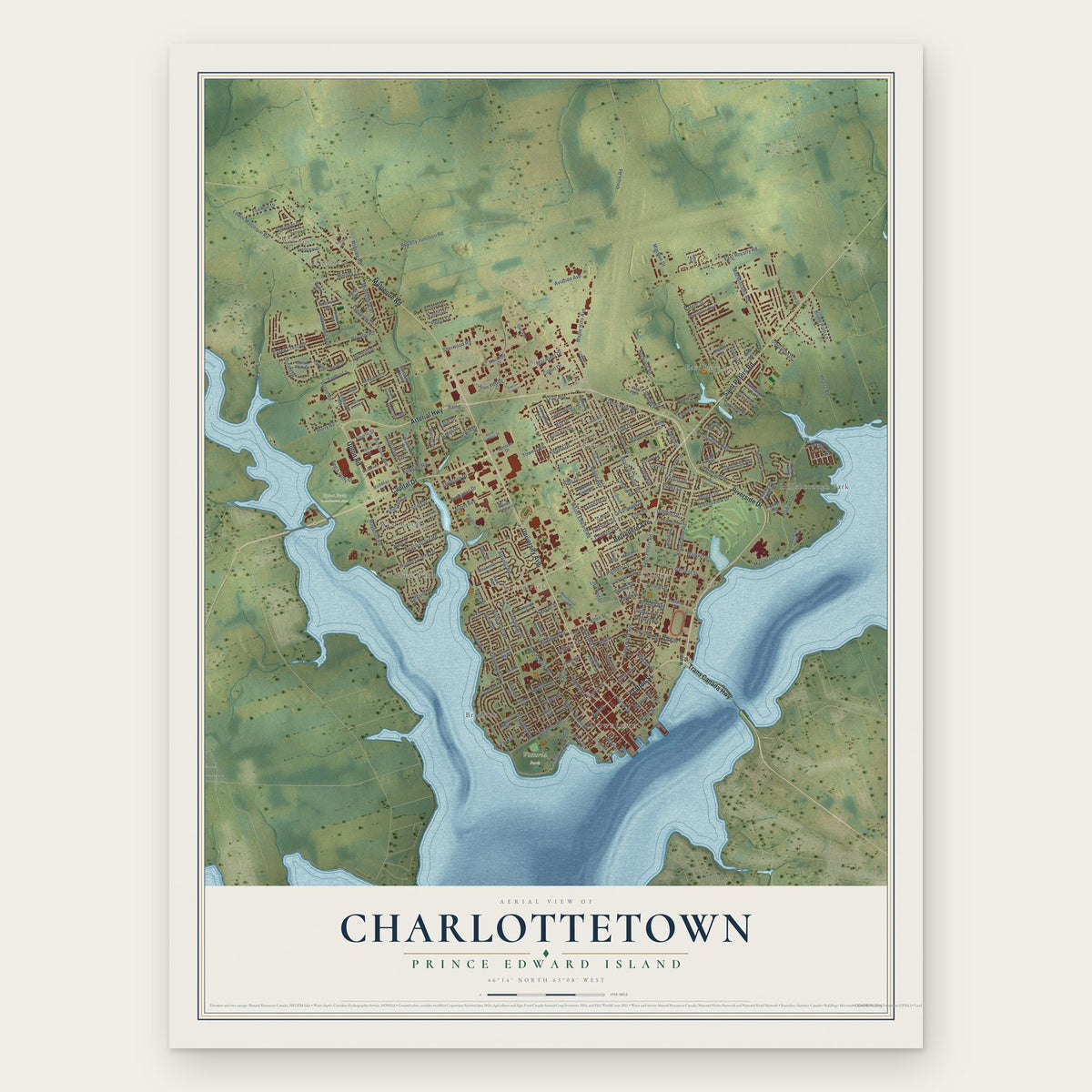
Charlottetown, Prince Edward Island Map Art
Building by building, with labeled streets and shaded relief.
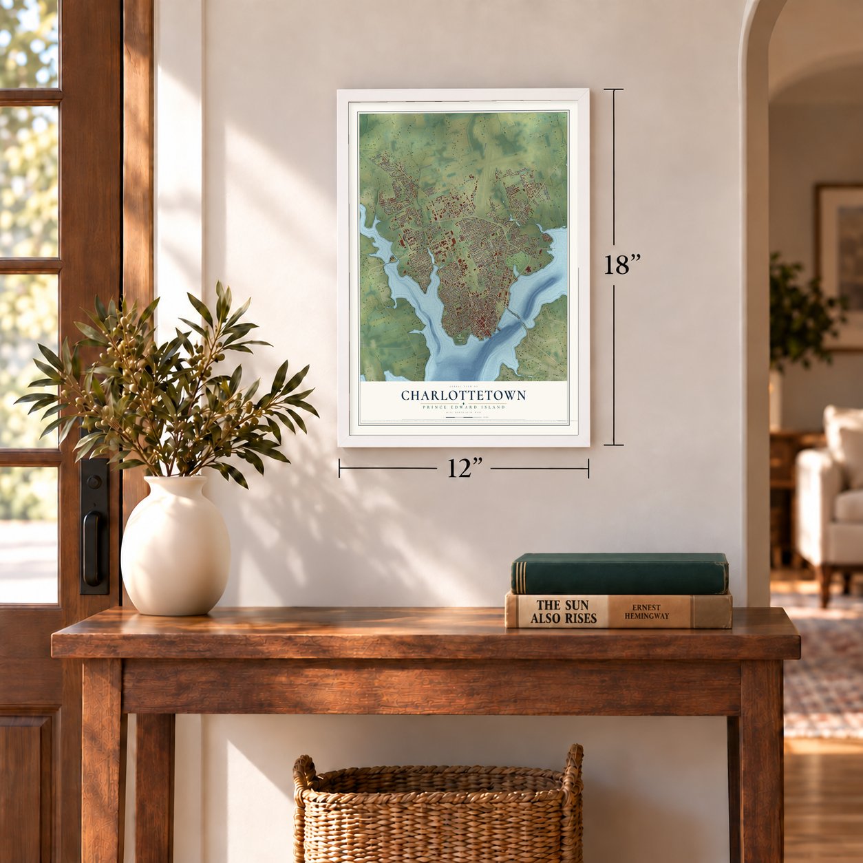
12" x 18" Archival Matte Print
A Map of Home. A Work of Art.
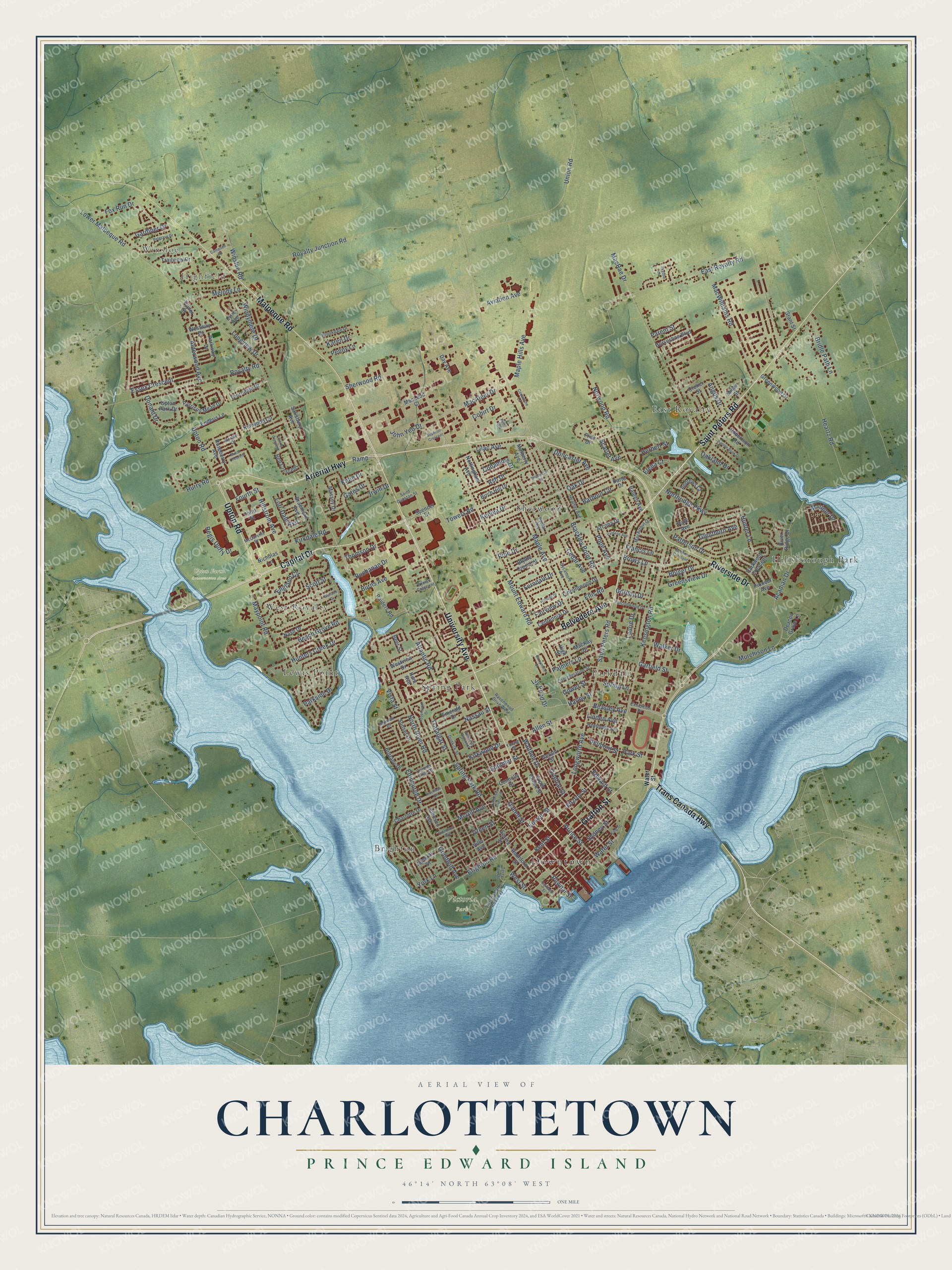
Explore Charlottetown, Prince Edward Island from a whole new perspective. Created using aerial imagery and detailed geographic data, this map captures Charlottetown building by building, with labeled streets, familiar landmarks, and shaded topographical relief that highlights the natural contours of the landscape.
Combining modern data with the timeless character of a vintage atlas, this map is just as interesting up close as it is beautiful on the wall. Whether you grew up in Charlottetown, spent memorable years there, or call it home today, this unique map is a great way to celebrate a place that means something to you. Zoom in on the preview to look for your street, and then order a print to put your memories on the wall.
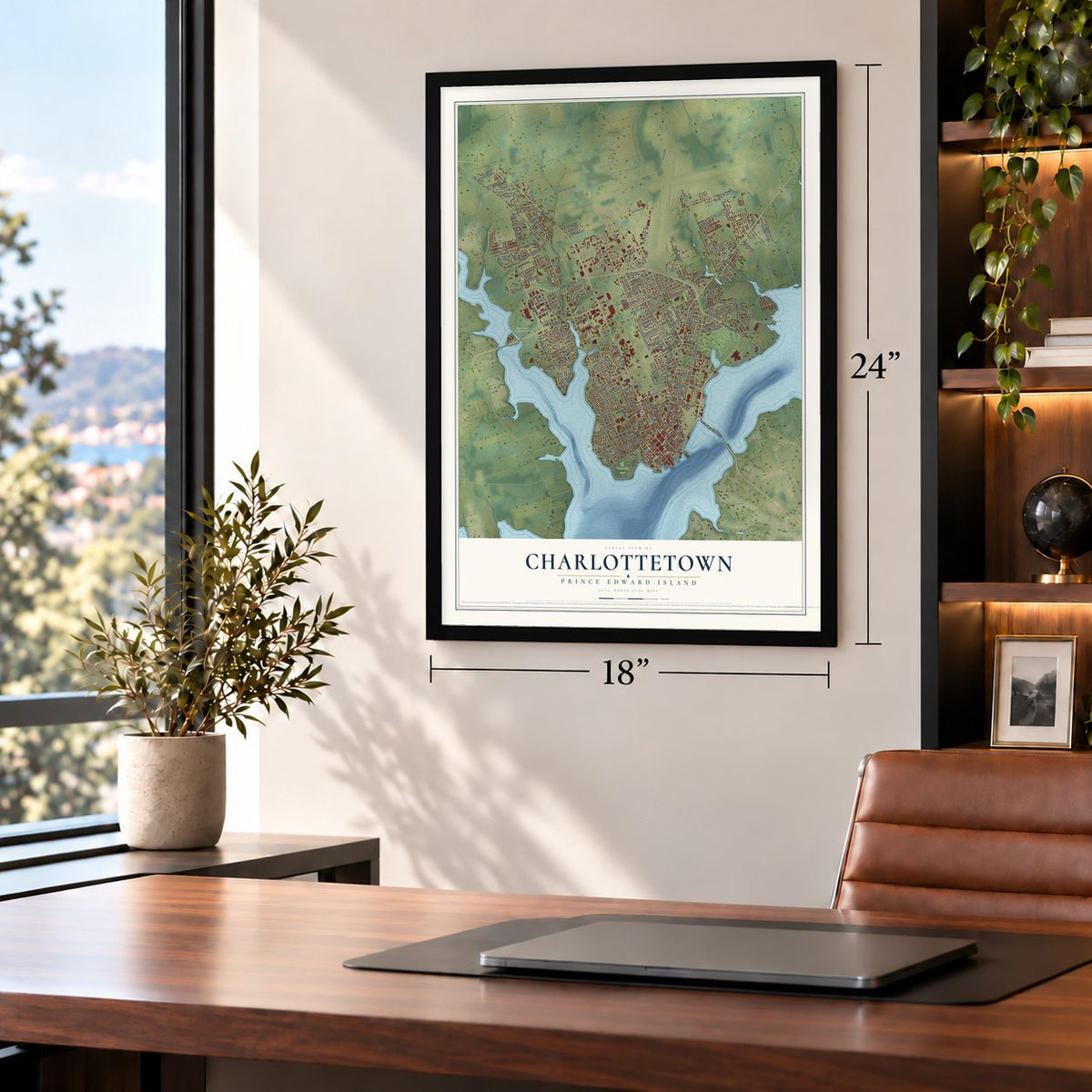
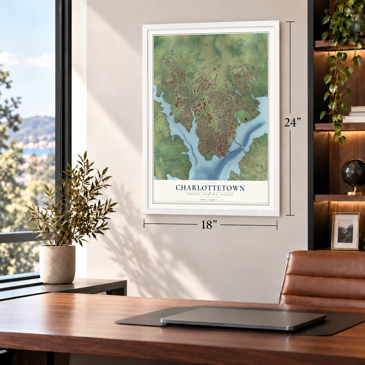
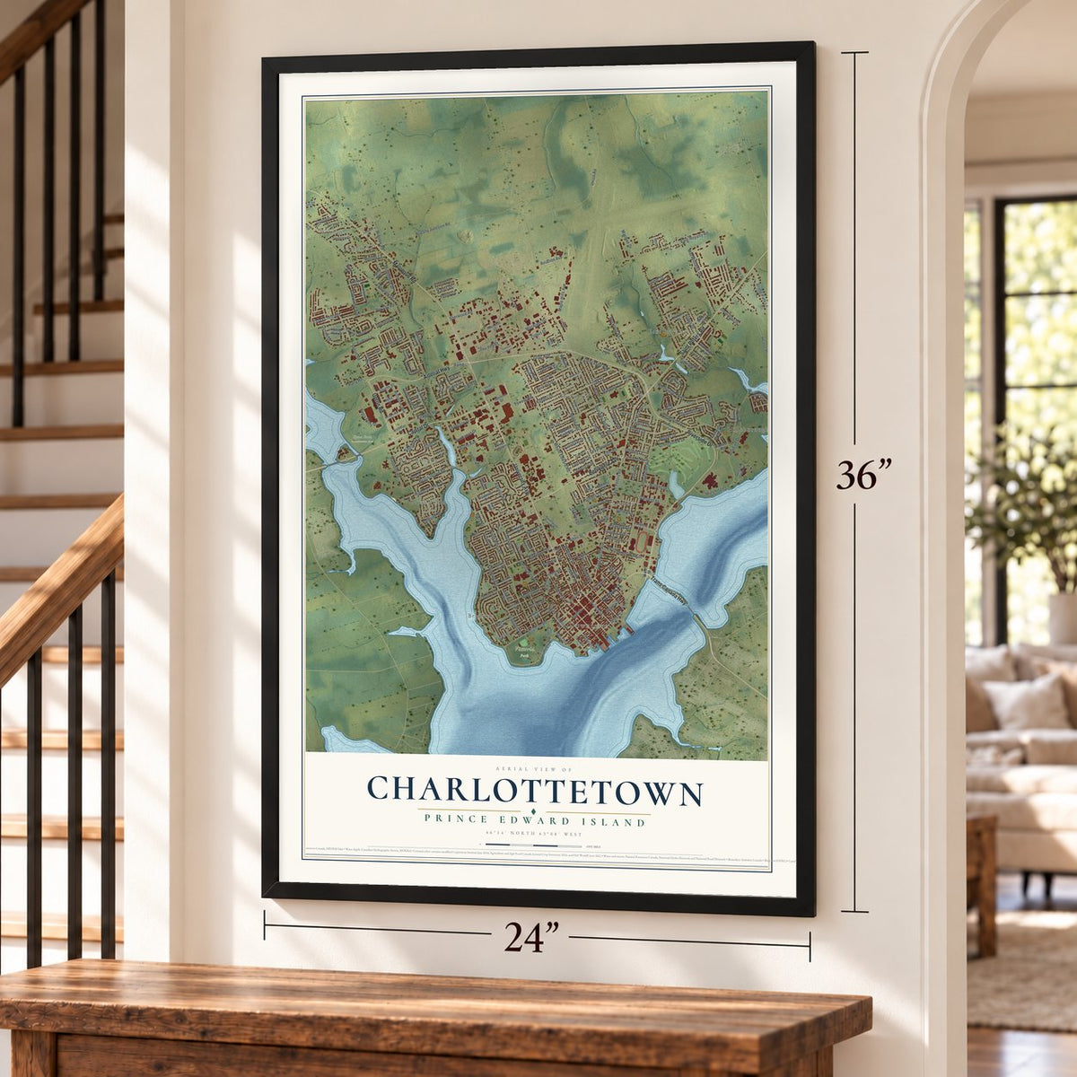
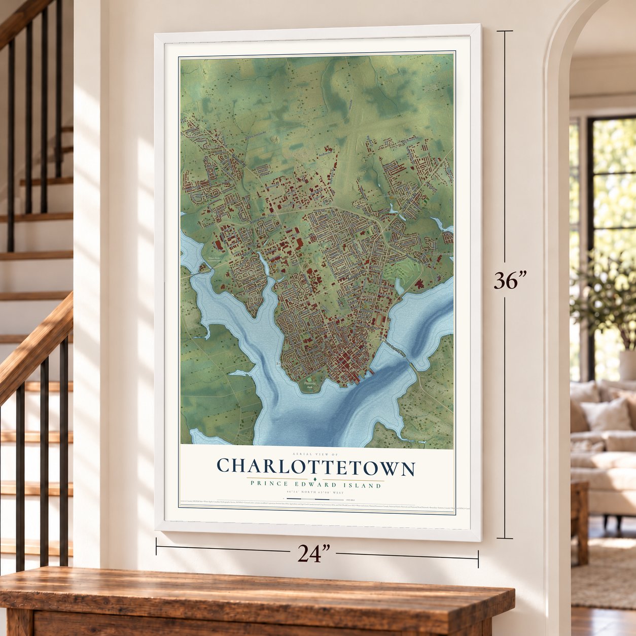
Three ways to hang it
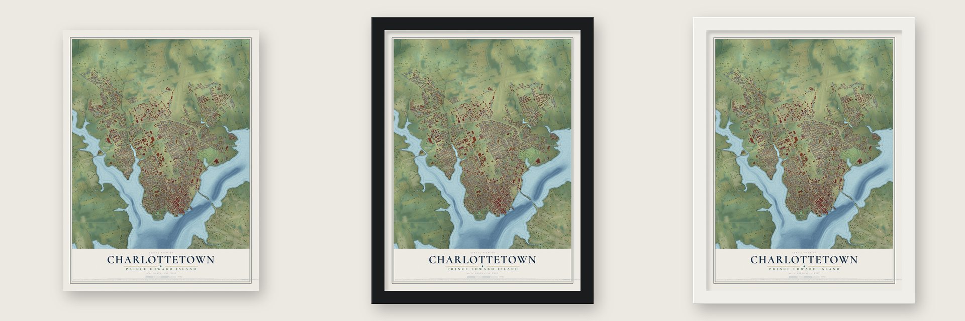
Unframed archival matte, a black wood frame or a white wood frame.
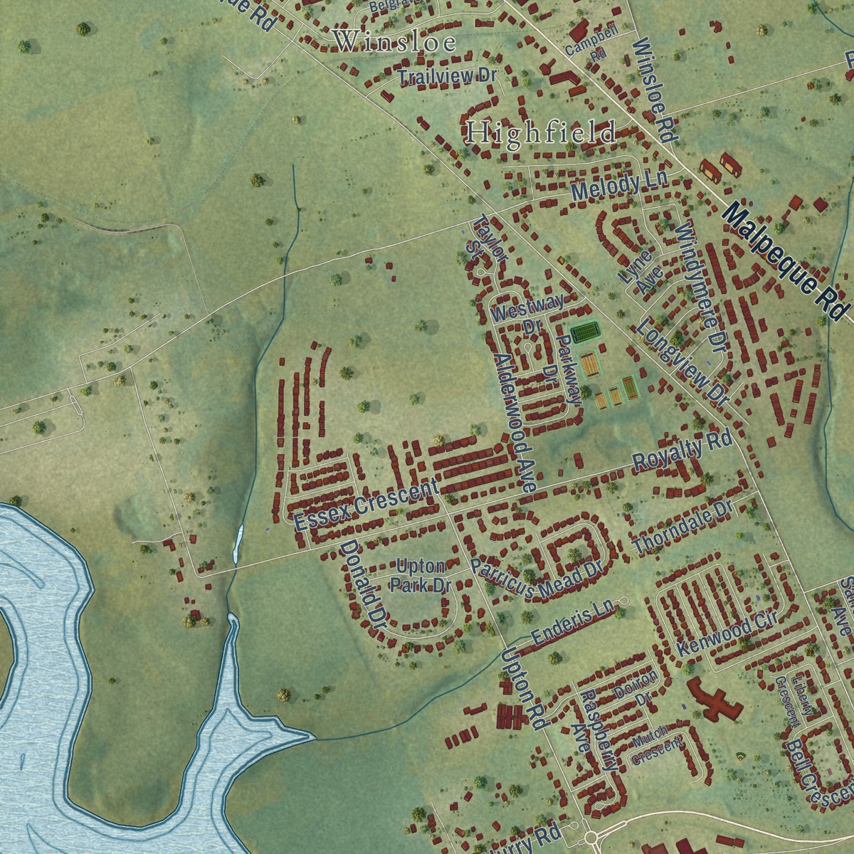
Up close
Geography Worth Displaying
This map was created using accurate cartographic data and authoritative geographic sources, including Natural Resources Canada, Statistics Canada and OpenStreetMap. The map brings together terrain, waterways, roads, and building detail. The majority of the streets are labeled, houses are accurately depicted, and the topography is derived from government sources. Combining local data with carefully composed color and shading leads to this beautifully detailed Charlottetown artwork for your wall.
Rather than simply showing street outlines, we’ve included as many of the street names as we could reasonably fit on the map while keeping their names legible. Zoom in on the high resolution preview to see exactly what’s on the map. We truly set out to create a statement piece for anyone who loves Charlottetown. So whether it’s for you, or a gift for someone you love, we hope this map of Charlottetown brings back fond memories.
Read the story behind this map: Detailed Map of Charlottetown, Prince Edward Island.

Find your street
Names on the Charlottetown map
Every name below is printed on this map. Look for your street, your school, the park where you played, or the pond down the road.
Places and landmarks13
- Downtown
- Winsloe
- Highfield
- Upton Farm Conservation Area
- Victoria Park
- East Royalty
- Parkdale
- Sherwood
- Hillsborough Park
- Spring Park
- Lewis Point
- West Royalty
Show all 13 places
- Brighton
Streets and roads235
- Arterial Highway
- Riverside Drive
- Capital Drive
- Trans Canada Highway
- Grafton Street
- Saint Peters Road
- University Avenue
- Belvedere Avenue
- Malpeque Road
- Upton Road
- Mount Edward Road
- North River Road
- Ramp
- Allen Street
- Longworth Avenue
- Euston Street
- Edward Street
- Walthen Drive
- Towers Road
- Brackley Point Road
- Orlebar Street
- Summer Street
- Gower Street
- Kenlea Drive
- Harley Street
- Kensington Road
- Oak Drive
- Lower Malpeque Road
- Park Street
- Beach Grove Road
Show all 235 streets
- Belmont Street
- Kirkwood Drive
- Atlantic Road
- Nassau Street
- Spring Park Road
- Queen Street
- Patterson Drive
- Trafalgar Street
- Norwood Road
- Sherwood Road
- Acadian Drive
- Scott Street
- Maple Avenue
- Beasley Avenue
- Spring Lane
- Buchanan Drive
- MacRae Drive
- Fitzroy Street
- Prince Street
- Royalty Road
- Barbour Circle
- Edinburgh Drive
- Maypoint Road
- McGill Avenue
- Mariner Drive
- Melody Lane
- Northridge Parkway
- Kirkdale Road
- Brighton Road
- Essex Crescent
- Kent Street
- East Royalty Road
- Parkside Drive
- Irwin Drive
- Ash Drive
- Alderwood Avenue
- Pownal Street
- Green Street
- Pope Avenue
- Winsloe Road
- Brows Lane
- Gordon Drive
- Lilac Avenue
- Palmers Lane
- Gates Drive
- Goodwill Avenue
- York Lane
- Hunter Lane
- Fairview Drive
- Pine Drive
- Fourth Street
- Herbert Street
- Murchison Lane
- Water Street
- Sydney Street
- Garfield Street
- Gardiner Drive
- Lily Pond Drive
- Longview Drive
- Cedar Avenue
- Hunters Creek Drive
- Hillstrom Avenue
- MacWilliams Road
- Francis Lane
- Donald Drive
- Laurie Drive
- Oakland Drive
- MacAleer Drive
- England Circle
- Burns Avenue
- Vista Street
- Walker Drive
- Thomson Drive
- Maple Hills Avenue
- Ellis Road
- Union Road
- Hurry Road
- Scarlet Avenue
- Windymere Drive
- Doncaster Avenue
- Linden Avenue
- Aviation Avenue
- Bolger Drive
- Angus Drive
- John Yeo Drive
- West Street
- Fox Run Drive
- Lori-Dale Avenue
- Heartz Road
- Greensview Drive
- Parent Street
- Royalty Junction Road
- Conamore Drive
- Glenthorn Avenue
- Cobirt Drive
- Regis Duffy Drive
- Bridle Path Lane
- Ferndale Drive
- Penny Lane
- Elena Court
- Karen Drive
- Katie Drive
- Gerald Street
- Spencer Drive
- Hunt Avenue
- Ralden Avenue
- Upper Prince Street
- Darte Drive
- Pioneer Avenue
- Connolly Street
- Raspberry Avenue
- Charlotte Drive
- Braemore Avenue
- Spring Street
- Rochford Street
- Lincolnwood Drive
- Centennial Drive
- Westway Drive
- Westview Drive
- Admiral Street
- Kenwood Circle
- Greenwood Drive
- Taylor Street
- Birch Hill Drive
- Parkwood Crescent
- Andrews Court
- Nottingham Avenue
- Arcona Drive
- Villa Avenue
- Upton Park Drive
- MacKay Drive
- Salisbury Avenue
- Lyne Avenue
- Mulberry Avenue
- Beer Street
- River Ridge Drive
- Bell Crescent
- Johnson Avenue
- Miller Street
- Parkway Drive
- Sunset Drive
- Park Avenue
- Parricus Mead Drive
- Thorndale Drive
- Brittany Drive
- Robertson Road
- Deacon Grove Lane
- Massey Drive
- Horseshoe Boulevard
- High Street
- Emerald Drive
- Third Street
- Blythe Crescent
- Friar Drive
- Croker Street
- Raiders Road
- Trailview Drive
- Enderis Lane
- Nash Drive
- Nicholas Lane
- MacLeod Court
- Grant Street
- Day Avenue
- Confederation Street
- Exhibition Drive
- Colonel Gray Drive
- Young Street
- McCarville Street
- Poplar Avenue
- Doiron Drive
- Falconwood Drive
- Heather Avenue
- Hawthorne Avenue
- Terry Fox Drive
- Victoria Park Roadway
- Moreau Drive
- Enman Crescent
- Dunkirk Street
- MacArthur Drive
- Saint Dunstan Street
- Sycamore Avenue
- Ravenwood Drive West
- Brookdale Drive
- Newland Crescent
- Desbrisay Crescent
- Shamrock Drive
- Sidmount Avenue
- Rosemount Drive
- Campbell Road
- Inkerman Drive
- King Street
- Skyline Drive
- Belgrave Drive
- Hillside Drive
- Valdane Avenue
- Haviland Street
- Comanche Lane
- Wallace Drive
- Superior Crescent
- Liberty Crescent
- Callbeck Crescent
- Mutch Crescent
- Bonnie Blink Drive
- Barrymore Court
- Kerry Avenue
Names are listed as they appear on the printed map. Zoom into the product photos to find them.
Keep exploring
We've mapped more than 41,000 towns. Find yours, or the town of someone you love.
The search covers every state.
The art of mapping a place
How This Map Was Made
Real places. Remarkable detail. Discover the layers that turn geographic data into a map of home.

The view from above
Aerial imagery reveals the character of the land: woodland, open fields, and the patterns of a place.

The shape of the land
Elevation data brings hills, valleys, and subtle changes in the landscape into view.

The details of home
Roads, waterways, and building footprints come together to make the map feel unmistakably local.

Geography becomes art
Considered color, shading, and typography bring the layers together in a map made for your wall.


Process illustrated with Mendon, Massachusetts. Aerial imagery: USDA NAIP. Terrain: USGS 3D Elevation Program. Map details and finished artwork: KNOWOL.
The Details
About This Print
Choose an archival matte print, or a black or white Ayous wood frame. The archival matte print is unframed.
Select your size and finish above to see the matching product image and price.
Materials & Craftsmanship
A contemporary map with the character of a classic atlas, printed on archival matte paper. Optional frames are made from Ayous wood.
Your printed map does not include the watermark shown in the full-map preview.
Shipping & Delivery
Free shipping within the United States. Every print is made to order in the USA.
Buying a gift? Add a note in your cart and we'll include it. We never put prices in the package.
Prints ship within 2 to 3 business days. Allow 7 to 10 days total from ordering for delivery. Timing may vary during holidays or periods of high order volume.
Read our shipping policy.
Returns and damaged prints
Each print is made to order. Change-of-mind refunds are not available after production.
If your print arrives damaged, misprinted or incorrect, contact support@knowol.com within 30 days of receiving it. Include your order number, photos and a description of the issue.
Read our full refund and replacement policy. For questions about your order, email support@knowol.com.