
Search for another town




Free U.S. delivery 7 to 10 days after you order
Chelan, Washington Map Art
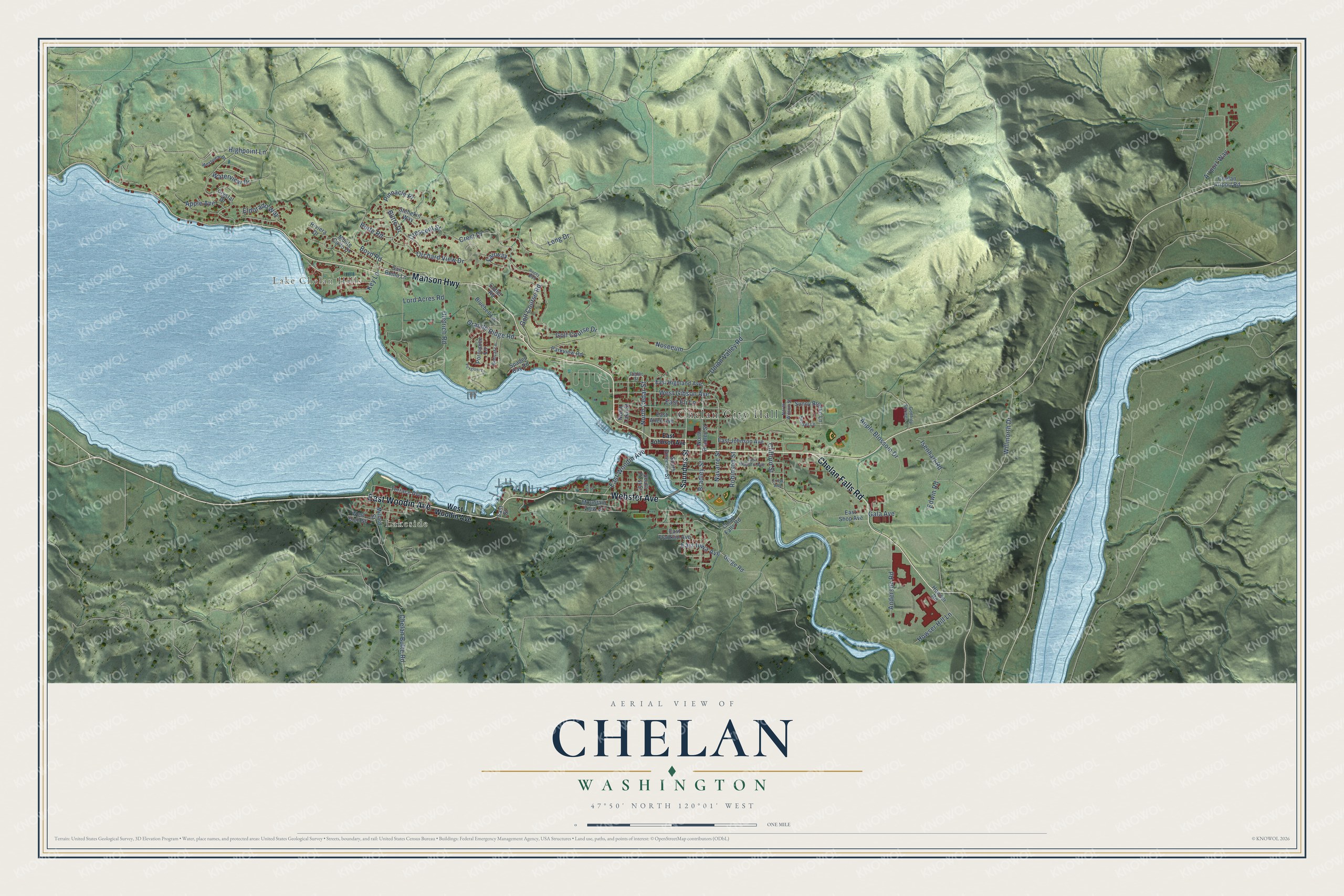
A new map of Chelan, Washington, made in 2026 and printed to order on thick archival matte paper.
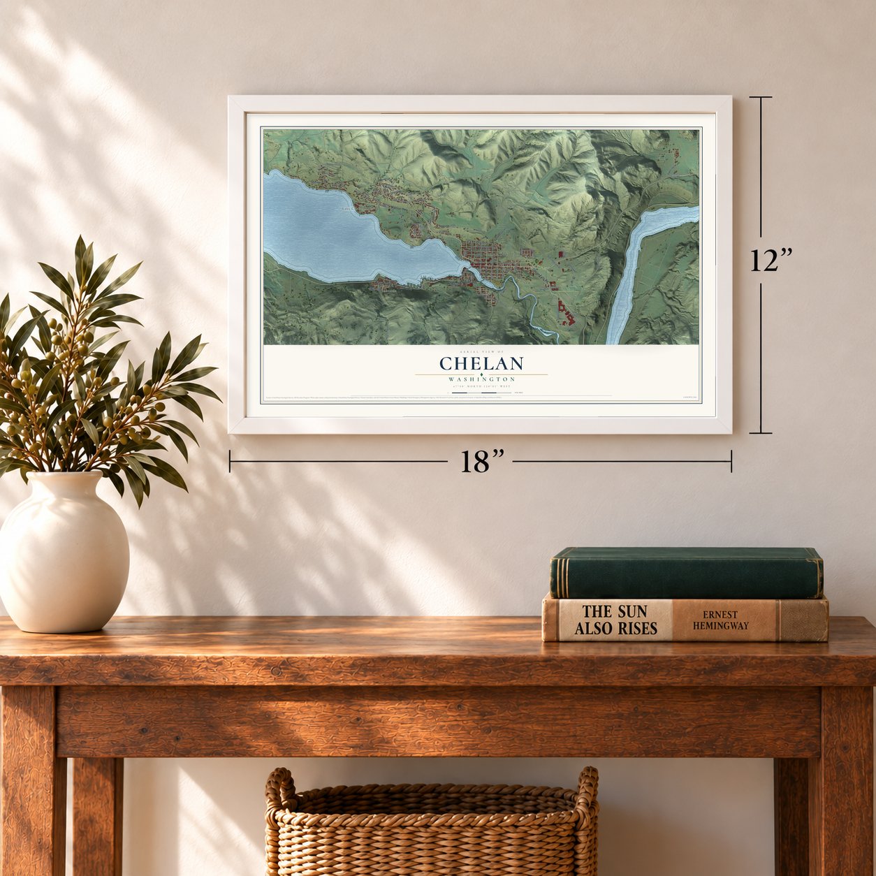
12" x 18" Archival Matte Print
A Map of Home. A Work of Art.
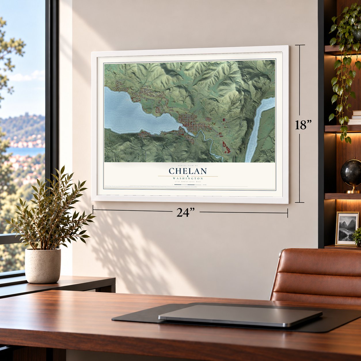
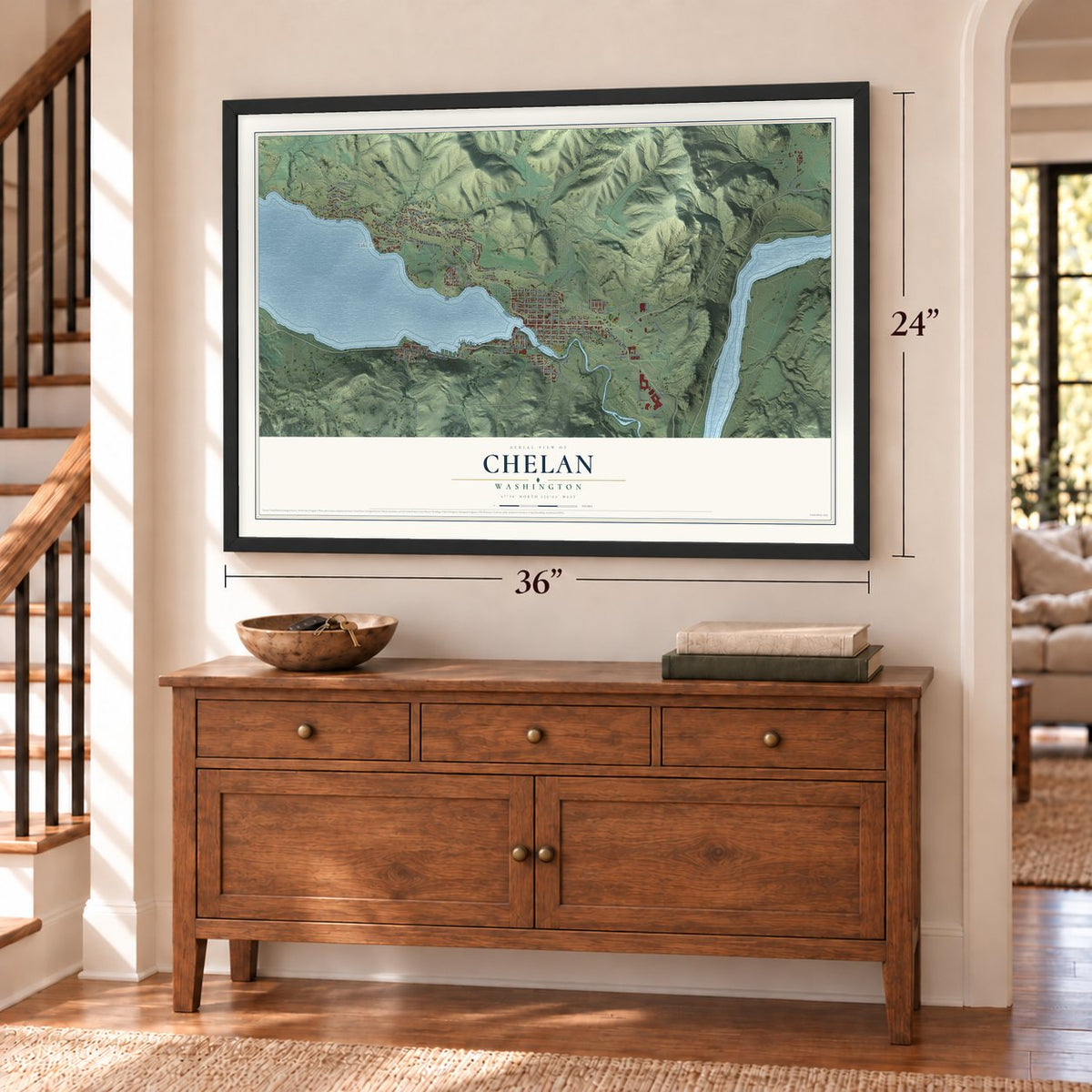
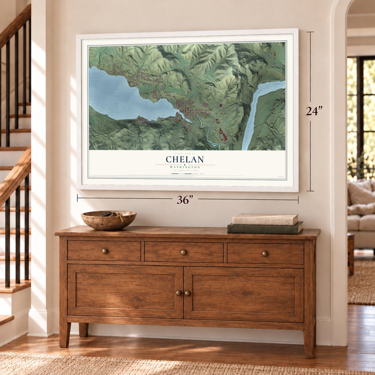
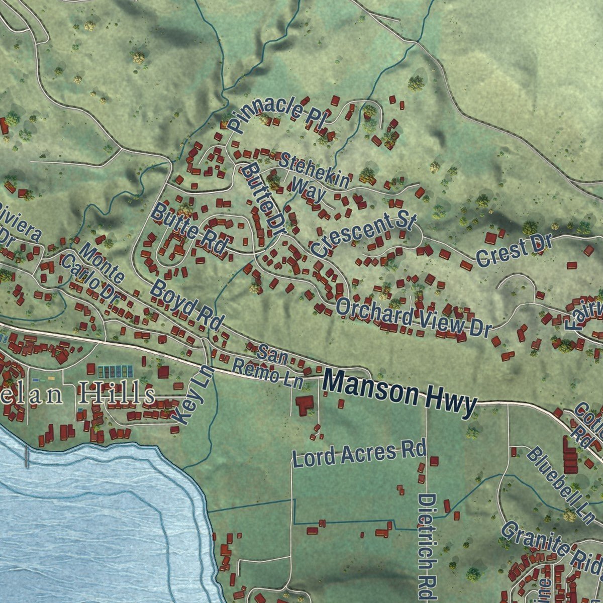
Explore Chelan, Washington from a whole new perspective. Created using aerial imagery and detailed geographic data, this map captures Chelan building by building, with labeled streets, familiar landmarks, and shaded topographical relief that highlights the natural contours of the landscape.
Combining modern data with the timeless character of a vintage atlas, this map is just as interesting up close as it is beautiful on the wall. Whether you grew up in Chelan, spent memorable years there, or call it home today, this unique map is a great way to celebrate a place that means something to you. Zoom in on the preview to look for your street, and then order a print to put your memories on the wall.
Three ways to hang it
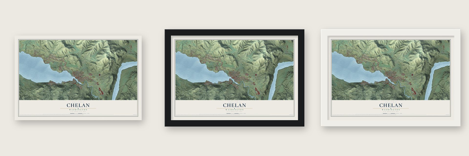
Unframed archival matte, a black wood frame or a white wood frame.
Up close
Geography Worth Displaying
This map was created using accurate cartographic data and authoritative geographic sources, including the U.S. Geological Survey and the Census Bureau. The map brings together terrain, waterways, roads, and building detail. The majority of the streets are labeled, houses are accurately depicted, and the topography is derived from government sources. Combining local data with carefully composed color and shading leads to this beautifully detailed Chelan artwork for your wall.
Rather than simply showing street outlines, we’ve included as many of the street names as we could reasonably fit on the map while keeping their names legible. Zoom in on the high resolution preview to see exactly what’s on the map. We truly set out to create a statement piece for anyone who loves Chelan. So whether it’s for you, or a gift for someone you love, we hope this map of Chelan brings back fond memories.
Read the story behind this map of Chelan, Washington from 2026.

About Chelan, Washington
Chelan is a city of 4,222 people in Chelan County, at the southeast end of Lake Chelan, where the Chelan River leaves the lake. The Chelan people, a Salish-speaking tribe, lived here first. Smallpox and measles reached them before white settlers did, and by the time David Thompson came to the Columbia in 1811, an estimated 90% of them had died.
William Sanders and Henry Dumpke became the first European settlers in 1886, after a hard trip over cliffs and streams that cost them their horse. The Chelan welcomed them and urged them to stake claims, and more settlers followed. In 1888 L.H. Woodin, a Minneapolis realtor and lumber broker, paddled up the lake in a skiff and liked it enough to build a sawmill at its foot. Both men now have Chelan streets named for them.
“The first non-Indians to live in the Chelan and Wenatchee valleys were Chinese prospectors looking for gold in the rivers and streams, starting in about 1863.”
- Chief Moses speaks for the tribeThe Chelan had long made decisions in small family groups rather than under one chief. When settlers arrived, the tribe saw that a single voice would help it hold its land. Chief Moses, a Shahaptin speaker from the Columbia Basin and Okanagan rather than a Chelan, agreed to represent the people. He came close to winning them a large reservation, but the small tribe could not keep out the growing number of miners.
- Camp Chelan's one yearThe fight over land was still unsettled in the 1870s, so the U.S. Army sent Lt. Colonel Henry Clay Merriam to the foot of the lake, where he built Camp Chelan to keep watch over the Moses Columbia Reservation. Because cliffs hemmed in most of the lake, soldiers cut a rough road from the fort down to the Columbia, where mail from Walla Walla arrived and Chelan Falls later grew. The troops moved to Fort Spokane in October 1880.
- Orchards without irrigationRanchers found that orchards would grow here without irrigation, and lots in the newly platted town sold quickly. A post office opened in 1890 and a school in 1892, and a resort hotel went up for the scenery. The Panic of 1893 brought hard times, but Chelan came through better than some towns, and its first bank opened that same year.
- Incorporated May 7, 1902Once it was incorporated, the city moved quickly to add services. In 1903 it got electric lights and began drawing water from Donaldson Springs. Chelan's first town hall was built in 1904 and served the city until it burned in 1927.
Find your street
Names on the Chelan map
Every name below is printed on this map. Look for your street, your school, the park where you played, or the pond down the road.
Places and landmarks3
- Chelan City Hall
- Lake Chelan Hills
- Lakeside
Streets and roads84
- East Woodin Avenue
- Manson Highway
- Chelan Falls Road
- Webster Avenue
- Long Drive
- Golf Course Road
- North Cedar Street
- Bradley Street
- Willmorth Drive
- Clifford Street
- West Gibson Avenue
- Highpoint Lane
- Butte Road
- East Eli Lane
- Noseeum
- Chelan Butte Road
- Apple Blossom Drive
- Boyd Road
- Golf Course Drive
- Lord Acres Road
- Orchard View Drive
- Dietrich Road
- Granite Ridge Road
- Airport Way
- Isenhart Road
- Butte Drive
- Union Valley Road
- Eldorado Way
- Anderson Road
- Pinnacle Place
Show all 84 streets
- Waterview Drive
- East Iowa Avenue
- Apple Avenue
- Crescent Street
- Key Lane
- Howser Hill Lane
- Crest Drive
- Edwin Road
- Navarre Street
- Fairway
- Robinson Street
- Gala Avenue
- West Woodin Avenue
- Saunders Street
- North Bradley Street
- Terrace Avenue
- Crystal Drive
- East Highland Avenue
- South Emerson Street
- East Shop Avenue
- Millard Street
- Spader Bay Road
- Bluebell Lane
- East Allen Avenue
- East Johnson Avenue
- Porcupine Lane
- San Remo Lane
- Monte Carlo Drive
- Riviera Drive
- Sunny Brooke Lane
- Stehekin Way
- West High Street
- Howser Road
- North Lake Street
- Chelan Airport Road
- Mountain View Drive
- Chiari Falls Road
- Parkview Road
- East Franklin Avenue
- Gorge Road
- South First Street
- Cotler Road
- East Street
- Trow Avenue
- Cedar Street
- East Wapato Avenue
- North Wilson Street
- Godfrey Springs Lane
- Sunset Lane
- Bobcat Lane
- Westview Drive
- Bogey Boulevard
- Foxglove Lane
- Park Street
Names are listed as they appear on the printed map. Zoom into the product photos to find them.
The art of mapping a place
How This Map Was Made
Real places. Remarkable detail. Discover the layers that turn geographic data into a map of home.

The view from above
Aerial imagery reveals the character of the land: woodland, open fields, and the patterns of a place.

The shape of the land
Elevation data brings hills, valleys, and subtle changes in the landscape into view.

The details of home
Roads, waterways, and building footprints come together to make the map feel unmistakably local.

Geography becomes art
Considered color, shading, and typography bring the layers together in a map made for your wall.


Process illustrated with Mendon, Massachusetts. Aerial imagery: USDA NAIP. Terrain: USGS 3D Elevation Program. Map details and finished artwork: KNOWOL.
The Details
About This Print
Choose an archival matte print, or a black or white Ayous wood frame. The archival matte print is unframed.
Select your size and finish above to see the matching product image and price.
Materials & Craftsmanship
A contemporary map with the character of a classic atlas, printed on archival matte paper. Optional frames are made from Ayous wood.
Your printed map does not include the watermark shown in the full-map preview.
Shipping & Delivery
Free shipping within the United States. Every print is made to order in the USA.
Buying a gift? Add a note in your cart and we'll include it. We never put prices in the package.
Prints ship within 2 to 3 business days. Allow 7 to 10 days total from ordering for delivery. Timing may vary during holidays or periods of high order volume.
Read our shipping policy.
Returns and damaged prints
Each print is made to order. Change-of-mind refunds are not available after production.
If your print arrives damaged, misprinted or incorrect, contact support@knowol.com within 30 days of receiving it. Include your order number, photos and a description of the issue.
Read our full refund and replacement policy. For questions about your order, email support@knowol.com.
Find your town
Looking for another city?
Find a map of home in our Washington collection, or any town in the country.
Nearby
Maps of towns near Chelan
Know someone from one of these towns? Their map makes a great gift.
 Chelan Falls
, Washington
From $39.99See the map
 Manson
, Washington
From $39.99See the map
 Waterville
, Washington
From $39.99See the map
More maps nearby: Entiat, Pateros, Mansfield, Bridgeport and Methow.