
Search for another town





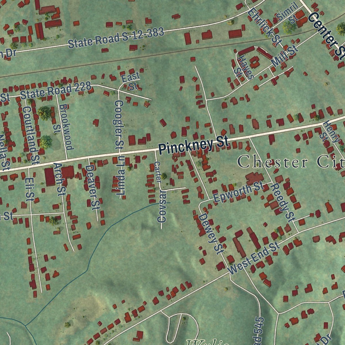
Free U.S. delivery 7 to 10 days after you order
Chester, South Carolina Map Art
A new map of Chester, South Carolina, made in 2026 and printed to order on thick archival matte paper.
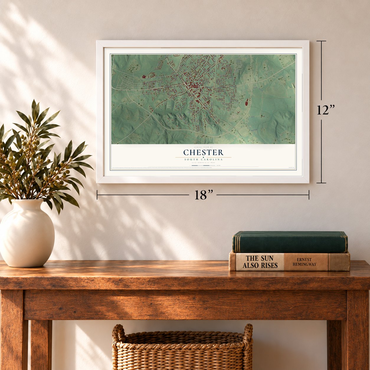
12" x 18" Archival Matte Print
A Map of Home. A Work of Art.
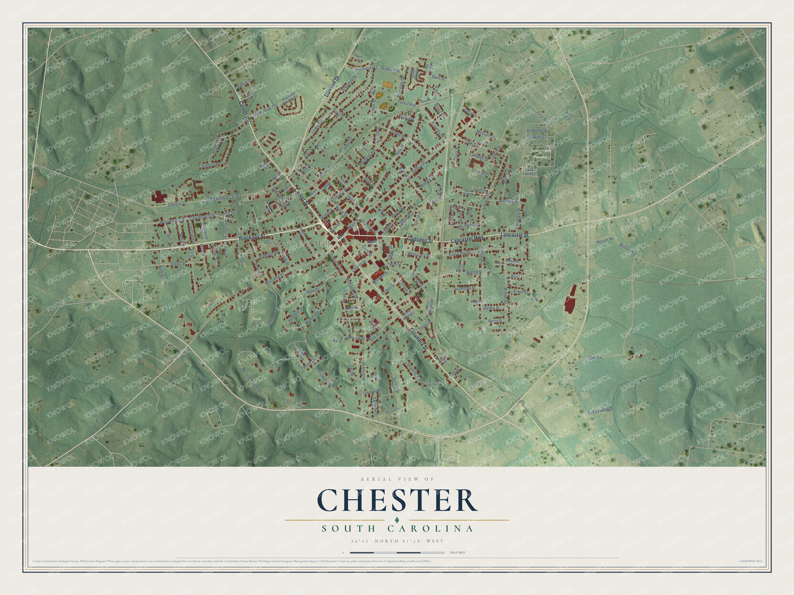
Explore Chester, South Carolina from a whole new perspective. Created using aerial imagery and detailed geographic data, this map captures Chester building by building, with labeled streets, familiar landmarks, and shaded topographical relief that highlights the natural contours of the landscape.
Combining modern data with the timeless character of a vintage atlas, this map is just as interesting up close as it is beautiful on the wall. Whether you grew up in Chester, spent memorable years there, or call it home today, this unique map is a great way to celebrate a place that means something to you. Zoom in on the preview to look for your street, and then order a print to put your memories on the wall.
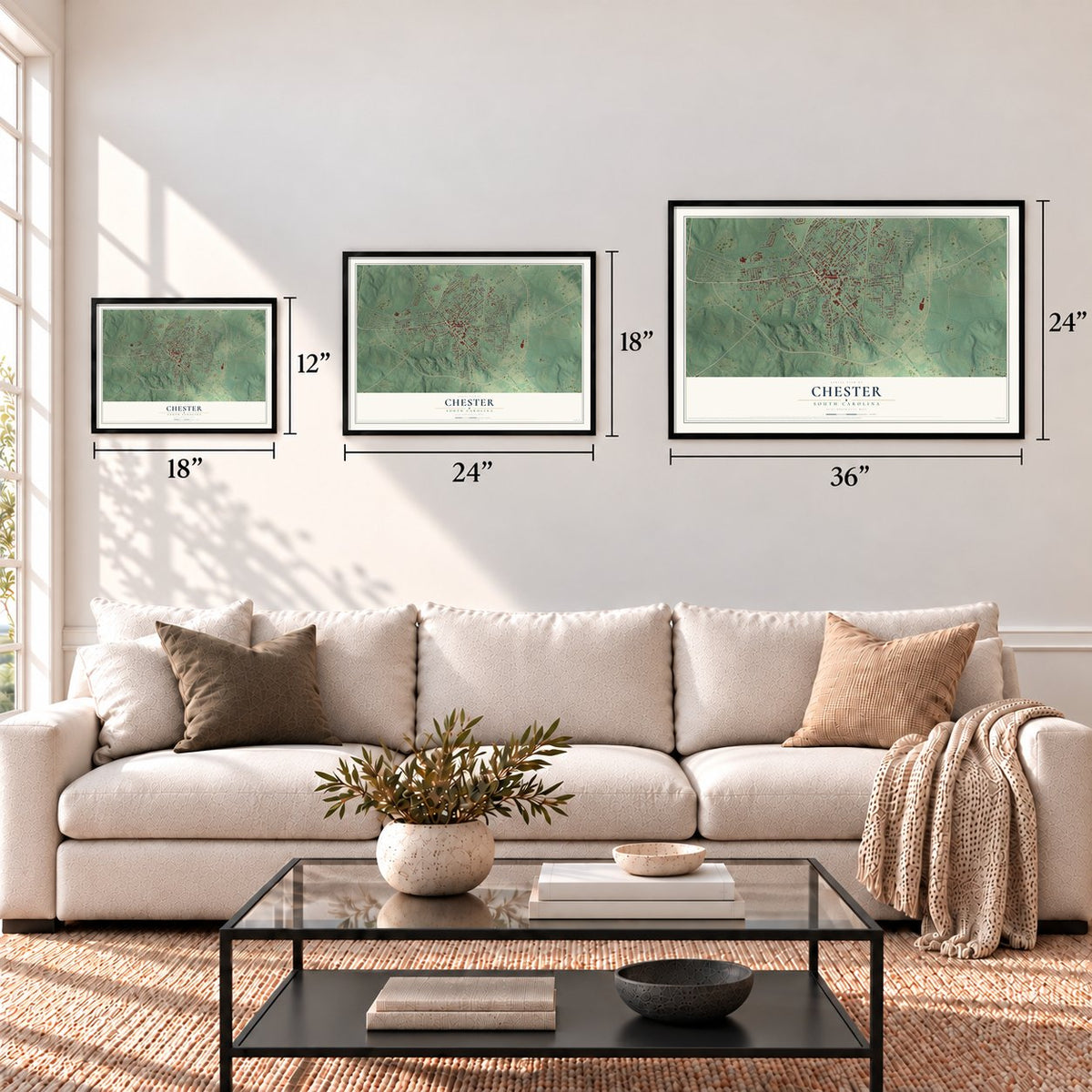
Three ways to hang it
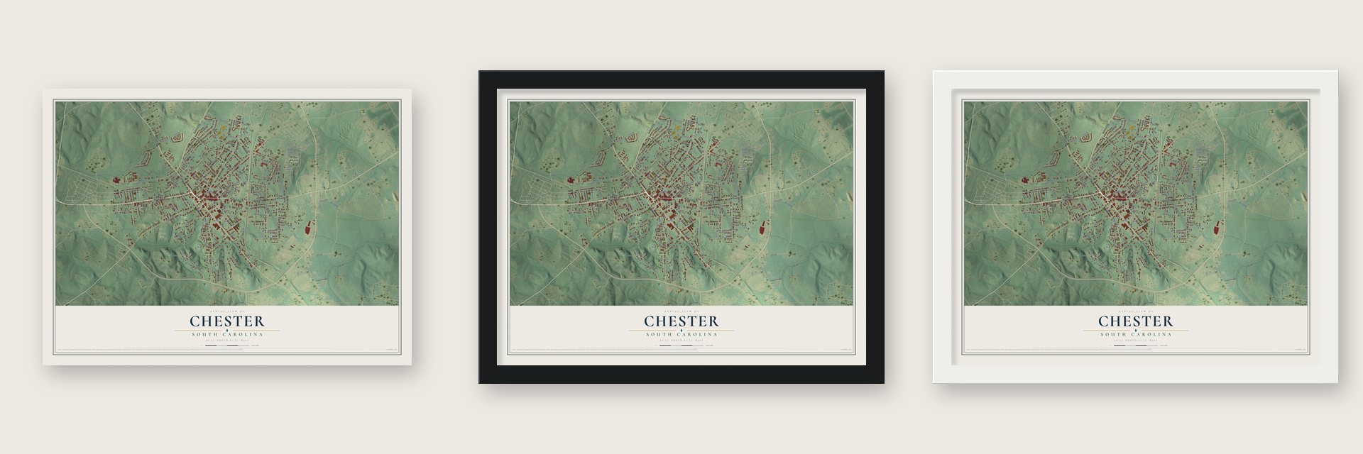
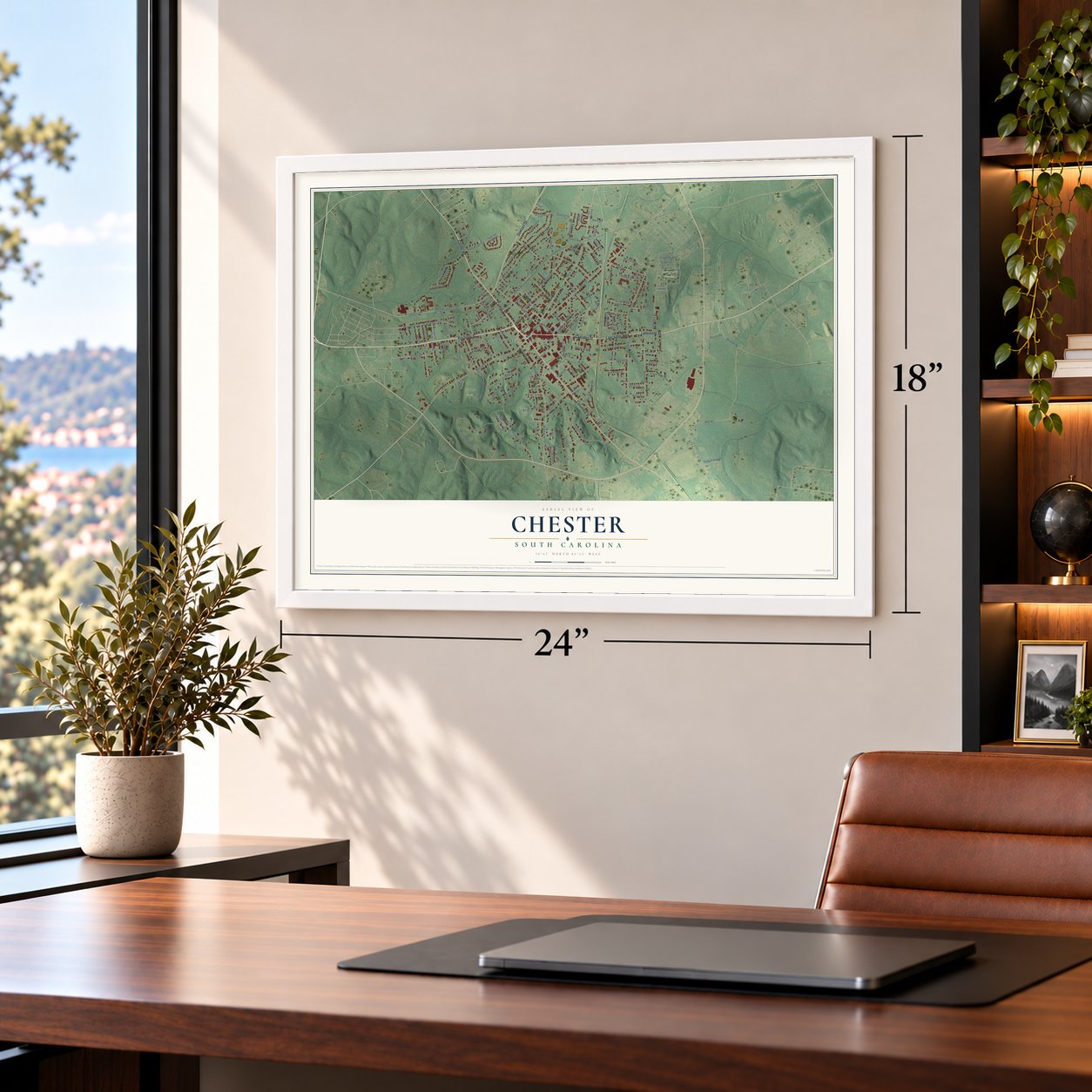
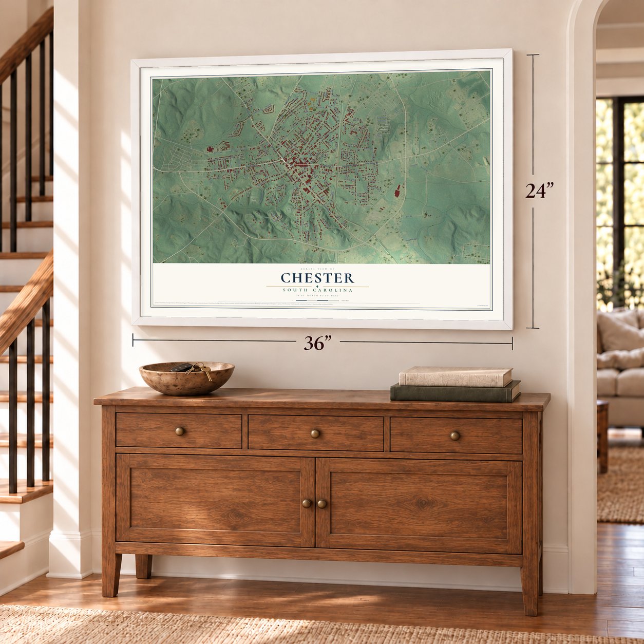
Unframed archival matte, a black wood frame or a white wood frame.
Up close
Geography Worth Displaying
This map was created using accurate cartographic data and authoritative geographic sources, including the U.S. Geological Survey and the Census Bureau. The map brings together terrain, waterways, roads, and building detail. The majority of the streets are labeled, houses are accurately depicted, and the topography is derived from government sources. Combining local data with carefully composed color and shading leads to this beautifully detailed Chester artwork for your wall.
Rather than simply showing street outlines, we’ve included as many of the street names as we could reasonably fit on the map while keeping their names legible. Zoom in on the high resolution preview to see exactly what’s on the map. We truly set out to create a statement piece for anyone who loves Chester. So whether it’s for you, or a gift for someone you love, we hope this map of Chester brings back fond memories.
Read the story behind this map of Chester, South Carolina from 2026.
About Chester, South Carolina
Chester is a city of 5,269 people and the county seat of Chester County, set just west of the county's center. For much of its history the community was segregated, and many African American families lived in East Chester, among them the principal and teachers of Finley School.
Brainerd Institute, a school for African American children, also stood in Chester. Industry arrived in 1888, when local businessmen organized the town's first cotton mill. The Chester City Hall and Opera House, which joined the National Register in 1973, stands within the city today.
“flung himself from his horse and cried for a rescue, but the officer commanding the escort seized him, threw him back like a child into the saddle, and marched on.”
- The Aaron Burr RockFormer Vice-President Aaron Burr came through Chester under guard on his way to Richmond, Virginia, where he faced trial for treason. The large stone he stood on while crying out for a rescue was later inscribed, and it is kept in the town center, where locals know it as the Aaron Burr Rock.
- The first cotton mill, 1888Local entrepreneurs organized the Chester Manufacturing Company in 1888 as the town's first cotton mill. It began running one hundred looms and had a dye works of its own.
- Chiefs, filmed in 1983The miniseries Chiefs, based on Stuart Woods' novel, was filmed in Chester over three months in 1983. Its cast included Charlton Heston, Keith Carradine, Billy Dee Williams and Danny Glover, and it earned three prime-time Emmy nominations. In 2014 Catherine Fleming Bruce worked with local groups to hold a celebration of the filming in Chester, and Woods himself came back as one of the presenters.
Find your street
Names on the Chester map
Every name below is printed on this map. Look for your street, your school, the park where you played, or the pond down the road.
Places and landmarks4
- Chester City Hall
- Evergreen Cemetery
- Wylie Park
- Brooklyn
Streets and roads172
- Center Street
- Gadsden Street
- Columbia Street
- Pinckney Street
- Dawson Drive
- Lancaster Highway
- Lancaster Street
- Center Road
- Main Street
- Saluda Street
- York Street
- Hudson Street
- West End Street
- Church Street
- Forest Avenue
- Brawley Street
- State Road S-12-383
- Belt Road
- Ashford Street
- Walnut Street
- McLure Woods Drive
- Wilson Street
- Harris Street
- Crestwood Circle
- Sunset Drive
- Jeter Street
- State Road 545
- Hinton Street
- Wylie Street
- Park Drive
Show all 172 streets
- Crestwood Drive
- Loomis Street
- Cemetary Street
- State Road 228
- West Elliott Street
- Murray Street
- Mill Street
- Shamrock Drive
- East Lacy Street
- Woodland Drive
- Hemphill Avenue
- Frazier Drive
- West Lacy Street
- Stadium Drive
- Hillcrest Drive
- Foote Street
- Pine Street
- Tremont Drive
- Gregg Avenue
- Mobley Street
- Steinkuhler Street
- Hamilton Street
- Oak Street
- College Street
- Cushman Drive
- Dewey Street
- Elliott Street
- First Street
- Ligon Street
- Spring Street
- Eli Street
- Freedom Drive
- Hope Street
- Ella Street
- Helen Street
- Peace Street
- Lowery Street
- White Street
- Academy Street
- Bailey Street
- Reedy Street
- Brendale Drive
- Palmetto Drive
- Floyd Street
- Cadz Street
- Branch Street
- King Street
- Caldwell Street
- Cestrian Drive
- Hardin Street
- Arch Street
- State Road 705
- Marquis Street
- Culp Street
- Dye Street
- McClure Street
- Peyton Street
- Lincoln Court
- Aiken Street
- Duke Power Drive
- Oakland Avenue
- Jewel Street
- School Street
- Carr Street
- Beltline Road
- Smith Street
- Bell Street
- Nella Street
- Fairview Drive
- McFadden Street
- Bird Street
- Courtland Street
- Erwin Street
- Rice Street
- Lynwood Avenue
- Epworth Street
- Hampton
- Deaver Street
- Berry Street
- Coogler Street
- Covsar
- Swift Street
- Hickory Lane
- Elizabeth Street
- Torbit Street
- Ehrlick Street
- Colonial Drive
- Gaston Street
- Abell Street
- Collins Street
- Cross Street
- Gregg Street
- Ike Street
- Paris Court
- Linda Lane
- Oates
- Lilly Street
- Henry Woods Drive
- Town and Country Lane
- State Road 612
- Odom Street
- Crescent Drive
- Henry Street
- Orchard Street
- State Road 837
- Hayes Street
- Brookwood Street
- State Road 489
- Wilbur Grant Street
- Juliet Street
- McAliley Street
- Honor Street
- Walker Street
- Stewart Street
- Recycle Road
- Red Bud Lane
- Pundt Street
- Wanda Lane
- Simril Street
- Glenn Street
- Old York Road
- Brooklyn Street
- State Street
- Alpha Lane
- Wright Street
- East Street
- White Oak Street
- Marwood Drive
- Maiden Lane
- Carter
- Sarah Street
- Jeter Heights
- Arbor Court
- Wesley Memorial Drive
- Fleming Circle
- State Road 739
- Sterling Street
- One Way Out Road
- Lincoln
- Babcock Drive
- Frances Street
- Brice Street
Names are listed as they appear on the printed map. Zoom into the product photos to find them.
The art of mapping a place
How This Map Was Made
Real places. Remarkable detail. Discover the layers that turn geographic data into a map of home.

The view from above
Aerial imagery reveals the character of the land: woodland, open fields, and the patterns of a place.

The shape of the land
Elevation data brings hills, valleys, and subtle changes in the landscape into view.

The details of home
Roads, waterways, and building footprints come together to make the map feel unmistakably local.

Geography becomes art
Considered color, shading, and typography bring the layers together in a map made for your wall.


Process illustrated with Mendon, Massachusetts. Aerial imagery: USDA NAIP. Terrain: USGS 3D Elevation Program. Map details and finished artwork: KNOWOL.
The Details
About This Print
Choose an archival matte print, or a black or white Ayous wood frame. The archival matte print is unframed.
Select your size and finish above to see the matching product image and price.
Materials & Craftsmanship
A contemporary map with the character of a classic atlas, printed on archival matte paper. Optional frames are made from Ayous wood.
Your printed map does not include the watermark shown in the full-map preview.
Shipping & Delivery
Free shipping within the United States. Every print is made to order in the USA.
Buying a gift? Add a note in your cart and we'll include it. We never put prices in the package.
Prints ship within 2 to 3 business days. Allow 7 to 10 days total from ordering for delivery. Timing may vary during holidays or periods of high order volume.
Read our shipping policy.
Returns and damaged prints
Each print is made to order. Change-of-mind refunds are not available after production.
If your print arrives damaged, misprinted or incorrect, contact support@knowol.com within 30 days of receiving it. Include your order number, photos and a description of the issue.
Read our full refund and replacement policy. For questions about your order, email support@knowol.com.
Find your town
Looking for another city?
Find a map of home in our South Carolina collection, or any town in the country.
Nearby
Maps of towns near Chester
Know someone from one of these towns? Their map makes a great gift.
 Eureka Mill
, South Carolina
From $39.99See the map
 Gayle Mill
, South Carolina
From $39.99See the map
 Lowrys
, South Carolina
From $39.99See the map
More maps nearby: Richburg, McConnells, Lockhart, Carlisle and Fort Lawn.