
Search for another town
Free U.S. delivery 7 to 10 days after you order
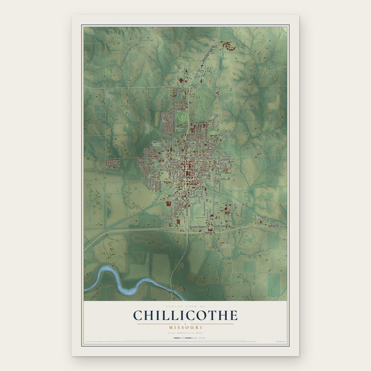
Chillicothe, Missouri Map Art
Building by building, with labeled streets and shaded relief.
12" x 18" Archival Matte Print
A Map of Home. A Work of Art.
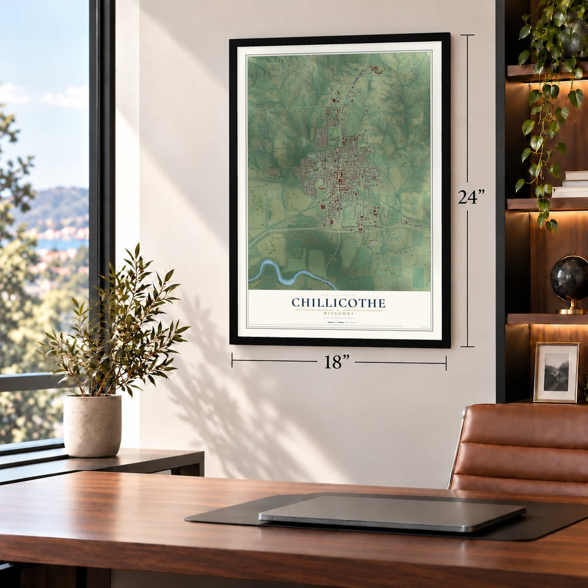
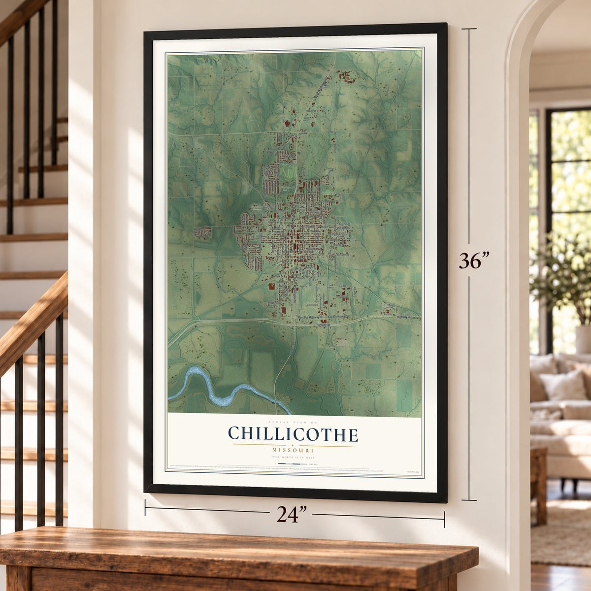
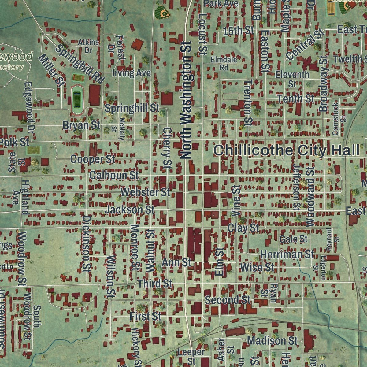
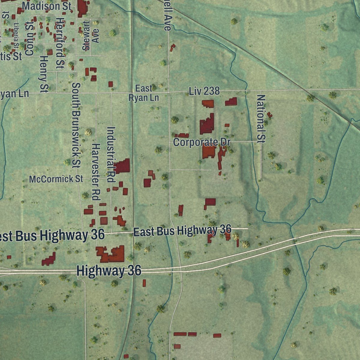
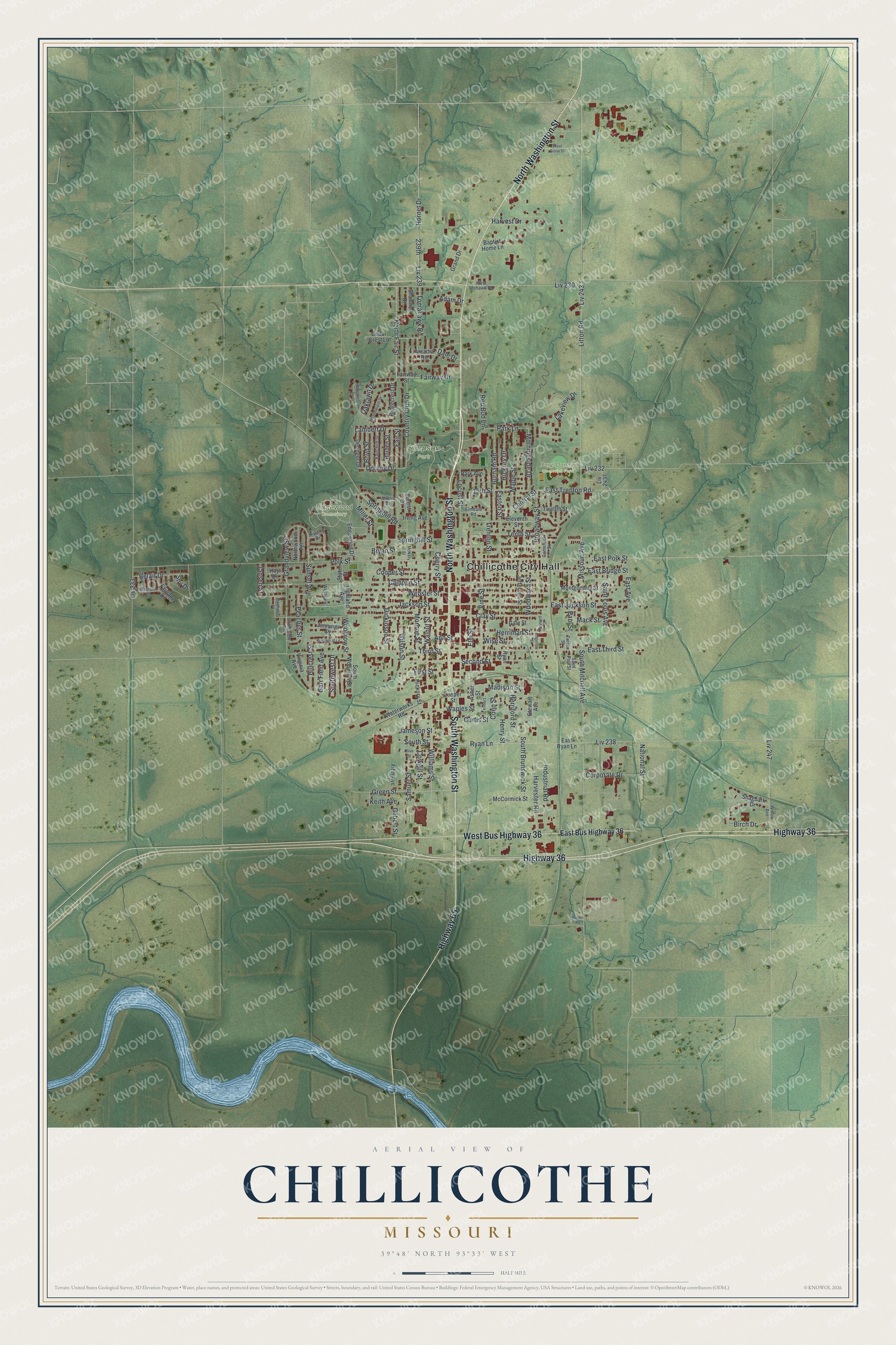
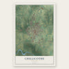
Explore Chillicothe, Missouri from a whole new perspective. Created using aerial imagery and detailed geographic data, this map captures Chillicothe building by building, with labeled streets, familiar landmarks, and shaded topographical relief that highlights the natural contours of the landscape.
Combining modern data with the timeless character of a vintage atlas, this map is just as interesting up close as it is beautiful on the wall. Whether you grew up in Chillicothe, spent memorable years there, or call it home today, this unique map is a great way to celebrate a place that means something to you. Zoom in on the preview to look for your street, and then order a print to put your memories on the wall.
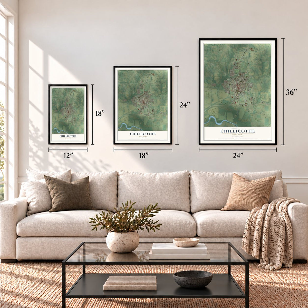
Three ways to hang it
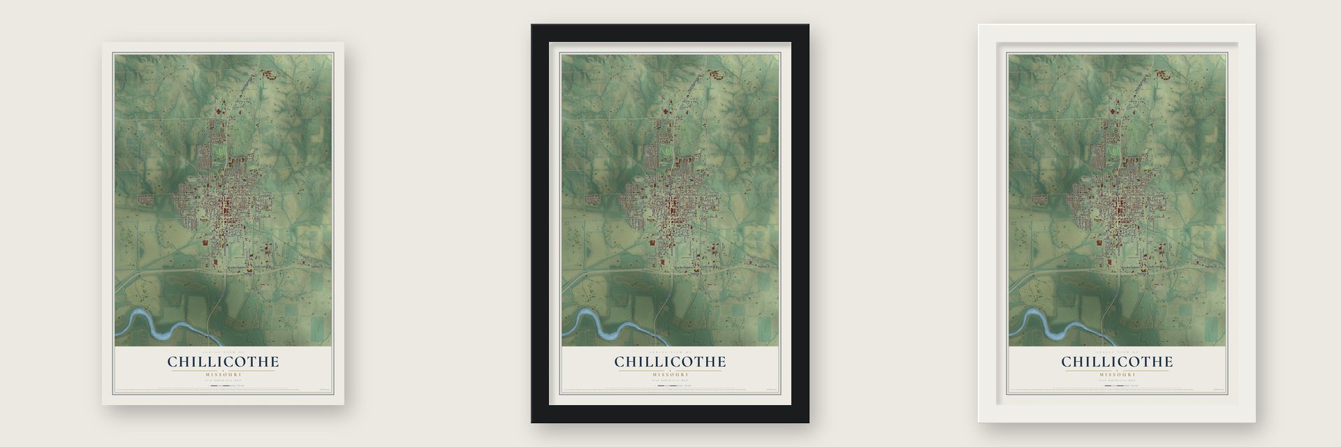
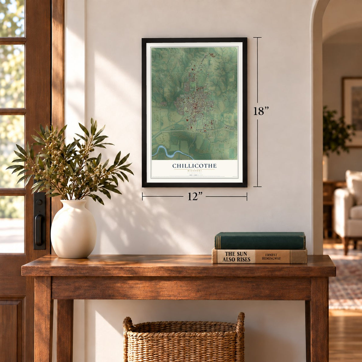
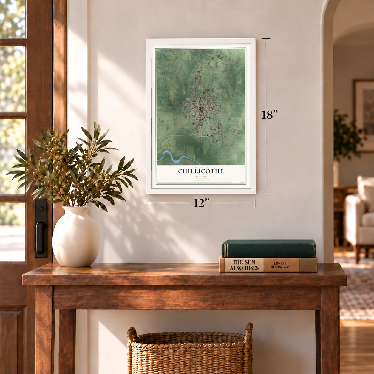
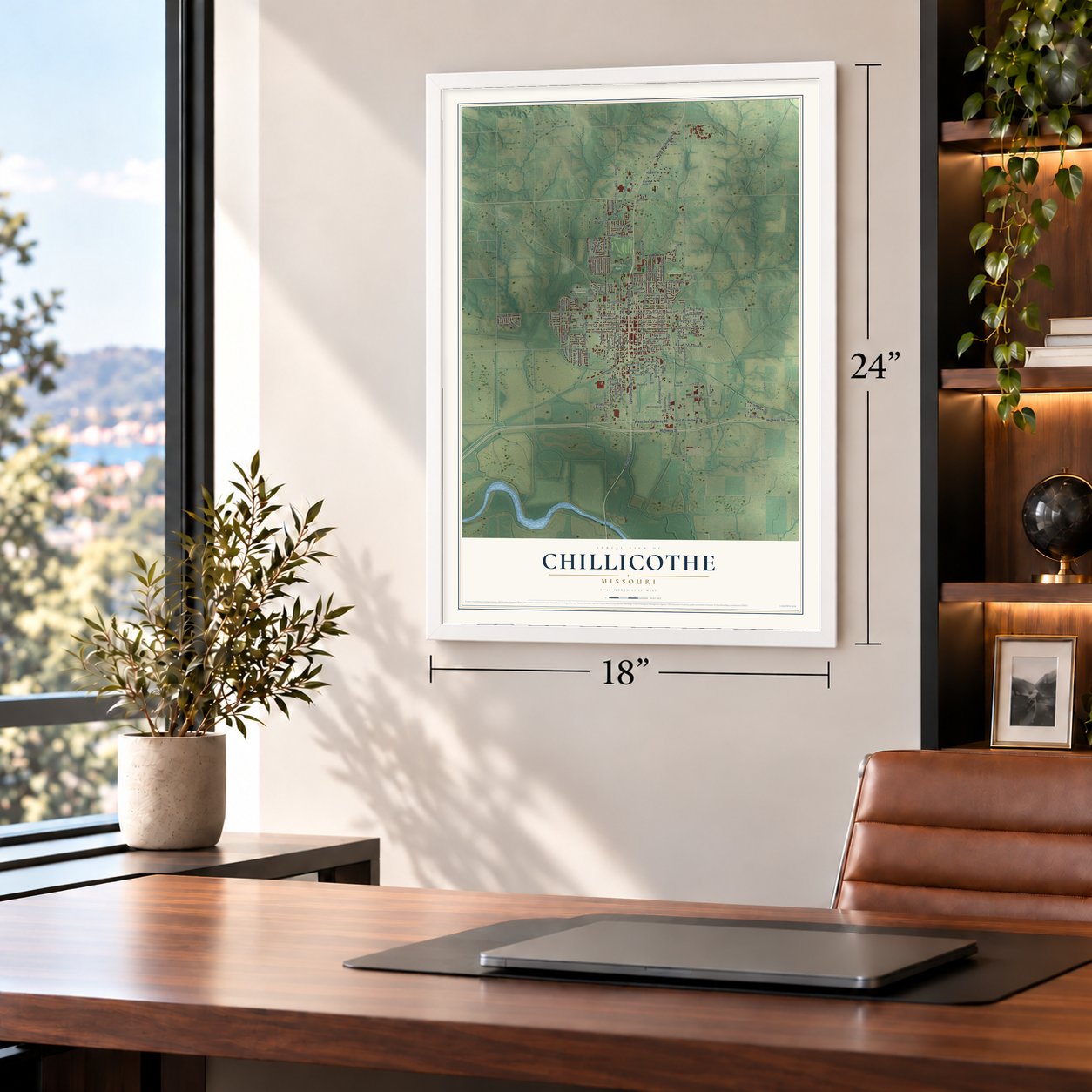
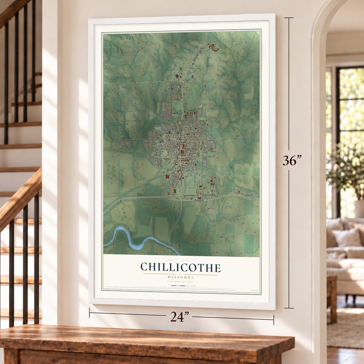
Unframed archival matte, a black wood frame or a white wood frame.
Up close
Geography Worth Displaying
This map was created using accurate cartographic data and authoritative geographic sources, including the U.S. Geological Survey and the Census Bureau. The map brings together terrain, waterways, roads, and building detail. The majority of the streets are labeled, houses are accurately depicted, and the topography is derived from government sources. Combining local data with carefully composed color and shading leads to this beautifully detailed Chillicothe artwork for your wall.
Rather than simply showing street outlines, we’ve included as many of the street names as we could reasonably fit on the map while keeping their names legible. Zoom in on the high resolution preview to see exactly what’s on the map. We truly set out to create a statement piece for anyone who loves Chillicothe. So whether it’s for you, or a gift for someone you love, we hope this map of Chillicothe brings back fond memories.
Read the story behind this map of Chillicothe, Missouri from 2026.
Find your street
Names on the Chillicothe map
Every name below is printed on this map. Look for your street, your school, the park where you played, or the pond down the road.
Places and landmarks4
- Chillicothe City Hall
- Daryl Danner Memorial Park
- Edgewood Cemetery
- Simpson Park
Streets and roads168
- North Washington Street
- South Washington Street
- Highway 36
- West Bus Highway 36
- Highway 65
- North Fair Street
- Oaklawn Drive
- Jackson Street
- Central Street
- Third Street
- Samuel Street
- Ryan Lane
- Sunset Avenue
- Tomahawk Road
- Missouri Avenue
- Morningside Drive
- Peacher Street
- South Street
- Webster Street
- Hillcrest Street
- Cherry Street
- 239th
- Liv 239
- Springhill Street
- East Polk Street
- South Brunswick Street
- Tenth Street
- Dorney Drive
- Polk Street
- Liv 238
Show all 168 streets
- Litton Road
- South Mitchell Avenue
- Calhoun Street
- Liv 243
- Clay Street
- Walnut Street
- Locust Street
- Elm Street
- Second Street
- Bryan Street
- Maple Street
- Vine Street
- Grandview Street
- Fair Street
- Easton Street
- Country Club Drive
- Broadway Street
- Monroe Street
- Dickinson Street
- Harvester Road
- Hornet Drive
- First Street
- Park Lane
- Green Street
- Williams Street
- Liv 247
- Burnam Road
- Industrial Road
- Lakeview Drive
- Liv 230
- East Jackson Street
- Cowgill Street
- Waples Street
- Herriman Street
- Corporate Drive
- Woodward Street
- East Bridge Street
- Madison Street
- East Third Street
- Wilson Street
- Harvest Drive
- East Trenton Road
- Saint Louis Avenue
- Fairway Drive
- Hickory Drive
- Miller Street
- Henry Street
- Trenton Street
- Curtis Street
- Cooper Street
- National Street
- Belair Drive
- Ann Street
- Lambert Drive
- Adam Drive
- Garr Field Avenue
- 15th Street
- Springhill Road
- Gilbert Street
- Wise Street
- East Avenue
- Southwest Drive
- Jameson Street
- Herriford Street
- Mack Street
- Keith Avenue
- Liv 233
- Boyd Street
- Woodrow Street
- Red Bud Lane
- Birch Drive
- Jansen Street
- Conn Street
- Paul Street
- Dale Drive
- Liv 232
- Shy Drive
- East Bus Highway 36
- Shagbark Drive
- Eleventh Street
- Montgomery Street
- Fairway Street
- Hickory Street
- McCormick Street
- Jefferson Street
- Asher Street
- Cedar Crest Lane
- Waterworks Road
- Fifth Avenue
- Fairlane Drive
- South Woodrow Street
- Borden Street
- Edgewood Drive
- Deringer Drive
- Virginia Avenue
- Ridgecrest Drive
- Northwood Terrace
- Jennings Place
- Twelfth Street
- Highland Avenue
- Baptist Home Lane
- Irving Avenue
- Hoyt Drive
- Arcadia Road
- Shawnee Drive
- East Ryan Lane
- Forest Drive
- Grand Drive
- Stewart Avenue
- Leeper Street
- Park Avenue
- State Street
- Liv 2437
- Gale Street
- Ryan Street
- Willow Avenue
- West Mohawk Road
- Atkins Drive
- Fairchild Street
- Grandview Avenue
- Hillside Drive
- Comstock Street
- Westview
- Elmdale Road
- Boehner Place
- Saint Paul Street
- Turner Street
- Meadowlane Drive
- McNally Street
- Olive Street
- Rosewood Lane
- Liberia Street
- Woodcrest Drive
- West Sioux Drive
- Magnolia Street
- Edgerton Street
- Reynard Street
- Hunter Road
Names are listed as they appear on the printed map. Zoom into the product photos to find them.
About Chillicothe, Missouri
Chillicothe is a city of 9,107 people and the county seat of Livingston County, just north of the Grand River. Its name is Shawnee for "big town." By 1800 the Shawnee had come west from the Ohio Country and built a large village called Chillicothe about a mile from today's city, named for their old capital in Ohio. The town's first survey was filed on August 31, 1837, and commissioners chose it as the county seat. The county court opened its first term on May 7, 1838, and that August it ordered a courthouse built on the Public Square for no more than $5,000.
The General Assembly made Chillicothe a city on March 1, 1855, but it remained a town of plain frame houses cut from the oak and walnut woods around it. That changed after February 13, 1859, when the Hannibal and St. Joseph Railroad became the first line finished across Missouri, and brick business blocks two and three stories tall soon replaced the frame buildings. In 1886 the Chicago, Milwaukee & St. Paul Railroad came through, and that same year the town got water works and electric lights.
- Sliced bread, first sold hereThe Chillicothe Baking Company started selling presliced loaves to grocers around town on July 7, 1928. It was the first time anyone in the world could buy sliced bread in a store. The bakery cut its bread on a machine built by Otto Frederick Rohwedder, an inventor from Iowa.
- A $36,000 school in 1875Chillicothe grew quickly from 1865 to 1870, and then building slowed for several years. The lull ended in 1875, when work began on a three-story school that cost $36,000. That building later became known as the Middle School, and the city kept growing at a steady pace until the second railroad arrived in 1886.
- A training school from 1889In 1889 Chillicothe became home to the Missouri Training School for Girls, a correctional school run by the state's Division of Youth Services. In 1956 the state closed its Missouri Training School for Negro Girls, in Tipton, and the Chillicothe school took in all of the Black girls from there. The school closed in 1981.
- The last passenger train, 1971Passenger trains served Chillicothe for more than a century. The last one came through in 1971, when the railroad ended the American Royal Zephyr, which ran between Chicago and Kansas City. The city owned its 1909 depot until 2016, then sold it to Wabash BBQ for a restaurant, which has since closed.
Keep exploring Missouri
Chillicothe is one of 1,207 Missouri towns we've mapped. Every dot on the map is a print of its own.
The search covers every state, Missouri first.
Near Chillicothe
Order 2 or more town maps and save 10%. Shown in the size and finish you picked above, so they hang as a set.
- Utica 12" x 18" / Archival Matte Print $39.99
- Wheeling 12" x 18" / Archival Matte Print $39.99
- Chula 12" x 18" / Archival Matte Print $39.99
More maps nearby: Dawn, Mooresville, Avalon, Lock Springs and Ludlow.
The art of mapping a place
How This Map Was Made
Real places. Remarkable detail. Discover the layers that turn geographic data into a map of home.

The view from above
Aerial imagery reveals the character of the land: woodland, open fields, and the patterns of a place.

The shape of the land
Elevation data brings hills, valleys, and subtle changes in the landscape into view.

The details of home
Roads, waterways, and building footprints come together to make the map feel unmistakably local.

Geography becomes art
Considered color, shading, and typography bring the layers together in a map made for your wall.


Process illustrated with Mendon, Massachusetts. Aerial imagery: USDA NAIP. Terrain: USGS 3D Elevation Program. Map details and finished artwork: KNOWOL.
The Details
About This Print
Choose an archival matte print, or a black or white Ayous wood frame. The archival matte print is unframed.
Select your size and finish above to see the matching product image and price.
Materials & Craftsmanship
A contemporary map with the character of a classic atlas, printed on archival matte paper. Optional frames are made from Ayous wood.
Your printed map does not include the watermark shown in the full-map preview.
Shipping & Delivery
Free shipping within the United States. Every print is made to order in the USA.
Buying a gift? Add a note in your cart and we'll include it. We never put prices in the package.
Prints ship within 2 to 3 business days. Allow 7 to 10 days total from ordering for delivery. Timing may vary during holidays or periods of high order volume.
Read our shipping policy.
Returns and damaged prints
Each print is made to order. Change-of-mind refunds are not available after production.
If your print arrives damaged, misprinted or incorrect, contact support@knowol.com within 30 days of receiving it. Include your order number, photos and a description of the issue.
Read our full refund and replacement policy. For questions about your order, email support@knowol.com.