
Search for another town



Free U.S. delivery 7 to 10 days after you order
Cleveland, Mississippi Map Art
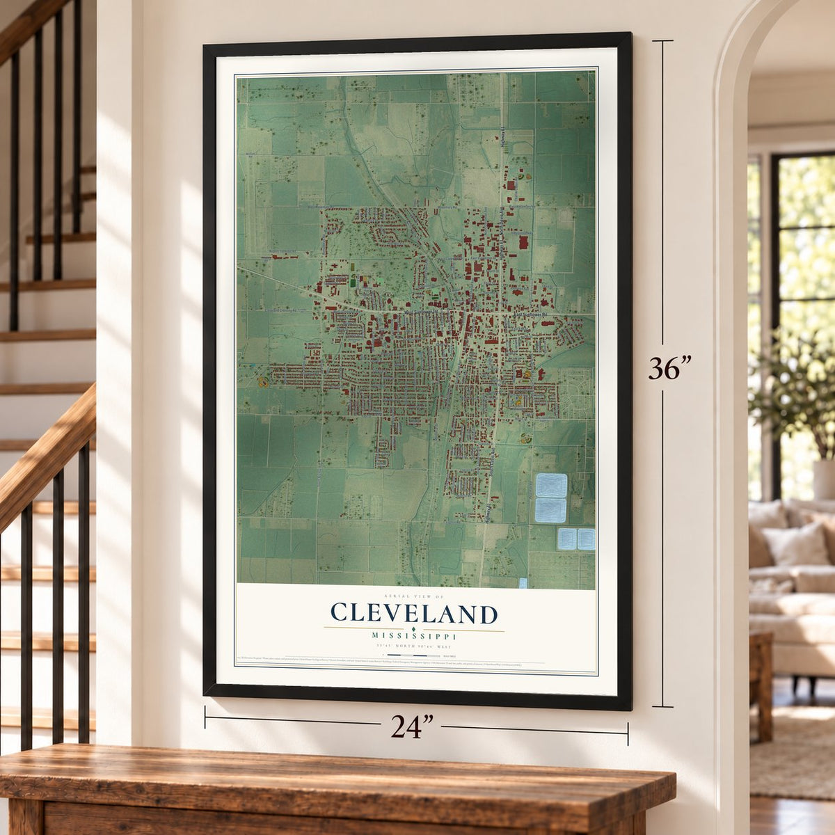
A new map of Cleveland, Mississippi, made in 2026 and printed to order on thick archival matte paper.
12" x 18" Archival Matte Print
A Map of Home. A Work of Art.
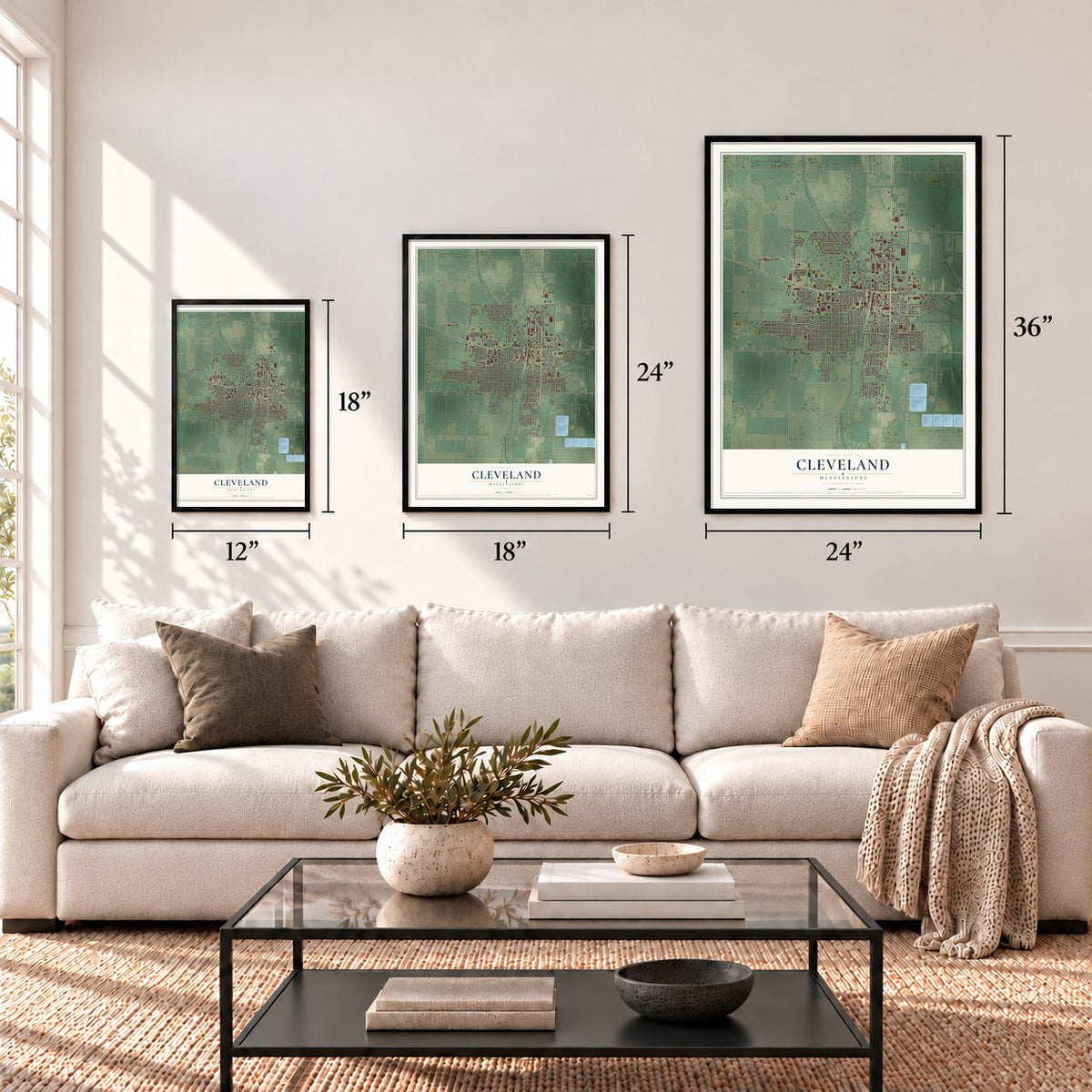
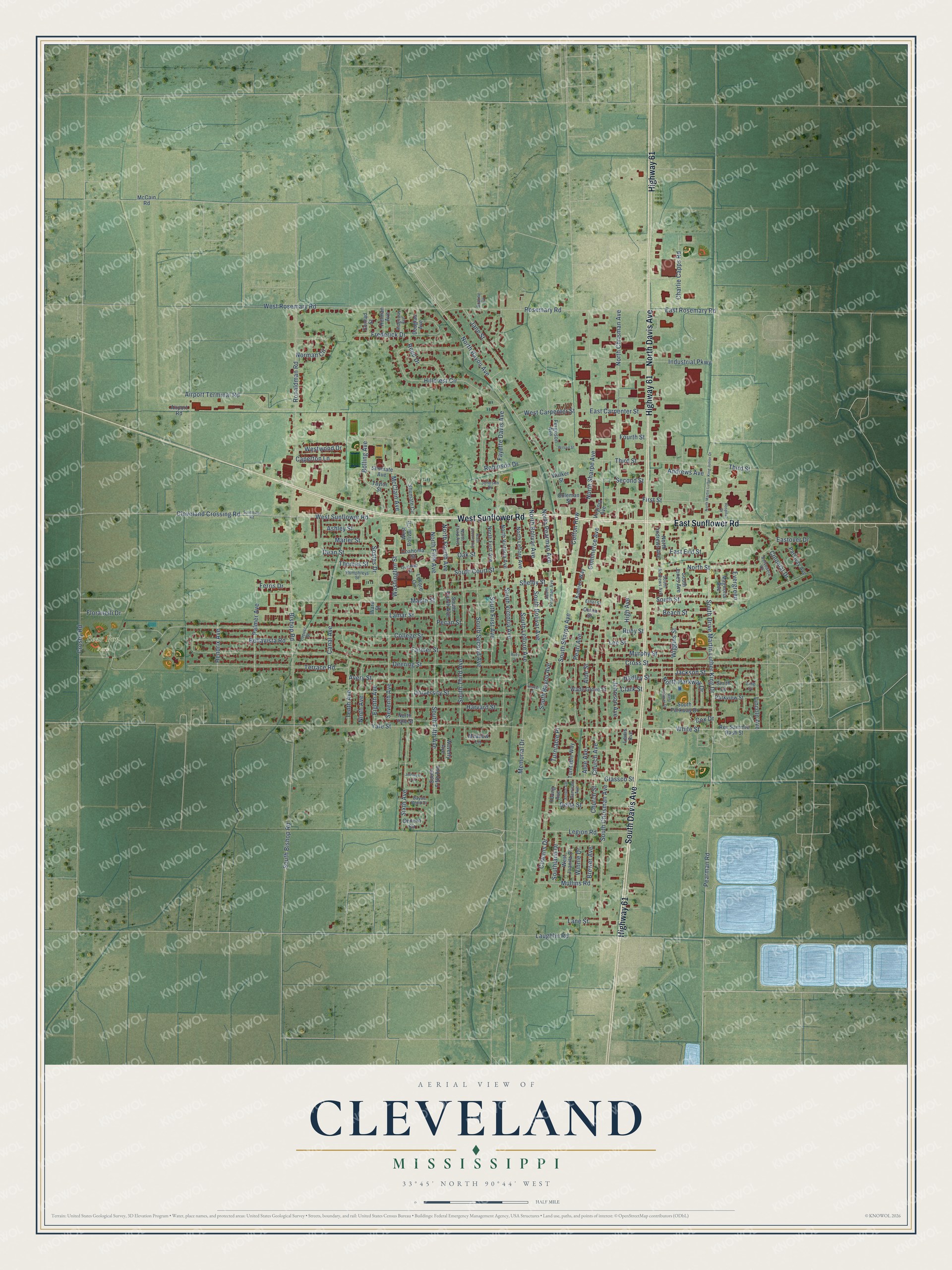
Explore Cleveland, Mississippi from a whole new perspective. Created using aerial imagery and detailed geographic data, this map captures Cleveland building by building, with labeled streets, familiar landmarks, and shaded topographical relief that highlights the natural contours of the landscape.
Combining modern data with the timeless character of a vintage atlas, this map is just as interesting up close as it is beautiful on the wall. Whether you grew up in Cleveland, spent memorable years there, or call it home today, this unique map is a great way to celebrate a place that means something to you. Zoom in on the preview to look for your street, and then order a print to put your memories on the wall.
Three ways to hang it
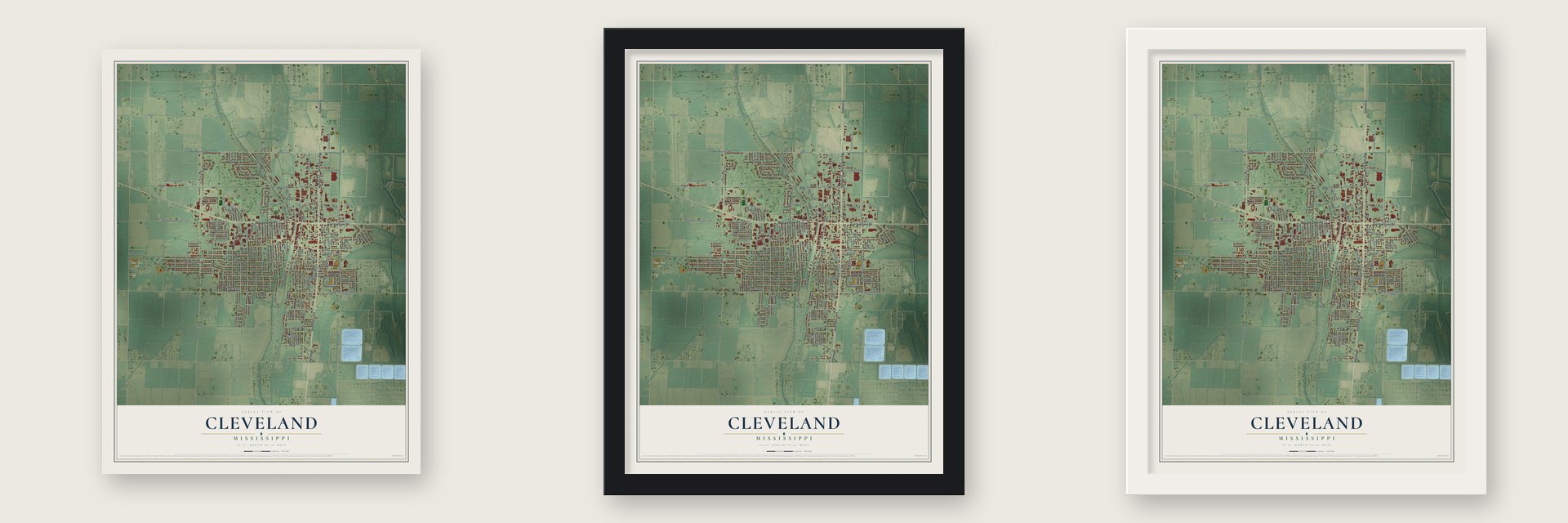
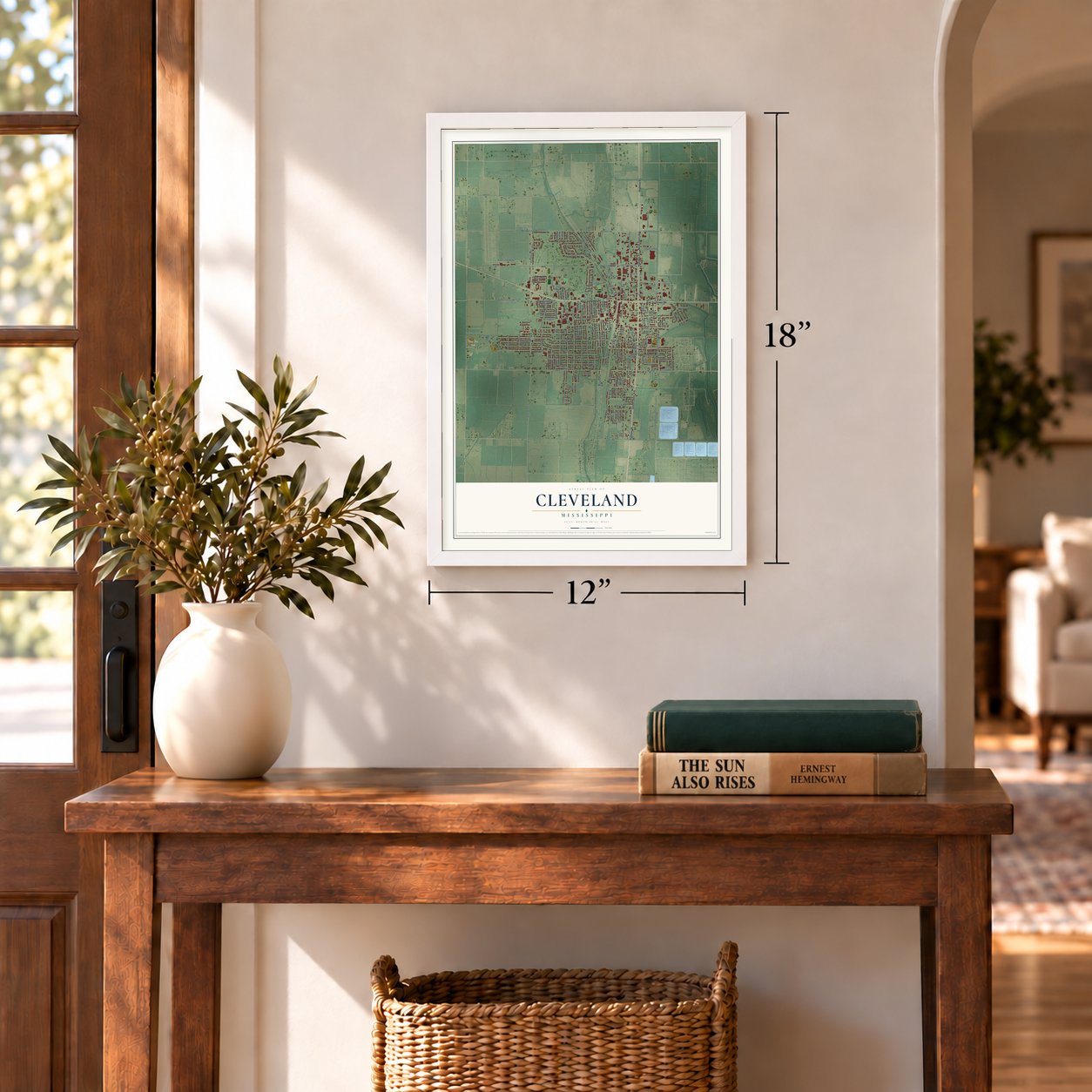
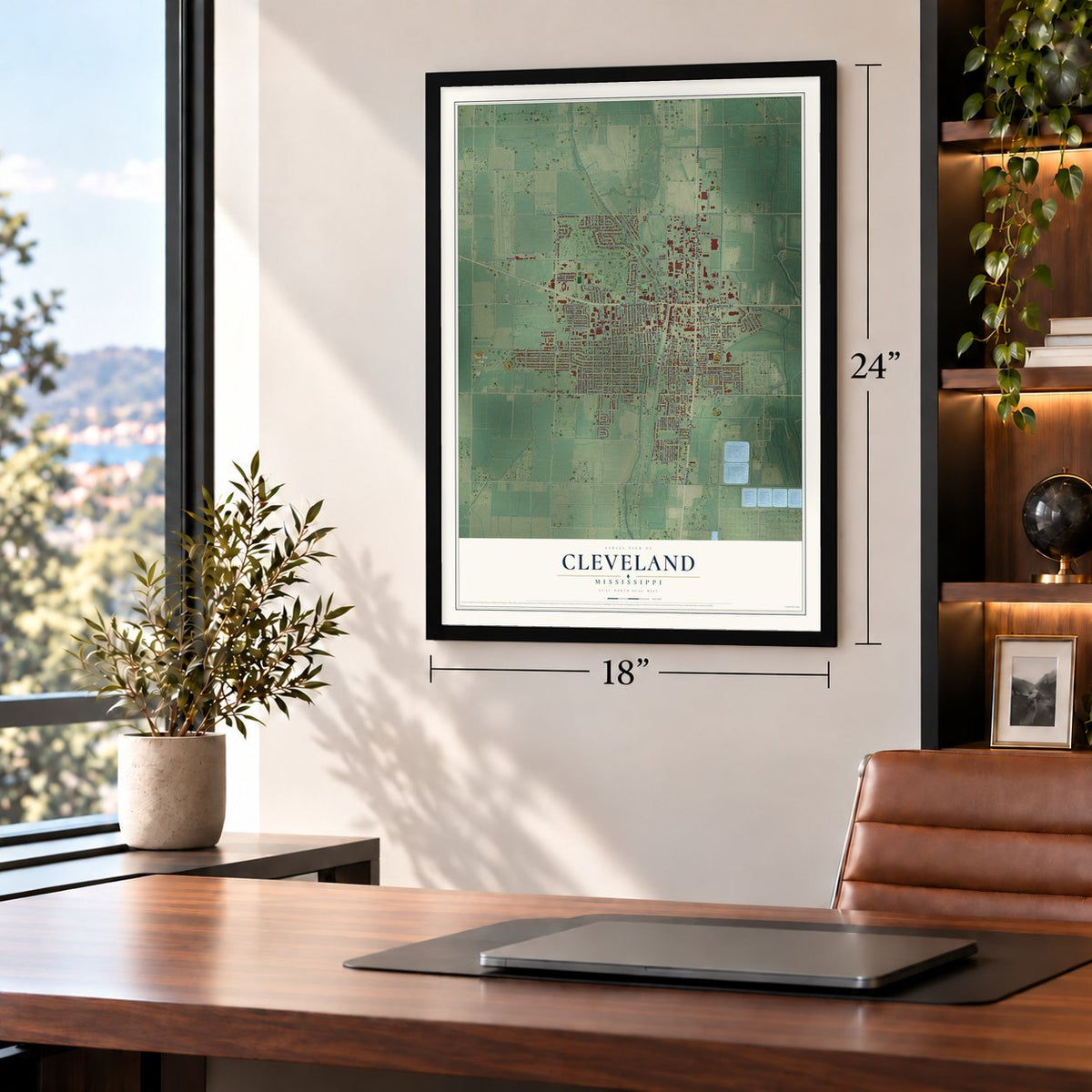
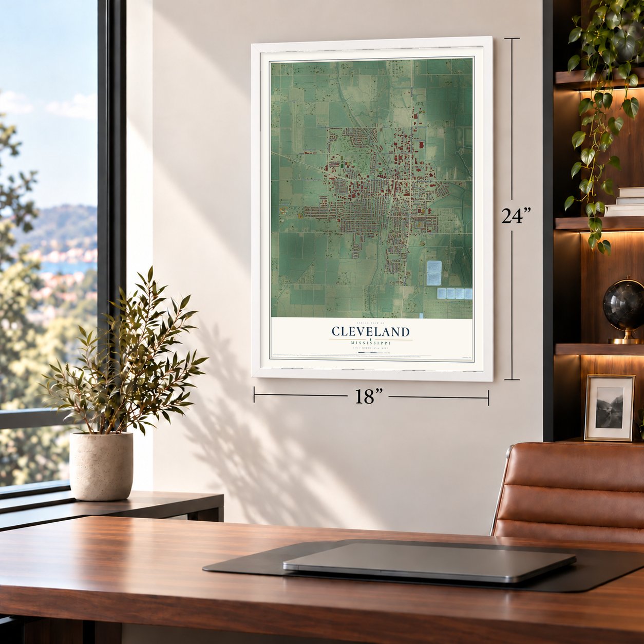
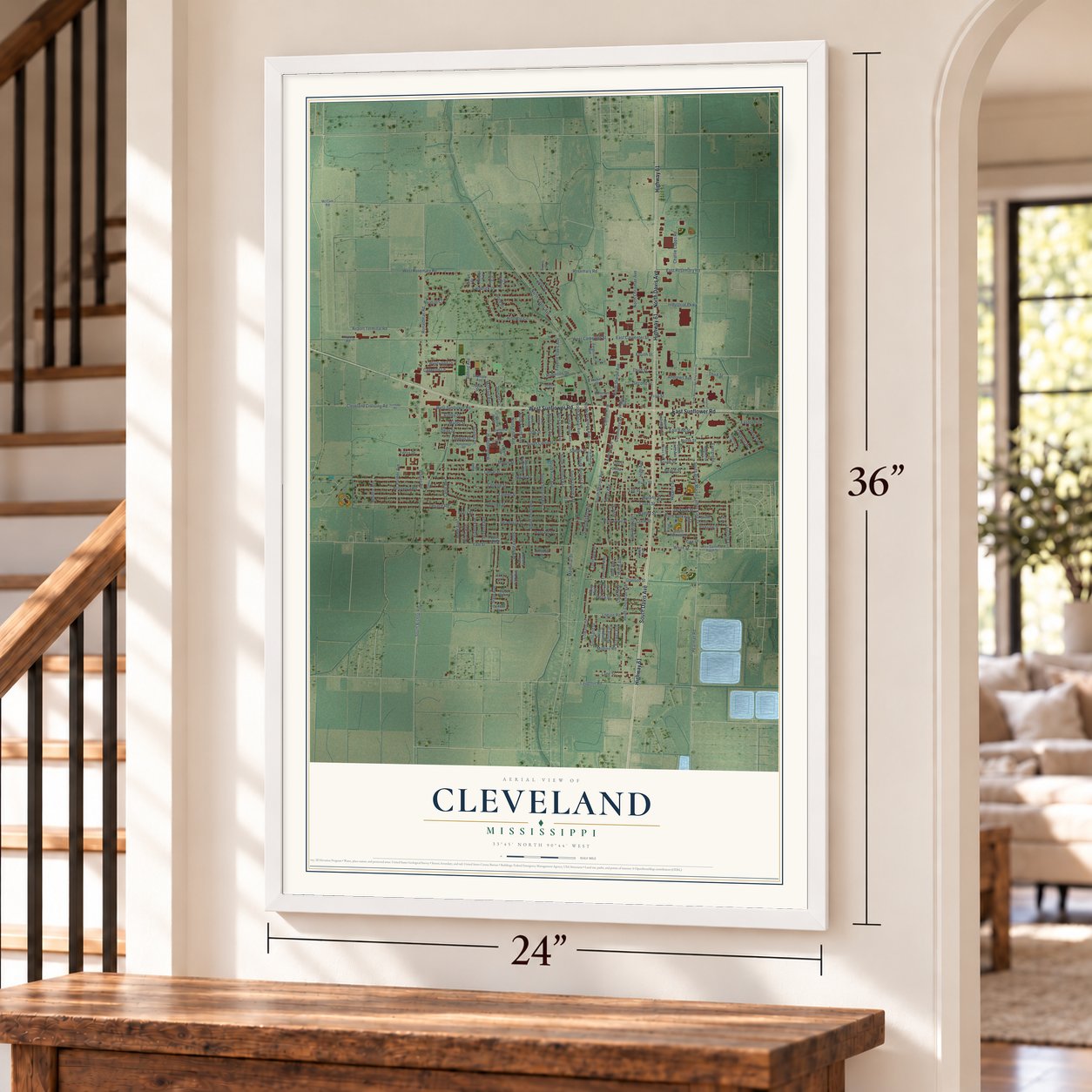
Unframed archival matte, a black wood frame or a white wood frame.
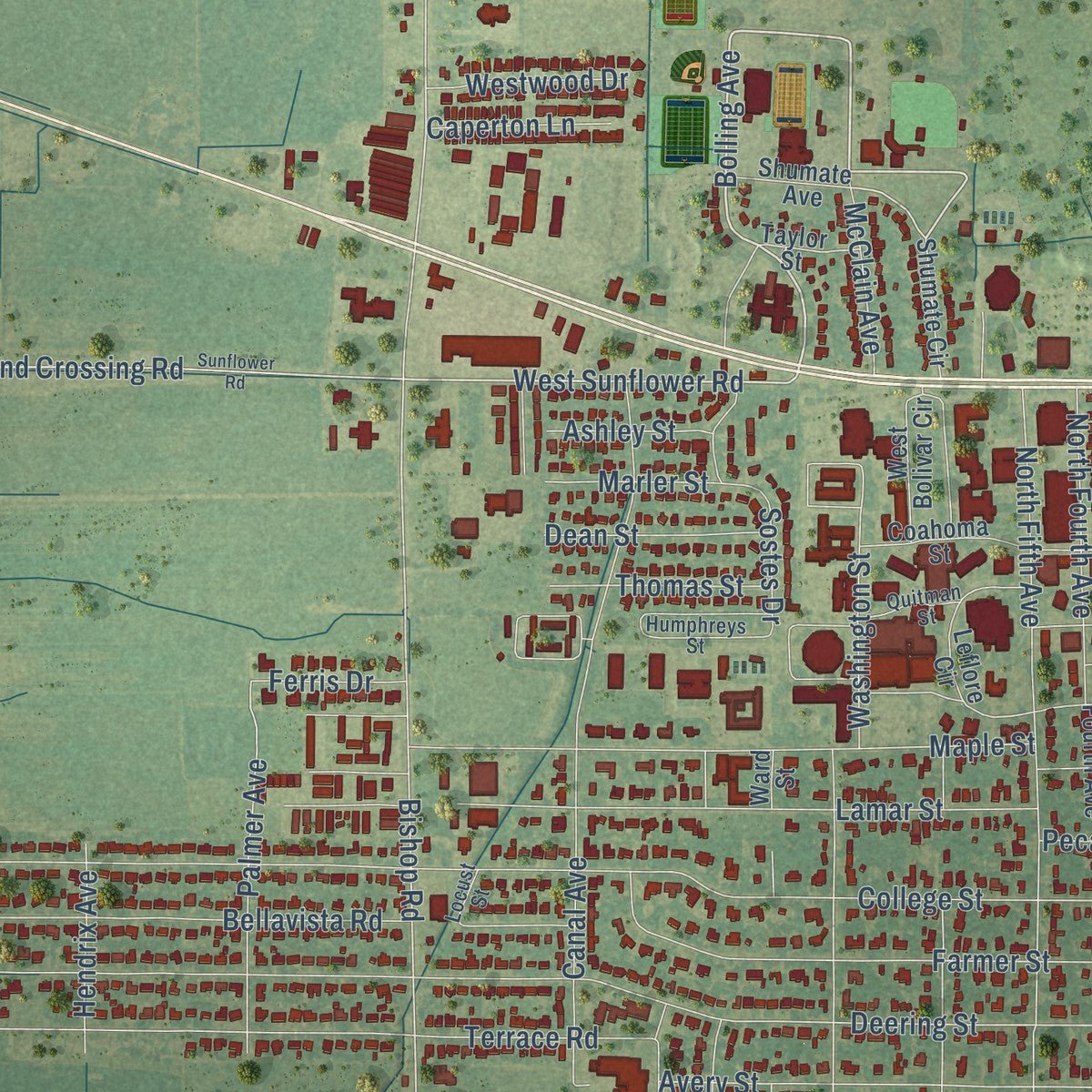
Up close
Geography Worth Displaying
This map was created using accurate cartographic data and authoritative geographic sources, including the U.S. Geological Survey and the Census Bureau. The map brings together terrain, waterways, roads, and building detail. The majority of the streets are labeled, houses are accurately depicted, and the topography is derived from government sources. Combining local data with carefully composed color and shading leads to this beautifully detailed Cleveland artwork for your wall.
Rather than simply showing street outlines, we’ve included as many of the street names as we could reasonably fit on the map while keeping their names legible. Zoom in on the high resolution preview to see exactly what’s on the map. We truly set out to create a statement piece for anyone who loves Cleveland. So whether it’s for you, or a gift for someone you love, we hope this map of Cleveland brings back fond memories.
Read the story behind this map of Cleveland, Mississippi from 2026.

About Cleveland, Mississippi
Cleveland is a city of 11,199 people in Bolivar County, in the Mississippi Delta, and it shares the county seat with Rosedale. Settlers first came in 1869, when people were leaving the banks of the Mississippi River for land farther inland, and Moses W. Coleman built the first house on the bayou. The place went by Coleman's Station and appears in records as Fontaine in 1884. In 1885 it was officially named Sims, for Rueben T. Sims, who owned part of the townsite.
His son, B.C. Sims, led the change to a new name honoring President Grover Cleveland. The village of Cleveland got its charter on March 25, 1886, and the Post Office recognized the name on August 5, 1887. Trains of the Louisville, New Orleans & Texas Railroad passed through, the town kept growing, and in 1901 Cleveland became the county's second seat, with a new courthouse.
- A college won in 1924When the legislature looked for a site for a new teachers college in the early 1920s, Cleveland had a central Delta location, the railroad and donated land. City leaders also agreed to move the Black Bear Saloon, which stood between the depot and the planned campus. Delta State Teachers College was created in 1924 and opened here the next year. It admitted only white students until 1967, became Delta State College in 1955 and was a university by 1974.
- Robert Kennedy's 1967 tourTwo senators, Joseph S. Clark Jr. and Robert F. Kennedy, opened hearings on the War on Poverty in Jackson in 1967. The next day they came to Cleveland with Marian Wright and Peter Edelman, and civil rights leader Amzie Moore guided their tour. They saw hungry, barefoot Black children in torn clothes. Kennedy told Edelman that what he saw here was worse than the poverty he had found in West Virginia. Moore's home is now a museum.
- Plants that doubled the townIn the early 1950s city leaders brought two big employers to the land just north of town: a Baxter Laboratories plant, and the Delta Steam Electric Station run by Mississippi Power & Light. Over the next decade Cleveland's population roughly doubled.
- Four Blues Trail markersCleveland has four Mississippi Blues Trail markers. One stands on Chrisman Street, once the center of Black business and social life in town. Others honor W. C. Handy and Grammy Museum Mississippi, which was the first Grammy Museum built anywhere beyond Los Angeles. The fourth honors Rev. C.L. Franklin, once the preacher at St. Peter's Rock M.B. Church, whose daughters Aretha, Erma and Carolyn sang in church before becoming soul singers.
- A 1941 caboose downtownThe Railroad Heritage Museum honors the town's start along the tracks. It holds thousands of railroad artifacts, a 1941 Illinois Central caboose and an O gauge model layout that is the largest of its kind in the Southeast.
Find your street
Names on the Cleveland map
Every name below is printed on this map. Look for your street, your school, the park where you played, or the pond down the road.
Places and landmarks1
- Bear Pen Park
Streets and roads187
- West Sunflower Road
- Highway 61
- South Davis Avenue
- North Davis Avenue
- East Sunflower Road
- Pearman Road
- South Drive Martin Luther King Drive
- Bolling Avenue
- White Street
- North Bayou Avenue
- Beach Street
- Pearl Avenue
- Memorial Drive
- Third Street
- Ronaldman Road
- South Street
- South Victoria Avenue
- First Street
- South Bolivar Avenue
- Commerce Avenue
- Bishop Road
- South Leflore Avenue
- North Bolivar Avenue
- College Street
- South Chrisman Avenue
- Deering Street
- Yale Street
- North Chrisman Avenue
- North Sharpe Avenue
- Lamar Street
Show all 187 streets
- Church Avenue
- Church Street
- Laughlin Road
- Cross Street
- Sixth Avenue
- South Bishop Road
- Hillcrest Circle
- Maple Street
- North Street
- South Fifth Avenue
- Aloe Avenue
- West Rosemary Road
- South Second Avenue
- Canal Avenue
- University Street
- Farmer Street
- Avery Street
- Terrace Road
- South Third Avenue
- South Bayou Avenue
- East Rosemary Road
- South Court Street
- Washington Street
- Rosemary Road
- Industrial Parkway
- Ruby Street
- Seventh Avenue
- Airport Terminal Road
- Robinson Drive
- Frederick Drive
- Lee Street
- Fayette Davis Avenue
- Glassco Street
- South Sharpe Avenue
- Harvard Street
- Bellavista Road
- North Pearman Avenue
- South First Avenue
- East End Street
- Cleveland Crossing Road
- Shelby Street
- Legion Road
- Wiggins Street
- Delta Street
- Charlie Capps Road
- Jane Street
- East Carpenter Street
- Andrews Avenue
- Norman Circle
- Sostes Drive
- Murphy Street
- Jackson Street
- Cotton Row
- Reed Drive
- Palmer Avenue
- Tenth Avenue
- Johnson Avenue
- Lincoln Avenue
- North Parkway Drive
- Mullins Road
- Ninth Avenue
- West Carpenter Street
- Eastover Drive
- Second Street
- Hadley Street
- Turntable Place
- North Fifth Avenue
- Crosby Road
- North Fourth Avenue
- Dean Street
- Southland Drive
- Thomas Street
- Cowans Drive
- Eighth Avenue
- McClain Avenue
- High Avenue
- Westwood Drive
- Aloe Street
- Floranelli Drive
- Lane Street
- Hendrix Avenue
- Caperton Lane
- Oak Street
- Marler Street
- Ferris Drive
- Winnie Drive
- Colonial Drive
- Brewer Avenue
- Ashley Street
- Clark Street
- Evergreen
- Fourth Street
- Pecan Street
- Cox Drive
- Shumate Circle
- Young Avenue
- Ferguson Avenue
- Meadow Lane
- Rev Sammie Rash Street
- Kamien Way
- North Leflore Avenue
- North Yale Street
- Leflore Circle
- North First Avenue
- North Victoria Avenue
- Parkview Street
- South Fourth Avenue
- West Juanita Circle
- Geneva Circle
- North Andrews Avenue
- South Parkway Drive
- Coahoma Street
- Wade Grove Street
- Parkway Avenue
- Turntable Way
- West Bolivar Circle
- Waverly Avenue
- Magnolia Avenue
- South Jones Avenue
- Shumate Avenue
- Conrad Street
- Holman Avenue
- Douglas Avenue
- Airport Road
- Coleman Street
- Taylor Street
- Virginia Avenue
- McCain Road
- Walker Street
- Smith Cv
- China Street
- Lewis Avenue
- Ward Street
- South Pearman Avenue
- Humphreys Street
- North Third Avenue
- Belvedere Court
- South Andrews Avenue
- Bayou Bend Drive
- Ridgeway Avenue
- Garrison Avenue
- Quitman Street
- Johnson Drive
- Ethel Street
- Braline Cv
- Locust Street
- King Cv
- North Martin Luther King Junior Drive
- Sunflower Road
- North Second Avenue
- Jefferson Circle
- West Parkway Drive
- Roby Street
- Arnold Avenue
- Wilson Street
- Hospital Drive
- Grover Street
Names are listed as they appear on the printed map. Zoom into the product photos to find them.
The art of mapping a place
How This Map Was Made
Real places. Remarkable detail. Discover the layers that turn geographic data into a map of home.

The view from above
Aerial imagery reveals the character of the land: woodland, open fields, and the patterns of a place.

The shape of the land
Elevation data brings hills, valleys, and subtle changes in the landscape into view.

The details of home
Roads, waterways, and building footprints come together to make the map feel unmistakably local.

Geography becomes art
Considered color, shading, and typography bring the layers together in a map made for your wall.


Process illustrated with Mendon, Massachusetts. Aerial imagery: USDA NAIP. Terrain: USGS 3D Elevation Program. Map details and finished artwork: KNOWOL.
The Details
About This Print
Choose an archival matte print, or a black or white Ayous wood frame. The archival matte print is unframed.
Select your size and finish above to see the matching product image and price.
Materials & Craftsmanship
A contemporary map with the character of a classic atlas, printed on archival matte paper. Optional frames are made from Ayous wood.
Your printed map does not include the watermark shown in the full-map preview.
Shipping & Delivery
Free shipping within the United States. Every print is made to order in the USA.
Buying a gift? Add a note in your cart and we'll include it. We never put prices in the package.
Prints ship within 2 to 3 business days. Allow 7 to 10 days total from ordering for delivery. Timing may vary during holidays or periods of high order volume.
Read our shipping policy.
Returns and damaged prints
Each print is made to order. Change-of-mind refunds are not available after production.
If your print arrives damaged, misprinted or incorrect, contact support@knowol.com within 30 days of receiving it. Include your order number, photos and a description of the issue.
Read our full refund and replacement policy. For questions about your order, email support@knowol.com.
Find your town
Looking for another city?
Find a map of home in our Mississippi collection, or any town in the country.
Nearby
Maps of towns near Cleveland
Know someone from one of these towns? Their map makes a great gift.
 Renova
, Mississippi
From $39.99See the map
 Boyle
Boyle, Mississippi
From $39.99See the map
 Skene
Skene, Mississippi
From $39.99See the map
More maps nearby: Merigold, Pace, Mound Bayou, Shaw and Ruleville.