
Search for another town



Free U.S. delivery 7 to 10 days after you order
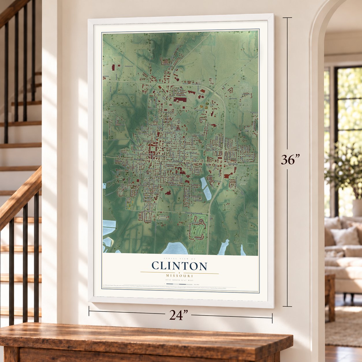
Clinton, Missouri Map Art
Building by building, with labeled streets and shaded relief.
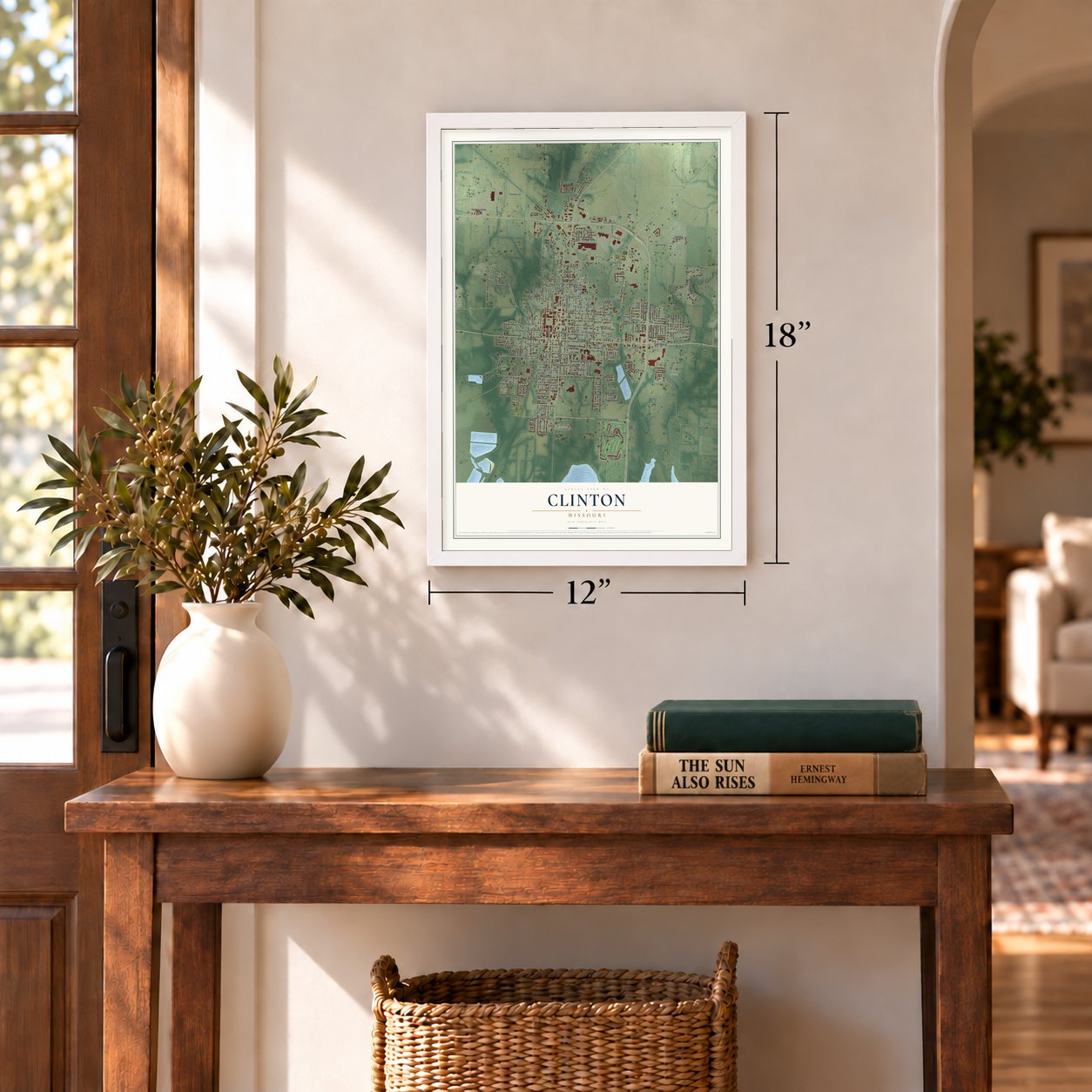
12" x 18" Archival Matte Print
A Map of Home. A Work of Art.
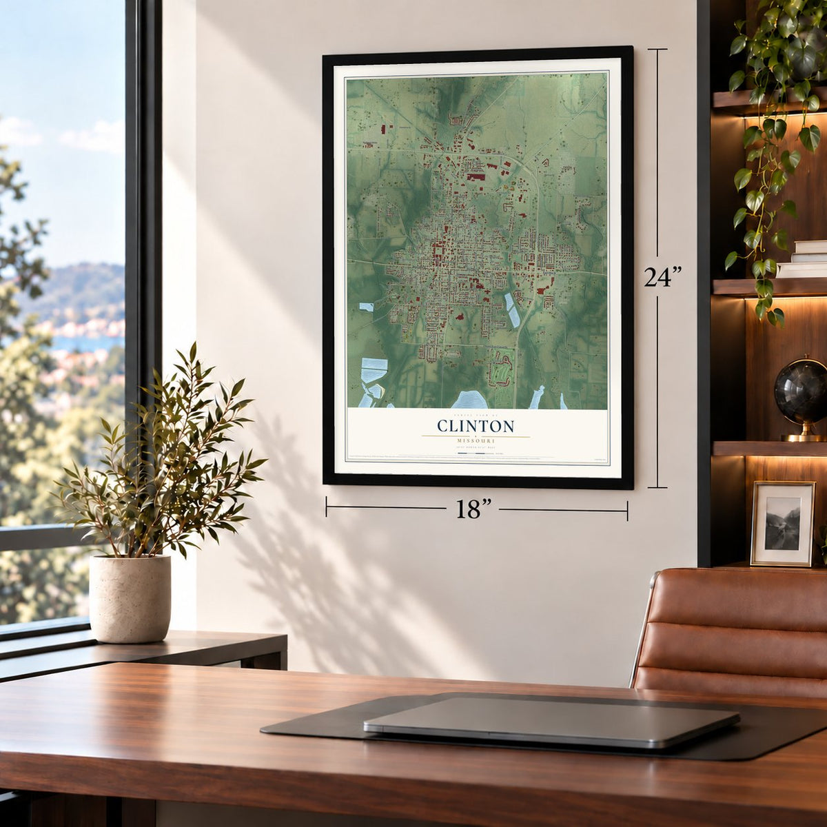
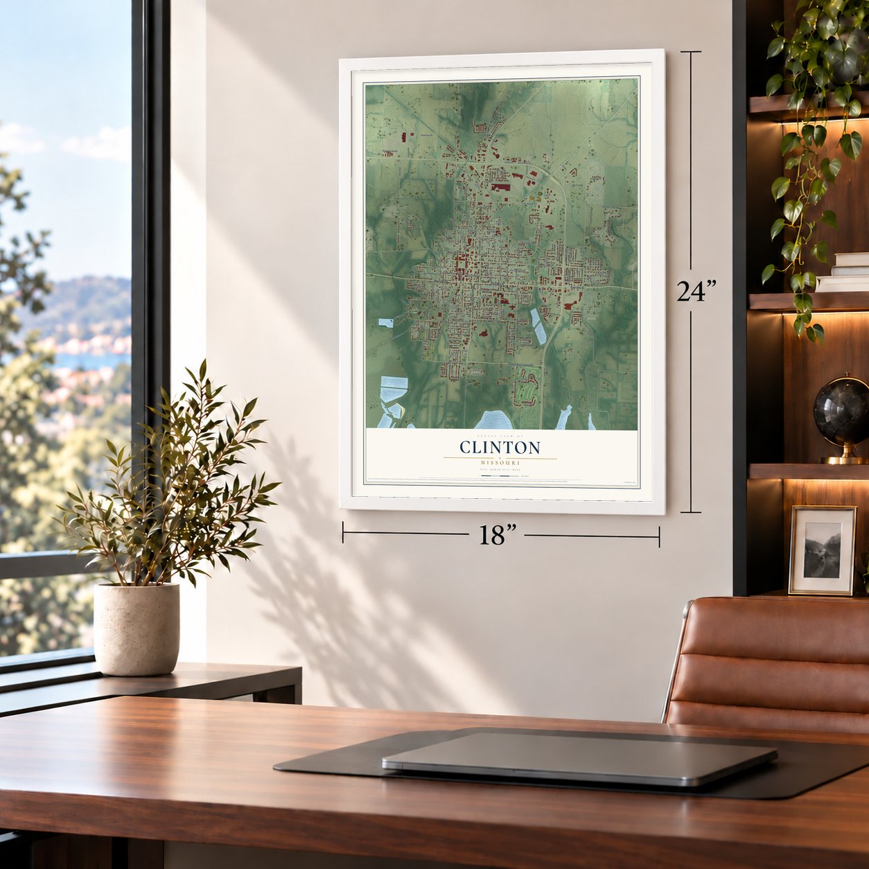
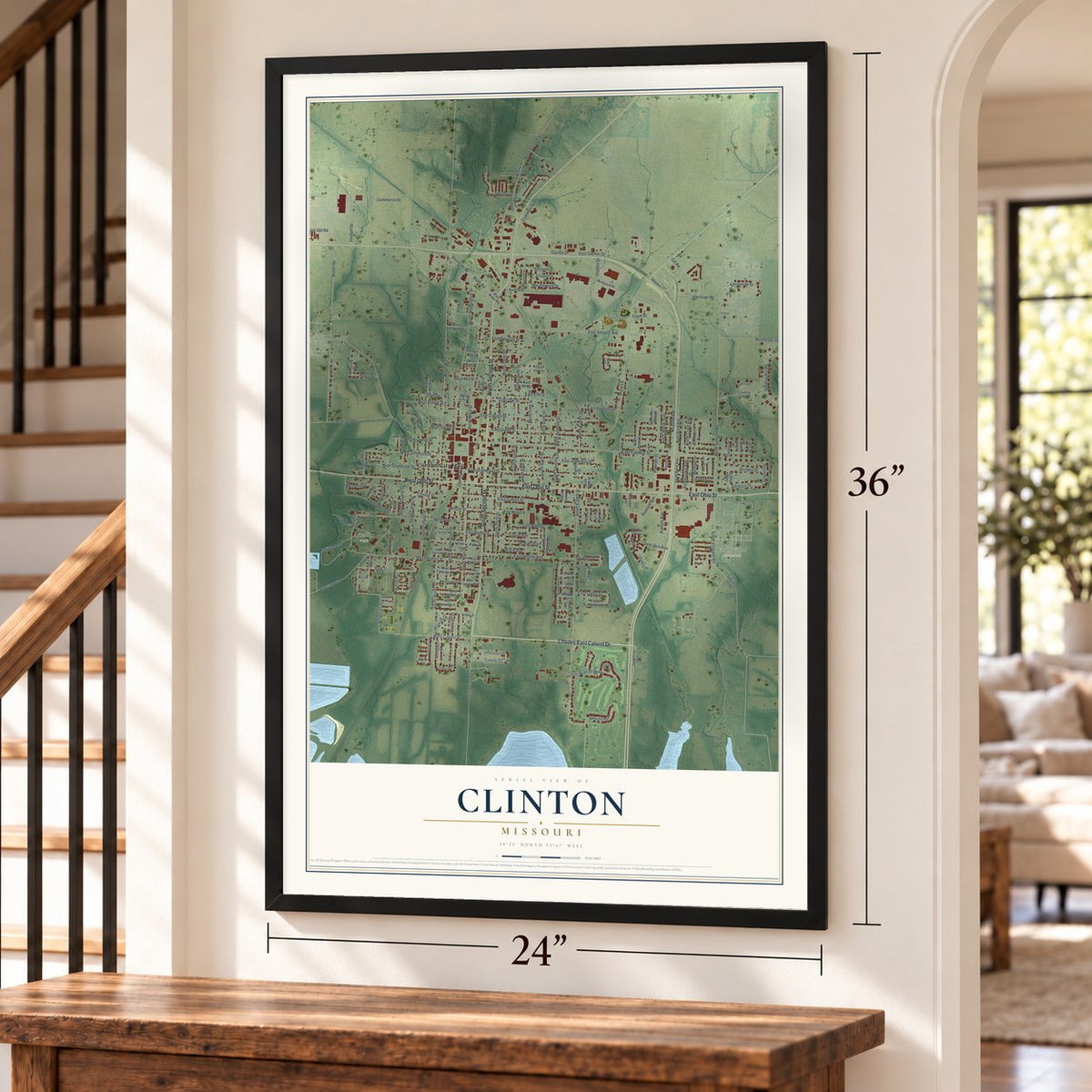
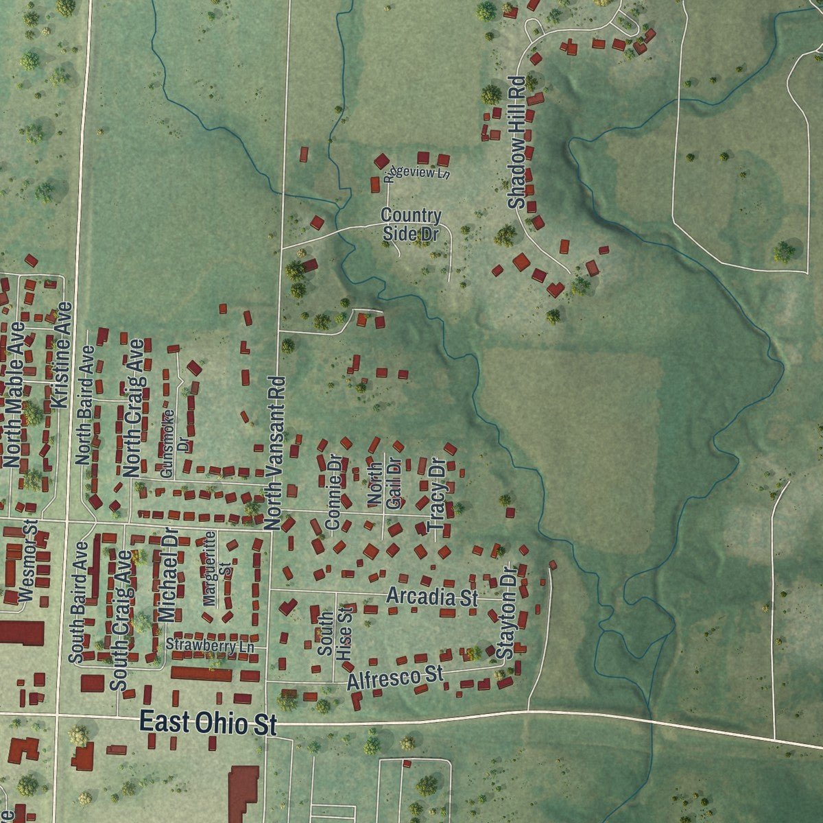
Explore Clinton, Missouri from a whole new perspective. Created using aerial imagery and detailed geographic data, this map captures Clinton building by building, with labeled streets, familiar landmarks, and shaded topographical relief that highlights the natural contours of the landscape.
Combining modern data with the timeless character of a vintage atlas, this map is just as interesting up close as it is beautiful on the wall. Whether you grew up in Clinton, spent memorable years there, or call it home today, this unique map is a great way to celebrate a place that means something to you. Zoom in on the preview to look for your street, and then order a print to put your memories on the wall.

Three ways to hang it
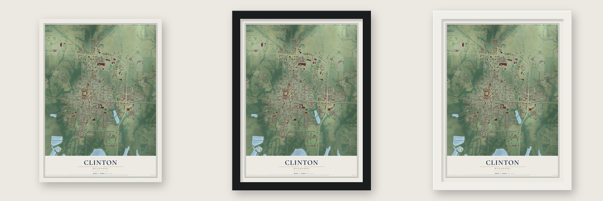
Unframed archival matte, a black wood frame or a white wood frame.
Up close
Geography Worth Displaying
This map was created using accurate cartographic data and authoritative geographic sources, including the U.S. Geological Survey and the Census Bureau. The map brings together terrain, waterways, roads, and building detail. The majority of the streets are labeled, houses are accurately depicted, and the topography is derived from government sources. Combining local data with carefully composed color and shading leads to this beautifully detailed Clinton artwork for your wall.
Rather than simply showing street outlines, we’ve included as many of the street names as we could reasonably fit on the map while keeping their names legible. Zoom in on the high resolution preview to see exactly what’s on the map. We truly set out to create a statement piece for anyone who loves Clinton. So whether it’s for you, or a gift for someone you love, we hope this map of Clinton brings back fond memories.
Read the story behind this map of Clinton, Missouri from 2026.
Find your street
Names on the Clinton map
Every name below is printed on this map. Look for your street, your school, the park where you played, or the pond down the road.
Places and landmarks4
- Clinton City Hall
- Artesian Park
- Englewood Cemetery
- Wagoner Park
Streets and roads196
- East Ohio Street
- South Second Street
- North Second Street
- Charles East Calvird Drive
- West Ohio Street
- East Franklin Street
- North Main Street
- Rives Road
- South Main Street
- North Water Street
- South Vansant Road
- North Vansant Road
- West Calvird Drive
- North Seventh Street
- Hillcrest Drive
- West Jefferson Street
- East Oak Street
- West Allen Street
- West Grandriver Street
- North Sixth Street
- Wilson Street
- South Eighth Street
- Gaines Drive
- East Green Street
- South Water Street
- Booth Road
- North Washington Street
- Price Lane
- North Third Street
- East Sedalia Avenue
Show all 196 streets
- Urich Road
- East Clinton Street
- East Jefferson Street
- East Lincoln Street
- East Grandriver Street
- South Washington Street
- South Orchard Street
- North Fourth Street
- South Third Street
- Golden Drive
- Artesian Avenue
- South Carter Street
- West Rogers Street
- East Bodine Avenue
- Hormeyer Street
- Center Street
- Lakeview Drive
- South Sixth Street
- East Gaines Drive
- Shadow Hill Road
- South McLane Street
- South Fifth Street
- East Elm Street
- Northeast 100th Road
- North Fifth Street
- West Franklin Street
- Hudson Street
- Kansas Avenue
- Montgomery Street
- Kithcart Road
- Seventh Street
- Clinton Street
- West Gravel Street
- Deer Run Avenue
- East Watson Parkway
- Swisher Drive
- Gerhart Drive
- Tulip Drive
- East Allen Street
- Commerce Drive
- North Antioch Street
- Arcadia Street
- Kristine Avenue
- South Fourth Street
- Alfresco Street
- Community Drive
- Northwest 160 Road
- North Mable Avenue
- Dzf Road
- Wetzel Circle
- Pawnee Avenue
- Epicurean Drive
- West Green Street
- South Seventh Street
- Flora Avenue
- Trevino Road
- North Eighth Street
- Harris Street
- Pawnee Drive
- East Augusta Street
- South Craig Avenue
- Louise Avenue
- East Douglas Street
- Hunts Road
- Bradshaw Drive
- North Craig Avenue
- Meadowlark Drive
- Monrovia Drive
- Short Street
- Tower Street
- Truman Avenue
- Harrison Road
- East Henry Street
- Park Street
- East Cedar Street
- Michael Drive
- West Mill Street
- Illinois Place
- Colony Street
- Montrey Street
- Chapin Drive
- Briarcliff Drive
- Connor Lane
- Fox Run Drive
- Stayton Drive
- Tracy Drive
- Clark Street
- West Rives Road
- East Rives Road
- South Baird Avenue
- East Walnut Street
- East Wilson Street
- East Pine Street
- Marigold State Route
- Country Club Drive
- North Baird Avenue
- North Carter Street
- Coal Creek Road
- North Hummingbird Drive
- South Sixth Street Terrace
- Missouri Avenue
- Jamestown Drive
- Westview Street
- East Mill Street
- Country Side Drive
- West Leona Street
- West Magnolia Street
- West Fairview Street
- South Ninth Street
- Iowa Circle
- North Wood Street
- Washington Street
- West Sedalia Avenue
- Pennsylvania Avenue
- West Sundale Drive
- East Willow Street
- Leawood Drive
- Hogan Place
- Verna Street
- David Drive
- North James Drive
- Nusbaum Place
- Southeast 91 Road
- Wesmor Street
- South Hise Street
- East Leona Street
- East Tebo Street
- South Peyton Street
- Connie Drive
- Cedar Street
- Willow Street
- West Pine Street
- College Street
- West Oak Street
- Eighth Street
- Sharp Street
- North Gail Drive
- Dakota Place
- Kt Circle
- Timberview Road
- Amanda Lane
- Northwest 51st Road
- North Antioch Drive
- West Benton Street
- West Tebo Street
- Strawberry Lane
- East Rogers Street
- South Tenth Saint Terrace
- Margueritte Street
- Cardinal Street
- Gunsmoke Drive
- Friendship Drive
- Munson Street
- Pecan Drive
- Ernest Drive
- Julia Drive
- East Glendale Drive
- West Henry Street
- Ridgeview Lane
- Crawford Drive
- Pecan Grove Place
- East Fairview Street
- Cherry Street
- South Ninth Saint Terrace
- Chelsea Drive
- Linda Drive
Names are listed as they appear on the printed map. Zoom into the product photos to find them.
About Clinton, Missouri
Clinton is the county seat of Henry County and a city of 9,174 people. Peyton Parks platted the town, which was laid out in 1836, and he served as its first commissioner. The town took the name of DeWitt Clinton, the New York governor who did so much to promote the Erie Canal, and a post office called Clinton opened in 1850.
The railroad reached Clinton in 1870, the year the census counted 840 people in town. In 1878 voters agreed to incorporate Clinton as a fourth-class city, and only one of them voted no. Through the 1880s the town added piped water, electric power and macadam roads, and a telephone system followed in the 1890s.
- Wet town, dry countyIn 1905 Henry County held a vote on banning alcohol, and Clinton's ballots were counted apart from those of the countryside around it. The town said no to prohibition, but the rest of the county said yes, so one county ended up living under two sets of laws. Clinton held another local option vote in 1909, and the town again turned prohibition down.
- Hard times on the squareThe town square, the center of the Clinton Square Historic District, lost a number of buildings to a fire in 1876 that was likely set on purpose. On June 26, 2006, a building on the square fell in during an Elks Lodge meeting and killed the lodge's leader, Tony Komer. Rescuers pulled nine people from the rubble. Less than a week later, Elks from across western Missouri marched in his memory at the Olde Glory Days parade.
- The end of the Katy TrailClinton sits at the western end of the Katy Trail, a 225-mile state park for cyclists, runners and horseback riders. The trail runs along the bed of the Missouri-Kansas-Texas line, whose tracks between Clinton and Sedalia were given up in 1989. The old line south to Nevada still runs trains for the Missouri and Northern Arkansas Railroad.
- Farm radio from 1951Clinton's oldest radio station, KDKD-AM, went on the air on May 11, 1951, and focused on farm programming until it shut down on December 31, 2021. In 2018 Clayton and Brittany Radford bought the town's three stations from Alpha Media for $250,000 and brought them back under local ownership.
Keep exploring Missouri
Clinton is one of 1,207 Missouri towns we've mapped. Every dot on the map is a print of its own.
The search covers every state, Missouri first.
Near Clinton
Order 2 or more town maps and save 10%. Shown in the size and finish you picked above, so they hang as a set.
- La Due 12" x 18" / Archival Matte Print $39.99
- Deepwater 12" x 18" / Archival Matte Print $39.99
- Brownington 12" x 18" / Archival Matte Print $39.99
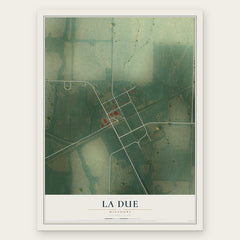
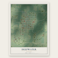
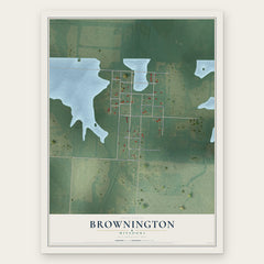
More maps nearby: Hartwell, Calhoun, Leesville, Tightwad and Urich.
The art of mapping a place
How This Map Was Made
Real places. Remarkable detail. Discover the layers that turn geographic data into a map of home.

The view from above
Aerial imagery reveals the character of the land: woodland, open fields, and the patterns of a place.

The shape of the land
Elevation data brings hills, valleys, and subtle changes in the landscape into view.

The details of home
Roads, waterways, and building footprints come together to make the map feel unmistakably local.

Geography becomes art
Considered color, shading, and typography bring the layers together in a map made for your wall.


Process illustrated with Mendon, Massachusetts. Aerial imagery: USDA NAIP. Terrain: USGS 3D Elevation Program. Map details and finished artwork: KNOWOL.
The Details
About This Print
Choose an archival matte print, or a black or white Ayous wood frame. The archival matte print is unframed.
Select your size and finish above to see the matching product image and price.
Materials & Craftsmanship
A contemporary map with the character of a classic atlas, printed on archival matte paper. Optional frames are made from Ayous wood.
Your printed map does not include the watermark shown in the full-map preview.
Shipping & Delivery
Free shipping within the United States. Every print is made to order in the USA.
Buying a gift? Add a note in your cart and we'll include it. We never put prices in the package.
Prints ship within 2 to 3 business days. Allow 7 to 10 days total from ordering for delivery. Timing may vary during holidays or periods of high order volume.
Read our shipping policy.
Returns and damaged prints
Each print is made to order. Change-of-mind refunds are not available after production.
If your print arrives damaged, misprinted or incorrect, contact support@knowol.com within 30 days of receiving it. Include your order number, photos and a description of the issue.
Read our full refund and replacement policy. For questions about your order, email support@knowol.com.