
Search for another town





Free U.S. delivery 7 to 10 days after you order
Clinton, North Carolina Map Art
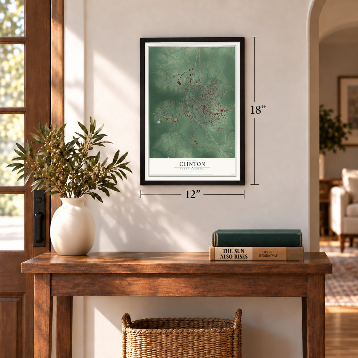
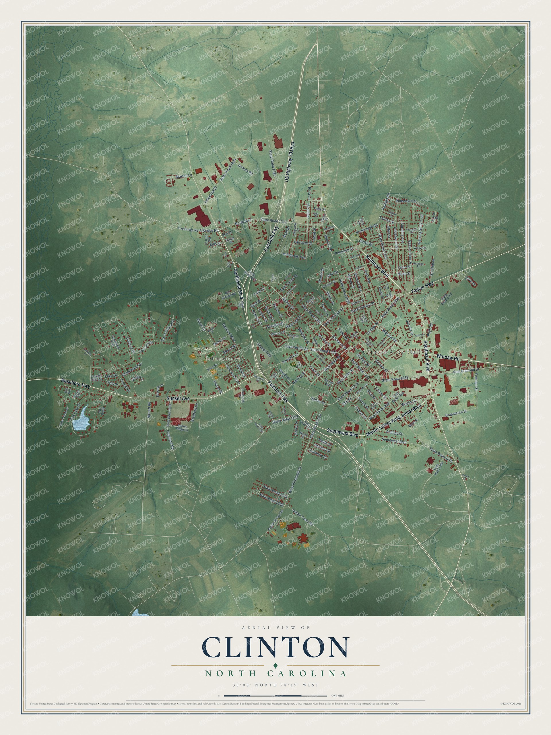
A new map of Clinton, North Carolina, made in 2026 and printed to order on thick archival matte paper.
12" x 18" Archival Matte Print
A Map of Home. A Work of Art.
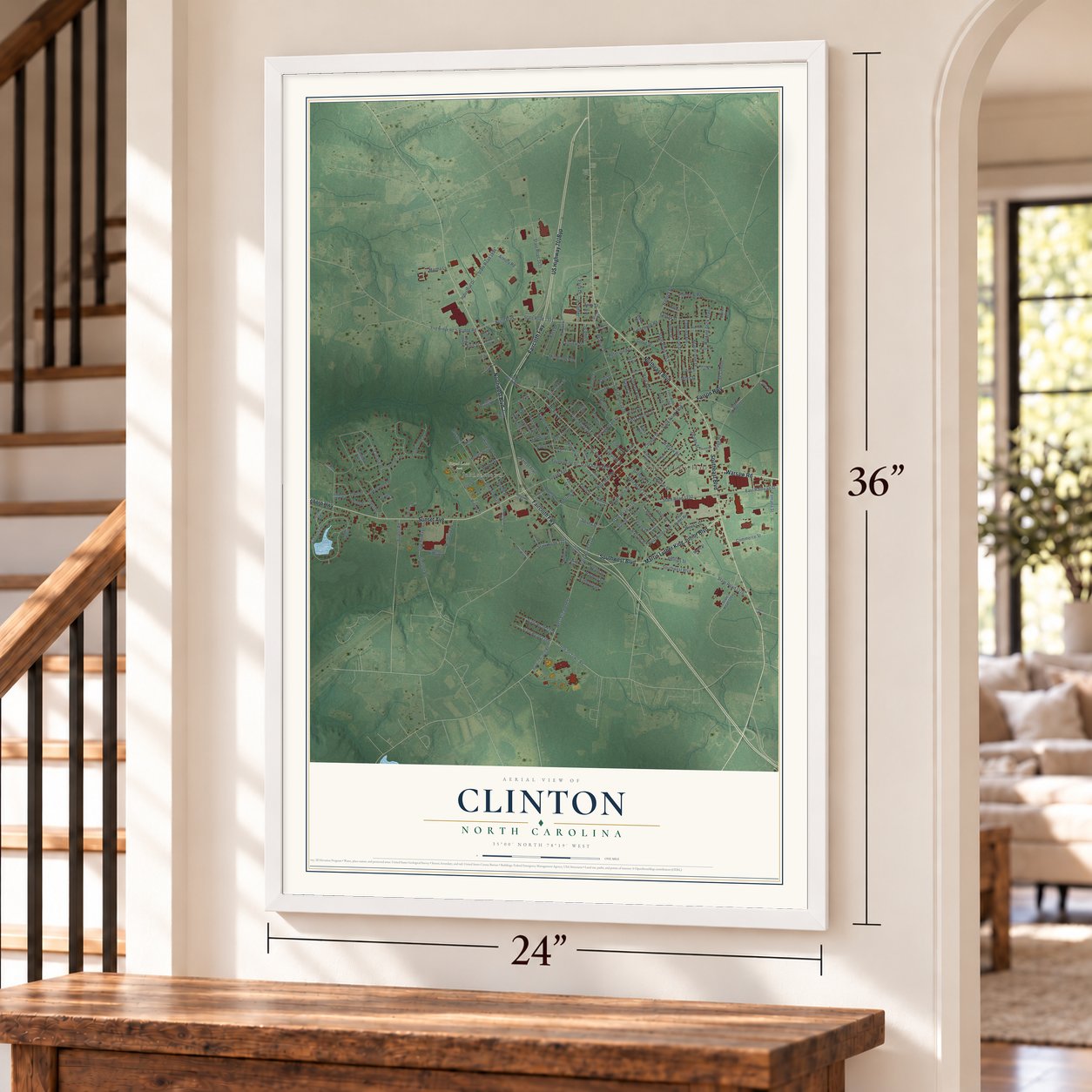
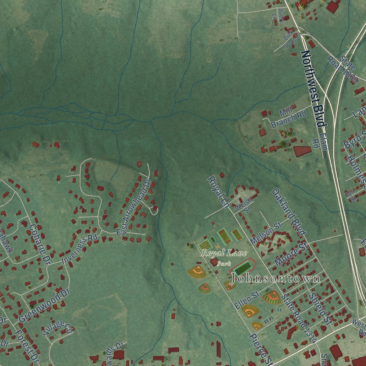
Explore Clinton, North Carolina from a whole new perspective. Created using aerial imagery and detailed geographic data, this map captures Clinton building by building, with labeled streets, familiar landmarks, and shaded topographical relief that highlights the natural contours of the landscape.
Combining modern data with the timeless character of a vintage atlas, this map is just as interesting up close as it is beautiful on the wall. Whether you grew up in Clinton, spent memorable years there, or call it home today, this unique map is a great way to celebrate a place that means something to you. Zoom in on the preview to look for your street, and then order a print to put your memories on the wall.
Three ways to hang it
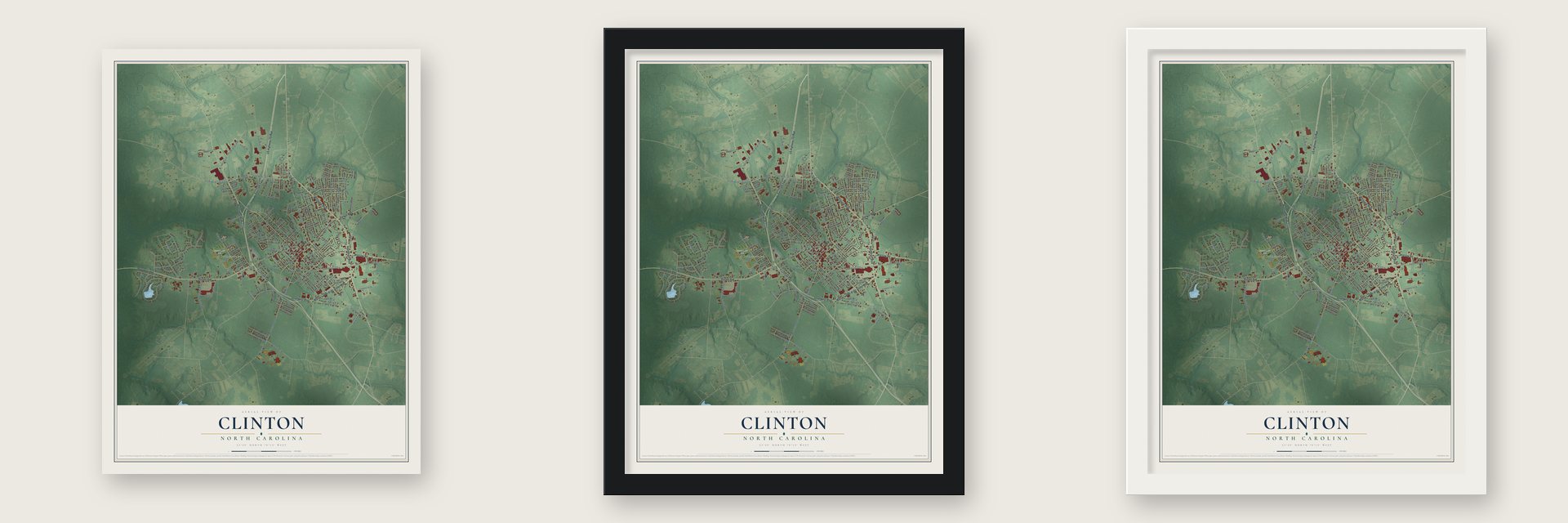
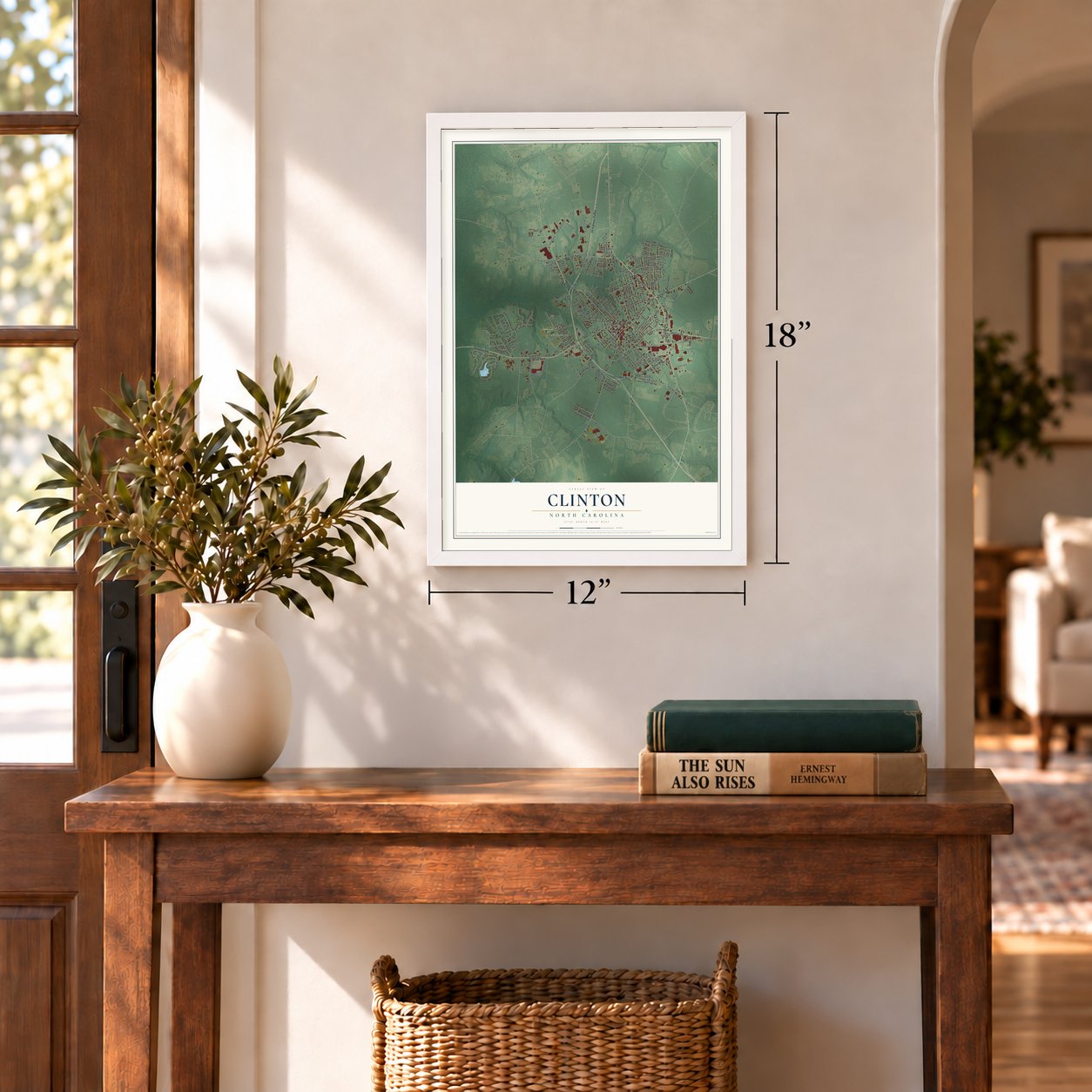
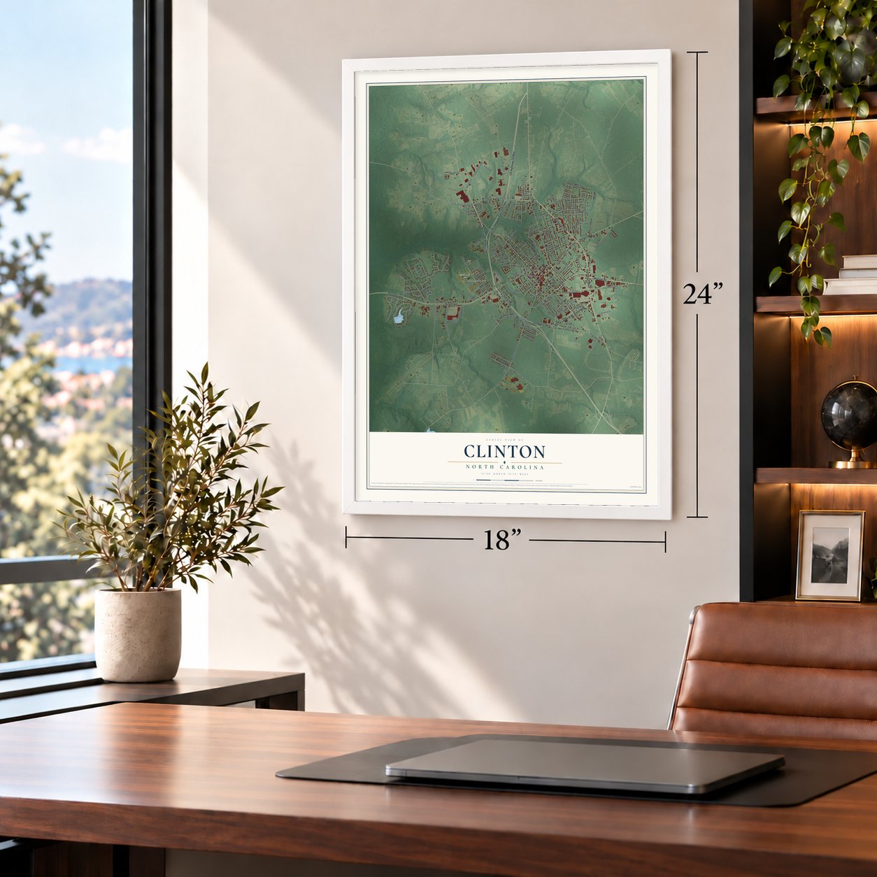
Unframed archival matte, a black wood frame or a white wood frame.
Up close
Geography Worth Displaying
This map was created using accurate cartographic data and authoritative geographic sources, including the U.S. Geological Survey and the Census Bureau. The map brings together terrain, waterways, roads, and building detail. The majority of the streets are labeled, houses are accurately depicted, and the topography is derived from government sources. Combining local data with carefully composed color and shading leads to this beautifully detailed Clinton artwork for your wall.
Rather than simply showing street outlines, we’ve included as many of the street names as we could reasonably fit on the map while keeping their names legible. Zoom in on the high resolution preview to see exactly what’s on the map. We truly set out to create a statement piece for anyone who loves Clinton. So whether it’s for you, or a gift for someone you love, we hope this map of Clinton brings back fond memories.
Read the story behind this map of Clinton, North Carolina from 2026.
About Clinton, North Carolina
Clinton is a city of 8,383 people and the county seat of Sampson County. The first settlers reached the area around 1740, and the community was first known as Clinton Courthouse. Another incorporated town named Clinton had existed elsewhere in North Carolina, but it folded in 1822, and this Clinton was incorporated as a town that same year.
In 1852 the General Assembly passed an act to better regulate the town. It put the town in the hands of five commissioners: Alfred Johnson, John Beaman, Dr. Henry Bizzel, Isaac Boykin and James Moseley. The town limits then reached a half mile in every direction from the courthouse. Clinton held its first recorded election in February 1852 and set its first tax at $0.50 for every $100 of real property value. It became a city in July 1953.
“Clinton , the county seat, was incorporated in 1822 and was named after Richard Clinton , the foster son of John Sampson, the original owner of the land on which the town was built.”
- A vice president's hometownWilliam R. King was born in Clinton in 1786 and started his legal career here before moving on to Alabama. He was elected the 13th Vice President, serving under Franklin Pierce, and took the oath in Havana, Cuba, in March 1853. No other American executive official has been sworn in on foreign soil, and King died soon after his separate swearing-in.
- Market town for the farmsClinton sits at the geographic center of Sampson County, and most of the county is rural farmland. Its central spot made it the place where farmers brought their crops to sell, so Clinton grew into the county's major agricultural marketing center.
- Van Lingle Mungo's last stopFrom 1946 to 1950 Clinton had its own club in the Tobacco State League, a minor league circuit. Van Lingle Mungo, an All-star pitcher for the Brooklyn Dodgers, finished his colorful career playing for the Clinton team.
Find your street
Names on the Clinton map
Every name below is printed on this map. Look for your street, your school, the park where you played, or the pond down the road.
Places and landmarks3
- Clinton City Hall
- Johnsontown
- Royal Lane Park
Streets and roads198
- Northwest Boulevard
- Warsaw Road
- Southeast Boulevard
- Roseboro Highway
- Northeast Boulevard
- Sunset Avenue
- Faircloth Fwy
- Martin Luther King Junior Boulevard
- Southwest Boulevard
- Faison Highway
- McKoy Street
- College Street
- State Road 1856
- North Boulevard
- West Main Street
- State Road 1222
- Spivey Street
- Sampson Street
- Mc Koy Street
- State Road 1855
- State Road 1214
- West Elizabeth Street
- State Road 1275
- Beaman Street
- State Road 1838
- State Road 1854
- State Road 1278
- West Butler Avenue
- State Road 1288
- West Lee Street
Show all 198 streets
- Industrial Drive
- State Road 1311
- Coharie Drive
- Lisbon Street
- State Road 1231
- East Railroad Street
- State Road 1232
- Fox Lake Drive
- Raleigh Road
- State Road 1835
- State Road 1753
- Underwood Street
- Stewart Avenue
- Royal Lane
- Park Avenue
- Beaver Dam Drive
- Carolina Avenue
- Barden Street
- Jasper Street
- State Road 1834
- Fayetteville Street
- Walking Stick Trail
- Holmes Street
- Ferrell Street
- Oakland Boulevard
- Pierce Street
- Stetson Street
- Herring Street
- Grove Street
- Overland Road
- Devane Street
- Williams Street
- State Road 1276
- Fontana Street
- Indian Town Road
- Fairfax Street
- Jacobs Street
- Pineview Road
- 5 Bridge Road
- East Cutchin Street
- Bass Drive
- Pugh Road
- Commerce Street
- Greenwood Drive
- Fisher Drive
- Bunting Street
- Blount Street
- Forest Trail
- Butler Street
- Phillips Street
- Fairview Street
- East Johnson Street
- Moore Street
- Kimbrough Road
- Bradford Lane
- Weeks Street
- Finch Street
- Sir Clinton
- Mill Brook Avenue
- Byrd Street
- West John Street
- Pine Street
- Eliza Lane
- East Carter Street
- Lake Drive
- Forest Drive
- Peterson Street
- Graham Street
- Martha Lane
- Armory Road
- Kimberly Drive
- Harmon Street
- Shield Street
- Heath Street
- Blaney Street
- Airport Road
- Layton Street
- Allen Street
- Sanders Street
- Still Street
- Vann Drive
- Lloyd Street
- Ellis Street
- Lane Street
- Felix Street
- Cove Place
- Miles Street
- Dixon Street
- East Arrowhead Drive
- State Road 1839
- State Road 1314
- Deer Track Drive
- Inverness Road
- State Road 1229
- Tomahawk Trail
- Woodland Drive
- Five Bridge Road
- State Road 1751
- Ellen Street
- Elam Road
- Country Club Circle
- Shamrock Drive
- Lakeview Drive
- Kerr Street
- Parker Drive
- Vance Street
- Dixie Circle
- Boykin Bridge Road
- Vista Drive
- Adams Ridge Lane
- Mill Branch Road
- Doris Avenue
- State Road 1264
- Melody Drive
- Cooper Drive
- Melson Street
- Village Circle
- Edwards Drive
- East Butler Avenue
- Big John Lane
- Barrus Avenue
- Balsey Street
- Winfrey Street
- Fifth Street
- Nolley Street
- Fourth Street
- Fulton Street
- Davis Street
- Doe Run
- Moye Street
- Bizzell Drive
- Susan Street
- Britt Street
- Owl Roost
- State Road 1277
- Westover Road
- Willow Road
- West Still Street
- State Road 1287
- Eastover Avenue
- Thornton Street
- Margaret Street
- Reynard Path
- Pearl Street
- Halifax Street
- Giddens Street
- Heritage Place
- McArthur Lane
- Alston Street
- Coharie Lane
- Royal Street
- Welsh Street
- Dee Street
- Robinson Lane
- Lafayette Street
- Woodrow Street
- Earl Street
- North Chestnut Street
- East Boney Street
- Lewis Street
- Pearson Street
- Michael Street
- West Maple Street
- McKinnon Street
- Dick Pope Lane
- Thomas Street
- Rowan Road
- Avery Lane
Names are listed as they appear on the printed map. Zoom into the product photos to find them.
The art of mapping a place
How This Map Was Made
Real places. Remarkable detail. Discover the layers that turn geographic data into a map of home.

The view from above
Aerial imagery reveals the character of the land: woodland, open fields, and the patterns of a place.

The shape of the land
Elevation data brings hills, valleys, and subtle changes in the landscape into view.

The details of home
Roads, waterways, and building footprints come together to make the map feel unmistakably local.

Geography becomes art
Considered color, shading, and typography bring the layers together in a map made for your wall.


Process illustrated with Mendon, Massachusetts. Aerial imagery: USDA NAIP. Terrain: USGS 3D Elevation Program. Map details and finished artwork: KNOWOL.
The Details
About This Print
Choose an archival matte print, or a black or white Ayous wood frame. The archival matte print is unframed.
Select your size and finish above to see the matching product image and price.
Materials & Craftsmanship
A contemporary map with the character of a classic atlas, printed on archival matte paper. Optional frames are made from Ayous wood.
Your printed map does not include the watermark shown in the full-map preview.
Shipping & Delivery
Free shipping within the United States. Every print is made to order in the USA.
Buying a gift? Add a note in your cart and we'll include it. We never put prices in the package.
Prints ship within 2 to 3 business days. Allow 7 to 10 days total from ordering for delivery. Timing may vary during holidays or periods of high order volume.
Read our shipping policy.
Returns and damaged prints
Each print is made to order. Change-of-mind refunds are not available after production.
If your print arrives damaged, misprinted or incorrect, contact support@knowol.com within 30 days of receiving it. Include your order number, photos and a description of the issue.
Read our full refund and replacement policy. For questions about your order, email support@knowol.com.
Find your town
Looking for another city?
Find a map of home in our North Carolina collection, or any town in the country.
Nearby
Maps of towns near Clinton
Know someone from one of these towns? Their map makes a great gift.
 Bonnetsville
, North Carolina
From $39.99See the map
 Turkey
, North Carolina
From $39.99See the map
 Keener
, North Carolina
From $39.99See the map
More maps nearby: Salemburg, Roseboro, Ingold, Vann Crossroads and Bowdens.