
Search for another town




Free U.S. delivery 7 to 10 days after you order
Clovis, New Mexico Map Art
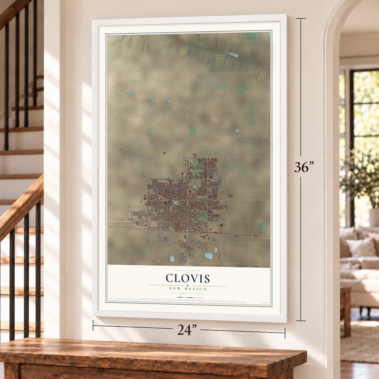
A new map of Clovis, New Mexico, made in 2026 and printed to order on thick archival matte paper.
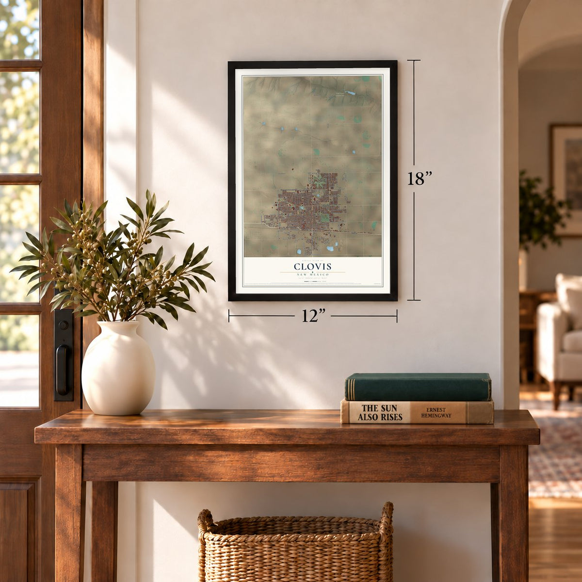
12" x 18" Archival Matte Print
A Map of Home. A Work of Art.
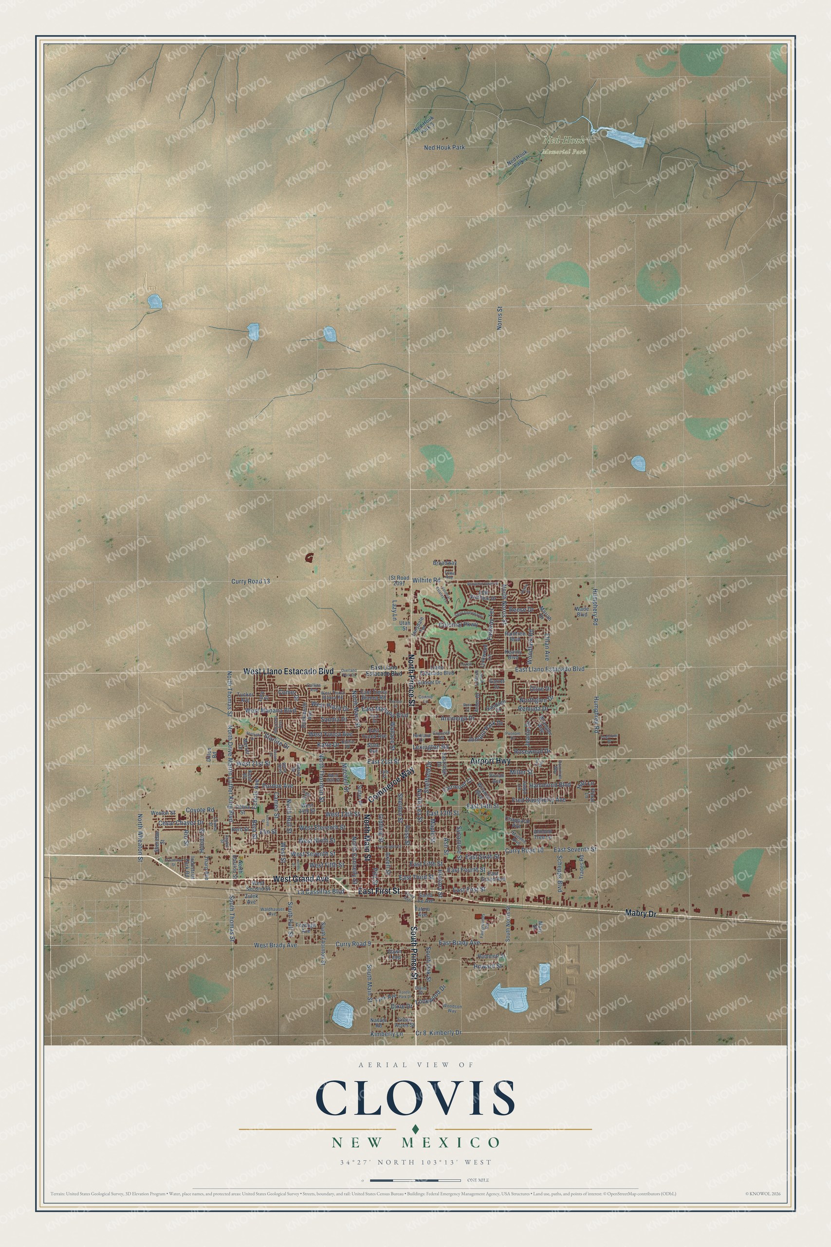
Explore Clovis, New Mexico from a whole new perspective. Created using aerial imagery and detailed geographic data, this map captures Clovis building by building, with labeled streets, familiar landmarks, and shaded topographical relief that highlights the natural contours of the landscape.
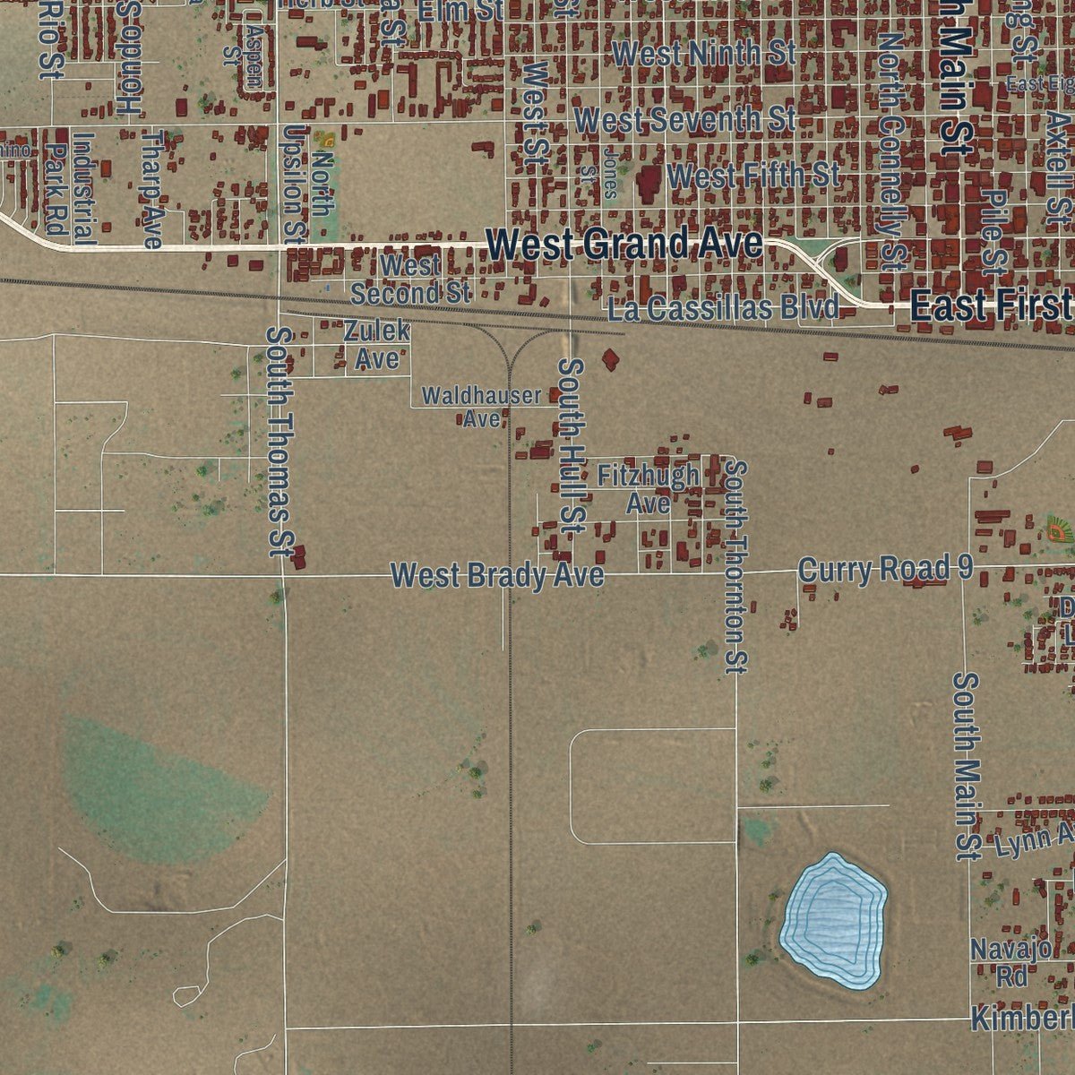
Combining modern data with the timeless character of a vintage atlas, this map is just as interesting up close as it is beautiful on the wall. Whether you grew up in Clovis, spent memorable years there, or call it home today, this unique map is a great way to celebrate a place that means something to you. Zoom in on the preview to look for your street, and then order a print to put your memories on the wall.
Three ways to hang it
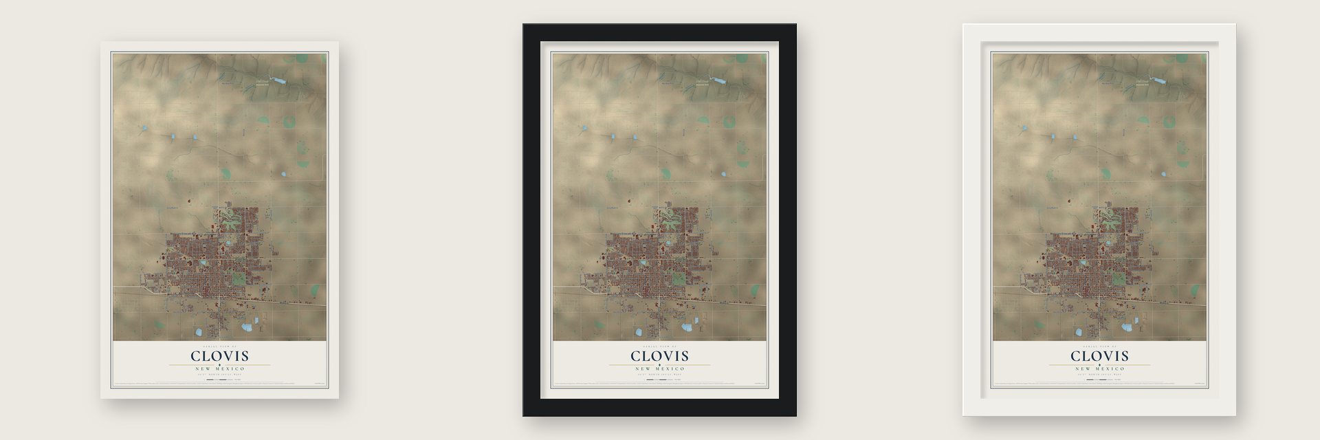
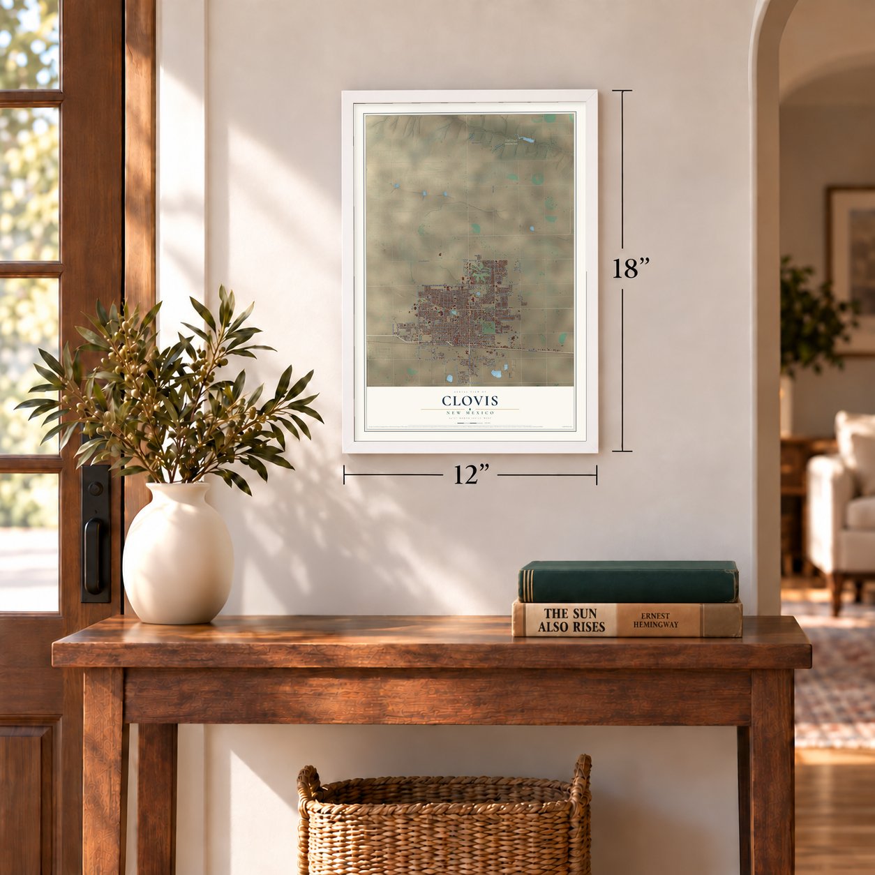
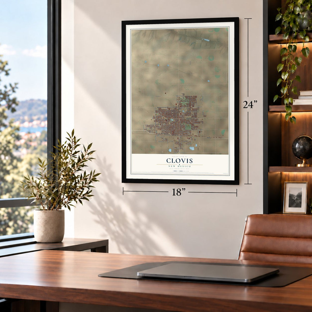
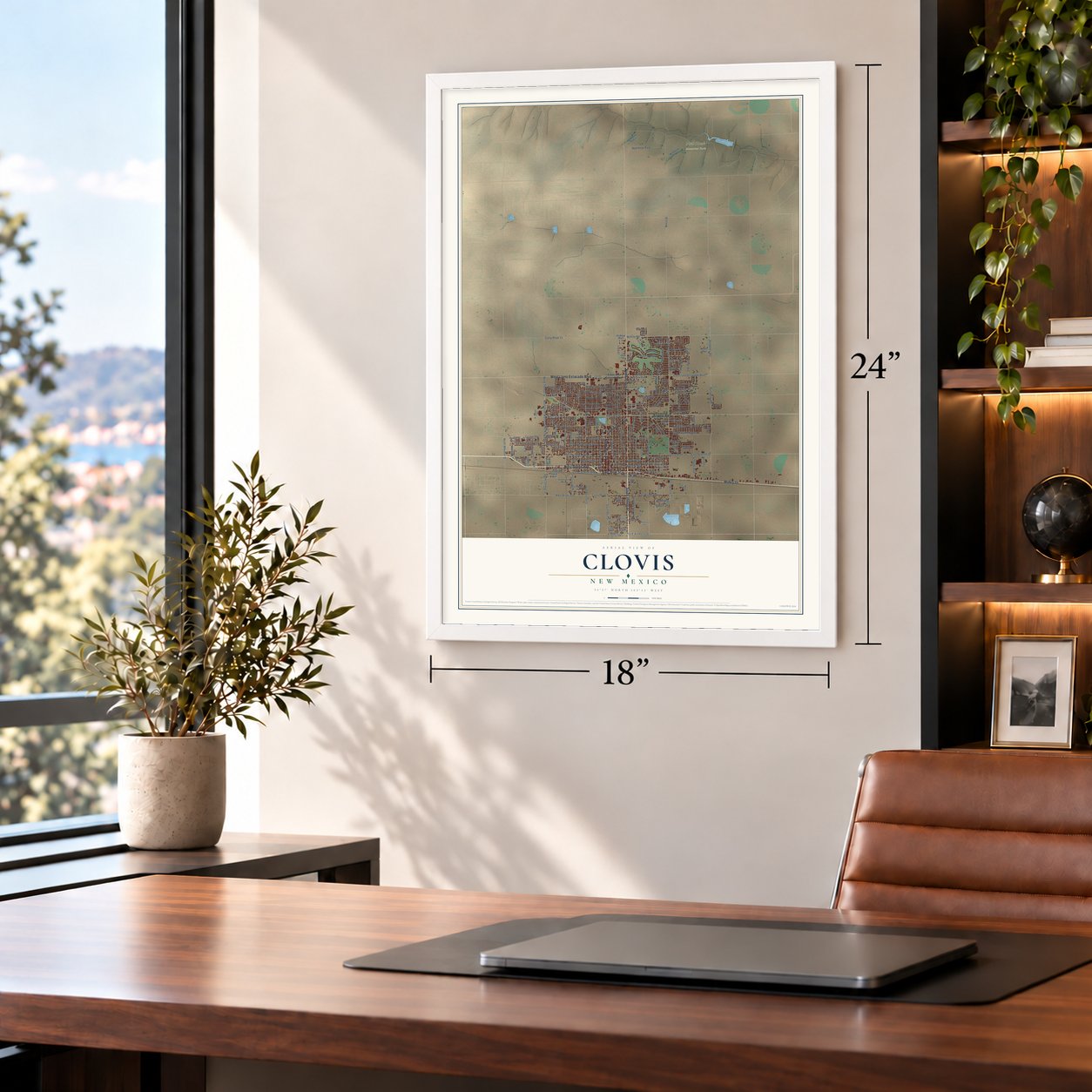
Unframed archival matte, a black wood frame or a white wood frame.
Up close
Geography Worth Displaying
This map was created using accurate cartographic data and authoritative geographic sources, including the U.S. Geological Survey and the Census Bureau. The map brings together terrain, waterways, roads, and building detail. The majority of the streets are labeled, houses are accurately depicted, and the topography is derived from government sources. Combining local data with carefully composed color and shading leads to this beautifully detailed Clovis artwork for your wall.
Rather than simply showing street outlines, we’ve included as many of the street names as we could reasonably fit on the map while keeping their names legible. Zoom in on the high resolution preview to see exactly what’s on the map. We truly set out to create a statement piece for anyone who loves Clovis. So whether it’s for you, or a gift for someone you love, we hope this map of Clovis brings back fond memories.
Read the story behind this map of Clovis, New Mexico from 2026.

About Clovis, New Mexico
Clovis is a city of 38,567 people and the seat of Curry County, on the Llano Estacado close to the Texas line. In 1906 the Atchison, Topeka and Santa Fe Railway picked this flat ground on a new line as the place for a town and its rail yards. The railroad bought the land on October 2, 1906, and began selling town lots on May 1, 1907.
At first the stop was called Riley's Switch, and then it took the name Clovis, after the first Christian king of the Franks. A story that is probably not true says a rail official's daughter was reading about him and offered the name. The town filled in fast and was incorporated in 1909. The railroad's successor, BNSF Railway, still runs a division point and a big freight yard here, often with more than 100 trains coming and going each day.
- Clovis points, found in 1929In 1929 a fluted stone spear point of a new kind turned up at an ancient site near Clovis. Points like it now carry the town's name, and so does the Clovis culture of the people who made them. They lived across North America about 13,500 years ago.
- Buddy Holly's producerNorman Petty, born in Clovis, played piano at five, led a band as a teenager and had a weekly radio show in high school. In the early 1950s he formed the Norman Petty Trio with his wife Vi and friend Jack Vaughn. Buddy Holly recorded at his Clovis studio. Petty bought the Mesa Theater on Main Street for a second studio in 1960, and in 1963 started KTQM, the area's first FM station, playing country and later Top 40.
- Hotel Clovis, 1931Architect Robert Merrill designed the hotel with an Art Deco outside and a Southwestern Indian interior, and it opened on October 20, 1931. Hank Williams, Tommy Dorsey, Glenn Miller and Louis Armstrong all played its ballroom, and most guests came from the train depot nearby. It closed soon after the Santa Fe ended passenger trains to Clovis in 1971. It joined the National Register in 1984 and is being made into affordable housing.
- Main Street on screenClovis was the main filming location for the 2016 movie Hell or High Water, which started shooting in May 2015. Three buildings in town played banks in the film, and Bill's Jumbo Burger on North Main Street appears in it too.
Find your street
Names on the Clovis map
Every name below is printed on this map. Look for your street, your school, the park where you played, or the pond down the road.
Places and landmarks2
- Ned Houk Memorial Park
- Ned Houk Park
Streets and roads201
- East First Street
- Mabry Drive
- North Prince Street
- South Prince Street
- North Main Street
- West Grand Avenue
- Airport Highway
- West Llano Estacado Boulevard
- Commerce Way
- North Norris Street
- North Drive Martin Luther King Boulevard
- Norris Street
- North Thomas Street
- South Thomas Street
- West 21st Street
- Cesar Chavez Drive
- East 21st Street
- West Manana Boulevard
- North Wheaton Street
- East 14th Street
- West Brady Avenue
- East Manana Boulevard
- Kimberly Lane
- Kimberly Drive
- East Brady Avenue
- Humphery Road
- Humphrey Road
- Curry Road 9
- West Seventh Street
- East Seventh Street
Show all 201 streets
- Hickory Street
- Cr 8
- Northglen Drive
- Starlite Drive
- Curry Road 13
- Wilhite Road
- Sycamore Street
- North Thornton Street
- Axtell Street
- Wallace Street
- Ross Street
- Gidding Street
- Sheldon Street
- Fairway Terrace
- East Llano Estacado Boulevard
- Mitchell Street
- East Fourth Street
- East Fifth Street
- East Third Street
- Purdue Avenue
- North Hull Street
- Sandia Drive
- East Sixth Street
- West Ninth Street
- Cameo Street
- West 13th Street
- Colonial Parkway
- North Lea Street
- Coyote Road
- Pile Street
- Echols Avenue
- Ash Street
- South Main Street
- Hammond Boulevard
- Curry Road 10
- East 13th Street
- West Eleventh Street
- Schepps Boulevard
- Maple Street
- Ethan Avenue
- Rosewood Drive
- North Connelly Street
- West Yucca Avenue
- West Fifth Street
- Comer Drive
- West Street
- Lexington Road
- Beta Street
- Jeanie Drive
- Fairmont Court
- West Plaza Drive
- Howard Street
- Remuda Drive
- Fred Daugherty Avenue
- Katie Drive
- Miller Street
- Jonquil Park Drive
- Arcineiga Drive
- South Hull Street
- La Cassillas Boulevard
- South Oak Street
- Rio Street
- Elm Street
- Lazy Lane
- Hondo Street
- Woodlark Road
- Sheffield Drive
- Lockwood Drive
- Reese Drive
- Dixie Drive
- Olive Drive
- Hali Lane
- South Norris Street
- Dawn Loop
- South Thornton Street
- Llano Estacado Boulevard
- East Grand Avenue
- West Second Street
- Lew Wallace Drive
- West 14th Street
- Wrangler Way
- Almond Tree Lane
- Duckworth Avenue
- Eastridge Drive
- Lore Street
- East Tierra Blanca Road
- Sandzen Drive
- Wilshire Boulevard
- Merrill Drive
- Trades Road
- Sheridan Street
- Weston Street
- Sunset Drive
- Chapparal Avenue
- Raintree Boulevard
- Linkwood Lane
- Santa Fe Avenue
- Jadyn Lane
- Tucker Avenue
- Ned Houk Park 4
- Gerry Drive
- Dillon Road
- Fitzhugh Avenue
- Arbor Drive
- Vivian Avenue
- Lynn Avenue
- Hammett Street
- Ned Houk Park 3
- East Yucca Avenue
- Mariah Drive
- Zulek Avenue
- Innsdale Terrace
- Tharp Avenue
- Industrial Park Road
- Kearny Boulevard
- North Upsilon Street
- Broadway
- Navajo Road
- Debra Street
- Herb Street
- Sutter Place
- Green Acres Street
- Floral Lane
- Wade Boulevard
- Utah Street
- Garret Drive
- Tatum Avenue
- Mary Street
- Kent Place
- State Avenue
- Fairgrounds Road
- Kathie Drive
- Lowe Avenue
- Putnam Drive
- Curry Avenue
- Concord Road
- Harrison Avenue
- Parkland Drive
- Woodson Way
- West Tierra Blanca Road
- Waldhauser Avenue
- Marlene Boulevard
- Rosa Boulevard
- West 18th Street
- Connie Lane
- Chama Street
- Dominion Way
- Aspen Street
- Park Drive
- Collins Avenue
- Yale Street
- Diane Drive
- 19th Street
- East Eighth Street
- Jones Street
- Torreon Drive
- Benjamin Davis Court
- Jane Way
- Saint Andrews Drive
- Colonial Estates Terrace
- Locust Street
- Sasser Drive
- Starlight Drive
- El Camino Street
- Forest Park Drive
- Flagstone Drive
- North Village Drive
- Overland Park Drive
- Bosc Court
- Raven Drive
- Layton Court
Names are listed as they appear on the printed map. Zoom into the product photos to find them.
The art of mapping a place
How This Map Was Made
Real places. Remarkable detail. Discover the layers that turn geographic data into a map of home.

The view from above
Aerial imagery reveals the character of the land: woodland, open fields, and the patterns of a place.

The shape of the land
Elevation data brings hills, valleys, and subtle changes in the landscape into view.

The details of home
Roads, waterways, and building footprints come together to make the map feel unmistakably local.

Geography becomes art
Considered color, shading, and typography bring the layers together in a map made for your wall.


Process illustrated with Mendon, Massachusetts. Aerial imagery: USDA NAIP. Terrain: USGS 3D Elevation Program. Map details and finished artwork: KNOWOL.
The Details
About This Print
Choose an archival matte print, or a black or white Ayous wood frame. The archival matte print is unframed.
Select your size and finish above to see the matching product image and price.
Materials & Craftsmanship
A contemporary map with the character of a classic atlas, printed on archival matte paper. Optional frames are made from Ayous wood.
Your printed map does not include the watermark shown in the full-map preview.
Shipping & Delivery
Free shipping within the United States. Every print is made to order in the USA.
Buying a gift? Add a note in your cart and we'll include it. We never put prices in the package.
Prints ship within 2 to 3 business days. Allow 7 to 10 days total from ordering for delivery. Timing may vary during holidays or periods of high order volume.
Read our shipping policy.
Returns and damaged prints
Each print is made to order. Change-of-mind refunds are not available after production.
If your print arrives damaged, misprinted or incorrect, contact support@knowol.com within 30 days of receiving it. Include your order number, photos and a description of the issue.
Read our full refund and replacement policy. For questions about your order, email support@knowol.com.
Find your town
Looking for another city?
Find a map of home in our New Mexico collection, or any town in the country.
Nearby
Maps of towns near Clovis
Know someone from one of these towns? Their map makes a great gift.
 Cannon AFB
, New Mexico
From $39.99See the map
 Texico
, New Mexico
From $39.99See the map
 Portales
, New Mexico
From $39.99See the map