
Search for another town



Free U.S. delivery 7 to 10 days after you order
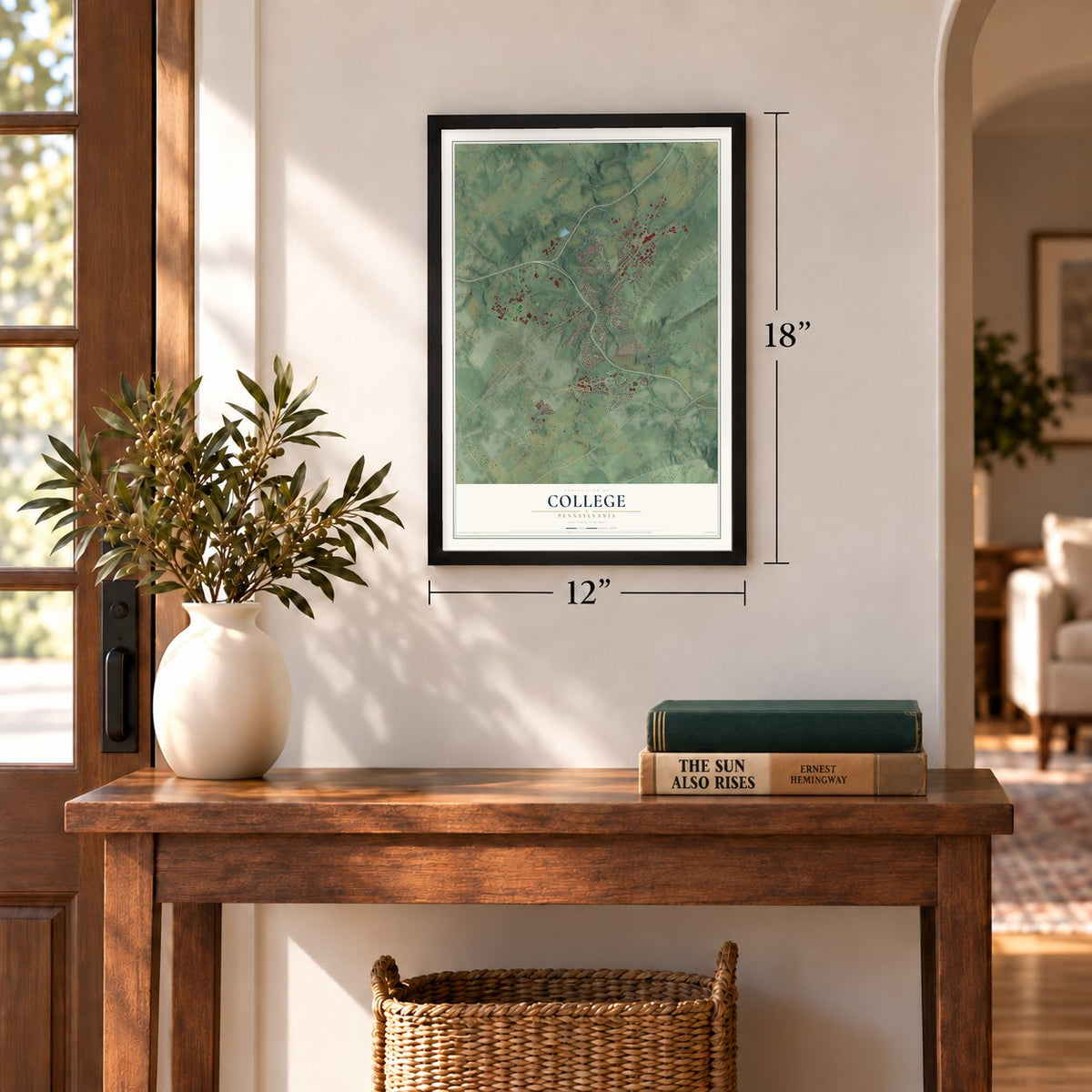
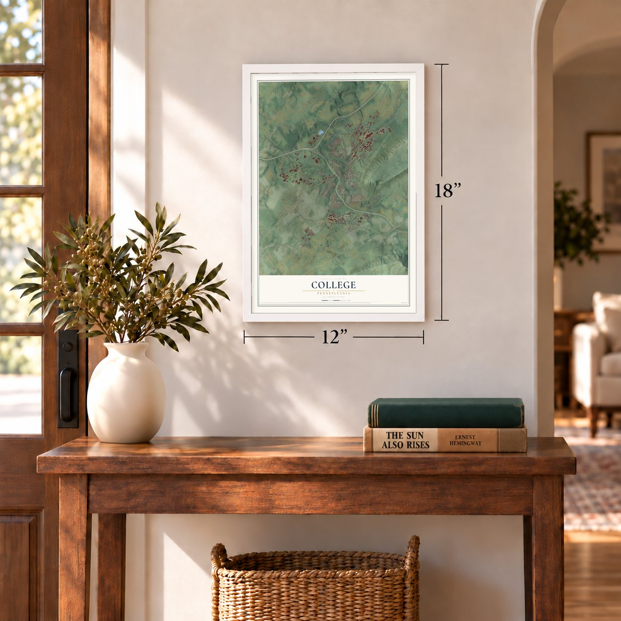
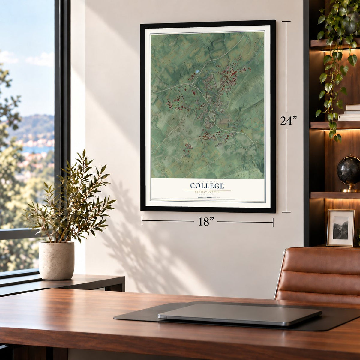
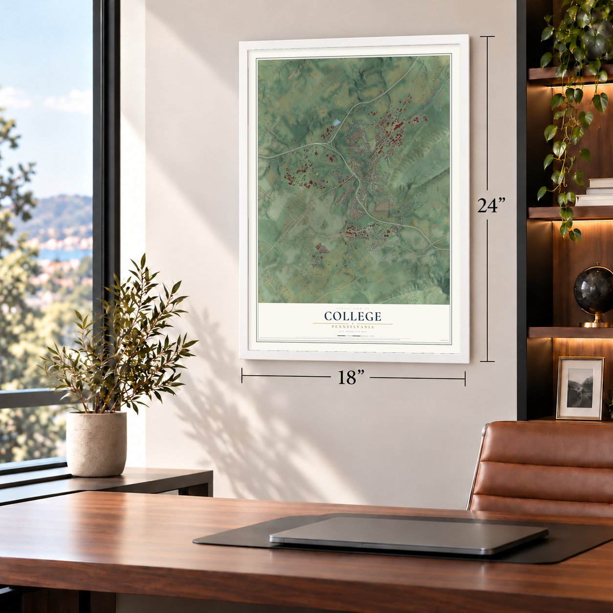
College, Pennsylvania Map Art
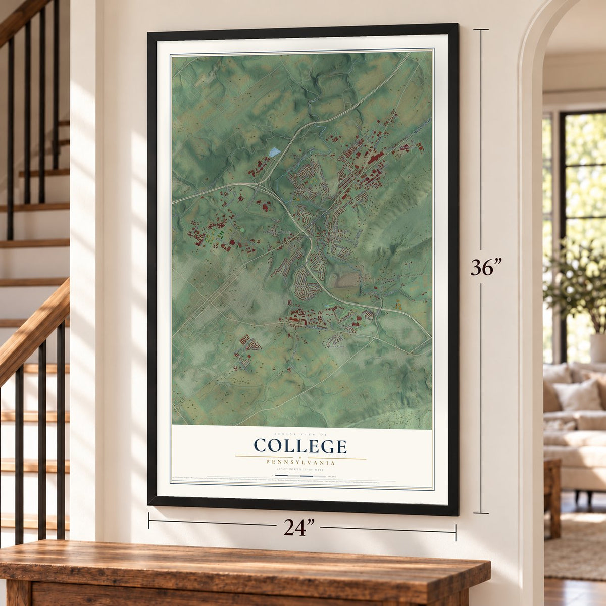
Building by building, with labeled streets and shaded relief.
12" x 18" Archival Matte Print
A Map of Home. A Work of Art.
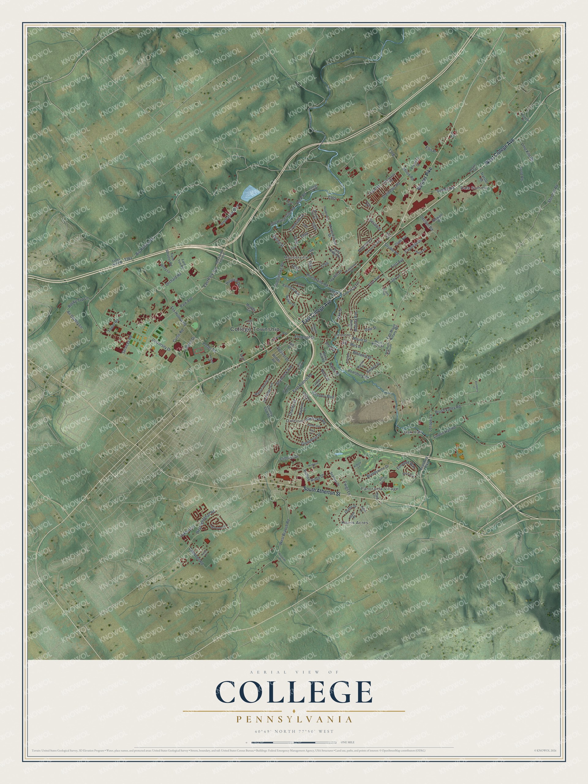
Explore College, Pennsylvania from a whole new perspective. Created using aerial imagery and detailed geographic data, this map captures College building by building, with labeled streets, familiar landmarks, and shaded topographical relief that highlights the natural contours of the landscape.
Combining modern data with the timeless character of a vintage atlas, this map is just as interesting up close as it is beautiful on the wall. Whether you grew up in College, spent memorable years there, or call it home today, this unique map is a great way to celebrate a place that means something to you. Zoom in on the preview to look for your street, and then order a print to put your memories on the wall.
Three ways to hang it
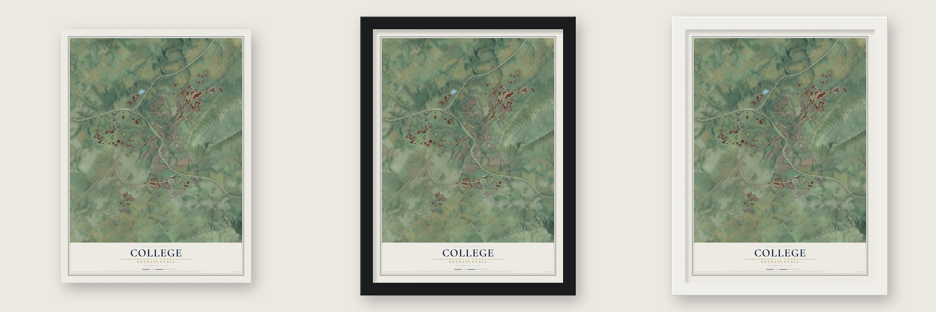
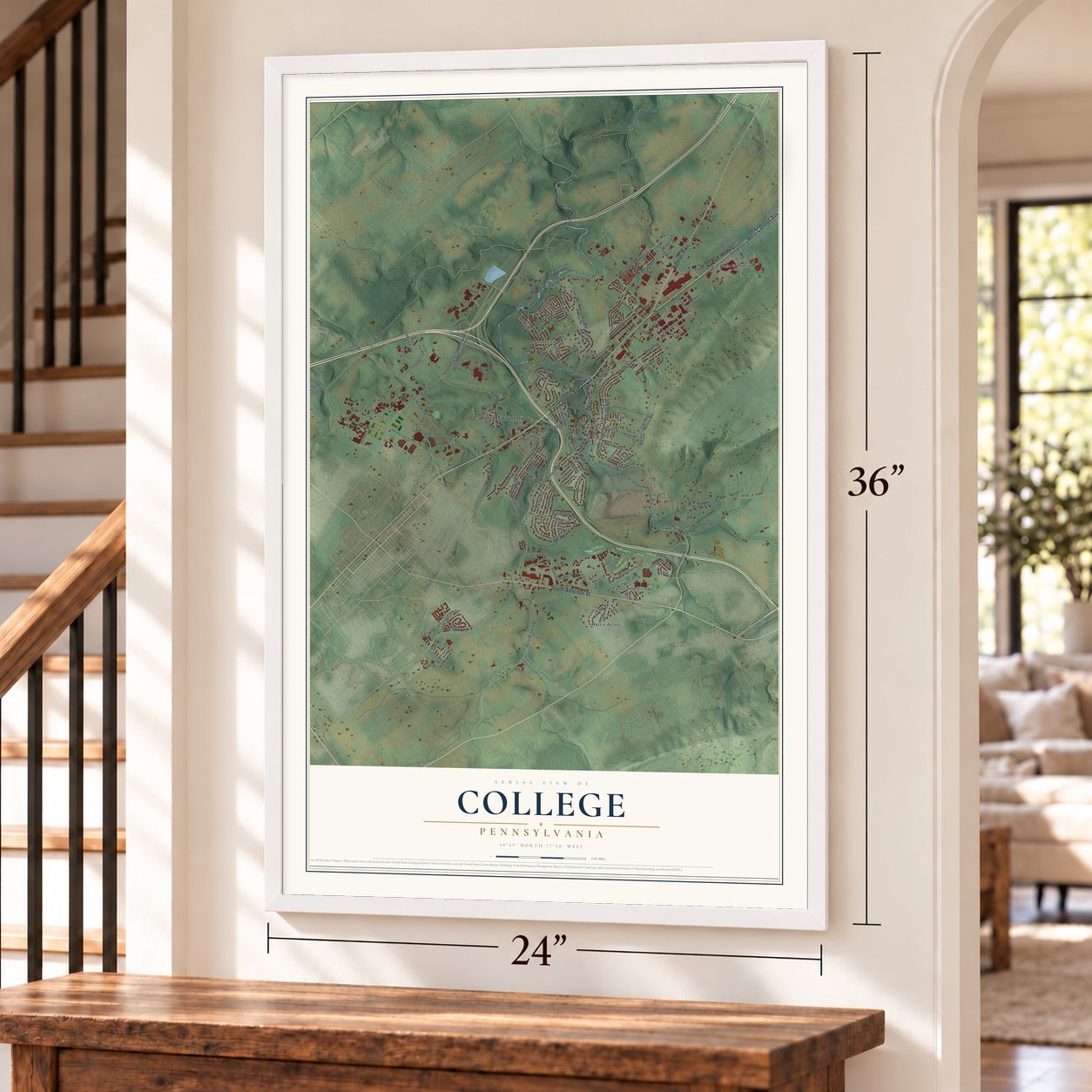
Unframed archival matte, a black wood frame or a white wood frame.
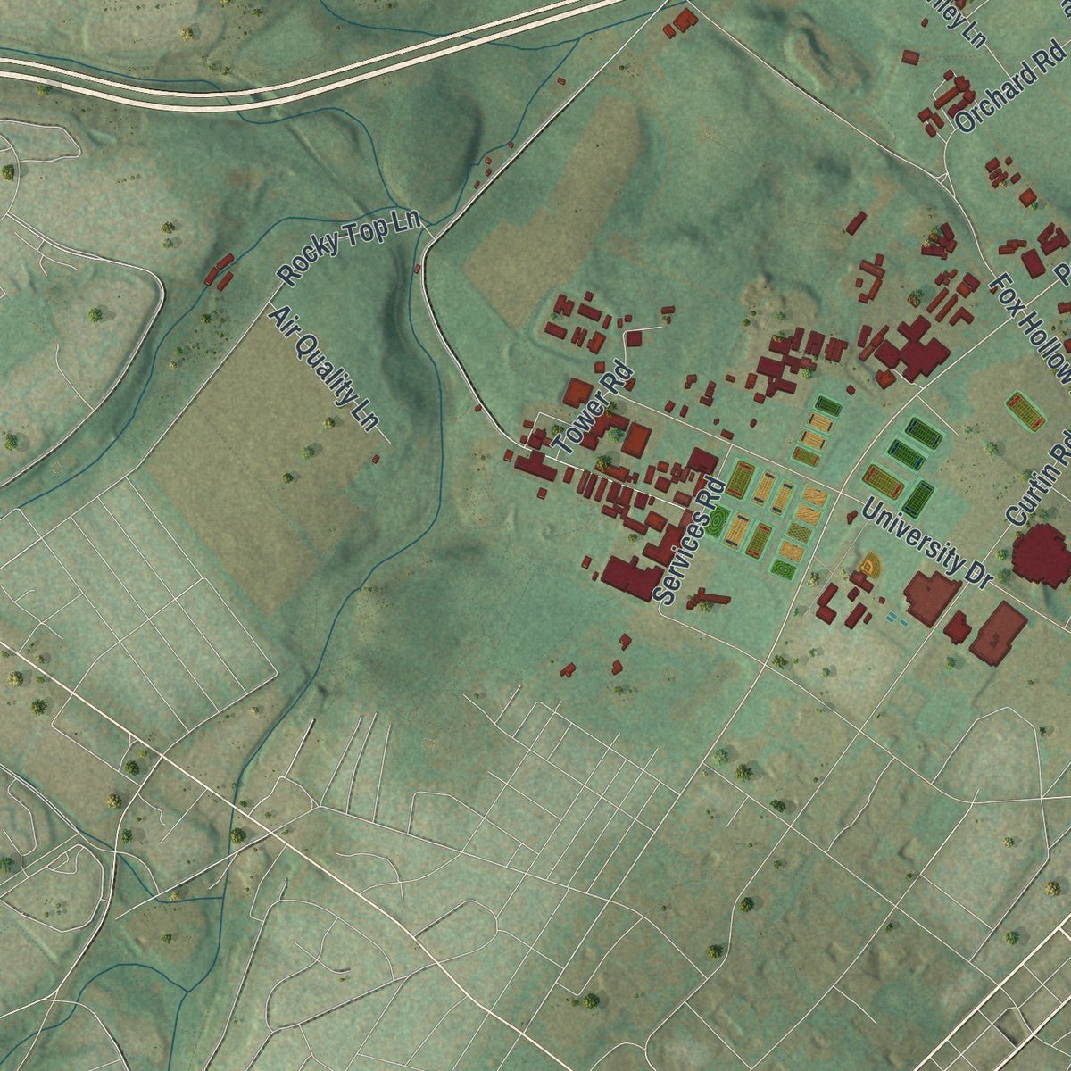
Up close
Geography Worth Displaying
This map was created using accurate cartographic data and authoritative geographic sources, including the U.S. Geological Survey and the Census Bureau. The map brings together terrain, waterways, roads, and building detail. The majority of the streets are labeled, houses are accurately depicted, and the topography is derived from government sources. Combining local data with carefully composed color and shading leads to this beautifully detailed College artwork for your wall.
Rather than simply showing street outlines, we’ve included as many of the street names as we could reasonably fit on the map while keeping their names legible. Zoom in on the high resolution preview to see exactly what’s on the map. We truly set out to create a statement piece for anyone who loves College. So whether it’s for you, or a gift for someone you love, we hope this map of College brings back fond memories.
Read the story behind this map of College, Pennsylvania from 2026.

Find your street
Names on the College map
Every name below is printed on this map. Look for your street, your school, the park where you played, or the pond down the road.
Places and landmarks8
- College Township
- Dale Summit
- Dalevue
- Harris Acres
- Houserville
- Lemont
- Oak Hall
- Panorama Village
Streets and roads143
- East College Avenue
- West College Avenue
- South Atherton Street
- Benner Pike
- Boalsburg Road
- East Park Avenue
- Park Avenue
- Pike Street
- Gerald Street
- Houserville Road
- Trout Road
- Rock Road
- East Branch Road
- Big Hollow Road
- Loop Road
- University Drive
- Puddintown Road
- Orchard Road
- West Branch Road
- Fox Hollow Road
- Struble Road
- Brandywine Drive
- Mount Street
- Linden Hall Road
- Innovation Boulevard
- First Avenue
- Shiloh Road
- Brush Valley Road
- Porter Road
- Hospital Drive
Show all 143 streets
- Elmwood Street
- Creekside Drive
- Shamrock Avenue
- Lenape Lane
- Matilda Avenue
- Greenbriar Drive
- Dreibelbis Road
- Haymaker Road
- Florence Way
- Rolling Ridge Drive
- Norle Street
- West Whitehall Road
- Lime Kiln Road
- Carolean Drive
- Curtin Road
- Shortcut Road
- Villandry Boulevard
- Rocky Top Lane
- Whitehill Street
- Decibel Road
- Dale Street
- Outer Drive
- Charles Street
- Old Houserville Road
- Squirrel Drive
- Jay Lane
- Spring Street
- Services Road
- Campbell Road
- Tower Road
- Air Quality Lane
- Twigs Lane
- Dauer Drive
- Ivy Hill Drive
- Cliffside Drive
- Summit Road
- Rainlo Street
- Ellis Place
- Boalsburg Pike
- Walker Drive
- Scenery Drive
- Oak Ridge Avenue
- Holly Ridge Drive
- Farm Services Road
- Walnut Spring Lane
- Meadowsweet Drive
- Lime Rock Terrace
- Penbrook Lane
- Mary Street
- Yardal Road
- Mayberry Lane
- Farm Ten Road
- Oakhurst Lane
- Balmoral Way
- Stewart Drive
- Oak Lane
- Premiere Drive
- Country Club Road
- Baldwin Street
- Clyde Avenue
- Transfer Road
- Wiley Lane
- East Mount Nittany Road
- Lions Hill Road
- Woods Road
- Shady Drive
- Hill Drive
- Murphy Lane
- Randy Lane
- Merry Hill Road
- Park Avenue Extended
- Mount Nittany Road
- Oak Pointe Circle
- Hunter Avenue
- Villa Crest Drive
- Cortland Drive
- Hubler Road
- Commercial Boulevard
- Mossey Glen Road
- Goldfinch Drive
- Perimeter Drive
- Hillview Avenue
- Millbrook Way
- Pepperberry Lane
- Reese Road
- Asbury Lane
- Constitution Avenue
- Warrick Street
- College 07 Road
- Garver Place
- Mulberry Street
- Harris Drive
- Julian Drive
- Nittany Terrace
- Maple Lane
- Short Street
- Windmere Drive
- Blackberry Lane
- Mitchell Farm Lane
- Hastings Road
- West Mount Nittany Road
- Mountainview Avenue
- Aberdeen Lane
- Watson Road
- Harris Alley
- Mansfield Street
- Margaret Circle
- Slab Cabin Lane
- Ronan Drive
- Persia Road
- Tulira Lane
- Cedar Lane
- Woodside Drive
Names are listed as they appear on the printed map. Zoom into the product photos to find them.
About College, Pennsylvania
College is a township of 10,762 people in Centre County, part of the State College metropolitan area. It was split off from Harris Township on November 25, 1875, and its northeastern corner, near the village of Lemont, takes in the southwestern end of Mount Nittany.
People were working this ground thousands of years before the township existed. During the Archaic period, they dug jasper at two places now known as the Tudek and Houserville sites, and they shaped the stone into tools there.
- Centre County's first ironIn 1792 two colonels who had served as officers in the Revolution, John Patton and Samuel Miles, put up the region's first charcoal iron furnace here. It produced the first iron ever melted in Centre County, and mules carried that iron all the way to Pittsburgh. The furnace went cold in 1809, then ran again from 1825 to 1858, years when Centre County led in making Juniata iron. The Centre Furnace Mansion House joined the National Register in 1979.
- Lemont's grain elevator, 1885Moses Thompson, who founded Lemont, built a grain elevator and coal sheds there in 1885 for his son John. Trains on the Bellefonte, Nittany and Lemont Railroad hauled grain away and brought coal in. A state marker counts the wooden buildings among the rare survivors of their kind.
- A hand in starting Penn StateMoses Thompson also helped found Farmer's High School, which grew into Penn State. Today part of the university lies inside College Township.
- Nittany Mountain by 1768An old county history says the name Nittany Mountain belonged to the range that begins at Dale's Mills in College township and runs down into Buffalo Valley in Union County. People were using that name as early as 1768.
Keep exploring Pennsylvania
College is one of 3,725 Pennsylvania towns we've mapped. Every dot on the map is a print of its own.
The search covers every state, Pennsylvania first.
Near College
Order 2 or more town maps and save 10%. Shown in the size and finish you picked above, so they hang as a set.
- Lemont 12" x 18" / Archival Matte Print $39.99
- Houserville 12" x 18" / Archival Matte Print $39.99
- State College 12" x 18" / Archival Matte Print $39.99
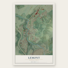
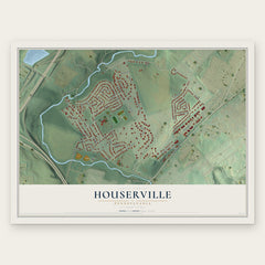
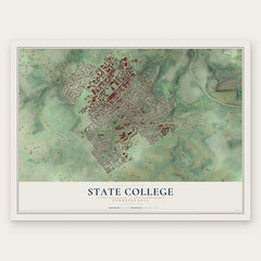
More maps nearby: Boalsburg, Toftrees, Peru, Benner and Harris.
The art of mapping a place
How This Map Was Made
Real places. Remarkable detail. Discover the layers that turn geographic data into a map of home.

The view from above
Aerial imagery reveals the character of the land: woodland, open fields, and the patterns of a place.

The shape of the land
Elevation data brings hills, valleys, and subtle changes in the landscape into view.

The details of home
Roads, waterways, and building footprints come together to make the map feel unmistakably local.

Geography becomes art
Considered color, shading, and typography bring the layers together in a map made for your wall.


Process illustrated with Mendon, Massachusetts. Aerial imagery: USDA NAIP. Terrain: USGS 3D Elevation Program. Map details and finished artwork: KNOWOL.
The Details
About This Print
Choose an archival matte print, or a black or white Ayous wood frame. The archival matte print is unframed.
Select your size and finish above to see the matching product image and price.
Materials & Craftsmanship
A contemporary map with the character of a classic atlas, printed on archival matte paper. Optional frames are made from Ayous wood.
Your printed map does not include the watermark shown in the full-map preview.
Shipping & Delivery
Free shipping within the United States. Every print is made to order in the USA.
Buying a gift? Add a note in your cart and we'll include it. We never put prices in the package.
Prints ship within 2 to 3 business days. Allow 7 to 10 days total from ordering for delivery. Timing may vary during holidays or periods of high order volume.
Read our shipping policy.
Returns and damaged prints
Each print is made to order. Change-of-mind refunds are not available after production.
If your print arrives damaged, misprinted or incorrect, contact support@knowol.com within 30 days of receiving it. Include your order number, photos and a description of the issue.
Read our full refund and replacement policy. For questions about your order, email support@knowol.com.