
Search for another town
Free U.S. delivery 7 to 10 days after you order
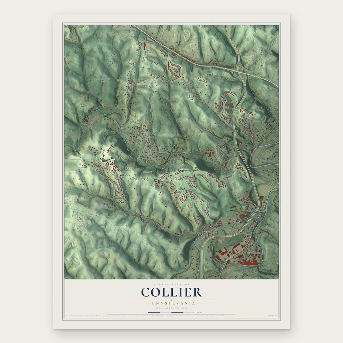
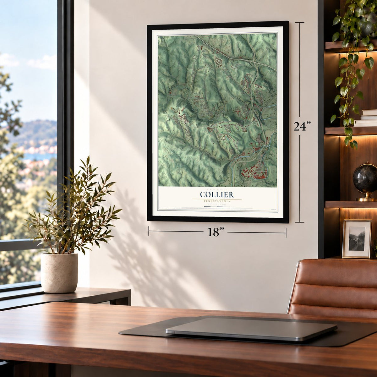
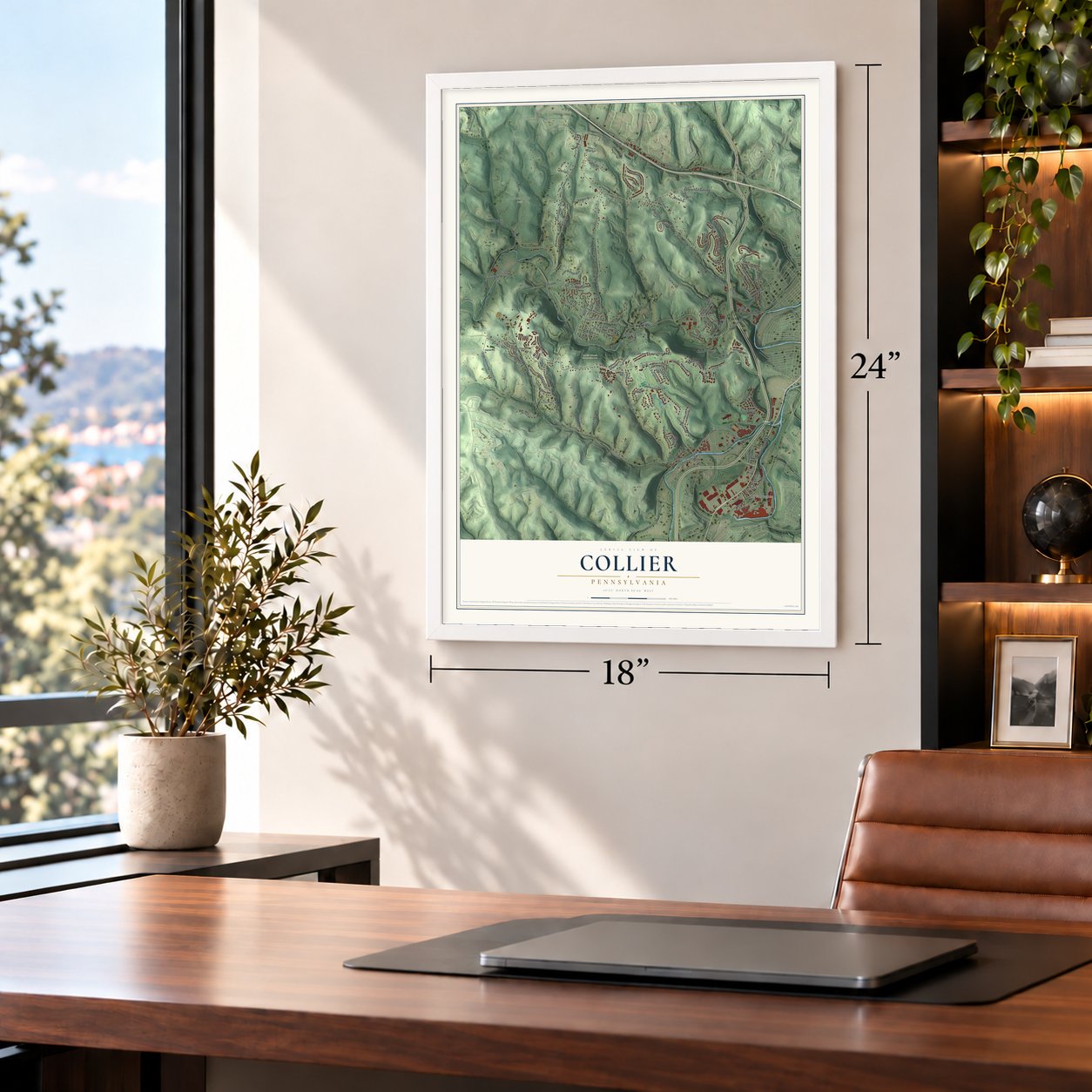
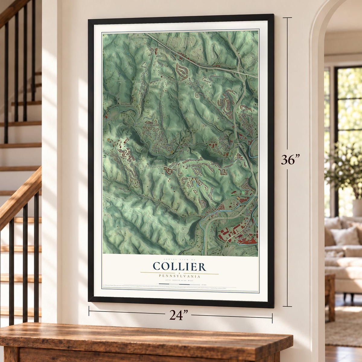
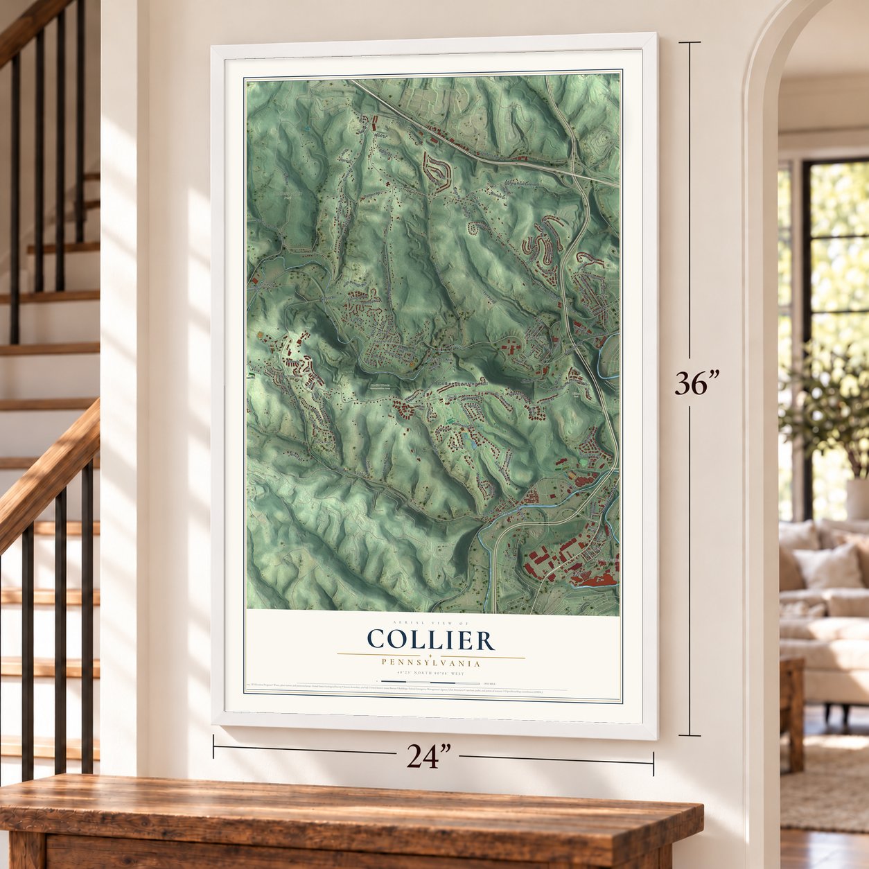
Collier, Pennsylvania Map Art
Building by building, with labeled streets and shaded relief.
12" x 18" Archival Matte Print
A Map of Home. A Work of Art.
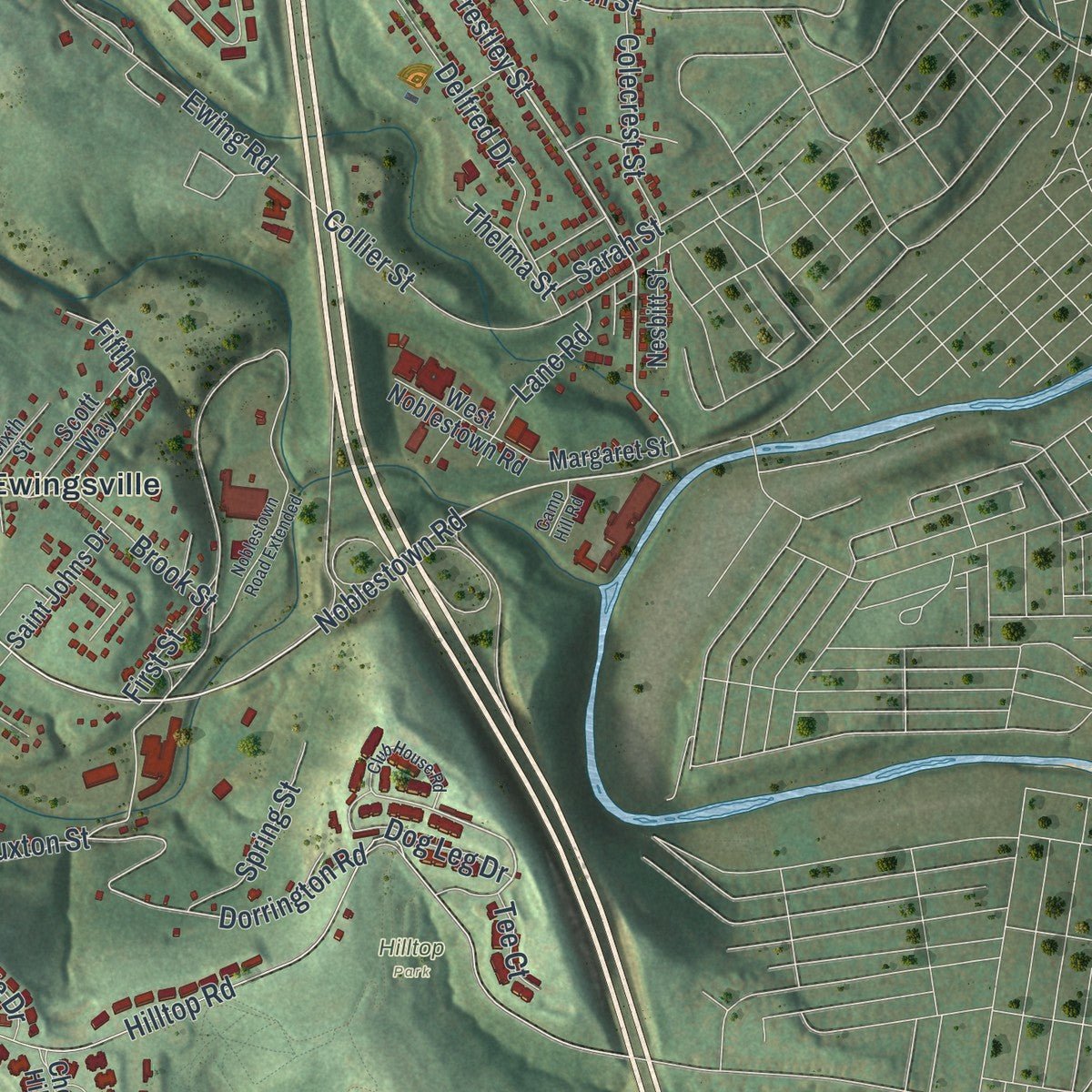
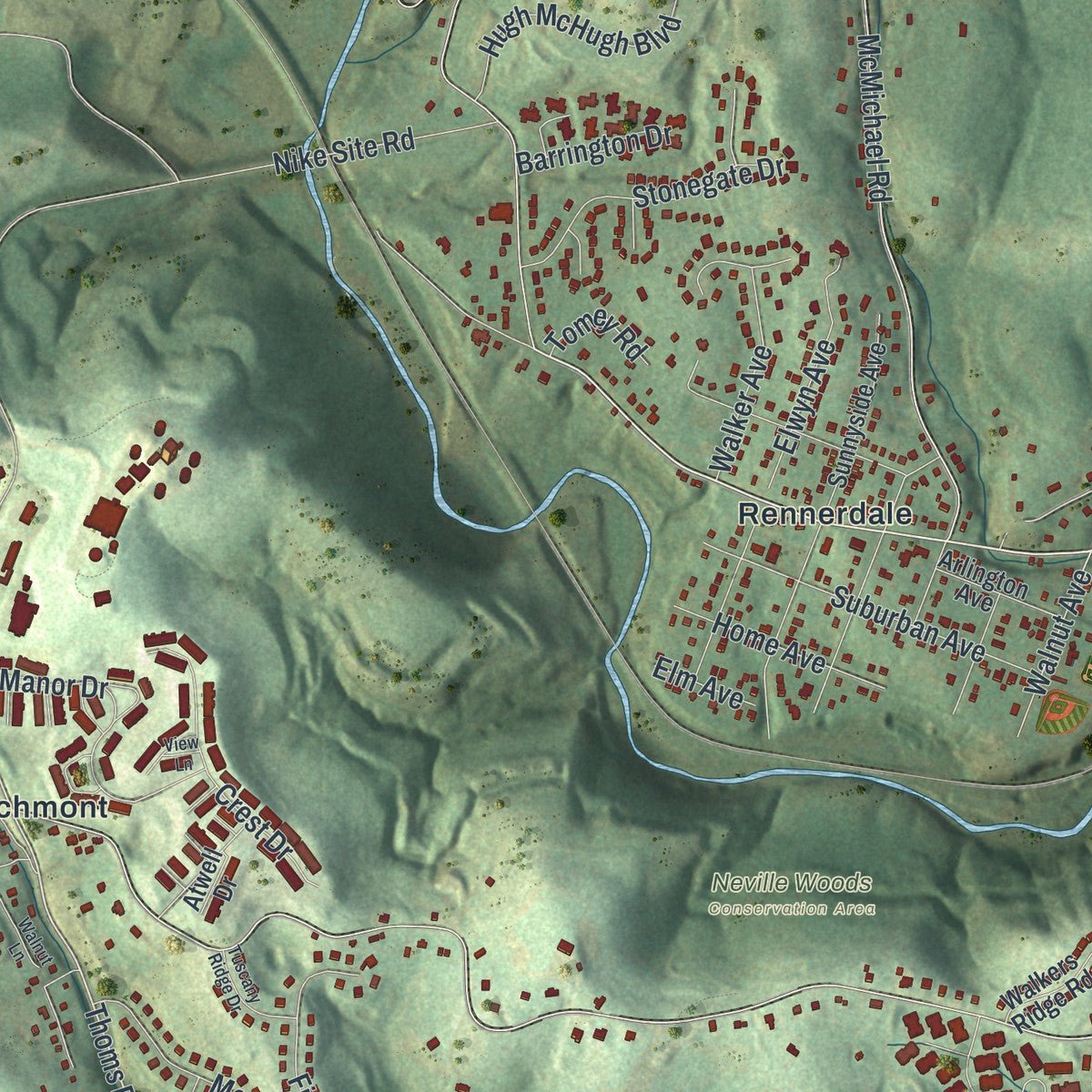
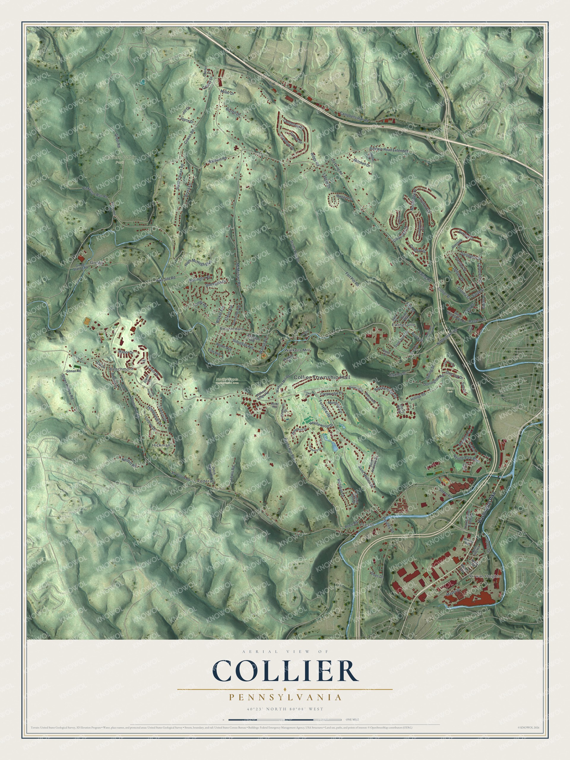
Explore Collier, Pennsylvania from a whole new perspective. Created using aerial imagery and detailed geographic data, this map captures Collier building by building, with labeled streets, familiar landmarks, and shaded topographical relief that highlights the natural contours of the landscape.
Combining modern data with the timeless character of a vintage atlas, this map is just as interesting up close as it is beautiful on the wall. Whether you grew up in Collier, spent memorable years there, or call it home today, this unique map is a great way to celebrate a place that means something to you. Zoom in on the preview to look for your street, and then order a print to put your memories on the wall.
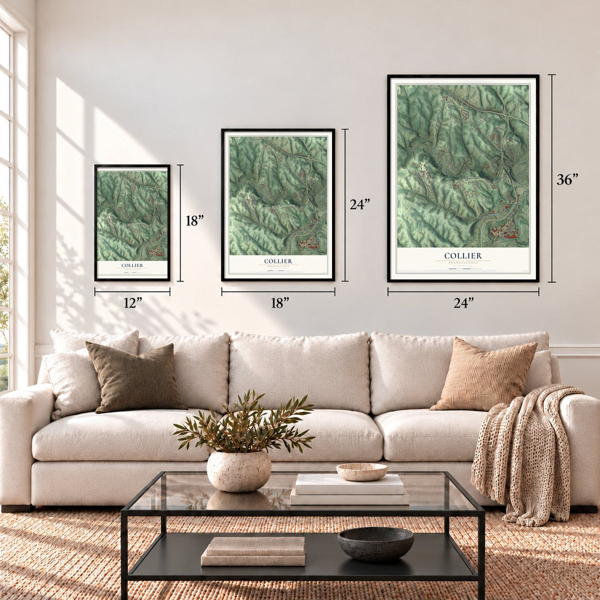
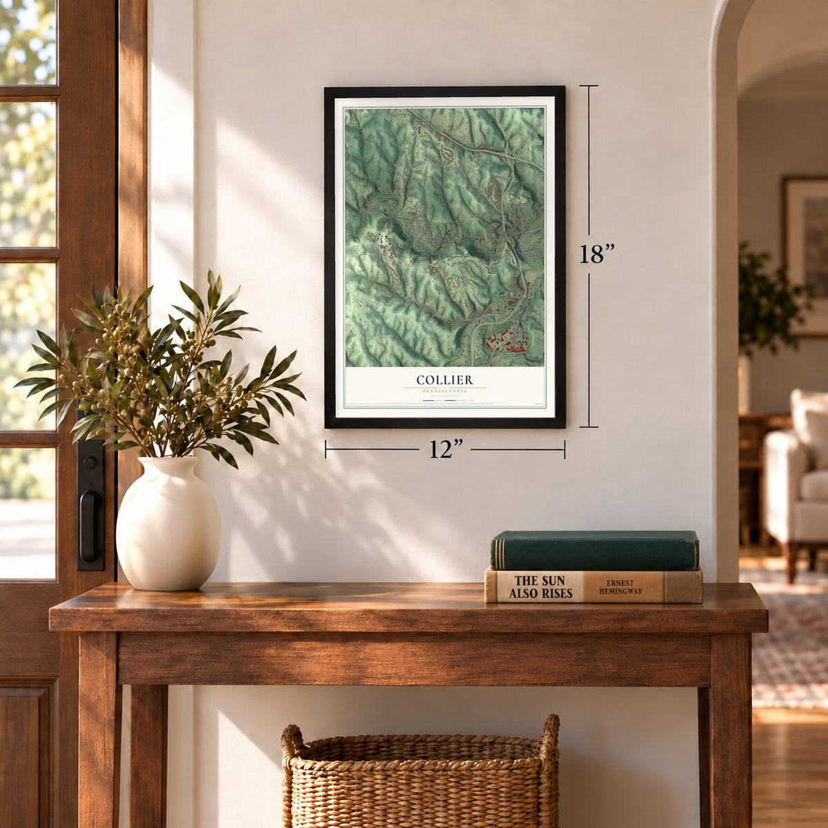
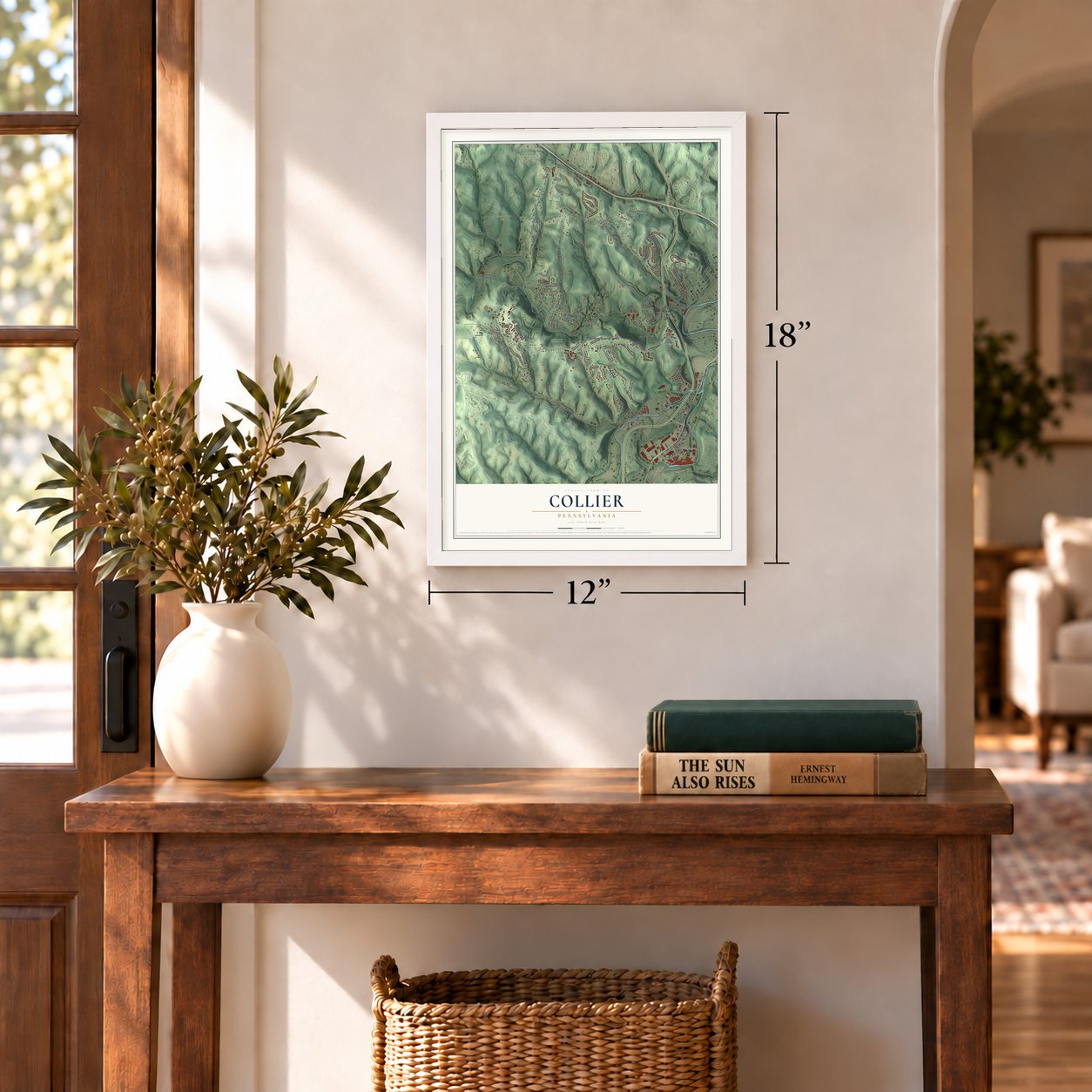
Three ways to hang it
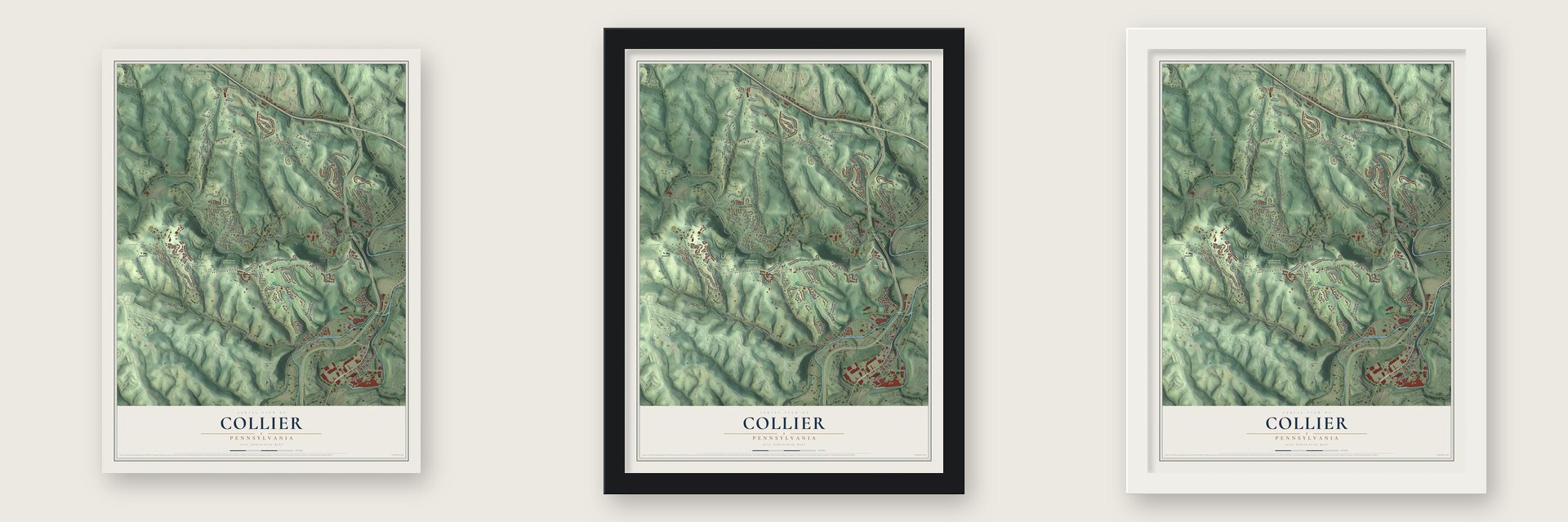
Unframed archival matte, a black wood frame or a white wood frame.
Up close
Geography Worth Displaying
This map was created using accurate cartographic data and authoritative geographic sources, including the U.S. Geological Survey and the Census Bureau. The map brings together terrain, waterways, roads, and building detail. The majority of the streets are labeled, houses are accurately depicted, and the topography is derived from government sources. Combining local data with carefully composed color and shading leads to this beautifully detailed Collier artwork for your wall.
Rather than simply showing street outlines, we’ve included as many of the street names as we could reasonably fit on the map while keeping their names legible. Zoom in on the high resolution preview to see exactly what’s on the map. We truly set out to create a statement piece for anyone who loves Collier. So whether it’s for you, or a gift for someone you love, we hope this map of Collier brings back fond memories.
Read the story behind this map of Collier, Pennsylvania from 2026.
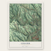
Find your street
Names on the Collier map
Every name below is printed on this map. Look for your street, your school, the park where you played, or the pond down the road.
Places and landmarks14
- Collier Township Hall
- Kirwan Heights
- Collier Park
- Hilltop Park
- Neville Woods Conservation Area
- Settlers Cabin Park
- Beechmont
- Ewingsville
- Federal
- Gregg
- Hickman
- Presto
Show all 14 places
- Rennerdale
- Walkers Mill
Streets and roads135
- Washington Pike
- Prestley Street
- Northridge Drive
- Darlington Street
- Noblestown Road
- Thoms Run Road
- Price Road
- Cloverleaf Drive
- Dorrington Road
- Hilltop Road
- McMichael Road
- Baldwin Road
- Ridge Road
- Fort Pitt Road
- Scotts Run Road
- Ewing Road
- Boyds Run Road
- Forsythe Road
- Steen Hollow Road
- Nike Site Road
- Campbells Run Road
- Baldwin Road Extended
- Cowan Road
- Greer Road
- Meridian Drive
- Steen Road
- Saint Mellion Drive
- Prestley Road
- Collier Street
- Bryna Lane
Show all 135 streets
- Delfred Drive
- Elwyn Avenue
- Mayer Street
- Livorno Drive
- Centennial Drive
- Manor Drive
- Marigold Court
- Firenze Drive
- Freedom Drive
- Suburban Avenue
- Monteverdi Drive
- Joyce Drive
- Neville Park Boulevard
- Hugh McHugh Boulevard
- Stratford Court
- South Cowan Road
- Croghan Drive
- Crest Drive
- Stonegate Drive
- Lewis Road
- Nesbitt Road
- Sunrise Drive
- Colony Drive
- Brook Street
- Spring Street
- Muirfield Circle
- Burrell Drive
- Colecrest Street
- Fifth Street
- Patriot Drive
- Breckenridge Drive
- Home Avenue
- Pinkerton Run Road
- Walker Avenue
- Carnoustie Court
- Mitchell Drive
- Langer Lane
- Nevillewood Drive
- Walnut Avenue
- Lane Road
- Dog Leg Drive
- Barrington Drive
- Tomey Road
- Thelma Street
- Sarah Street
- Jones Drive
- Cluxton Street
- First Street
- Scotti Drive
- Jill Drive
- Tee Court
- Elm Avenue
- Miller Drive
- Barry Avenue
- Gregg Station Road
- Walkers Mill Road
- Canterbury Circle
- Sunnyside Avenue
- Azalea Lane
- English Turn Drive
- Thomas Street Extended
- Carol Drive
- Dutch Hollow Road
- Woodhall Court
- Redfield Drive
- West Noblestown Road
- Pinehurst Drive
- Overlook Drive
- Saint Andrews Drive
- Saint Johns Drive
- Scott Way
- Walkers Ridge Road
- Cherry Hill Drive
- Old Ewing Road
- Kp Hollow Road
- Pinkerton Road
- Sherwood Drive
- Sitman Road
- Arlington Avenue
- Jacob Drive
- Maclaine Drive
- Margaret Street
- Nesbitt Street
- Charter Lane
- Beram Avenue
- Walker Street
- Murray Avenue
- Atwell Drive
- Grey Fox Circle
- Turnberry Drive
- Sherwood Court
- North Gray Avenue
- Bluefield Drive
- Sixth Street
- Crown Place
- Baxter Way
- Sedlars Lane
- Club House Road
- Noblestown Road Extended
- Walnut Lane
- Tuscany Ridge Drive
- Wedgewood Court
- Boyce Road
- Camp Hill Road
- View Lane
Names are listed as they appear on the printed map. Zoom into the product photos to find them.
About Collier, Pennsylvania
Collier is a township of 8,935 people in Allegheny County. It came into being on June 7, 1875, carved out of pieces of Robinson, South Fayette and North Fayette, after voters approved the plan by a margin of 66 votes out of 190 cast. Its name honors Frederick H. Collier, who sat as a judge on the county court.
An 1889 county history names the Ewings and the Walkers as the first families on this land. James Ewing, a native of Maryland, came west in 1770, put up the first gristmill on Robinson's Run and owned a strip two miles long reaching to Walker's Mills. Gabriel and Isaac Walker arrived from Lancaster County in 1772 and held about 2,000 acres between Robinson's Run and Scott's Run.
- The raid of 1782In September 1782, about 25 Native raiders attacked Gabriel Walker's home and set his cabin on fire. Two of his children died, and three more were carried off as captives. William Harkins, a boy bound to the family as an indentured servant, escaped and ran to warn Isaac Walker's household. The three captured children returned home in 1784.
- Packhorses to Lancaster CountyIsaac Walker made his home at Walker's Mills at a time when no wagon road reached the area. Twice a year, in spring and fall, he led a string of packhorses east to Lancaster County to bring back supplies and ammunition. The county history says he was also courting a young widow there, and the two married in 1779.
- Boatswain of Camp HillJames Ewing brought enslaved people with him when he settled here. According to the 1889 county history, he gave one man, Boatswain, his freedom, and Boatswain built a home at a place that later came to be called Camp Hill.
- The Walker-Ewing Log HouseThe log house named for the township's two first families stands off Noblestown Road and joined the National Register in 1976. Their names stayed on the land in other ways too: Walkers Mill sits on Noblestown Road, and Ewingsville lies to the east.
- The Father of Flag DayWilliam T. Kerr, remembered as the Father of Flag Day, made his home in Rennerdale from 1911 to 1928, and a state historical marker there records his years in town. In 1949 he was at President Truman's side when the president signed the law setting June 14 as Flag Day.
Keep exploring Pennsylvania
Collier is one of 3,725 Pennsylvania towns we've mapped. Every dot on the map is a print of its own.
The search covers every state, Pennsylvania first.
Near Collier
Order 2 or more town maps and save 10%. Shown in the size and finish you picked above, so they hang as a set.
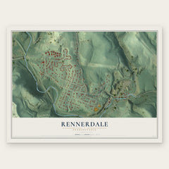
- Rennerdale 12" x 18" / Archival Matte Print $39.99
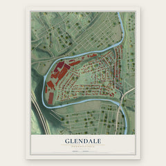
- Glendale 12" x 18" / Archival Matte Print $39.99
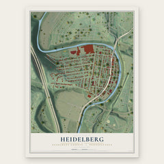
- Heidelberg 12" x 18" / Archival Matte Print $39.99
More maps nearby: Carnegie, Pennsbury Village, Rosslyn Farms, Oakdale and Scott.
The art of mapping a place
How This Map Was Made
Real places. Remarkable detail. Discover the layers that turn geographic data into a map of home.

The view from above
Aerial imagery reveals the character of the land: woodland, open fields, and the patterns of a place.

The shape of the land
Elevation data brings hills, valleys, and subtle changes in the landscape into view.

The details of home
Roads, waterways, and building footprints come together to make the map feel unmistakably local.

Geography becomes art
Considered color, shading, and typography bring the layers together in a map made for your wall.


Process illustrated with Mendon, Massachusetts. Aerial imagery: USDA NAIP. Terrain: USGS 3D Elevation Program. Map details and finished artwork: KNOWOL.
The Details
About This Print
Choose an archival matte print, or a black or white Ayous wood frame. The archival matte print is unframed.
Select your size and finish above to see the matching product image and price.
Materials & Craftsmanship
A contemporary map with the character of a classic atlas, printed on archival matte paper. Optional frames are made from Ayous wood.
Your printed map does not include the watermark shown in the full-map preview.
Shipping & Delivery
Free shipping within the United States. Every print is made to order in the USA.
Buying a gift? Add a note in your cart and we'll include it. We never put prices in the package.
Prints ship within 2 to 3 business days. Allow 7 to 10 days total from ordering for delivery. Timing may vary during holidays or periods of high order volume.
Read our shipping policy.
Returns and damaged prints
Each print is made to order. Change-of-mind refunds are not available after production.
If your print arrives damaged, misprinted or incorrect, contact support@knowol.com within 30 days of receiving it. Include your order number, photos and a description of the issue.
Read our full refund and replacement policy. For questions about your order, email support@knowol.com.