
Search for another town

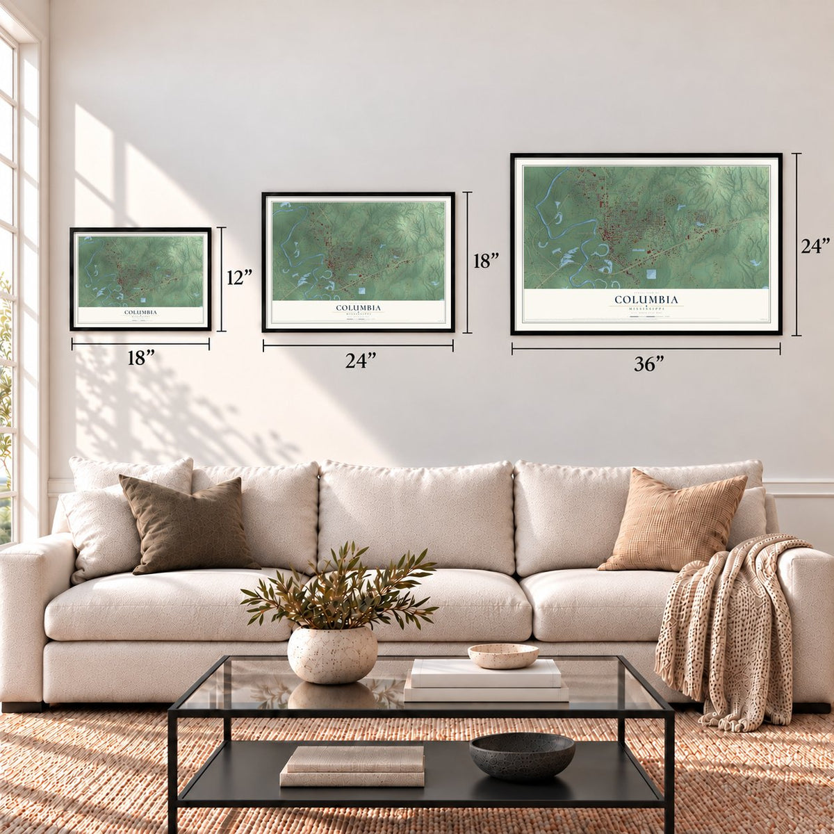

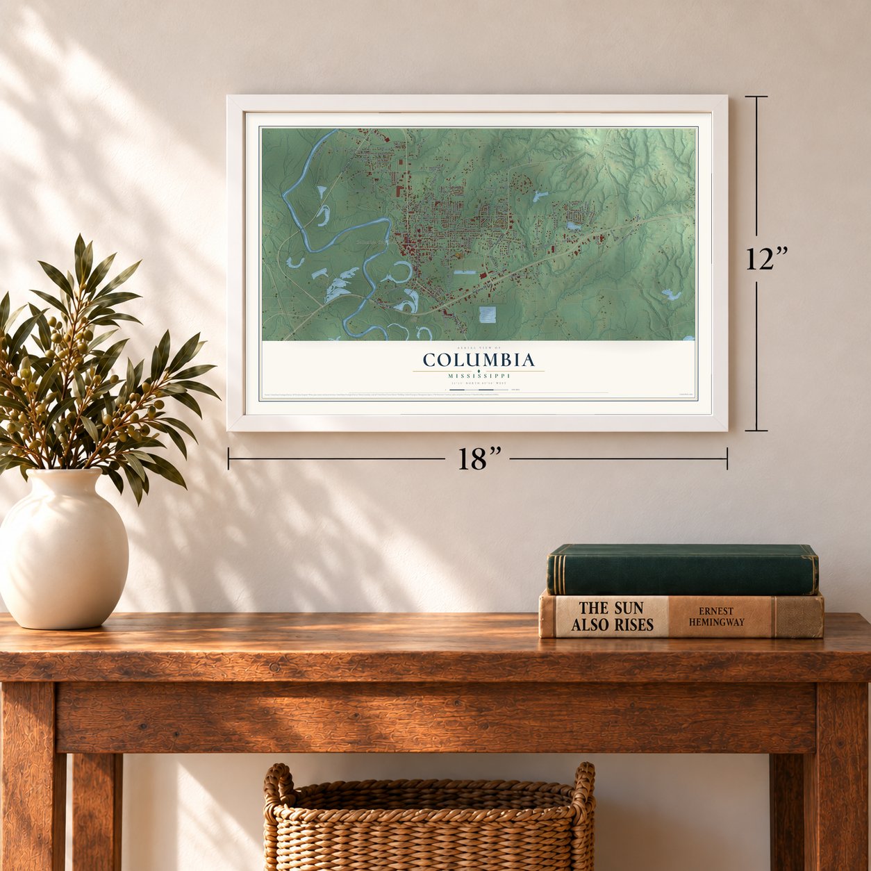

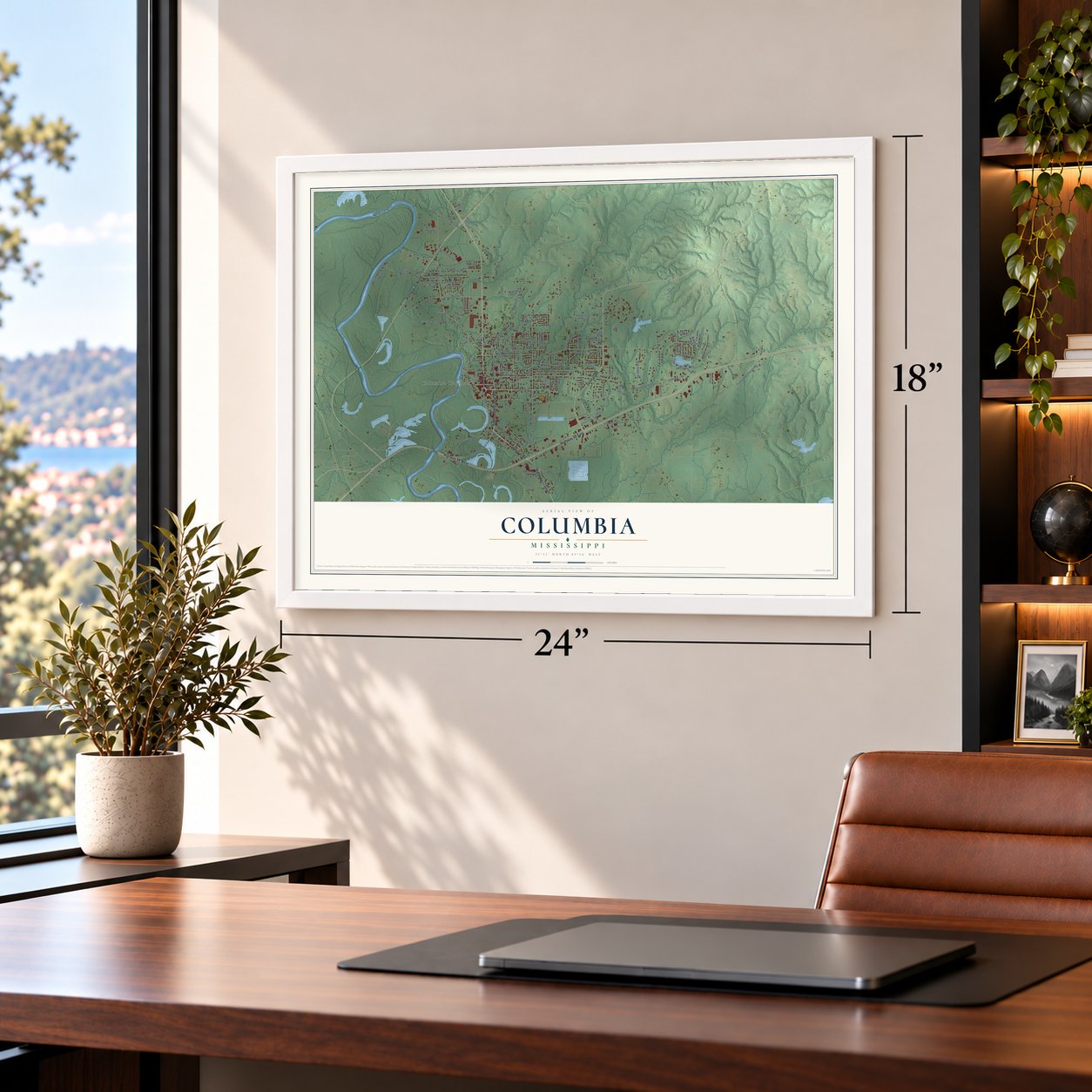

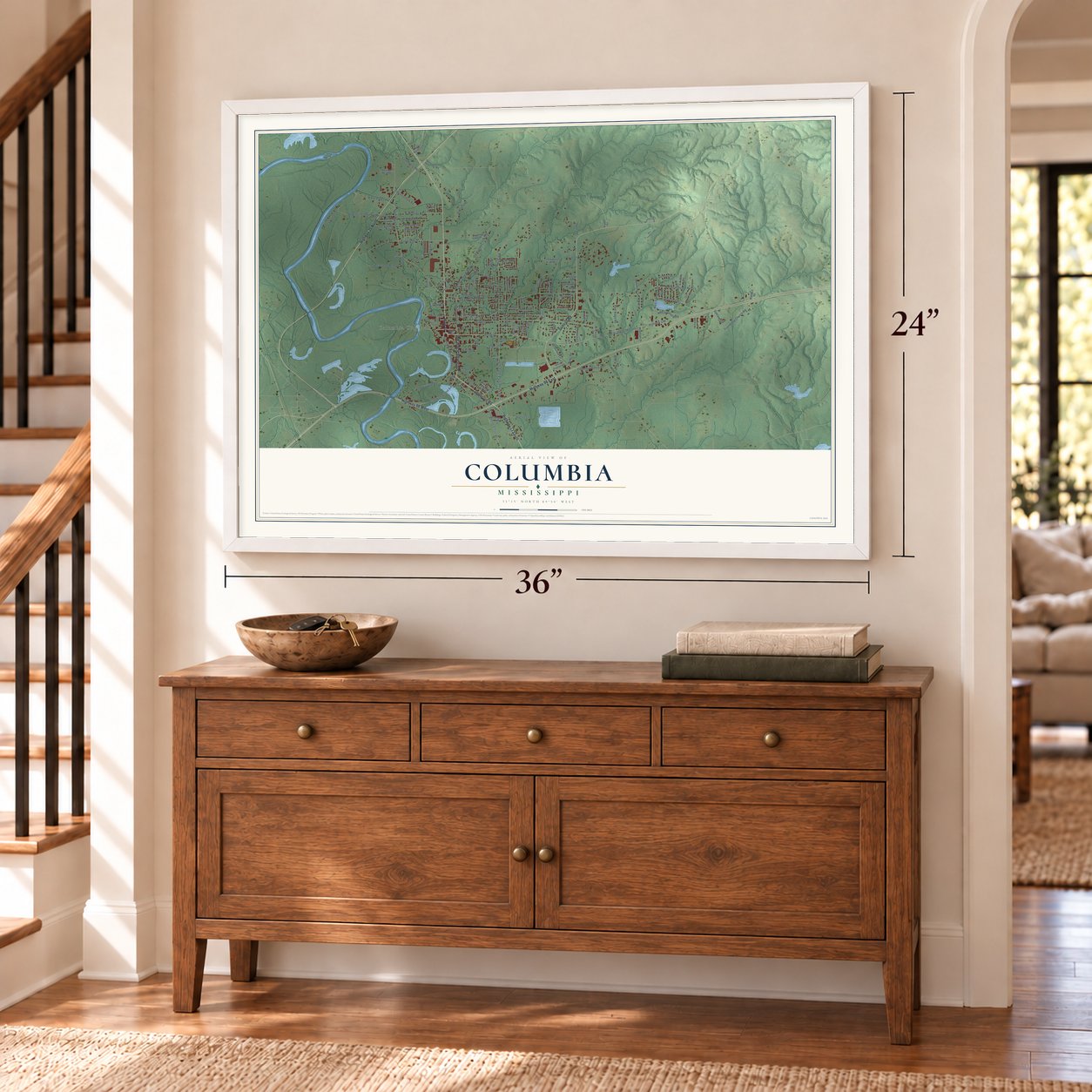

Free U.S. delivery 7 to 10 days after you order
Columbia, Mississippi Map Art
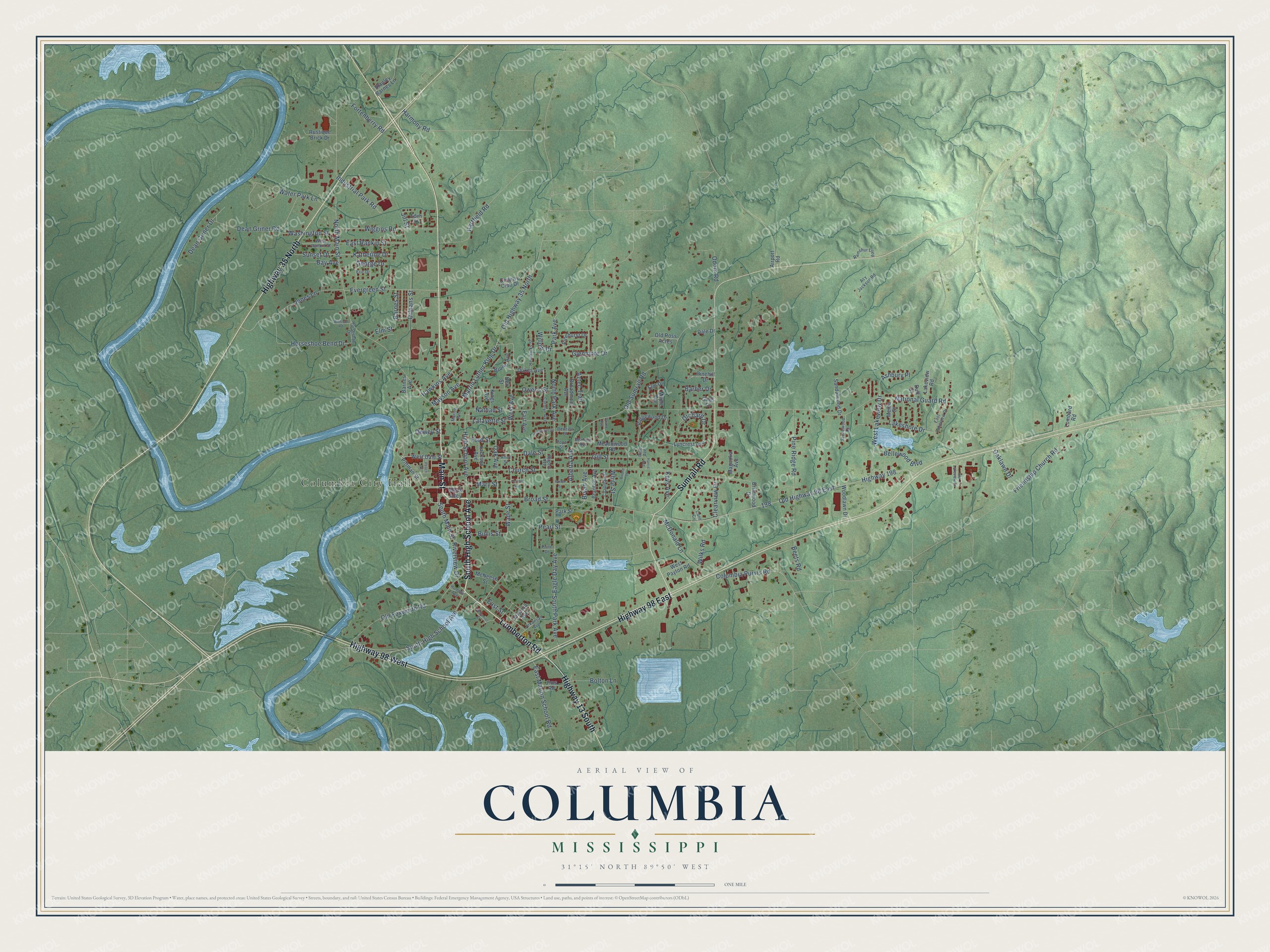
A new map of Columbia, Mississippi, made in 2026 and printed to order on thick archival matte paper.
12" x 18" Archival Matte Print
A Map of Home. A Work of Art.
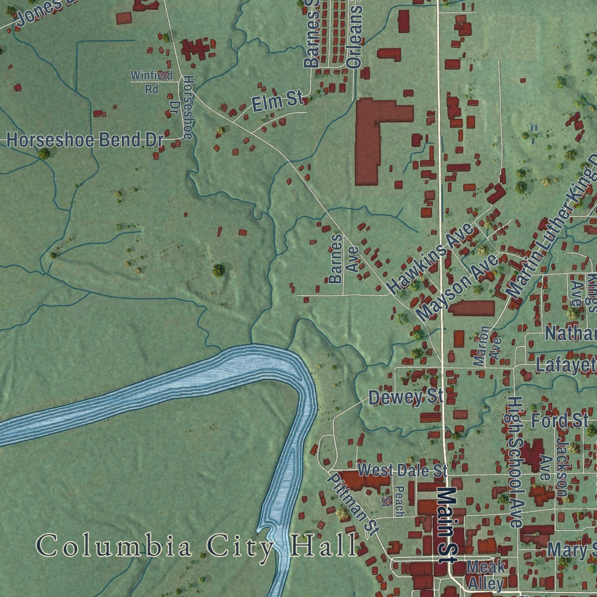
Explore Columbia, Mississippi from a whole new perspective. Created using aerial imagery and detailed geographic data, this map captures Columbia building by building, with labeled streets, familiar landmarks, and shaded topographical relief that highlights the natural contours of the landscape.
Combining modern data with the timeless character of a vintage atlas, this map is just as interesting up close as it is beautiful on the wall. Whether you grew up in Columbia, spent memorable years there, or call it home today, this unique map is a great way to celebrate a place that means something to you. Zoom in on the preview to look for your street, and then order a print to put your memories on the wall.
Three ways to hang it
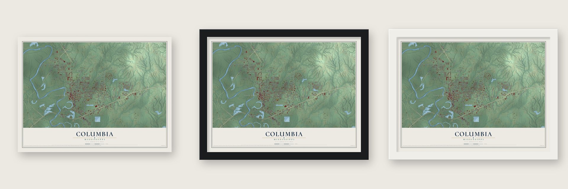
Unframed archival matte, a black wood frame or a white wood frame.
Up close
Geography Worth Displaying
This map was created using accurate cartographic data and authoritative geographic sources, including the U.S. Geological Survey and the Census Bureau. The map brings together terrain, waterways, roads, and building detail. The majority of the streets are labeled, houses are accurately depicted, and the topography is derived from government sources. Combining local data with carefully composed color and shading leads to this beautifully detailed Columbia artwork for your wall.
Rather than simply showing street outlines, we’ve included as many of the street names as we could reasonably fit on the map while keeping their names legible. Zoom in on the high resolution preview to see exactly what’s on the map. We truly set out to create a statement piece for anyone who loves Columbia. So whether it’s for you, or a gift for someone you love, we hope this map of Columbia brings back fond memories.
Read the story behind this map of Columbia, Mississippi from 2026.
About Columbia, Mississippi
Columbia is a city of 5,864 people and the seat of Marion County, beside the Pearl River in southern Mississippi. It took its name from Columbia, South Carolina, because many of its early settlers had come from there. Several men of the Lott family settled on the river here in 1813. The town was incorporated on June 25, 1819, as the fourth municipality in the state, and William and John Lott bought the land at its center on April 18, 1820.
An act of February 7, 1821, made Columbia the capital of Mississippi, and the legislature met here in December 1821 and again in June 1822. Governor Poindexter finished his term in Columbia, and a special session inaugurated Governor Walter Leake. That same session chose LeFleur's Bluff, now Jackson, as the permanent capital, so Columbia's time as the seat of government ended late in 1822.
- A courthouse that was sparedDuring the Civil War, Union troops under Gen. John Wynn Davidson camped outside Columbia and took provisions from the people here, but they left the courthouse alone. A new county courthouse, expected to cost about $65,000, was nearly finished in 1906. The Marion County Courthouse and Jail joined the National Register in 1995, and county records older than statehood have come through war, floods, tornadoes and hurricanes.
- Steamboats on the PearlFor its first 100 years, Columbia shipped its goods on the Pearl River, which was much deeper and wider then than it is today. Steamboat captains such as John Black made their homes in town. The same river has always put Columbia at risk of flooding.
- From 507 people to 2,000The Columbia division of the Gulf & Ship Island Railroad made the town a shipping point for the long leaf pine belt. Turpentine, rosin, staves, hardwood, logs and lumber went out by rail and by river. Columbia had 507 people in 1900, and by 1906 a careful estimate put it at 2,000. The Columbia Bank opened in 1900, the Pearl River Bank in 1904, and a new high school building cost $30,000.
- Two noted architectsA. Hays Town and his partner N. W. Overstreet were two of Mississippi's most prominent twentieth-century architects, and both left work in Columbia. Town designed the Lampton House, and Overstreet designed Columbia High School.
- Walter Payton's high schoolBorn in Marion County in 1954, Walter Payton played running back at Jefferson High School, the school for Columbia's black students until the schools were integrated in January 1970. He went on to Jackson State University and the Chicago Bears, and later entered the league's Hall of Fame.
Find your street
Names on the Columbia map
Every name below is printed on this map. Look for your street, your school, the park where you played, or the pond down the road.
Places and landmarks1
- Columbia City Hall
Streets and roads157
- Main Street
- South High School Avenue
- Lumberton Road
- Highway 35 North
- Highway 98 East
- Sumrall Road
- Highway 98 West
- Highway 13 South
- Broad Street
- West Avenue
- National Guard Road
- Alberta Avenue
- Columbia Purvis Road
- Orchard Drive
- McDonald Lane
- North Park Avenue
- East Rankin Street
- Nathan Street
- Glenmore Drive
- Church Street
- Old Highway 98 East
- North Main Street
- Pearl Street
- Old Highway 35 North
- Old Foxworth Road
- Friendship Church Road
- South Park Avenue
- Highway 198
- Old Sumrall Road
- Industrial Park Road
Show all 157 streets
- Pine Ridge Road
- Hawkins Avenue
- Lafayette Street
- Gill Street
- Jones Lane
- Dale Street
- Dean Griner Road
- Wiggins Road
- Horseshoe Bend Drive
- Evergreen Street
- Eagle Day Avenue
- Martin Luther King Drive
- West Lakeview Drive
- Owens Street
- Water Park Lane
- High School Avenue
- East Marion School Road
- Hartfield Road
- Park Avenue
- South Main Street
- Orleans Street
- Bellewood Boulevard
- Odom Road
- Oak Avenue
- Dean Griner Drive
- Mary Street
- Katherine Drive
- Fortenberry Road
- Washington Street
- Lakeshore Drive
- Barnes Street
- East Street
- Ashbury Place
- Bolton Lane
- Sunset Drive
- Mayson Avenue
- Oaklawn Drive
- Wilks Road
- Clearview Drive
- Harmony Road
- Bullis Street
- Dewey Street
- Riverview Drive
- White Street
- Aztec Trail
- Beets Road
- Bay Avenue
- Wade Street
- Barber Drive
- Bryan Avenue
- Ford Street
- Keys Avenue
- George Drive
- Willow Drive
- Elm Street
- Jill Street
- Pittman Street
- West Dale Street
- Meak Alley
- Ridgewood Drive
- Lyncrest Avenue
- Branton Avenue
- East Avenue
- Broadmoor Avenue
- Brown Avenue
- Jackson Avenue
- Duff Street
- Sandalwood Drive
- Meadowood Road
- Dukes Avenue
- Woodlawn Drive
- Rustique Brick Drive
- Barnes Avenue
- Old Ross Acres
- Pinehurst Drive
- Pinehill Drive
- West Payton Road
- McNeese Street
- Country Club Drive
- Park Street
- Lakeview Road
- Jims Road
- Virginia Avenue
- Magnolia Avenue
- Lombard Road
- Stanley Barnes Lane
- Elm Drive
- Briarwood Drive
- Maple Avenue
- Melba Street
- Kings Avenue
- Dale Drive
- Edie Street
- Airport Road
- Giles Drive
- Bell Street
- Marion Avenue
- East Lakeview Drive
- Acy Jackson Road
- Chapman Street
- West Rankin Street
- Carolyn Avenue
- Hendricks Street
- Arkansas Avenue
- Ramshur Loop
- Stonewood Drive
- Horseshoe Drive
- Cane Cv
- Bennett Street
- Rogers Avenue
- Beatrice Avenue
- Humble Avenue
- Pine Avenue
- Alley Street
- Eric Drive
- Prine Drive
- Pope Street
- Porter Street
- Peach Street
- Old Lakeview Drive
- Greymont Drive
- McDaniel Street
- Winfield Road
- Ferrell Avenue
- Duane Avenue
- Boone Street
- Harris Avenue
Names are listed as they appear on the printed map. Zoom into the product photos to find them.
The art of mapping a place
How This Map Was Made
Real places. Remarkable detail. Discover the layers that turn geographic data into a map of home.

The view from above
Aerial imagery reveals the character of the land: woodland, open fields, and the patterns of a place.

The shape of the land
Elevation data brings hills, valleys, and subtle changes in the landscape into view.

The details of home
Roads, waterways, and building footprints come together to make the map feel unmistakably local.

Geography becomes art
Considered color, shading, and typography bring the layers together in a map made for your wall.


Process illustrated with Mendon, Massachusetts. Aerial imagery: USDA NAIP. Terrain: USGS 3D Elevation Program. Map details and finished artwork: KNOWOL.
The Details
About This Print
Choose an archival matte print, or a black or white Ayous wood frame. The archival matte print is unframed.
Select your size and finish above to see the matching product image and price.
Materials & Craftsmanship
A contemporary map with the character of a classic atlas, printed on archival matte paper. Optional frames are made from Ayous wood.
Your printed map does not include the watermark shown in the full-map preview.
Shipping & Delivery
Free shipping within the United States. Every print is made to order in the USA.
Buying a gift? Add a note in your cart and we'll include it. We never put prices in the package.
Prints ship within 2 to 3 business days. Allow 7 to 10 days total from ordering for delivery. Timing may vary during holidays or periods of high order volume.
Read our shipping policy.
Returns and damaged prints
Each print is made to order. Change-of-mind refunds are not available after production.
If your print arrives damaged, misprinted or incorrect, contact support@knowol.com within 30 days of receiving it. Include your order number, photos and a description of the issue.
Read our full refund and replacement policy. For questions about your order, email support@knowol.com.
Find your town
Looking for another city?
Find a map of home in our Mississippi collection, or any town in the country.
Nearby
Maps of towns near Columbia
Know someone from one of these towns? Their map makes a great gift.
 Foxworth
, Mississippi
From $39.99See the map
 Kokomo
, Mississippi
From $39.99See the map
 Bassfield
, Mississippi
From $39.99See the map
More maps nearby: Baxterville, Sumrall, Tylertown, Prentiss and Oak Grove.