
Search for another town

Free U.S. delivery 7 to 10 days after you order
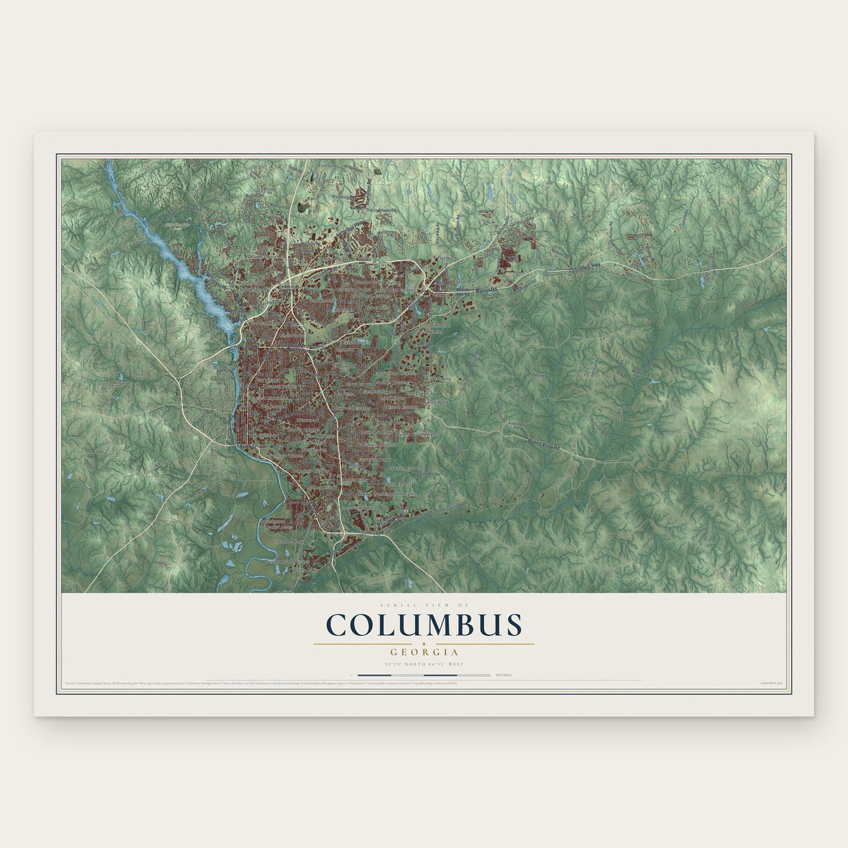
Columbus, Georgia Map Art
Building by building, with labeled streets and shaded relief.
12" x 18" Archival Matte Print
A Map of Home. A Work of Art.
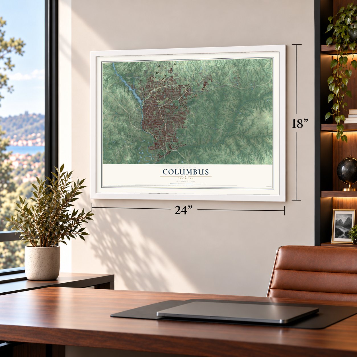
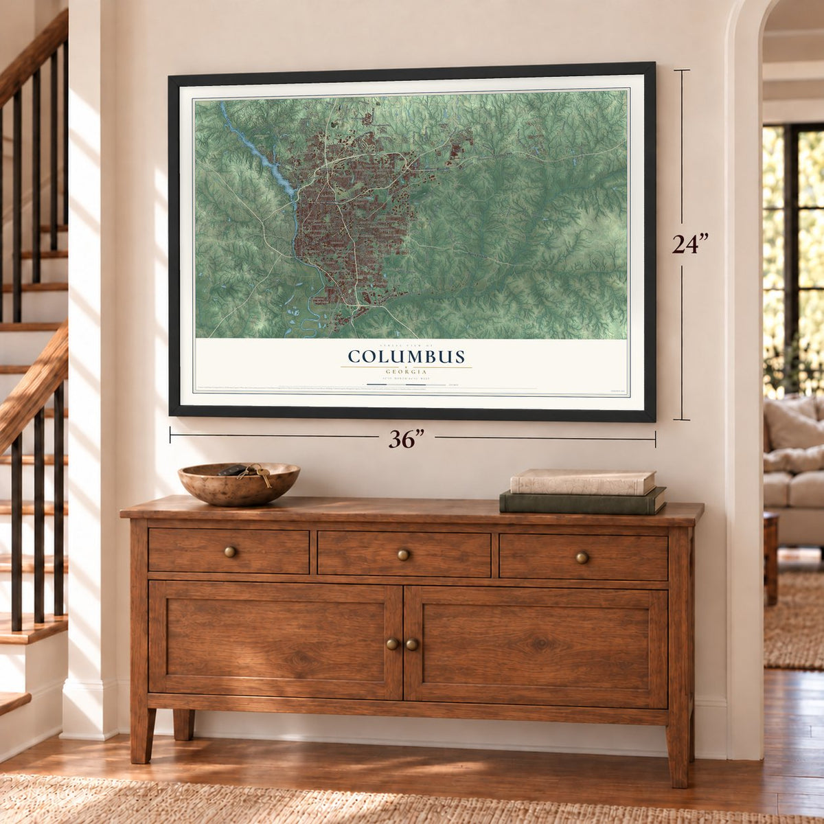
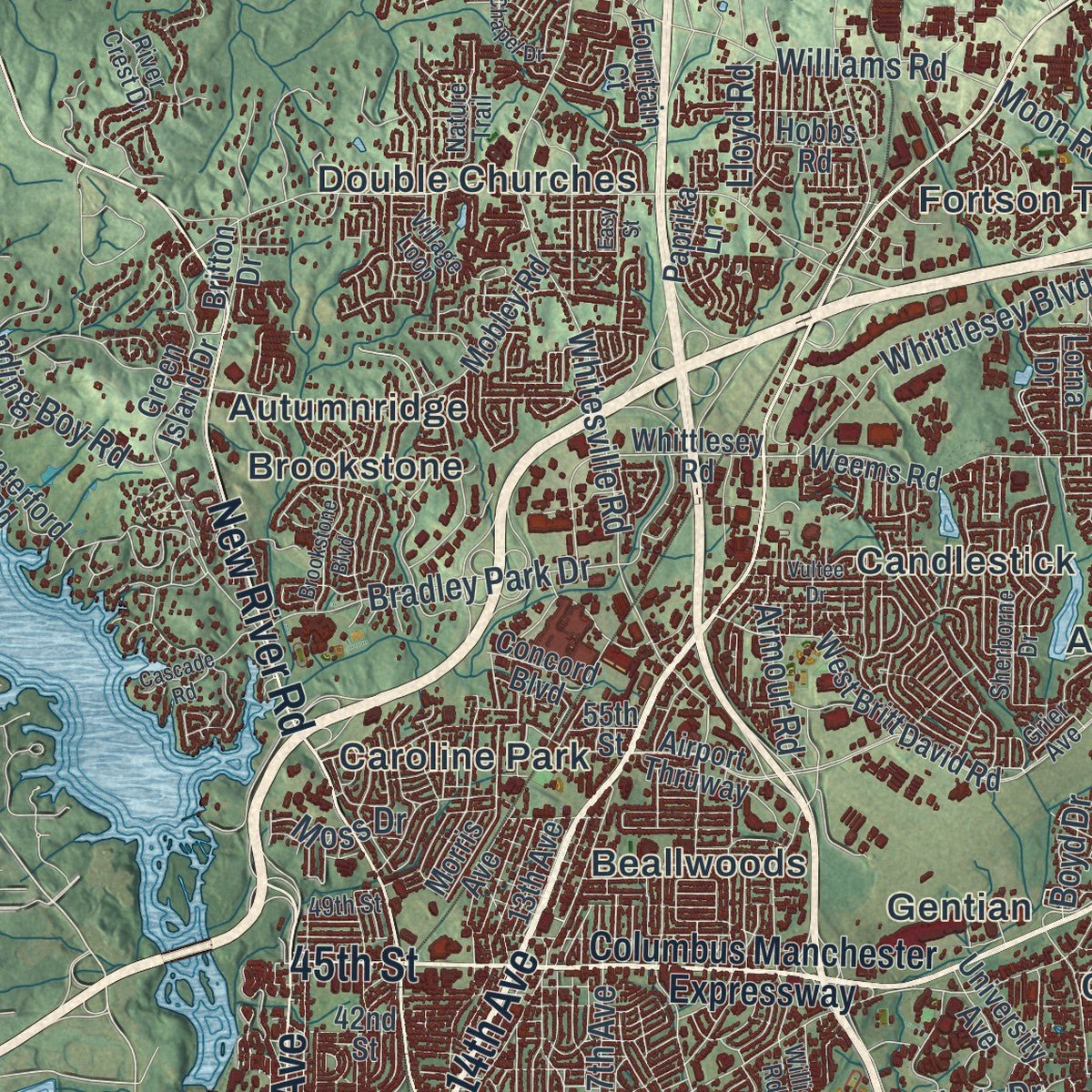
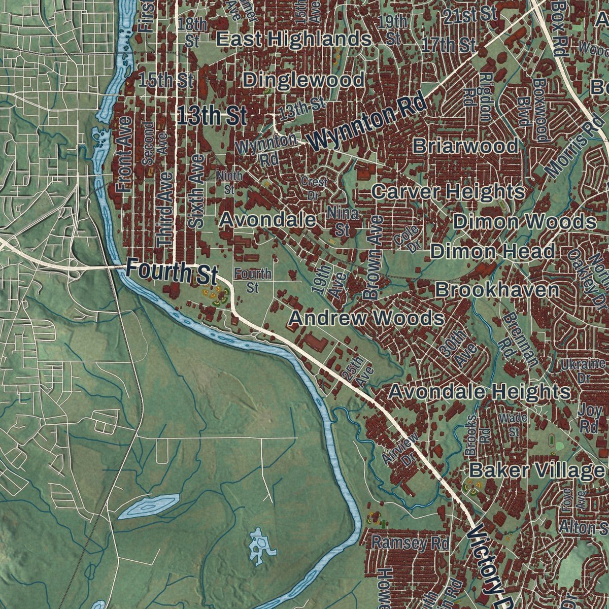
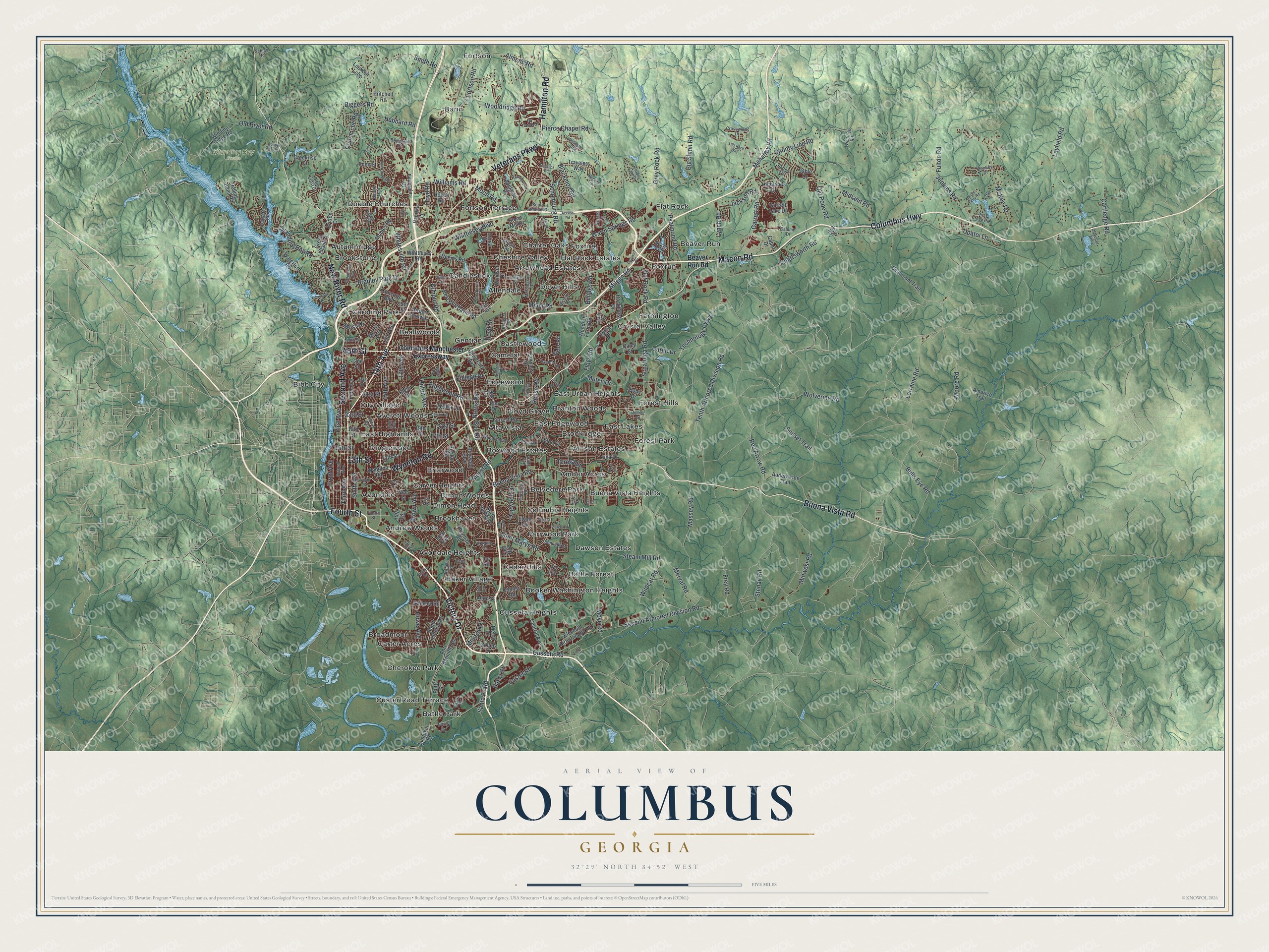
Explore Columbus, Georgia from a whole new perspective. Created using aerial imagery and detailed geographic data, this map captures Columbus building by building, with labeled streets, familiar landmarks, and shaded topographical relief that highlights the natural contours of the landscape.
Combining modern data with the timeless character of a vintage atlas, this map is just as interesting up close as it is beautiful on the wall. Whether you grew up in Columbus, spent memorable years there, or call it home today, this unique map is a great way to celebrate a place that means something to you. Zoom in on the preview to look for your street, and then order a print to put your memories on the wall.
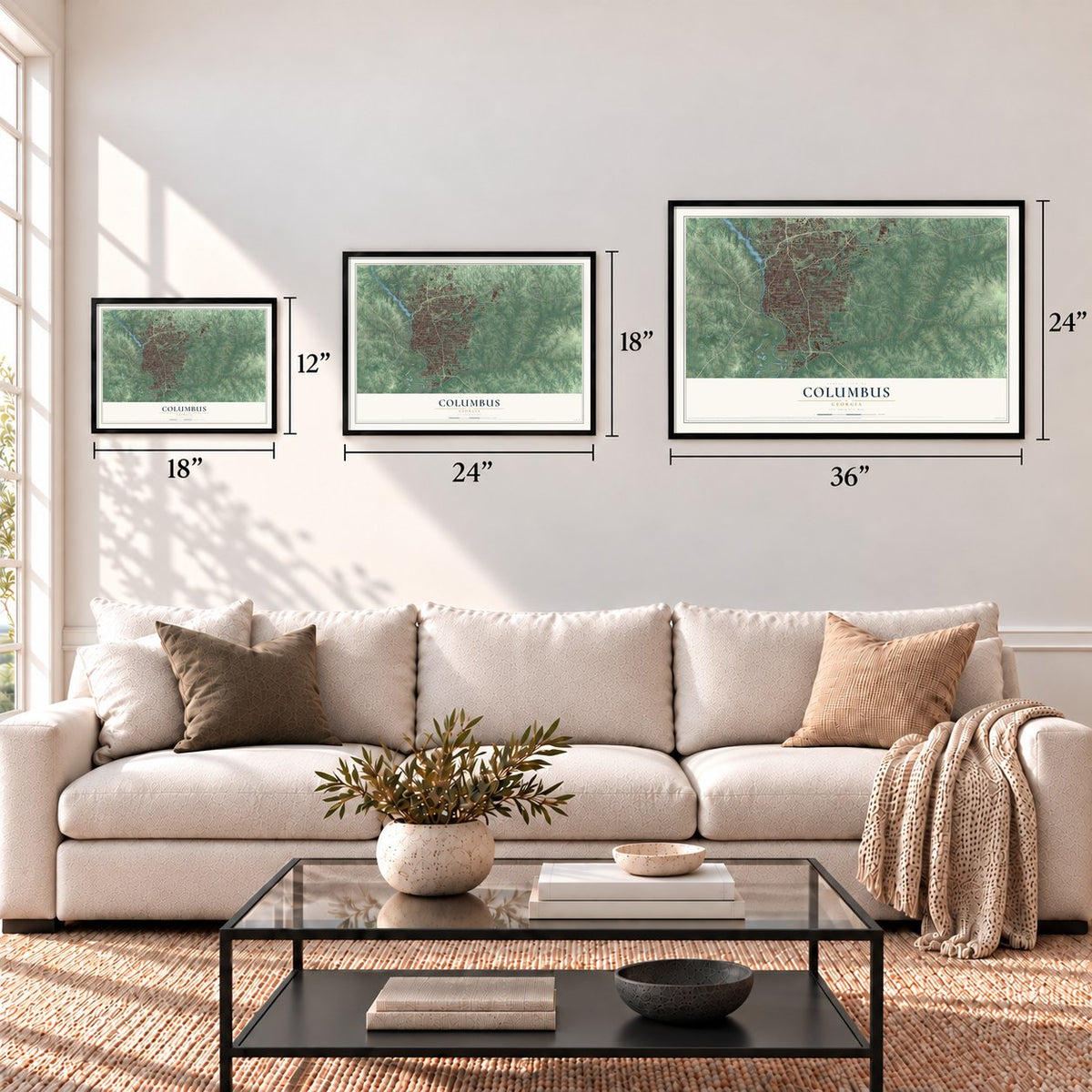
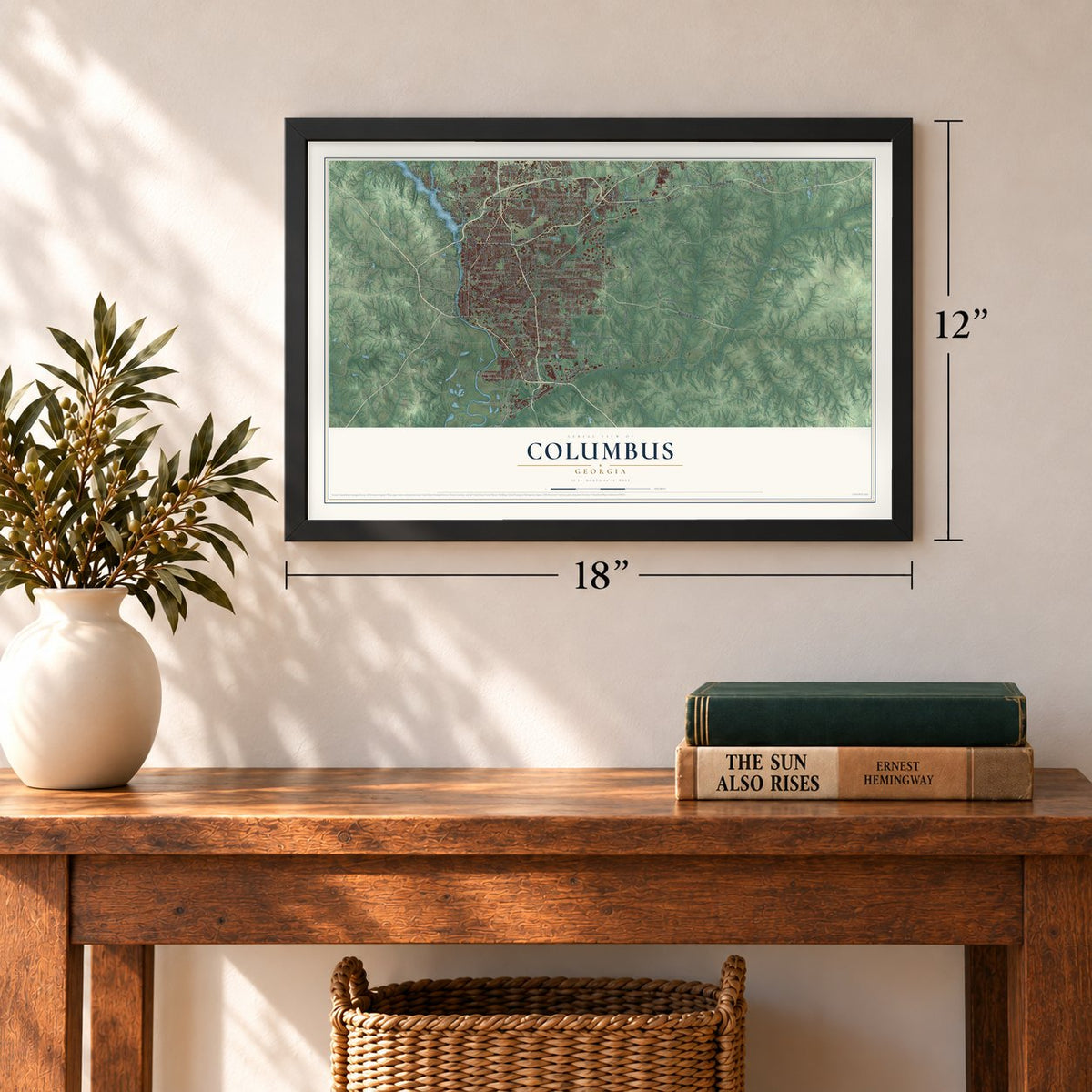
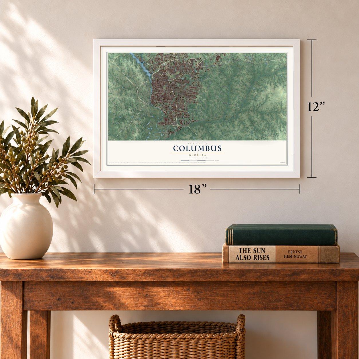
Three ways to hang it
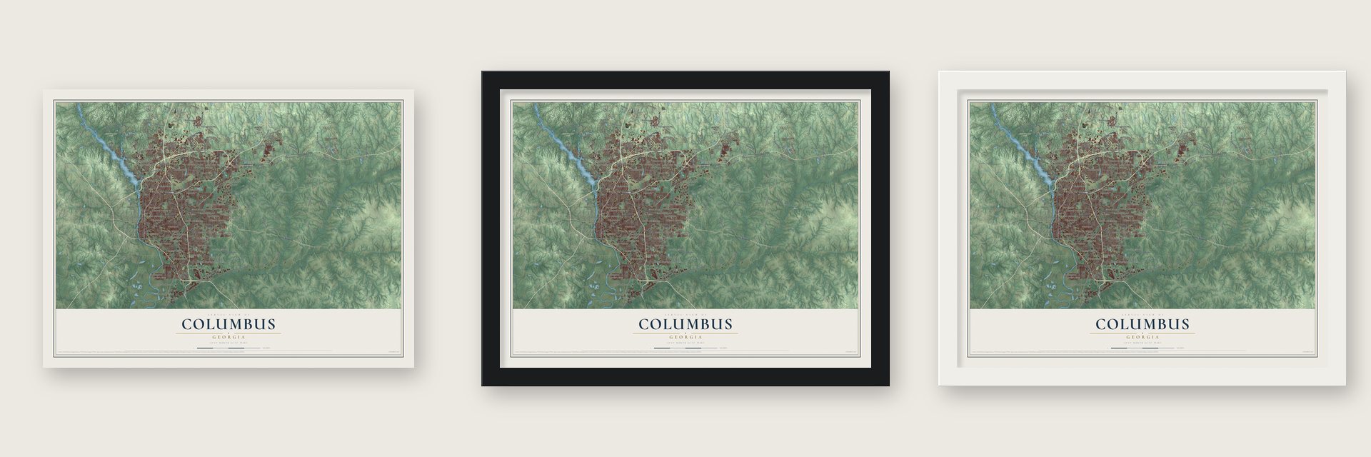
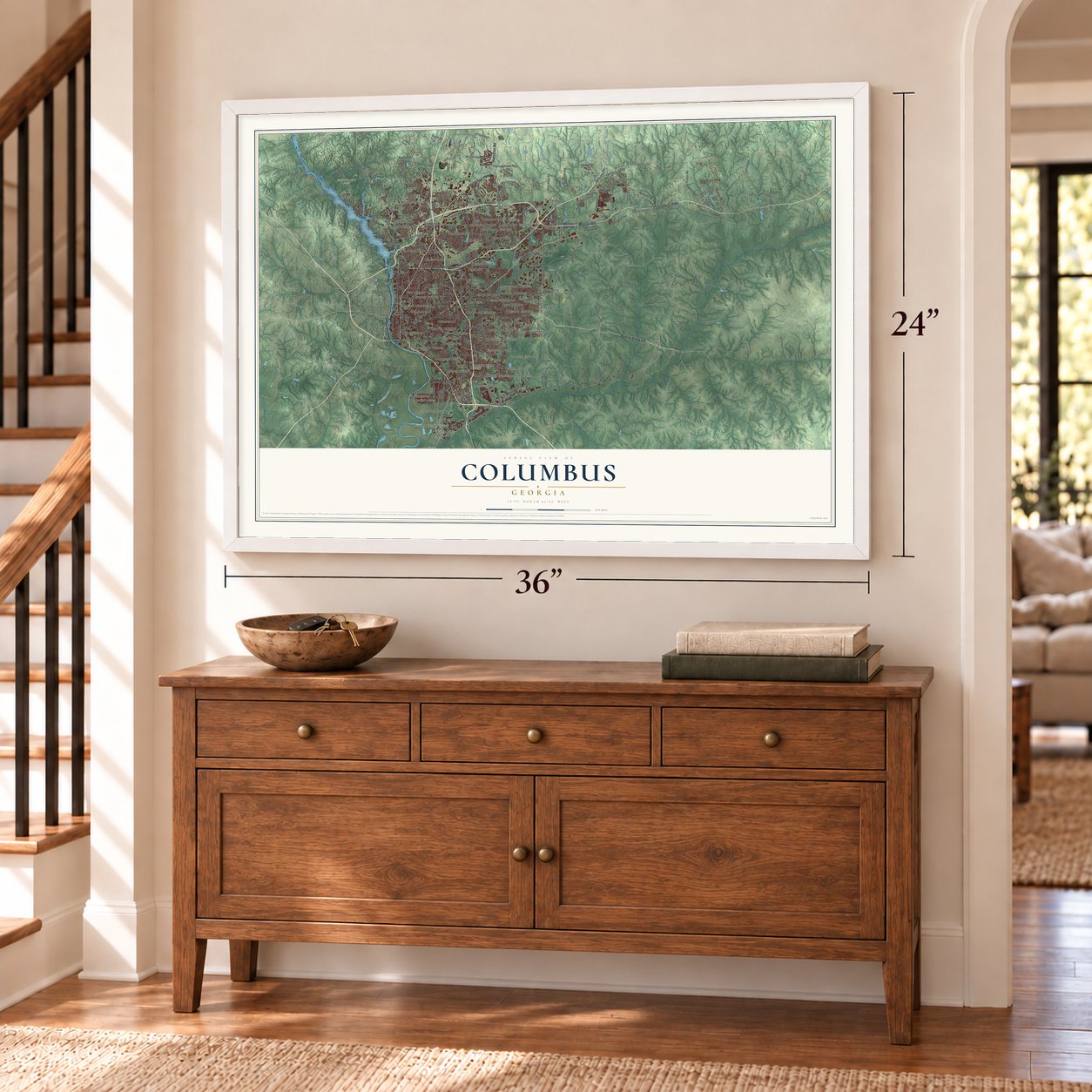
Unframed archival matte, a black wood frame or a white wood frame.
Up close
Geography Worth Displaying
This map was created using accurate cartographic data and authoritative geographic sources, including the U.S. Geological Survey (USGS) and FEMA. The map brings together terrain, waterways, roads, and building detail. The majority of the streets are labeled, houses are accurately depicted, and the topography is derived from government sources. Combining local data with carefully composed color and shading leads to this beautifully detailed Columbus artwork for your wall.
Rather than simply showing street outlines, we’ve included as many of the street names as we could reasonably fit on the map while keeping their names legible. Zoom in on the high resolution preview to see exactly what’s on the map. We truly set out to create a statement piece for anyone who loves Columbus. So whether it’s for you, or a gift for someone you love, we hope this map of Columbus brings back fond memories.
Explore the full map of Columbus, Georgia and read about the local places it shows.
Find your street
Names on the Columbus map
Every name below is printed on this map. Look for your street, your school, the park where you played, or the pond down the road.
Places and landmarks66
- Standing Boy Trails
- Allendale
- Allison Estates
- Alta Vista
- Amber Acres
- Andrew Woods
- Arrowhead Estates
- Autumnridge
- Averett Woods
- Avondale
- Avondale Heights
- Baker Village
Show all 66 places
- Barin
- Battle Forest
- Battle Park
- Beallwoods
- Beaver Run
- Belvedere Park
- Bibb City
- Booker Washington Heights
- Boxwood Estates
- Branton Woods
- Briarwood
- Broadmoor
- Brookhaven
- Brookridge
- Brookstone
- Buena Vista Heights
- Camelot
- Candlestick
- Caroline Park
- Carter Acres
- Carver Heights
- Castlewood
- Cedar Hills
- Charter Oaks
- Cherokee Park
- Cheshire Valley
- City Village
- Columbia Heights
- Crystal Valley
- Cusseta Heights
- Custer Road Terrace
- Dawson Estates
- Dimon Head
- Dimon Woods
- Dinglewood
- Double Churches
- Dover Hills
- East Edgewood
- East Highlands
- East Lakes
- East Urban Heights
- Edgewood
- Farmington
- Farrwood Park
- Flat Rock
- Flat Rock Estates
- Floyd Grove
- Forest Hills
- Forest Park
- Fortson
- Fortson Terrace
- Foxfire
- Foxrun
- Gentian
Streets and roads259
- Veterans Parkway
- Victory Drive
- Buena Vista Road
- 14th Avenue
- Fourth Street
- 13th Street
- Wynnton Road
- Hamilton Road
- Macon Road
- Columbus Highway
- New River Road
- Second Avenue
- 45th Street
- Schatulga Road
- Second Armored Division Road
- College Drive
- Whitesville Road
- Warm Springs Road
- Red Arrow Road
- Moore Road
- Technology Parkway
- Tenth Armored Division Road
- Lorraine Road
- Steam Mill Road
- Cusseta Road
- Midwest Road
- Chattsworth Road
- Wildcat Road
- Old River Road
- Milgen Road
Show all 259 streets
- Custer Road
- Moye Road
- County Line Road
- Fortson Road
- Third Avenue
- Pierce Chapel Road
- Garrett Road
- Saint Marys Road
- Moon Road
- First Avenue
- Miller Road
- Layfield Road
- Massey Road
- Floyd Road
- Cartledge Road
- Reese Road
- Midland Road
- Smith Road
- Biggers Road
- Blackmon Road
- 17th Avenue
- Bulls Eye Road
- McKee Road
- Cargo Drive
- 17th Street
- Fulton Road
- Standing Boy Road
- Wolverine Road
- Upatoi Lane
- Morris Road
- Schomburg Road
- Sixth Avenue
- Flat Rock Road
- Psalmond Road
- Bradley Park Drive
- Williams Road
- 15th Street
- Hilton Avenue
- Wooldridge Road
- Armour Road
- Hubbard Road
- Mutec Drive
- Santa Fe Road
- Whittlesey Boulevard
- Grey Rock Road
- Front Avenue
- Merval Road
- Lynch Road
- Jenkins Road
- 21st Street
- Sunset Trail
- Edgewood Road
- Comanche Road
- Billings Road
- Brown Avenue
- Big Shinn Road
- 23rd Street
- Howe Avenue
- Frey Road
- Old Pope Road
- Stenay Road
- Jackson Road
- Mehaffey Road
- Almond Road
- Baker Street
- Dogwood Drive
- Norris Road
- Box Road
- Lynda Lane
- Teresa Street
- Munson Drive
- 31st Street
- Lloyd Road
- Moss Drive
- Boyd Drive
- Beaver Run Road
- Columbus Manchester Expressway
- 13th Avenue
- Joy Road
- West Britt David Road
- Fort Benning Road
- South Lumpkin Road
- Forrest Road
- Winding Ridge Road
- Fifth Avenue
- Weems Road
- Beaumont Trail
- Lumpkin Road
- Woodruff Farm Road
- Green Island Drive
- Mobley Road
- Audernarde Trail
- Eleventh Airborne Div Road
- 18th Street
- University Avenue
- Americo Trail
- Whittlesey Road
- Airport Thruway
- Brennan Road
- 42nd Street
- Luna Drive
- Fairview Drive
- Sears Road
- Waterford Road
- Rigdon Road
- Farr Road
- 19th Street
- Morris Avenue
- Creekrise Drive
- 30th Avenue
- North Oakley Drive
- Travelers Way
- Boxwood Boulevard
- Central Avenue
- 19th Avenue
- Windsor Drive
- Fountain Court
- Rolling Bend Road
- Terry Drive
- Garrett Lake Drive
- Conner Road
- Concord Boulevard
- Lookout Loop
- Elm Drive
- Boby Drive
- Ramsey Road
- Crystal Drive
- Highlands Drive
- Collins Drive
- Adelaide Drive
- Rockhurst Drive
- Butts Street
- Eton Drive
- Stone Mill Drive
- Meloy Drive
- 55th Street
- Paprika Lane
- Moon Circle
- Pritchett Road
- Nina Street
- Hobbs Road
- Alton Street
- Canal Street
- Lorna Drive
- Eden Street
- Britton Drive
- Sorrel Court
- Capot Drive
- Evans Street
- Sable Court
- Oak Circle
- Elgin Drive
- Beaver Trail
- Comer Avenue
- 15th Avenue
- 35th Street
- Celia Drive
- River Crest Drive
- 49th Street
- Bentley Drive
- Cross Creek Road
- Craig Drive
- Nature Trail
- Hunt Avenue
- Morningside Drive
- Woodland Drive
- Goodson Drive
- Yosemite Drive
- South Stadium Drive
- Bishop Drive
- Vista Drive
- Bridgemill Drive
- Ukraine Drive
- Kennedy Street
- Windrush Road
- Crosswinds Drive
- Grady Drive
- Lullwater Road
- Sherborne Drive
- 25th Avenue
- Ivy Patch Drive
- Brooks Road
- Calumet Drive
- Canady Street
- Rodgers Drive
- Airview Drive
- Chaucer Lane
- Village Loop
- Battery Drive
- Schley Road
- Affirm Lane
- Cole Drive
- Willis Road
- Pope Road
- Grier Avenue
- Tenth Street
- Gateway Road
- Turnberry Lane
- Ninth Street
- Bunker Hill Road
- Hancock Road
- Primrose Road
- Chapel Lake Drive
- Brookstone Boulevard
- Midland Trce
- Cascade Road
- Twin Chapel Drive
- Wellington Trce
- Harpers Ferry Road
- Vultee Drive
- Barbara Road
- Carson Drive
- Pye Avenue
- Leary Avenue
- Asa Drive
- Mitchell Road
- Pierce Road
- Access Road
- Lilly Rock Way
- Copper Beeches
- Posey Lane
- Foye Avenue
- Joyner Drive
- Allen Street
- Hall Court
- Statler Drive
- Easy Street
- Wade Street
- Crest Drive
Names are listed as they appear on the printed map. Zoom into the product photos to find them.
About Columbus, Georgia
Columbus is a consolidated city and county on Georgia's west-central border, facing Phenix City, Alabama, across the Chattahoochee River. Founded in 1828, it grew through river commerce, rail connections, textile mills, and military ties. Its landscape marks Georgia's Fall Line, where the Piedmont's hills meet the flatter coastal plain.
- 2020 PopulationThe 2020 U.S. census counted 206,922 residents in Columbus.
- Consolidated GovernmentColumbus and Muscogee County consolidated their governments in 1971, the first such consolidation in Georgia.
- River CommerceRiver shipments connected the city's cotton to New Orleans and Liverpool, while railroads arriving in the 1850s increased its commercial importance.
- Urban WhitewaterThe Chattahoochee here holds the world's longest constructed urban whitewater rafting course.
Keep exploring Georgia
Columbus is one of 1,042 Georgia towns we've mapped. Every dot on the map is a print of its own.
The search covers every state, Georgia first.
Near Columbus
Order 2 or more town maps and save 10%. Shown in the size and finish you picked above, so they hang as a set.
- Ellerslie 12" x 18" / Archival Matte Print $39.99
- Cataula 12" x 18" / Archival Matte Print $39.99
- Piney Grove 12" x 18" / Archival Matte Print $39.99
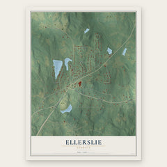
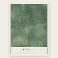

More maps nearby: Cusseta-Chattahoochee County, Box Springs, Waverly Hall, Antioch and Mountain Hill.
The art of mapping a place
How This Map Was Made
Real places. Remarkable detail. Discover the layers that turn geographic data into a map of home.

The view from above
Aerial imagery reveals the character of the land: woodland, open fields, and the patterns of a place.

The shape of the land
Elevation data brings hills, valleys, and subtle changes in the landscape into view.

The details of home
Roads, waterways, and building footprints come together to make the map feel unmistakably local.

Geography becomes art
Considered color, shading, and typography bring the layers together in a map made for your wall.


Process illustrated with Mendon, Massachusetts. Aerial imagery: USDA NAIP. Terrain: USGS 3D Elevation Program. Map details and finished artwork: KNOWOL.
The Details
About This Print
Choose an archival matte print, or a black or white Ayous wood frame. The archival matte print is unframed.
Select your size and finish above to see the matching product image and price.
Materials & Craftsmanship
A contemporary map with the character of a classic atlas, printed on archival matte paper. Optional frames are made from Ayous wood.
Your printed map does not include the watermark shown in the full-map preview.
Shipping & Delivery
Free shipping within the United States. Every print is made to order in the USA.
Buying a gift? Add a note in your cart and we'll include it. We never put prices in the package.
Prints ship within 2 to 3 business days. Allow 7 to 10 days total from ordering for delivery. Timing may vary during holidays or periods of high order volume.
Read our shipping policy.
Returns and damaged prints
Each print is made to order. Change-of-mind refunds are not available after production.
If your print arrives damaged, misprinted or incorrect, contact support@knowol.com within 30 days of receiving it. Include your order number, photos and a description of the issue.
Read our full refund and replacement policy. For questions about your order, email support@knowol.com.